The original plan was to head up to Windy Gap, climb Hawkins, Throop, Burnham, and Baden-Powell, then head back and tag Islip before heading down Islip Ridge.
Our plans had to change, however, as we got a lot more winter than we bargained for.
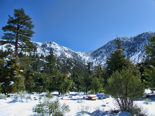
Seeing the campground so covered in snow, we decided we'd head up to Windy Gap and play it by ear, but we were pretty sure we wouldn't be putting in quite as many miles as planned.
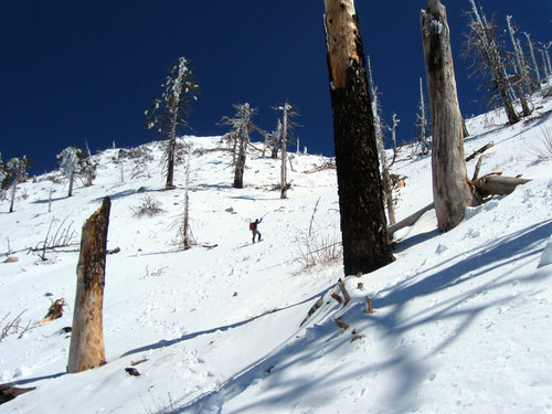
The snow was surprisingly deep through the campground but we were able to follow the Windy Gap trail pretty well most of the way.
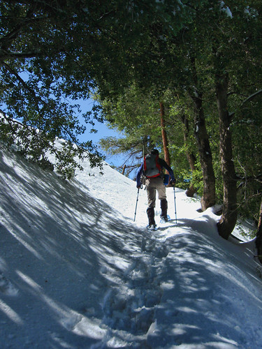
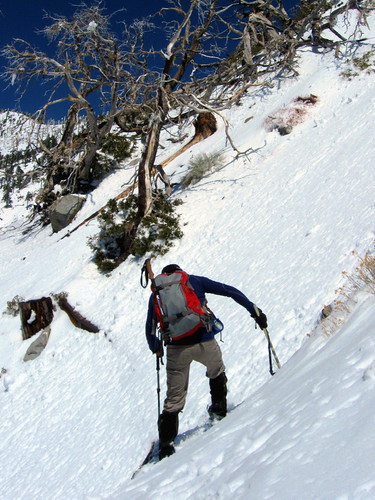
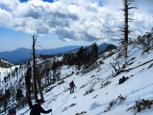
Once we got to the steep rock chutes, however, the trail was completely buried and the set of bootprints we were following turned back. We had to cut our own trail across this face, and only one of us had snowshoes. Needless to say, postholing was the theme of the day, up to our waist most of the time.
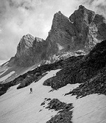
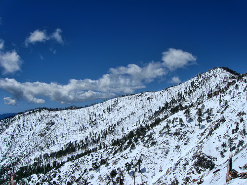
At a certain point, it made more sense to cut straight up the ridge rather than across to Windy Gap, so we actually overshot our goal and headed up towards Mt Hawkins. This was probably my favorite stretch of the hike... It's not easy climbing up this stuff, but fun as hell.
Once at the top of this ridge, we had brilliant views all the way around.
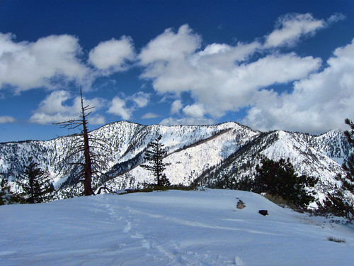
Mt Islip
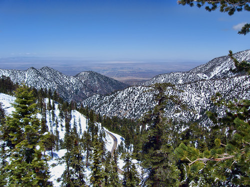
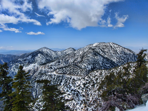
View North Over Highway 2
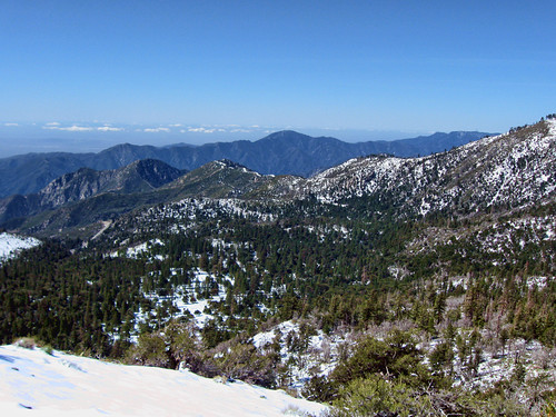
Crystal Lake Basin
Obviously, it took us a lot longer than normal to get up here, so we decided to simply drop down to Windy Gap, head up to Islip, then make our way back down.
Islip is one of those peaks that nobody really ever talks about but has some of the best views.
Throop Peak and Mt Hawkins
Williamson, Pallett, Will Thrall above Hwy 2
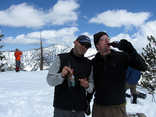
Cheers to an unexpected winter hike 8)
Coming down was fun... the actual trail was buried so deep there wasn't a chance in hell we'd be able to follow it, so we dropped straight down the bowl, glissading much of the way, eventually ending up at Deer Flat for an easy stroll back to the cars.
More pictures here:
http://www.flickr.com/photos/wattifoto/ ... 472471766/