

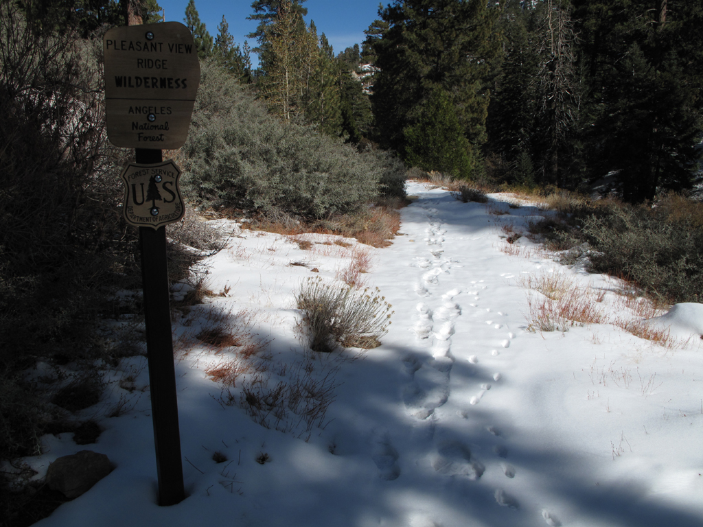
Peaks Saddle split, then continued around to the Waterman Mountain summit trail.This trail was covered with snow in spots, but safely traversable in boots. Part of the day's agenda was to attempt radio communications through repeaters on Mount Wilson and Blue Ridge from
the northern slopes of Waterman Mountain and the Buckhorn Ski Club. Both sites were easy with my 5-watt radio from the higher elevations, but very tough from the ski club's gully.
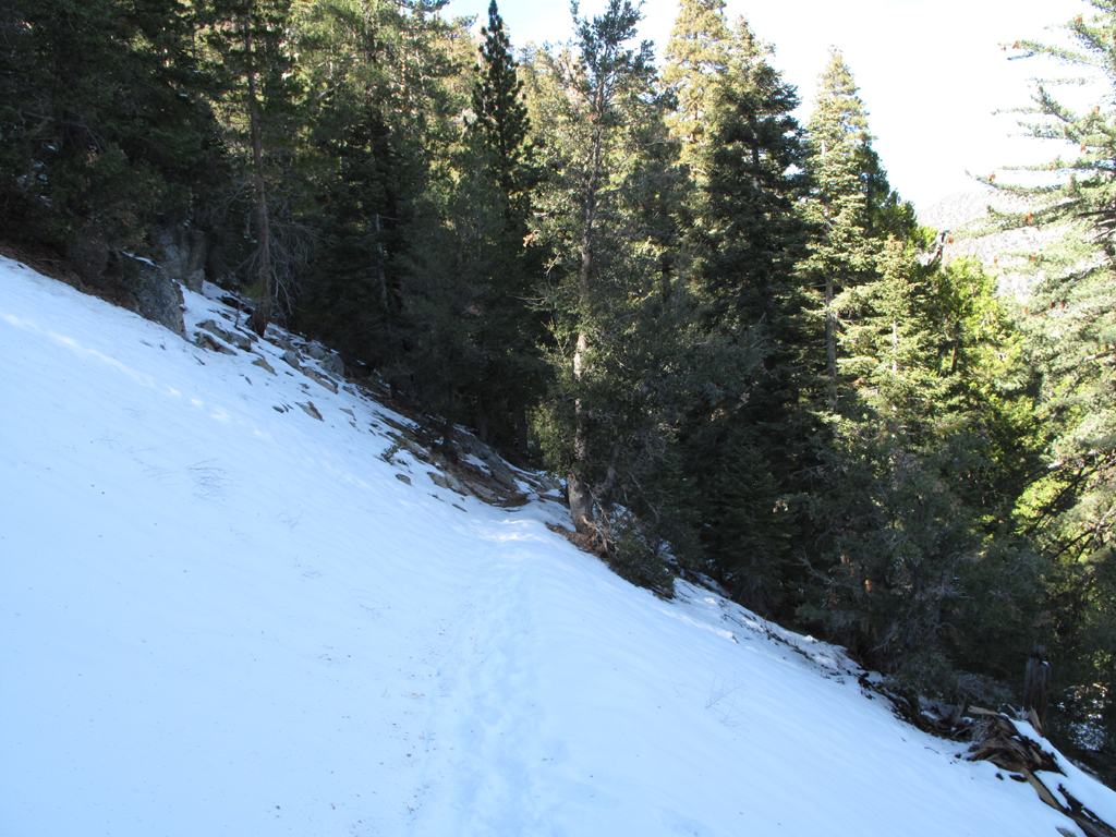
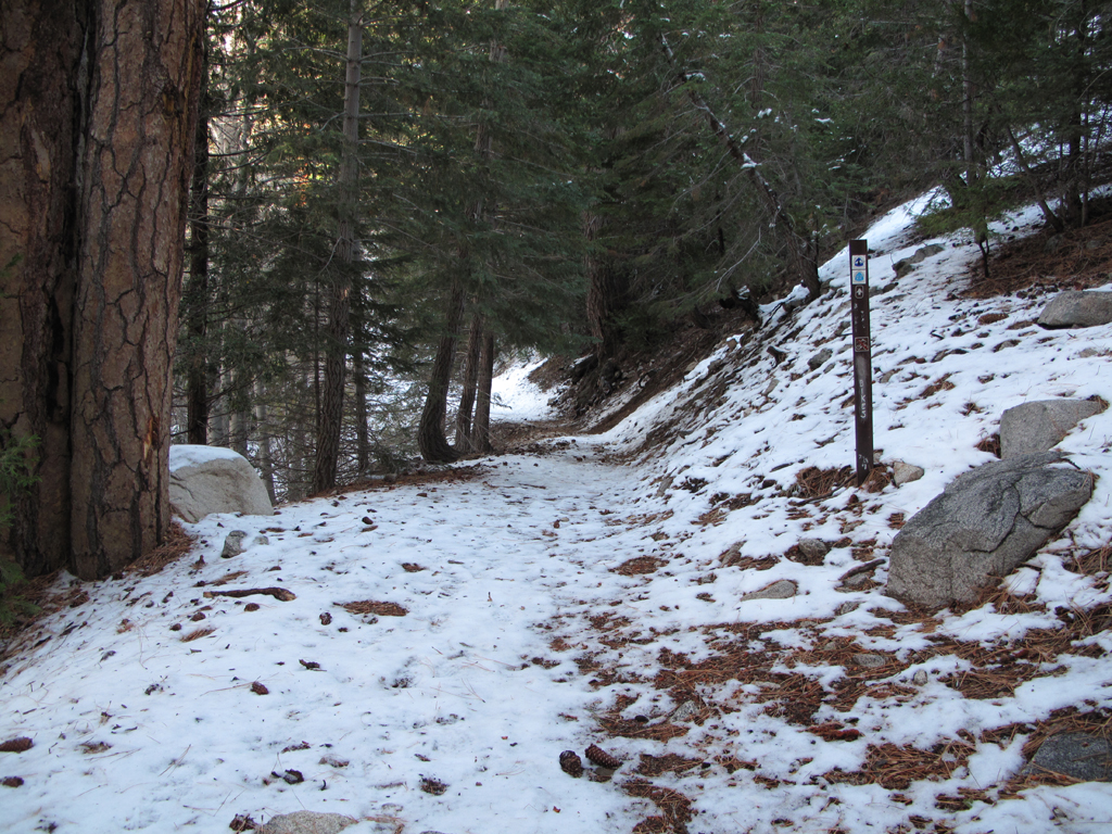
I hiked down through the Waterman ski area, following various fire roads and their remnants to the lift area at Angeles Crest Highway. I next hiked up the road to the ski club for my radio experimentation. After wrapping this up, I hiked down through the beautifully refurbished Buckhorn Campground, on to the Burkhart Trail (10W02). Burkhart was also covered with snow in spots, none very deep, also safely trekkable in boots. I took the trail split to Cooper Canyon and continued to the Trail Camp. From Cooper Canyon Trail Camp, I hiked the PCT, then a light scramble to the top of the Winston Ridge. I've been intrigued by this terrain since spying it many times from PVR. Today was the day that I would attempt to follow its length down to Little Rock Creek.
The trail starts to degrade as it skirts the 6900 foot bump. It regains considerable quality after the 6680' saddle. Snow and ceanothus made for a few sketchy moves as I continued westward. Once I reached the edge of the Station Fire burn area, the only predominant vegetation was the ubiquitous Turricula, Yucca, and charred Manazanita. I think I managed to
kick up enough of the Poodle Dog detritus into my clothes to make myself VERY itchy for the next few days.
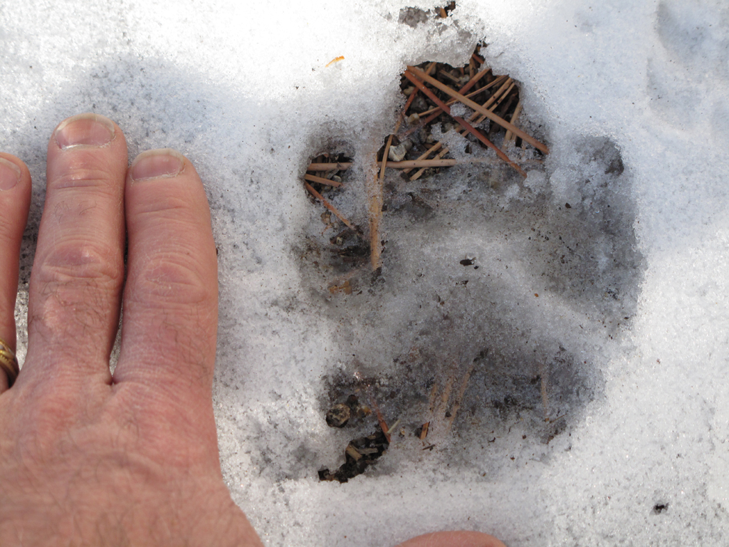
I made the creekbed just at sunset, and scrambled up a steep, sandy ridge to Little Rock Creek Road (5N04.3). I hiked through Pinyon Flats to Sulphur Springs Road (5N04.4) by headlamp. Considering the darkness and plummeting temperature, I chose to return to ThreePoints via the Pacific Crest Trail rather than the road 3N17. I saw several Mule Deer along the way, and noted some terrific adult lion tracks in snow.
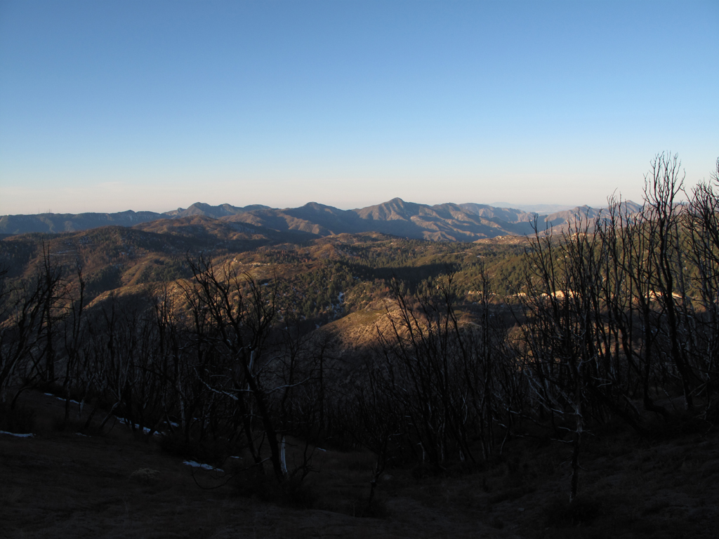
Morning sun lighting up the Front Range and Devil's Canyon.
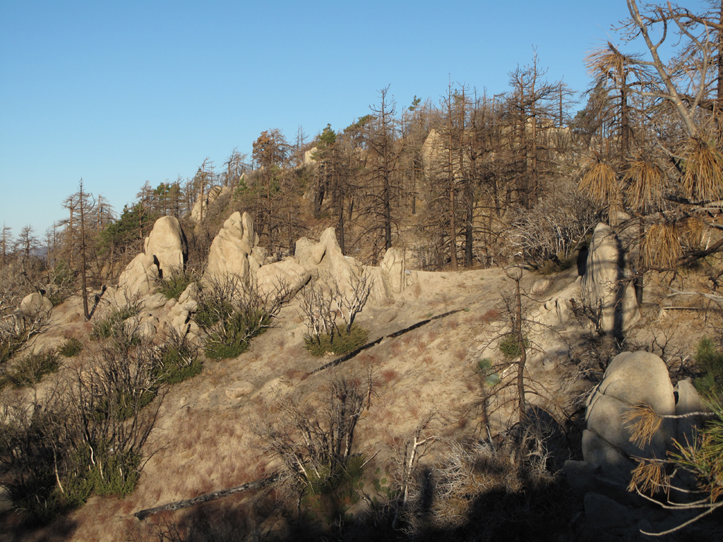
Beautiful south face geology of Waterman Mountain.
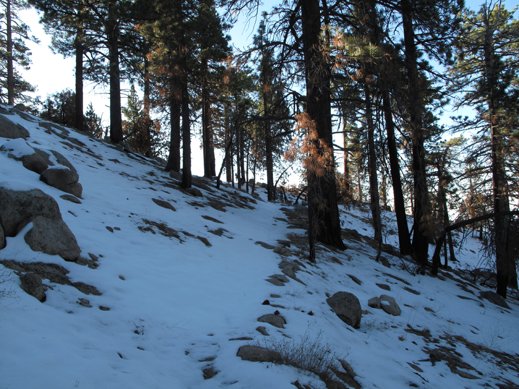
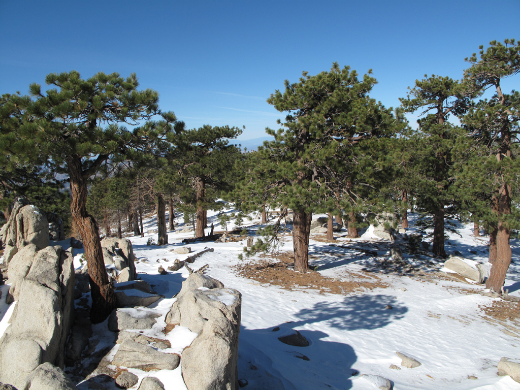
Snowy, but easily passable trail on Waterman's south face.
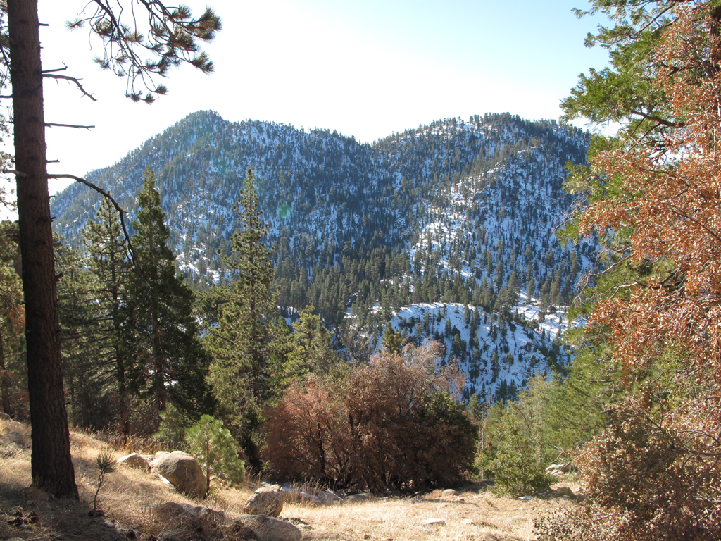
Snowy north face of Twin Peaks.
Here kitty, kitty kitty!
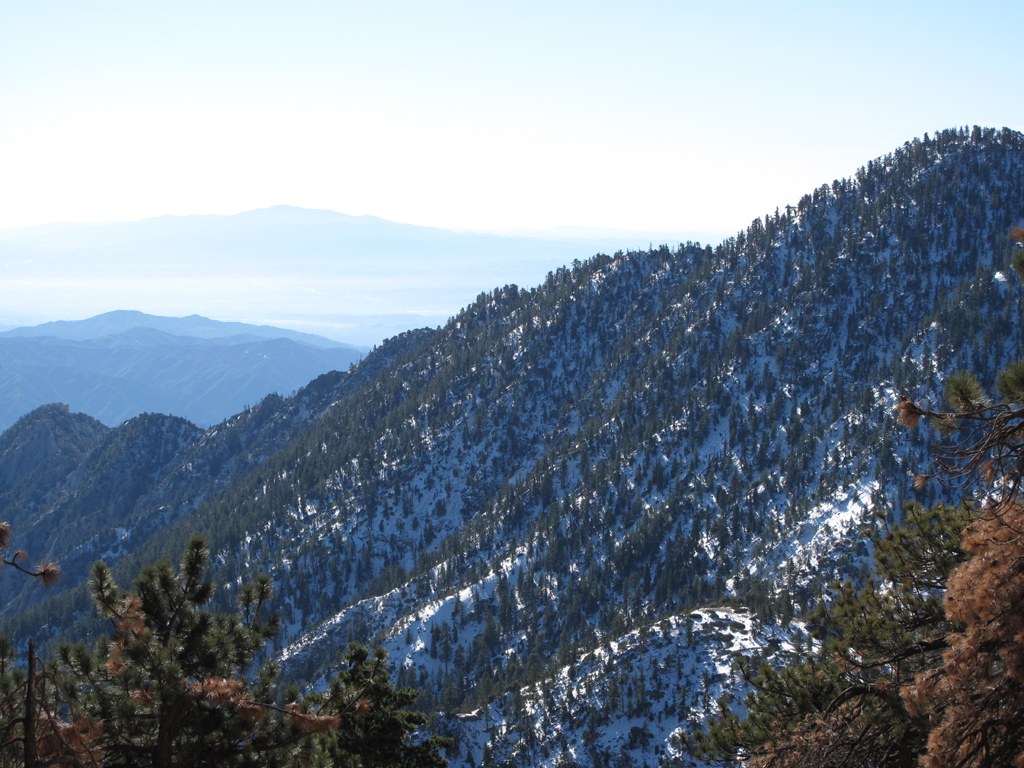
East Twin's ridge to Triplet Rocks.
SR 39. Mount Islip, Hawkins and kin.
Nearing the summit of Waterman Mountain.
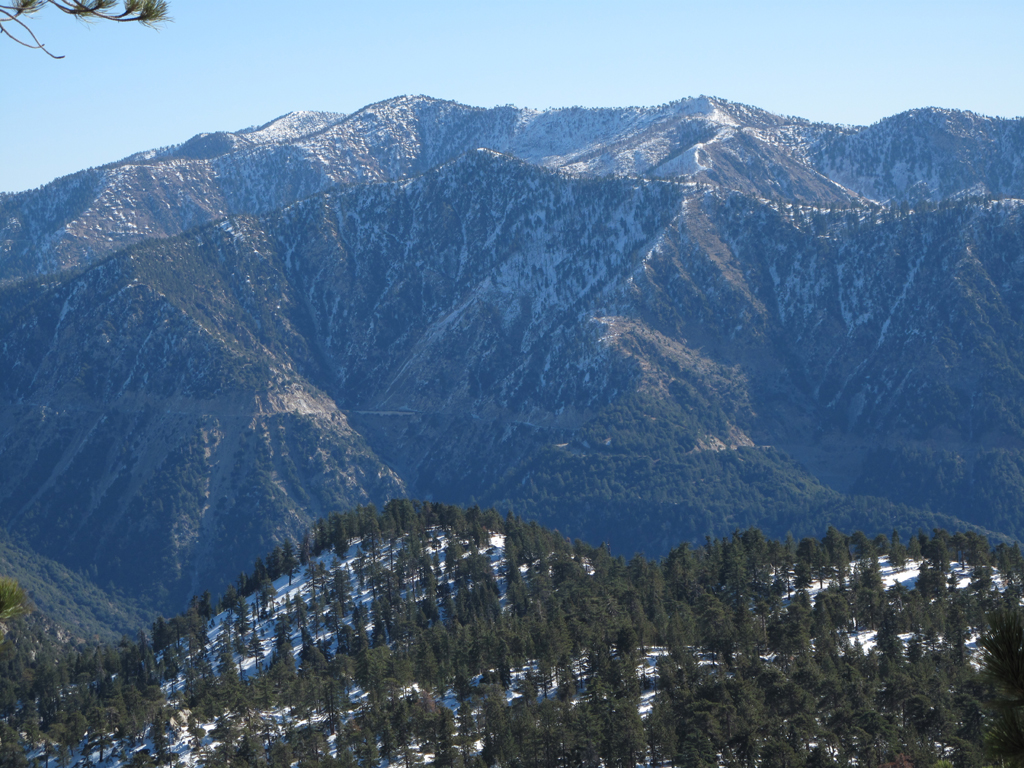
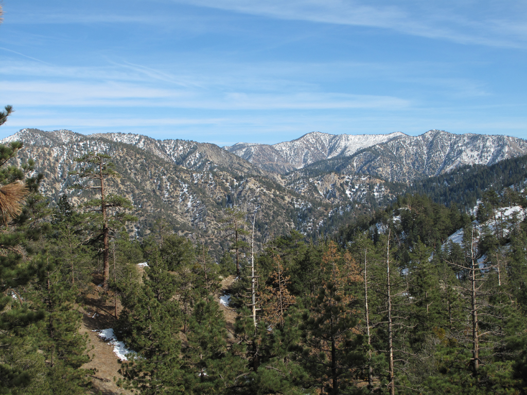
Dawson, Baldy Iron and neighbors.
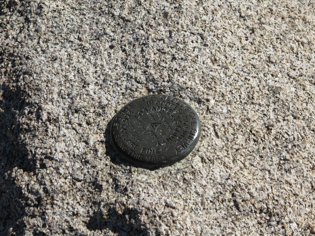
Benchmark "Twin" on Waterman's summit block.
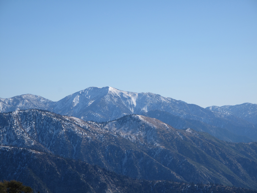
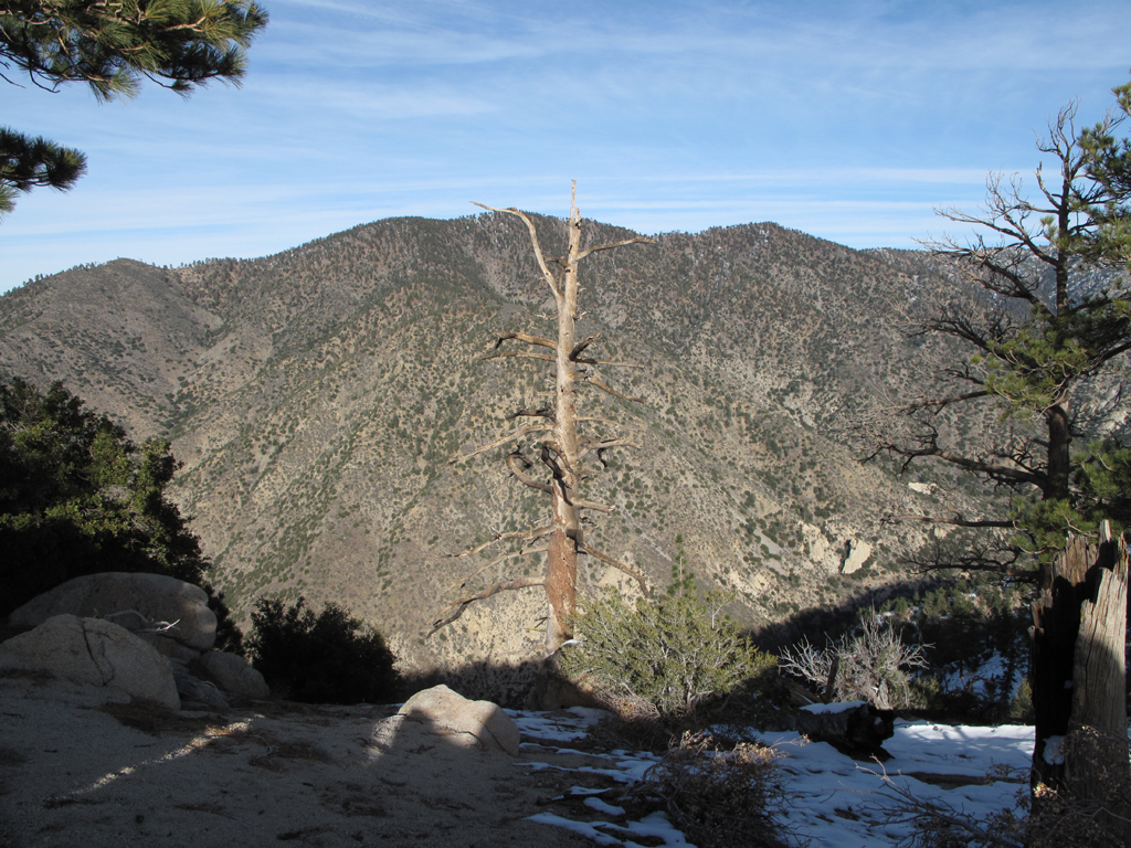
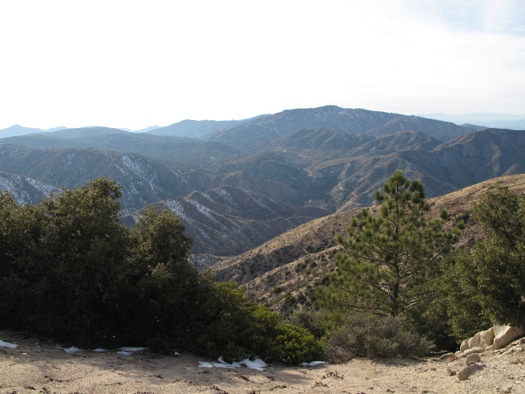
Waterman Mountain summit view west.
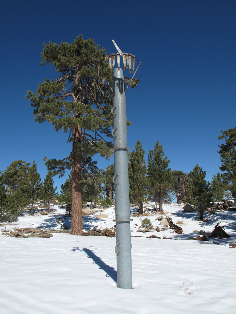
Precipitation gauge on Waterman Mountain.
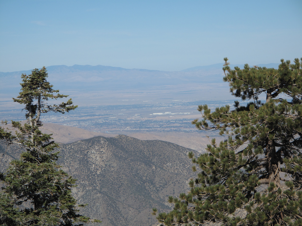
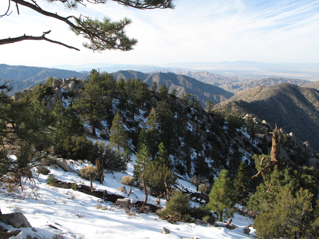
Palmdale & High Desert view from Waterman.
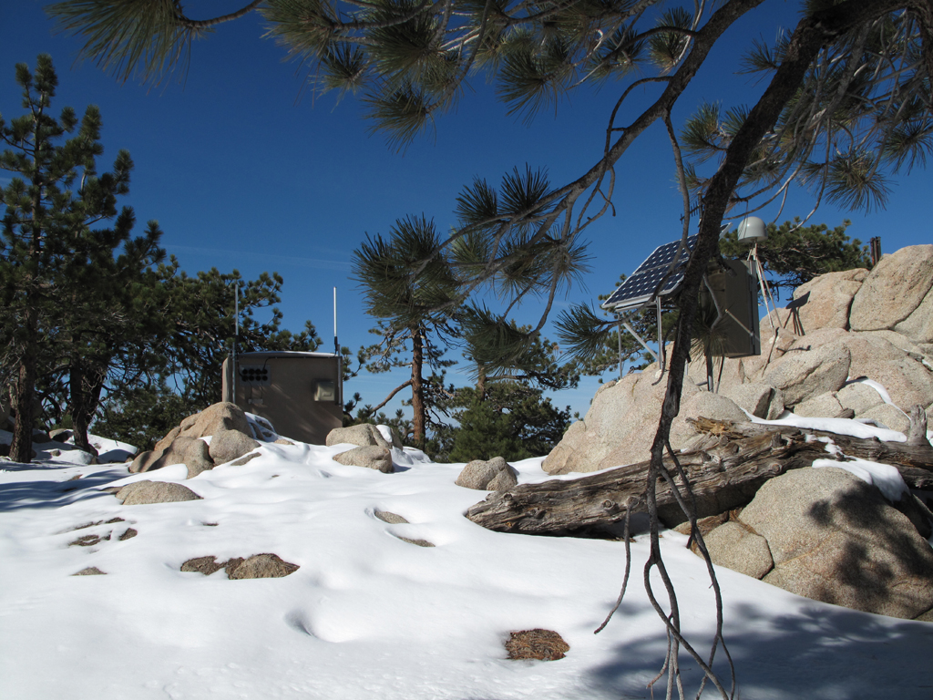
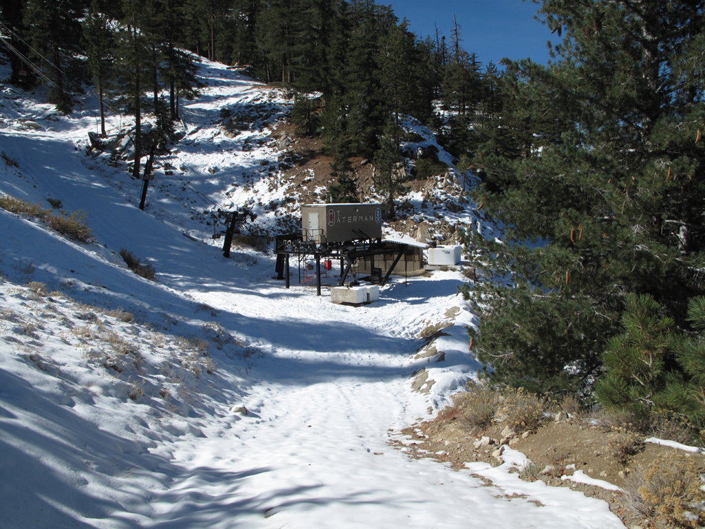
Repeater and GPS station on Waterman Mountain.
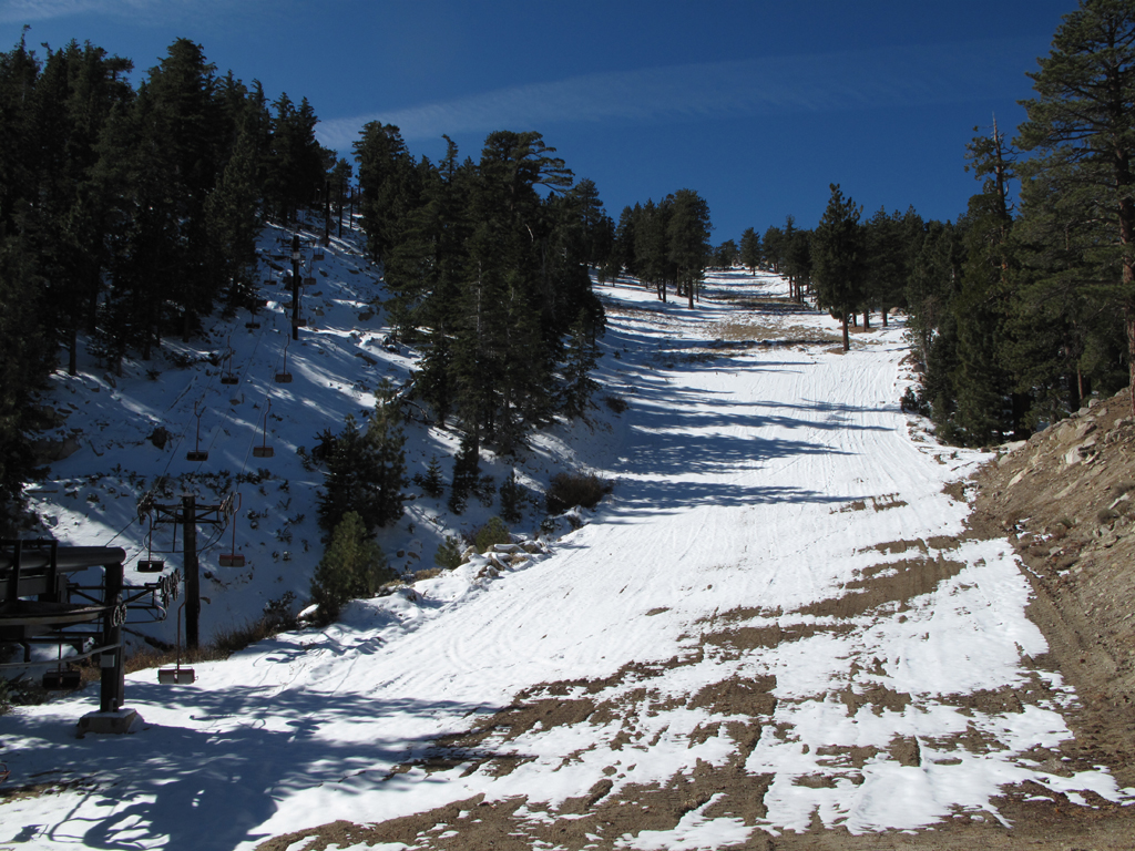
View towards Pallett Mountain from Waterman Ski Area.
Need a little more snow here, I think.
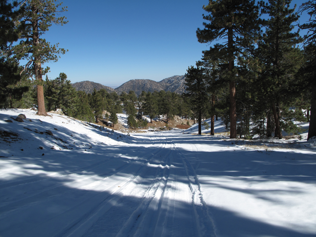
Almost at Angeles Crest Highway...
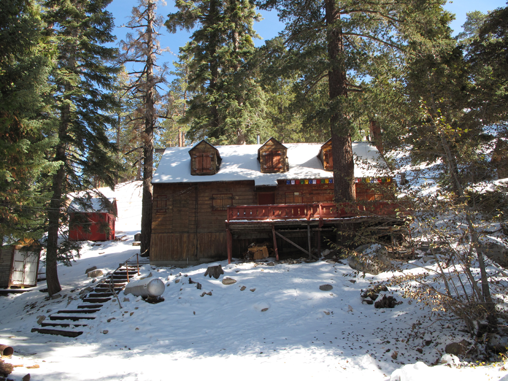
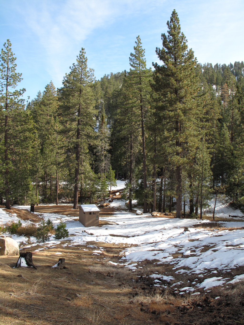
Buckhorn Ski Club lodge buildings.
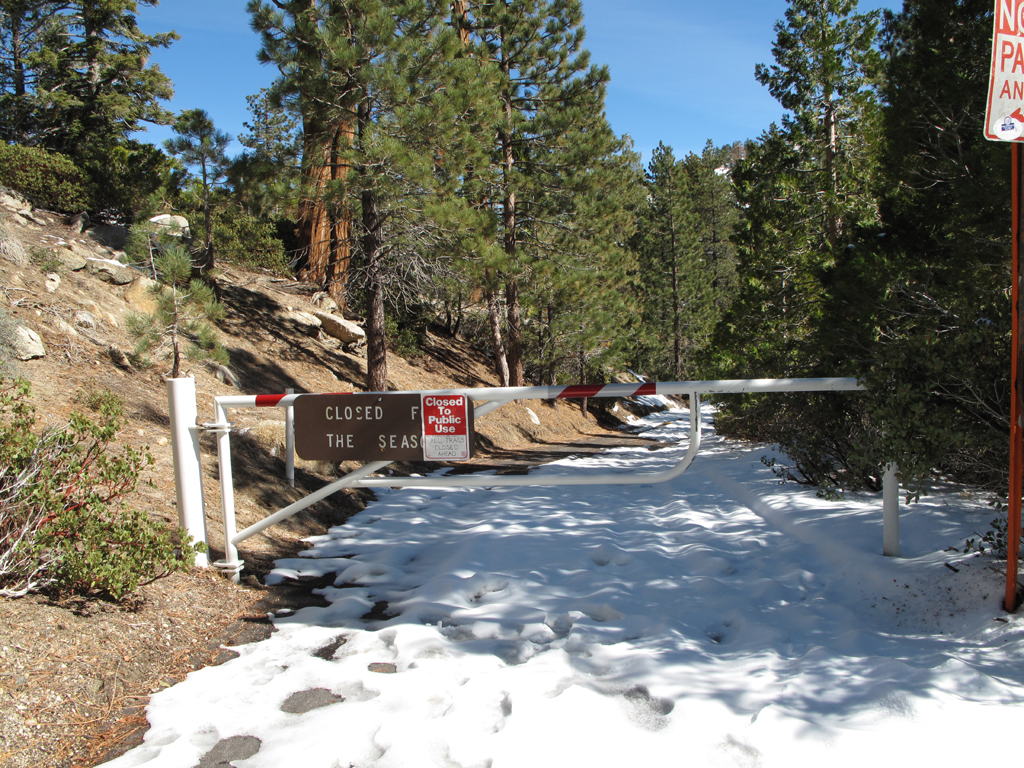
Good thing I wasn't looking for the Seas.
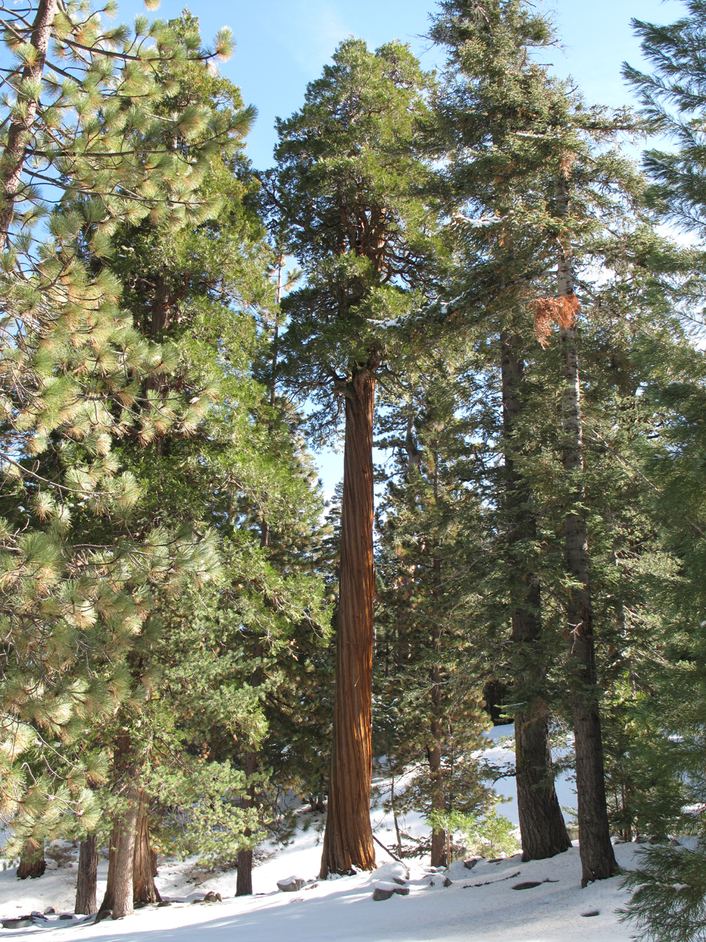
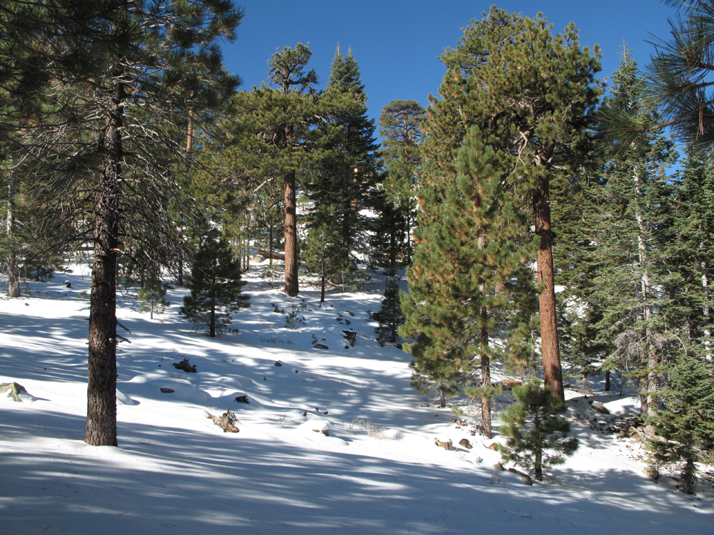
Really pretty Cedar on Buckhorn Campground.
Burkhart trailhead.
Snowy section of Burkhart trail, headed towards Cooper Canyon.
Pacific Crest Trail junction from (closed) Rattlesnake creek segment.
Homo Sapiens shares the trail with Ursus Americanus.
Cooper Canyon Trail Camp.
View down Cooper Canyon.
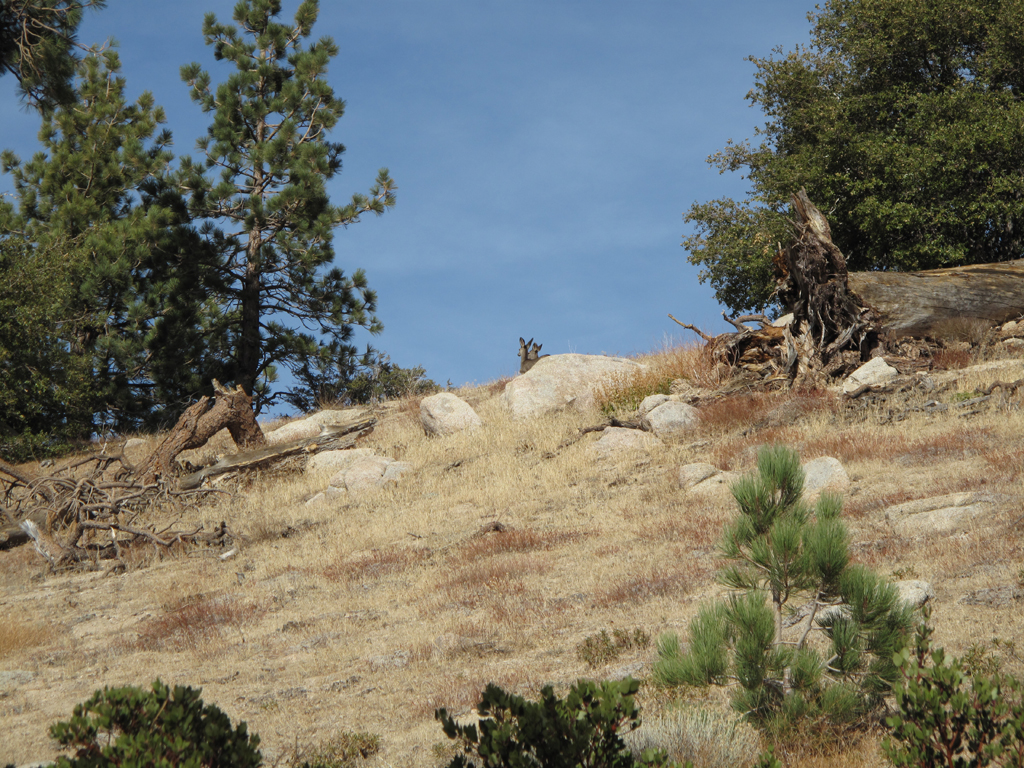
A pair of Odocoileus hemionus who have hopefully made it through 2011 hunting season.
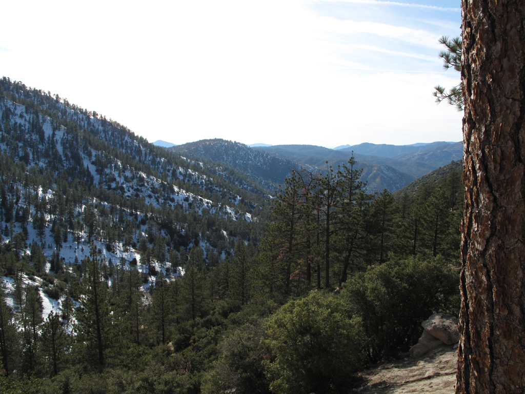
View down Squaw Canyon.
Pleasant View Ridge as seen from Winston Ridge.
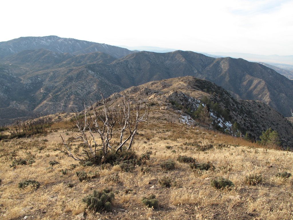
View along Winston Ridge towards Bare Mountain.
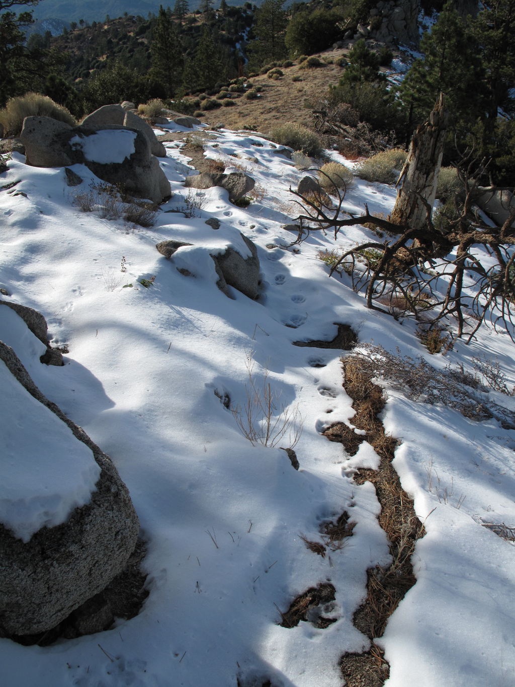
Meow!!
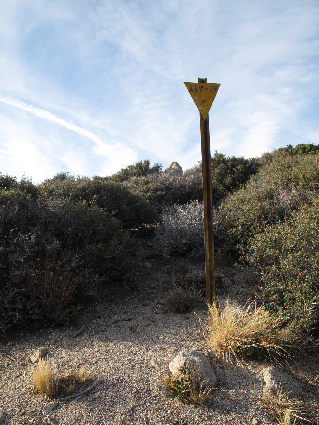
Marker on Winston Ridge.
View onto the burned section of Winston Ridge towards Little Rock Creek Road.
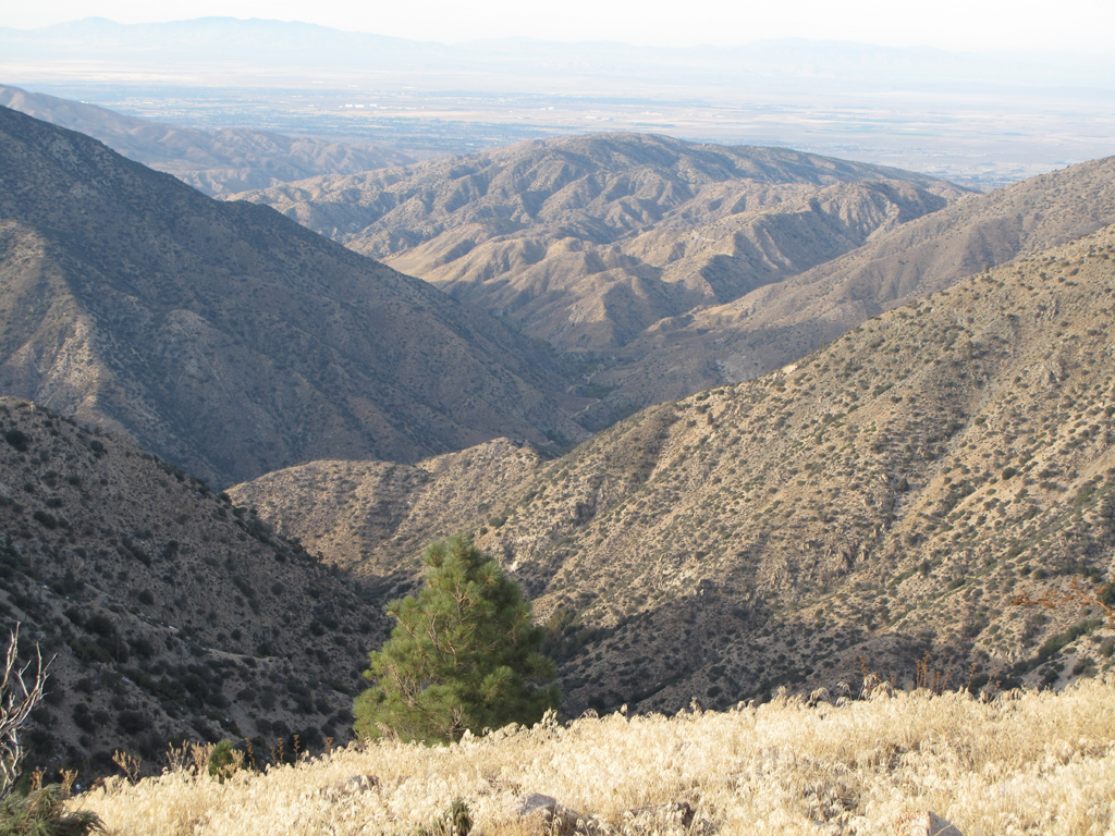
View up Little Rock Creek towards Alimony Ridge.
Turricula, Manazanita, ITCHY!
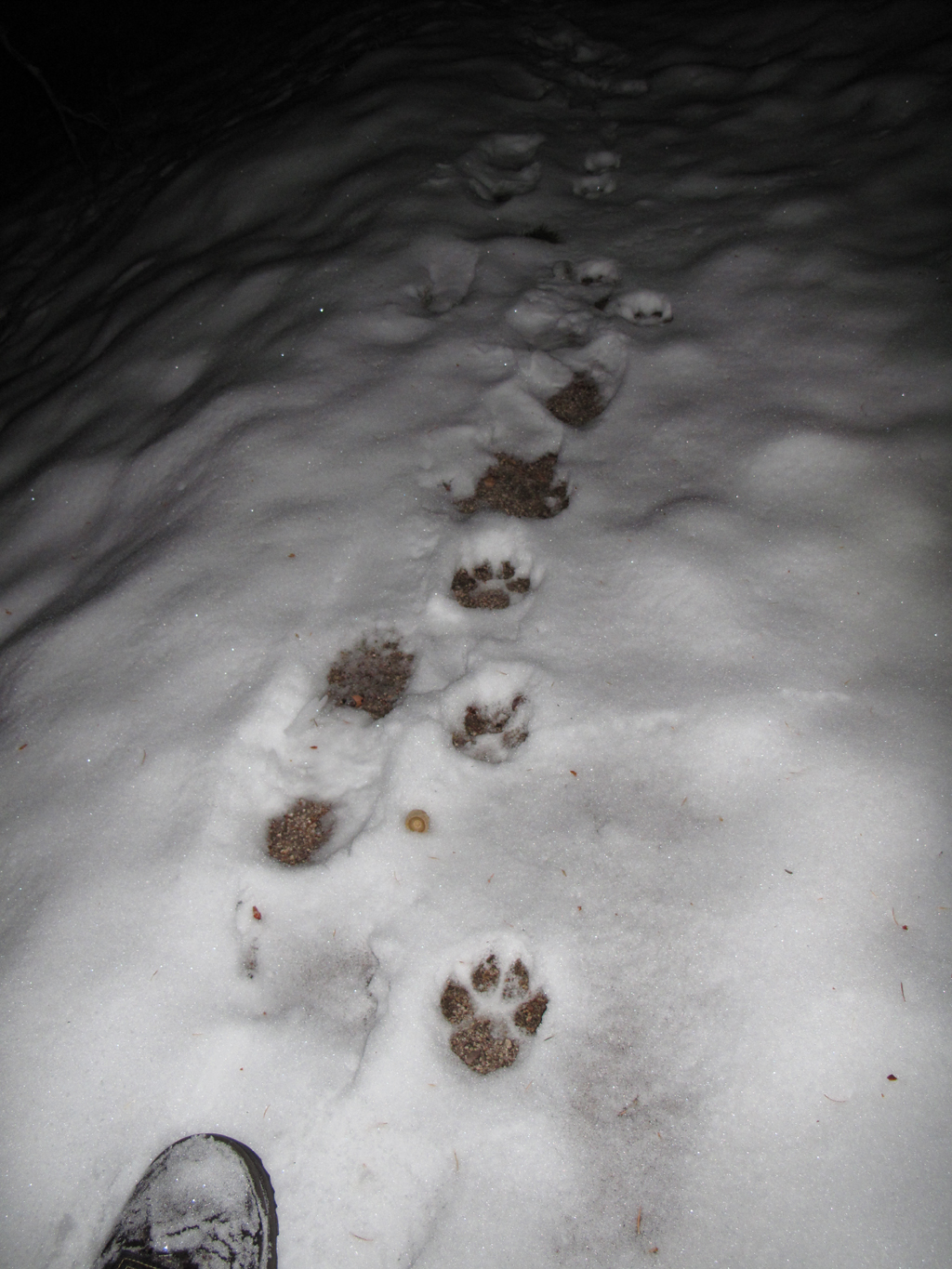
These were unusually distinct, and a LITTLE scary in the dark.
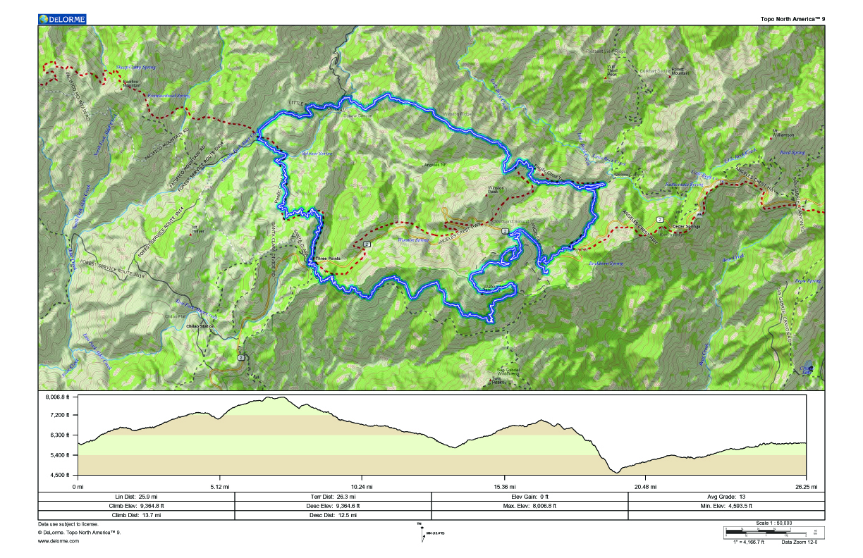
GPS track and elevation plot.


