I woke up yesterday (Labor Day) from a splitting overnight headache and couldn't decide whether to go to work or to go enjoy the San Gabriels. Since this is the SGMDF and not the EDAWF (Elwood's day at work) you might guess which I chose. I had such a great time on Saturday's Islip Saddle - South Fork - Vincent Gap - PCT loop with Turtle. While there, my curiosity was piqued by the Big Cienega / Islip Ridge trail marker atop Mount Islip. I refreshed my day pack and headed for Crystal Lake. It was raining in town as I drove the Foothill Freeway to Azusa. As one could imagine, most of the recreation areas along San Gabriel Canyon road were crowded with folks enjoying the holiday weekend. This and the rain, made the drive up-canyon a tad tedious. I parked the absurdly huge Borrego rental (Jeep's in the shop having been badly rear-ended several weeks ago) in the lot adjacent to the visitor's center. The open sections of Crystal Lake campground were pretty crowded. Soon I was walking through the much quieter closed areas, destined for the Windy Gap/Big Cienega/ et al. trailhead. I spotted a few
odocoileus hemionus strolling about the Big Cienega. They appeared to be mulling over the opening of general hunting season on October 8th. The Islip Ridge trail was a new one to me. I really enjoyed this route across southeast face of Mt. Islip and along its ridge. There were several deadfalls across the trail, all safely passable. The morning's intermittent weather kept things pleasantly cool during what would otherwise have been a toasty ascent. I relaxed on Islip for a bit, enjoying some dried fruit from the Somis Nut House, and a Clif Bar. I next headed for the Hawkins Ridge Trail, arriving there around 1235. I'd parked the car and hit the trail around 0847. I briefly considered tagging Mt. Hawkins, but didn't want to risk my NHPS status. I mostly avoided the Hawkins trail, following the ridge to the saddle preceding South Hawkins. After a brief rest in a shady spot north of the lookout tower remains, I headed down 3N07, greeting another hiker who was relaxing near the old foundation. I couldn't resist a little recon down the southeast ridge, looking for that route to Rattlesnake Peak. After quickly trudging down the several miles of dirt road, I was back at Crystal Lake C.G.. I passed some 'yoot' headed up the brushy trail (smoking!), then strolled around the edges of C.L. and spotted a few more Mule Deer. Around 1645 I was back on the bridge of the land yacht headed home.
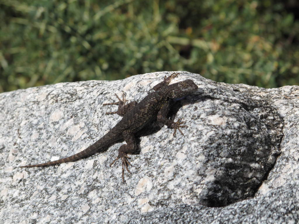
It was a great day for lizard watching.
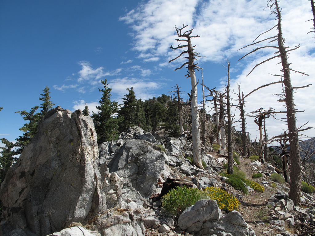
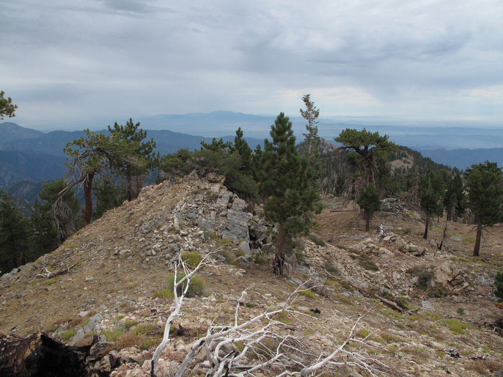
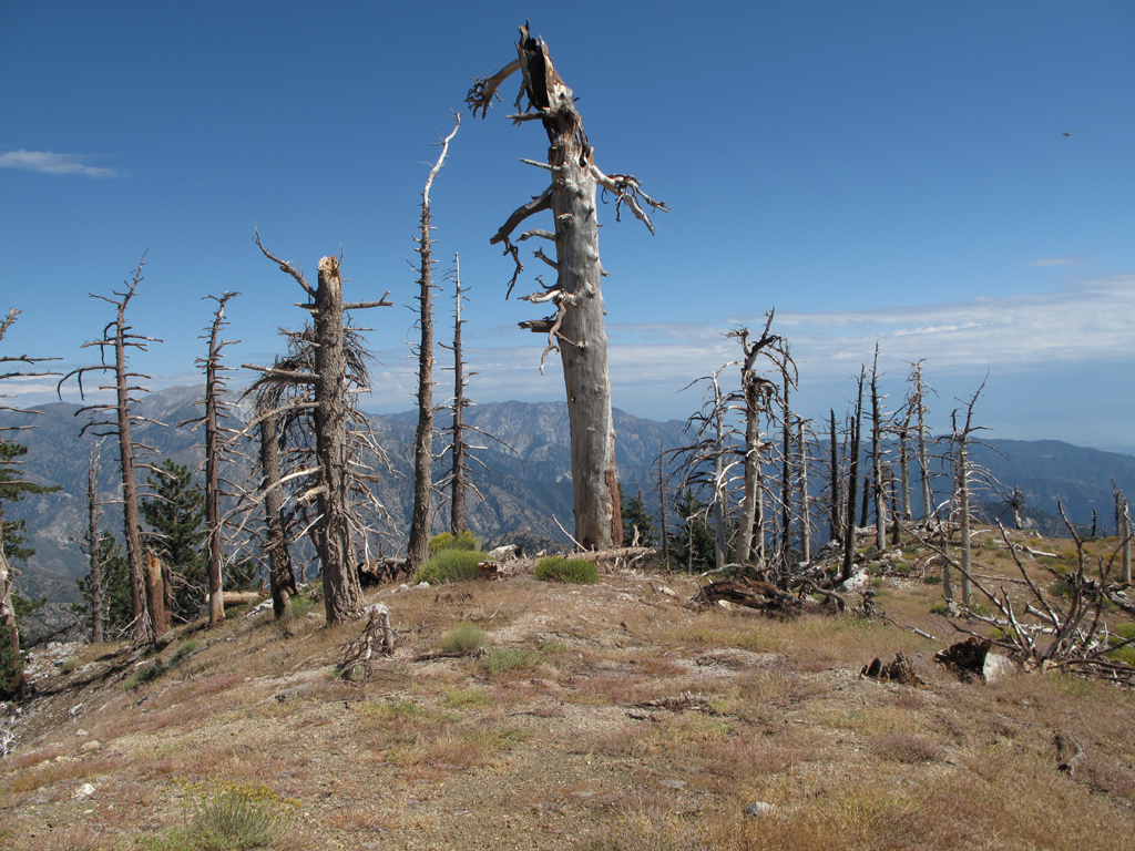
Looking down the Mount Islip ridge.
Triplet rocks and Mount Wilson.
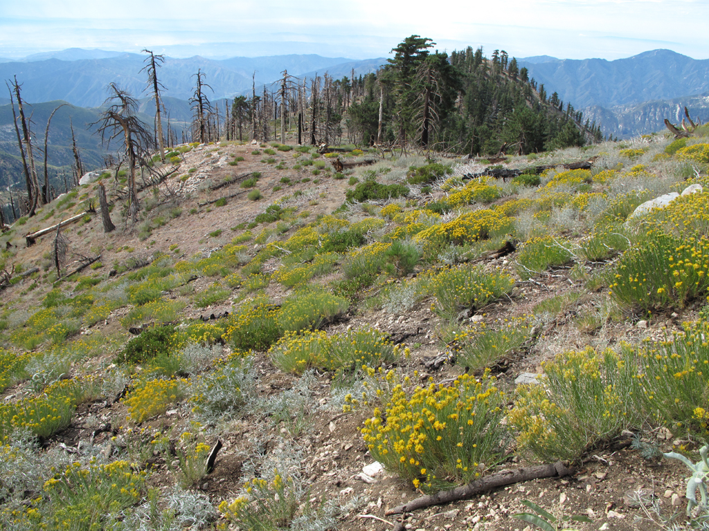
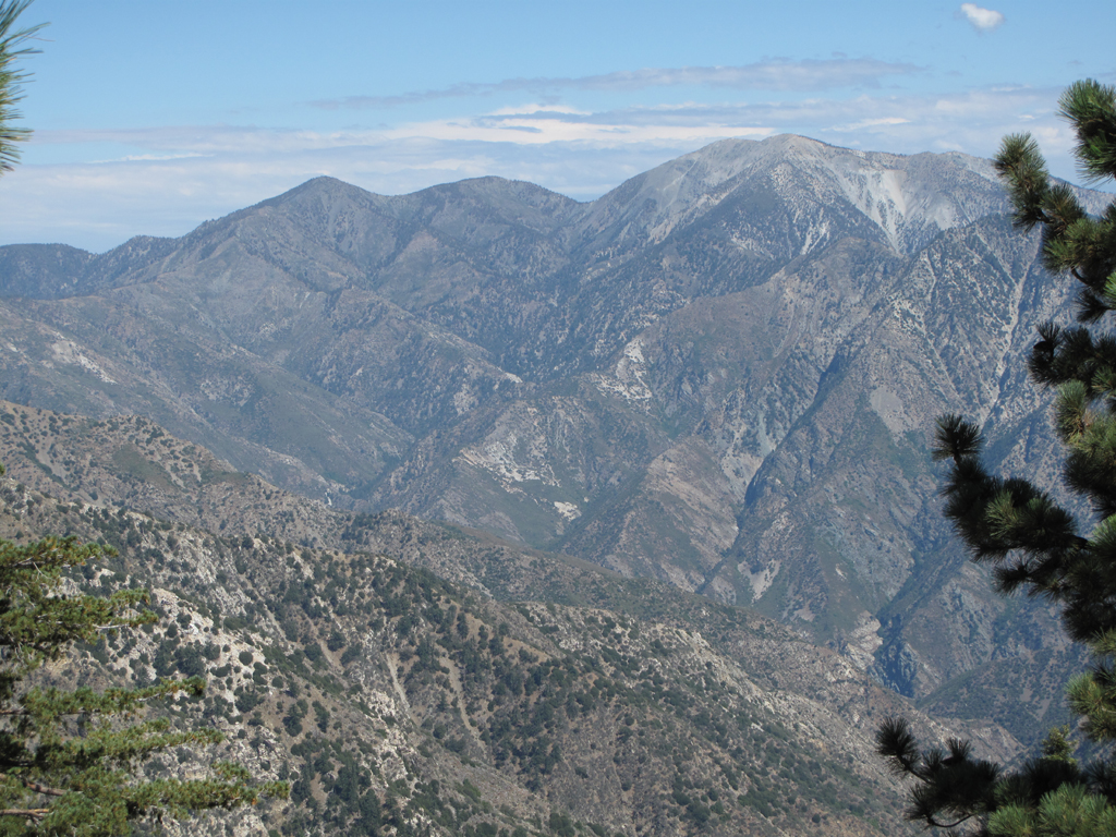
Looking up the Mount Islip ridge, towards the summit.
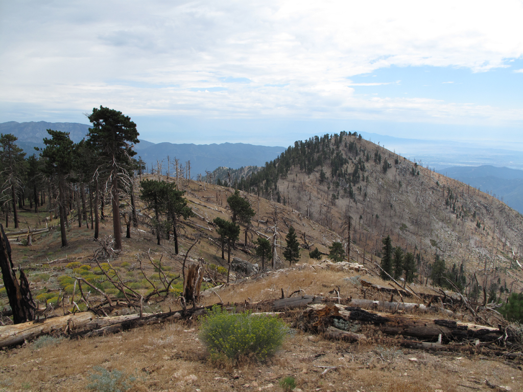
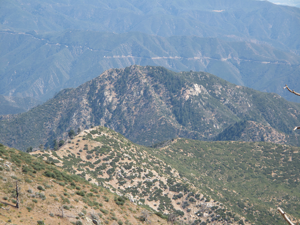
Gazing across the Hawkins ridge, from Middle.
View towards South Hawkins from the ridge.
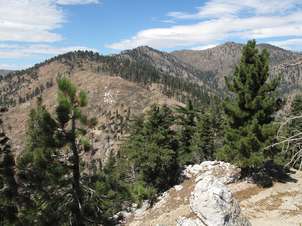
View back up Hawkins ridge towards Mount Hawkins.

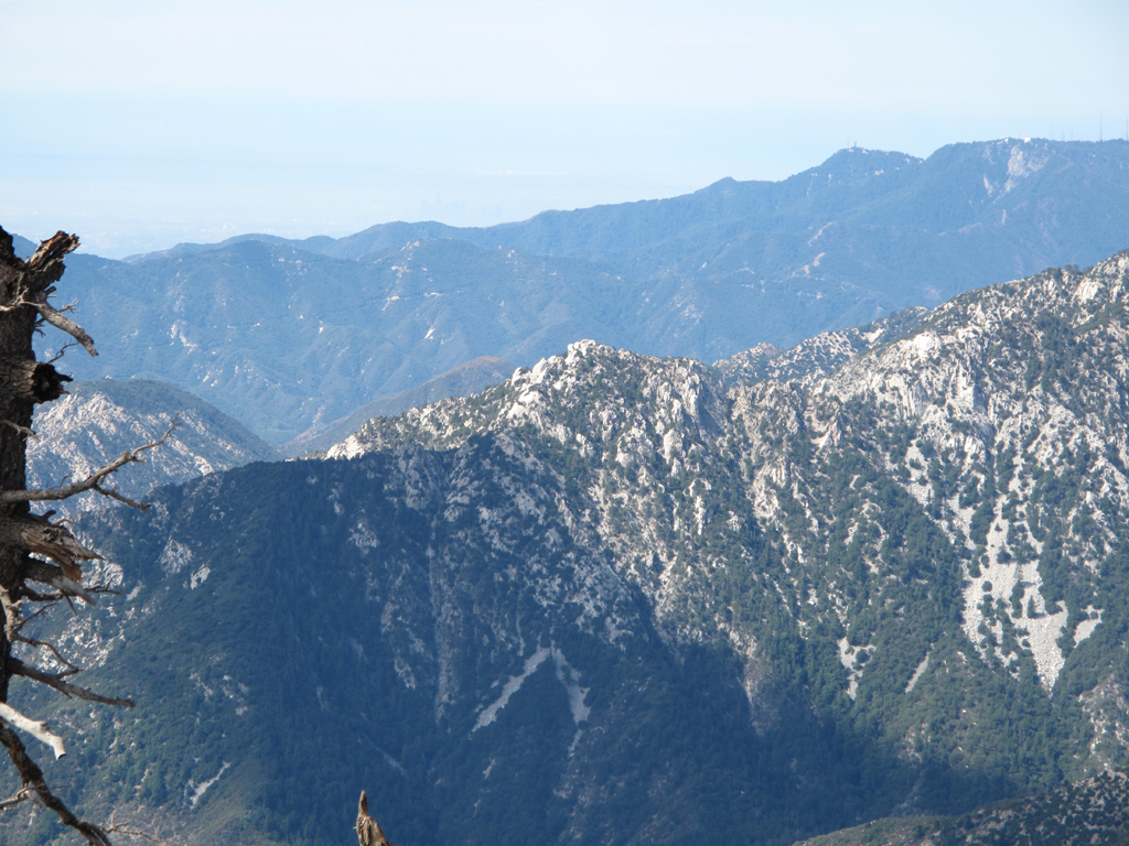
Hazy view of Iron Mountain's features visible from Mount Hawkins.
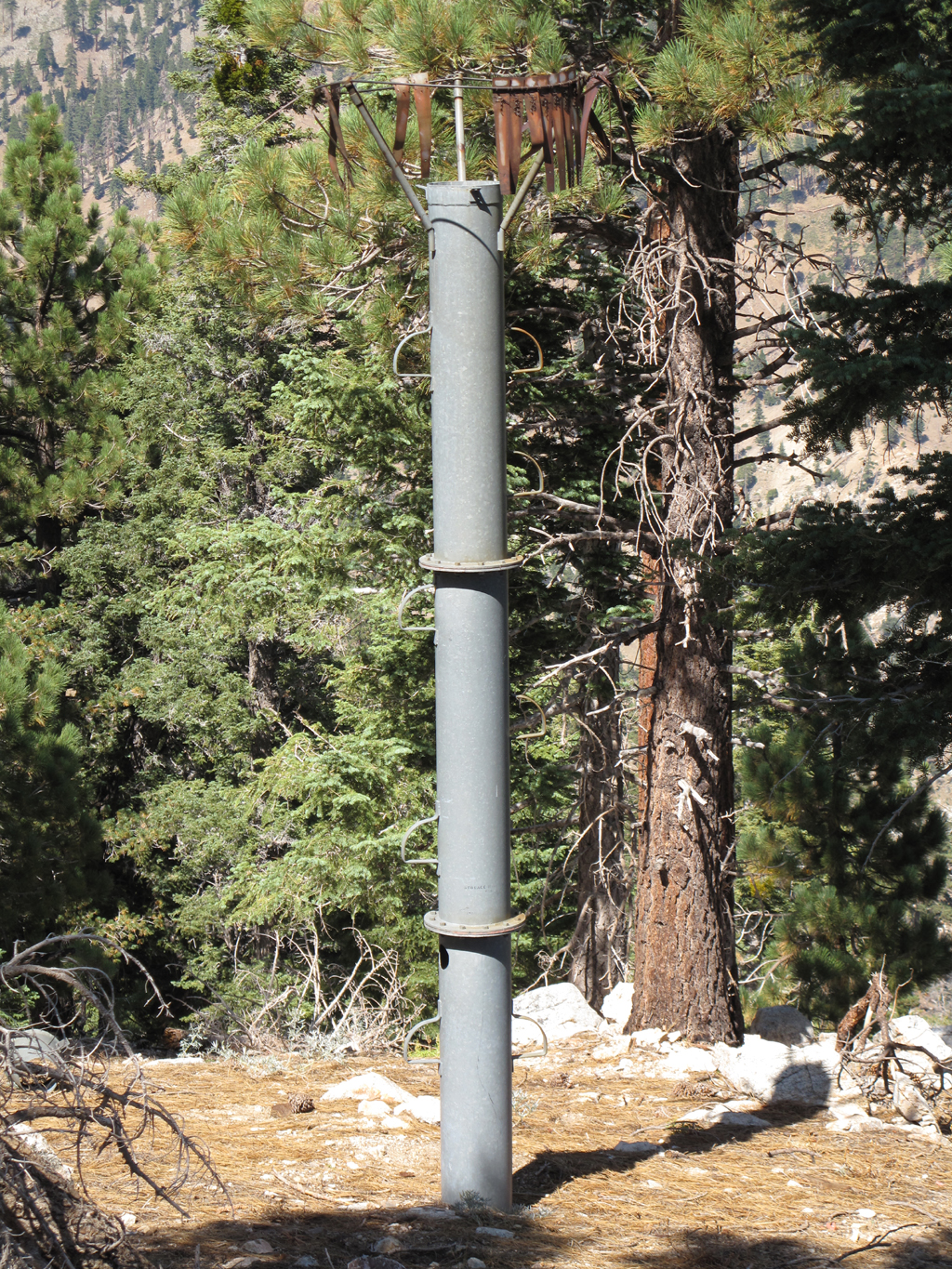
Precipitation gauge on South Hawkins.
Hazy view of Pine, Dawson, San Antonio, Iron and their west drainages.
Top of the ridge from South Hawkins towards Rattlesnake Peak.
Scouting the route from Hawkins to Rattlesnake.
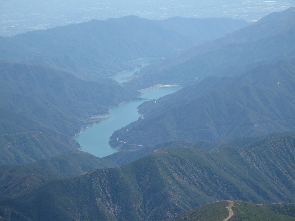
Lots of water in San Gabriel and Morris reservoirs for late summer.
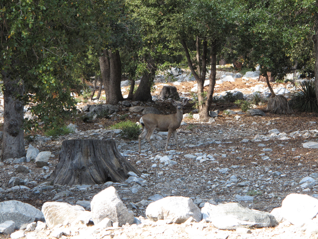
Mule Deer frolicking about Crystal Lake campground.
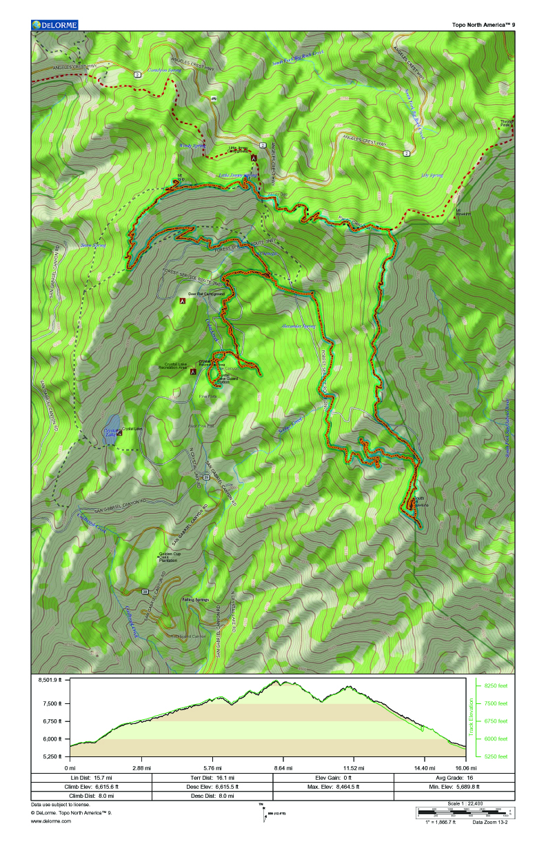
GPS track and elevation plot.


