
Trip Report:
7/24/11
I arrived at the city of Mt. Shasta after 12 hours on the I-5. The mountain had over 150% of average snowfall and snow conditions were like the middle of May. The temperature at the city was 94 degrees, while it was around 5 degrees at the summit.
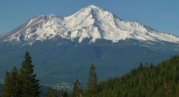
Mt. Shasta viewed from the short drive up Castle Lake Rd
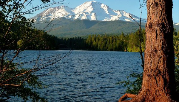
Lake Siskiyou right before sunset
7/25/11
I was staying in the city of Weed the previous night and woke up to find mostly sunny skies with 20mph winds. The drive to the trailhead took about 30 minutes. I was surprised to see that at 7,900 ft, the snow was still much higher than the cars. At the trailhead, I filled out a permit, paid the $20 for it, and was off trudging through the snow.
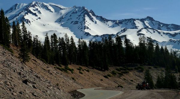
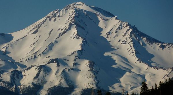
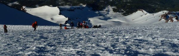
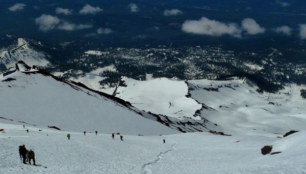
The mountain seen from about 1 mile below the trailhead
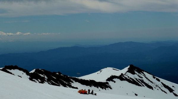
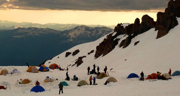
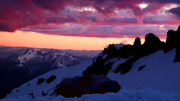
A group setting up camp at 9,300 ft

I arrived at camp Helen Lake (10,400 ft) at noon. There were about 25 tents in the camp. Usually its more crowded at this time of year, but snow conditions hindered many climbers.
I was planning on summiting the first day and than glissading back to camp, but saw that storm clouds starting to build. The forecast for the day was only a 20% chance of thunderstorms so I decided to go for it after lunch.
This is taken at about an hour after I left camp. The sky was getting worse with each passing minute and I was debating whether or not to turn back.
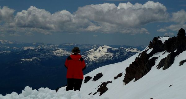
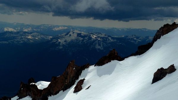
View towards the Trinity Alps, located about 40 miles away

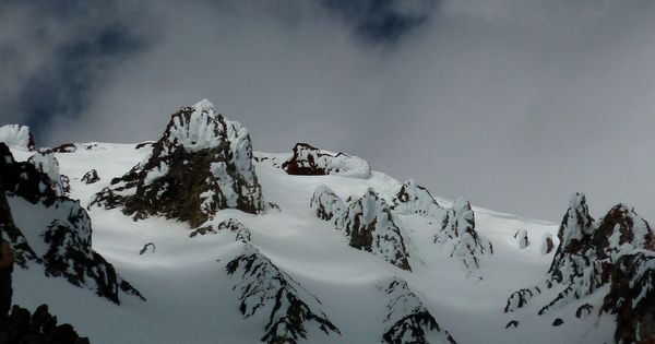
The clouds were randomly clearing and darkening and I had no idea if the weather was getting better or worse. I was at an elevation of 12,500 ft which is not that far from the summit and decided to stay put and see if the clouds would move. I passed the time by digging a snow cave and playing with random features on my camera.

I had stayed at that spot for a long time not realizing time was passing so fast. I was jerked to my senses when it started hailing heavily and decided to go down. In the 2 hours I there, a sheet of clouds had lowered themselves to the point where they had completely engulfed the mountain above 13,000 feet, and was still descending fast! I hastily packed everything as fast as I could in order to beat the cloud wall down to camp. While I was putting the last object (the sunglasses) into the bag for the trip down, there were 2 ladies glissading down the mountain at top speed who looked frightened. They told me that there was a total whiteout above 13,000ft, and they had already nearly died more than once up there.
I gone down to about 11,000 ft, and reached for the camera to take a picture, and suddenly had the OHhhhhhhhh noooooooooooooooo feeling. In my haste to get down the mountain, I had left the camera in the snow cave back at 12,500 ft. I checked the time and it was 6:30pm, which was 2.5 hours before dark (because of Mt. Shasta's height and location, sunset is at about 9pm). Deciding to go get the camera, I turned around and climbed up at full speed. When I did reach the snow cave, the area was already in a whiteout and visibility was about 10 ft and getting worse. The area was pretty easy to locate though. I just had to follow the glissade path up and check the GPS every few minutes. The camera was surprisingly still in full working condition. The strangest thing up there was that it was hailing like crazy, there was barely any visibility, and yet the wind was at 0mph the whole way up.
After that it was an easy glissade to camp that took about 20 minutes to get down 2,100 ft of elevation. Surprisingly, it wasn't hailing at camp. What I had just experienced in the last few hours was probably one of the most epic and exciting moments in all my hiking experiences.
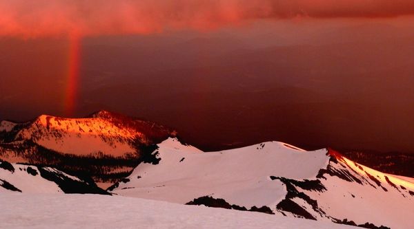
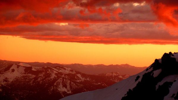
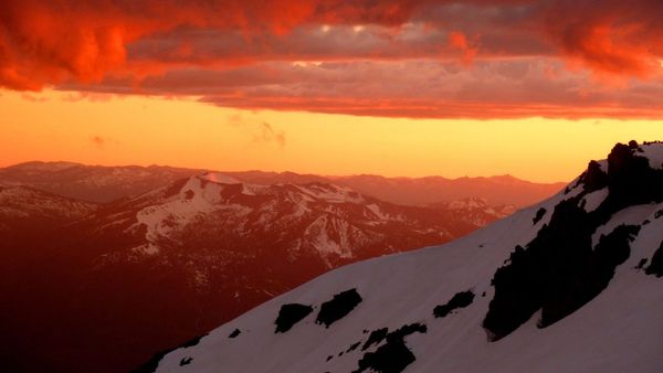
After dinner, right when the sun was setting, the clouds opened up and there was one of the most amazing sunsets I ever saw. A few minutes after the clouds broke, nearly the ENTIRE camp was out looking at the sunset or taking pictures. Some were evenly randomly screaming into tents where others were sleeping to come out and see it. Groups of hikers were gathering in front of the sunset to have their picture taken.
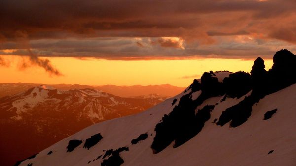
In the north, the surrounding mountains and valleys were thickly illuminated by the sun reflecting off storm clouds. To the west, the sun cast an apendaglow on the mountains with a rainbow extending from the clouds.
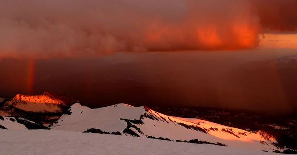
In all the hundreds of trip reports I have seen of Mt. Shasta, I have never seen a sunset like this!

I woke up later that night and saw there wasnt a single cloud in the sky. Because the precipitation had cleaned up the air, and the elevation was above 10,000 ft, you could see the entire band of the milky way very clearly.
6/26/11
I woke up at 4:00am and started to hike at 4:30. The route was very icy, so crampons and ice axe were needed.
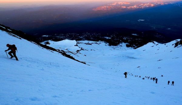
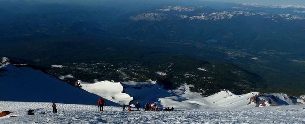
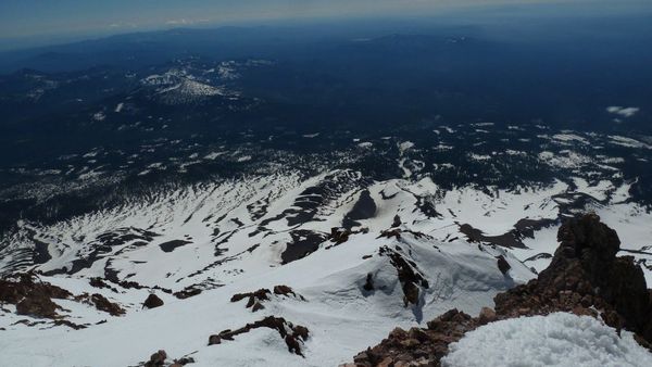
The view from 11,500 ft

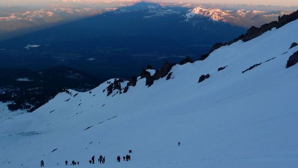

Panorama at 12,000 ft
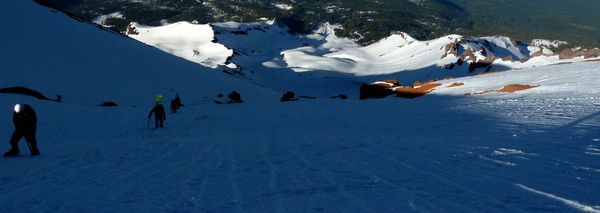
Panorama at 12,500 ft

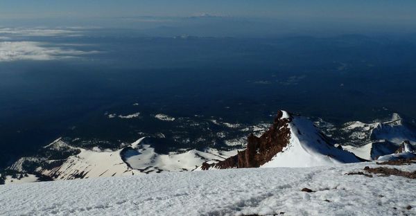
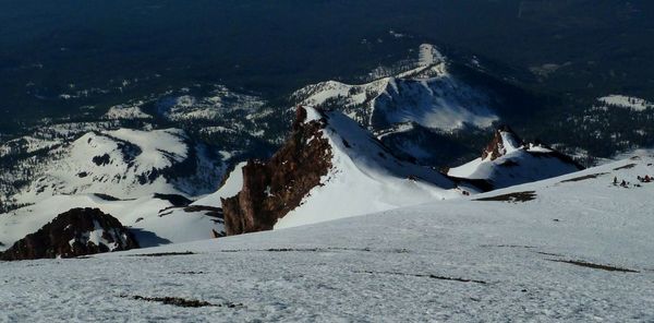
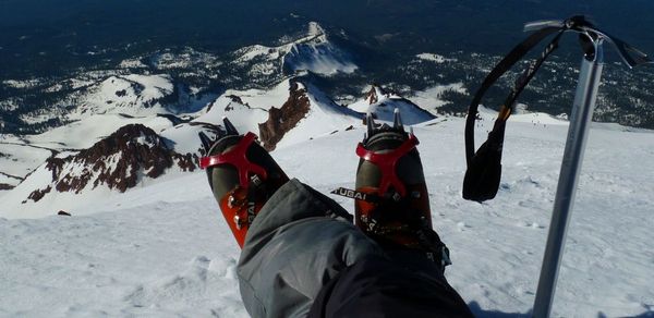
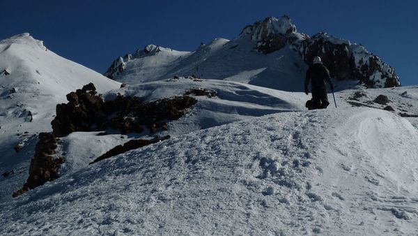
This is thumb rock, located just under 13,000 ft. It can be seen from distances as far as 80 miles away!
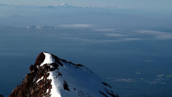
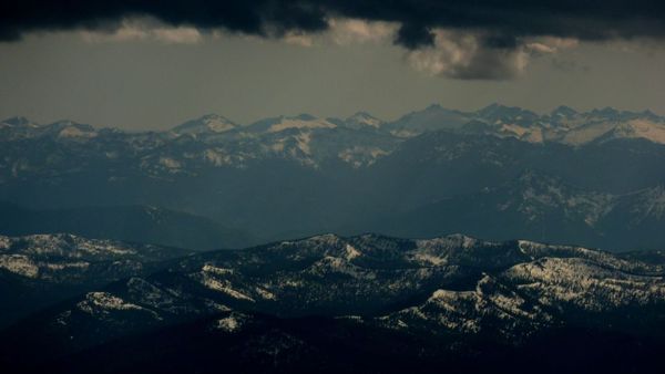
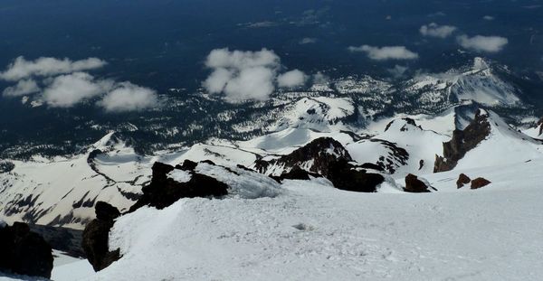
The peak in the distance is Mt. Lassen
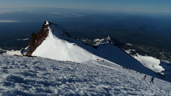
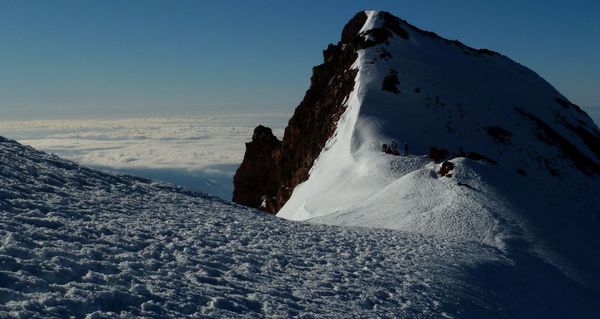
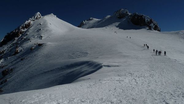
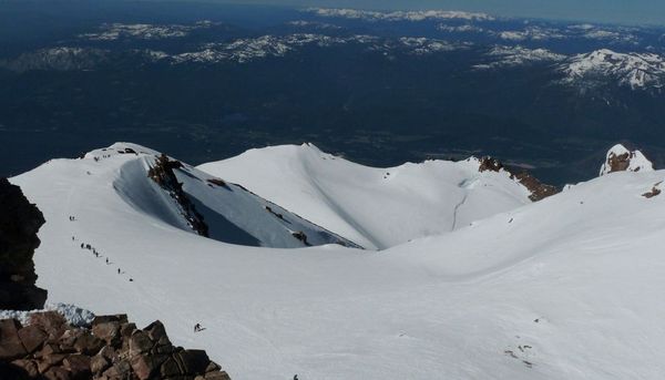
This is Misery Hill, seen at just above 13,000 ft. This is also where many climbers call quits because they cant stand the elevation anymore.

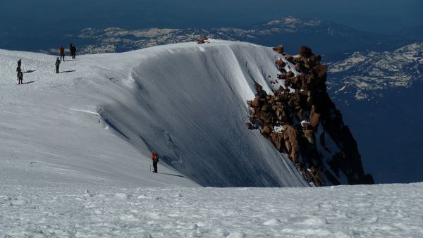
Looking towards the Whitney Glacier, seen from a quarter way up Misery Hill
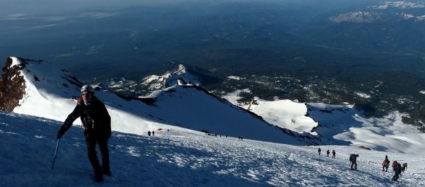
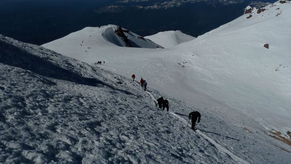
Halfway up the hill
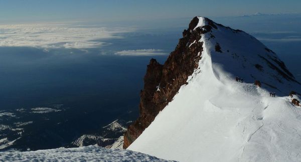
View from the top of Misery Hill
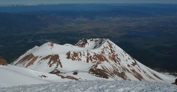
Mt. Shastina

Its a few days before July and it looks like Alaska down here in California!
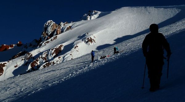
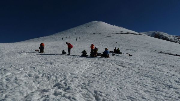
The summit pinnacle, the last push to go.
This flat area at 13,800ft is commonly know as the summit plateau. Last year two people hiked up in March and had to spend the night because of 100mph+ winds. One died of edema and the other was forced to descend in blizzard conditions with 90mph winds. Read his trip report: http://www.summitpost.org/against-all-h ... sta/626323
I feel a little nervous for that guy standing near the edge

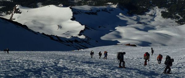
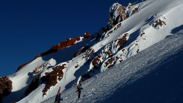
A staggering row of climbers struggle to walk up the summit pinnacle


Summit Time!!!
The conditions on the summit were pretty favorable. 25 degrees with 30mph winds
On the upper right is the top of the largest glacier in California, the Whitney Glacier.
I stayed up on the summit for about 30 minutes before descending
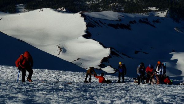
back at 13,000 ft

Back at camp, it was starting to cloud up again and look like another storm was headed there. I decided to head down a day early.


