With valley temperatures forecast for triple digits, I wanted to hike somewhere cool. Last time I was in the Bernardinos, it was for the 9-peak extravaganza with Turtle and Hvydrt. SGWA trail conditions still cited deep snow beyond the saddles. Contemporary online imagery only showed remnants in the predictable places. I brought crampons (in July!) just in case. I was ecstatic to receive the faxed permit from Mill Creek on Thursday afternoon, granting me my first choice in trailheads. Forsee would've been a fine alternative. It took just over two hours to drive from Simi Valley to the South Fork trailhead. I was on foot at 0642 PDT. A few folks were headed down while I trudged up to Dollar Lake Saddle. I leapfrogged a group of four young men from South Fork Meadows up to the summit. There was no relevant snow on the trail to San Gorgonio Mountain (1W07.2). There was a nasty large snow field on Sky High (1W07.3), south-facing above the Tarn. I opted to carefully step between melty depressions (wells ?) rather than stop to put on crampons. There were probably another dozen more easily negotiated snow crossings between here and Mine Shaft Saddle. One of the highlights of my day was running into Lilbitmo and Jeff as I neared that saddle. I may not be much for conversation, but I
really enjoy running into SGMDFers on trail. Thermometer read 62 F on the summit; mission accomplished.
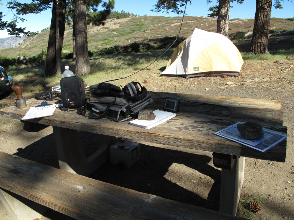
Last Saturday was the annual ARRL field day. This is my setup at Guffy. I slingshot an 80 foot wire antenna into the trees and made contact with the four corners of the USA.
Nice place to stop for a rest and some snacks.
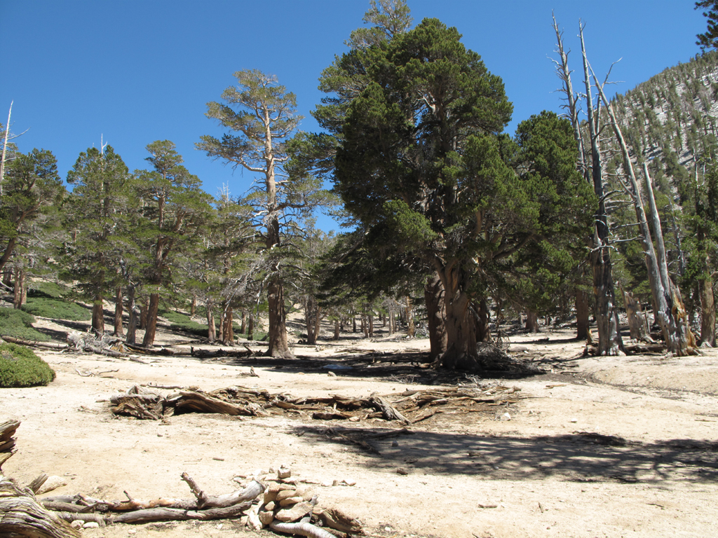
Pretty pine on 1W07.2 on Jepson Peak.
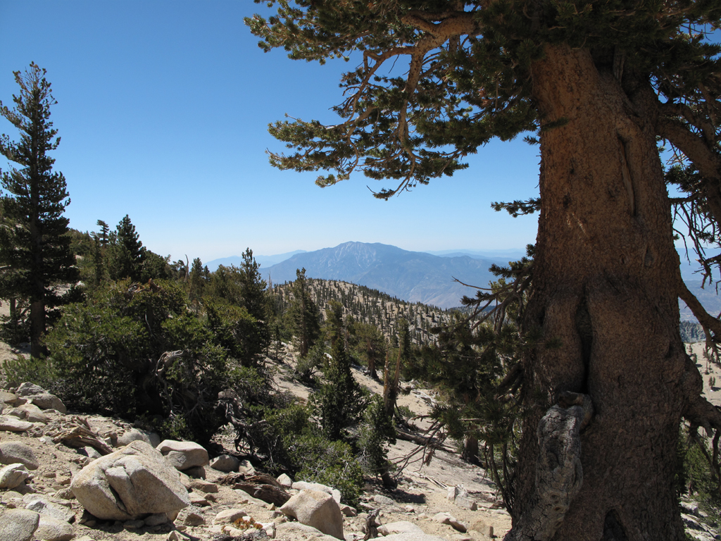
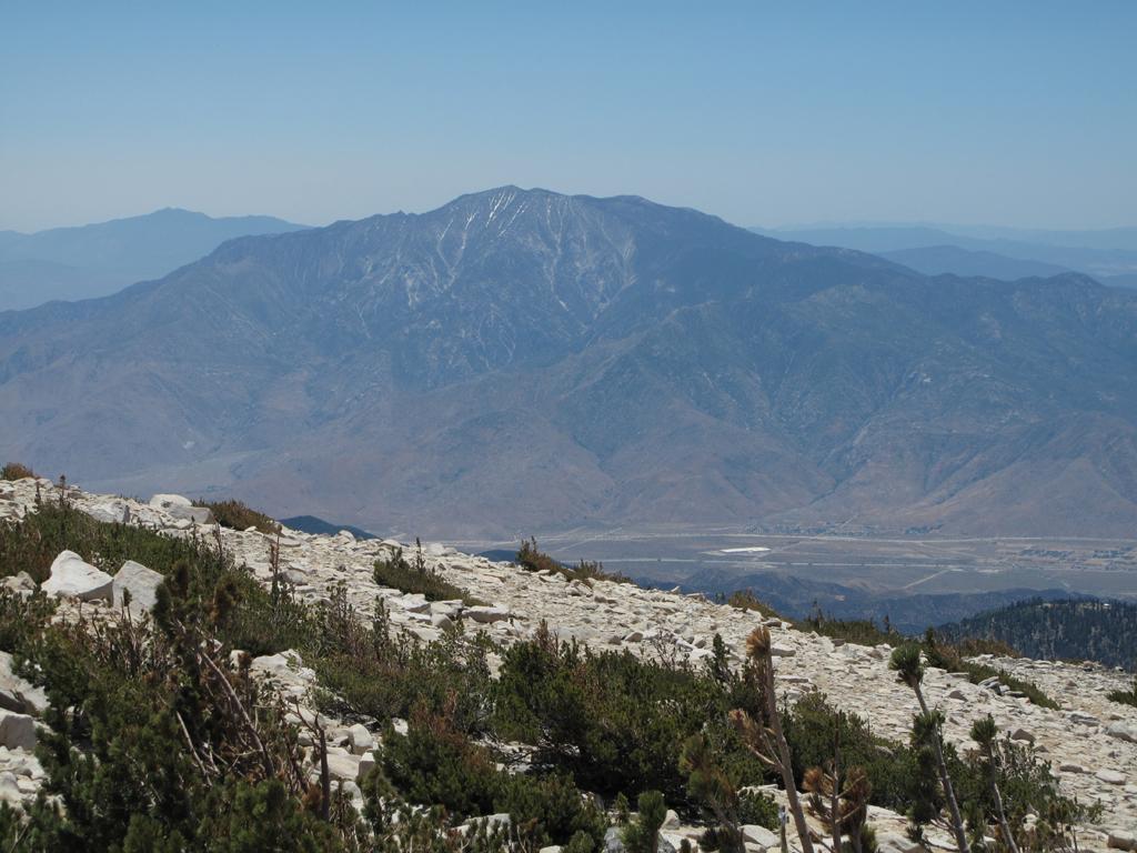
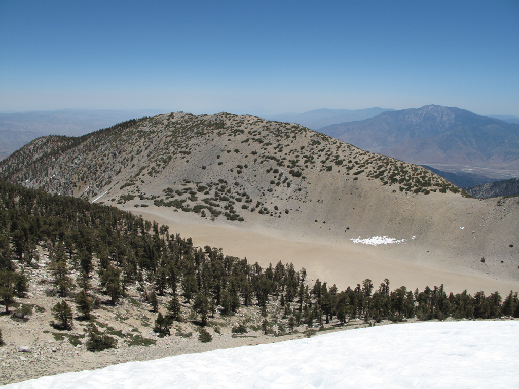
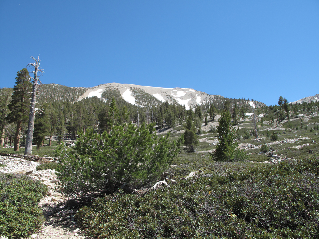
Looking towards San Jacinto Peak from 1W07.2.
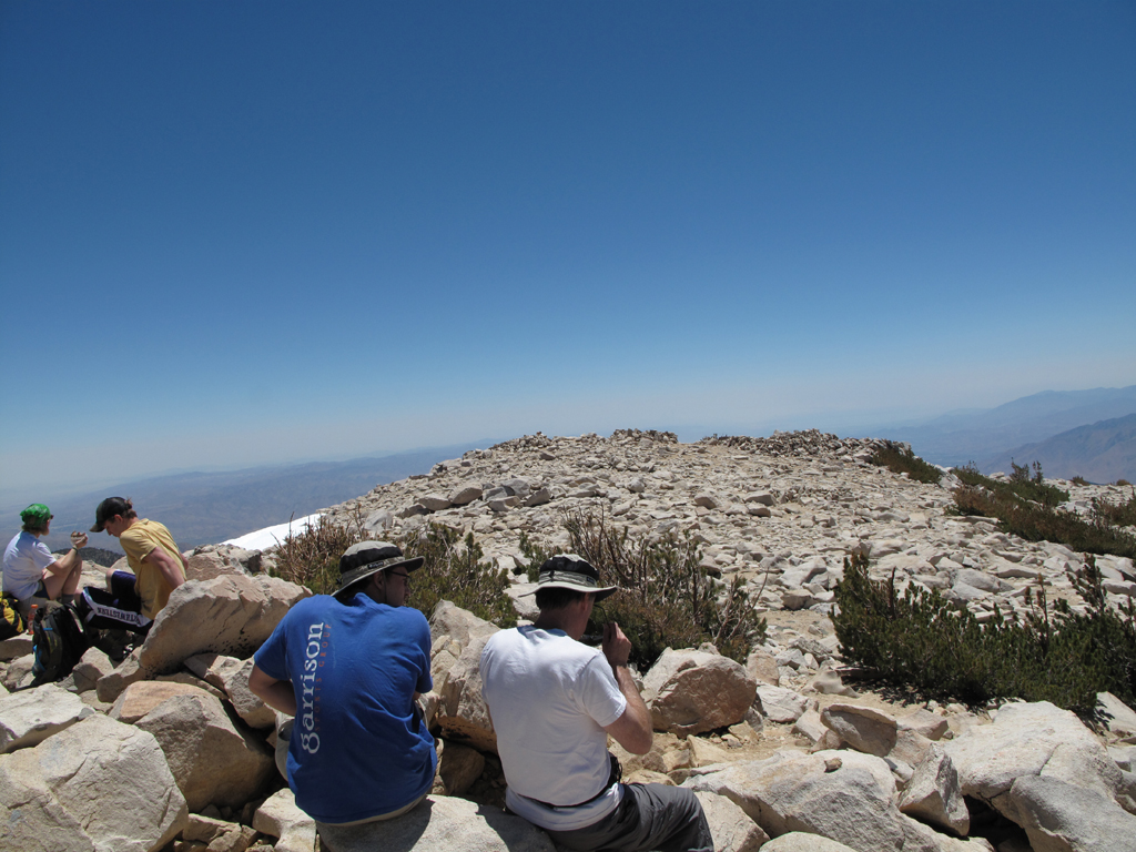
There were around a dozen folks scattered about San Gorgonio's summit.
A little warm for Cactus to Clouds, but San Jacinto's on my list for soon.
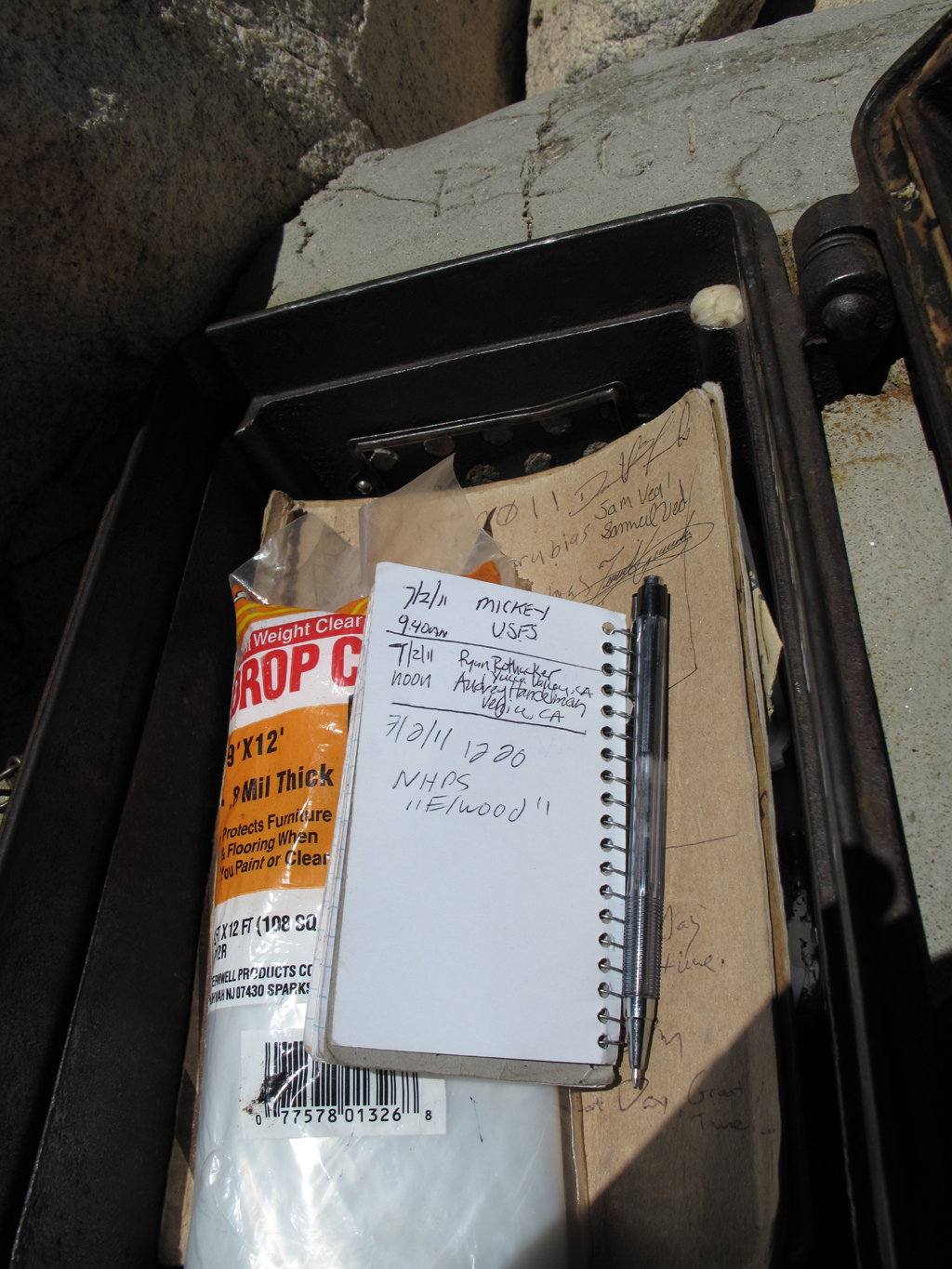
Summit register in summit treasure chest.
View towards Big Bear Lake from San Gorgonio's summit.
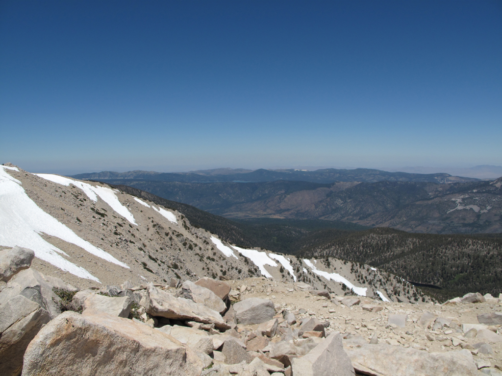
The Tarn from the annoying Sky High snow field.
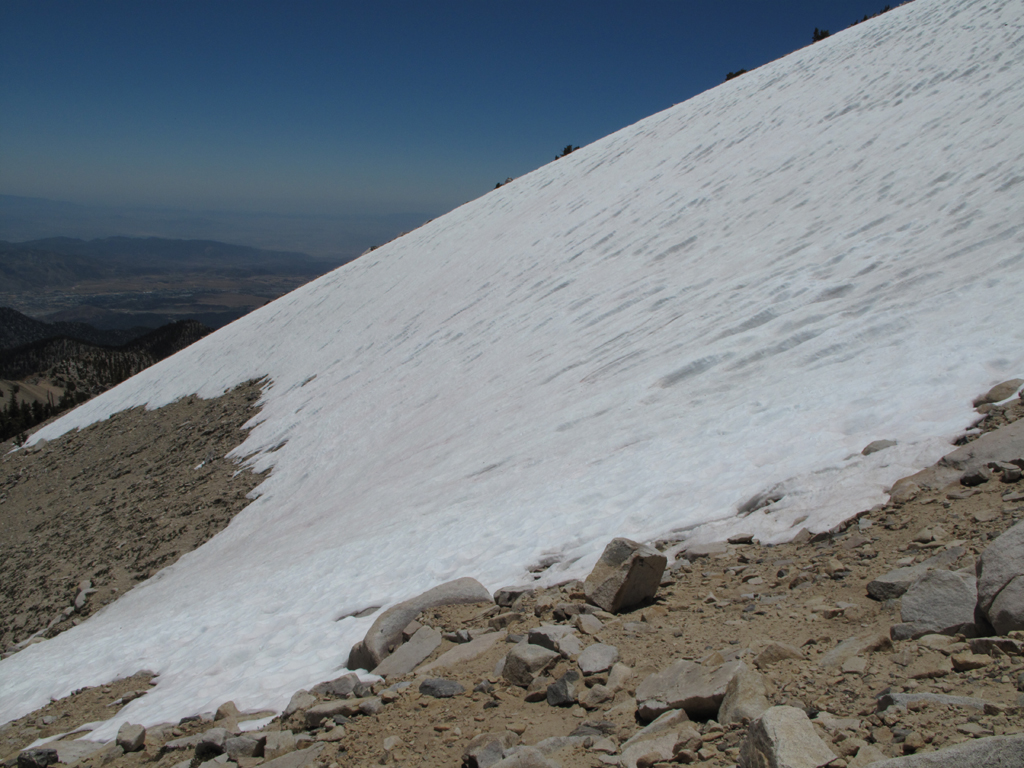
The Sky High Trail south-facing snow field.
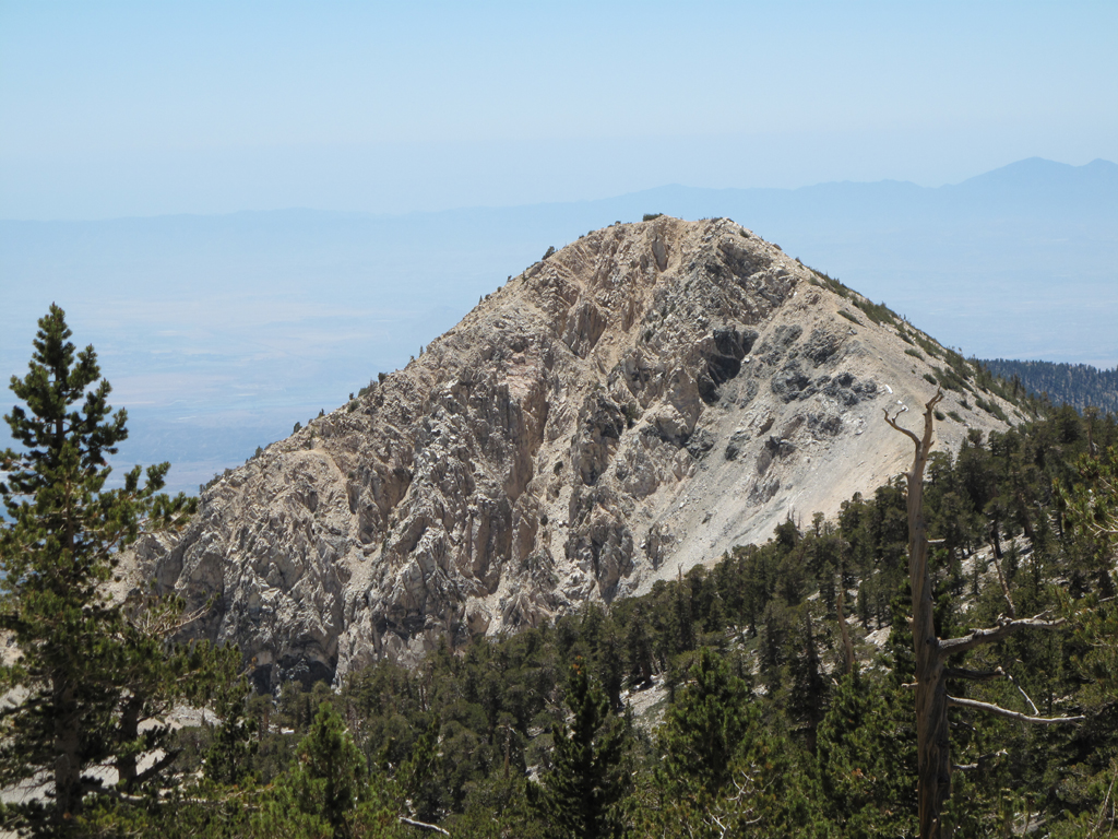
Dragon's Head.
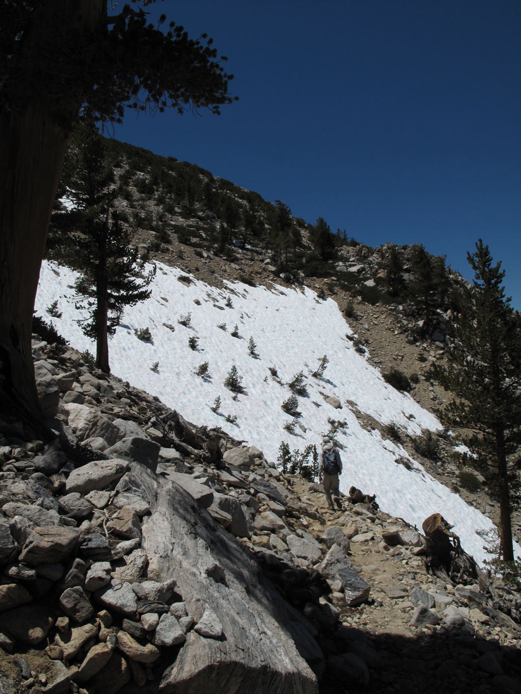
One of several snow crossings on the switchbacks to Mine Shaft Saddle.
Trail Flat campground area.
Another beautiful area along the dry lake trail (1E05.3).
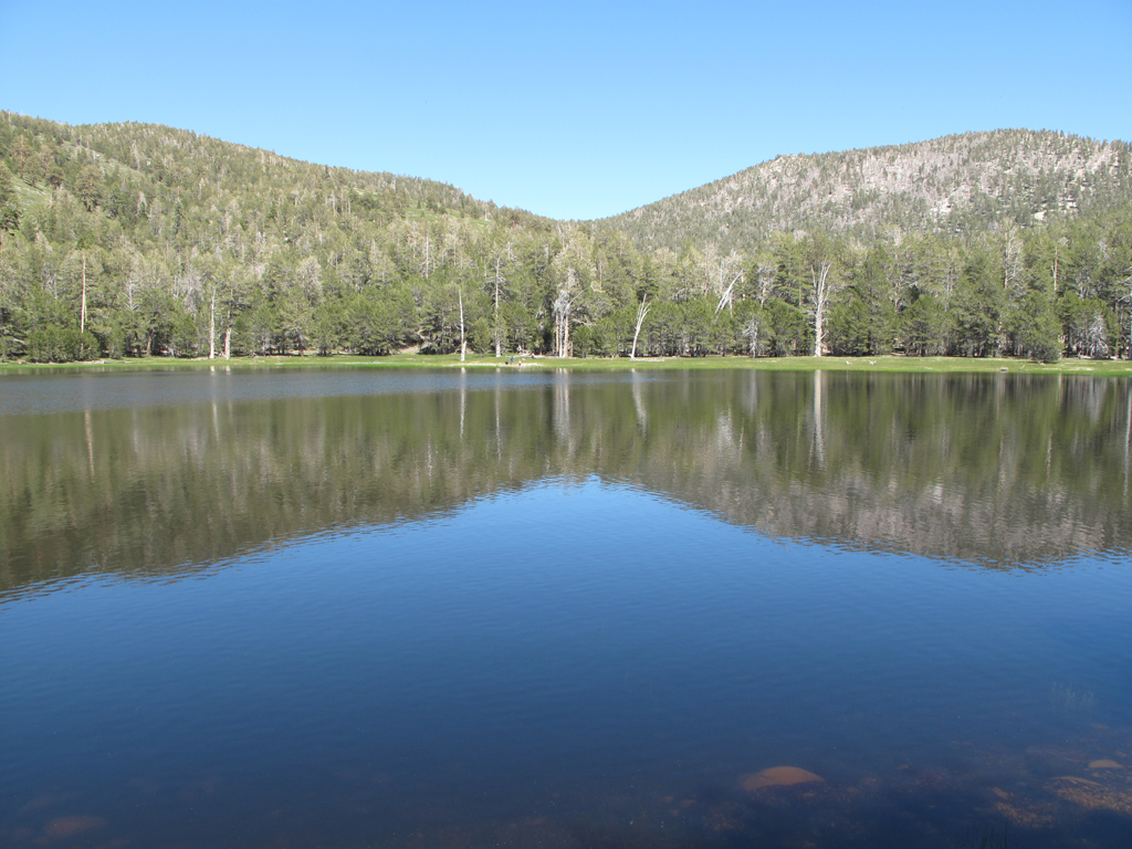
Dry lake is apparently broken. Doesn't look very dry to me.
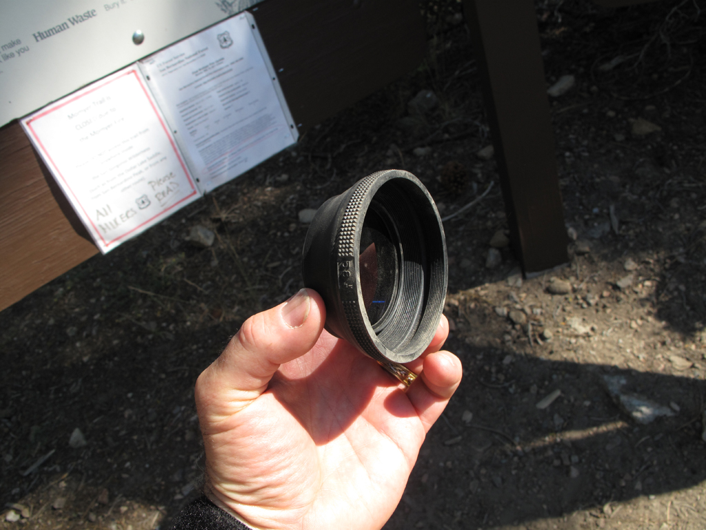
Found this lens shade and filter (polarizer or N.D.) on the trail near Horse Meadows; left it on the message board at South Fork Trailhead.
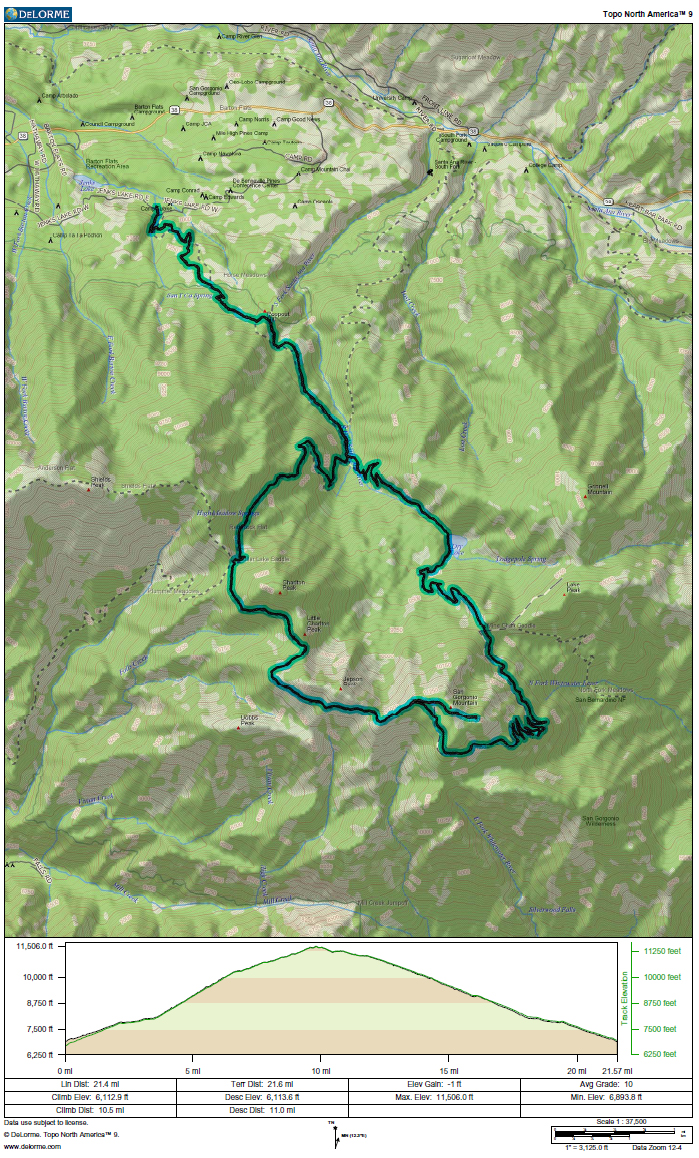
GPS track and elevation plot.


