I decided to do a long day hike and hit all the peaks in between.
It started off pretty easy, heading up the Windy gap trail to windy gap. But then I mistakenly took the Big Cienega trail for about a half mile towards Islip Ridge trail.
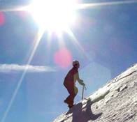
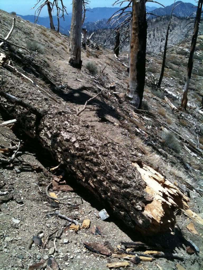
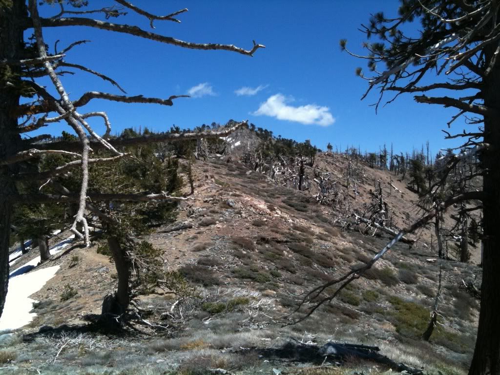
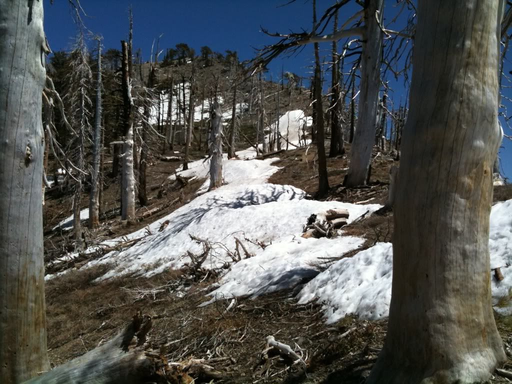
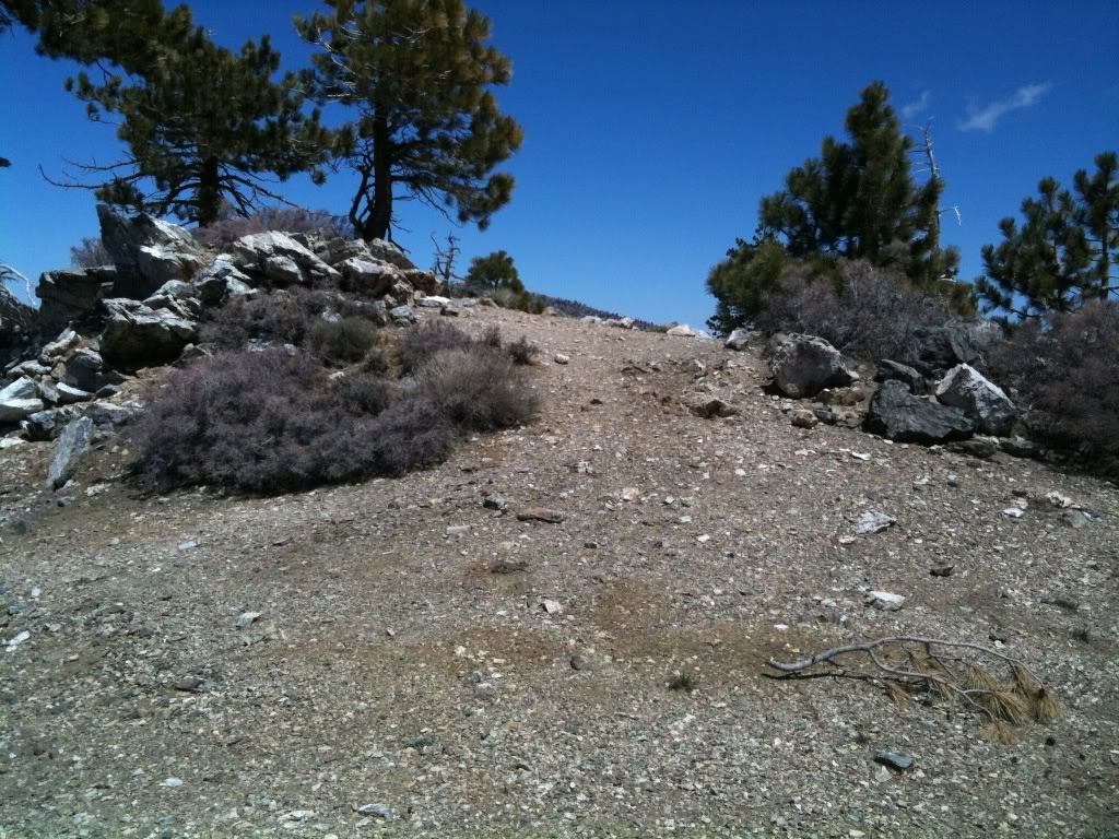
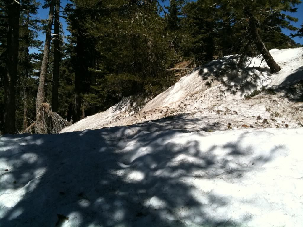
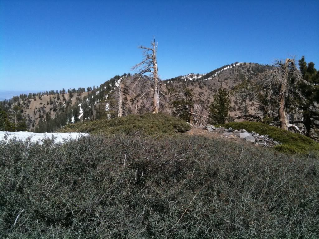
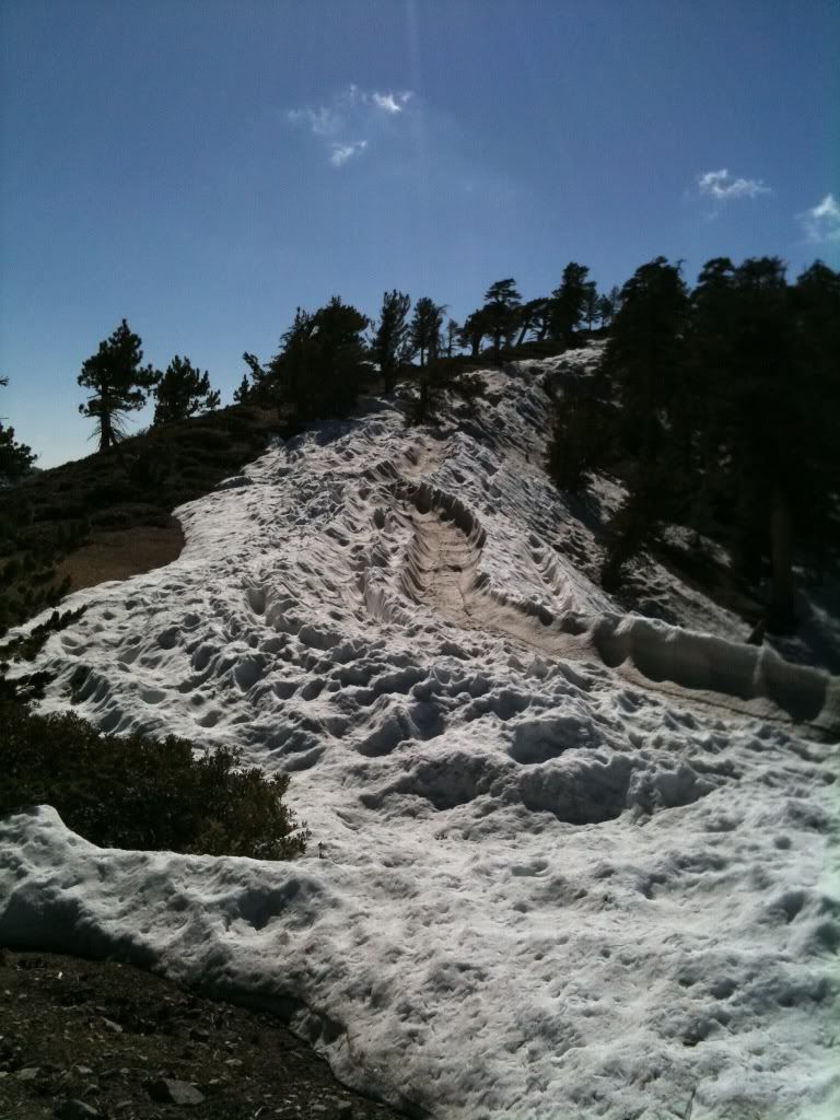
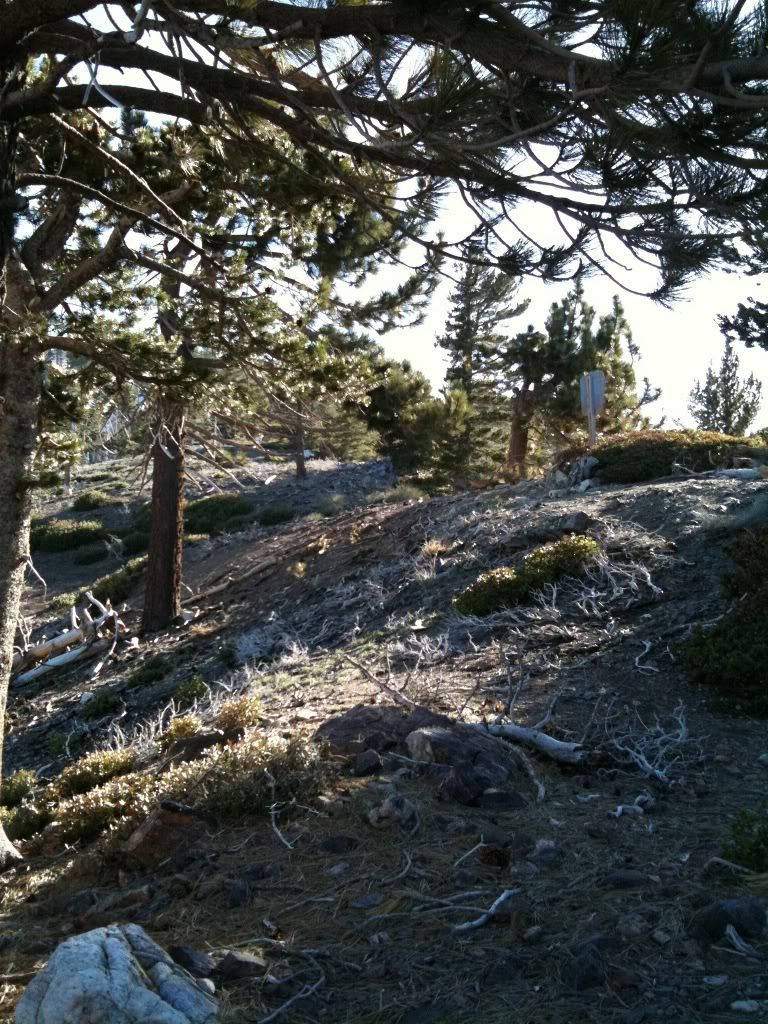
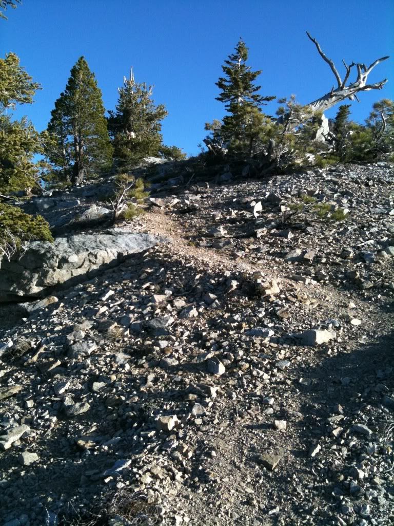
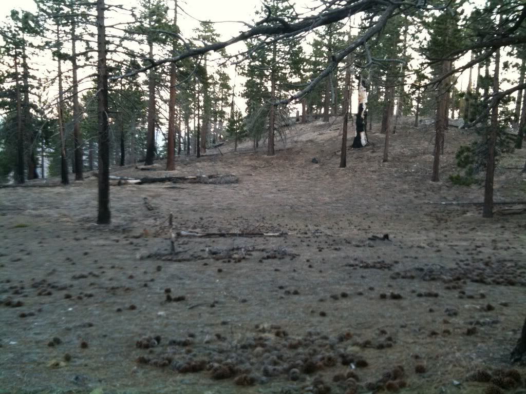
I figured I'd just scramble up the bowl till I hit the Windy gap trail a half mile up. Snapped a photo about half way up the hillside:
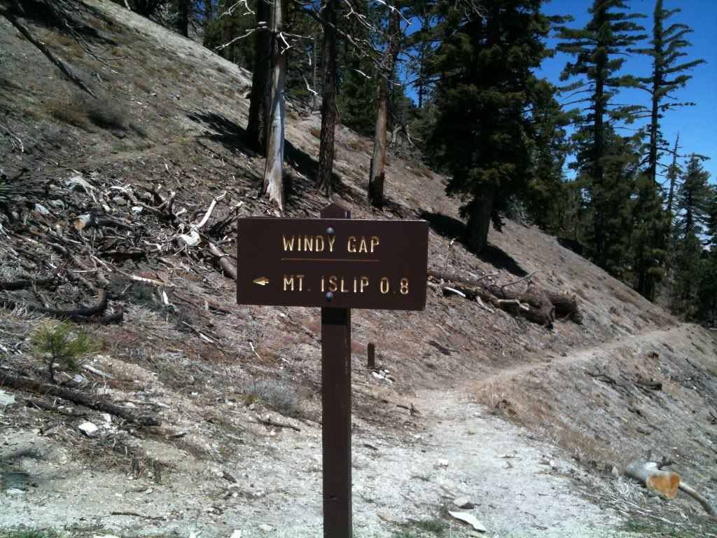
Took a short break at Windy gap to get all the dirt and debris out of my socks and shoes from climbing that slope instead of taking the real trail up:
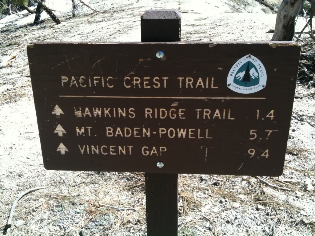
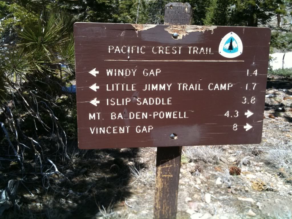
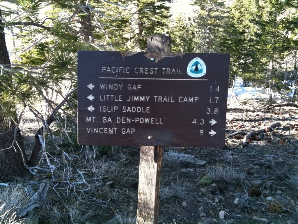
For some reason I thought Baden-Powell was 8.9 miles from Windy gap. I must of been thinking of the distance from Islip Saddle. Instead it was only posted as 5.7 miles:
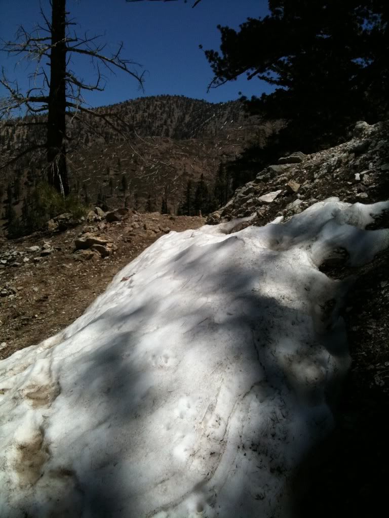
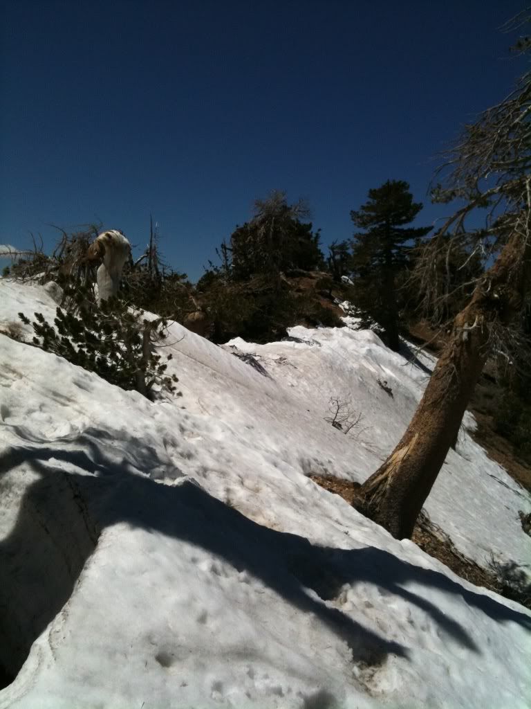
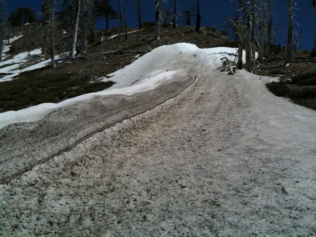
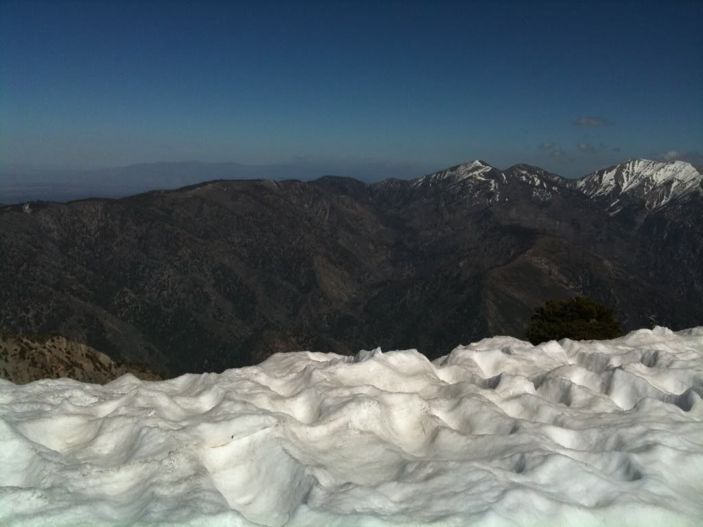
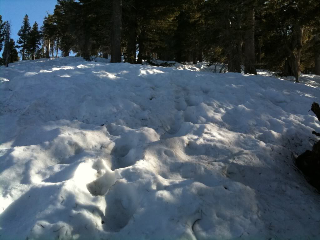
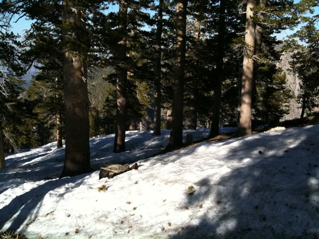
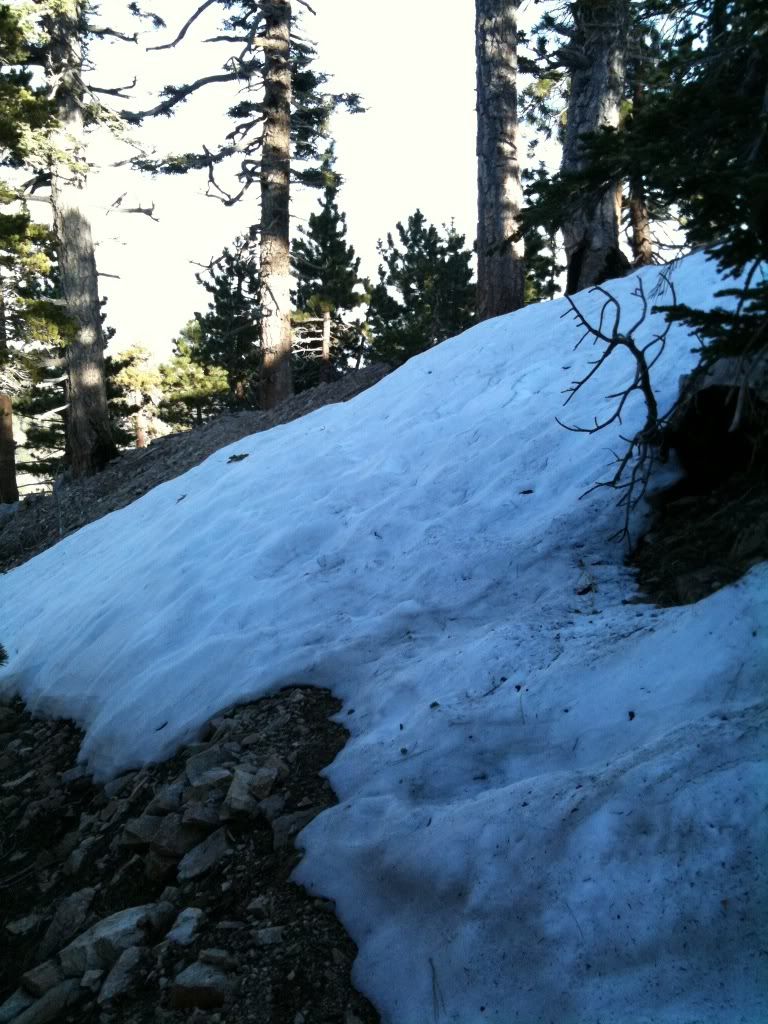
The first shots of lots of snow covering the PCT:
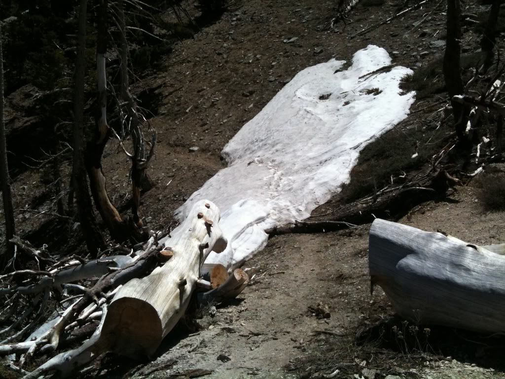
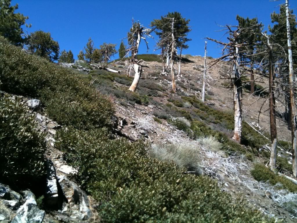
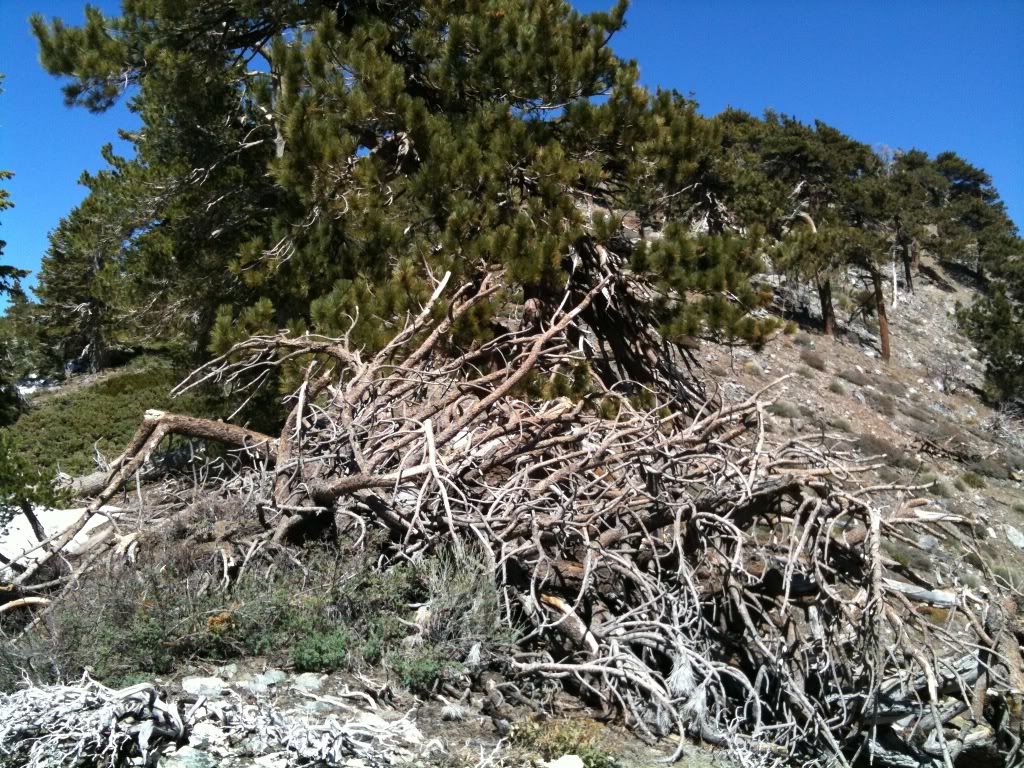
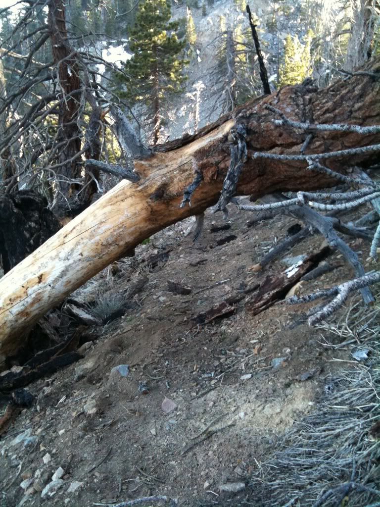
There are a ton of downed tree's waiting to block your path, this is just the first of too many to show:
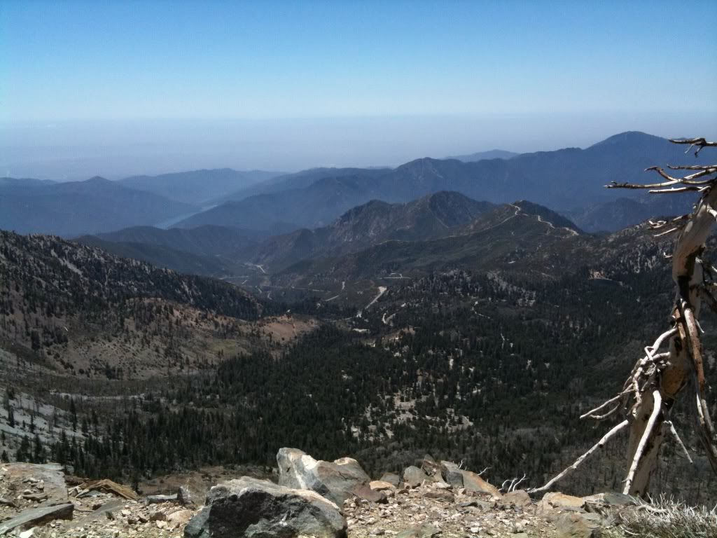
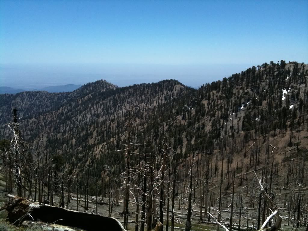
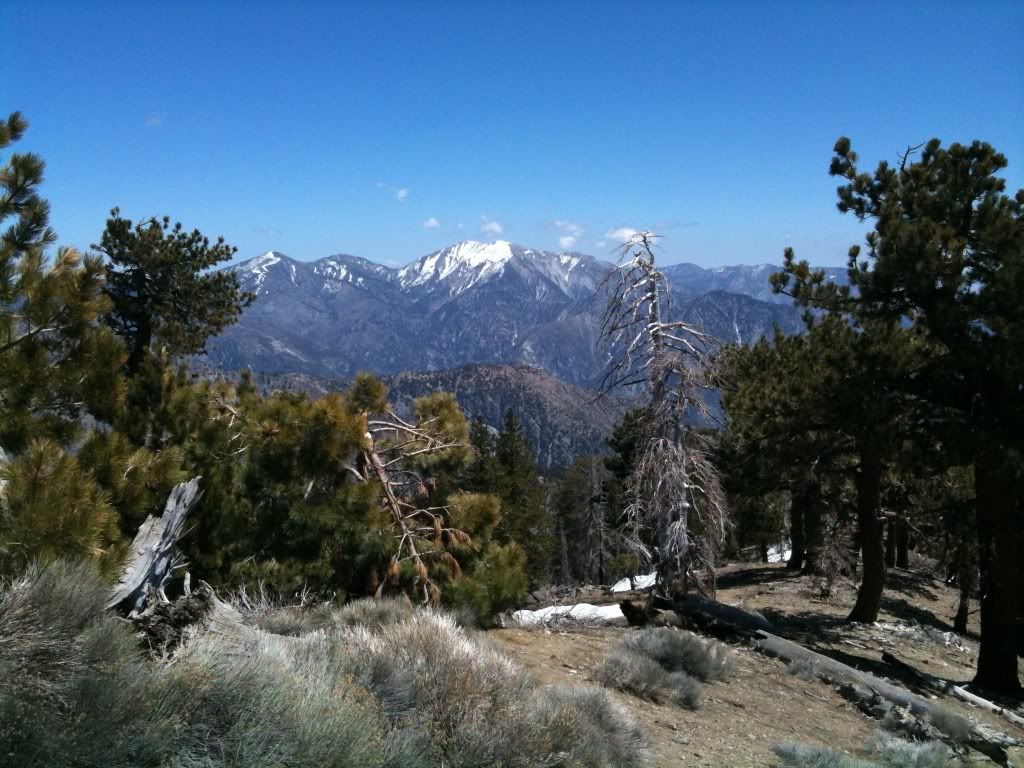
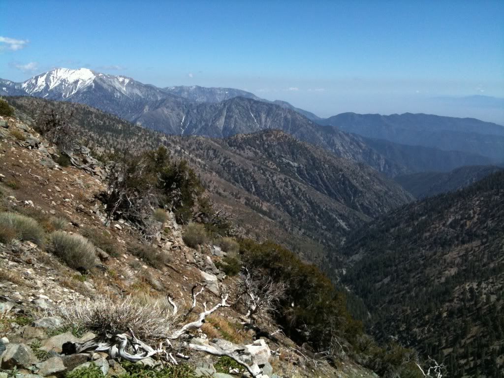
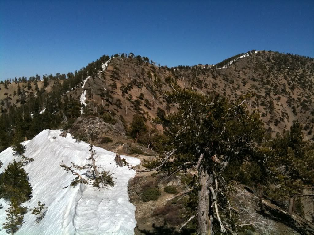
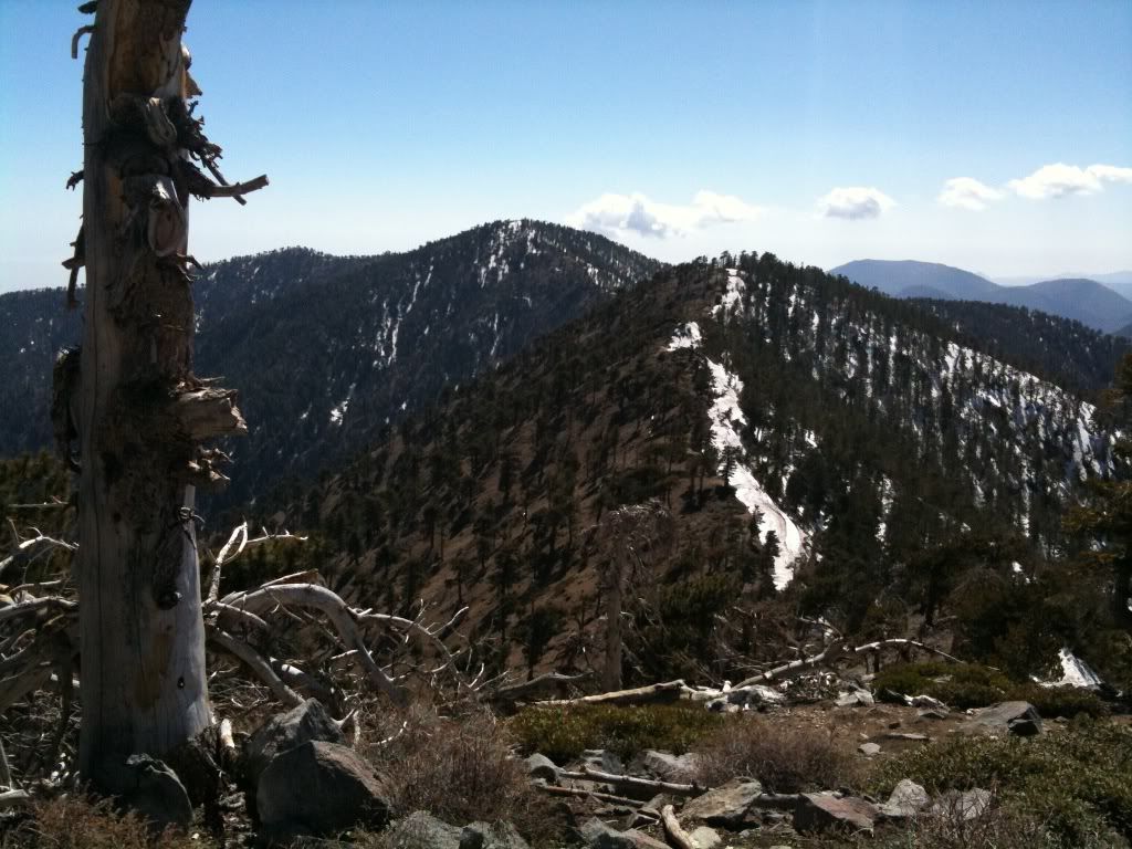
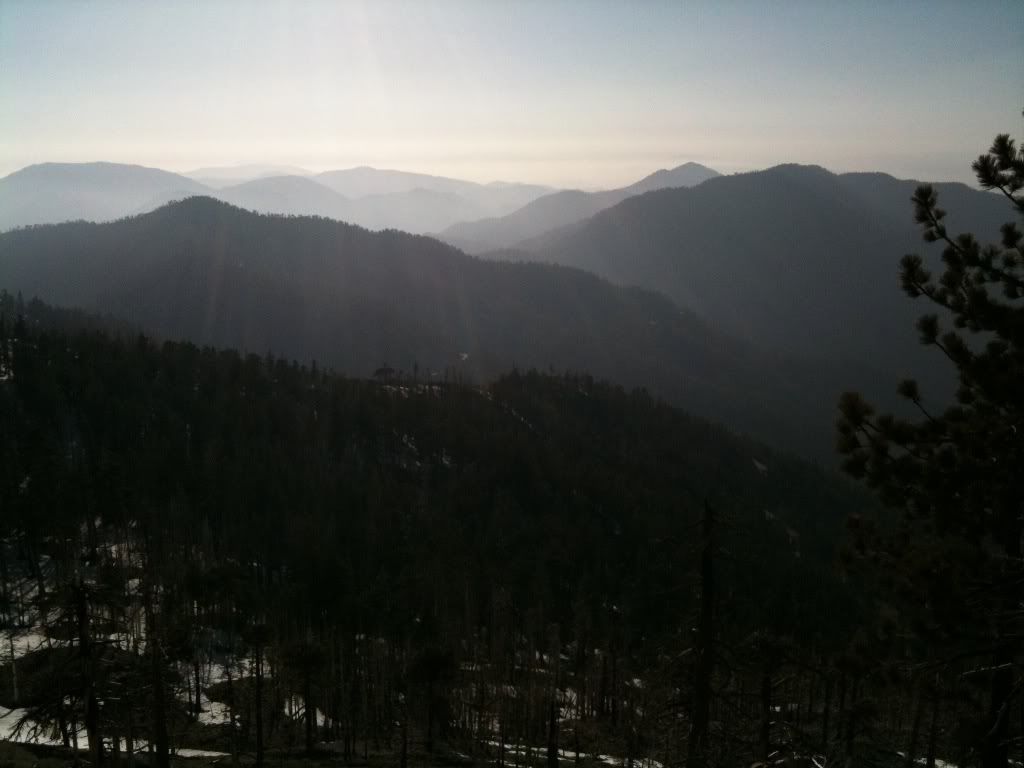
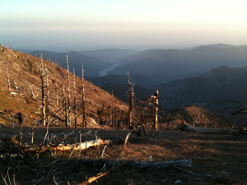
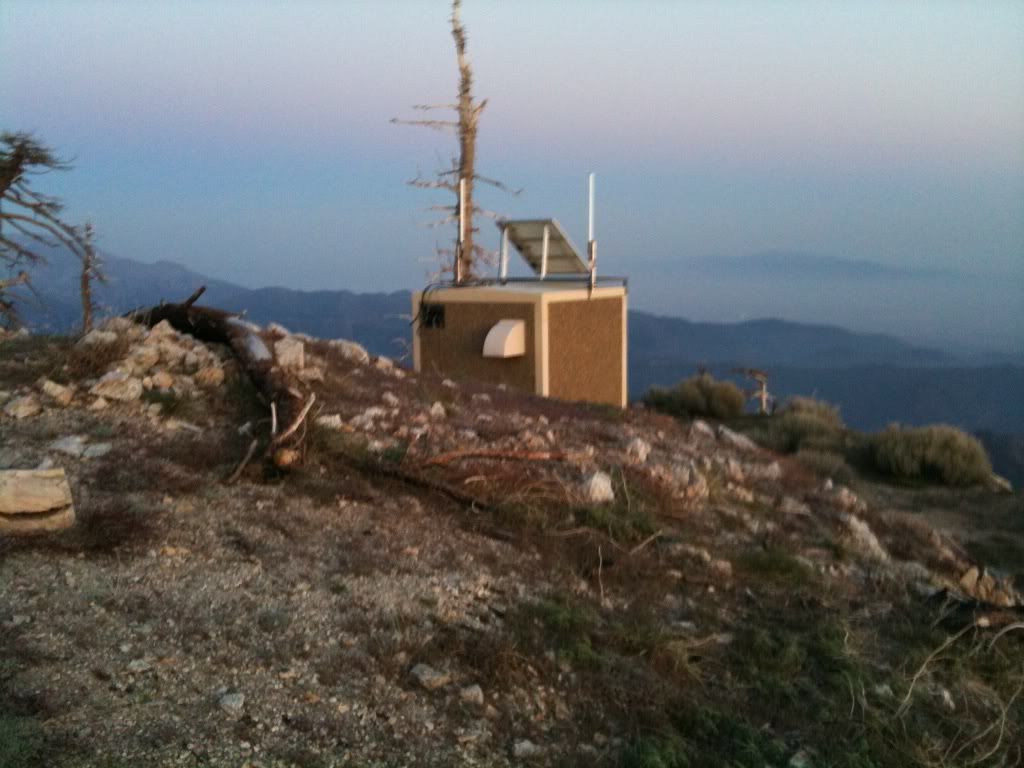
A shot of the Crystal Lake basin, with the resivoir also visible:
Looking back towards Waterman, Twin peaks, Wilson....ect:
Time for micro spikes:
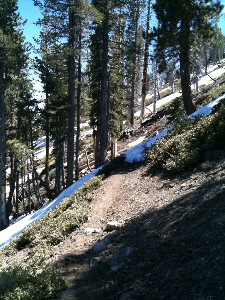
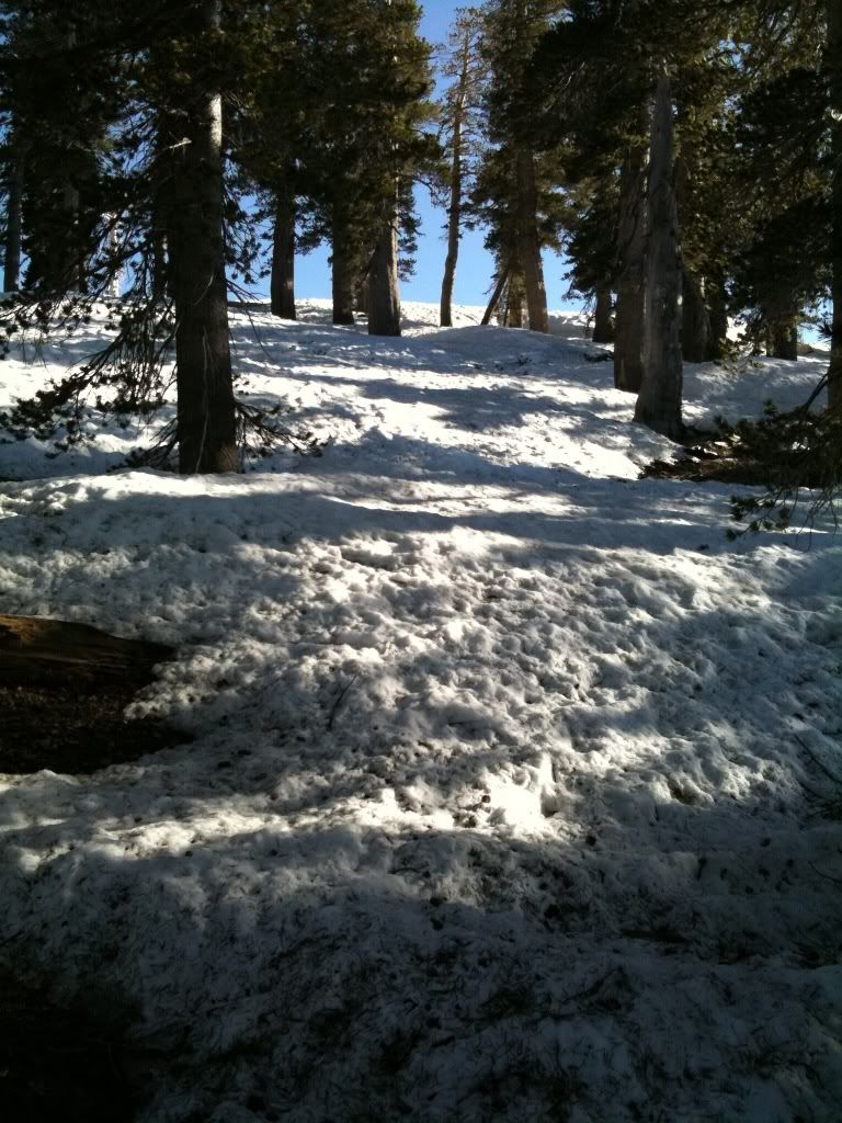
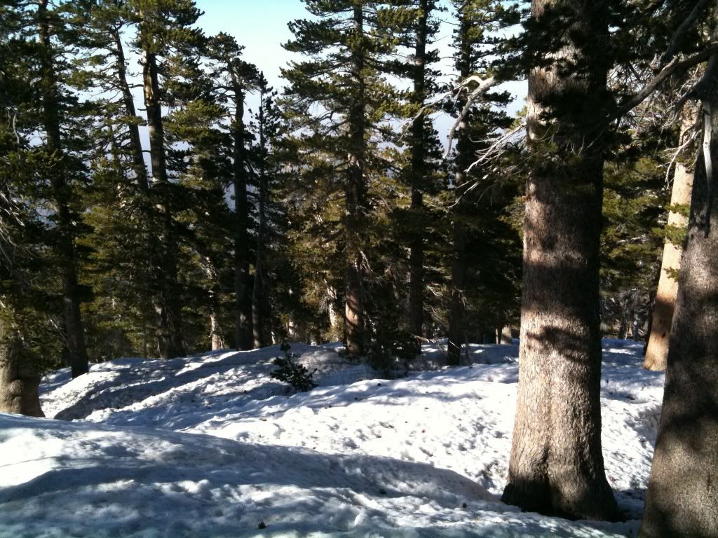
I spent most of the hike just hugging the ridgelines, since there was so much snow covering the real trail:
Hawkins finally comes into view:
I actually traversed to the right out of frame and avoided the snow:
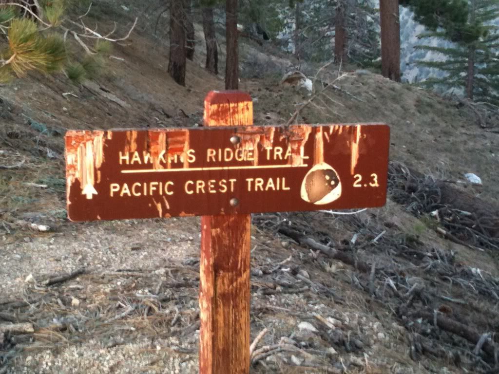
This sign marks the trail split, south to the Hawkins (middle, sadie, south) east to MT hawkins and beyond, west back to windy gap:
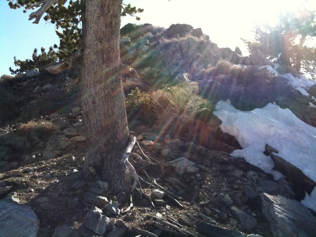
More ridge ascending avoiding the snow patches:
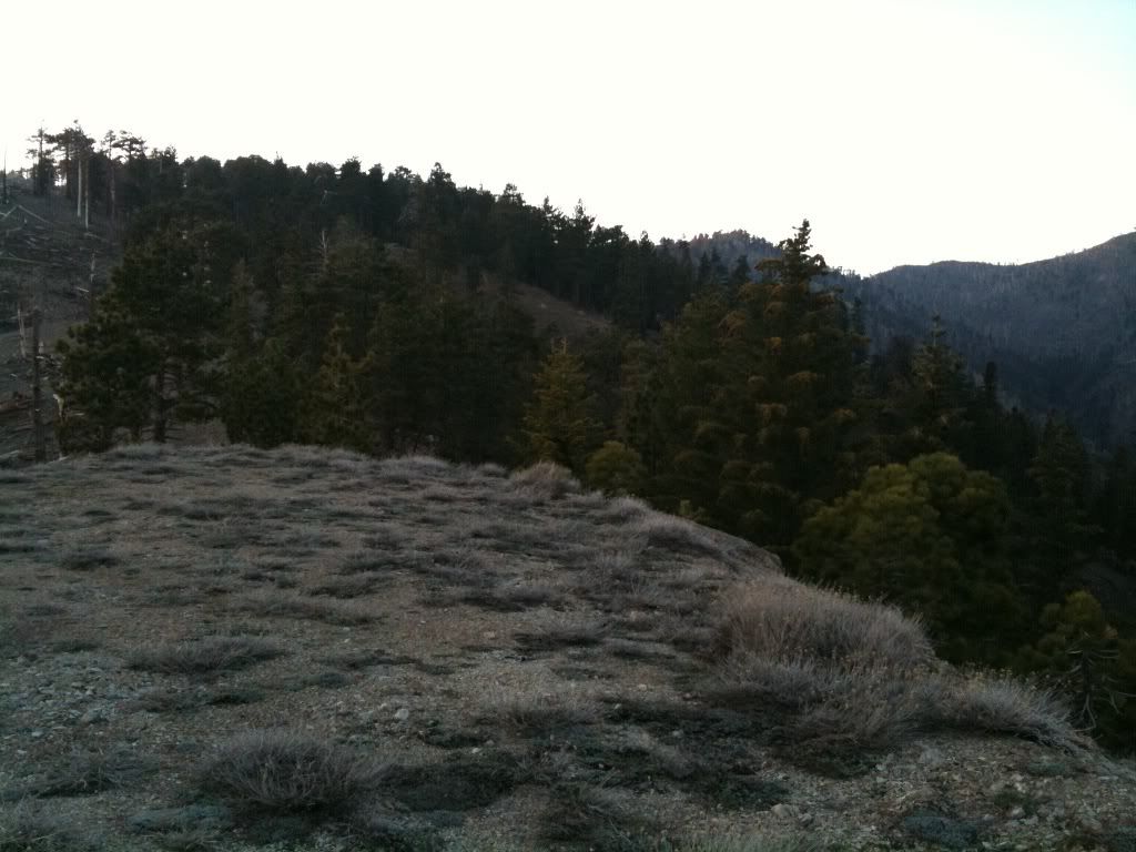
Looking back to Middle hawkins, Sadie hawkins, south hawkins. I'll see you three later in the day:
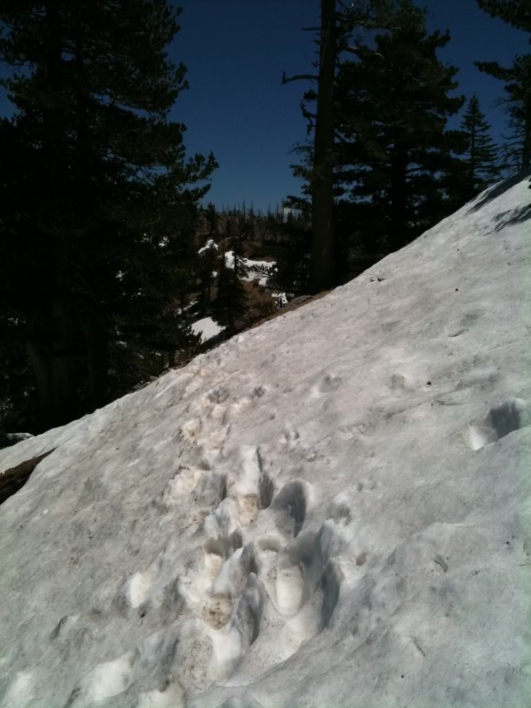
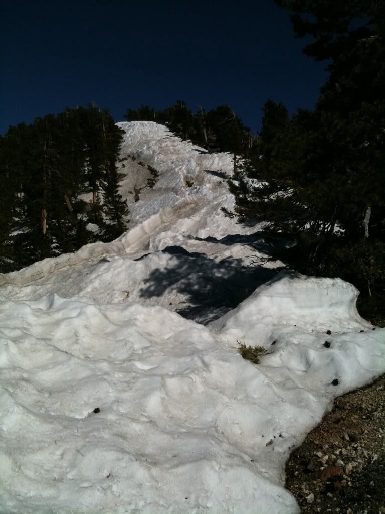
I decided to just ascend this patch of snow because it looked "cool":
Thank the gods, a use trail up to Hawkins:
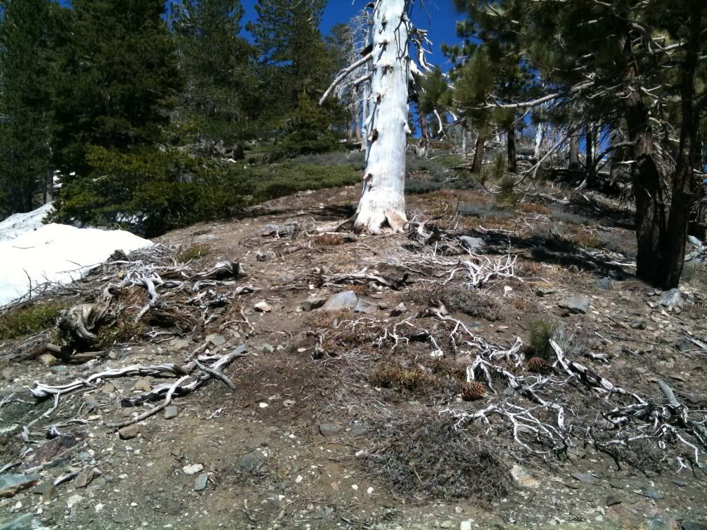
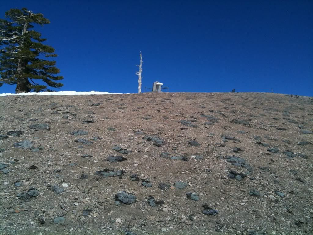
Such a disapointing peak, nothing to sign, no markers. I just ploped down under the tree to the left and ate a cliff bar and some rasinettes:
It was at this point I checked my water level. I realized I was already 1.5 litres down and decided to fill up the 1 litre platypus with some fresh snow to melt on the way to baden-powell, as reserve water.
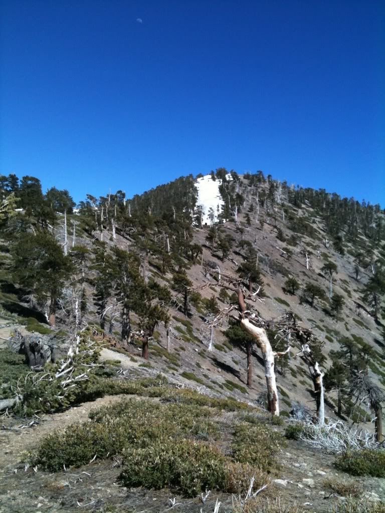
A shot of baldy from Mt Hawkins:
A shot down into the valley below Hawkins:
A panorama atop Hawkins:
More ridge travel in a choose your own adventure sort of way:
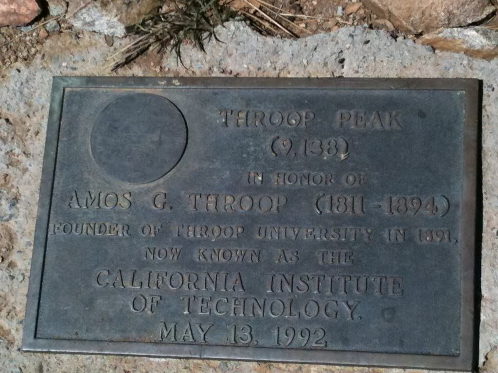
At the summit of Throop:
A panorama atop Throop:
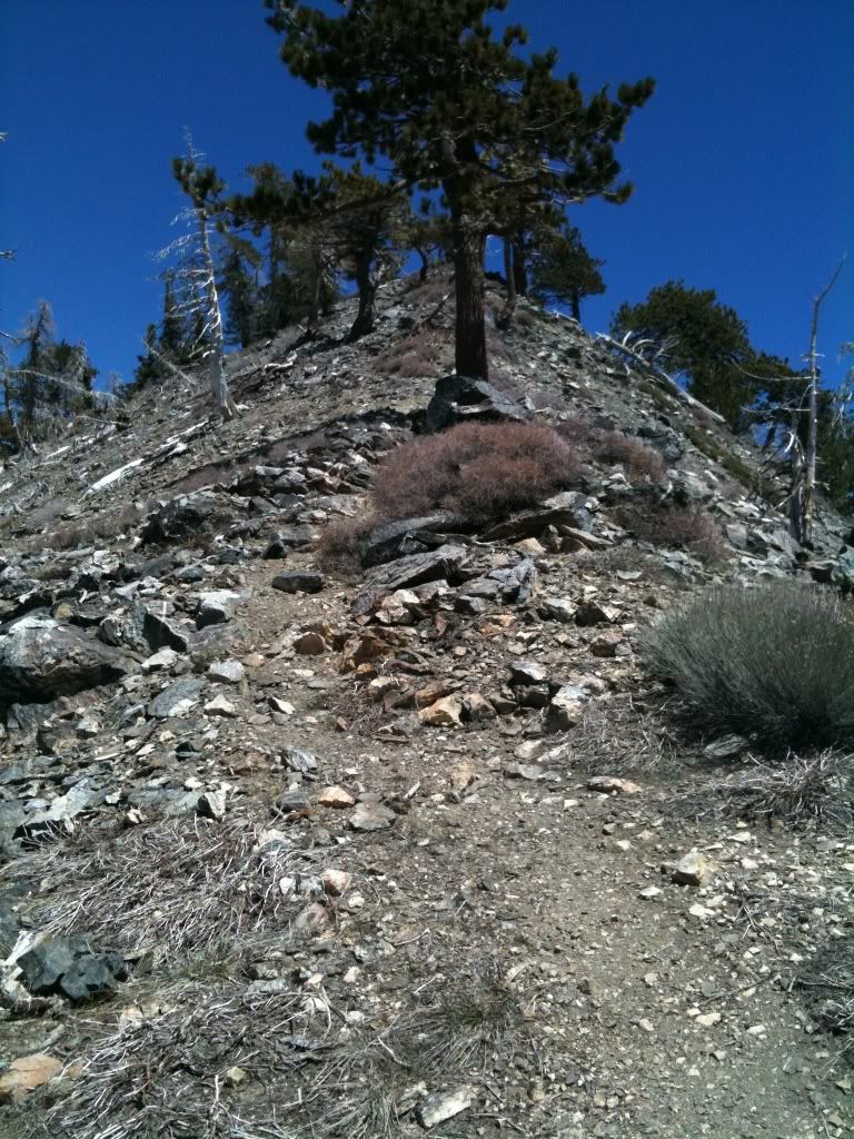
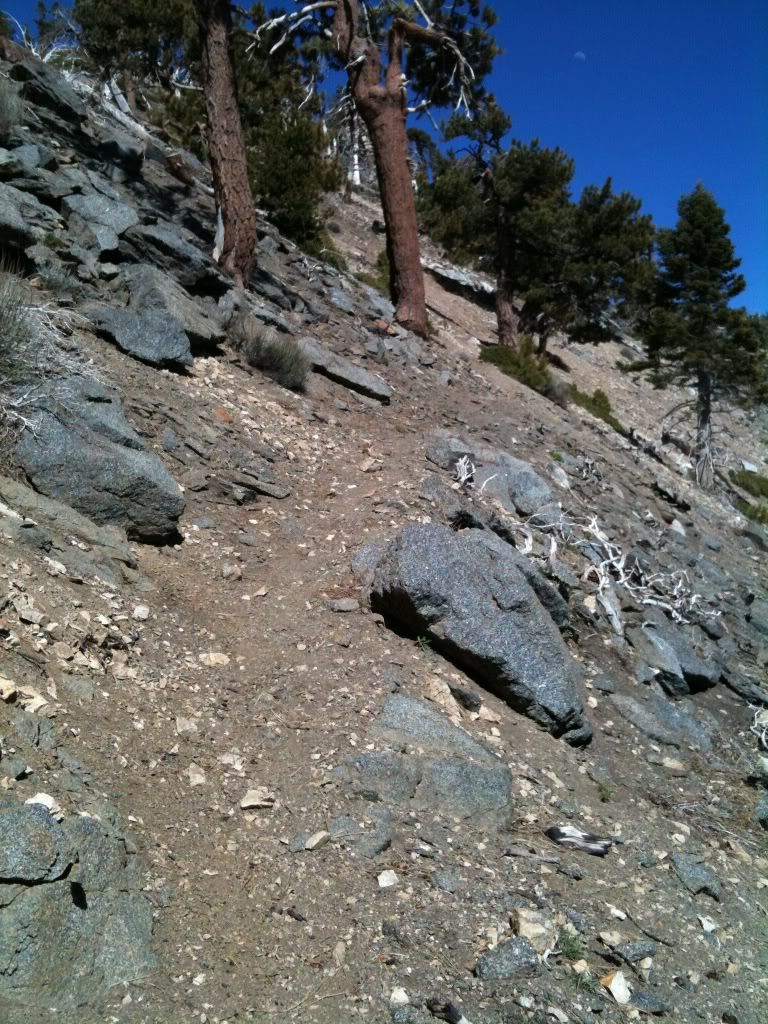
There's a trail there:
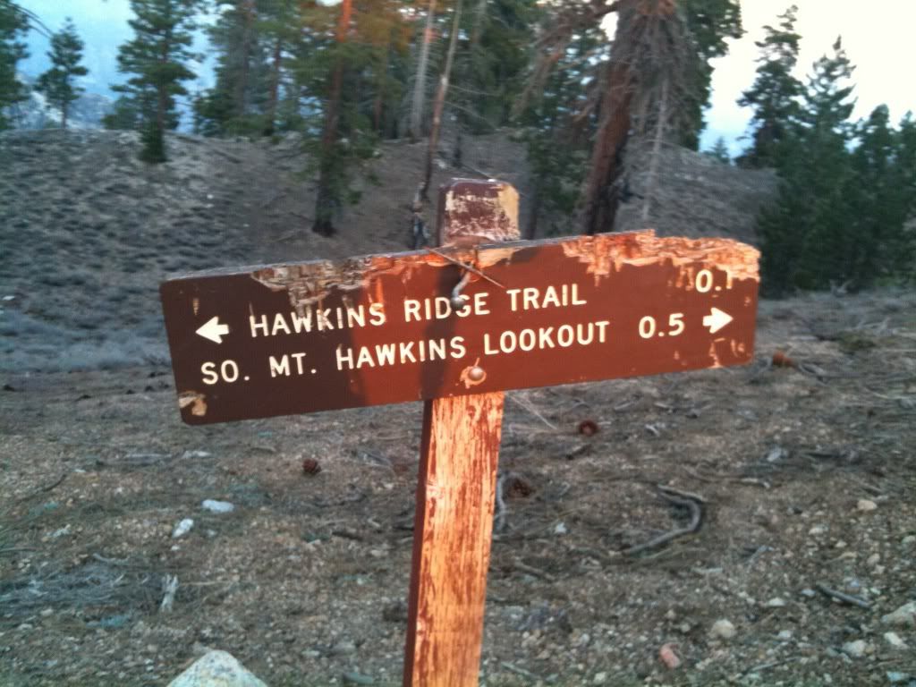
This sign caught me by suprise:
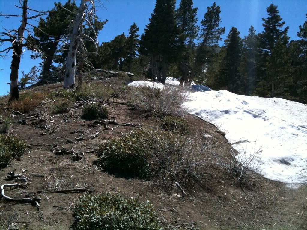
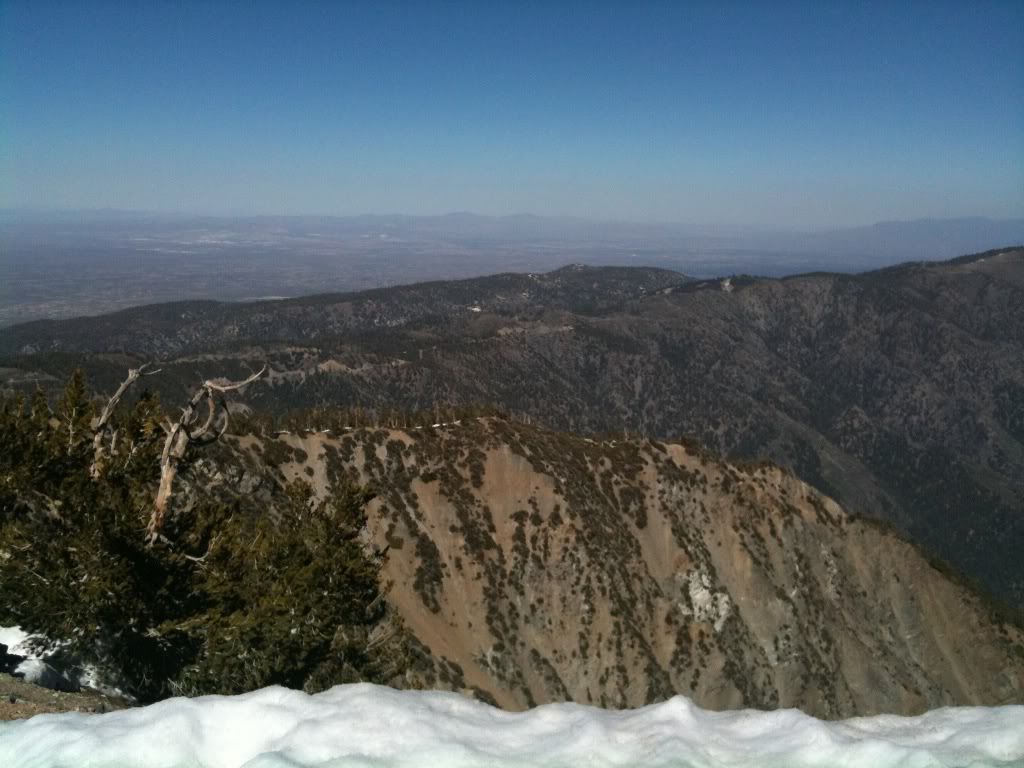
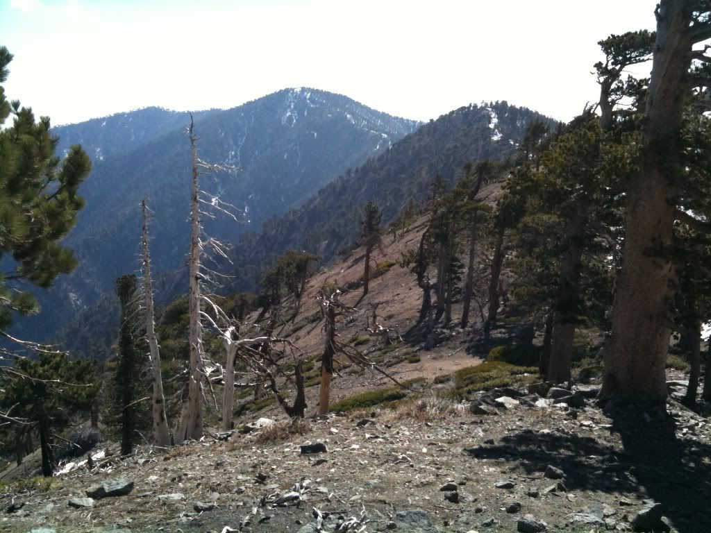
A shot looking back at the downclimb from Throop:
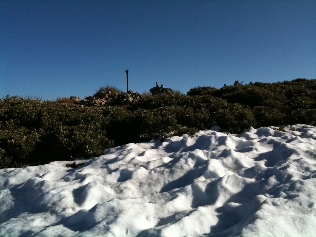
More snow to avoid, I traversed out of the photo to the right along the ridgeline:
Several peaks visible here:
Downed tree go away fall somewhere else another day:
Scrambling up the slope to Burnham:
On a snow pile atop Burnham, Baden-Powell comes into view:
A panorama atop Burnham:
More ridge line traversing to avoid the snow:
Hurray the PCT takes the southern slope up for a switchback:
Back to snow avoidance manuvers and ridge running:
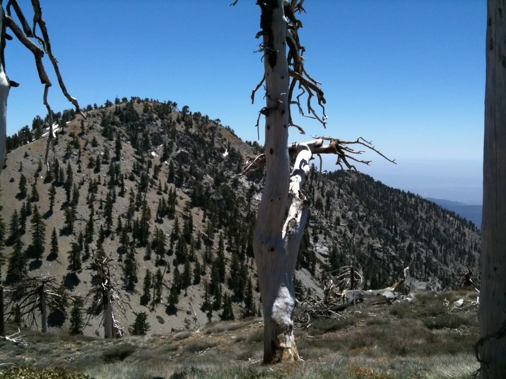
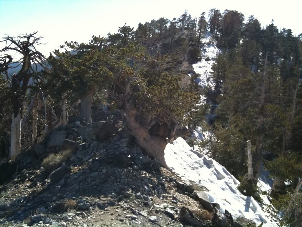
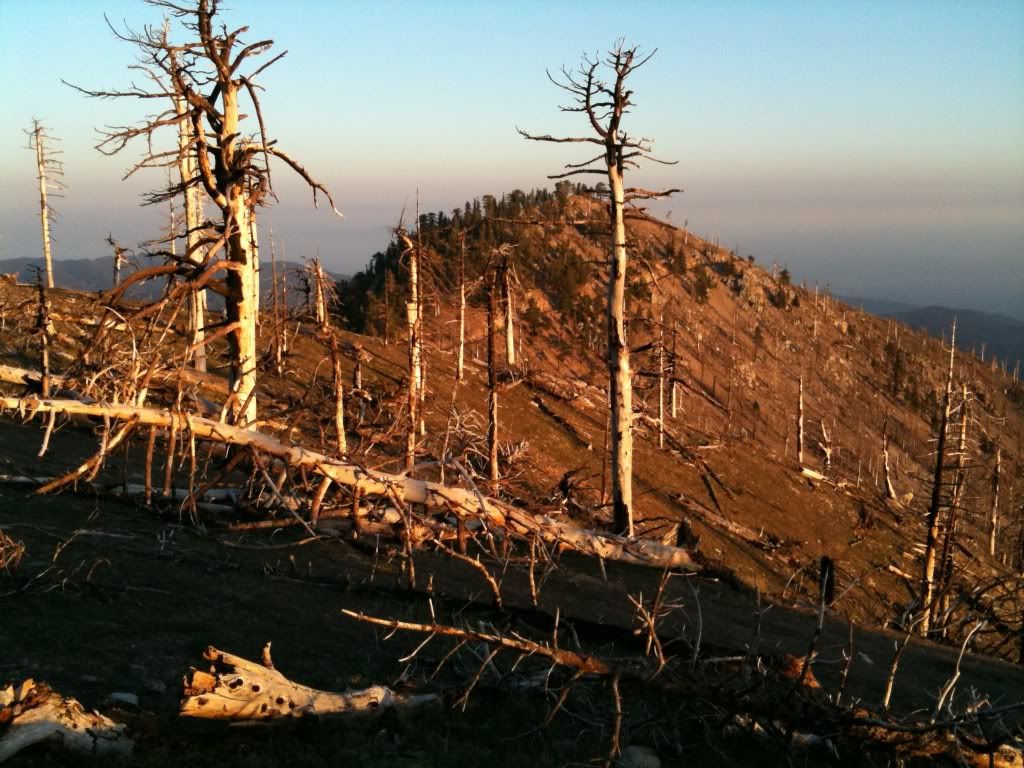
Looking back at Burnham and Throop:
Baden-Powell I see you!:
No thankyou to snow, I traversed up the right side of the photo on the dirt ridgeline:
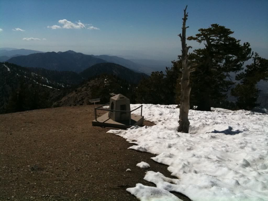
The Memorial comes into view:
Baldy and blue ridge:
The Hawkins'is. I'll be seeing you all later:
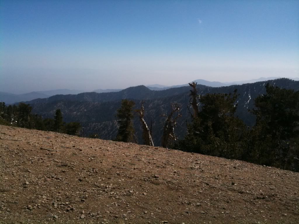
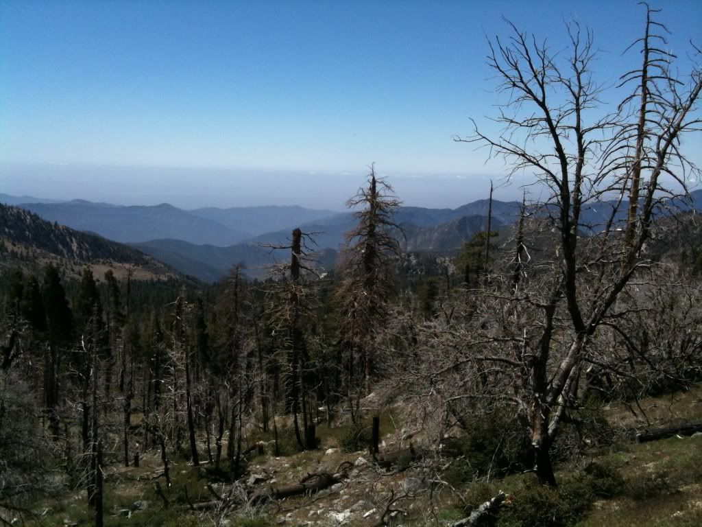
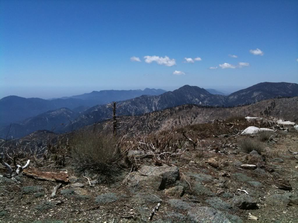
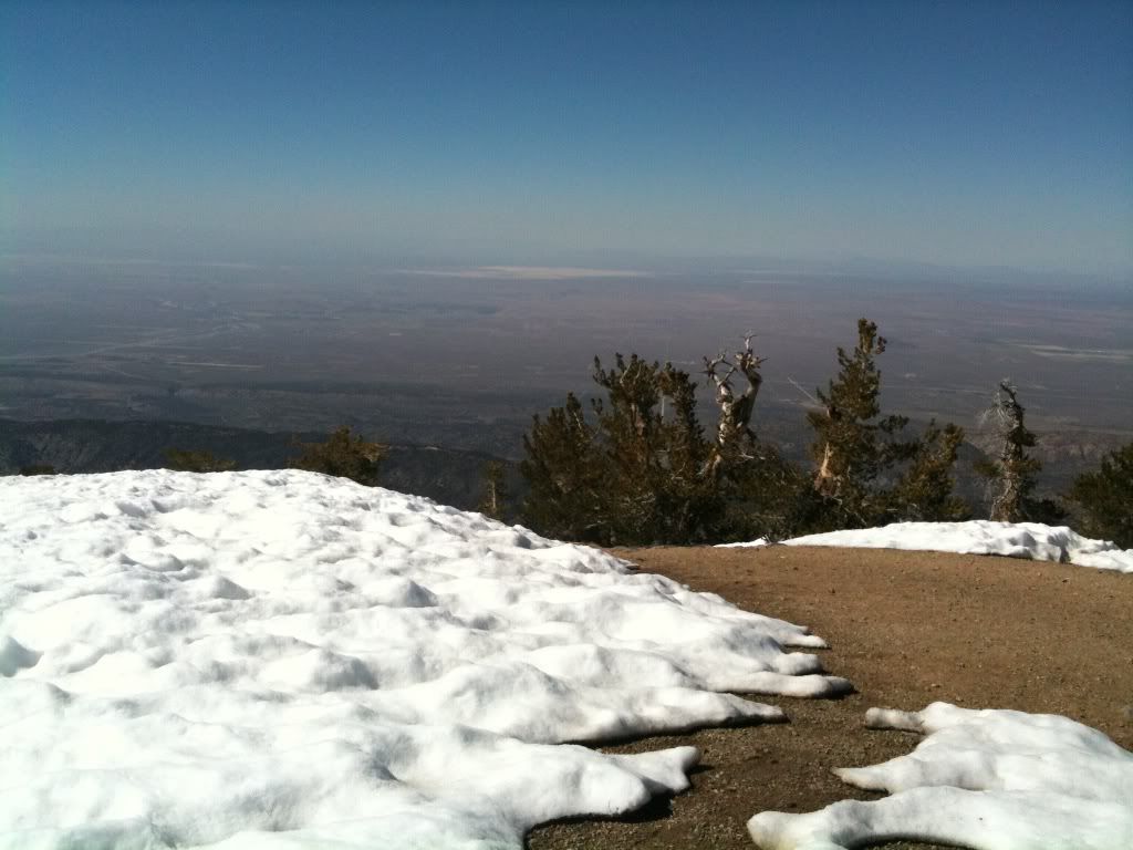
Desert views:
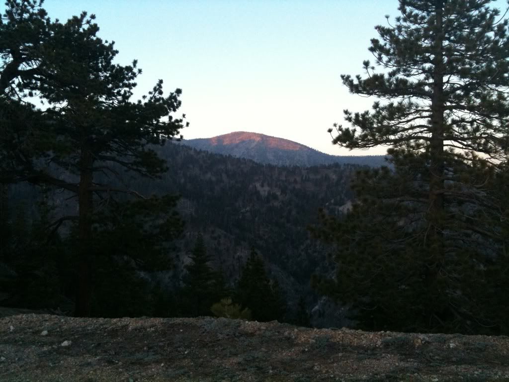
Looking back:
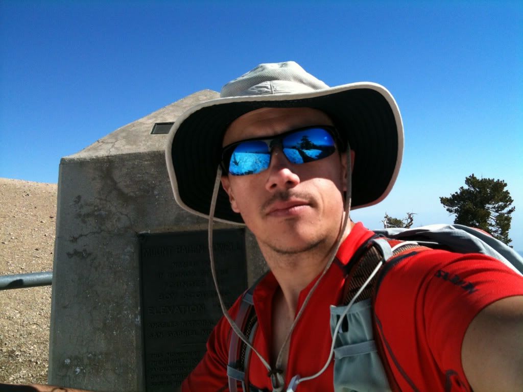
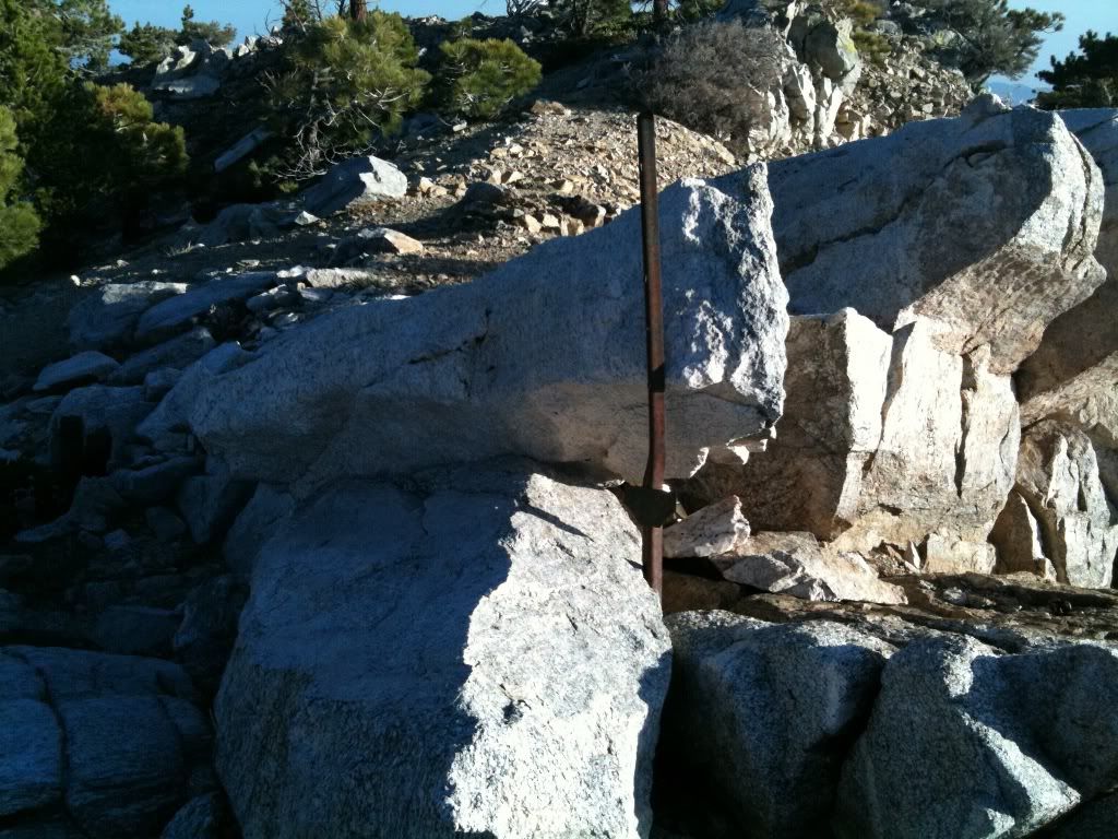
Hey that looks familiar, I wonder who put that there:
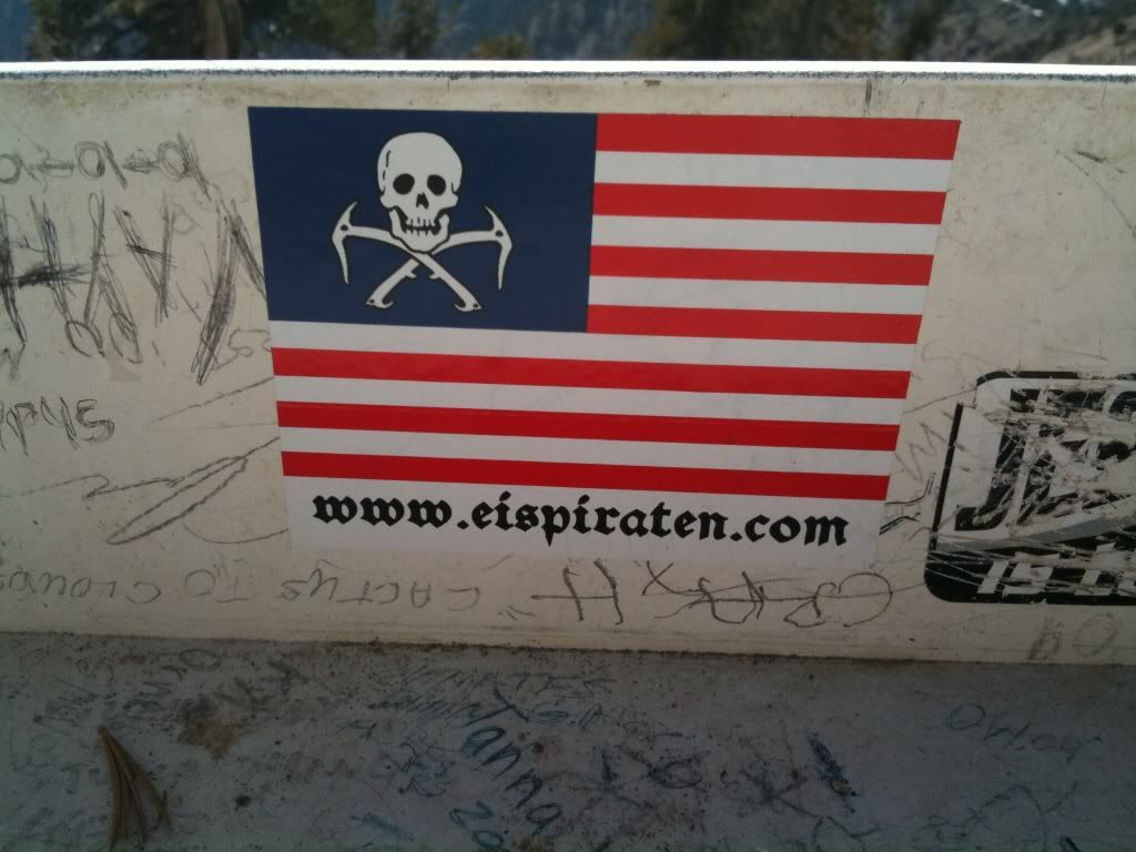
I know that guy:
More ridge travels:
I call this the snow superhighway, I actually just took the ridge dirt route to the left:
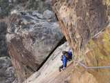
Some easy class 3:
Ridgeline again!:
Egads, the PCT:
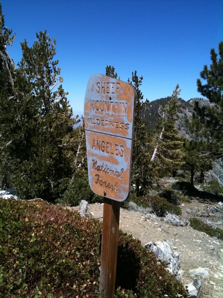
If you look closely you will see a backwards Sheep mountain sign:
At this point I said F/U to the snow, and went head on into it up the ridgeline to throop:
Ahh finally at the summit of Throop after many kicked in steps up the snow:
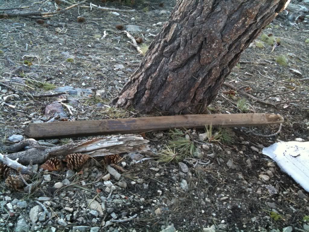
I think something important went here:
Here's the split up to Hawkins from the PCT, I'll just go around hawkins on the pct this time:
A shot from the PCT looking west:
This sign looks familiar, time to head south and hit middle & sadie hawkins'is:
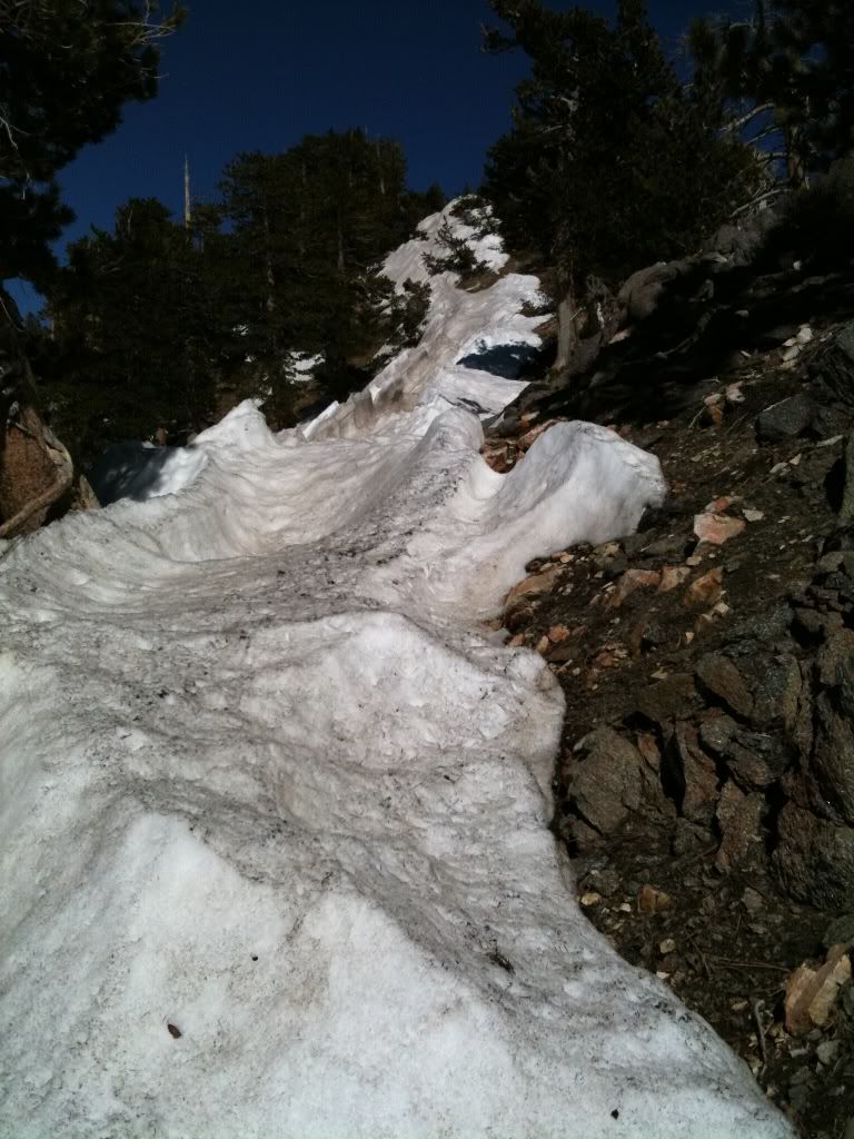
Just one patch of bothersome snow on the ridge trail:
Lots of downed trees on this trail though:
There's a use tail up to Middle hawkins:
At middle hawkins, I signed the register in the tin can:
Here I run out of the 3 litres of water and pull out the reserve platypus. I end up pouring it into a plastic baggie so I can filter it into my water bladder. Hurray another 1/2 litre to make the 8 mile trek back to the car. I also had a 16 oz propel as my last backup, and I knew there were 2 streams running down the Fire road about 5 miles away if I needed moar water.
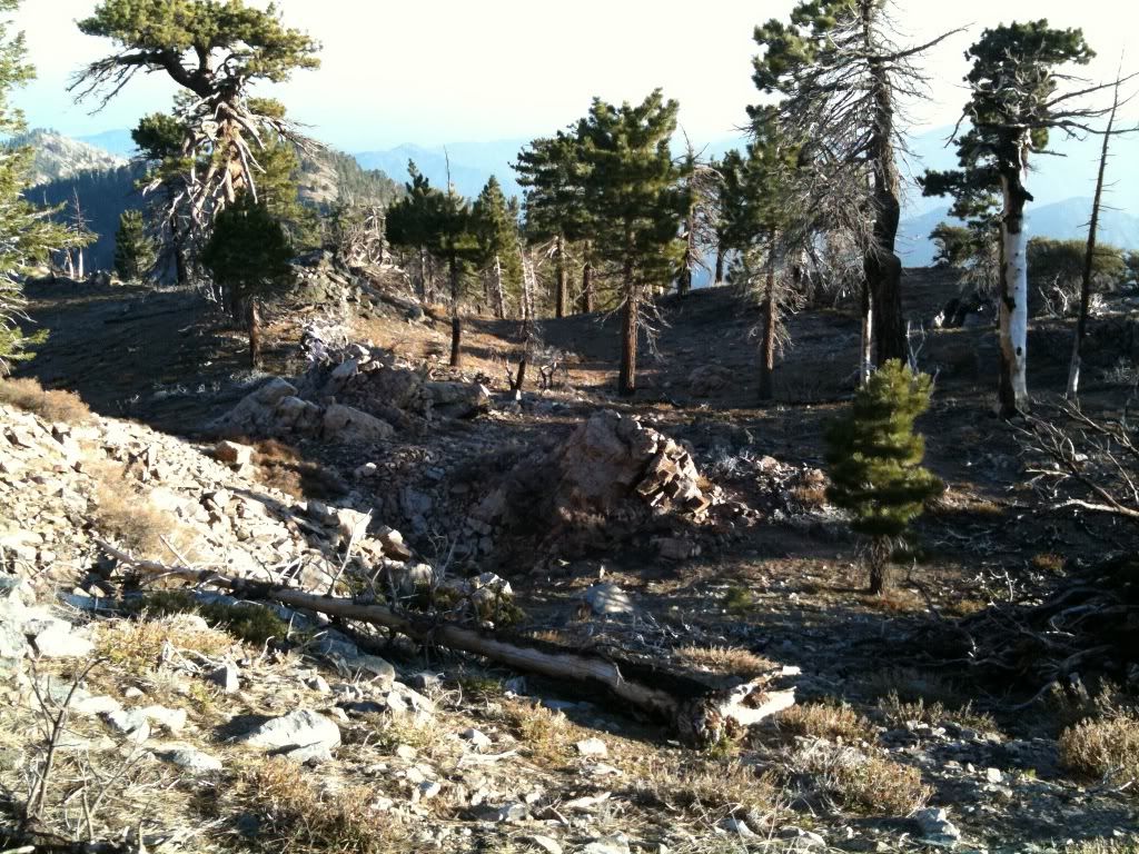
After Middle hawkins it decends down into this little plataeu:
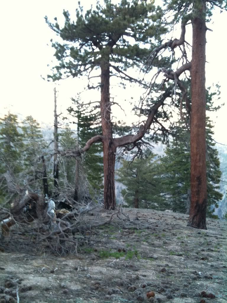
Mother nature decided to grow a tree that waves at me:
A really nice spot to spend a night camping, maybe some other time:
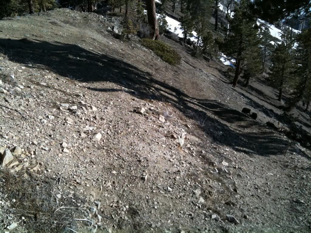
At this point the trail goes cold and I just do more ridge traversing:
There's south hawkins:
I like this shot because thats Baden-Powell, and I was standing atop that earlier in the day! It blows my mind:
Some more ridge work, albeit this time via a fire road:
The two signs at the junction, I decide to ascend the trail this time instead of the fire road:
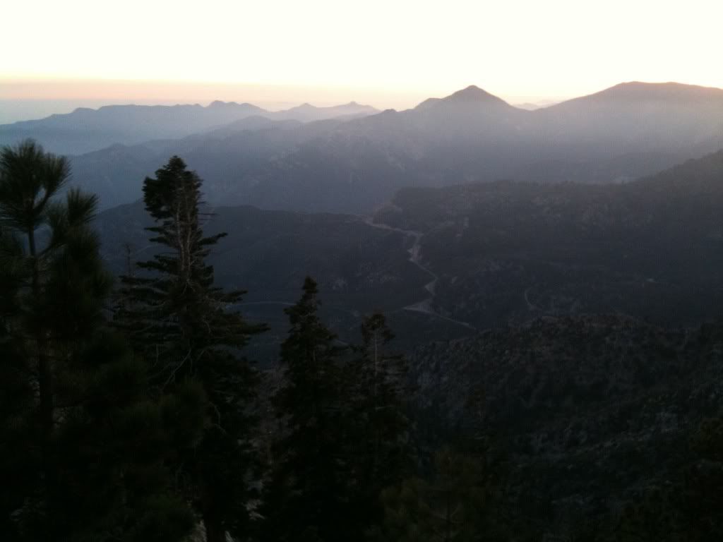
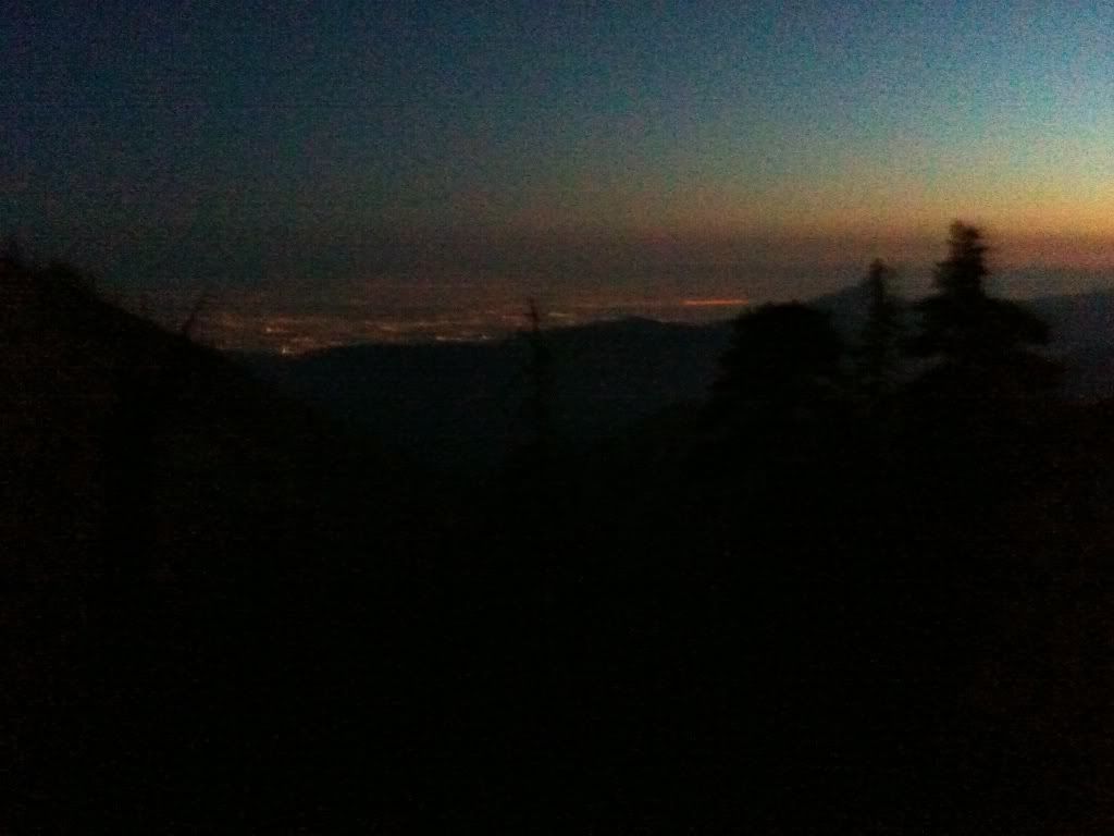
Looking down into Crystal lake basin as the sun sets:
South hawkins:
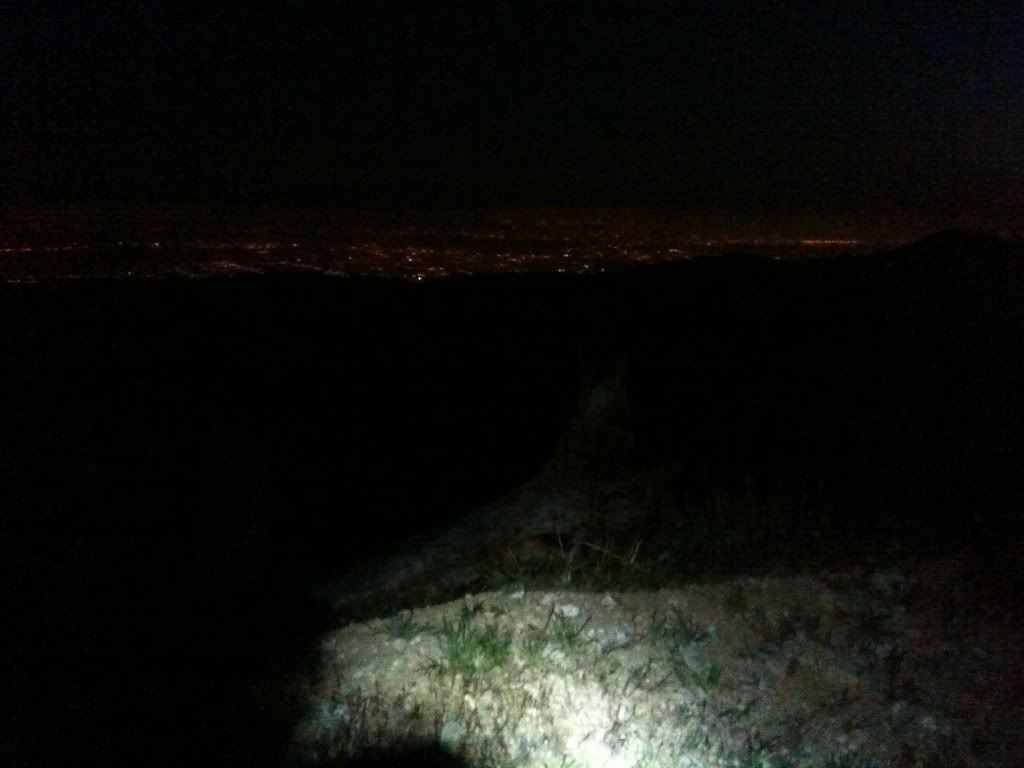
Decending down the fire road, SPOT headlamp time:
Another attempt at a night photo:
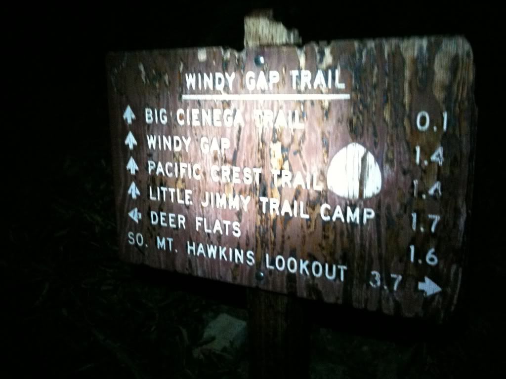
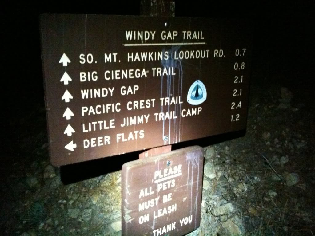
Finally at the windy gap crossing of the fire road:
Almost there:
Here's a link to everytrail. The gps cut out on me just after middle hawkins, so I lost all the rest of the gps data and had to try and fill it in as best I could.
http://www.everytrail.com/view_trip.php ... 2e6bc7210e