Time went by and I was able to meet some very skilled mountaineers on this board and others. I read trip reports of people doing some very fun winter outings, then was invited to join in a few, then got the proper equipment, learned to use that equipment, then started seeking out other routes that would test those skills. The time had come to go do that one route that had been calling me for so long.
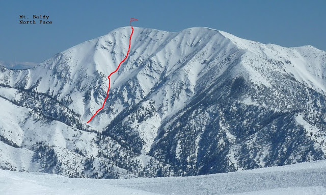
On Wednesday Sam Page sent me a message saying let’s go do the North Face and it didn’t take much convincing but first I had to make sure that I could get a file finished that had been giving me problems, by Thursday morning I had worked it out and was ready to go. So at 2:45 AM Friday morning we met at the usual car-pooling location and headed up to Manker Flats to give the “Big Northwest Face” a shot.
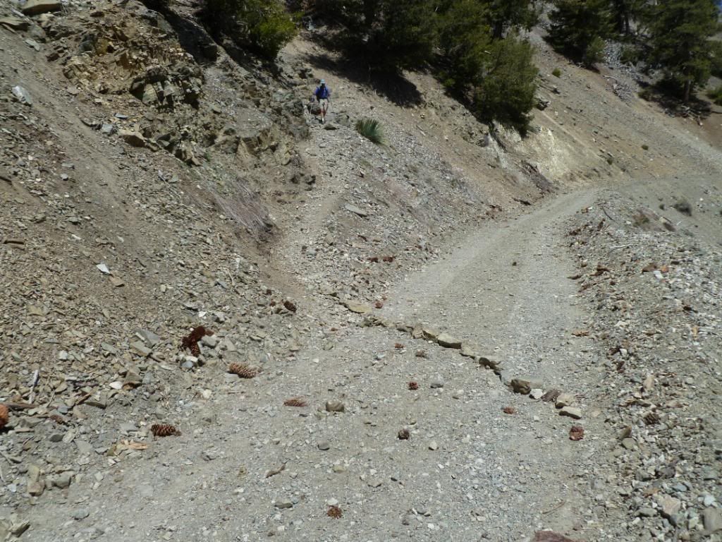
We left Manker just moments before 4 AM, both of us were feeling the adrenaline build as the weather said it was going to be partly cloudy but the sky was crystal clear as we made our way up to the Ski Hut at shortly after 5 AM. We kept moving up the water drainage that is just above the hut for another 250 feet where we quickly changed out of hiking shoes and into winter mountaineering boots. We filled our water bottles not knowing if we would find water on the other side of the mountain or if the snow would have all of Fish Fork Creek covered. Shortly thereafter we were moving again heading directly up to the saddle between Mt. Harwood and Mt. Badly, making our way between small patches of snow, scree and manzanita.
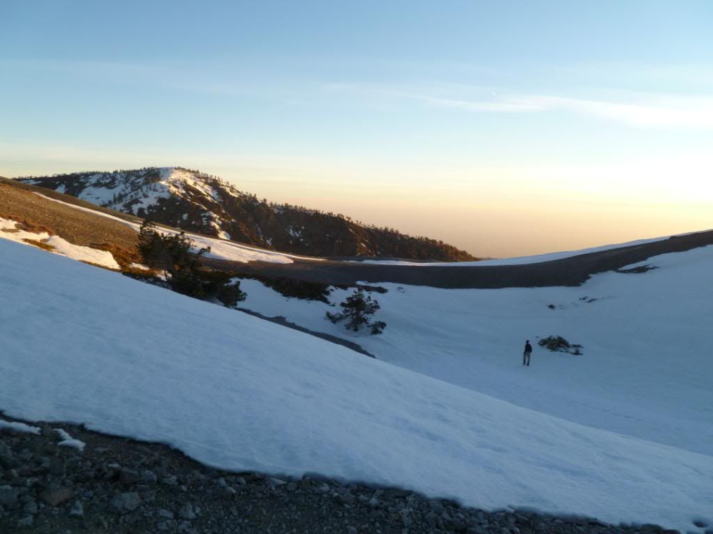
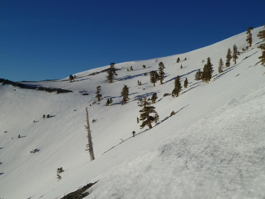
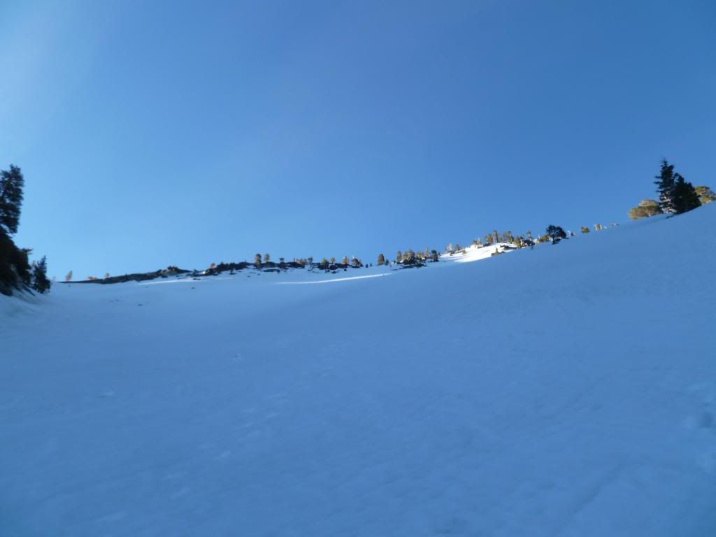
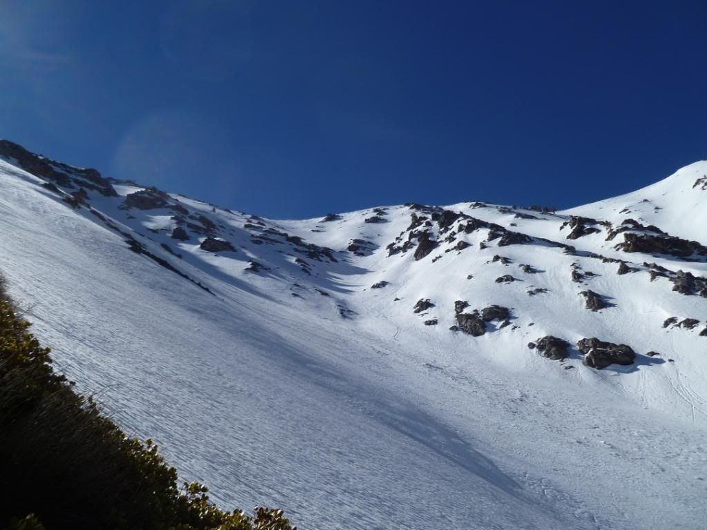
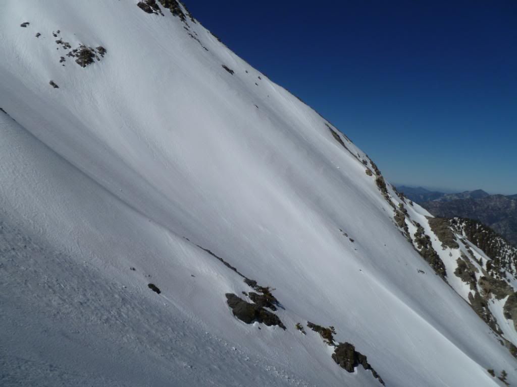
At 6:30 AM we popped up on the saddle at 9,300 feet, just as the sun was coming up over the San Bernardino Mountains to our east, it cast a nice “AlpenGlow” on the upper reaches of the Baldy Bowl. From there we made our way directly across the face of what is the upper reaches of the “North East Face” of Baldy the same couloir that we made our way up last winter coming up out of the Lytle Creek Drainage. The wind was blowing around 15 to 20 miles an hour, the snow was slightly icy but manageable and we quickly made our way over to the saddle between Mt. Dawson and Mt. Baldy, dropping down 500 feet to 8,800 feet, the low spot between the aforementioned summits. With a quick view down into the Fish Fork Drainage we realized that going to our right would not work but making our way slightly left then heading straight down was going to work out perfect. Halfway down this snowfield I tried to do a controlled “glissade” but it was like getting tossed off a motorcycle at 15 MPH, the snow was too crusty and I was not enjoying the sandpaper effect.
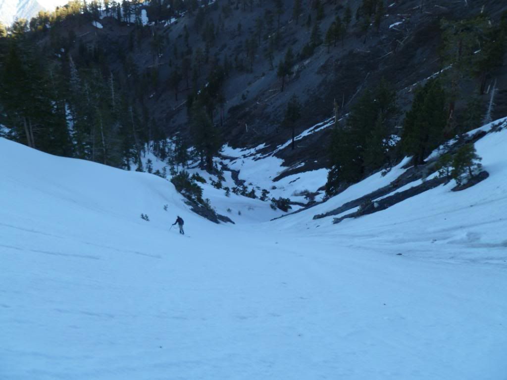
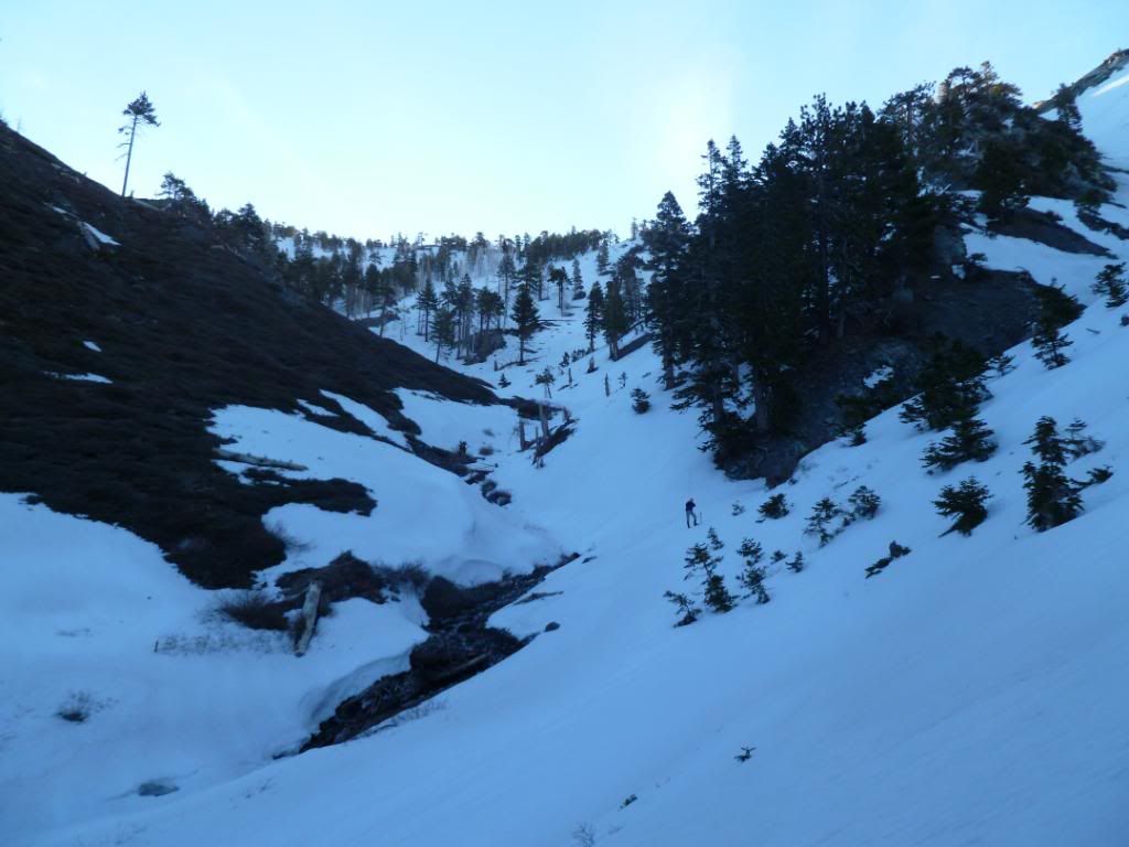
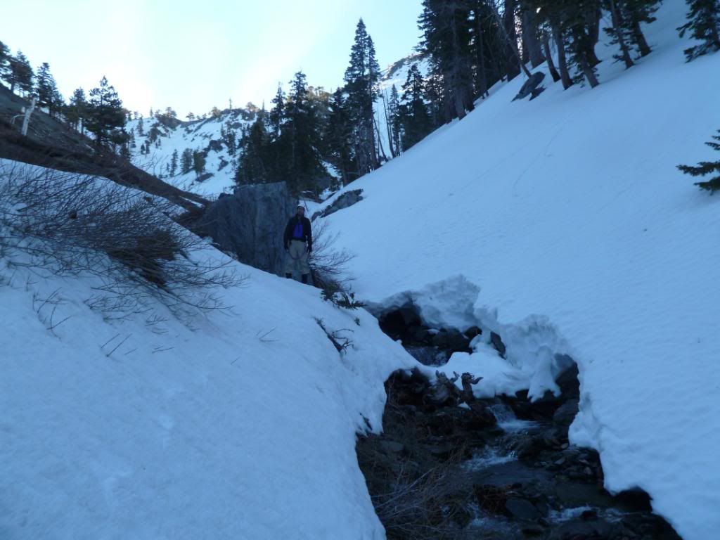
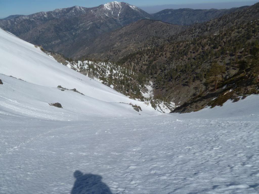
By 7:40 we were in the drainage, some 1,000 feet below the saddle, from there we made our way back and fourth across the creek trying to avoid crashing through the two ice bridges that we used to get across. We followed the contour of the creek downward and around a few narrow spots until we reached a slightly open area where all the different canyons formed a small high mountain meadow, with some of it still buried under the snow and some it exposed. Taking a much needed break, but also not wanting to miss out on the fact that the more we moved up early the less we would have to do in the direct sunlight. Just before 9 AM we were moving again only this time we were finally heading up (the altimeter said we were at the 7,430 foot elevation but it’s a barometric pressure one and that reading could have been off slightly I did calibrate it the night before so it should have been fairly accurate).
We choose the route that was directly to our climbers left, it had only one “crux” that we could see with a water fall in the middle, not more than 30 feet long, with one 10 foot section of rock that required only a simple move to get past. The hardest part was knowing that the water running underneath would soon cause the snow bridge above to give way – this section will be wide open within a week with any temp’s that are warm.
Sam lead the way through this part, sinking in only in two our three spots, once past this we were back on consolidated snow with only patchy ice here and there. Thirty minutes later we reached the inversion layer between “Shade (my friend) and Sunshine (my dreaded nemesis)” and decided to take another break as we had been making great time and I wanted to catch my breath before we completed the other 1,700 feet – we stopped at 8,375 feet.
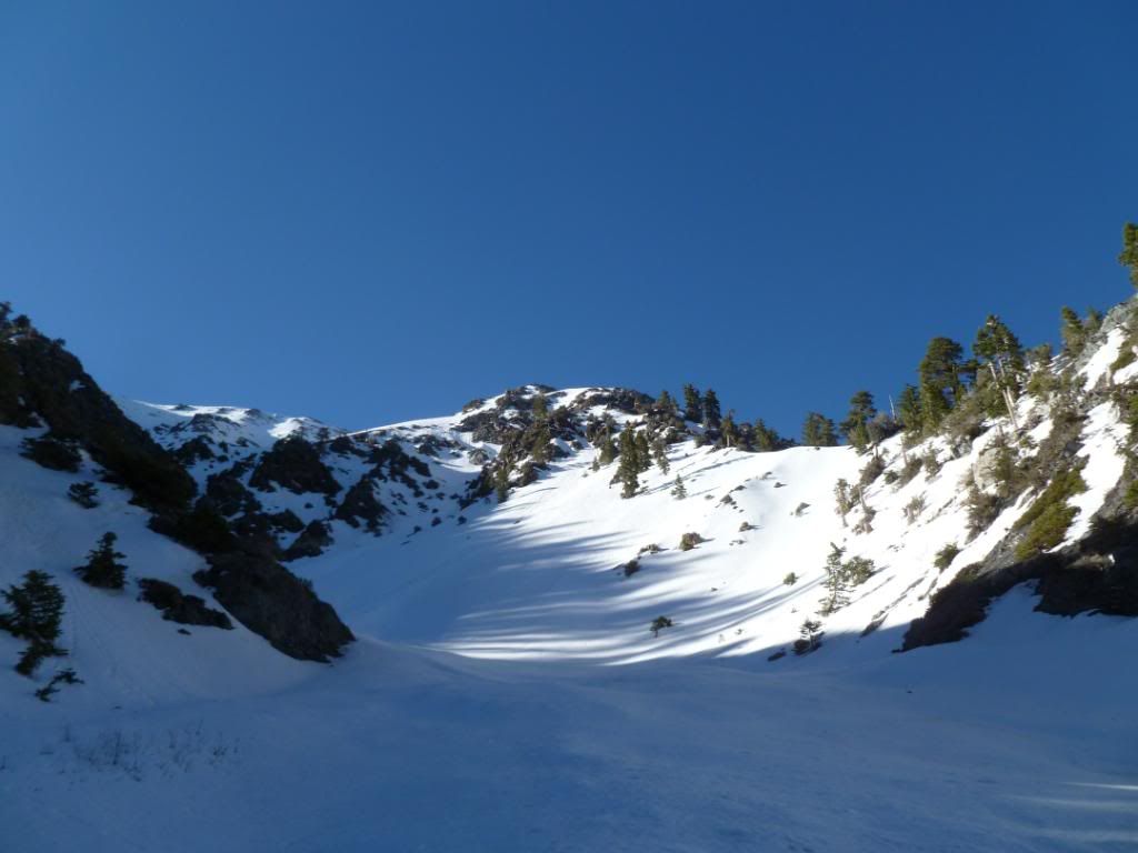
Once we were above the crux the whole north face of both Baldy and West Baldy came into view with only a few rock outcroppings and one large ridge blocking our view of the grand scene.
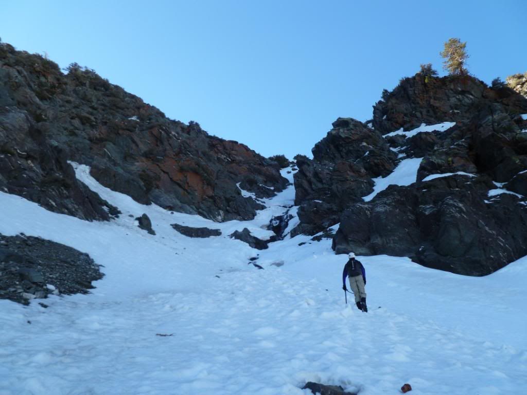
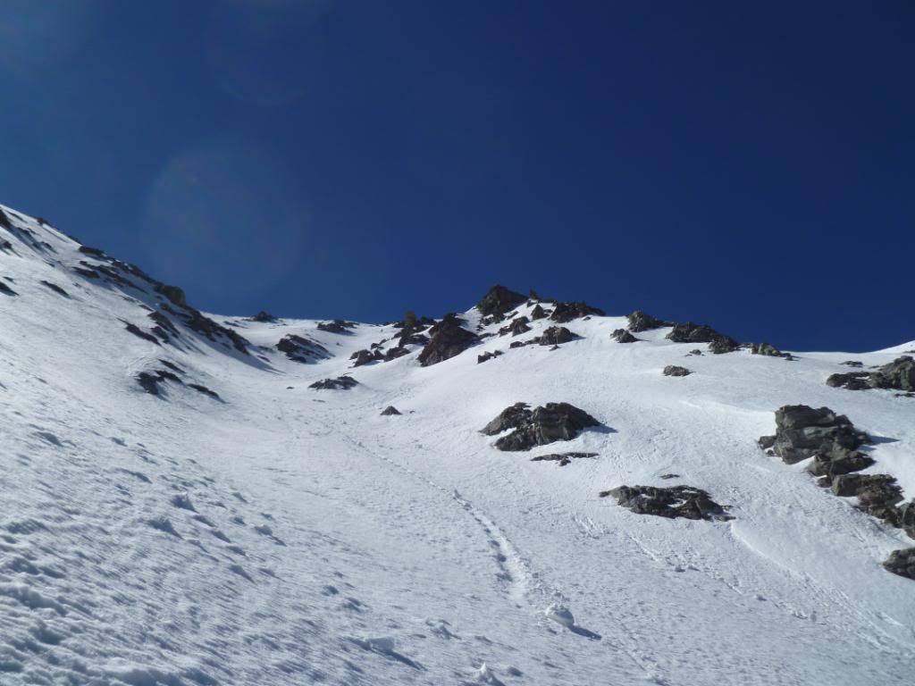
After taking that break we started heading up again with added enthusiasm and determination to keep moving quickly for two reasons, one we didn’t want to post hole if we could avoid it, two with the sun shining so brightly the chances of “rock fall” would increase exponentially. The snow on climbers left was firmer than that on our right, the part on the right was more in the middle of the couloir whereas the stuff on our left was up against a ridge. One thing that Sam kept reminding me was we should not venture too far to our right no matter what, the cornices were rather large over there and after the second reminder I wanted nothing to do with those
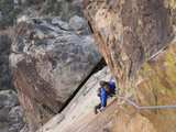
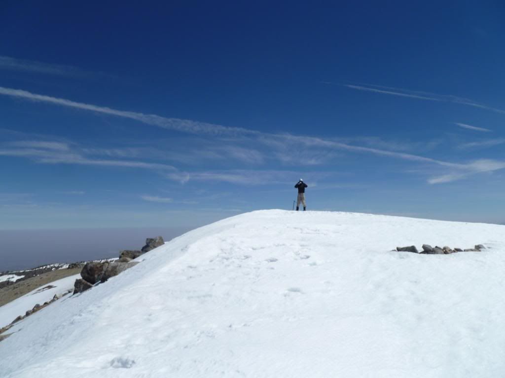
At 11 AM Sam popped up over the top of the ridge and had made it to the summit with me following close behind 8 minutes later, we were about 50 yards apart and pulled out our cameras and took a picture of each other taking a picture of each other, then we celebrated with a high five, dropped into the rock pile at the summit and did the usual fueling up before heading down. The wind was blowing but was not as strong as it had been earlier that morning.
I’ll be the first to admit it, I had a small tear in the corner of my eye, a dream, a wish, a hope from 6 years ago had become a reality, thanks in no small part from all the great people that have allowed me to join them on all the various outings that lead up this (to me) epic climb. I’m humbled to know such great mountaineering people that share the same passion that I do. Thanks to all of you, I hope we can do more of this in the future.
By 1:20 PM we were heading down Mount Baldy road eating the famous Sam Page pretzels (my newest addiction for post hikes
Sun coming over the horizon as we cross the first saddle between Harwood and Baldy, 6:30 AM with Dawson on the left
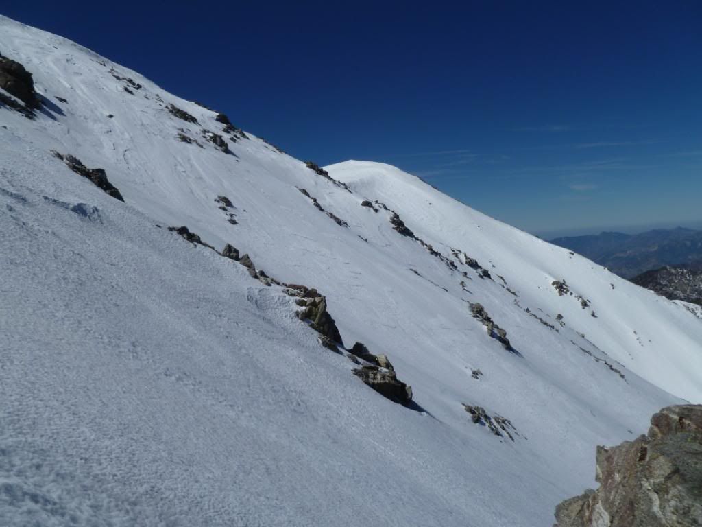
Sam coming across the face of couloir (the North East Face of Baldy) with Harwood on the left and Baldy (out of the picture on the right) and the saddle directly behind Sam.
After dropping below the second saddle (the one between Dawson above and to the left and Baldy up and to the right) I turned around and took this shot of the saddle above us
Halfway down to Fish Fork Now, this is where I tried to glissade (epic fail
We are now down at the creek following it's contours, Sam is in the middle with the saddle up and to the left
Sam crossing one of the two ice bridges, we're still moving down
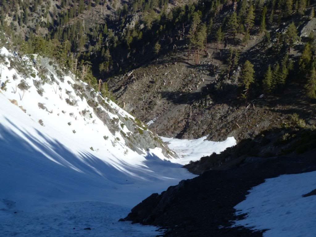
Our first view of the way up, we went around the rocks on the left of the picture, then took that route (that is out of sight) we are standing in the small meadow area where we took a short break
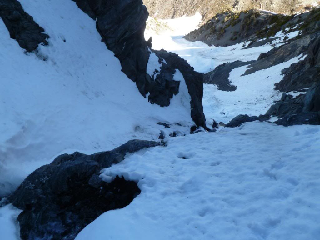
The crux is in the middle of this picture above Sam and to his left, the water was running hard underneath that opening.
At the crux
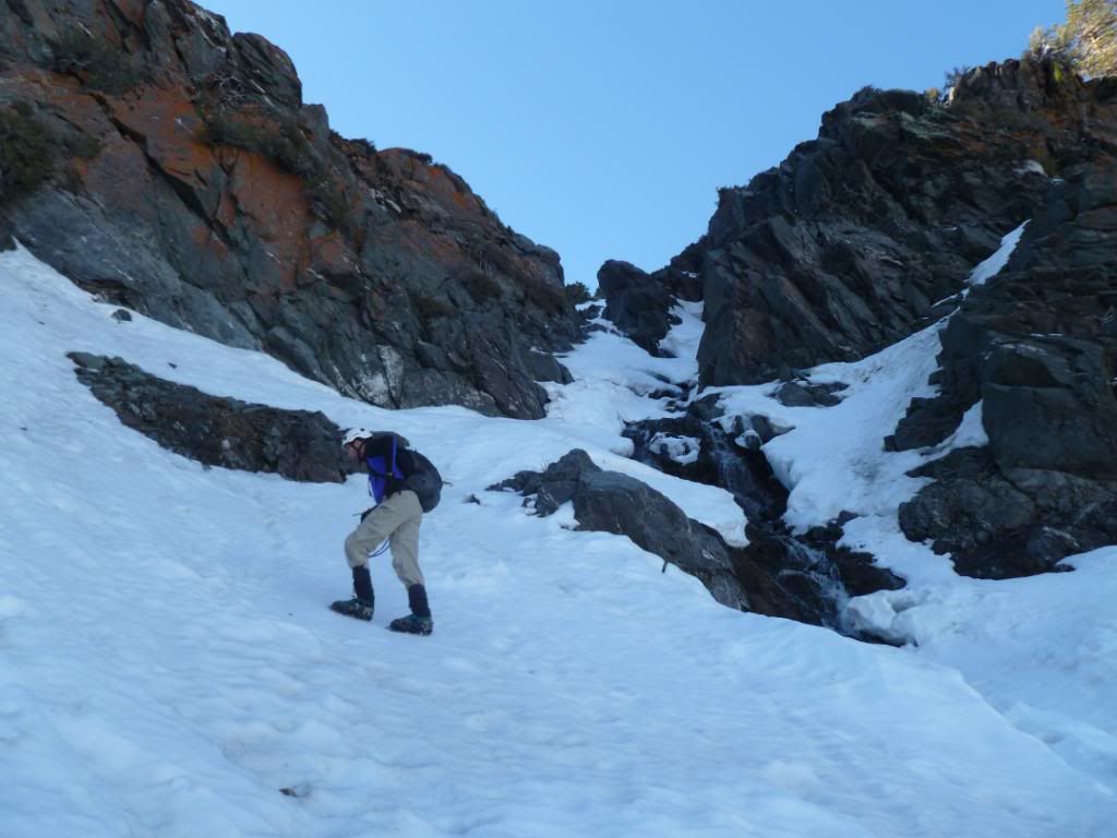
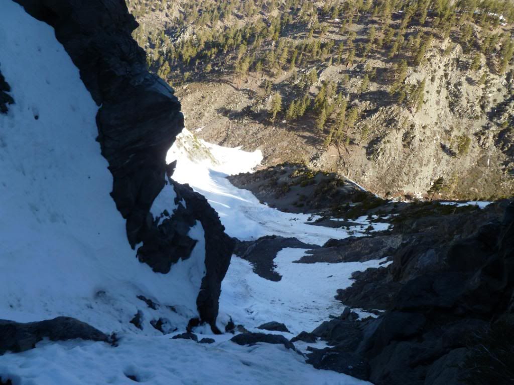
Looking back down as Sam is above me making his way through the Crux
The crux is in the center of this picture, the rock slightly right of center is the one that we had to get past, with ice on it and one gaint step we were through safely, water is running right next to us and under half the snow here
This one shows how steep the upper part of the crux really was
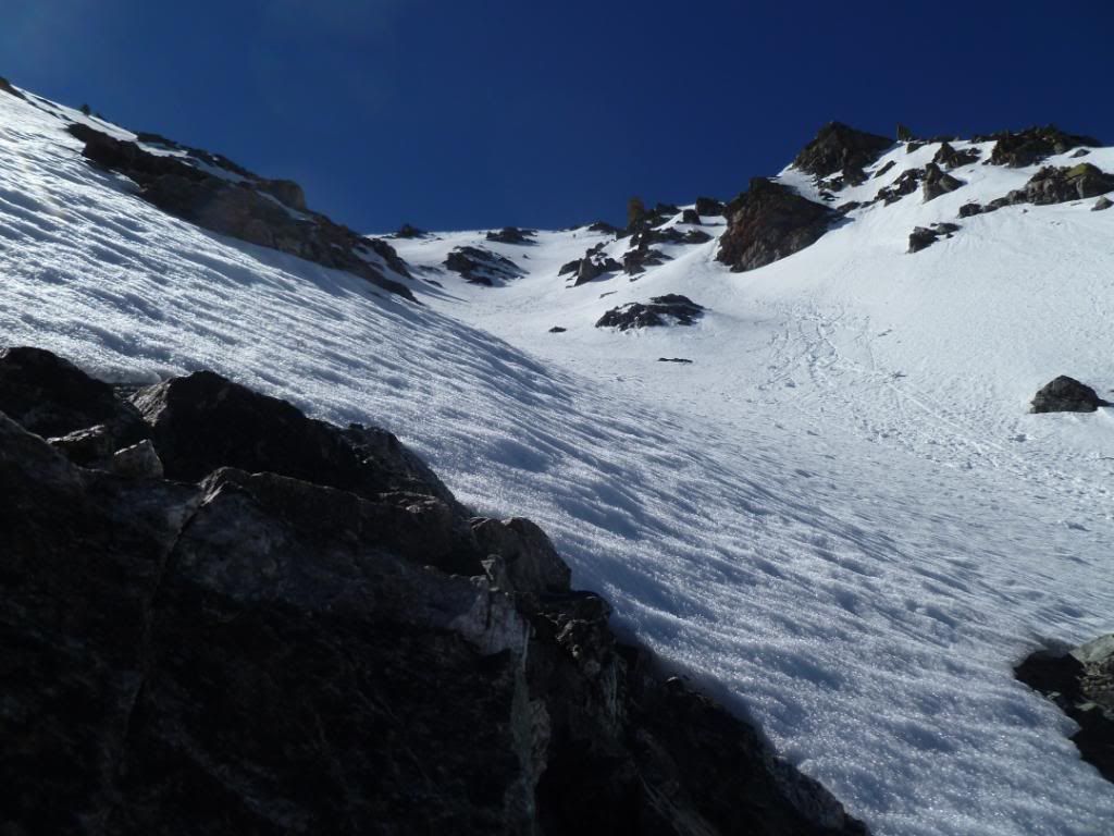
We are in the open "Bowl Area" above the crux, taking a break and this is looking at the slope that leads up to West Baldy across the way from where we are making out way up
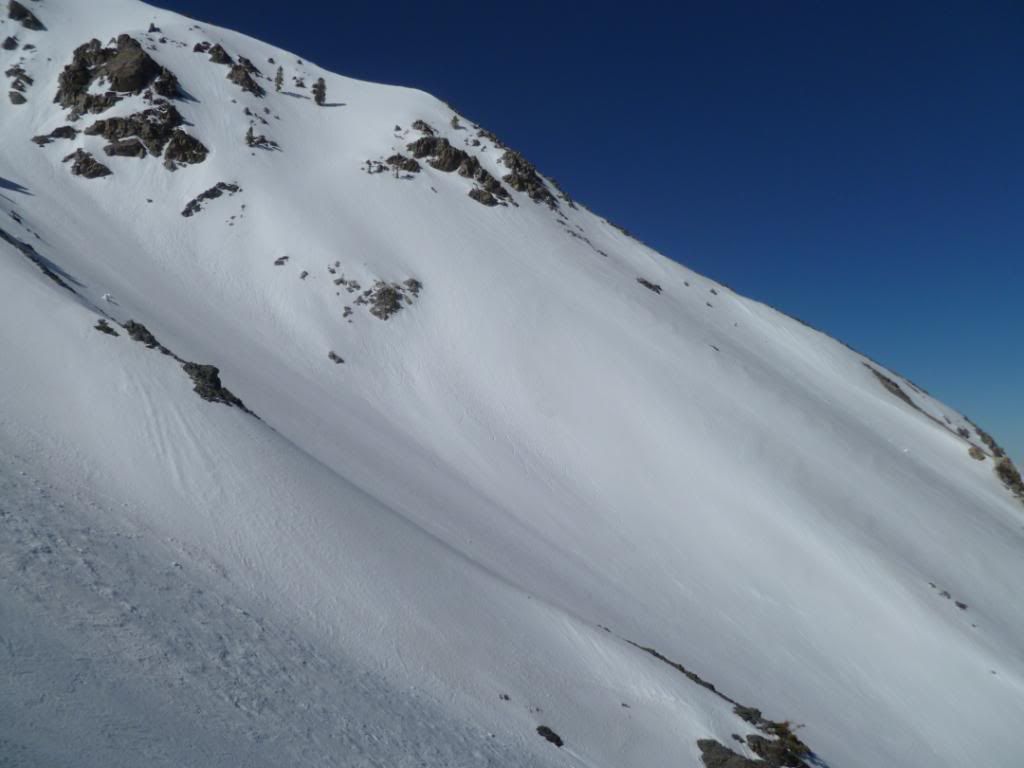
The view towards the summit, with Baldy just up and to the left out of sight from this view and the edge/corner of West Baldy on the right
In case you wanted "perspective" of the steepness, this is looking directly across from the area we took our break at, using the mountains in the background you can see that I'm holding the camera parallel with the actual ground
Another 900 + feet to go, our destination is just left of center
We started up at the dirt meet the snow by the trees at the bottom
I can feel we are getting closer
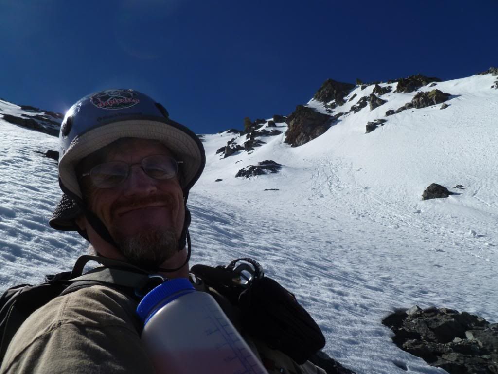
It was getting fairly hot at this point so I put my hat on under my helmet packed with snow to cool down, this always works for me
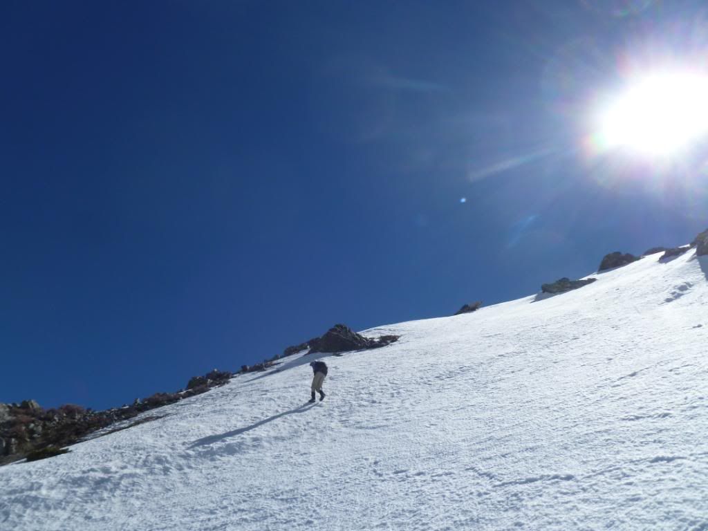
Sam less than 400 feet below the summit ridge
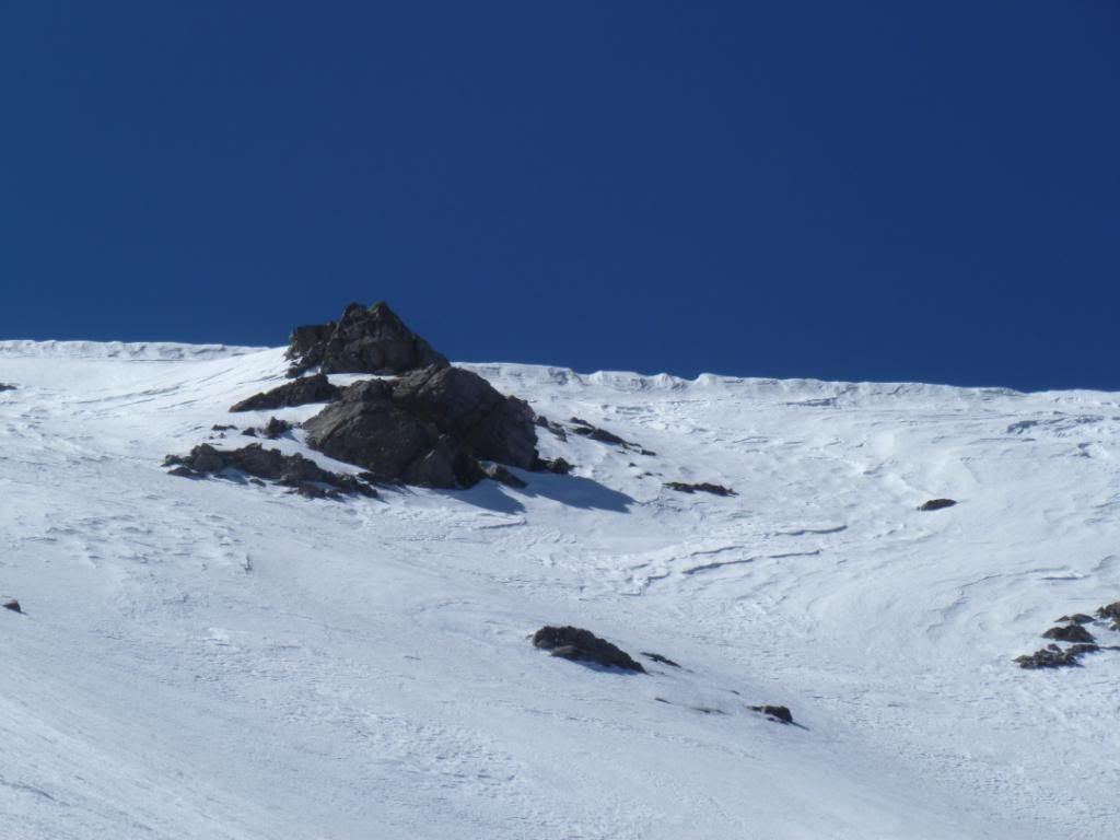
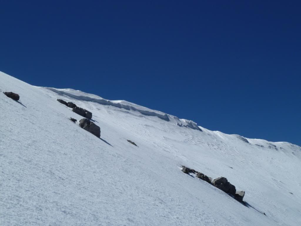
The cornices that are between West Baldy and Baldy
Almost even with the top of West Baldy, almost there
These cornices will not last much longer
Sam taking a picture of me taking a picture of Sam as I topped out, what a great day
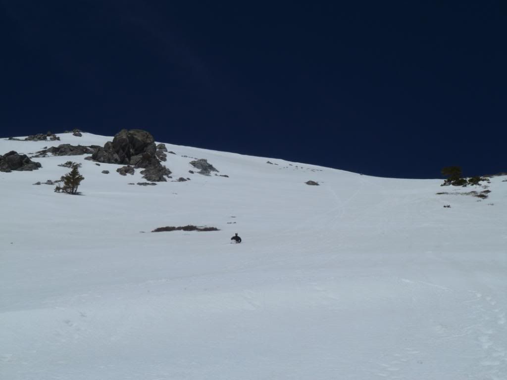
Back on the South Side of Baldy Bowl Sam glissades down three pin alley on our way out, what a classic day
Someone finally put up some rocks to find that pesky hard to find "Ski Hut Trial"
Forgive my first 10 pictures as I had the settings wrong on my camera, the rest of my pictures can be seen here