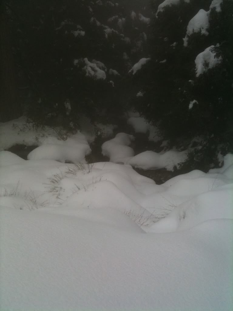
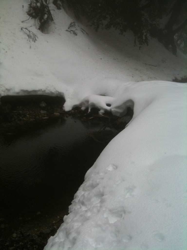
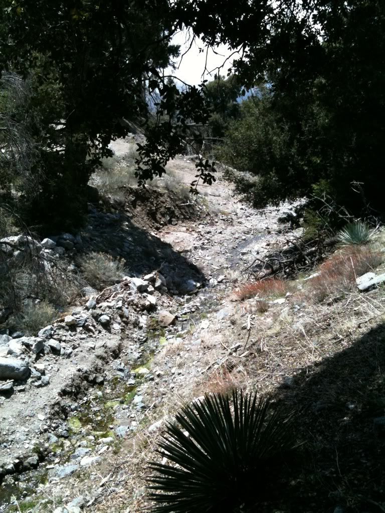
Crystal Lake Loop: 04-23-2011

TRs for the San Gabriel Mountains.
Post Reply
User avatar
HikeUp
Posts: 3861
Joined: Thu Sep 27, 2007 9:21 pm

Post by HikeUp »

Did a loop hike in the Crystal Lake Rec. Area today. Started at the access road to Crystal Lake and headed up the Islip Ridge Trail to where it meets the Big Cienega Trail, at about 7600'. Took the Big Cienega Trail back down to the road that goes through Deer Flat Campground. At the south end of the campground I picked up the Lost Ridge Trail which sorta follows a ridge back down to the Crystal Lake access road, which I followed a short ways back to my car.

Pics.

The Islip Ridge Trail is beautiful, although it can get tough to follow once you get above 7000' (if you lose it, think like a trail and you'll find it - sometimes it has switched back on you). The portion of the Big Cienega Trail I was on has quite a bit of dead fall on it as you leave the ridge but it clears up the lower you go. The Lost Ridge Trail is...um...a pain in the ass. I was able to follow it, mostly, but had to bushwhack and do a bit of route finding in a couple of places where downed trees, etc. obscured things. In need of a lot of cleaning.

The Tom Harrison Map "Angeles High Country" accurately shows all of these trails, especially the Lost Ridge Trail. The topo map that ACME mapper uses, on the other hand, fails spectacularly at accuracy for any of the trails I was on - ACME FAIL!

See the first six pictures linked above for a description of how to find the trail head for the Islip Ridge Trail - will help avoid the scrambling some of you have described in your TRs. More info in the titles and description of the pictures in the link above. I hope to add a GPS record too - if I get around to it.

Great views of Twin Peaks...
Image

Was hoping to run into Hikin_Jim out there today but our schedules and routes didn't cross. Hope you had fun HJ!
User avatar
Illusive
Posts: 115
Joined: Fri Jan 28, 2011 2:19 pm

Post by Illusive »

Cool, thanks for showing the route to the start of the ridge trail.
User avatar
Mike P
Posts: 1005
Joined: Tue Oct 02, 2007 10:48 pm

Post by Mike P »

Thanks, Hikeup. The pics are tremendously helpful!

Is there water or a creek near Deer Flats? I am wondering about a future backpack for my scout troop.
User avatar
HikeUp
Posts: 3861
Joined: Thu Sep 27, 2007 9:21 pm

Post by HikeUp »

Goofie Earth view of GPS track (I cleaned it up a bit)...
Image

Image

Full size images on Flickr page linked in first post.

Illusive: The trail makes it possible to avoid any scrambling but it also avoids views of the Lake! :?

MikeP: Sorry but I don't have any info on water in the Deer Flat area except that I definitely heard a stream running somewhere in the area!
User avatar
Illusive
Posts: 115
Joined: Fri Jan 28, 2011 2:19 pm

Post by Illusive »

Mike P wrote: Thanks, Hikeup. The pics are tremendously helpful!

Is there water or a creek near Deer Flats? I am wondering about a future backpack for my scout troop.
We saw 2 creeks/streams running when there was still 2-3' of snow on the ground. Which was March 26th.

They were at points "A and "B" respectively on this map

http://mapper.acme.com/?ll=34.33479,-11 ... tains%20CA

Point A photo:
Image

Point B photo:
Image

I also saw water running on April 19th at point C on the map

Point C photo:
Image
User avatar
Mike P
Posts: 1005
Joined: Tue Oct 02, 2007 10:48 pm

Post by Mike P »

Thanks guys! That's very helpful. It looks as though Cedar Creek north of Deer Flats ought to have water.
User avatar
Burchey
Posts: 304
Joined: Tue Dec 28, 2010 11:28 am

Post by Burchey »

Great pics, I love the clouds in them hills. Also, every time I see your avatar beer, it makes me thirsty.
Post Reply