Three Points - West Twin- Waterman

TRs for the San Gabriel Mountains.
Post Reply
User avatar
Elwood
Posts: 612
Joined: Fri Aug 15, 2008 5:23 pm

Post by Elwood »

Jake was jonesing for some forest and a little snow. After negotiating the ever-so-convenient Big Tujunga, Upper Big Tujunga ACH bypass, he parked at the nearly empty Three Points lot and was on the hoof at 0625. Jake followed the Waterman Trail, descended to the Twin Peaks saddle at the Buckhorn Trail cutoff, crossed the saddle and took a fairly direct route up the snow-covered north side between the twins. The snow was sufficiently consolidated that crampons were perfect. His axe handle was nearly fully consumed by the snow for most of the ascent. The head-swarming insects were truly horrible, mitigated by the sanity-preserving, uncomfortably hot black-net hat. There was snow-melt flowing vigorously everywhere. The Buckhorn trail disappeared under snow, so Jake descended the adjacent gully directly, and could hear the water flowing underfoot, under-snow quite often. He walked up the crest highway and picked up the PCT at Cloudburst Summit. Following the three Pacific Crest Trail highway crossings he was back at the car around 1625. Jake remarked at the general dearth of wildlife (though he noted a modest number of small Mule Deer tracks) and the amazingly pervasive fragrance of the sun-warmed forest.

Image
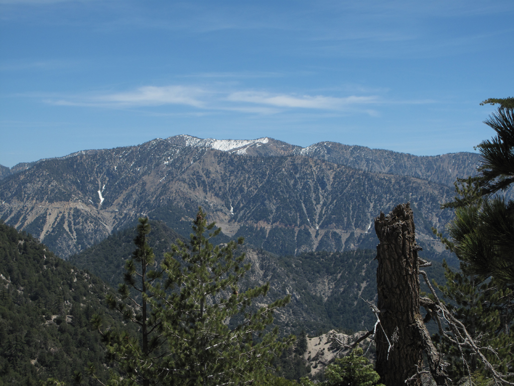
Strawberry and Josephine catching the morning sun.

Image
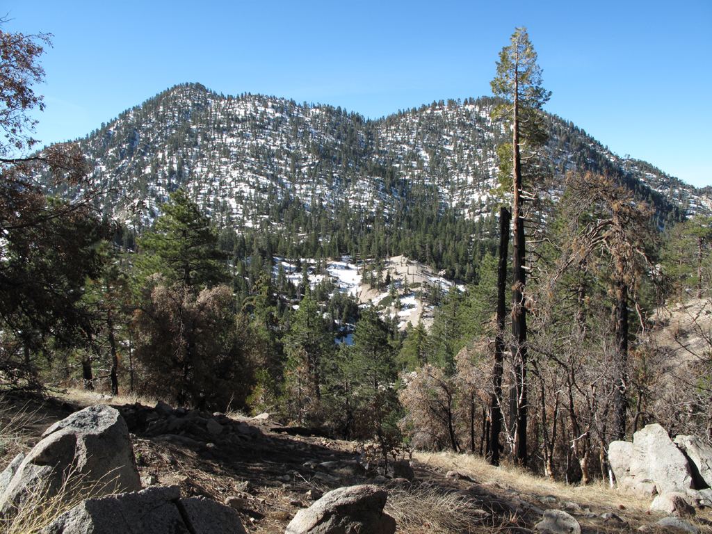
The twins, seen from the Waterman trail before descending to the saddle.

Image
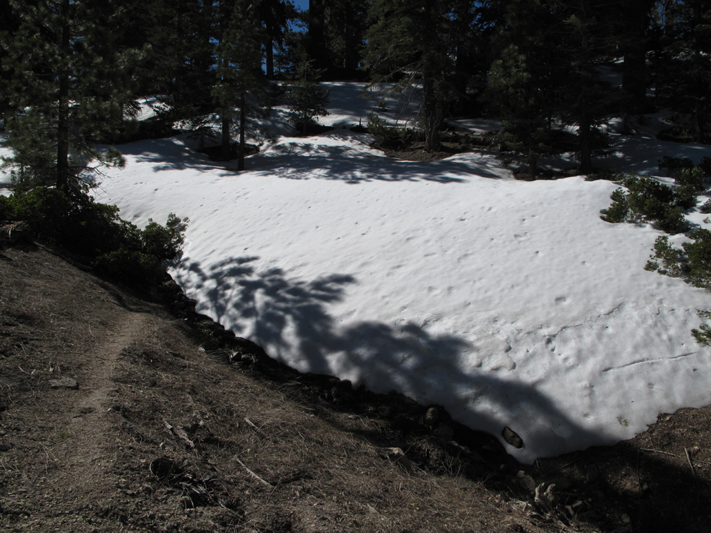
Abrupt end to dry trail, time for crampons.

Image
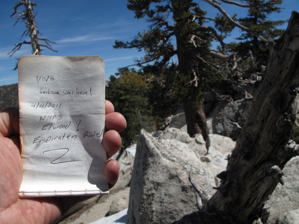
Register just below the block on West's summit.

Image
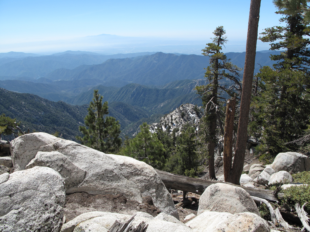
Looking down into the top of the West Fork, San Gabriel River.

Image
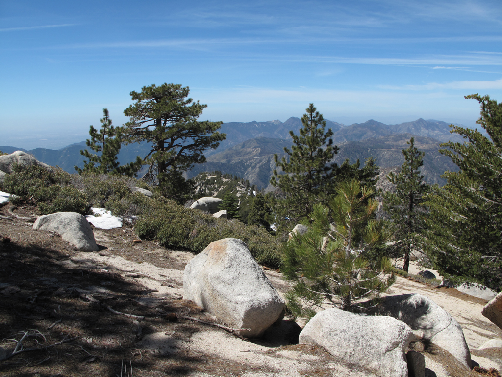
Looking out towards the front range, from Twin Peak's west summit.

Image
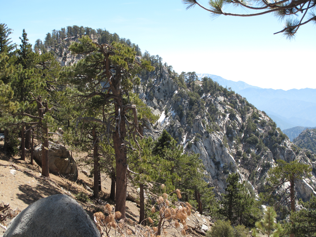
Craggy south side of the taller east summit.

Image
Highway 39, Mount Islip, Mount Hawkins, Throop, et al.

Image
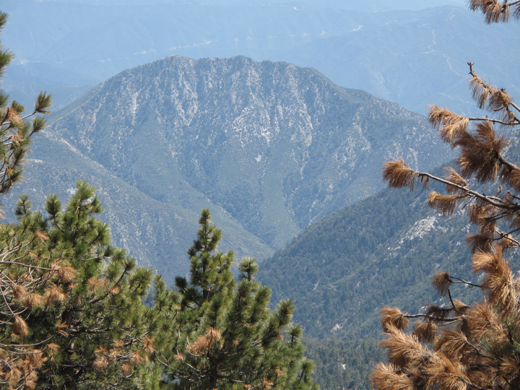
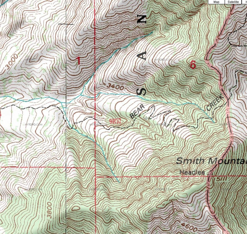
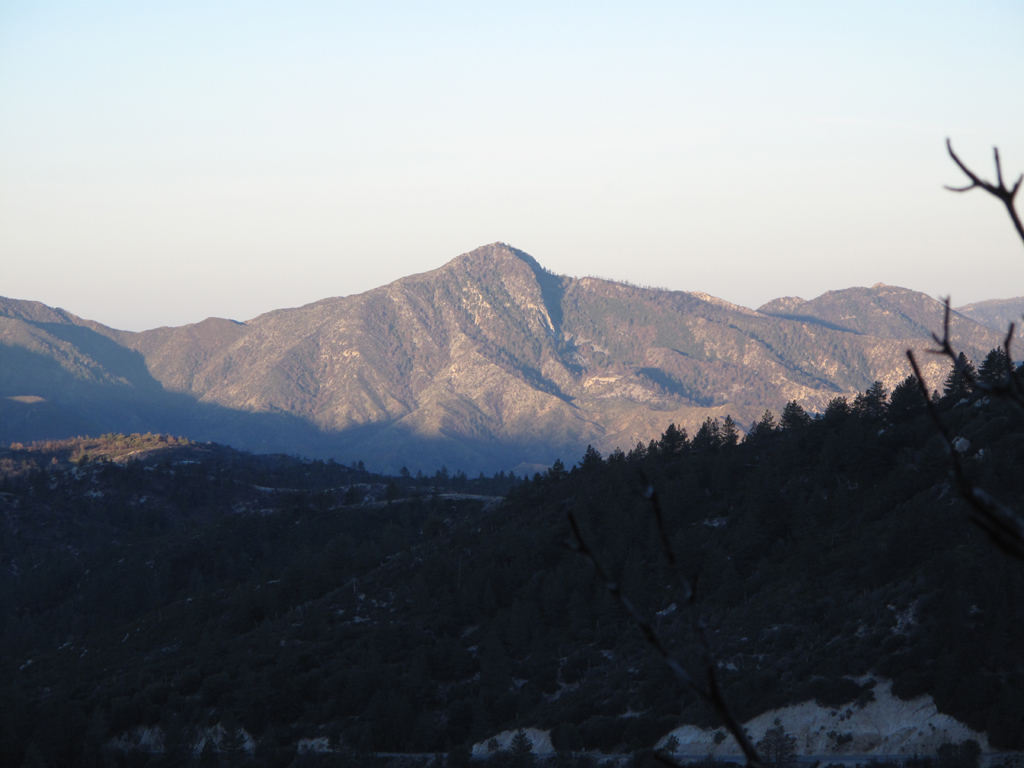
Smith Mountain, as seen from Waterman Mountain.

Image
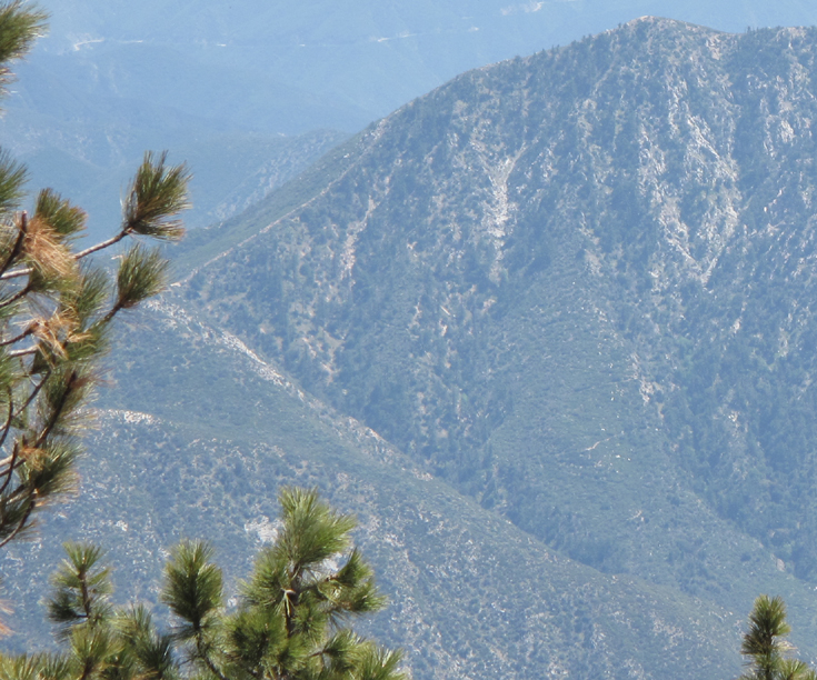
Though difficult to discern in this cropped JPEG, there's clearly a trail or its remnants switching back down this buttress. It appears to connect to a spur from the main Smith trail.

Image
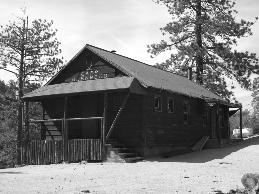
For all you PCT fans. This picture was just asking to be monochromed.

Image
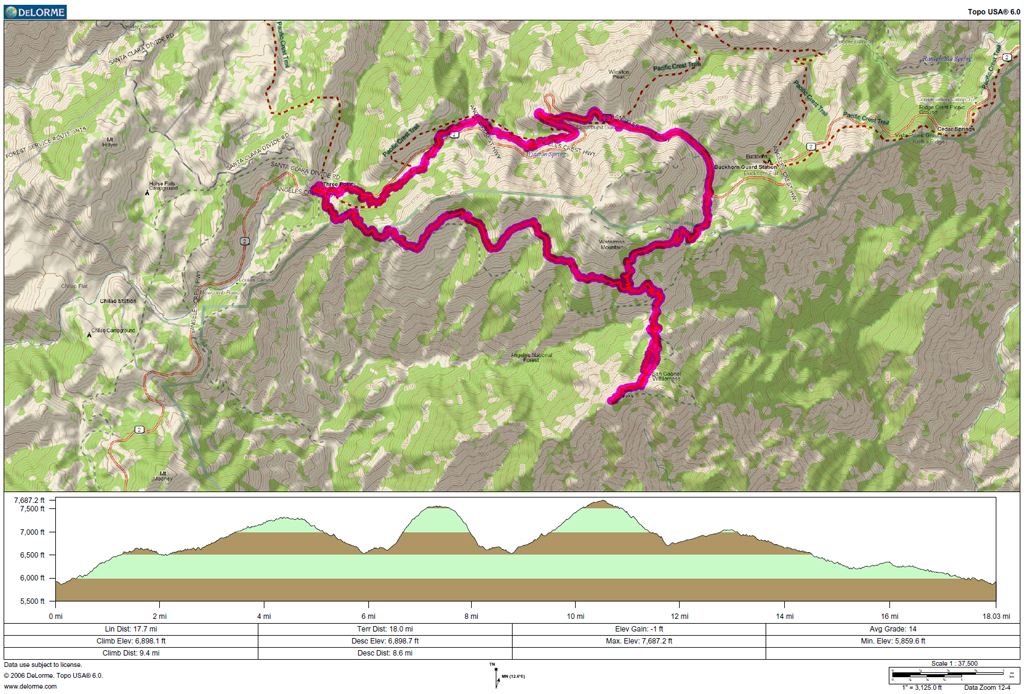
GPS track and elevation plot.
User avatar
RichardK
Posts: 727
Joined: Sun Sep 30, 2007 12:33 pm

Post by RichardK »

A nice day's exercise: 18 miles with 6898' of vertical gain. Thanks for posting!
User avatar
HikeUp
Posts: 3861
Joined: Thu Sep 27, 2007 9:21 pm

Post by HikeUp »

Cool stuff Jake.

I almost headed out to three points on Sunday, but I hadn't finished my taxes yet - doh!

Much snow on the north side of Waterman or Waterman's west ridge?
User avatar
HikeUp
Posts: 3861
Joined: Thu Sep 27, 2007 9:21 pm

Post by HikeUp »

Um, not sure but do you have east and west twin backwards?
User avatar
lilbitmo
Posts: 1092
Joined: Tue Mar 04, 2008 9:44 pm

Post by lilbitmo »

Jake (and Elwood),

Zach and I were talking about you on the way back from the Taco birthday party - as we drove by the Lytle Creek area I said wonder what Elwood is doing? He's been kind of quiet lately - you're ears must have been burning :shock: :D

Good to see you were back out, Great TR, I miss doing sections of the PCT and I'm glad someone posts TR of them, thanks.

The north side of the San Gab's make for perfect spring hiking :D
User avatar
Elwood
Posts: 612
Joined: Fri Aug 15, 2008 5:23 pm

Post by Elwood »

Why yes indeed Mr. HikeUp I have once again swapped east for west...Editing accordingly.
User avatar
AW~
Posts: 2044
Joined: Mon Oct 01, 2007 12:00 pm

Post by AW~ »

Go Jake! That was a huge route again.
User avatar
Hikin_Jim
Posts: 4686
Joined: Thu Sep 27, 2007 9:04 pm

Post by Hikin_Jim »

Nice trip, Jake.

Thanks for the photo of Smith Mtn. I was over on Smith last weekend. The photo you posted make is look more like the named summit really is higher than the summit to the SW. Interesting about that trail on the "buttress." I wonder if it's just a switchback on the main trail down into to Bear Creek?

Cool stuff. I gots to gets out there soon.

HJ
User avatar
Elwood
Posts: 612
Joined: Fri Aug 15, 2008 5:23 pm

Post by Elwood »

I guess that is the normal Bear Creek trail up to the Smith saddle. I was last on that trail 2008/05/31 and have since forgotten those switchbacks. I remember following the creek bed a ways past the primitive trail camp and getting myself disoriented. Thanks for refreshing the memory.

Image
User avatar
Mike P
Posts: 1005
Joined: Tue Oct 02, 2007 10:48 pm

Post by Mike P »

Niiiiiiiice! Thanks for the pics! Love that trail. Thank Jake for me ;)
Post Reply