

My friend John and I started up Big Butch Wash toward Lightning Couloir at 7am. We briefly thought about climbing it since it was very calm that morning (no rockfall), but as soon as we got to the turnoff to Miner's Bowl, a deluge of rocks started raining down. Man, it's like a big giant garbage chute.
At the first chute we found, we climbed it to gain the ridge to Thunder Mtn. The snow was a bit soft, sinking about 3-4" with crampons. Up on the ridge we could see the train of people heading up Baldy Bowl.
Our next objective was Telegraph. We were feeling good so we decided to attempt the north face. I was worried about avalanches so I did some stability tests near the saddle, which were sort of inconclusive. I've only taken one Level 1 class last year so I'm definitely no expert, and it's hard to know later if your decision was right or if it was just dumb luck. Anyhow, we used safe travel techniques like one man crossing, etc.
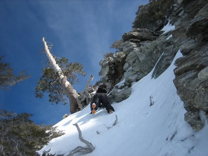
We were hoping to climb the center chute, known by ski mountaineers as the "Easy Way" and pop out at the very top. I was pretty sure we had entered the right chute, but at 100 ft from the top, I started second guessing myself. I decided we should climb towards a bare tree on the ridge to our left to do a recon. From below, it looked like an easy climb, but this turned out to be the crux of the route for us. This 20-30 ft section was the steepest yet and was iced over much more than the rest of the route.
But we made it and were rewarded with incredible views. On the way down we made several interesting discoveries in various remote locations.
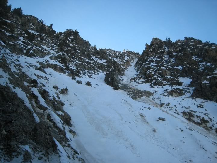
Lightning Couloir to our right:
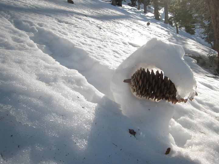
A real "snowcone"
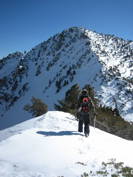
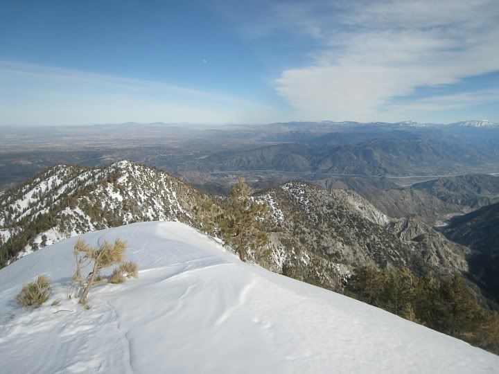
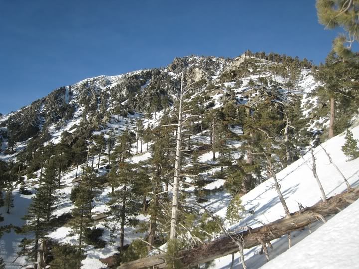
Off to Telegraph
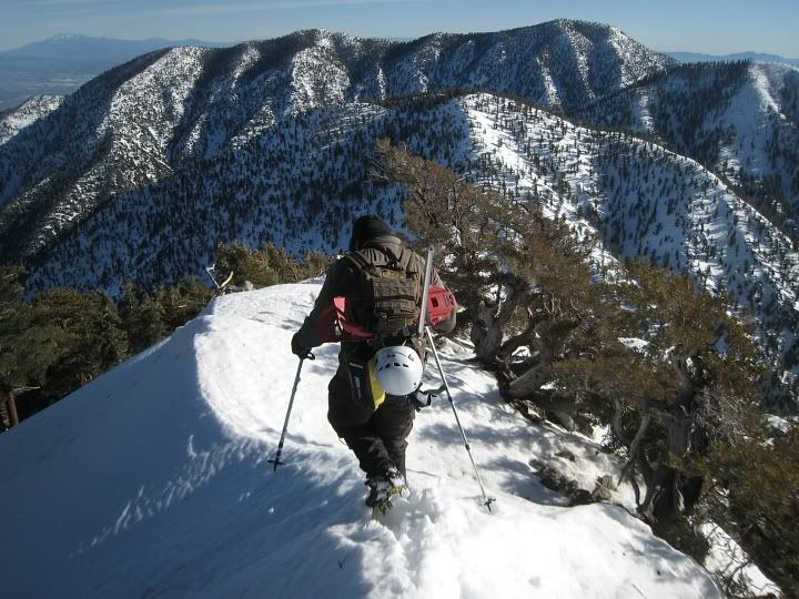
John climbing
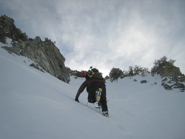
The steep section towards the bare tree:
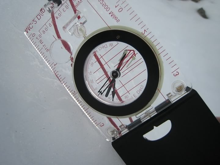
That steep section was 48°. Most of the chute was 40-42°. I went and measured the very top of the chute where it looks crazy steep but its really just about 42°.
Almost there
Signing the register
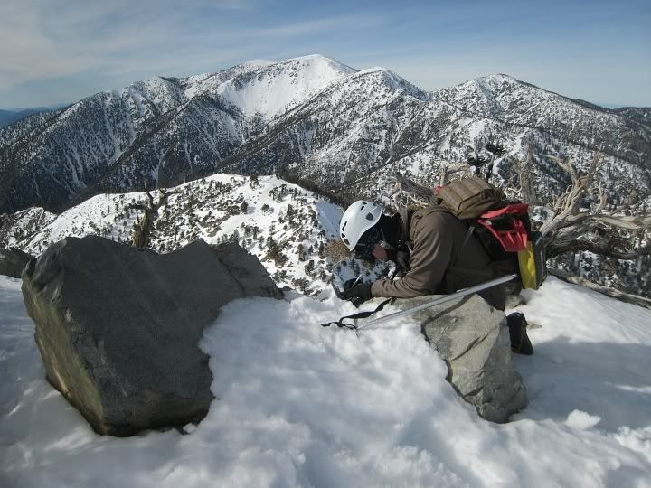
Nice views
Heading home
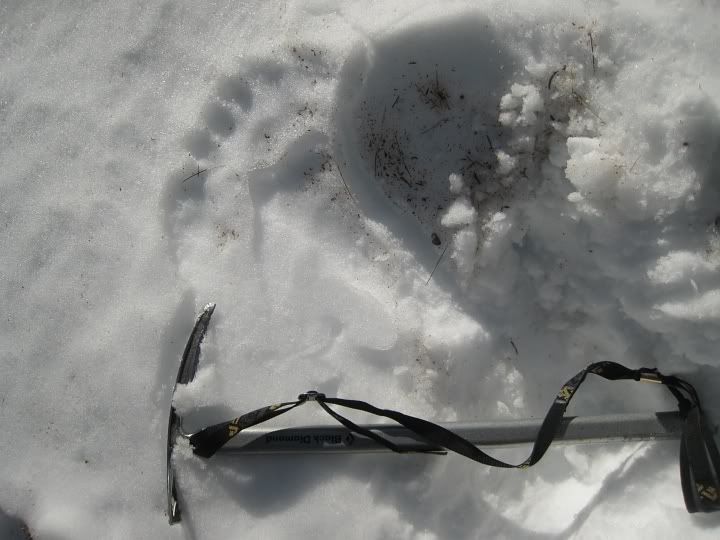
Bigfoot lives in the San Gabriels!
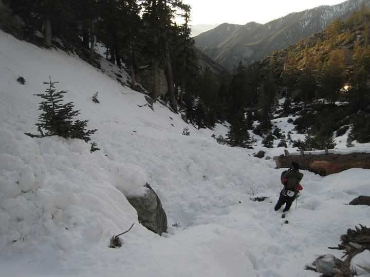
Found remnants of an avalanche
Telegraph south slopes looking bare
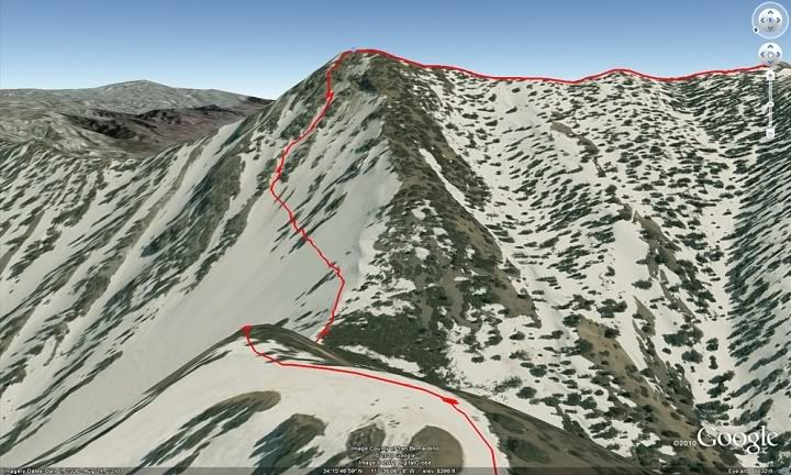
Our route up Telegraph
Video recap:
