Baldy - Backbone - 3Ts - Cucamonga - IHS - Ontario

TRs for the San Gabriel Mountains.
Post Reply
User avatar
Elwood
Posts: 612
Joined: Fri Aug 15, 2008 5:23 pm

Post by Elwood »

Turtle and I decided it was time for casual hike in the Baldy-Cucamonga area so...

Early Saturday morning, September 18th, Turtle and I dropped a car at the Icehouse Canyon lot and continued on up to Wanker Flat. We were on the hoof to the Ski Hut Trail around 0425. Temperatures were in the mid-fifties; very comfortable in shorts and a t-shirt. We reached the Baldy summit a few minutes past seven. Following a short break we hiked down the Devil's Backbone to the notch, just in time to grab the first egg sandwiches off the grill at the Top of the Notch.

We next took a leisurely stroll across the Three Ts trail to Icehouse Saddle. Temperatures were definitely headed northward, mitigated somewhat by the occasional breeze. The saddle was quite crowded, with groups of all sizes scattered about. Hikers continued to flow in as we grabbed a quick snack and rested.

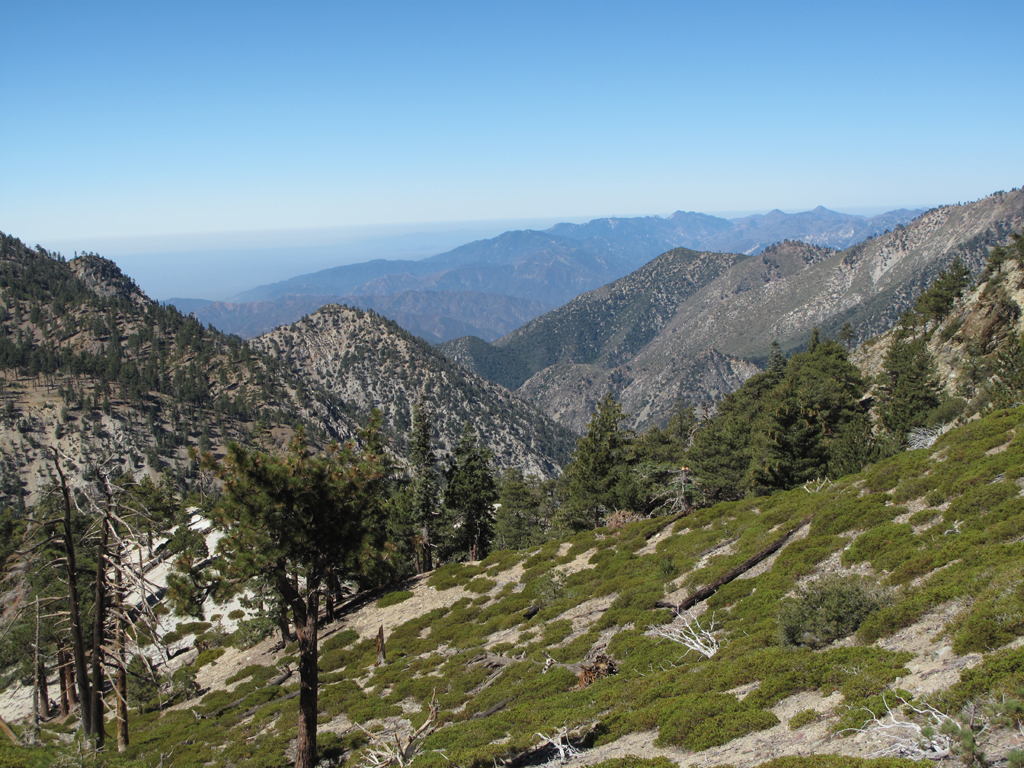
After leaving the throngs, we took a straight pull up to Cucamonga. Turtle and I were chillin' on that summit roughly an hour and a half later. The views were great in the mountains, though the valleys were filled with a light haze.

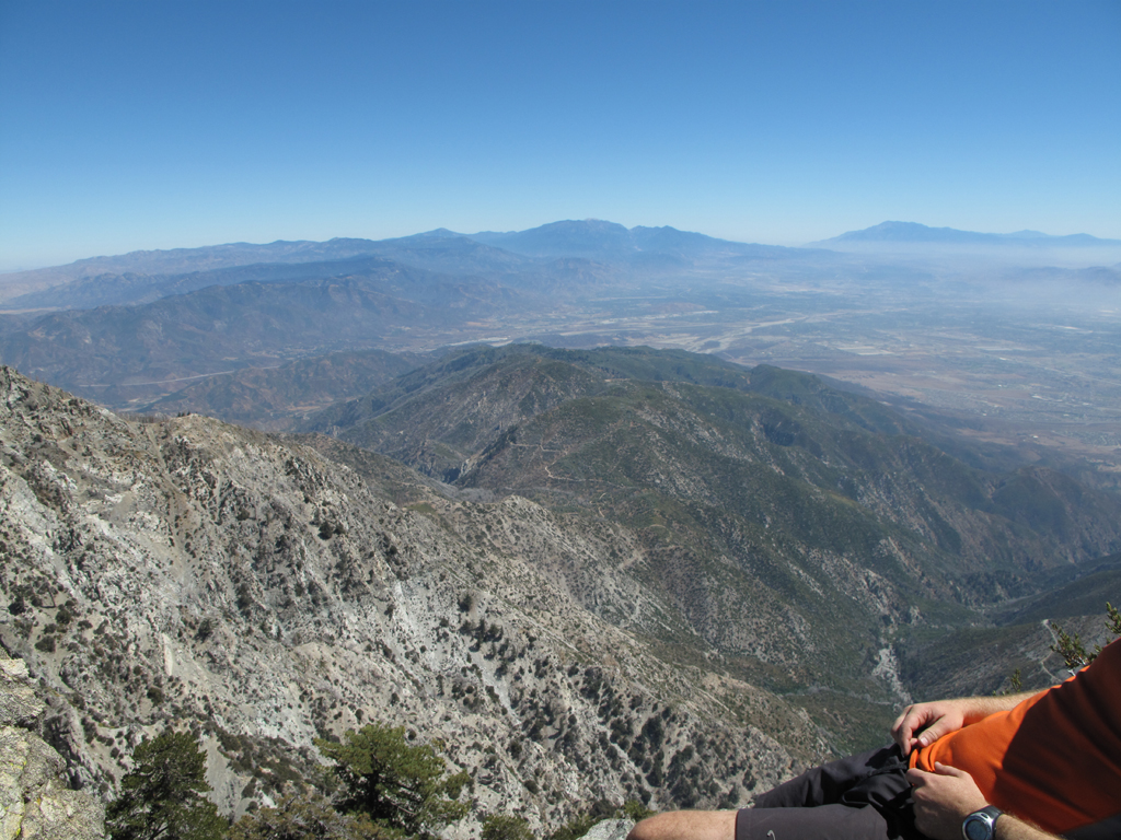
We next dashed back through Icehouse Saddle, continuing on through Kelly's Camp up to Ontario Peak. We lost track of the number of club hikers descending from Ontario. There had to have been twenty or more spaced out along the normally desolate trail.

The dearth of water at Kelly's was a bit problematic. Luckily both Turtle and I were aware that this would likely be the case. I saved my last liter for the descent to Columbine (stupidly not drinking through the hot ascent from Kelly's). I think Turtle's supply made it back to Icehouse Saddle. We refilled our reservoirs at the spring, and though usually pretty cavalier about treating the springs in the Gabriels, I suggested iodine tabs due to the extensive "human activity" in the area.

I trudged back up to the Chapman Trail while Turtle went on ahead to do laps between the saddle and Chapman until I arrived. It remained HOT until the sun cleared the canyon. It was finally dark enough to don headlamps when we reached the funny guardrails near the bottom of the Chapman Trail.

Turtle and I reached the shuttle car just before 2000, following a delightful fifteen-and-change hours hiking.

Image
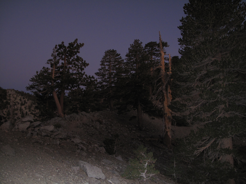
Sunrise just beginning to light the Ski Hut Trail.

Image
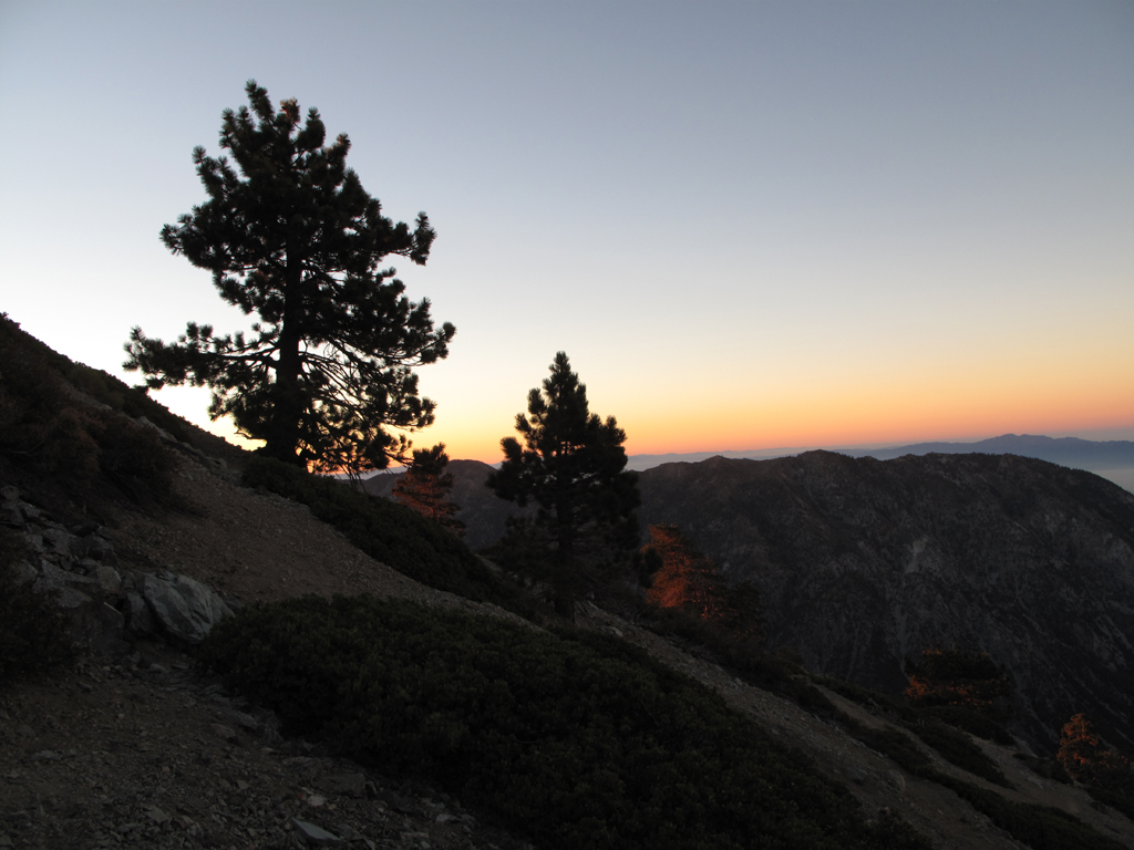
Old Baldy's trees aglow.

Image
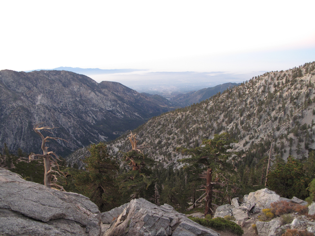
Morning view down San Antonio Canyon.

Image
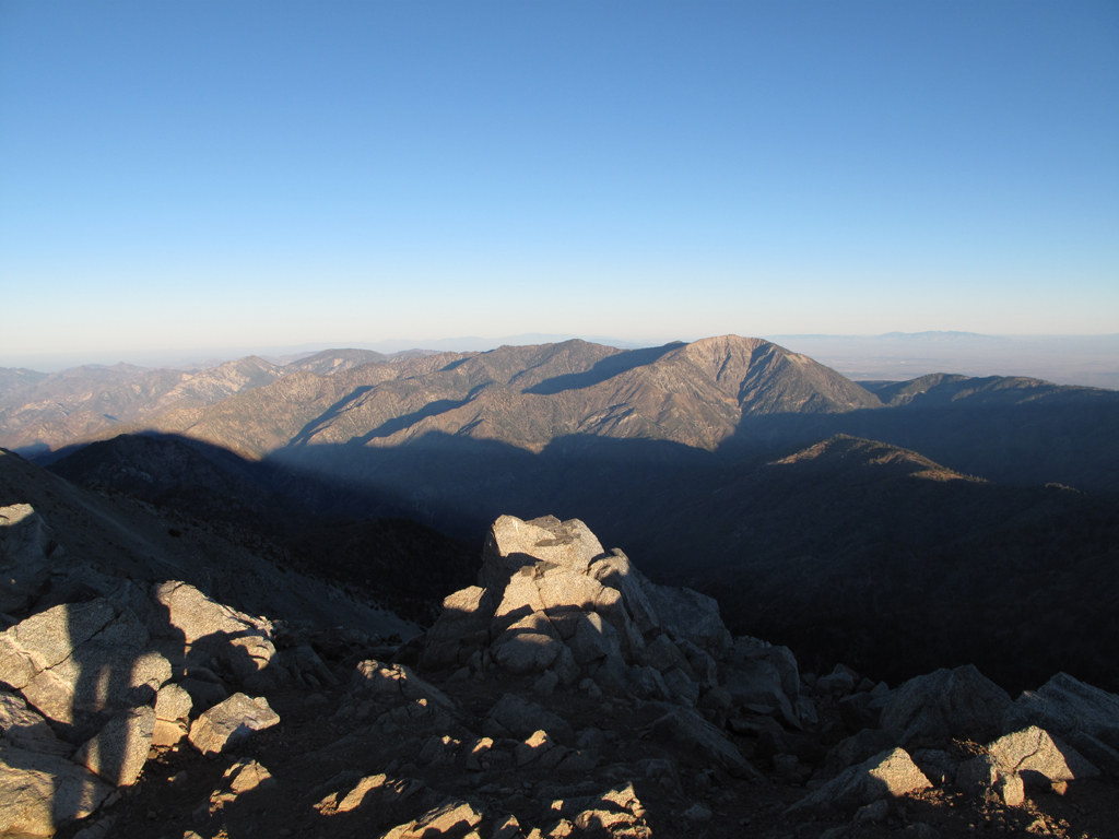
Old Baldy's morning shadow receding from Mt. Baden-Powell and Fish Fork.

Image
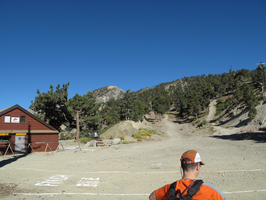
Setting off for the 3Ts trail after a little breakfast.

Image
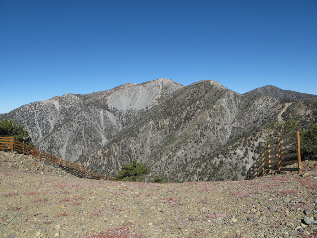
Mts. San Antonio, Harwood and the Devil's Backbone, seen from the top of the South Bowl Chutes.

Image
Cucamonga Peak and Timber Mountain as seen from Telegraph.

Image
Ontario Peak as seen from Telegraph.

Image
View from the Telegraph-Timber saddle towards Mt. Wilson.

Image
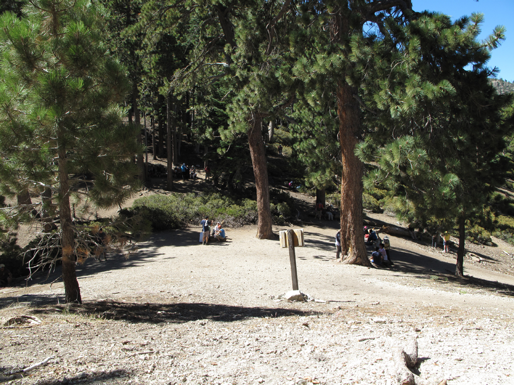
A very busy Icehouse Saddle.

Image
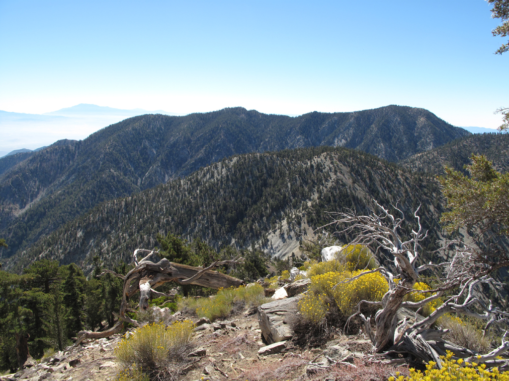
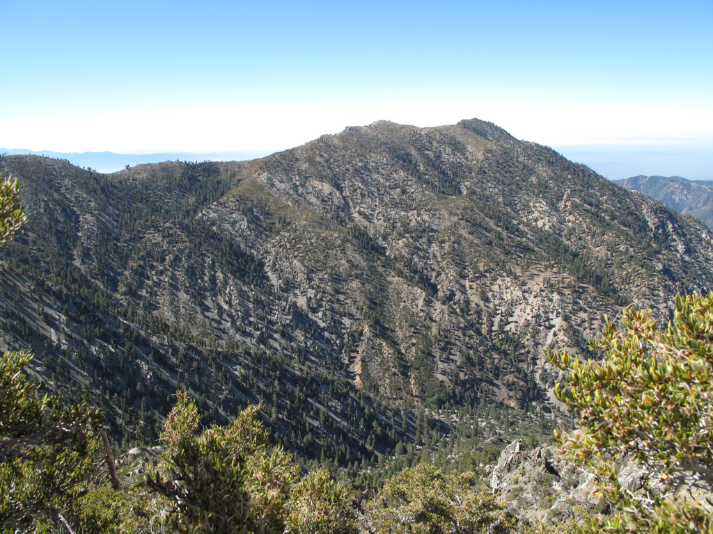
view towards Mill Creek from Cucamonga summit.

Image
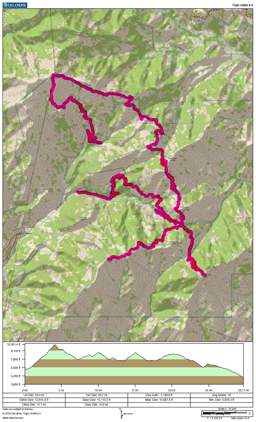
GPS track and elevation plot.
User avatar
cougarmagic
Posts: 1409
Joined: Wed May 07, 2008 5:21 pm

Post by cougarmagic »

Nice!! Great photos as usual.

So, what does it feel like to hike 29.71 miles? Do you have times where you feel beat, or is it all just wonderful?
Turtle went on ahead to do laps between the saddle and Chapman until I arrived
:shock: :lol: :lol:

I'm asking because my top mileage (in a day) ever is about 18. I could add a couple more, but I wouldn't be enjoying it I think. I want to know if your feet hurt, if you get tired, etc. Cause us mere mortals do!
User avatar
RichardK
Posts: 727
Joined: Sun Sep 30, 2007 12:33 pm

Post by RichardK »

I think you may have passed us coming and going as we trudged up Ontario Peak. Look at the trip report for the Palisade Glacier for our picture. Ontario does not normally get as much traffic as it had Saturday. Maybe the Evergreen Hiking Club had an Ontario day??
User avatar
Bill
Posts: 332
Joined: Thu Jul 24, 2008 6:09 pm

Post by Bill »

I'm thinking turtle did'nt get his name due to his lack of hiking skills. Just saying. :lol:
User avatar
Elwood
Posts: 612
Joined: Fri Aug 15, 2008 5:23 pm

Post by Elwood »

Ms. Magic,

I find long day hikes, like this 29-and-change mile beauty to be fulfilling as well as physically demanding. I've discovered through much experimentation that maintaining a comfortable pace, near the upper range of aerobic exertion, is sustainable seemingly indefinitely, provided adequate nutrition and periodic rests are taken. Impairments that are nuisances at a few miles, painful after more miles, can become debilitating or damaging when you need to hike out ten or more miles. Hence I try to be deliberate and maybe a hint slower on irregular terrain. When Turtle suggested this hike, I was adamant regarding the pace, and we were both comfortable with the opportunities for bailing out with cars parked at both Manker and Icehouse. To answer the question more directly; sure there were times that fatigue set in, but there was never any hesitation to set off to the next peak. We also could have easily continued down a nearly empty Icehouse Canyon Trail instead of toiling back up to Chapman and completing our planned route. Today I'm a little sore, but that's it. I'll probably be heading up the usual Brand route tomorrow, maybe groaning a little more. BTW we successfully avoided the summit of Harwood, only got a proximity summit of Thunder, thumbed our noses at Telegraph, Timber, and Bighorn. NHPS RULES!

Mr. K:

I definitely remember crossing paths on the Ontario trail! Next time I'm sure to be more friendly.

Elwood
User avatar
lilbitmo
Posts: 1092
Joined: Tue Mar 04, 2008 9:44 pm

Post by lilbitmo »

Nice work Elwood, Jake is surely proud of what you accomplished :wink:

Great pictures as always and NHPS President is thinking of making you a "Honorary Member" :wink:

Had you done Harwood you may have gotten zapped by those "antenea" up there and not been able to finish the rest of the hike.

All around great hike - I'm thinking the next time I do one similar I'll go the same way - start with the big one and work my way down, not the way I've done it in the past :shock:
User avatar
Hikin_Jim
Posts: 4686
Joined: Thu Sep 27, 2007 9:04 pm

Post by Hikin_Jim »

cougarmagic wrote:Nice!! Great photos as usual.

So, what does it feel like to hike 29.71 miles? Do you have times where you feel beat, or is it all just wonderful?
Turtle went on ahead to do laps between the saddle and Chapman until I arrived
:shock: :lol: :lol:

I'm asking because my top mileage (in a day) ever is about 18. I could add a couple more, but I wouldn't be enjoying it I think. I want to know if your feet hurt, if you get tired, etc. Cause us mere mortals do!
I'm with you, CM. Anytime I get over 15 or so miles, I know I'll be pretty wiped the next day. 20 miles? I can do it, but it wouldn't be all that much fun.

I gots to gets back in shape. Yes, round is a shape; it's just not the shape that I want to be in. :)

HJ
User avatar
hvydrt
Posts: 494
Joined: Thu Sep 27, 2007 8:18 pm

Post by hvydrt »

Good job guys, I see the training is going well. :D
Turtle went on ahead to do laps between the saddle and Chapman until I arrived
That is just wrong! :shock:
User avatar
tinaballina
Posts: 182
Joined: Thu Jun 18, 2009 11:28 am

Post by tinaballina »

Nice 29+ miles, great pics too.
Post Reply