Icehouse - Cucamonga - Bighorn - Chapman

TRs for the San Gabriel Mountains.
Post Reply
User avatar
Elwood
Posts: 612
Joined: Fri Aug 15, 2008 5:23 pm

Post by Elwood »

Sunday was a beautiful day in and around the Cucamonga Wilderness...

I hit the Icehouse Canyon trail early Sunday morning. One gentleman passed me just below the Saddle, and a young lady was trailing through to the summit. I crossed a quiet Icehouse Saddle around 0806. After gawking at a bunch of nearby Bighorn Sheep, I summited Cucamonga at 0924. Descending, I was spying the ridge that runs up Bighorn from the 7654 saddle. There turns out to be a terrific game trail up the otherwise steep ridge. I was careful to tread lightly in this wilderness area. The Bighorn Peak summit was vacant at 1125, though the register indicated some earlier visitors. I followed the trail down through Kelly's Camp, back to Icehouse Saddle. As is my usual M.O. I took the Chapman Trail back in order to avoid the throngs on the canyon floor. As an aside; I go out of my way to yield trail to other hikers. That crowd in the last mile of trail between the Chapman cutoff and the parking area showed no such courtesy.


ImageImage
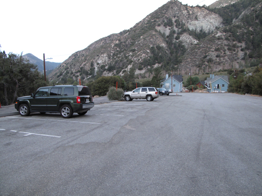
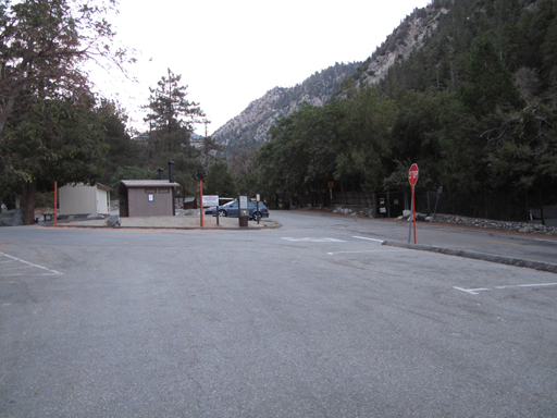
Empty Icehouse parking area, around 0615.

Image
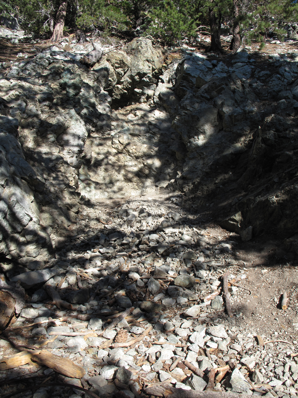
Anyone know what this mine-like thingy is on the Cucamonga Peak trail? It appears to have two entrances, with a pile of wire rope outside.

Image
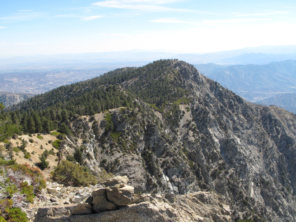
Ontario Peak as it wraps around Cucamonga Canyon.

Image
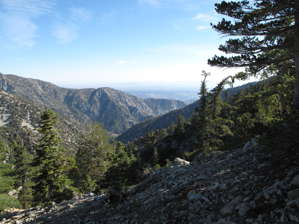
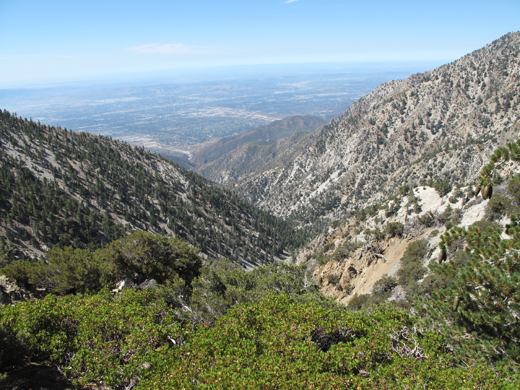
Looking towards Lytle Creek's middle fork from the Bighorn-Cucamonga saddle.

Image
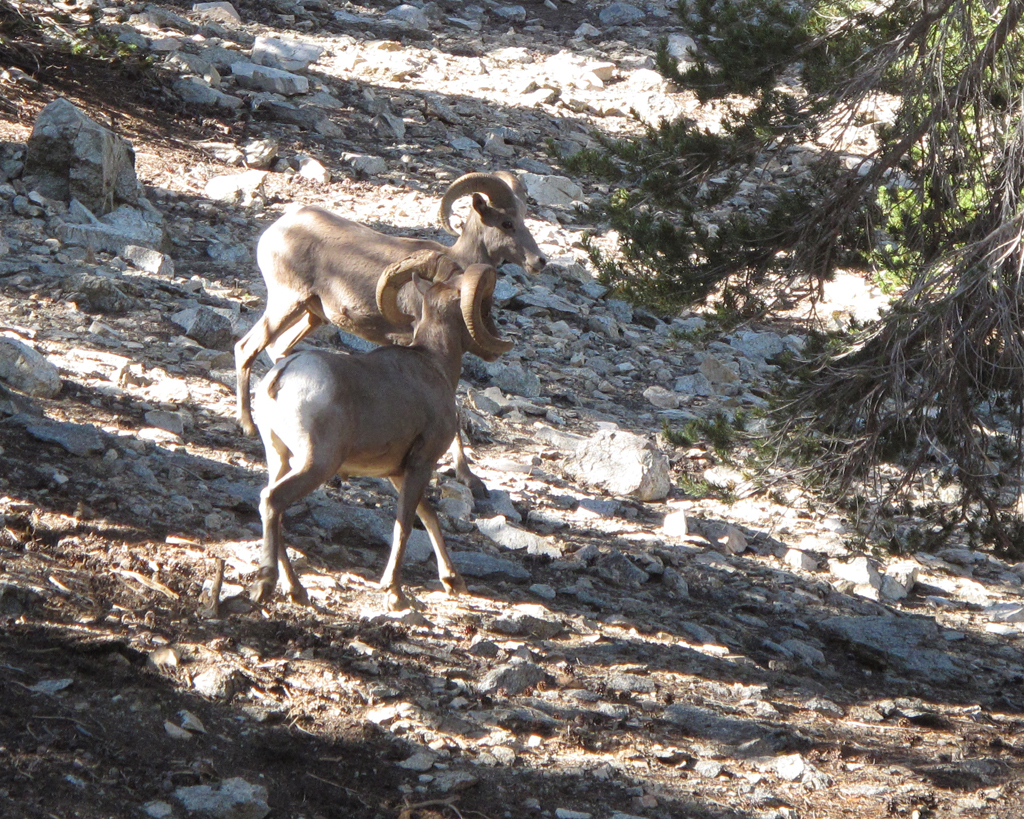
There were six to eight of these Ovis canadensis nelsoni hanging out around Cucamonga's summit trail. They scattered as I approached

Image
Register on Cucamonga Peak.

Image
Views were amazing yesterday. Channel Islands were easily visible (in other pictures).

Image
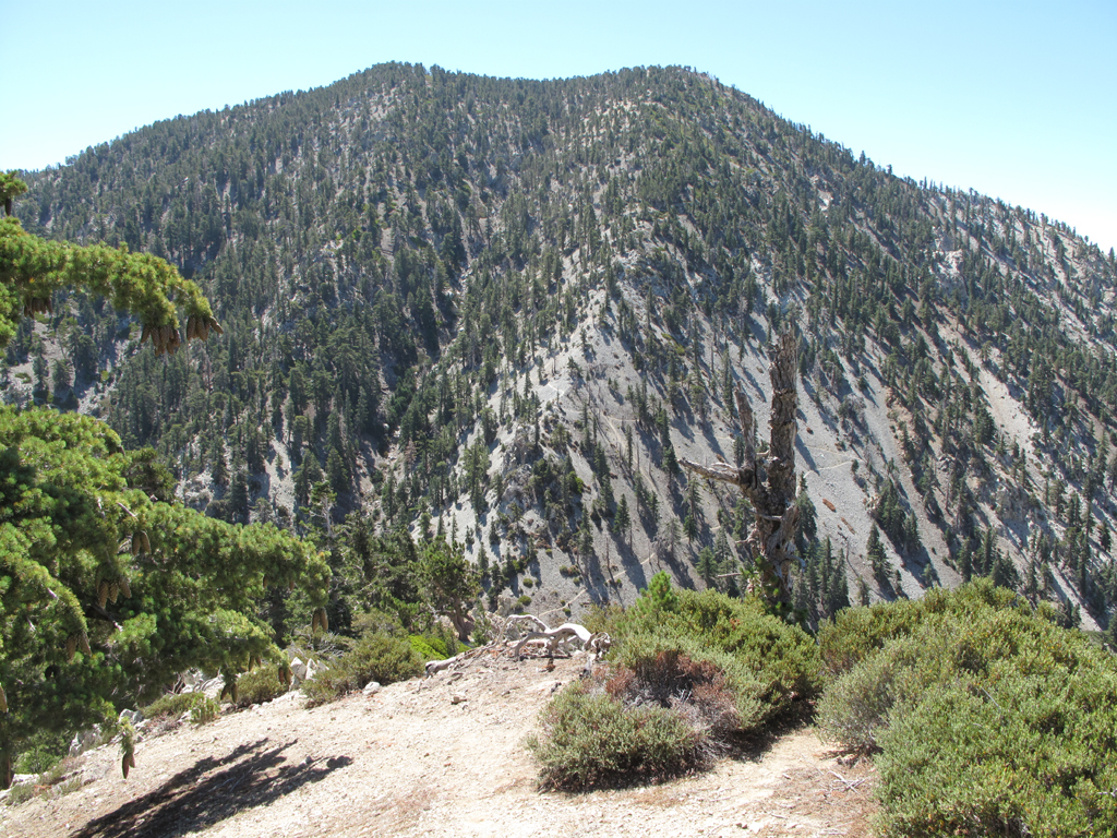
Cucamonga Peak's massif-mate.

Image
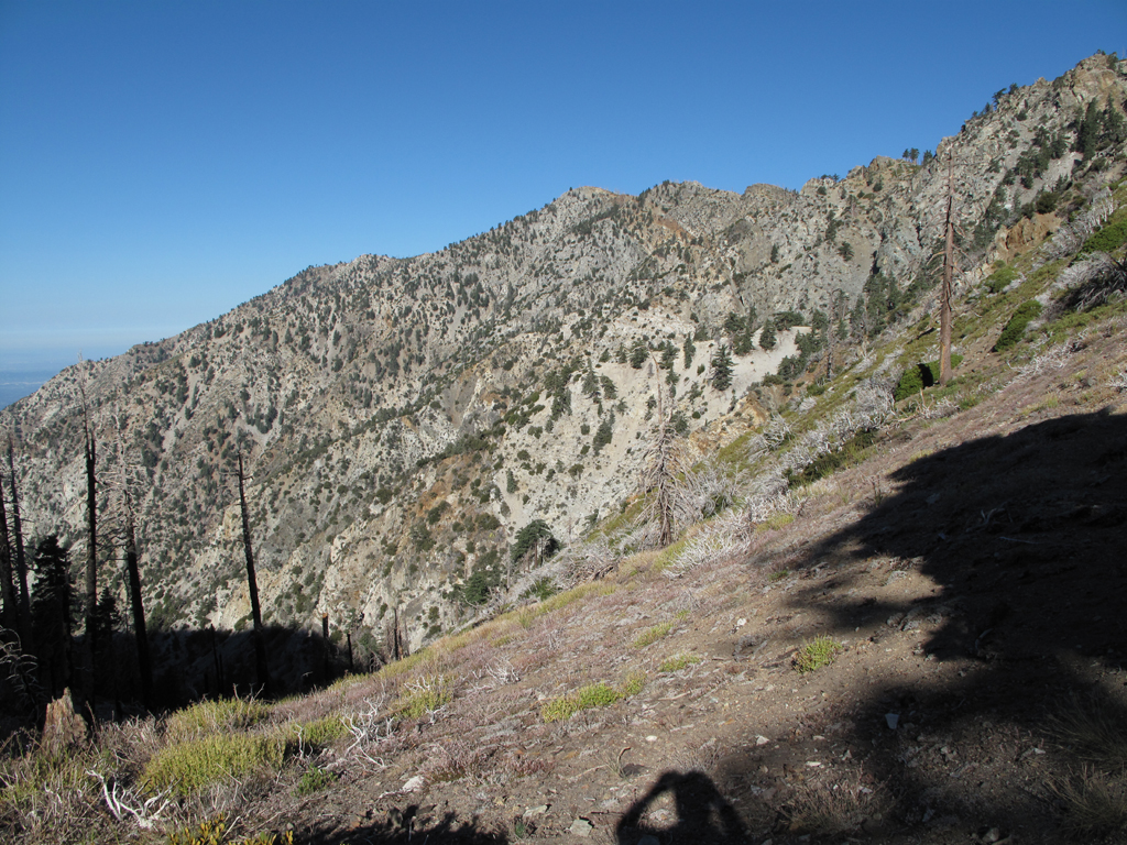
The switchbacks of 7W04.4 are plainly visible from Bighorn's southeast ridge.

Image
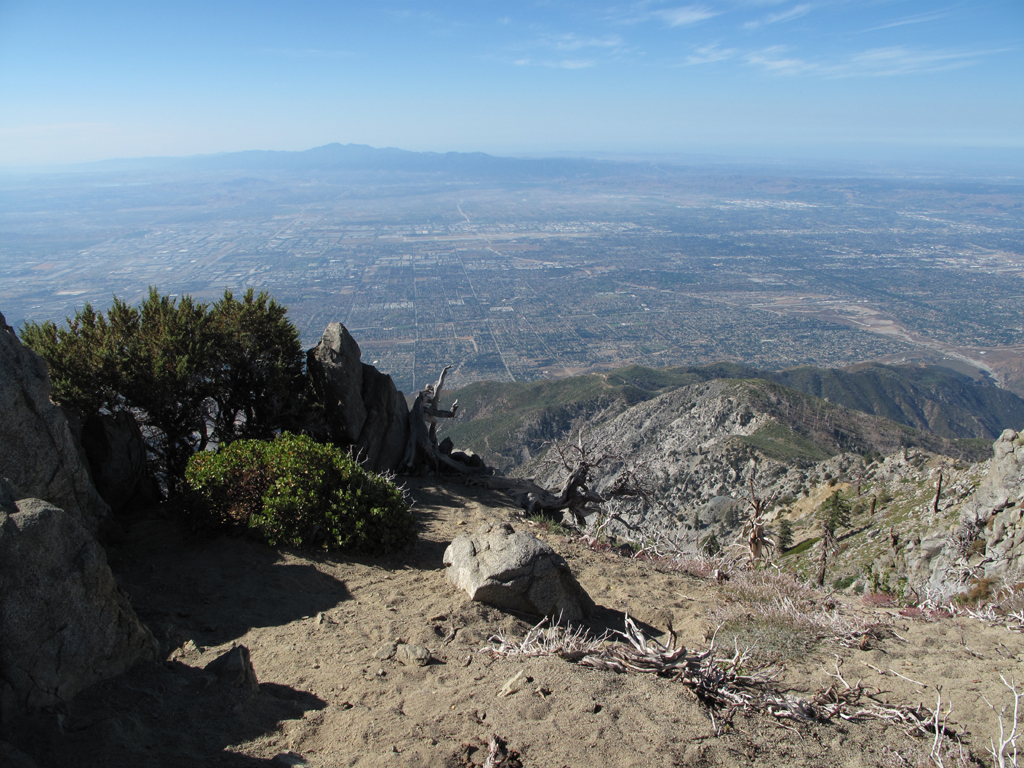
Cucamonga Canyon, Isla Santa Catalina, and everything in between.

Image
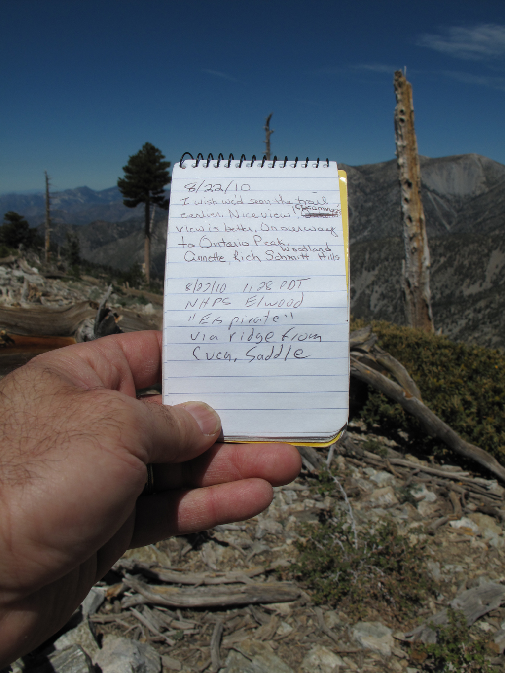
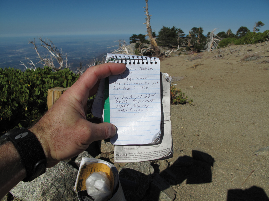
Register on Bighorn, with San Antonio in the background.

Image
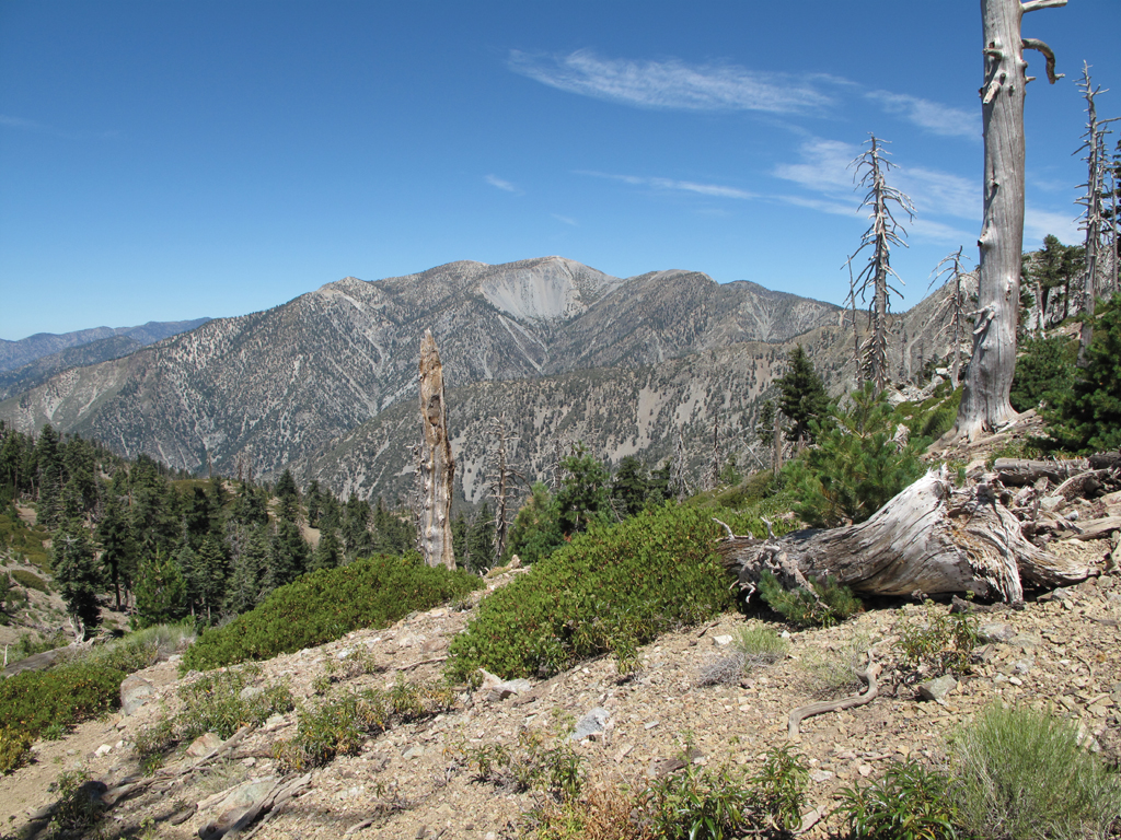
Mount San Antonio from Bighorn - Ontario ridge

Image
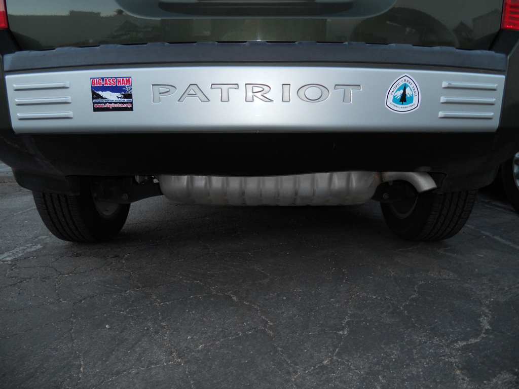
My Jeep and I graciously thank Mr. Simonov, et al. for the stickers on Bighorn.

Image
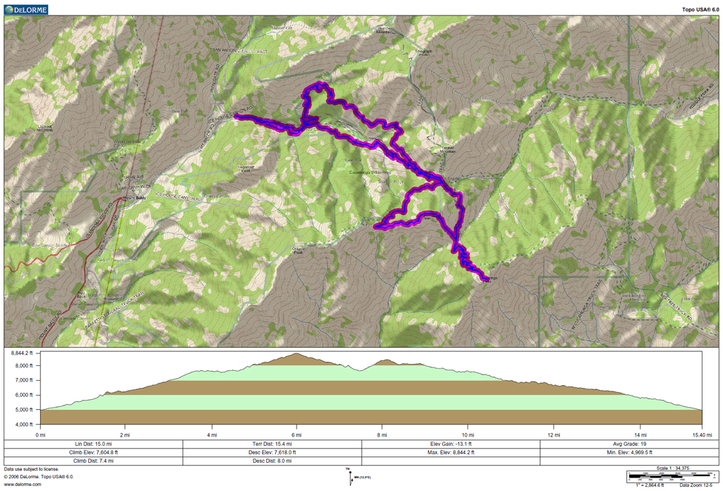
GPS track and elevation plots.
User avatar
TracieB
Posts: 216
Joined: Mon Feb 22, 2010 8:57 am

Post by TracieB »

Awesome photos! The only time I ever saw sheep, I didn't have my camera w/me. D'OH!!! that was quite a long slog, congrats!
User avatar
blueshammer
Posts: 105
Joined: Wed Nov 25, 2009 1:03 pm

Post by blueshammer »

How steep is the ridge going up Bighorn at the Bighorn-Cucamonga saddle? Is it easier ascending or descending?
User avatar
mattmaxon
Posts: 1137
Joined: Mon Mar 24, 2008 12:48 pm

Post by mattmaxon »

blueshammer wrote:How steep is the ridge going up Bighorn at the Bighorn-Cucamonga saddle? Is it easier ascending or descending?
Prolly depends on your knees! :lol:

I for one like to ascend the steep sh*& and descend the trail. When I was over that way not too long ago it looked better to ascend IMO

Matt
User avatar
Elwood
Posts: 612
Joined: Fri Aug 15, 2008 5:23 pm

Post by Elwood »

Gain / loss is around 770 feet in 2,856 feet of trail, or ~ 27% . In terms of exertion it's probably easier to descend. Doing so would probably scar the sandy terrain pretty easily.
User avatar
norma r
Posts: 707
Joined: Thu Nov 06, 2008 4:22 pm

Post by norma r »

:D Nice photos, especially of the sheep! Nice hike too!! :D
Elwood wrote:As an aside; I go out of my way to yield trail to other hikers. That crowd in the last mile of trail between the Chapman cutoff and the parking area showed no such courtesy.
I'm sure it'll do no good, but i'll call the Ranger Station in Baldy Village. Maybe they will post a sign about trail etiquette. Last year Shin contacted the head of the Korean hiking association in the U.S. to mention the issue but i've seen the lack of right-of-way disregarded by all hikers of every race. I'm sure it's not an intentional act but a case of ignorance. People need to be educated; courtesy unfortunately is not instinctive
User avatar
Taco
Snownado survivor
Posts: 6010
Joined: Thu Sep 27, 2007 4:35 pm

Post by Taco »

I believe that's an old mine. I've not gone into it, as I'm somewhat uncomfortable of such things. An illogical fear, I guess, so I figure I'll give it a shot next time. Might end up being a nice bivy spot...
User avatar
lilbitmo
Posts: 1092
Joined: Tue Mar 04, 2008 9:44 pm

Post by lilbitmo »

Nice work Elwood, just in case you didn't hear I got two new lab's as my oldest dog finally passed away from "Cushings" disease, anyway the two labs have been named "Jake and Elwood" one is black the other brown, two brothers that are 8 months old, so they will be going out when the tempt's get a little better. We will call the one "Woody" for short, they will never have to sing the blues with me :wink:

Great pictures. :D
User avatar
Elwood
Posts: 612
Joined: Fri Aug 15, 2008 5:23 pm

Post by Elwood »

Hey Lilbitmo!

Congratulations on the puppies Jake and the Elwood! I had a pair of namesake cats, though only Elwood remains. It's a real heart breaker to lose one and I can honestly sympathize. I hope to see the three of you on the trail sometime soon.
User avatar
RichardK
Posts: 727
Joined: Sun Sep 30, 2007 12:33 pm

Post by RichardK »

A few years ago, while laboring up Cucamonga's switchbacks, I noticed that Bighorn's southeast ridge looked very hikable. So, we tried it the next week. Navigation was simple: aim for the high point. We did follow a game trail for a while until it started winding around the mountain instead of going over the summit. For the most part, the footing was decent and the slope not too steep. I have always found uphill cross country travel to be easier than downhill for traction and stability. Going uphill, I lean forward, my heels dig in, and I motor up. Going downhill, it seems that my feet want to fly out from under me. Nice trip report. Thanks for posting.
Post Reply