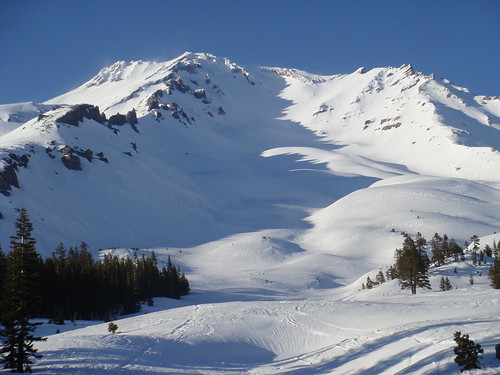
Avalanche Gulch in May.

Lots of the snow had melted by the time I could make my second attempt in August, so it wasn't as pretty as before.
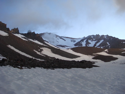
Avalanche Gulch in August.

Still, I was on snow for most of the route, maybe from about 8500' to about 14,000'. Portions of the summit plateau and summit pinnacle were blown or melted free of snow. There was a really stinky sulfur hot spring on the summit plateau at around 14,000' right next to the summit pinnacle.
Roundtrip was only 12 miles, but it was very steep. Gained at least 7200 feet in elevation over the course of 6 miles, going from 6900' at Bunny Flats to 14,162' at the summit. Took 16 hours, car to car, which was a couple more hours than I was expecting. The thin air at altitude and being a bit out of shape made for a very long and difficult day.
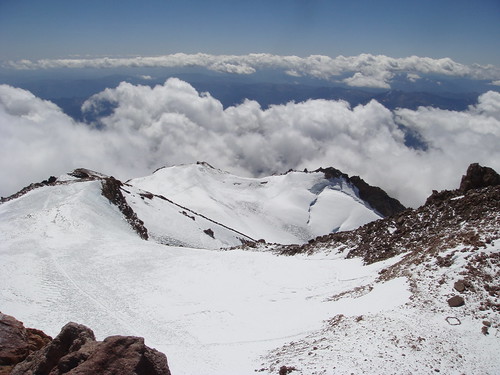
Here's a pic I took from the summit. You can see the summit plateau, the top of Misery Hill, and the bergschrund of the Whitney Glacier.

Pics from May attempt.
Pics from August attempt.
