Whilst Jake Knievel was busy riding his scooter over repurposed ACH signage, I added another chapter to my tome
Poor Choices In Summer Hiking. Missing out on a perfectly good early morning descent of Eaton, I drove out to Rancho Cucamonga and parked at the top of Haven Avenue. I started up Deer Canyon at 0600. It was very slow going all day due to the heat. It was already in seventies when I started and amazingly in the nineties above 8,000 feet. My goal for the day was Cucamonga Peak, promising myself to retreat should conditions warrant it. The wet winter was very kind to the vegetation on "Cucamonga Truck Trail" 1N34. What was overgrown annoyance last August was now a tangle of young Buckthorn, glistening with a sticky resin. There were several stretches where progress could only be managed by pushing through this mercifully pliable, shoulder-height mess. Most of 7W04.4/5, from the Cucamonga Wilderness boundary to the Etiwanda summit trail cutoff is in decent shape, save for a nasty mile-or-so where it turns towards the Lytle Creek side. Luckily I had the presence of mind to top off the water supply on my first pass over Day Creek. I was down to one liter for the entire descent from Etiwanda back to Day, and y'all know how hot it was this past Saturday.
Unattained goal for the day: Cucamonga Peak.
Cucamonga Truck Trail, 1N34 as it heads towards Joe Elliott Campground from the top of Deer Canyon.
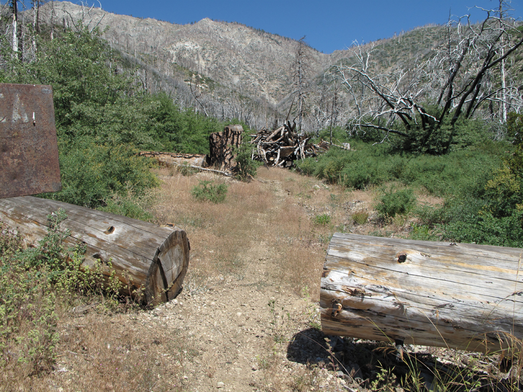
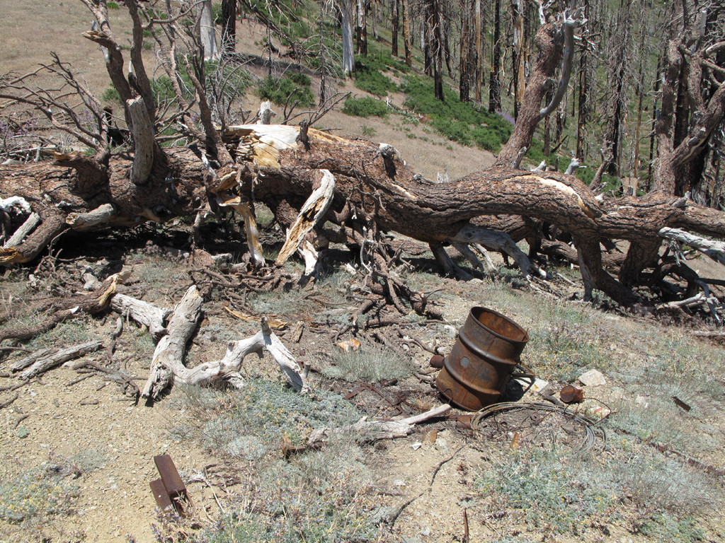
I missed its previous owner.
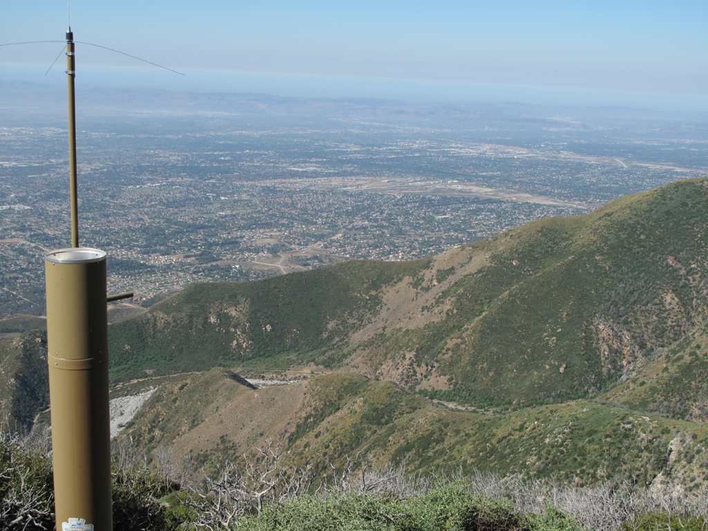
Remote rain gauge, Deer Canyon, part of the basin and the Pacific Ocean.
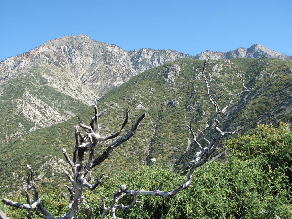
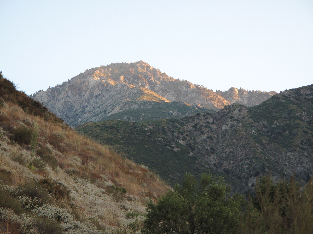
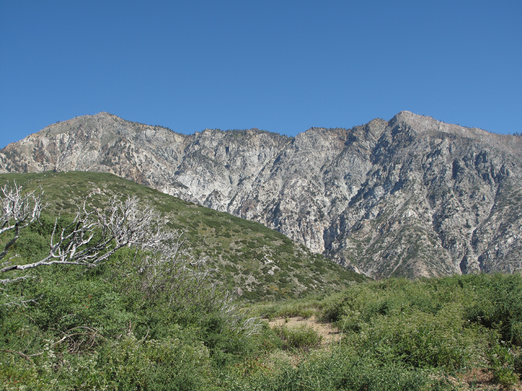
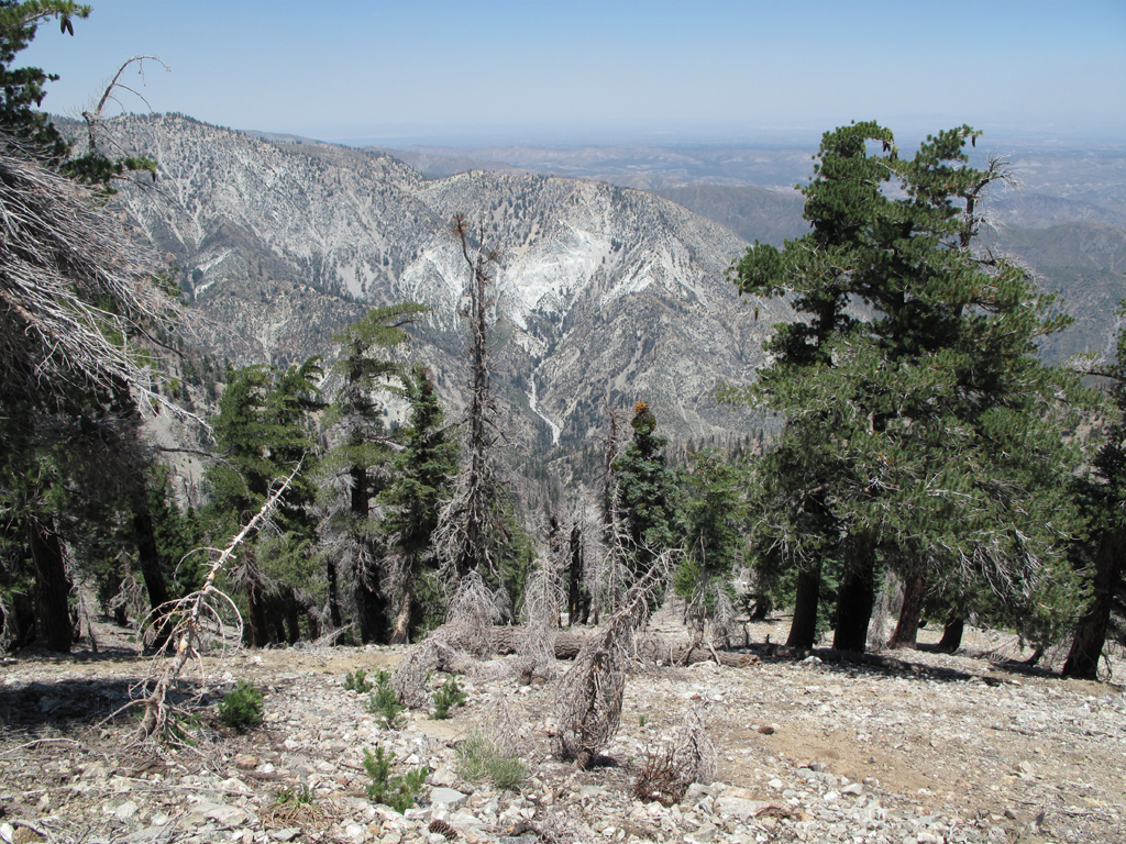
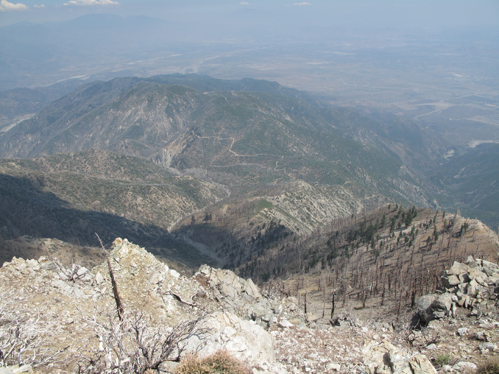
Cucamonga and Etiwanda Peaks.
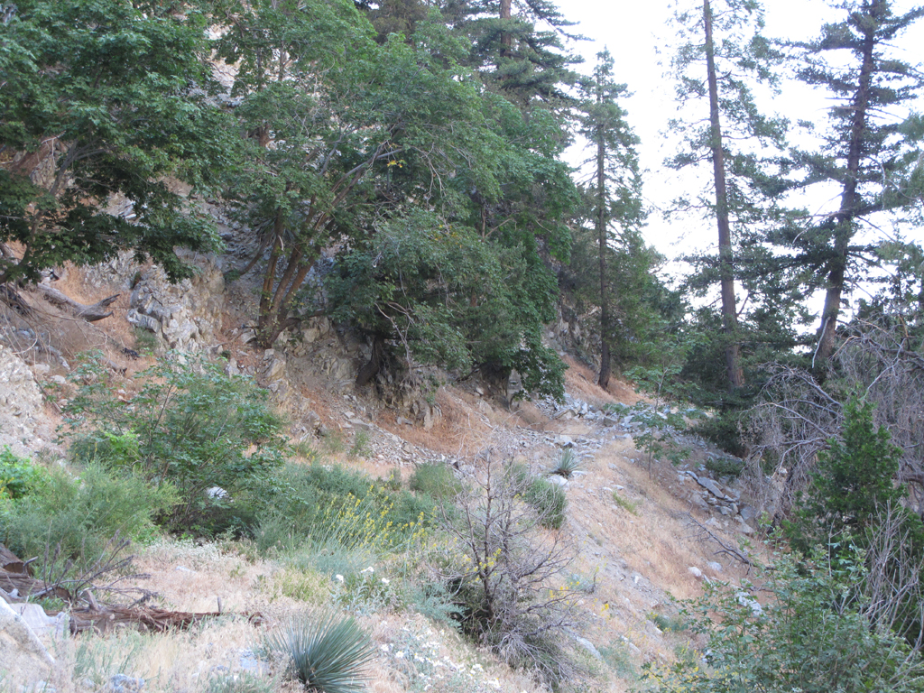
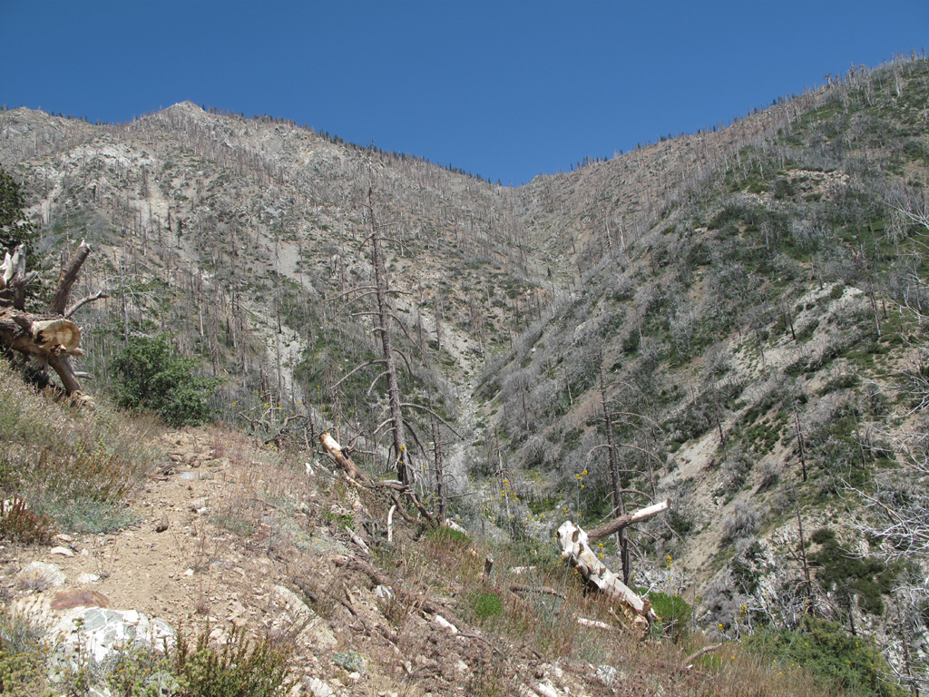
One of the more easily traveled stretches of IN34.
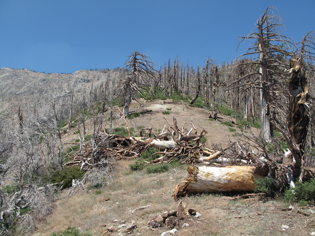
The trail gets a bit brushy in spots.
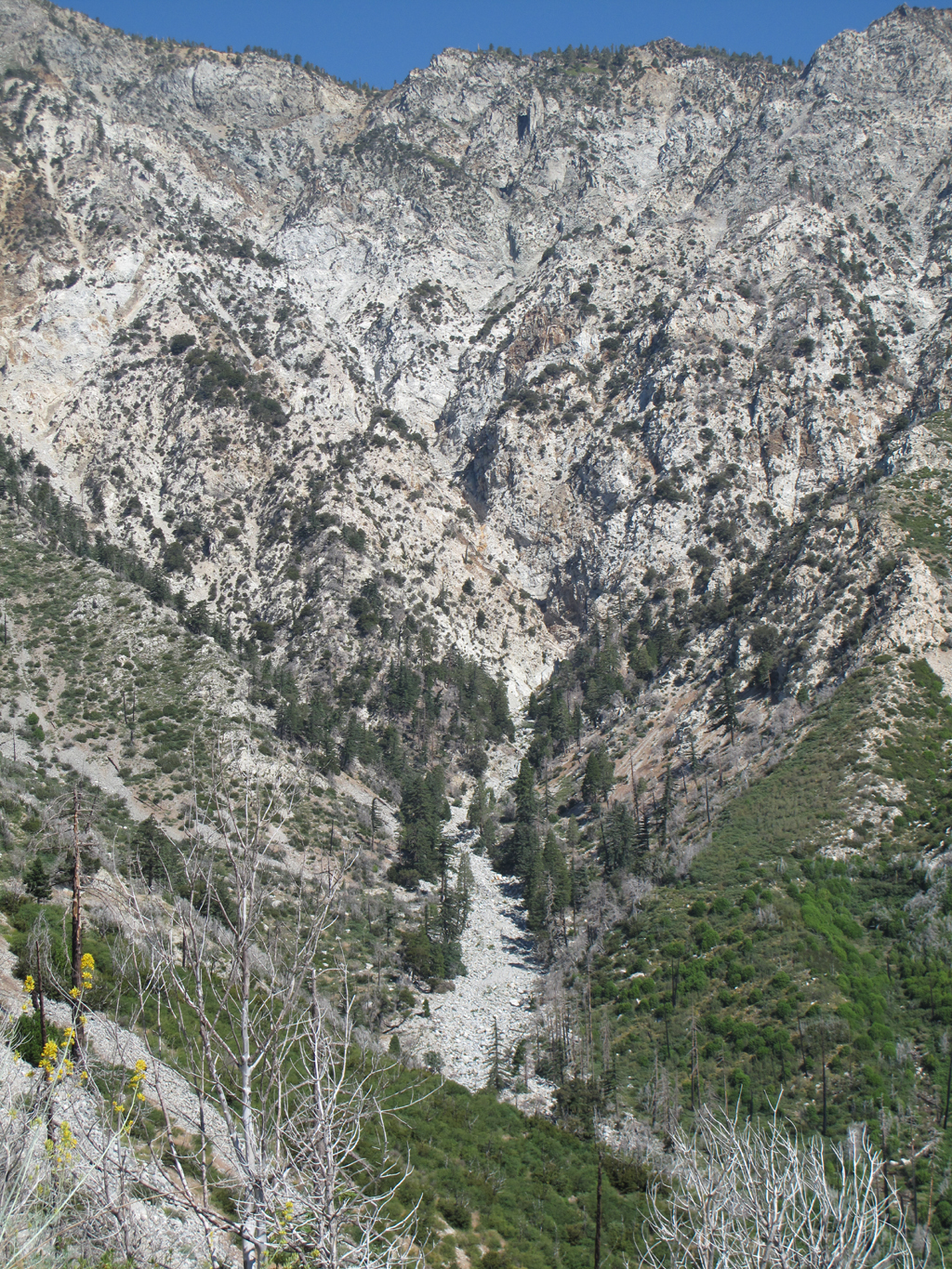
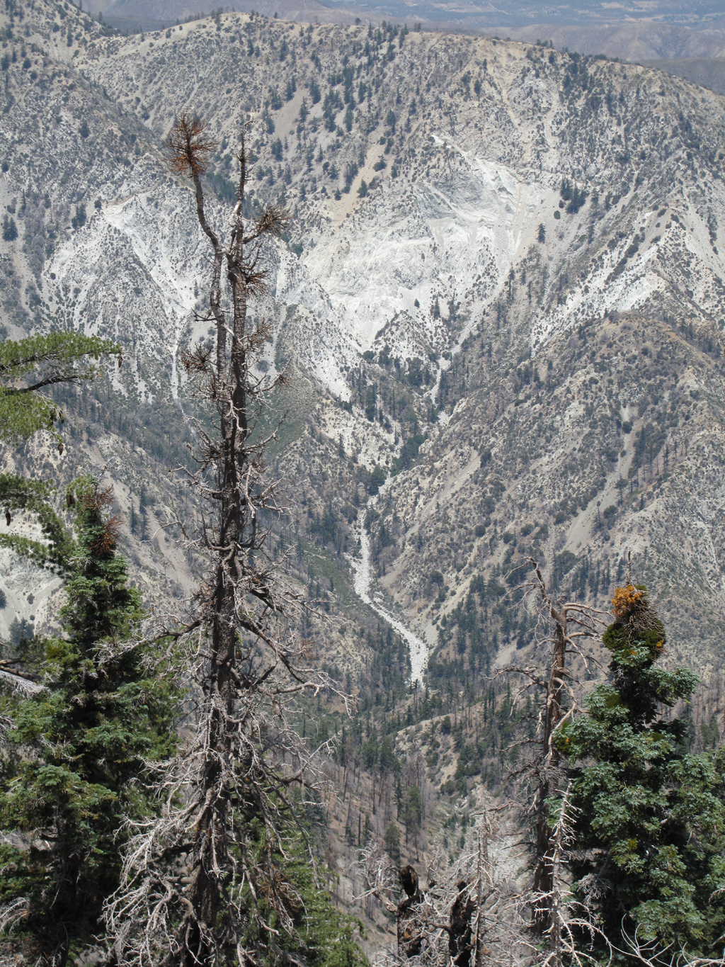
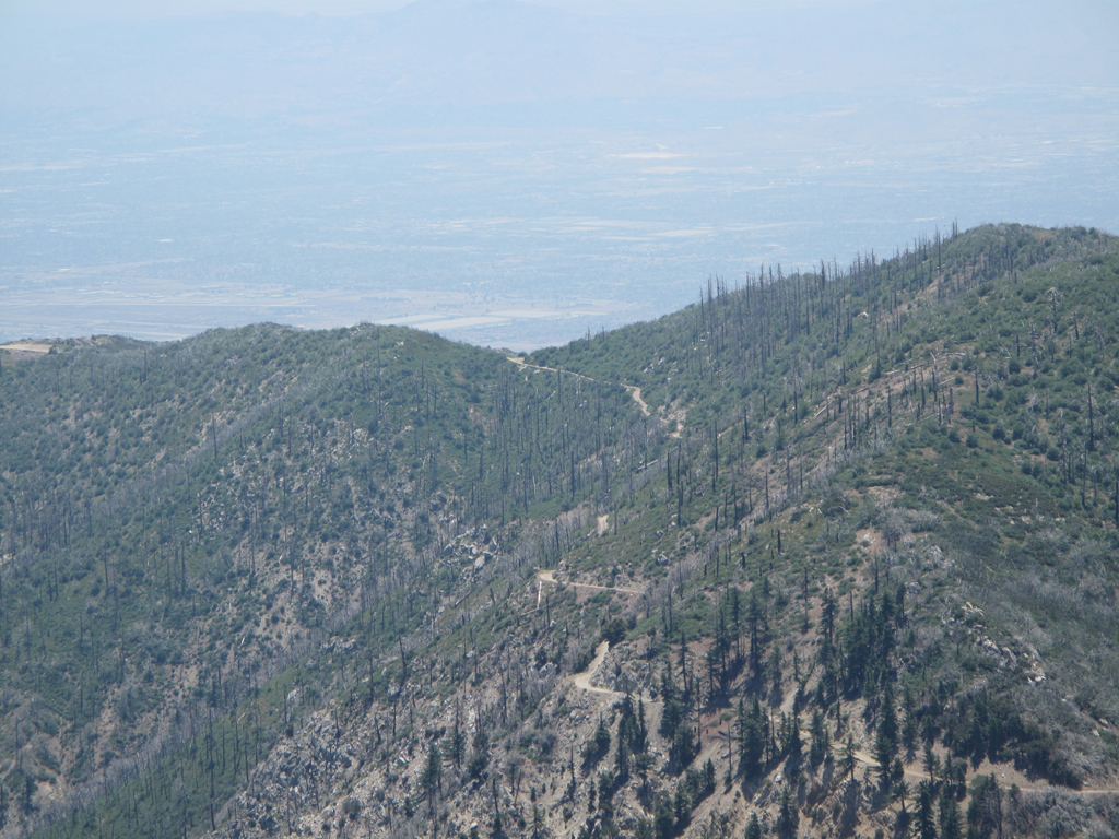
Day Canyon drainage.
Gateway into the Cucamonga Wilderness from Joe Elliott Campground.
San Sevaine Road and 7W04.4, looking down into Joe Elliott.
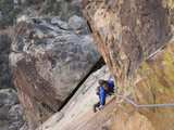
I was tempted to try and scramble up here rather than face the trail ahead. Musta' been the dehydration talking.
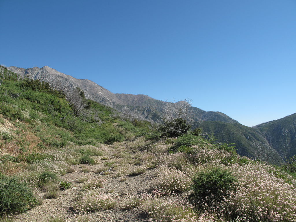
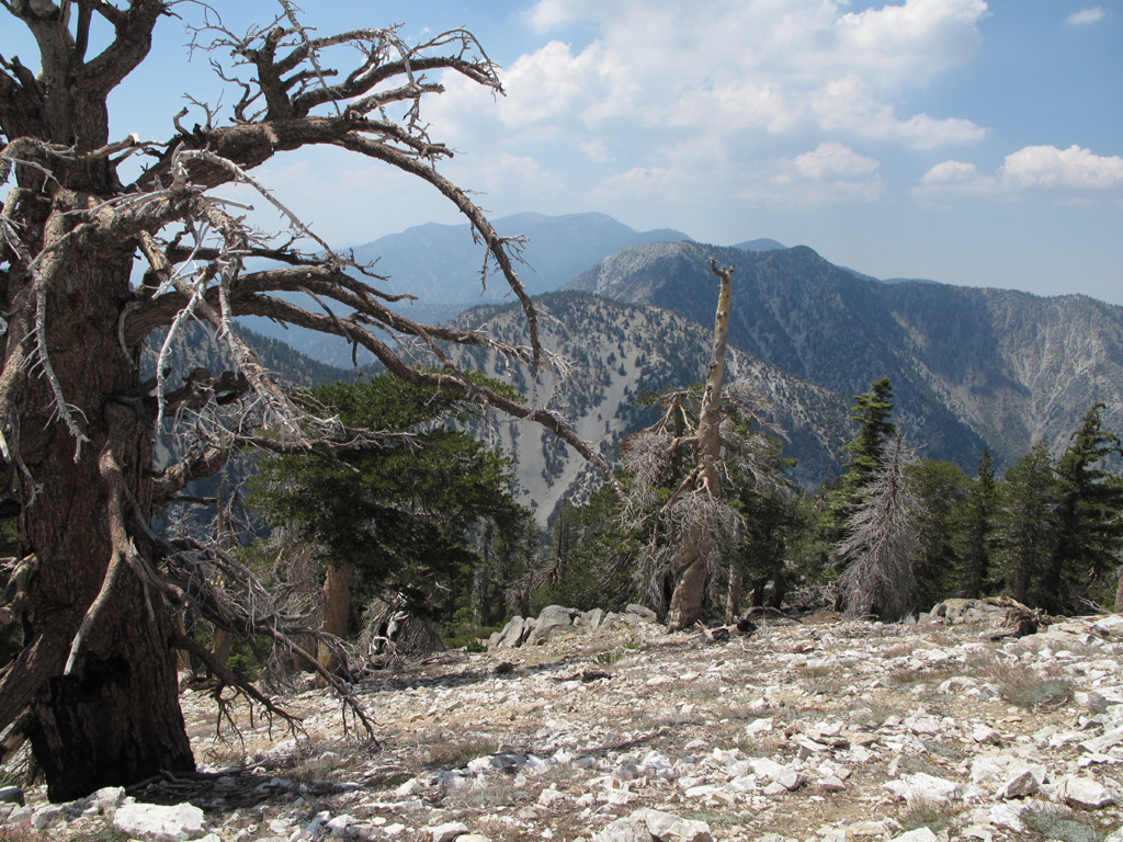
Looking towards Buck Point.
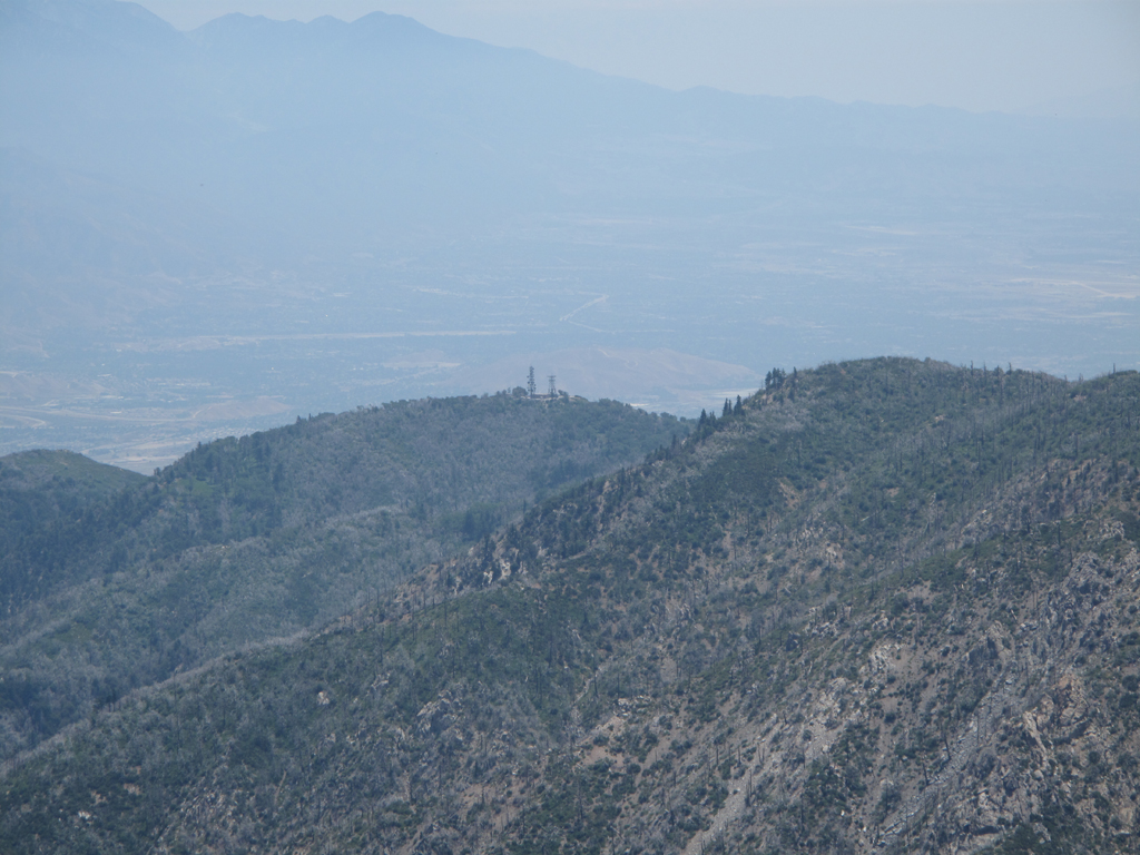
San Sevaine Lookout and relay towers.
Little flat around 7,440 feet.
I descended this ridge rather than fight a poor trail segment.
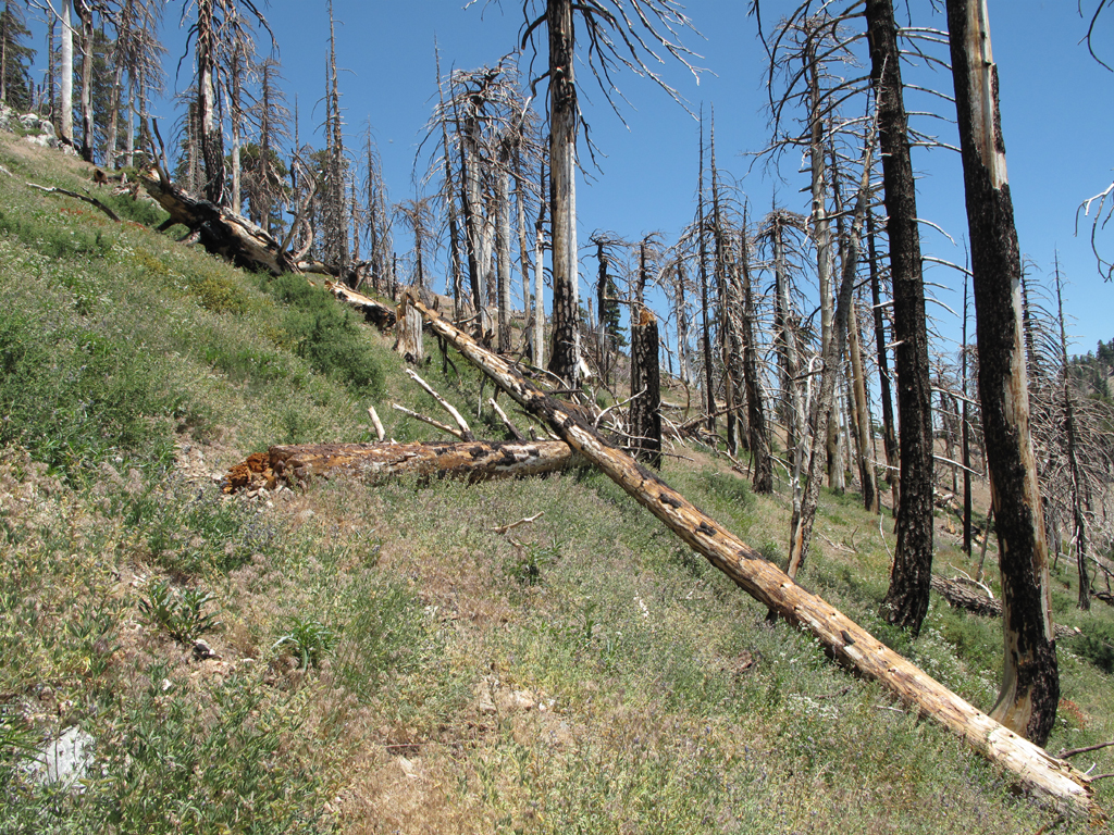
7W04.4 is in here somewhere. Really.
Middle Fork, Lytle Creek trail is down there somewhere.
Timber and the other 'T's.
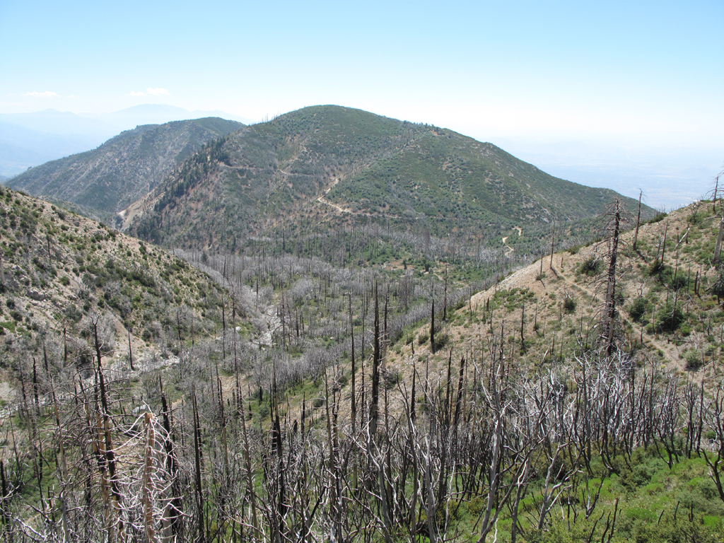
View from Etiwanda's Summit.
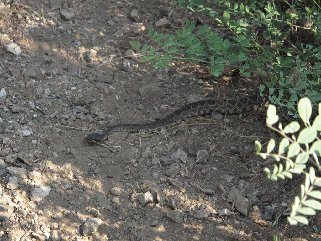
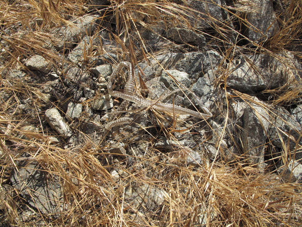
What's a hike without one of these beautiful
Crotalae ?
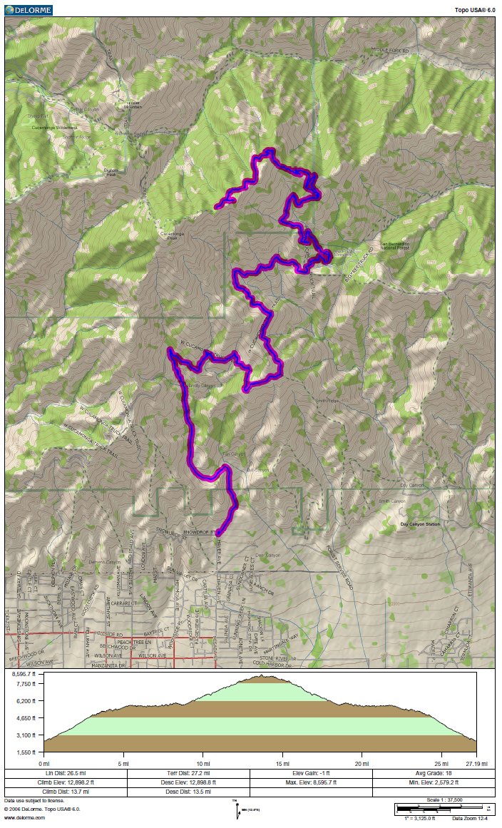
GPS track and elevation data. One of these days I'm gonna' figure out why the gain and loss totals get so wonky.