

Our journey begins at point "A" on this map, the "Dry/Dollar split" where the trails to Dry and Dollar lake split just below S. Fork Meadows. From the Dry/Dollar split, I leave the trail and proceed up the drainage to S. Fork Meadows.

To get into the glacial chop country of the SGW, I want to ascend up the main drainage past where the creek flows down
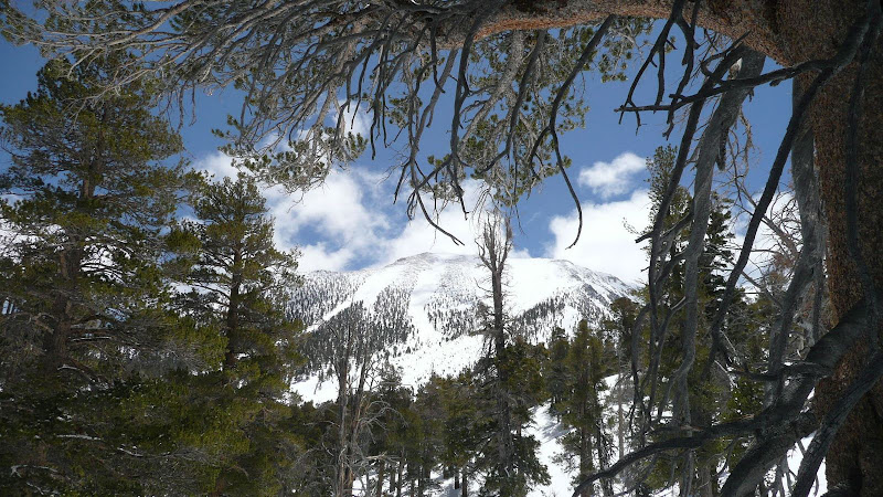
from Dry Lake. Looking east, I can see that I am high enough.

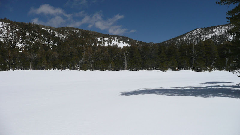
I take another look at S Fork Meadows, and off I go.

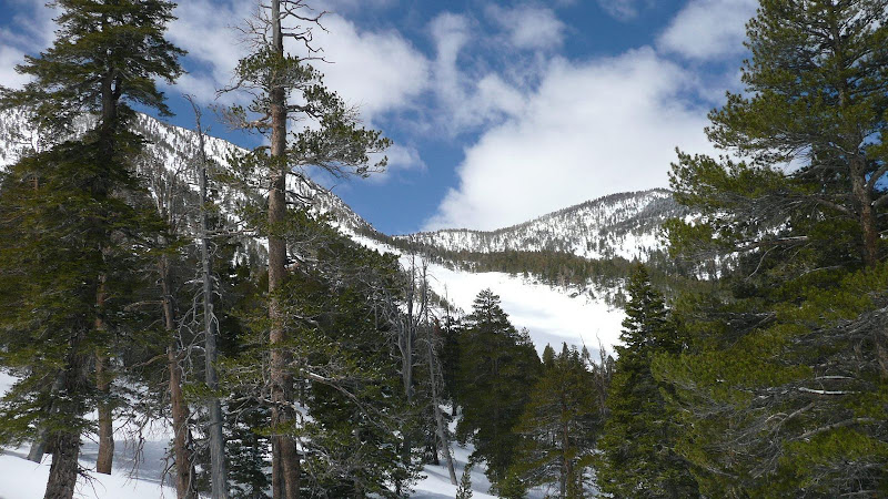
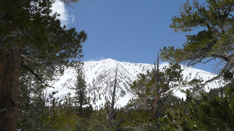
As I climb, exciting views of the N face of Charlton, Dollar Lake Saddle, and Red Rock Flat open up.
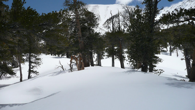
As I ascend, the terrain steepens:

Looking back at my tracks:

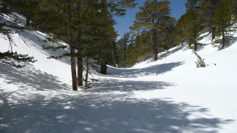
But there's more to go:

The view back into the Santa Ana River valley:

Closer up:

More views to the WSW:

and the Santa Ana River Valley:

At last! I'm about to top out on the ridge I'm following and enter the SGW glacial chop country.

First look into the SGW glacial chop country. Lake Peak is in the background.

The chop country is an odd place of weird rolling peaklets, meandering gullies, depressions, and twisted topography. Let's follow this ridge into the chop.

Coming along the ridge, I top out on a small peaklet in the SGW glacial chop country. I call this Orange Stripe Peak because of the orange stripe on this boulder. Notice, as with most things in the chop county, that the peak isn't particularly distinct.

But from here, the view of the main San Gorgonio ridge is spectacular.

Looking further west along the main ridge toward Jepson Peak.

The chop country is difficult to document with just a small camera. Perhaps a view into one of the depressions of the chop country will help give you an idea of the terrain. There is no exit to this depression. Were a ready flow of water available, this would soon be a small lake or pond.

The bottom of the depression.
Looking across the chop country a a north-eastern ridge of San Gorgonio:

Looking south across the chop country at San Gorgonio Mountain.
I'm working my way generally south across the chop country, hoping to exit at the south-eastern end of the chop country via the drainage down to Dry Lake. Here, I'm looking roughly east out over the SGW glacial chop country at Fish Creek Saddle. Note the intervening ridge between me and the saddle. Not a view one typically sees in the SGW.

Next, another indistinct little peaklet. I call this one Flat Rock Peak.

Throughout this weird country, the views of the main San Gorgonio ridge are outstanding.

Here, I'm looking back over the mounded country that I've just passed through.
This unremarkable peaklet is the highest point in the SGW glacial chop country. I called it "Fallen Log Peak" since there's a fallen log on top.

Looking up at the main ridge of the SGW from Fallen Log Peak.
I don't know how well you can see the terrain, but from Fallen Log Peak, I need to head ESE across the chop country toward the major avalanche chute on the N face of San Gorgonio mountain. The terrain in this photo is fairly typical.

Here's a little bit better photo of the mounded and whorled terrain.
The main "pass" between San Gorgonio and Jepson. It is down from this pass that a major glacier flowed. The debris left behind from the repeated passings of that glacier formed the weird topography of the glacial chop country of the SGW.

Another view of San Gorgonio Mountain. Note all the debris at the bottom of the avalanche basin. I believe this is more than just avvy debris. I believe this is in part the lateral moraine from the major glacier flowing down between Gorgonio and Jepson as well as glacial debris from a smaller glacier flowing down the N. face of Gorgonio itself.

Close up of the avvy basin on the N face of Gorgonio.

Heading ESE across the glacial chop country:

The SGW glacial chop country.

Here, I've come to the edge of the big, shallow basin below the major pass between Gorgonio and Jepson. At some point in here, I need to turn north and start descending to catch the drainage from Dry Lake back to my starting point. But in all this whorled chop, where?

Taking a bearing off Fish Creek Saddle gives us a clue.

As does Mine Shaft Saddle and Trail Flats. As I navigate the basin below Gorgonio - Jepson Pass, I need to align the two and approach them to find the crossing point into the proper drainage in order to descend to Dry Lake.

Looking up into Gorgonio - Jepson Pass. It is the area in the lower left of the photo that I must navigate across in order to exit the glacial chop country of the SGW.

This is the combined terminal/lateral moraine coming down from San Gorgonio. As long as I am west of this moraine, I haven't yet exited the glacial chop country of the SGW.

How about this gully? Should I drop down this one?

Nope. The moraine is still to the east of me.

At last! Now, I'm approaching the western edge of the lateral moraine.

Now you can see I'm directly in the "U" shaped channel carved by the most recent iteration of the glacier. The moraine is on my left (east).

The beautiful main ridge of the SGW. True alpine country.

Now, I'm crossed the path of the glacier, and I've topped out on a small ridge. Have I at last exited the weird terrain of the SGW glacial chop country? The small stretch of trail and the cut log confirms that I'm on the correct ridge, the ridge that the trail down from Trail Flats to Dry Lake takes.

Looking back up at the combined moraine coming down from San Gorgonio.

Looking down the drainage that will take me to Dry Lake. Note that it looks like any other drainage in the general vicinity of the SGW glacial chop country but that because of the terrain features I've been using to navigate by (Mine Shaft Saddle, Trail Flats, the old glacial channel, and the morraine), I'm confident that this is the drainage I want to drop down.

Descending the ridge.

From the ridge, I drop east into the drainage that leads to Dry Lake. Here, it looks as though someone built a snow cave.

Dry Lake from the SW.

Looking across Dry Lake toward Fish Creek Saddle.
Looking at the "spillway" of Dry Lake. Note that there's quite a lot of vertical distance between the snow level in Dry Lake and the logs that have settled over the years into the spillway. This tells me that the snow level in Dry Lake is no where near the levels we saw in the heavy snow year of 2005. Nevertheless, let us hope for a wet year for beautiful Dry Lake.

Lake Peak dominates the Sky Line as one looks ESE across Dry Lake.

Descending the drainage from Dry Lake.
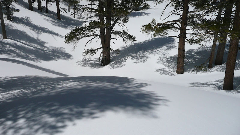
The snow's a bit drifted here.

Looking back up the drainage as I descend from Dry Lake.

Now, I'm back in S. Fork Meadows. Notice anything familiar about that copse of trees across the meadow? I recognize it as this morning's snack stop.

Indeed, there's my outbound trail from this morning.

Well, since I am back at my snack stop...

Well, that completes my journey of exploration into the glacial chop country of the SGW. Do the contour lines on the topo map make any more sense now that you know that the country is just a bunch of glacial chop scoured off the ridges and peaks above and heaped into mounds of rubble? I hope you've enjoyed this little foray into the high country of the San Gorgonio Wilderness.

HJ


