

Weather was absolutely perfect. I chatted with a biker who had pedaled over from South Fork and was headed towards the saddle, and passed another half dozen hikers on the lower segment of 10W09. By the time I returned to the trailhead, the parking lot was full of Puncbowl visitors. I had a nice chat with the County Sheriff patrolling the lot, a fellow amateur radio operator. The visitor's center has a beautiful collection of live local reptiles, including several Rattlesnakes. Following my visit there, it was back to Simi Valley. Since it was still early in the day, I took the Forest Highway back to Big Tujunga Canyon Road. This particular drive was rather disheartening as it was my first view of the canyon's complete destruction by the Station Fire. Contrast this with my drive last weekend through Little Tujunga Canyon, from Osborne Street to Placerita. 'Little T' looked relatively unscathed.
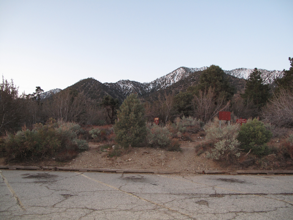
Empty parking lot at the punchbowl, 0617.
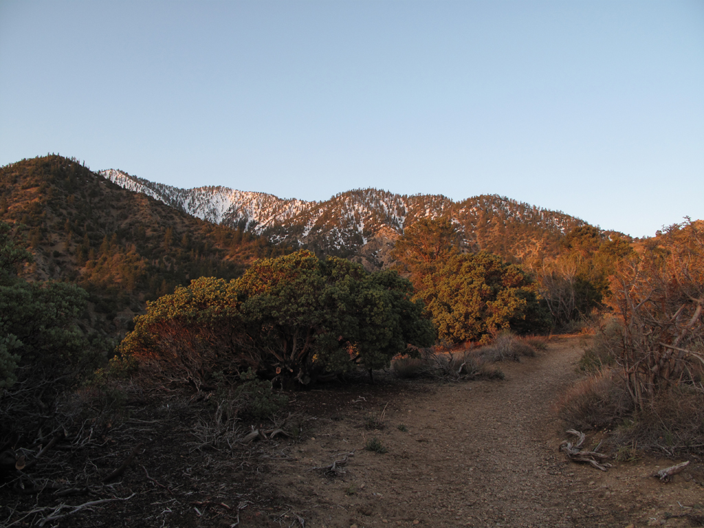
Daybreak, mountains, snow, manzanita.
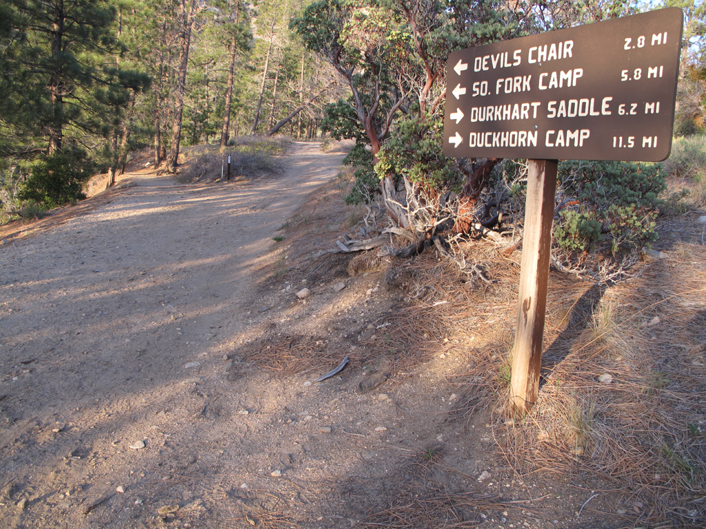
Where shall we go today?
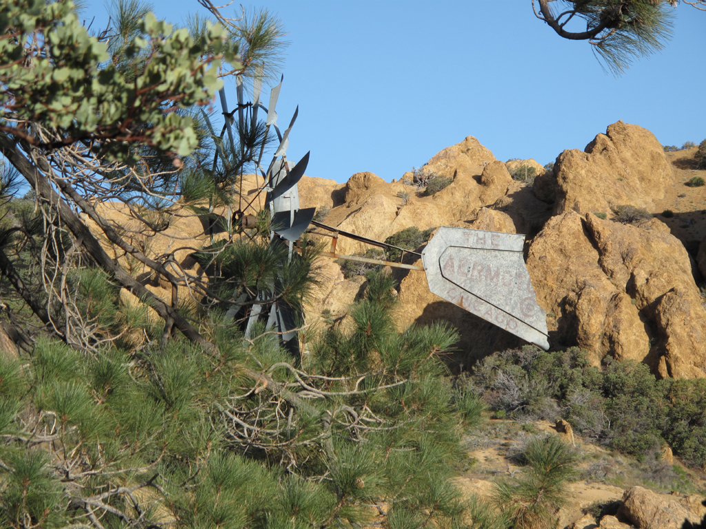
Windmill near the locked gate, where the trail turns south.
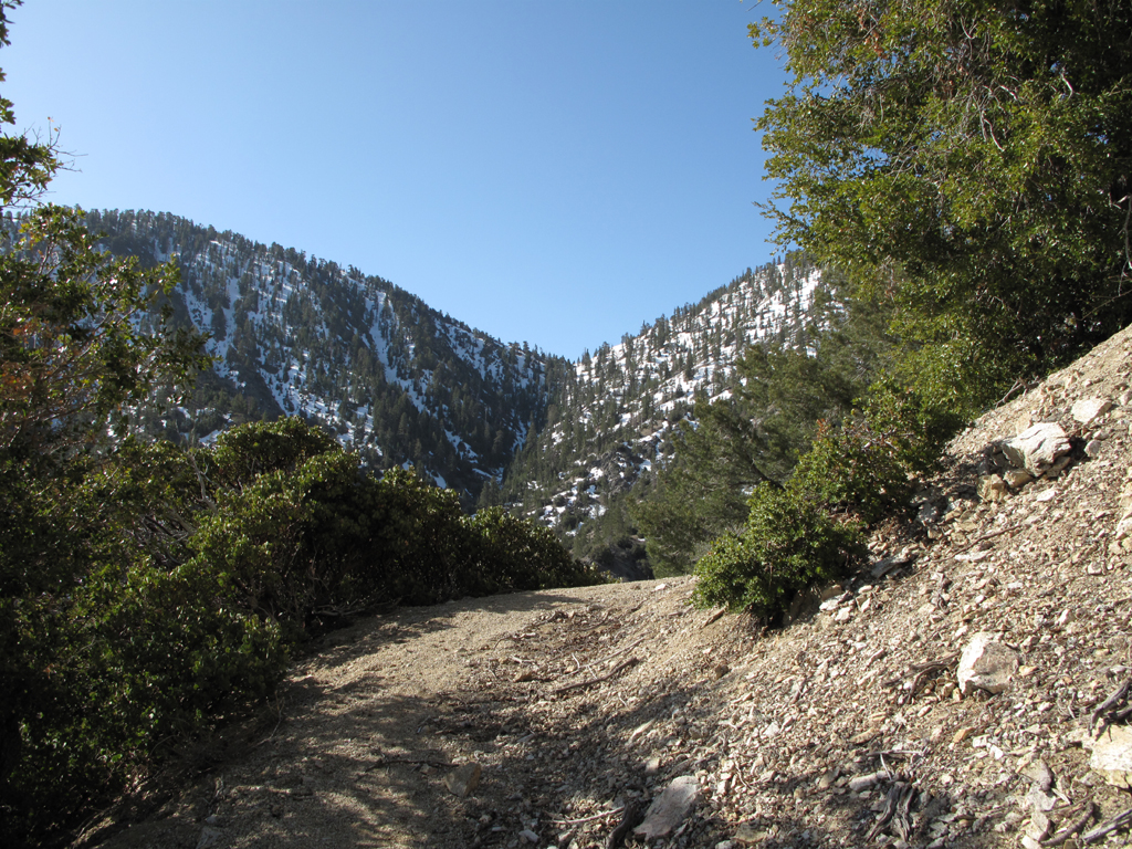
Overexposed view towards the saddle, from a point above the creek bed.
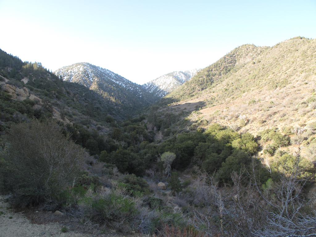
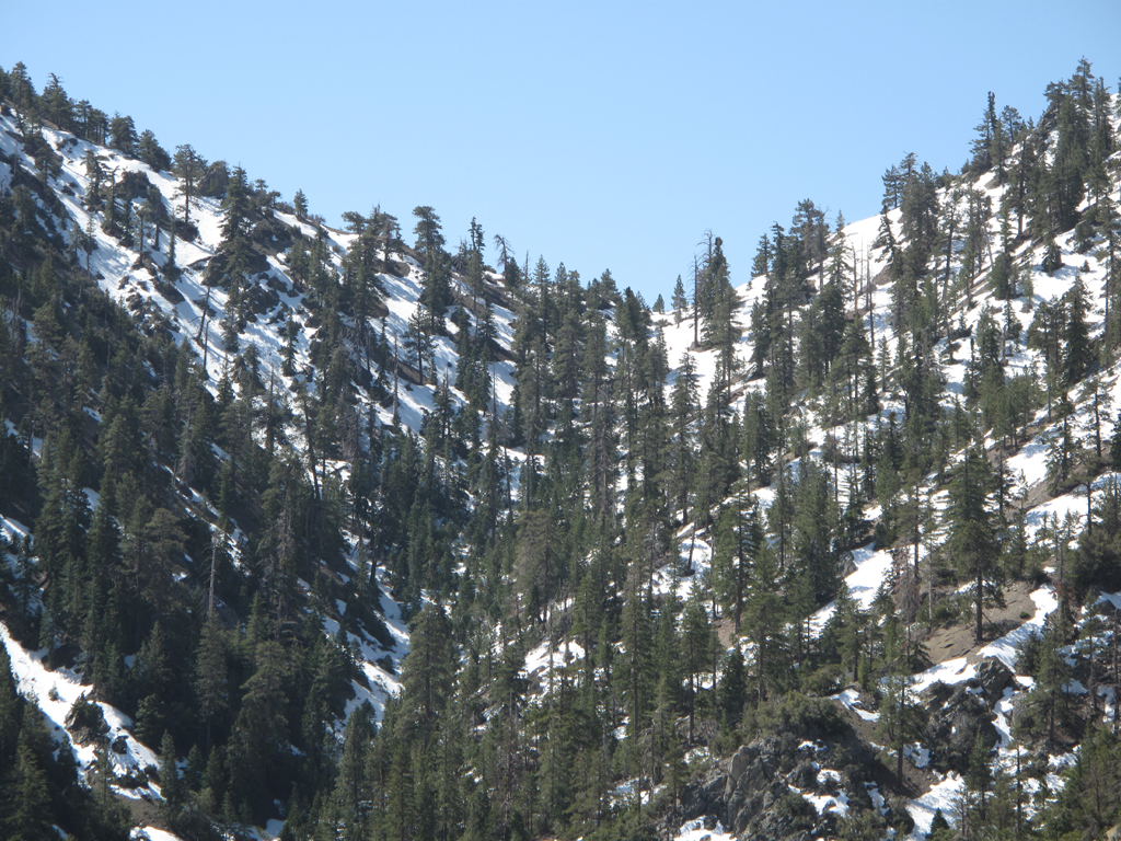
Another view up-canyon.
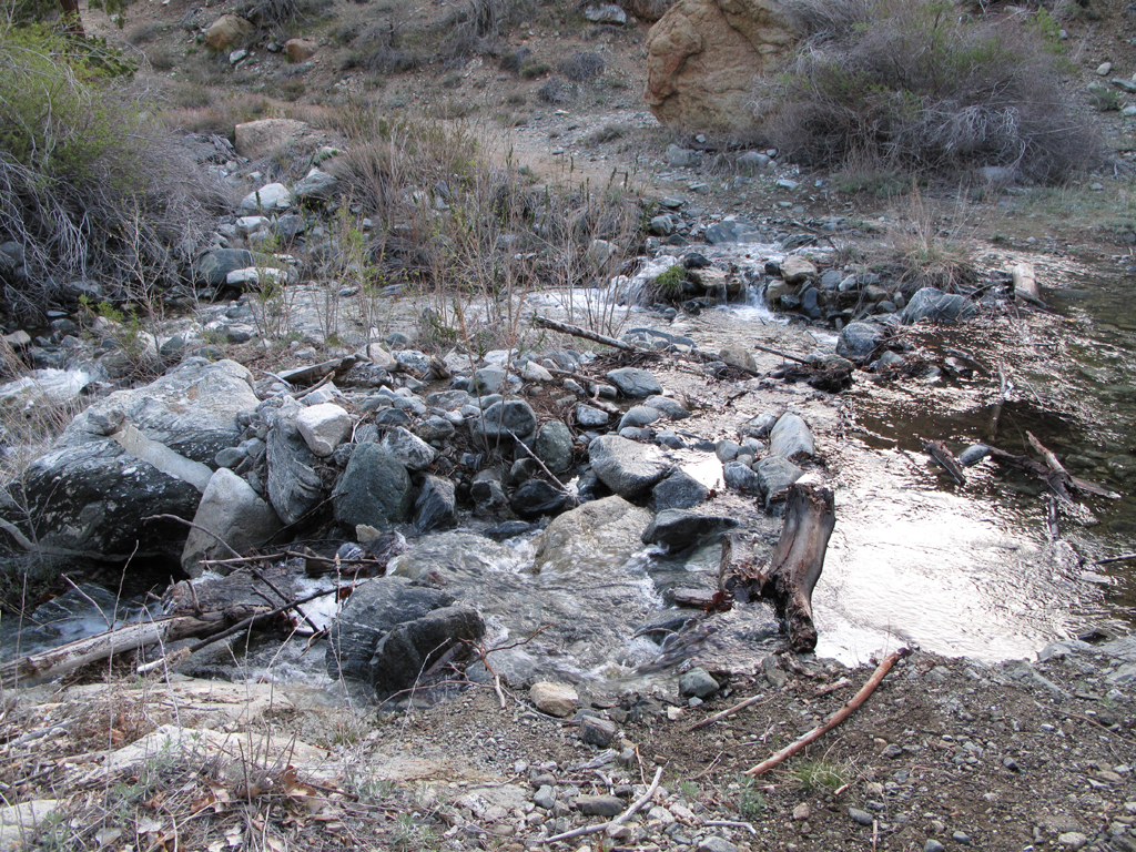
Cruther's Creek, flowing very nicely.
Burkhart Saddle, from somewhere below mile marker 5.

My turnaround point.
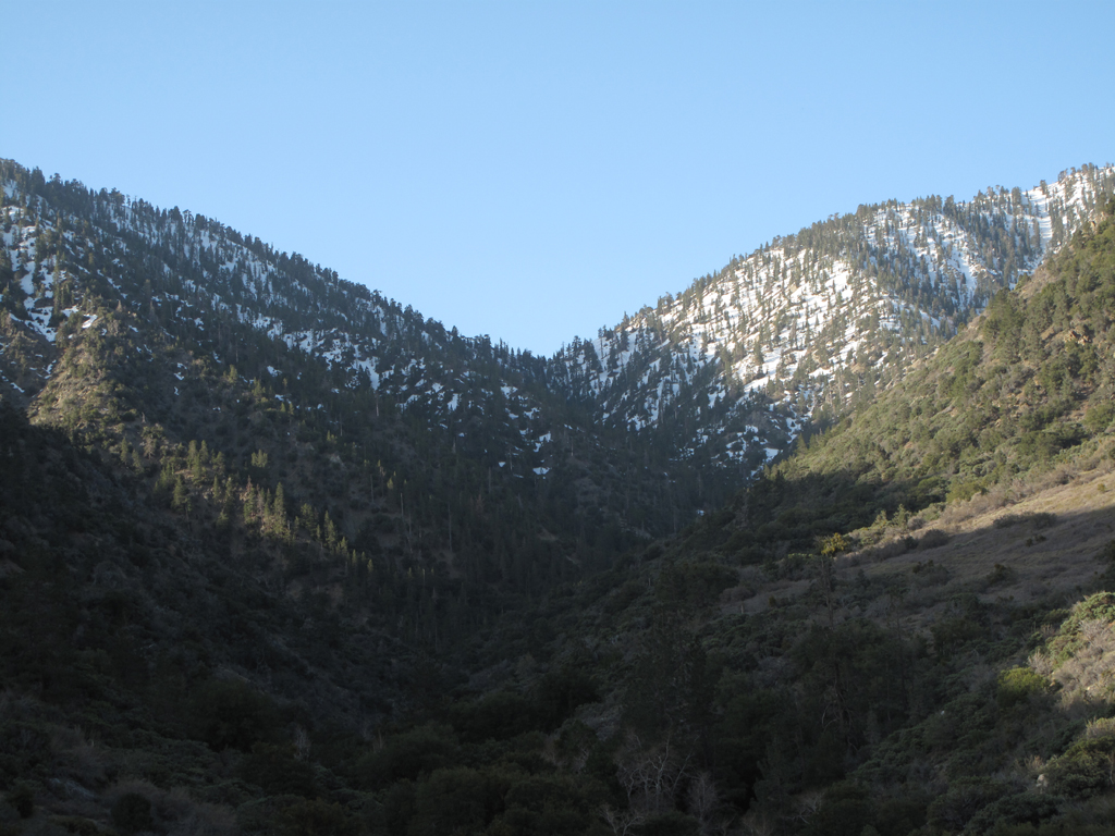
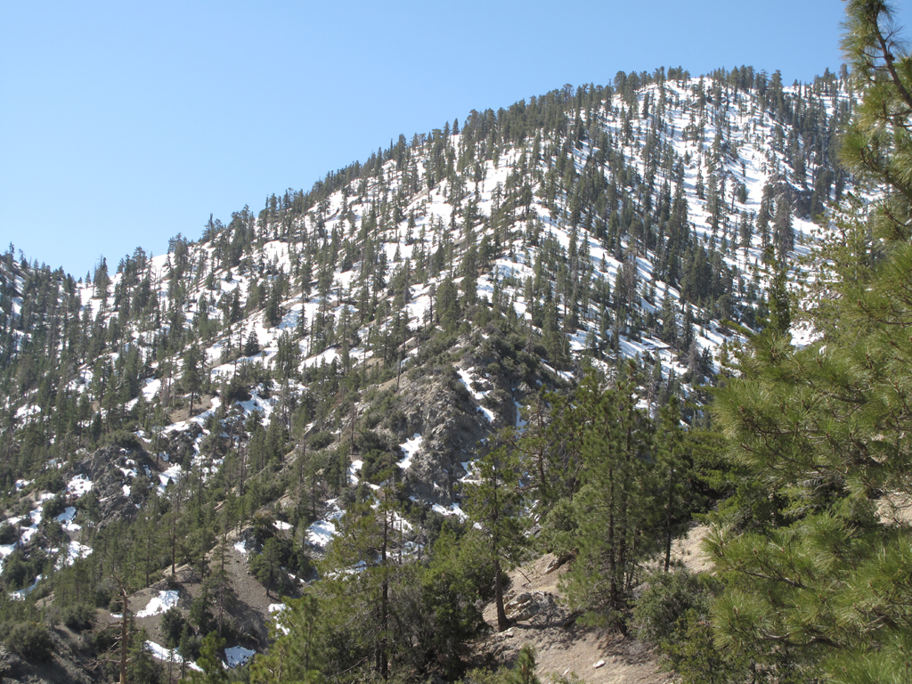
A still snowy saddle.
Eastern end of Will Thrall Peak, abutting Burkhart Saddle.
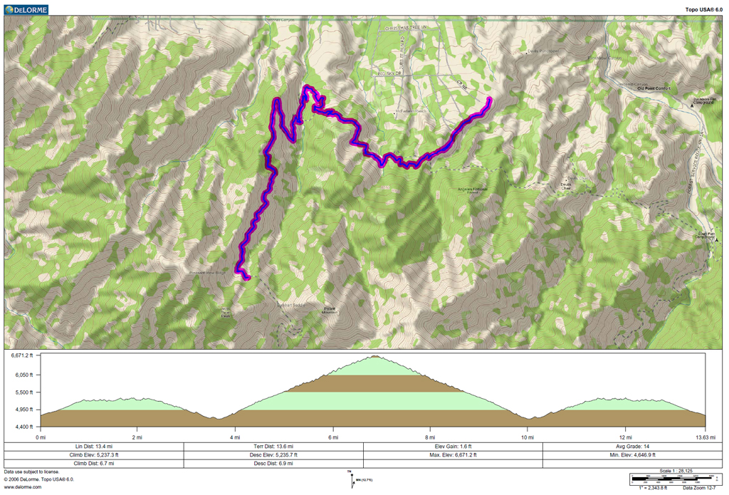
GPS track and elevation profile.
