Started off the day heading to Rattlesnake Peak to do some training, namely a "secret" long-ish rappel to and from a terrain trap, focusing on more "urban anchors" for a one man rap in full gear.
No cigar. R39 was getting some new barrier thingies put up that were burned down by the fire, and the trucks were getting dirt from Shoemaker Canyon Road.
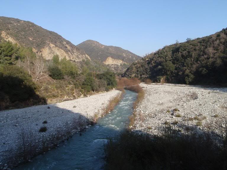
Went further back to East Fork Road, descended into East Fork at a certain point. Crossed the river a few times. VERY cold water, and my guess at depth is somewhere around 5 feet, I guess. Water was moving very quickly. It may not be deep, but with 50-60lbs of gear on, alone, without a trekking pole (note to self, get one), with those submerged bigass rocks covered with slippery algae... yeah. Take care.
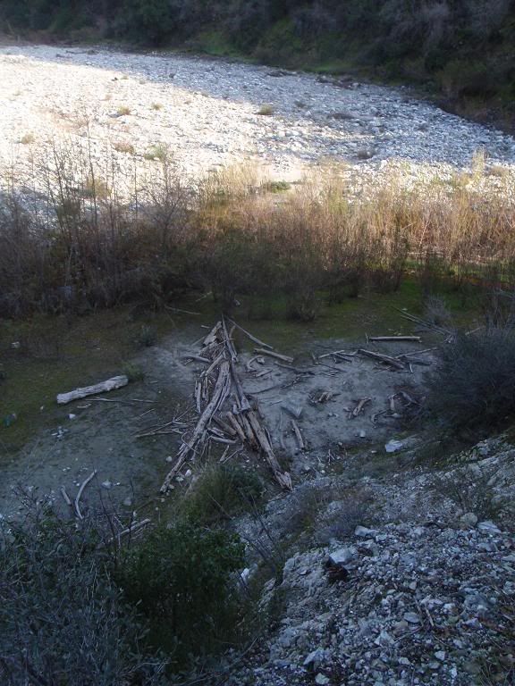
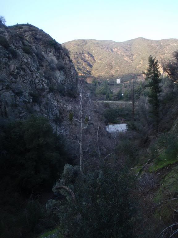
Crossed easily over the remains of a structure in the area. Shot an azimuth for the mouth of Horse Canyon, which is something I've wanted to check out since spring of last year. This is the canyon that borders GMR's north side/stage to the west.
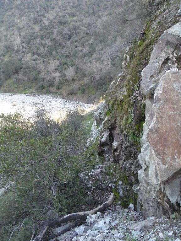
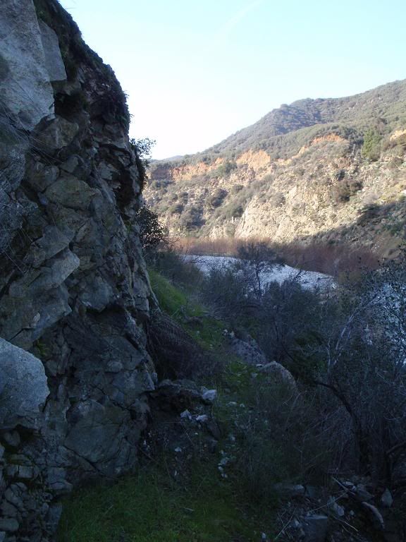
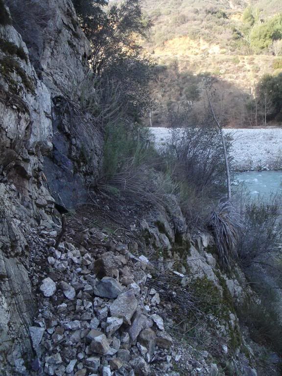
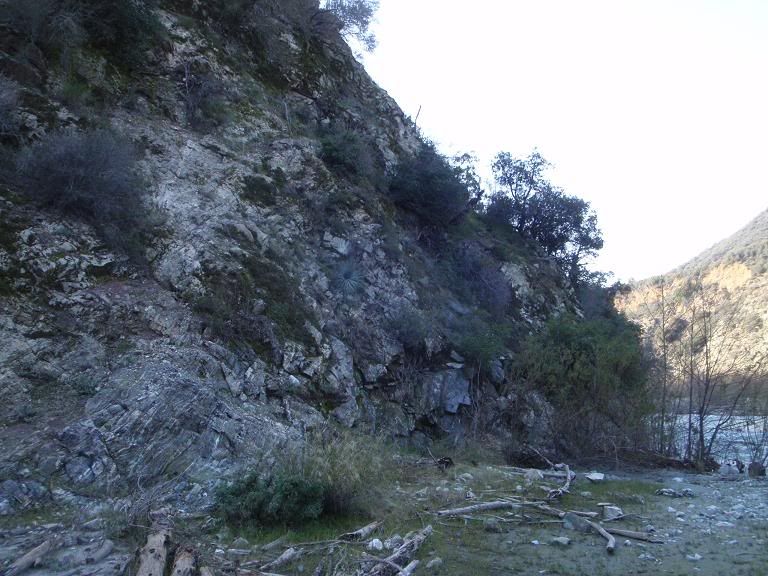
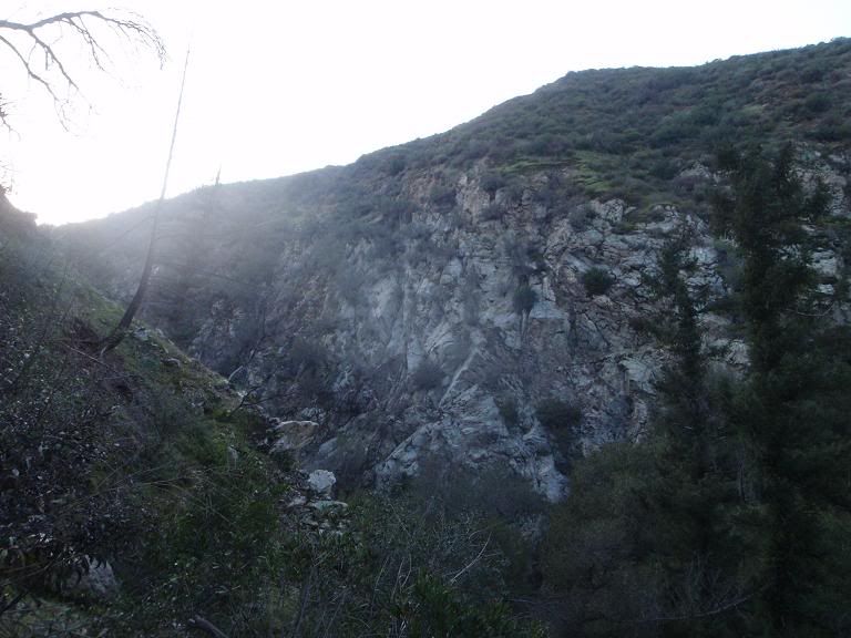
Getting into the canyon involved moving along a cliffband. Really crappy rock, big surprise there.
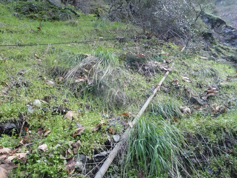
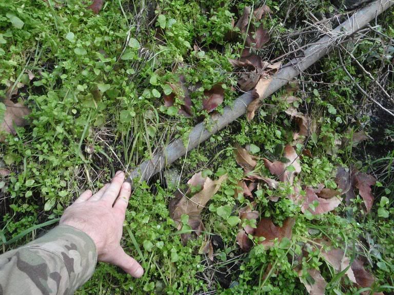
Saw a ton of pipes. Some of the trails didn't look like deer use them. I'm always paranoid of pot farms. The pipes were all steel, and judging by the rust on one open end, they'd been out-of-use for years. I'm assuming this is from building GMR? Do pot farmers ever use steel pipe?
The canyon has some cliffs, all pretty shitty rock.
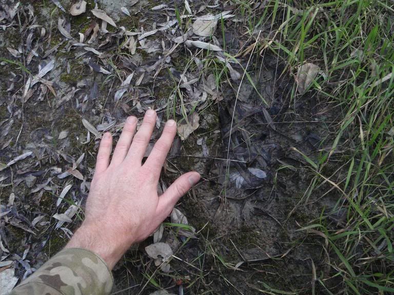
Cougarmagic, ID this track!
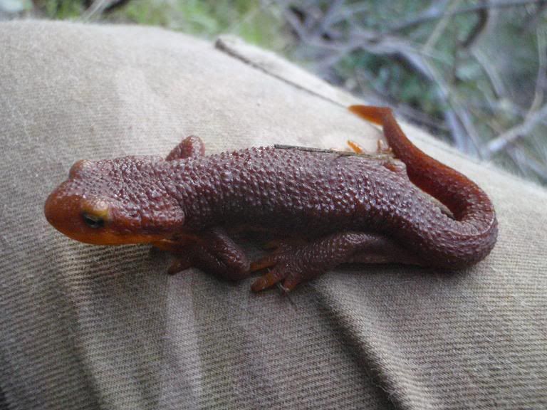
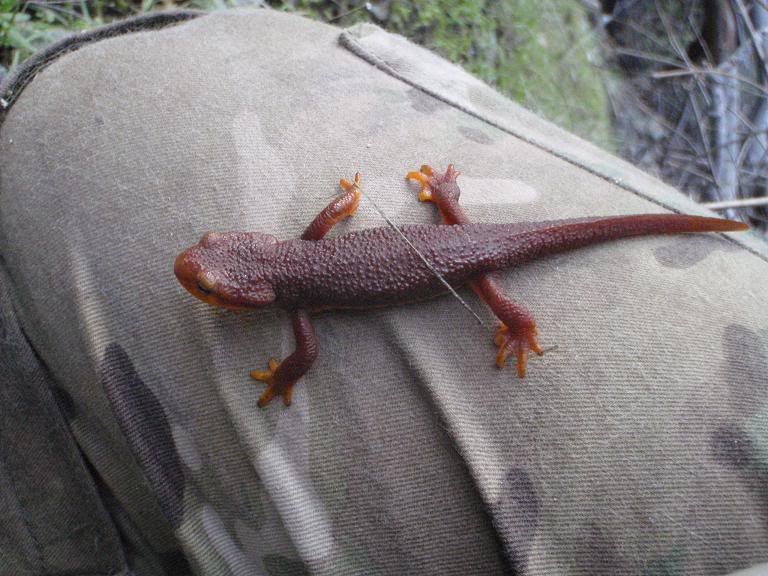
The highlight of the trip was this Taricha torosa (California Newt):

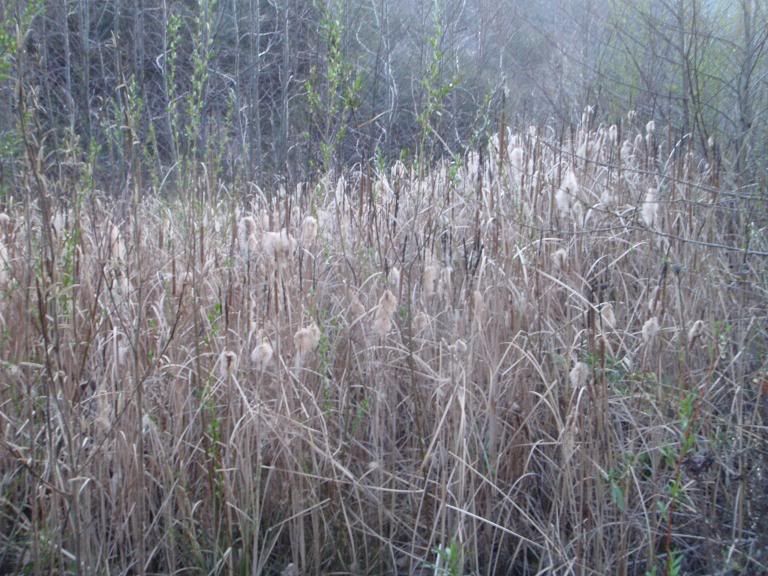
Headed home after I found nothing else. Came across some cattails.
AW, Matt... either of you guys descended this canyon before?