Manker - San Antonio - Devil's Backbone

TRs for the San Gabriel Mountains.
Post Reply
User avatar
Elwood
Posts: 612
Joined: Fri Aug 15, 2008 5:23 pm

Post by Elwood »

Early Saturday morning I hiked to Mt. San Antonio summit along with Mark, Randi and several others. Conditions couldn't have been much nicer. The temperature hovered around 32 F, except while we were cooking as the sun filled the bowl.

We started up Falls Road around 0630, as our group assembled. At the hairpin, we donned axes and crampons and headed up the gully, intercepting the well-covered ski hut trail ~ 7,500 ft. After eating and socializing at the hut for a bit, we traversed the bottom of the bowl. Once across, we grabbed the ridge at 8,800 ft and headed straight up/north to the 10,000 ft summit. Many thanks to the intrepid souls who broke the trail, saving us from a good deal of post-holing.

It was very windy on the summit, though still a comfortable 32 F. The modestly wind-sheltered area was well occupied by several groups of happy hikers. Descending via Devil's backbone was trippy. We held the ridge mostly, avoiding some amazingly corniced areas. Heavy clouds rolled in and remained until we reached the top of the ski area. Visibility was limited to less than ten feet for much of this segment.

We did our best to be good mannered on the slopes, staying well-clear of skiers and boarders. Although we had earlier considered glissade down the slopes or adjacent areas, it was the chair lift that ended up returning us to the bottom of the ski area.

Image
What do we call this gully, just east of San Antonio Falls?

Image
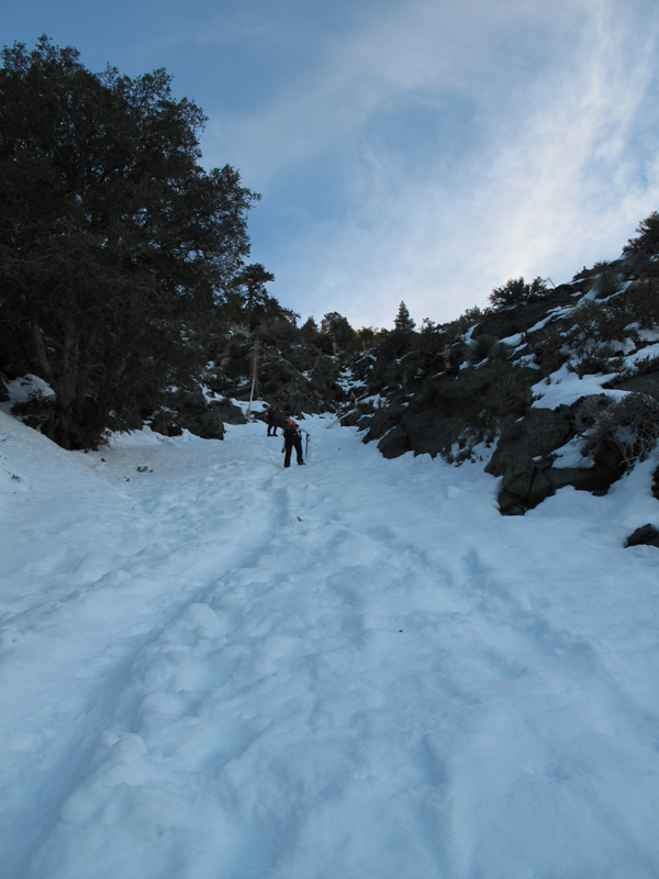
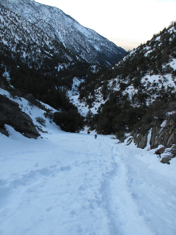
The express route to the ski hut trail.

Image
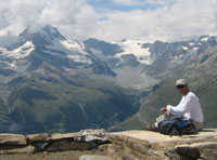
View from the San Antonio Ski Hut.

Image
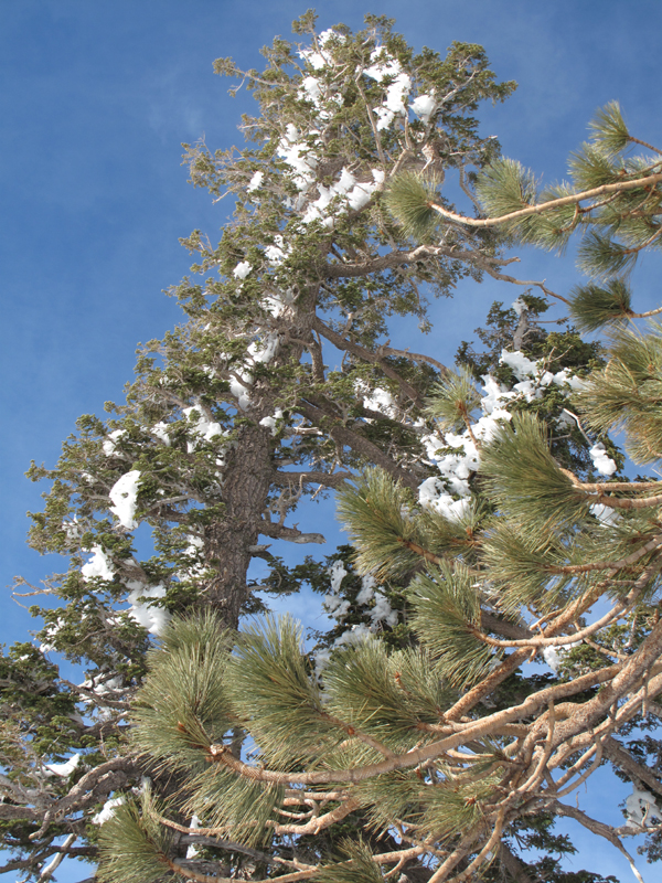
Every once and a while some of this stuff would let go and come crashing down.

Image
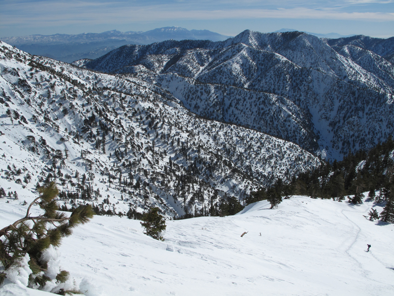
Pretty view of Baldy and across S.A. Canyon.

Image
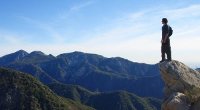
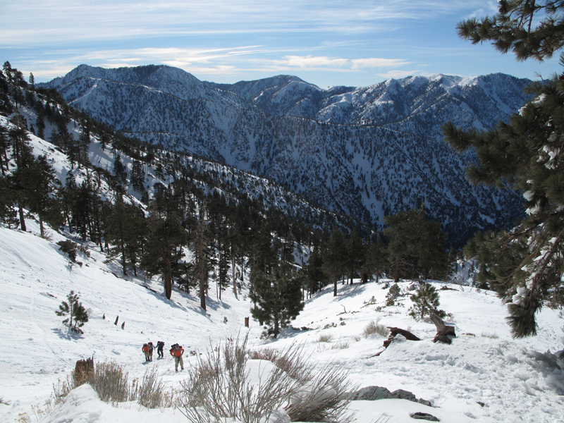
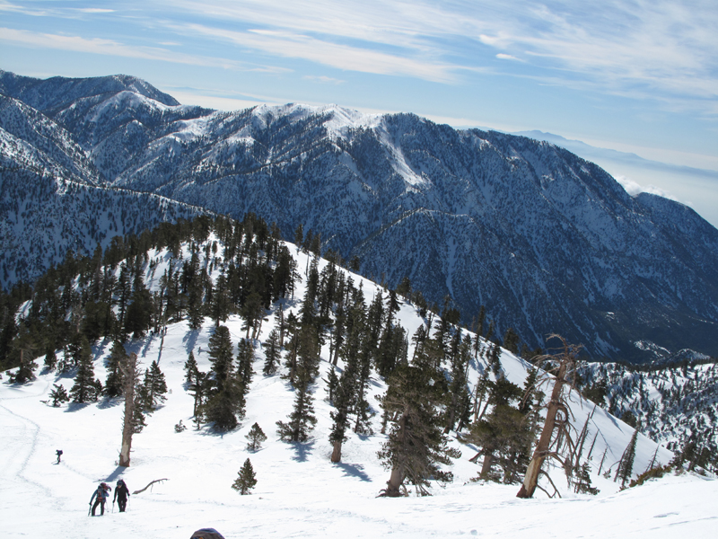
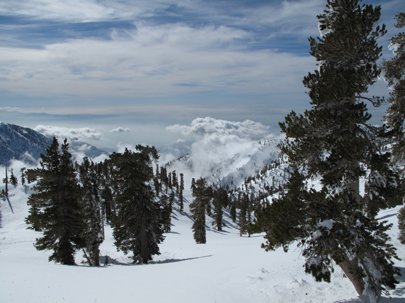
View over the Baldy Bowl towards Telegraph and points east.

Image
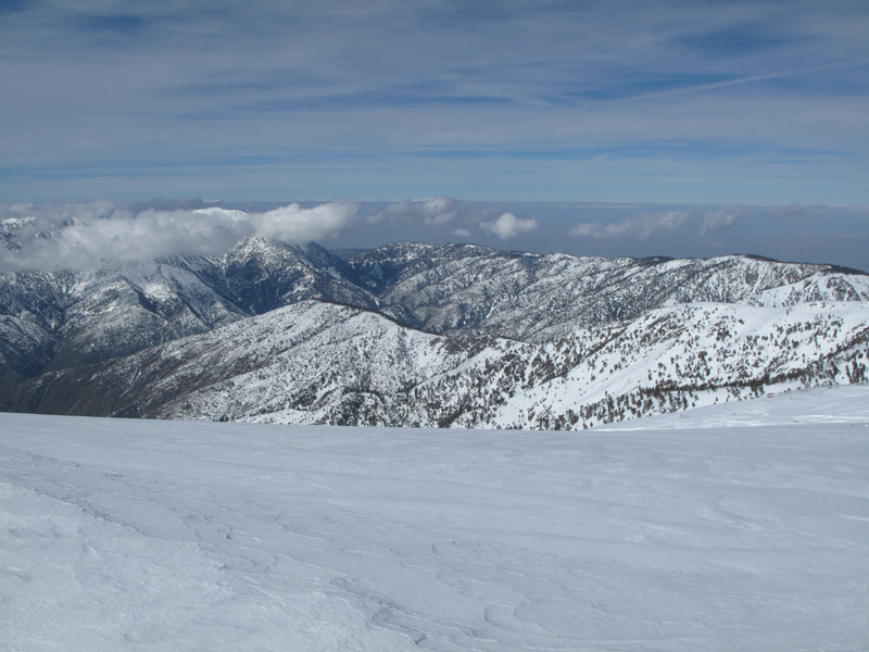
Looking towards Ontario.

Image
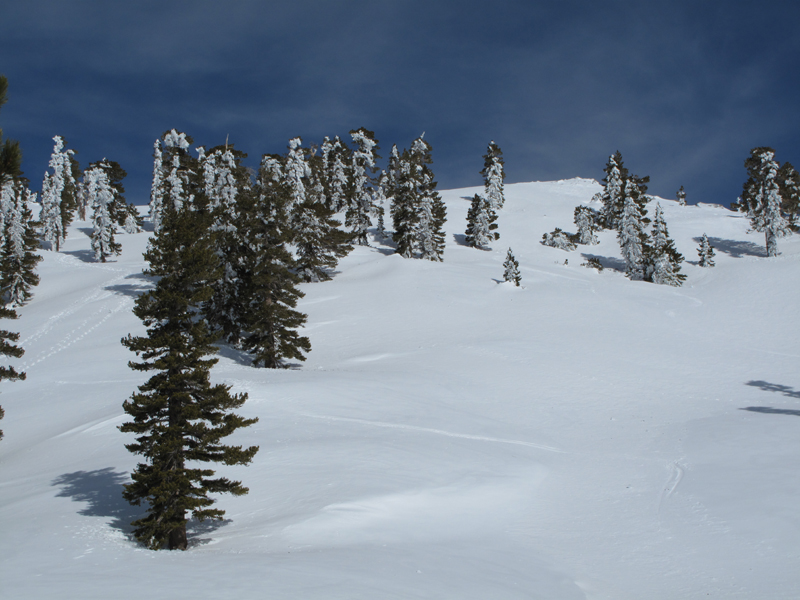
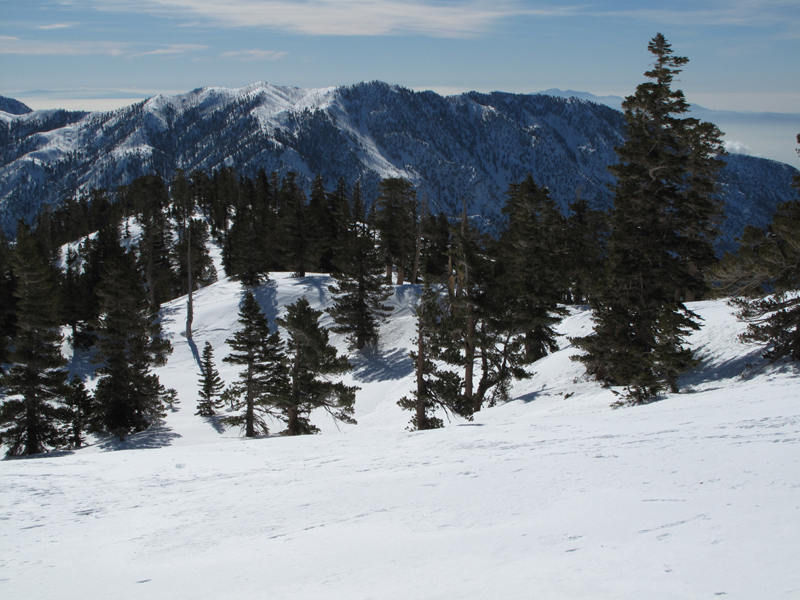
Looking up-slope, around 9,600ft.

Image
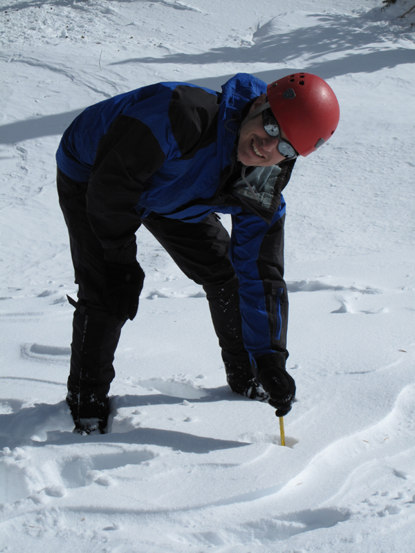
That's a 3 meter avalanche probe submerged, in Mark's hand.

Image
Looking down towards San Antonio Canyon.

Image
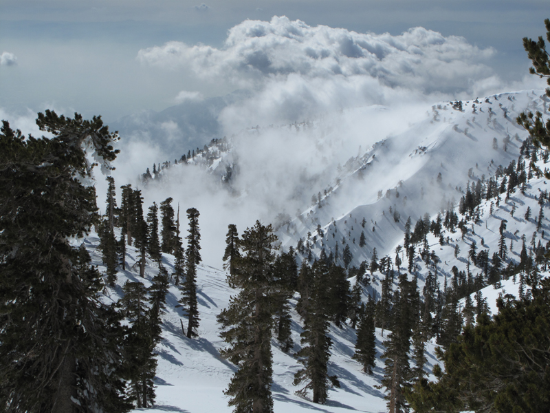
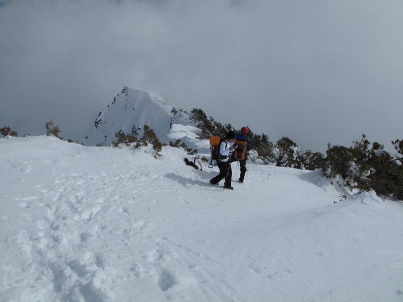
Clouds blowing in towards the Baldy Bowl and Devil's Backbone.

Image
Looking towards Palmdale, over Pine Mountain ridge and Vincent Gap.

Image
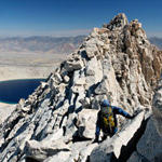
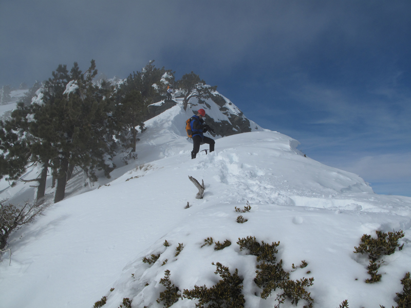
Ridge above the Devil's Backbone Trail, looking towards Mt. Baldy.

Image
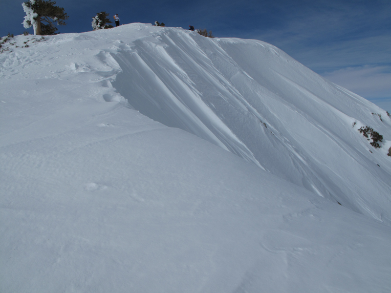
Looking down the Devil's Backbone.

Image
Looking up the backbone as the clouds blew through.

Image
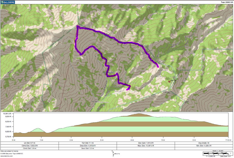
GPS track and elevation profile.
User avatar
platypii
Posts: 55
Joined: Mon Jan 26, 2009 4:58 am

Post by platypii »

Great TR!

I've always wondered about that gully. I ended up walking the whole way back on the ski hut trail on friday, but I guess I should have snowboarded down the 'express route'! I was afraid of finding myself at the top of San Antonio Falls without a rope :shock:
User avatar
He219
Posts: 386
Joined: Thu Sep 27, 2007 11:18 pm

Post by He219 »

Nice, Elwood!
Looks great.
:)

The gully takes you right to the turn at the falls road, platypii.
Just watch out for those yuccas on that slope ..
User avatar
lilbitmo
Posts: 1092
Joined: Tue Mar 04, 2008 9:44 pm

Post by lilbitmo »

Nice work Elwood, looks like an great day to be on the mountain. Pictures say it all. How deep was the snow on the Devil's Backbone and once past Harwood, how many tracks were there?
User avatar
rockboy
Posts: 12
Joined: Mon Aug 31, 2009 5:50 pm

Post by rockboy »

Very nice trip, Elwood. Thanks for the pix.
User avatar
406
Posts: 321
Joined: Thu Jan 17, 2008 10:36 am

Post by 406 »

nice tr.
User avatar
edenooch
Posts: 504
Joined: Fri Jul 03, 2009 7:42 pm

Post by edenooch »

nice
User avatar
Elwood
Posts: 612
Joined: Fri Aug 15, 2008 5:23 pm

Post by Elwood »

Hey lilbitmo:

We didn't measure the snow on the backbone. I'd guess six-ish feet at its deepest. There was exposed rock on the bowl side if that's any useful indication. There were two or three sets of tracks ahead of ours; snowshoes and some crampons.
User avatar
turtle
Posts: 152
Joined: Wed Jan 27, 2010 11:35 am

Post by turtle »

Elwood wrote:Early Saturday morning I hiked to Mt. San Antonio summit along with Mark, Randi and several others.
I've put a few of my pictures from this outing on Flickr.

Slideshow
Set

For those asking about the cornices on the Devil's Backbone...
They were the largest I've ever seen in the San Gabriels. In one of the linked pictures you'll see Elwood carefully navigating around one of the more substantial ones. A few had lateral overhangs of 2m+. :shock:
User avatar
GigaMike
Posts: 164
Joined: Sun Feb 24, 2008 4:37 pm

Post by GigaMike »

I'm digging that nice chute near the falls. Now that's a shortcut!
Post Reply