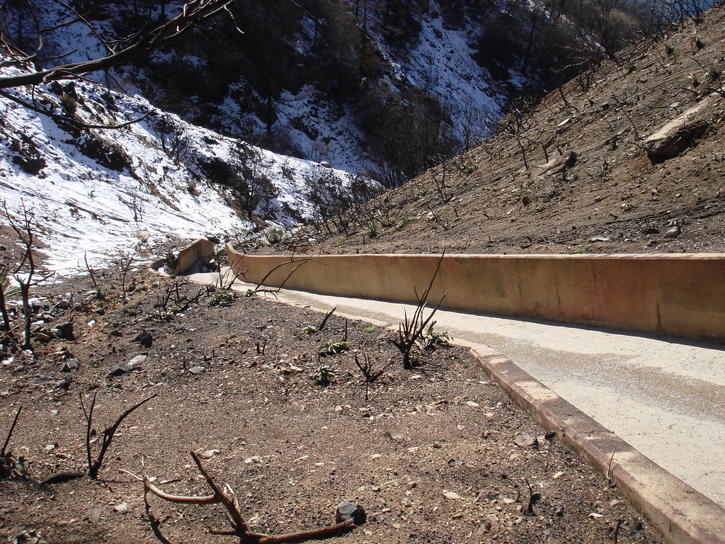
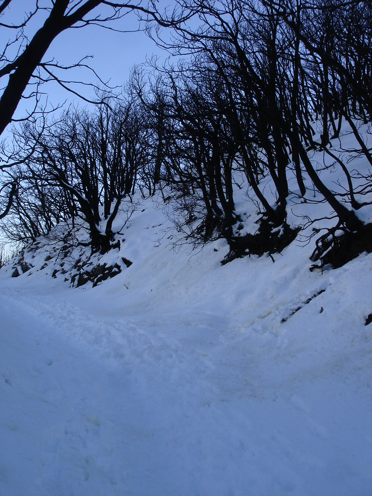
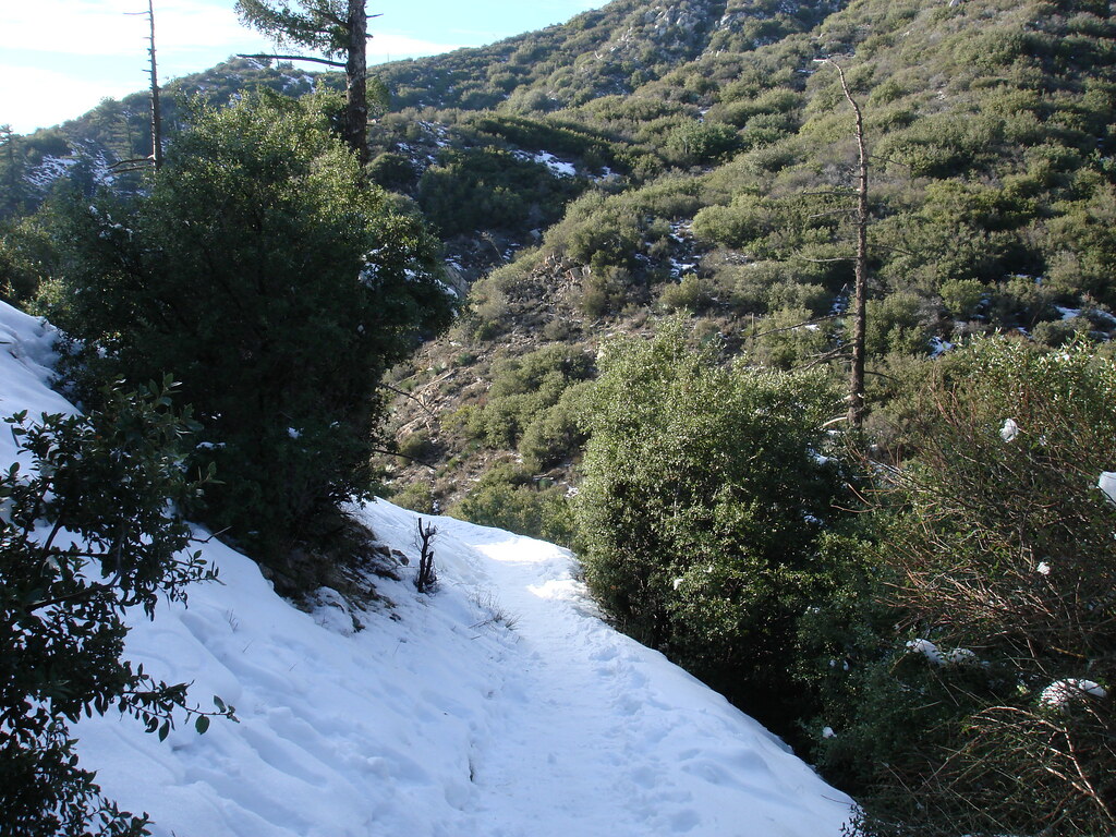
Took the fire road up to go get inspired today. never been there with snow. And theres about a 3 miles strech of the road that is ice and slush.
Very good day to go up. even saw some familiar faces.
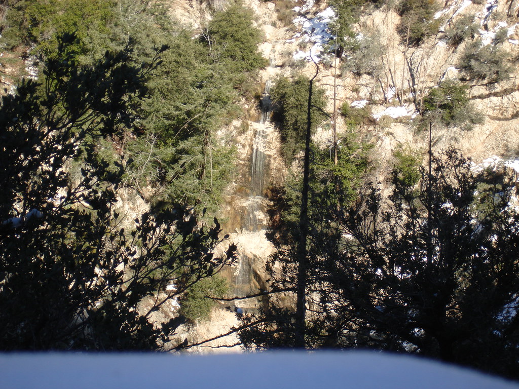
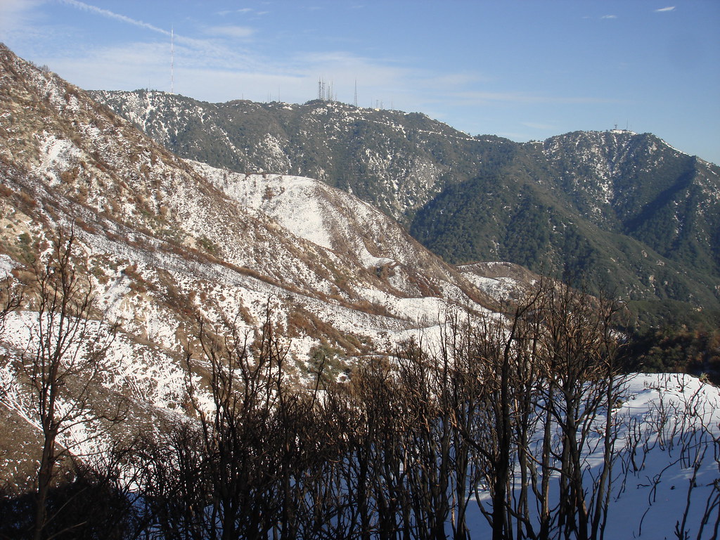
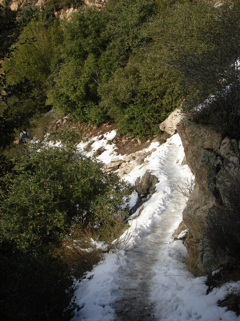
Small seasonal falls of mount lowe
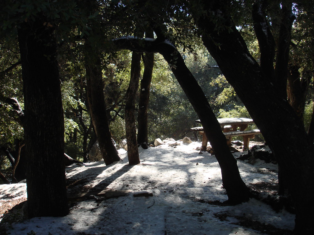
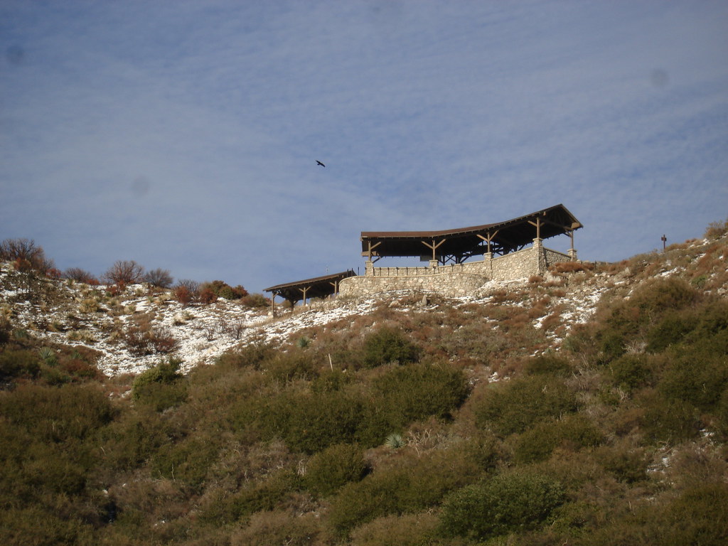
MT LOWE CAMP
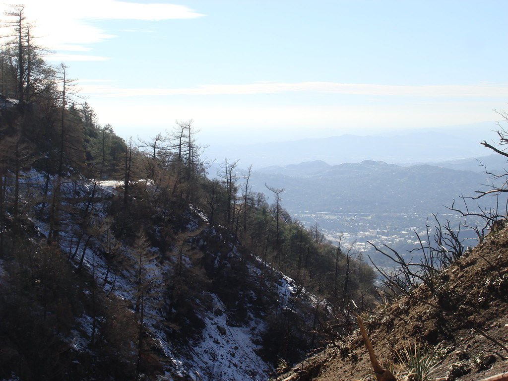
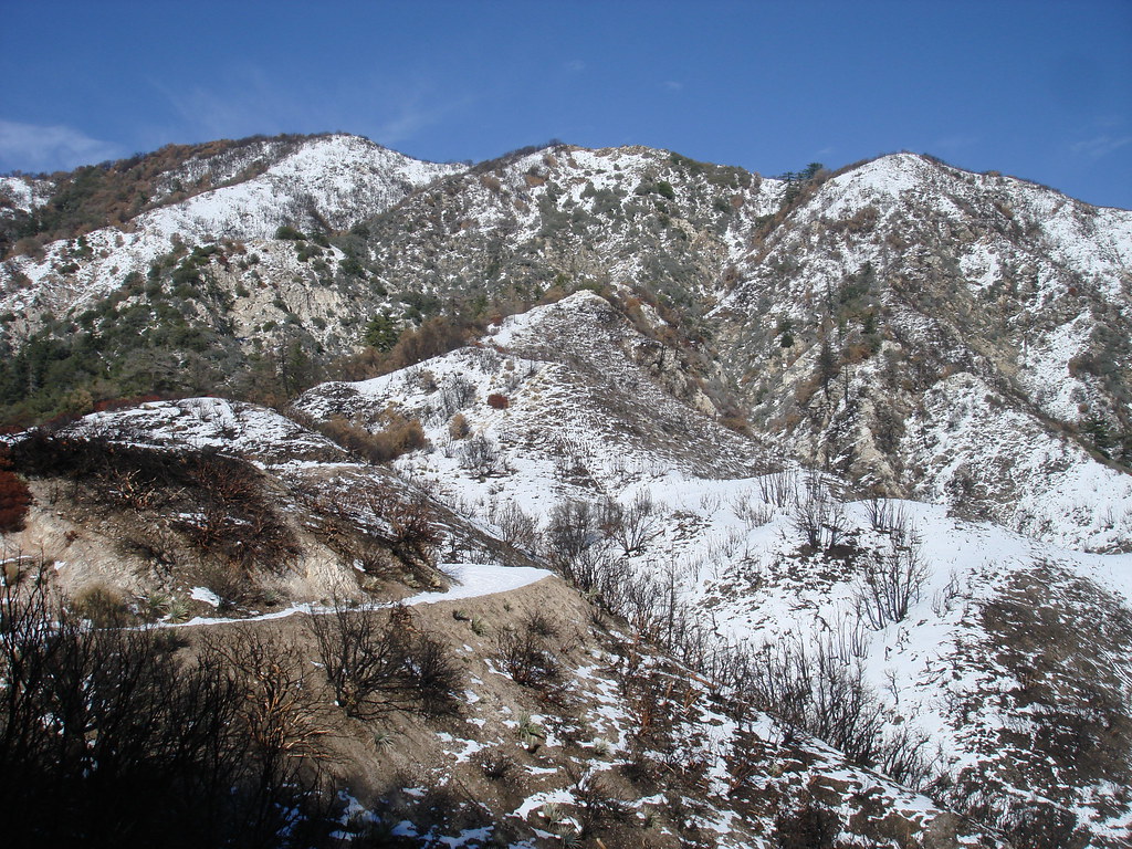
This section was wierd. just before ins pt u look left and it looks like a desert. look right and its this dead winter scene
Was up there today too! Went up that steep ridge thing on west San Flores; up to the road; on Sunset Ridge to Inspiration Point; down Castle Canyon to Echo Mtn.; then down Lower Sam Merrill. I noticed they removed the trail closure signs on Echo Mtn.
Was surprised at all that snow and ice not far from Mt. Lowe campgrounds.
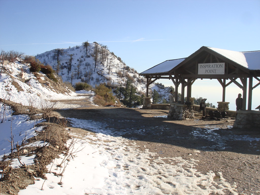
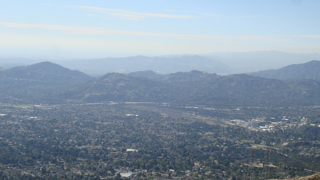
Approaching Inspiration Point.