Middle Fork, Lytle Creek - Icehouse Saddle

TRs for the San Gabriel Mountains.
Post Reply
User avatar
Elwood
Posts: 612
Joined: Fri Aug 15, 2008 5:23 pm

Post by Elwood »

Although I had originally planned to hike up Iron Mountain yesterday, I acceded to my wife's wishes and undertook something less ambitious. 2N58 was really bouncy in spots, even in my jeep. Ascending, I had the entire trail to myself. Upon returning I passed a foreign couple (German, perhaps) and several pair of lightly-equipped day hikers. Weather couldn't have been much nicer; occasionally clear and sunny otherwise windy and overcast. Crampons were a necessity (at least for me) on the half-mile or so of trail below the saddle. I found it easier to leave them on for the interspersed sections of clear dry trail within this section. I suspect I'll be resharpening them soon. With any luck, conditions here will be snow, snow, and more snow by week's end.

Image
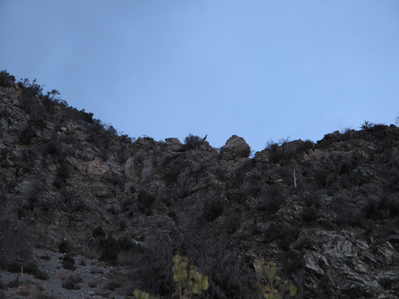
I looked up to this ridge just after dawn and saw...

Image
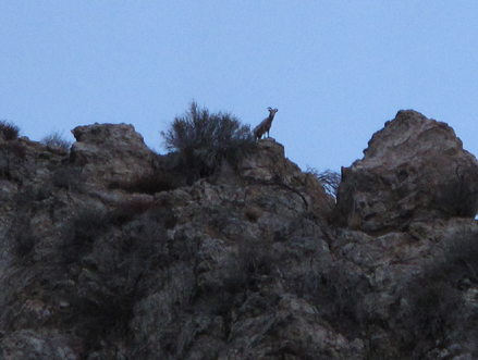
This ovis canadensis nelsoni.

Image
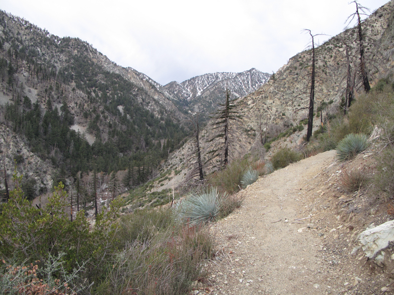
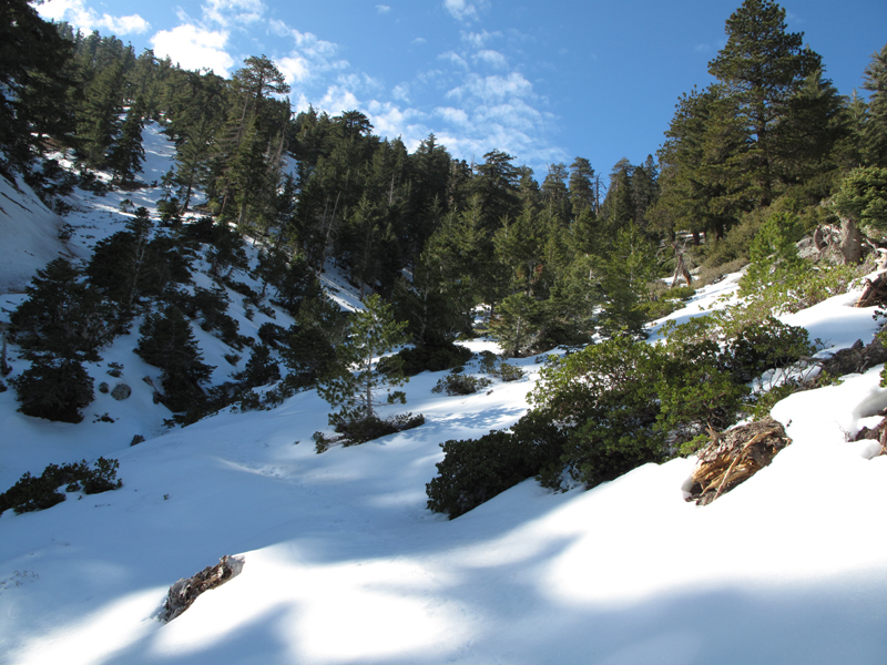
Looking up the middle fork towards the T's.

Image
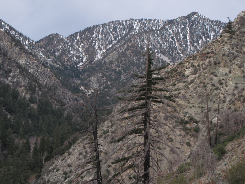
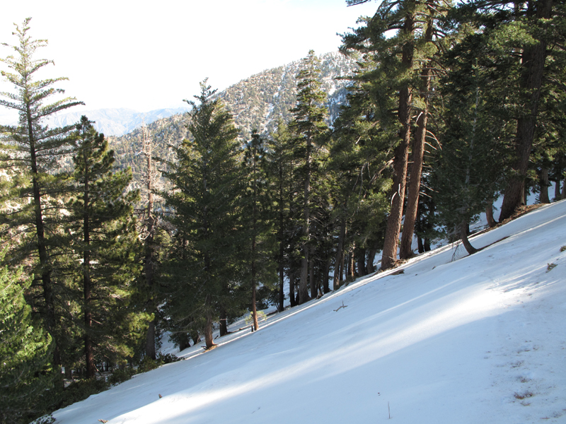
Remaining snow echos conditions on other ~8,000 footers in the range.

Image
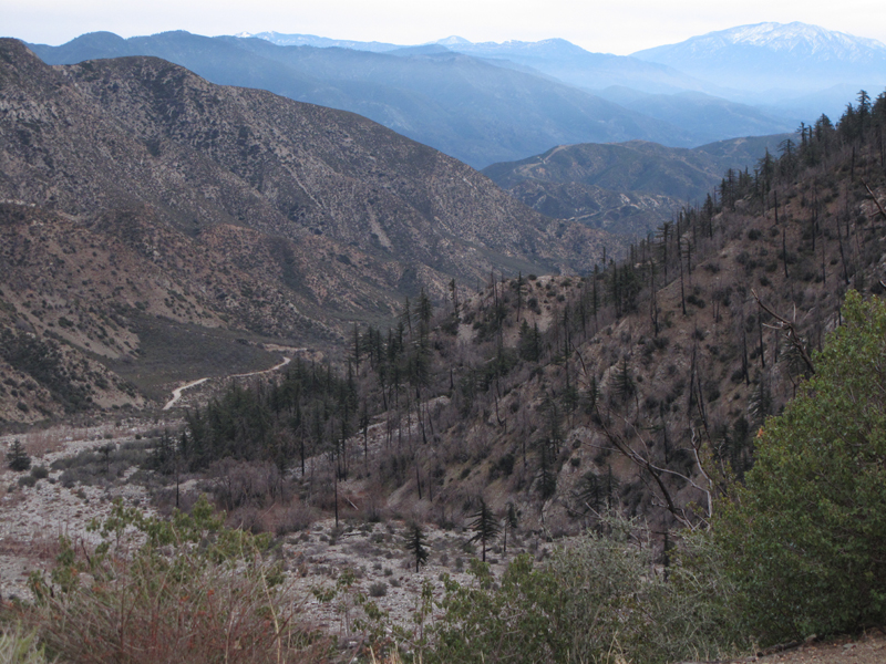
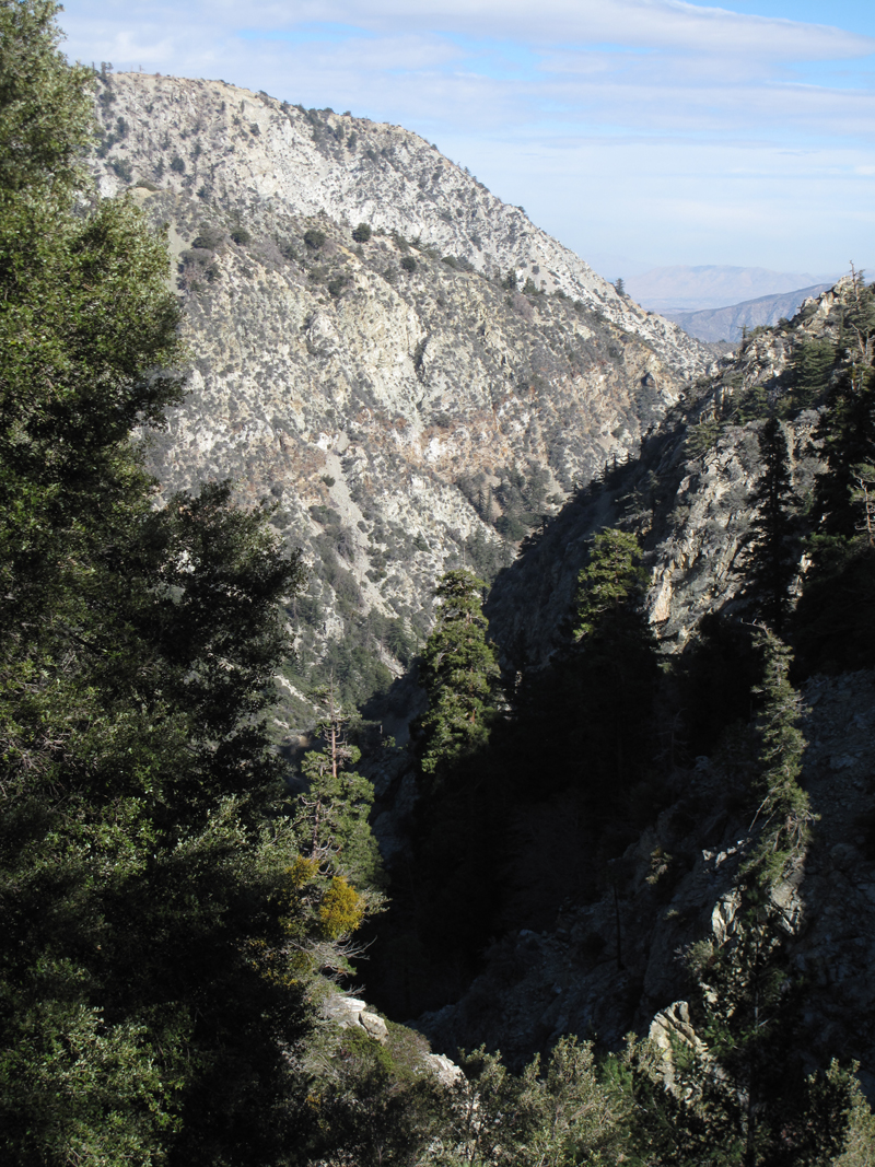
Morning view east, down the fork towards the Bernardinos, et al.

Image
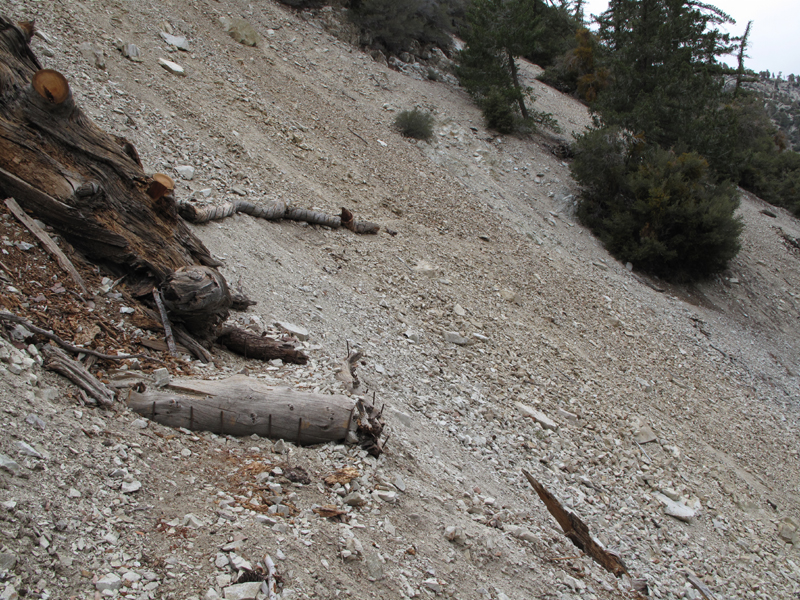
Interesting trail reinforcement in scree. Those logs are held in place with small (3/8" to 1/2" diameter) lengths of re-bar.

Image
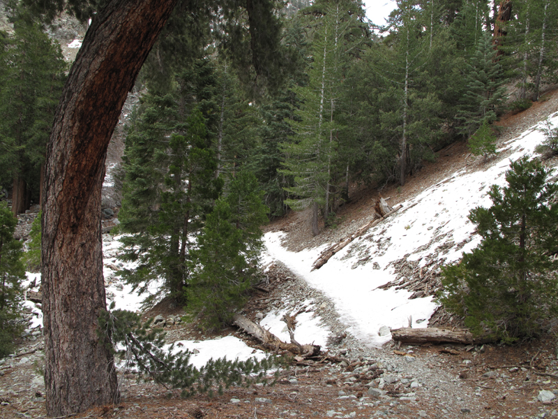
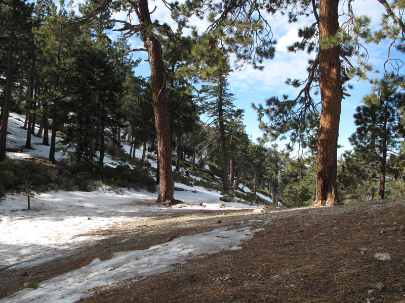
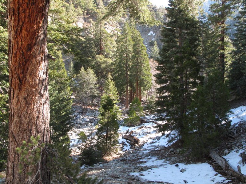
Beginning of the snowy part of this hike, ~ 6,926 ft.

Image
Conditions on Icehouse Saddle, ~ 1100 PST.

Image
Middle Fork Trail below the saddle. Definitely hard enough for crampons and axe.

Image
More of the trail below Icehouse Saddle.

Image
Looking up towards IHS at the switchbacks under hard snow.

Image
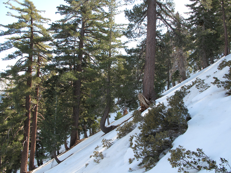
Middle Fork Trail area, not too far from Stonehouse Crossing.

Image
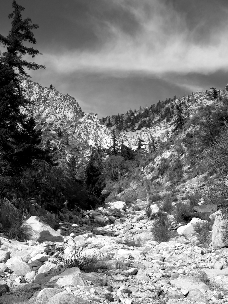
Gratuitous photoshop treatment of a view up the drainage below the 7,405' bump.

Image
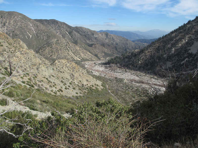
Afternoon view down the middle fork of Lytle Creek.

Image
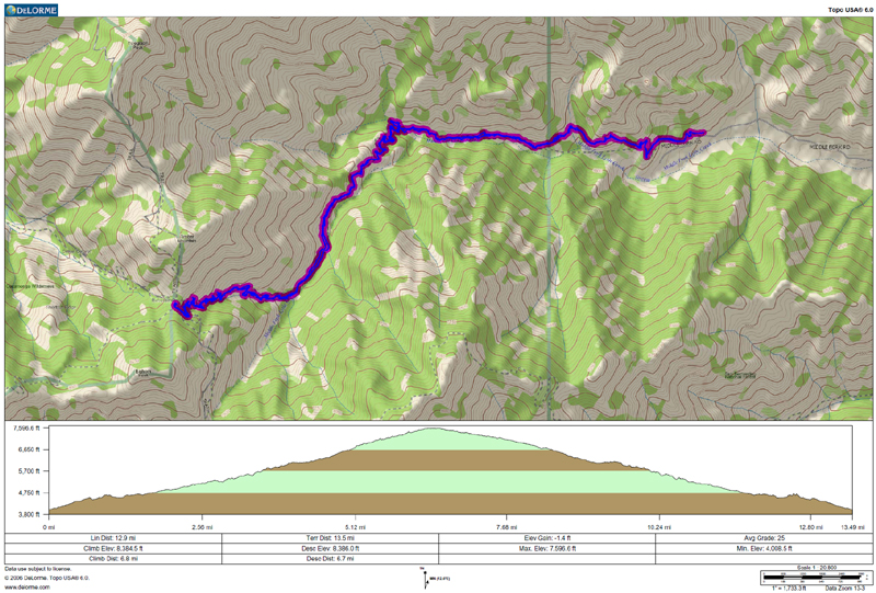
GPS track and elevation plot.
User avatar
lilbitmo
Posts: 1092
Joined: Tue Mar 04, 2008 9:44 pm

Post by lilbitmo »

Nice report Elwood, one these days I have to do the saddle from that side. Any chance you can send me directions to that trailhead, I've never gone up that way so I do not know which roads to take to get back there? Thanks in advance.

Great photo's as well.

Will post a TR on bagging East and West Dobbs, from yesterday.

:D
User avatar
Bill
Posts: 332
Joined: Thu Jul 24, 2008 6:09 pm

Post by Bill »

I love that trail! Nice TR as usual. 8)
User avatar
Taco
Snownado survivor
Posts: 6014
Joined: Thu Sep 27, 2007 4:35 pm

Post by Taco »

How's that rock near the trail? Anyone got pics of the various crags?
User avatar
Elwood
Posts: 612
Joined: Fri Aug 15, 2008 5:23 pm

Post by Elwood »

Hey Taco!

The crags on the south (Cucamonga) side of the trail are intriguing. They look kinda' chossy. I've got to find my pictures from an earlier trip that show this rock off better.

Image
User avatar
RichardK
Posts: 727
Joined: Sun Sep 30, 2007 12:33 pm

Post by RichardK »

Nice report Elwood. Thanks for posting.

I think it was Hikin Jim who reported that this trail had a section wiped out in a land slide. Did you notice anything like that? Has that section been repaired or was it buried under snow?
Post Reply