Cima Mesa - Twin Peaks Trail

TRs for the San Gabriel Mountains.
Post Reply
User avatar
Elwood
Posts: 612
Joined: Fri Aug 15, 2008 5:23 pm

Post by Elwood »

After studying FM 21-75/Appendix F for a while, my evil twin brother Jake decided to see what the Three Points area and the trail to Twin Peaks were looking like post-fire / pre-winter. He parked by the former beehives above Cima Mesa and hiked up and over the adjacent saddle. There's a faint use trail down the gully on the south side that leads down to 4N15. He was on the hoof at 0713 and back at his car (which looks strikingly similar to mine) at 1755.

Image
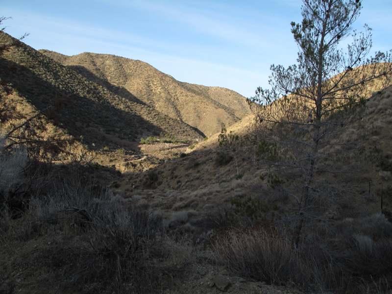
Looking down the use trail and Little Rock Creek. That's 5N04.3 heading towards the dam.

Image
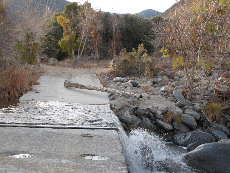
Little Rock Creek crossing 5N04.3 at Little Sycamore CG. Teeming with more MYLFs than an O.C. subdivision.

Image
Pleasant View of PVR from Little Rock Road.

Image
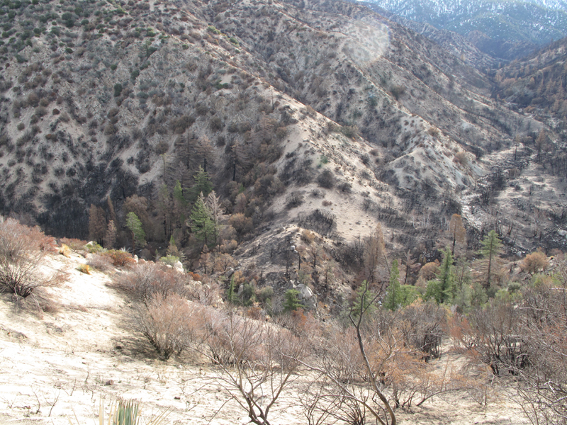
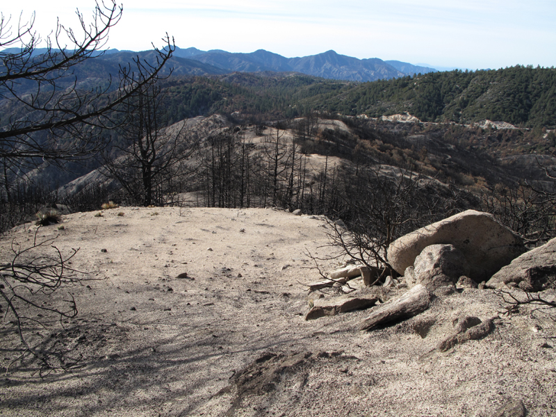
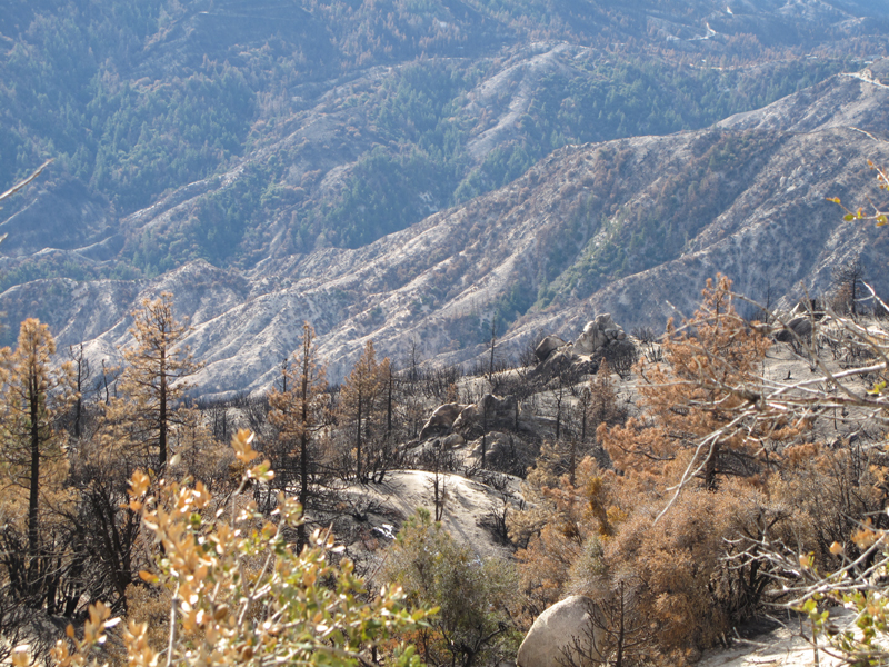
Southern perimeter of the Station burn in Little Rock Creek.

Image
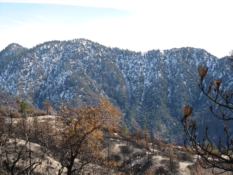
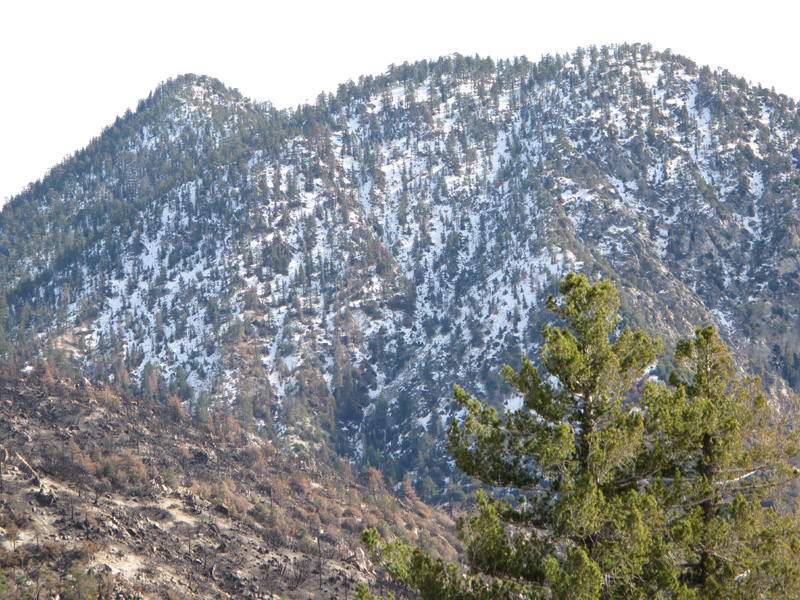
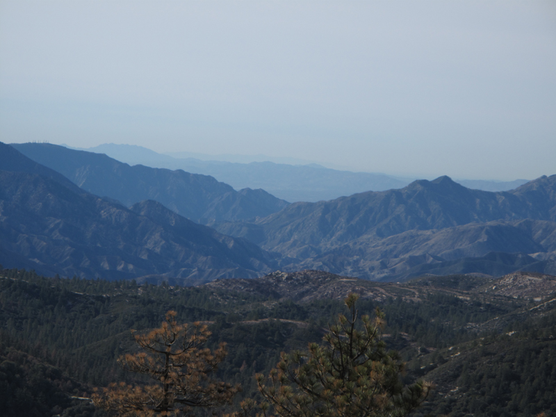
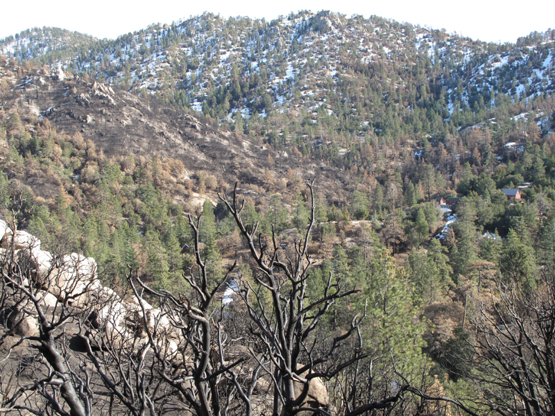
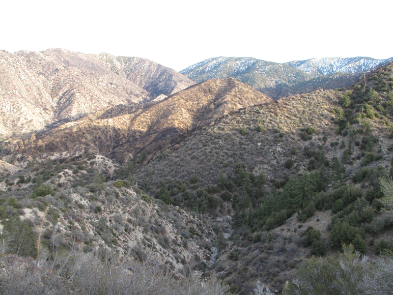
Crispy Winston Ridge and snowy Winston Peak.

Image
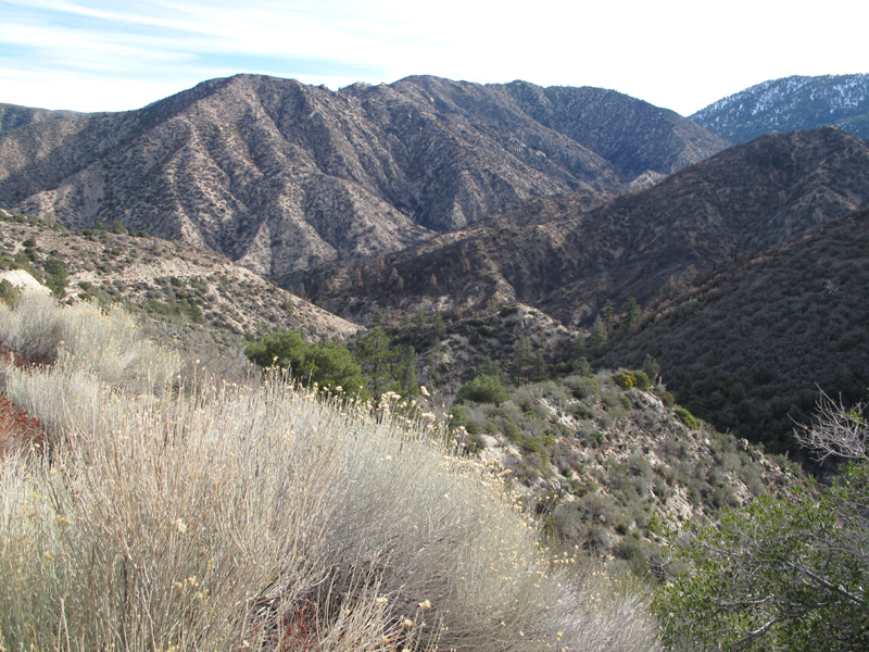
Winston Ridge and Squaw Canyon separator.

Image
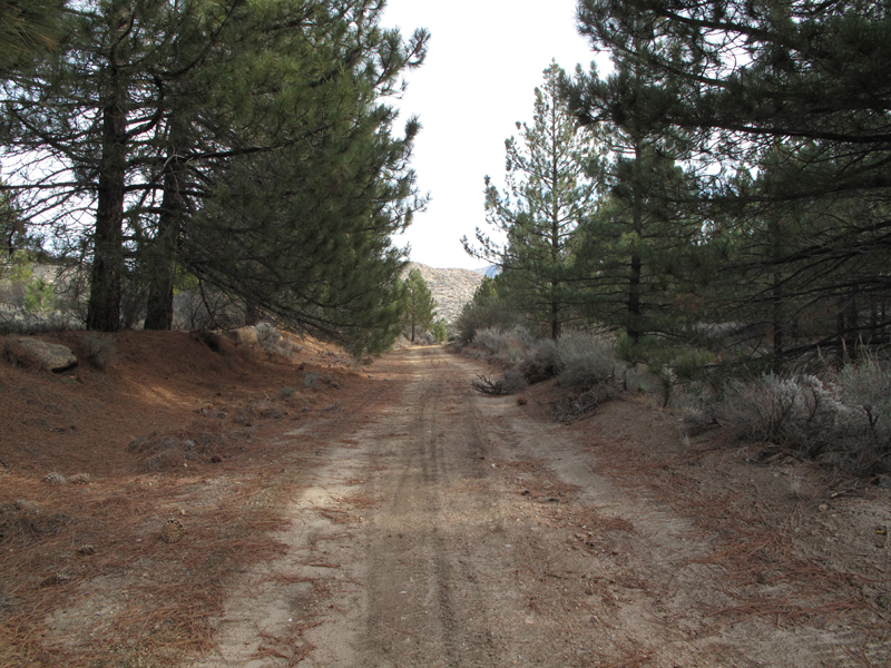
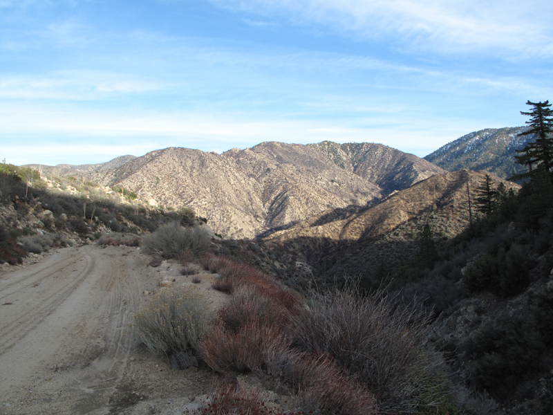
Road through Pinyon Flats (5N04.4).

Image
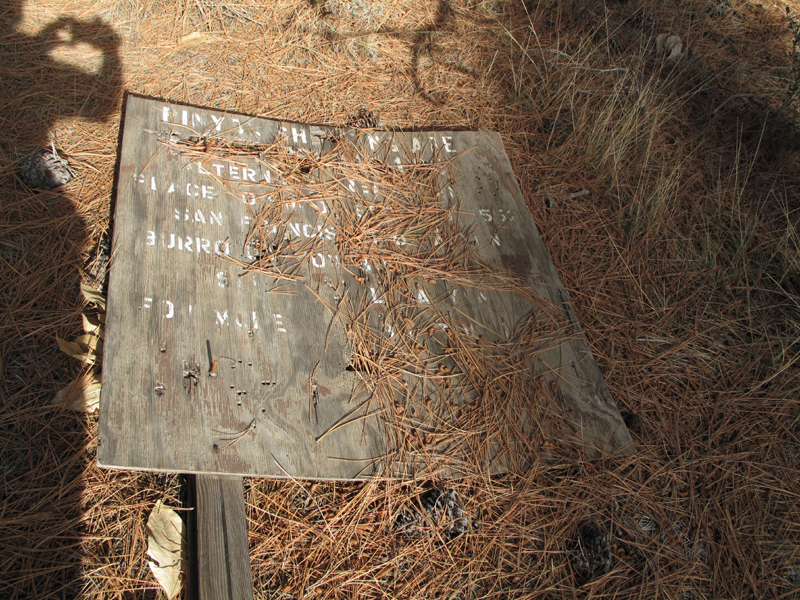
Sign from when shooting sports had a respected place in the Angeles.

Image
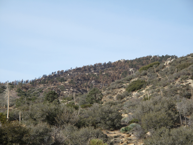
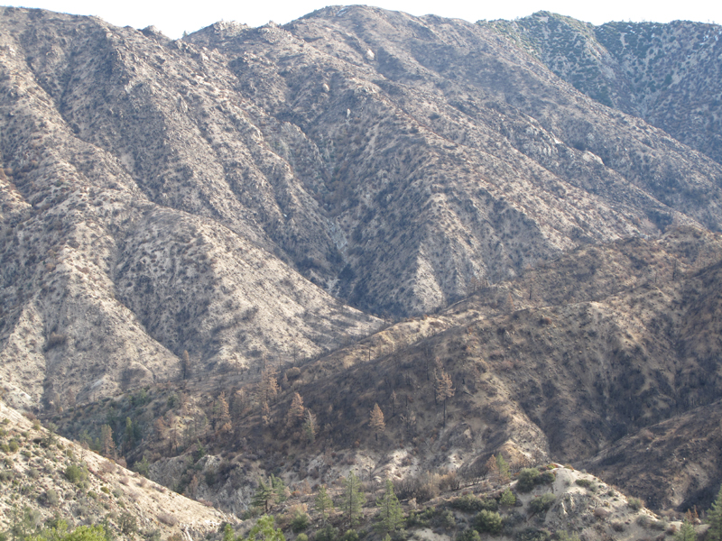
Pacifico Mountain, somewhat toasted.

Image
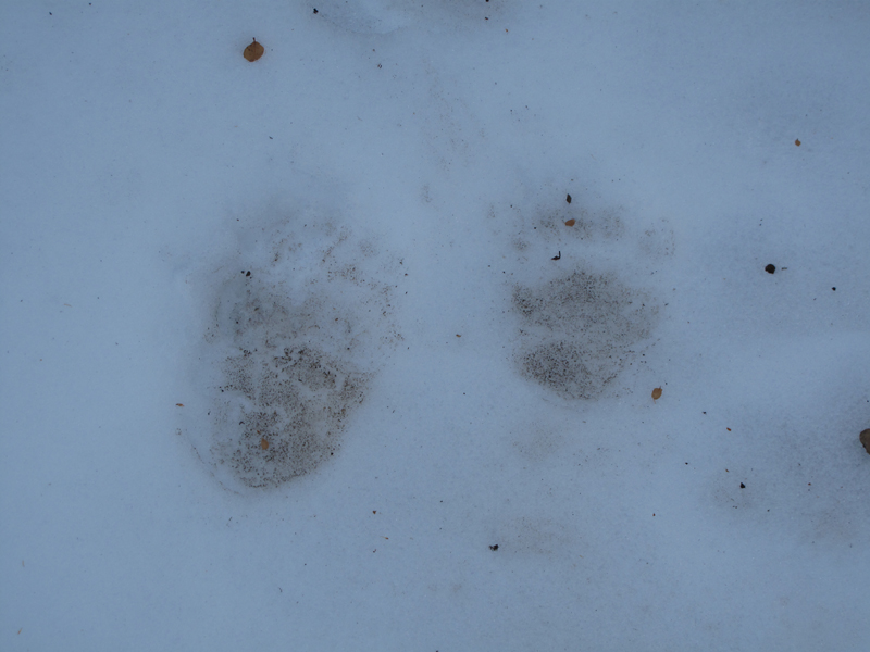
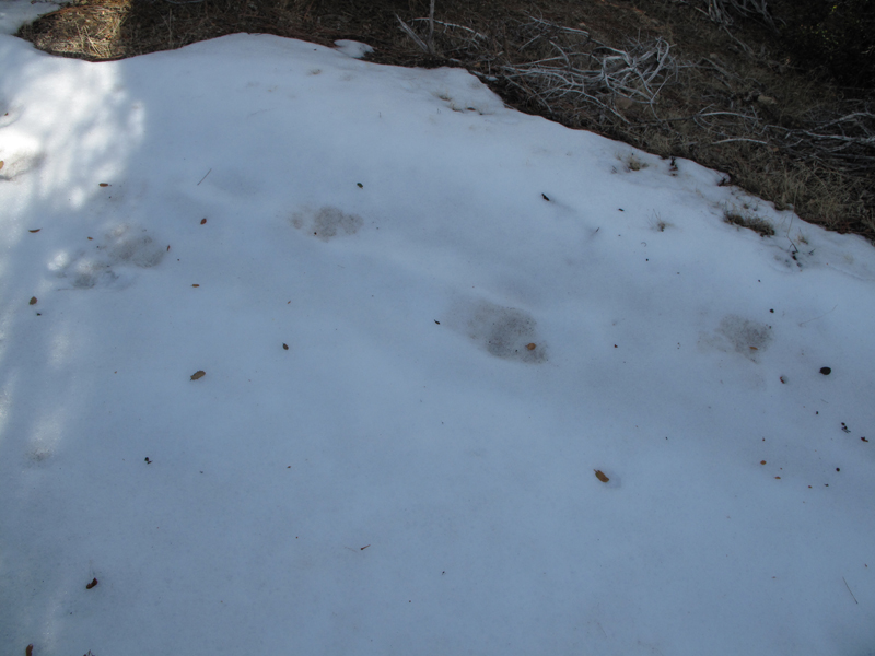
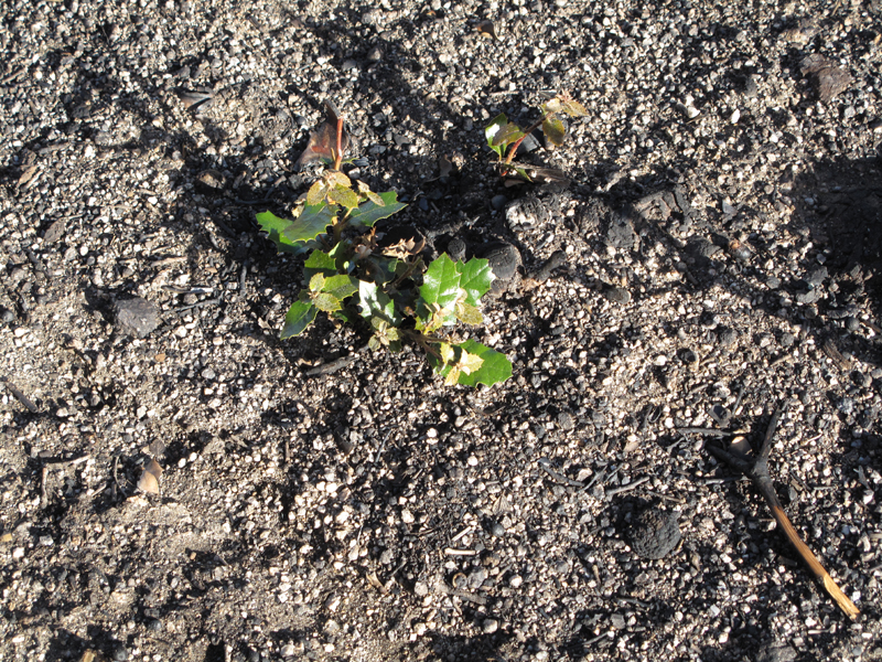
Apparently someone didn't get the e-mail about hibernatin'.

Image
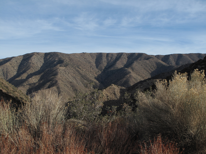
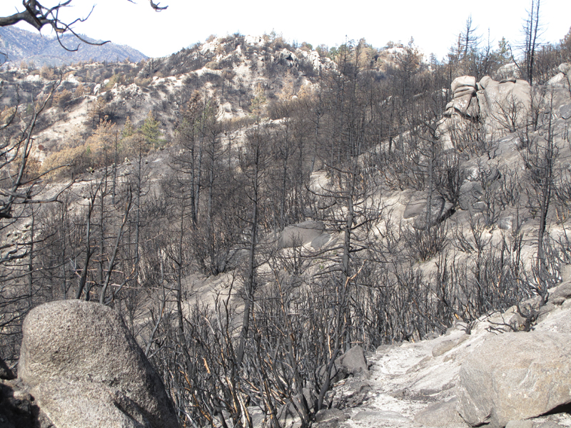
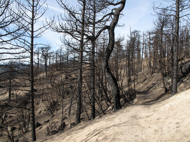
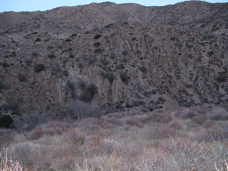
The area around Three Points burned up a bit.

Image
Area above Devil's Canyon, below Waterman Mountain.

Image
Conditions adjacent to the first mile or so of the Twin Peaks trail.

Image
More Twin Peaks trail on the west side of Waterman Mountain.

Image
Looks like the flames were lapping at the bottom of Twin Peaks from this side.

Image
You can almost imagine the fire running up the trunks of these pines.

Image
Looking east towards that main summit of Waterman Mountain.

Image
Jake left the 'pons in the car, otherwise...

Image
Bottom of Twin Peaks, upper Devil's Canyon.

Image
Looking west, with Mt. Lukens at the left of the picture :( .

Image
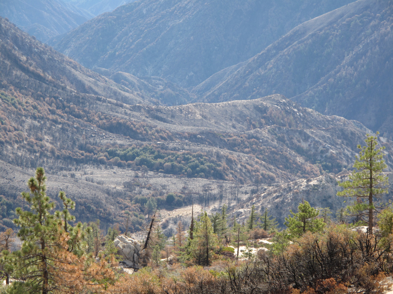
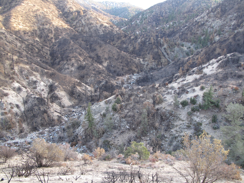
More upper Devil's Canyon.

Image
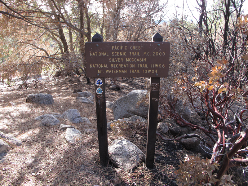
Second mile of Twin Peaks trail on Waterman Mountain, headed towards Three Points.

Image
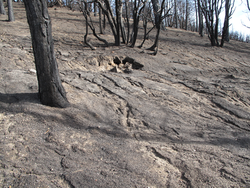
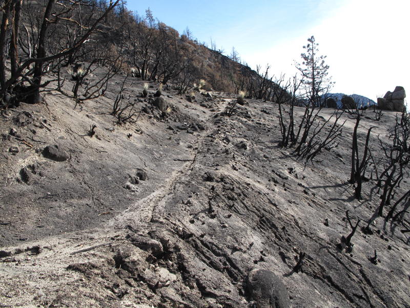
Unrestrained soil carried over the trail by rains.

Image
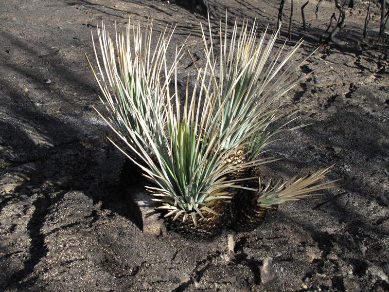
A more productive result of recent precipitation.

Image
Thank goodness these guys are doing alright.

Image
Area north of Three Points and Waterman Mtn, viewed from PCT.

Image
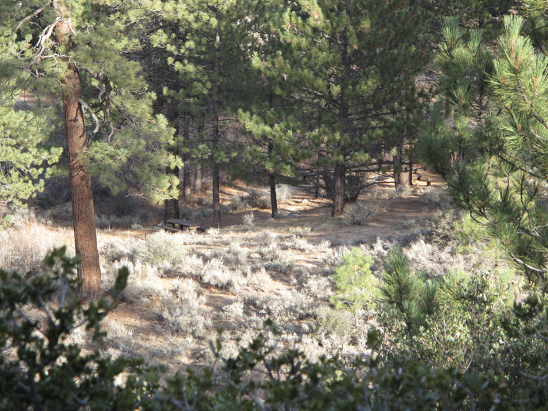
Sulphur Springs picnic area looks inviting, if not closed.

Image
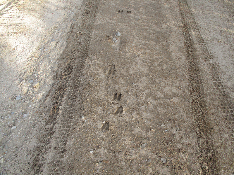
Something ironic about these deer tracks through the former Pinyon Flats shooting area.

Image
Winston Ridge from 5N04.4.

Image
Winston Ridge, Winston Peak, Waterman Mountain and one of the drainages to Little Rock Creek.

Image
Squaw Canyon activated charcoal filter.

Image
Jake liked the texture of these rocks as he was losing light.

Image
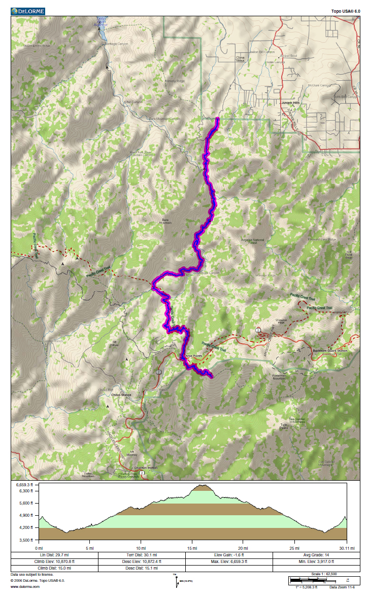
GPS track and elevation profile.
User avatar
Taco
Snownado survivor
Posts: 6010
Joined: Thu Sep 27, 2007 4:35 pm

Post by Taco »

Yet another long hike. 8) Great pics as always. Did you do it in SERE style?
User avatar
cougarmagic
Posts: 1409
Joined: Wed May 07, 2008 5:21 pm

Post by cougarmagic »

Give my thanks to Jake, next time you see him. I think he knows my evil twin, PumaPower.

Cool bear mama & cub tracks.

It looks like the fire there had a more reasonable pattern - leaving patches, while burning others. That is supposed to be 'healthy'. (As opposed to the complete leveling of the rest of it)

"Activated charcoal filter" - funny.
User avatar
HikeUp
Posts: 3861
Joined: Thu Sep 27, 2007 9:21 pm

Post by HikeUp »

my evil twin brother Jake
So, does Jake bring "Four fried chickens and a coke" for lunch when he hikes?
Mrs. Murphy: Help you two?
Elwood: Do you have any white bread ma'am?
Mrs. Murphy: Yeah.
Elwood: I'll have some toasted white bread please.
Mrs. Murphy: You want butter or jam on that, honey?
Elwood: No ma'am, dry.
Jake: Do you have any fried chicken ma'am?
Mrs. Murphy: Best damned chicken in the state.
Jake: Bring me four fried chickens and a Coke.
Mrs. Murphy: You want chicken wings or chicken legs?
Jake: Four fried chickens and a Coke.
Elwood: And some dry white toast please.
Mrs. Murphy: Ya'all want anything to drink with that?
Elwood: No ma'am.
Jake: A Coke.
Mrs. Murphy: Be right back.
User avatar
Elwood
Posts: 612
Joined: Fri Aug 15, 2008 5:23 pm

Post by Elwood »

Jake tells me that he's into the latest thing from Berkeley: Fried Chicken and Coke flavored CLIF Bars. He also listens to BOTH kinds of music while he's hiking.
User avatar
Rumpled
Posts: 271
Joined: Mon Feb 25, 2008 10:57 pm

Post by Rumpled »

cougarmagic wrote:Give my thanks to Jake, next time you see him. I think he knows my evil twin, PumaPower.

Cool bear mama & cub tracks.

It looks like the fire there had a more reasonable pattern - leaving patches, while burning others. That is supposed to be 'healthy'. (As opposed to the complete leveling of the rest of it)

"Activated charcoal filter" - funny.
I liked the charcoal filter comment as well.

CM-
Is that mama and cub or front and back? I'm not so good at tracks. (I'll have a puma track question later today or tomorrow when I d'l my pics)

Pass this on to Jake
Is FM 21-75/Appendix F the closure order or regulations pertaining to it?
User avatar
Elwood
Posts: 612
Joined: Fri Aug 15, 2008 5:23 pm

Post by Elwood »

Another view of the same Ursus Americanus tracks:
Image

Taco had it correctly. Appendix F of US Army Field Manual 21-75 = SERE (Survival, Evasion, Resistance and Escape).
User avatar
EnFuego
Posts: 677
Joined: Mon Dec 15, 2008 11:14 am

Post by EnFuego »

Nice photos. Hella long hike - no thank you.

What is MYLFs?
User avatar
Elwood
Posts: 612
Joined: Fri Aug 15, 2008 5:23 pm

Post by Elwood »

Mountain Yellow Legged Frog; the stated reason for the Williamson, Rattlesnake Creek, Little Rock Creek and adjacent closures. Also useful fodder for a bad pun.
User avatar
cougarmagic
Posts: 1409
Joined: Wed May 07, 2008 5:21 pm

Post by cougarmagic »

Rumpled wrote: Is that mama and cub or front and back?
It's mama and cub, since they are both back foot tracks.

http://www.bear-tracker.com/bear.html

The front track only shows the 'top' half of the paw. Like most animals, they walk on what is the equivalent of the ball of our foot and our toes. Bears walk on the full length of their back foot (it's called 'planitgrade'). It gives them that waddling, moseying gait.

I think Jake & Elmore were joking, and know this too, but black bears around here don't really hibernate. They do get super hungry in the fall, and then slow and groggy through the winter, but they may only sleep for a week at a time and then get up and find things to eat again for a while.

Man I gotta get out in some snow - love to see the big long series of tracks like that, instead of one print at a time!
User avatar
Rumpled
Posts: 271
Joined: Mon Feb 25, 2008 10:57 pm

Post by Rumpled »

Elwood wrote:Mountain Yellow Legged Frog; the stated reason for the Williamson, Rattlesnake Creek, Little Rock Creek and adjacent closures. Also useful fodder for a bad pun.
I actually thought it was a play on MILF, like maybe substituting You for I like a married man might think.
User avatar
Taco
Snownado survivor
Posts: 6010
Joined: Thu Sep 27, 2007 4:35 pm

Post by Taco »

Moro Islamic Liberation Front.

Google it.

Lol.
Post Reply