Mt. San Antonio - Sunday December 13, 2009
My buddy Mark and I visited the summit of Old Baldy this morning. It was GORGEOUS!. I'll post more pictures and a more detailed report tomorrow.
Updated Report Follows:
We headed up from Wanker at 0645 PST. Local temperature was around 32F. There were a few sets of tracks in the snow ahead of us, one or two or had already turned around. A little ways below the ski hut, I started getting nervous; it was time for the crampons. Mark chatted with a couple of folks at the hut and it was time to grab some calories before proceeding. After crossing the stream bed, we headed straight up to the ridge, bypassing the switchbacks on 7W02 (doesn't count, trail was well protected under snow and ice!). The pictures tell the rest of the story better than any of my blather. Suffice it to say, it was very windy on the summit. There were lots of folks ascending the now slushy trail below Jabba as we descended, returning to the Jeep around 1330.
Mark has been generous enough to link his pictures too!
http://www.flickr.com/photos/8080049@N0 ... 872123087/
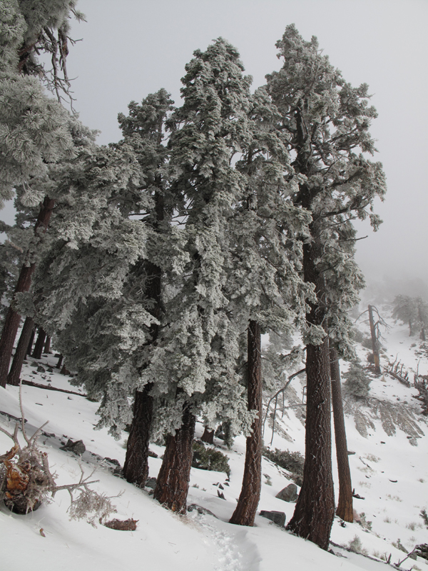
General conditions on the trail, below the ski hut.
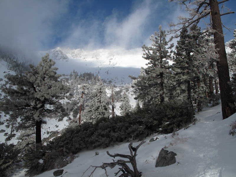
View towards the ridge above Gold Ridge Mine.
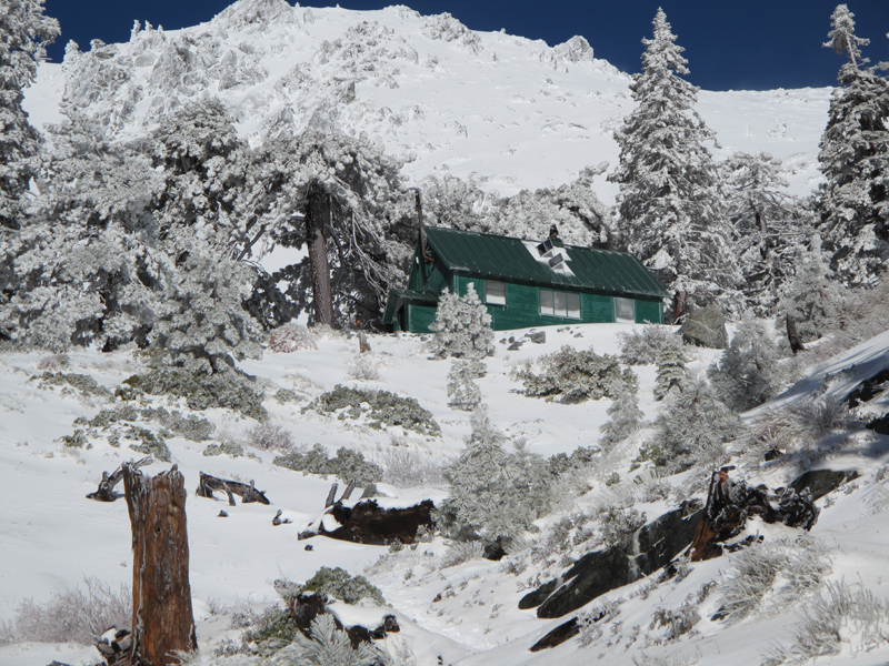
Jabba the ski hut.
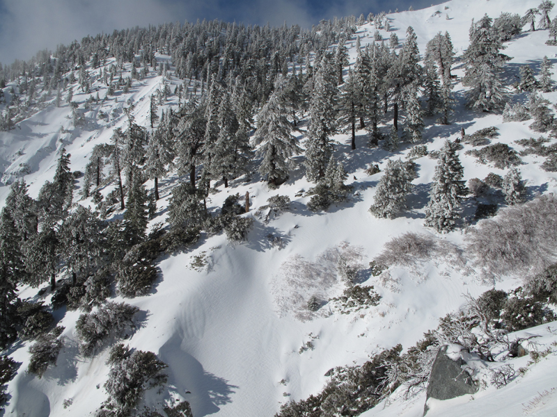
Another general view from just above the hut.
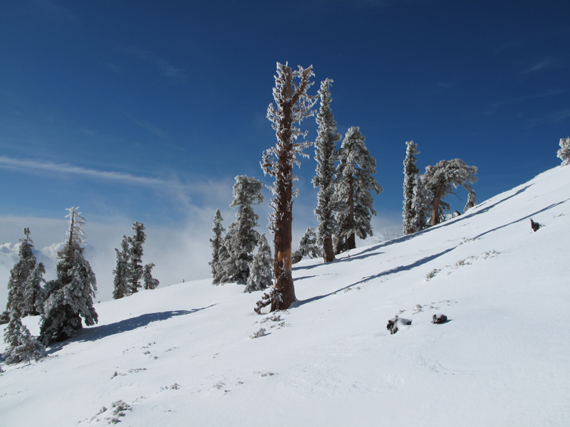
The sky was a beautiful shade of blue above the clouds.
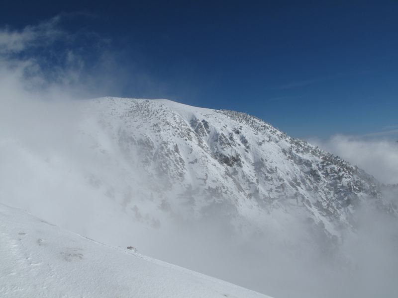
Looking across the bowl at Mt. Baldy.
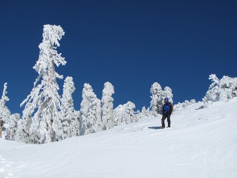
Mark, a little ways below the summit.
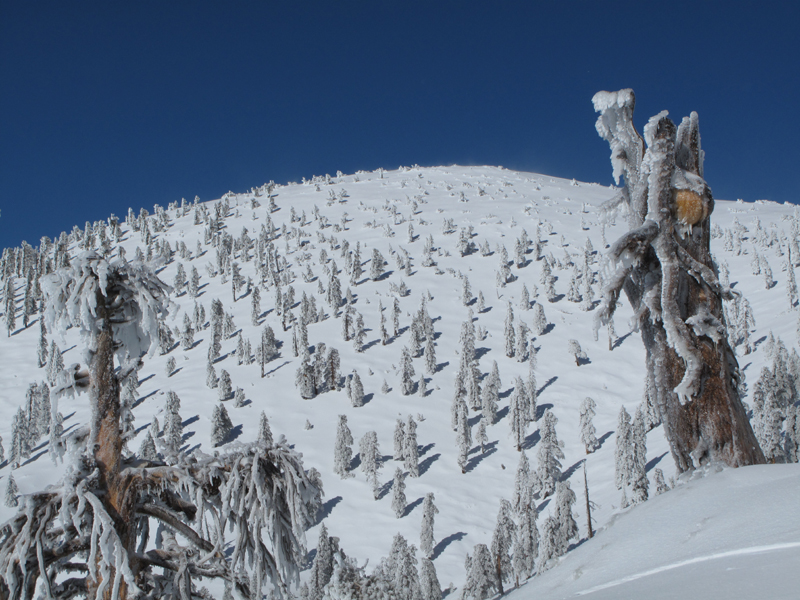
Looking up towards West Baldy.
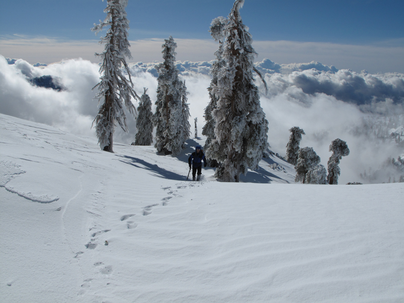
Mark coming up the ridge. Don't let the picture fool you; He was ahead of me most of the way.
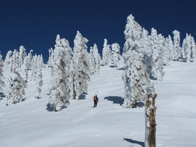
The snow and ice couldn't have been any better for crampons.
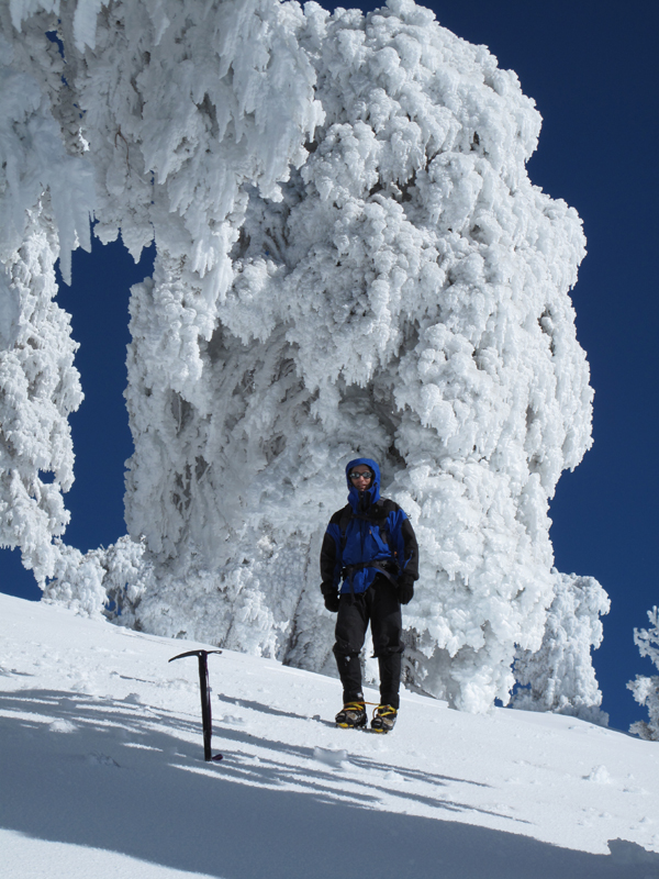
Mark, and snow/ice - covered trees near the summit.
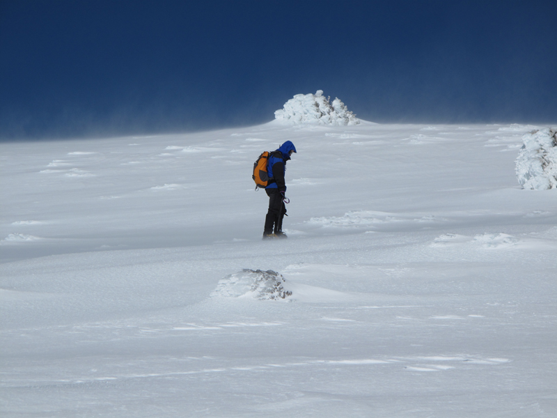
It started getting windy as we neared the top.
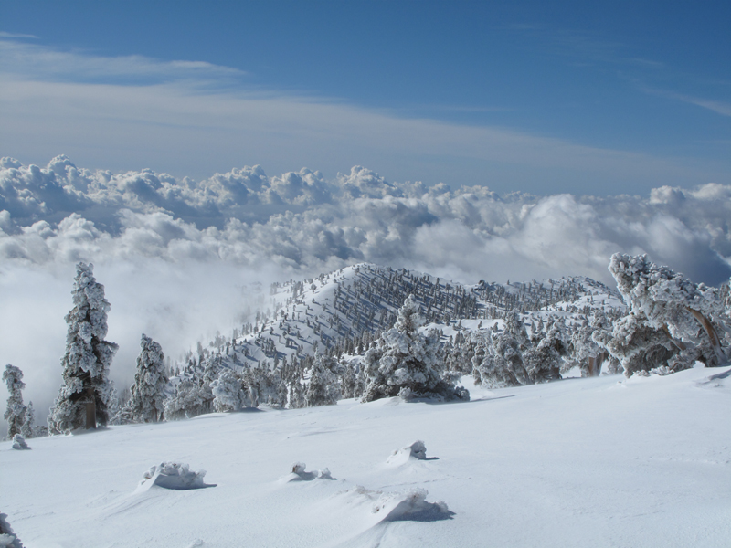
Looking down on the clouds from Old Baldy.
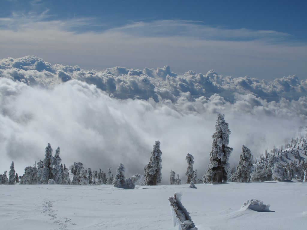
Same viewpoint, facing more towards the east.
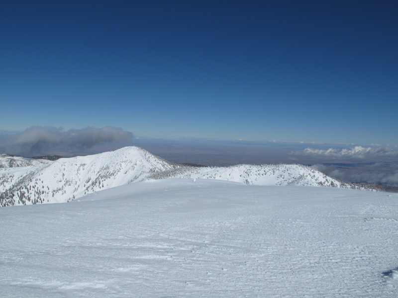
The view towards Dawson, Pine and the High Desert.
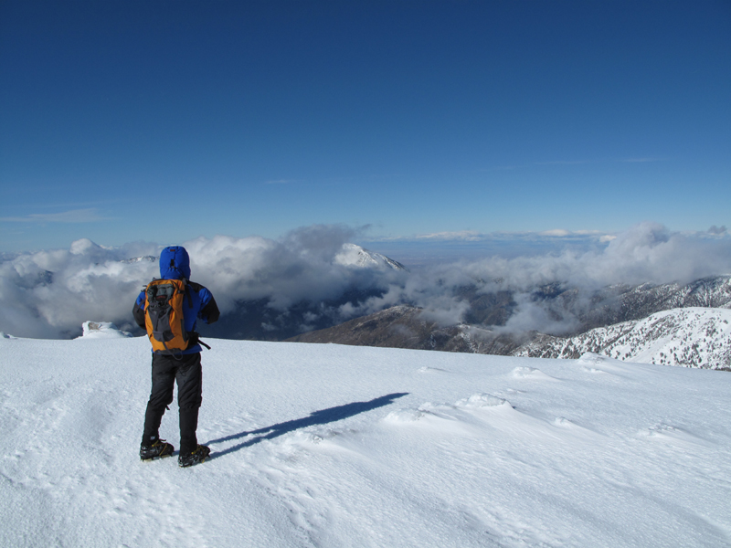
The view towards Mark, Iron and Baden-Powell.
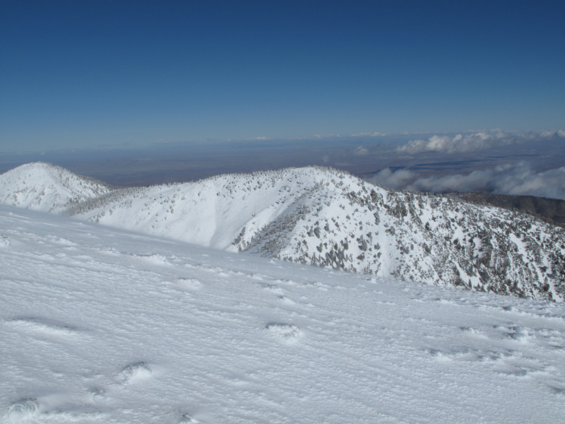
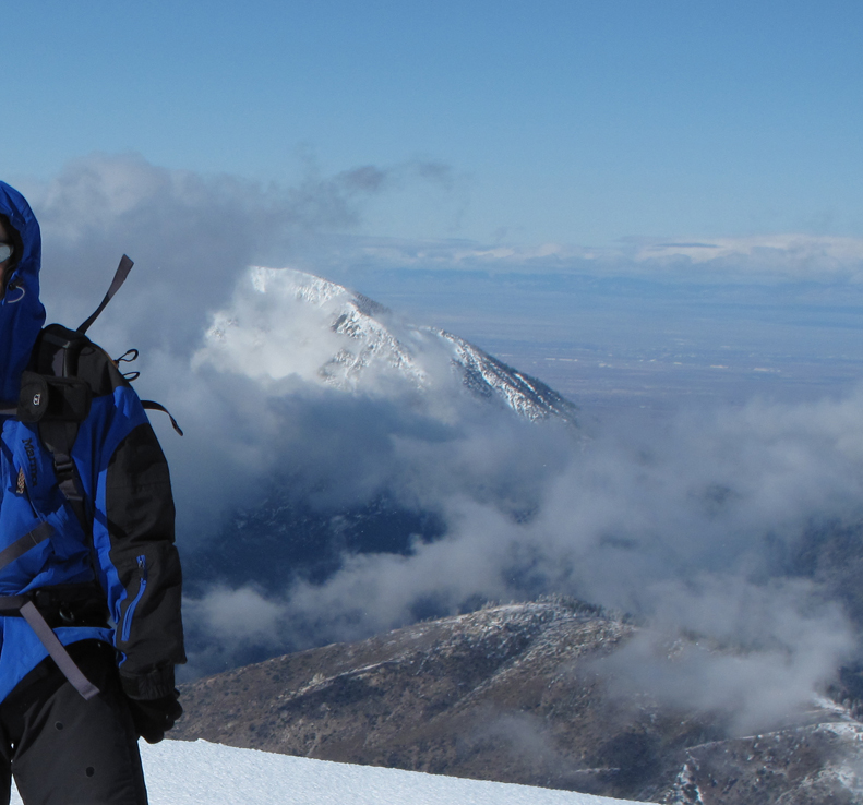
Mt. Dawson, with Baldy in the Foreground.
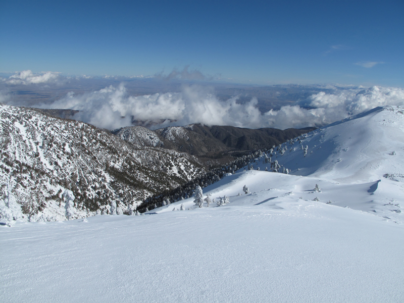
Looking towards Stockton Flat, descending the backbone.
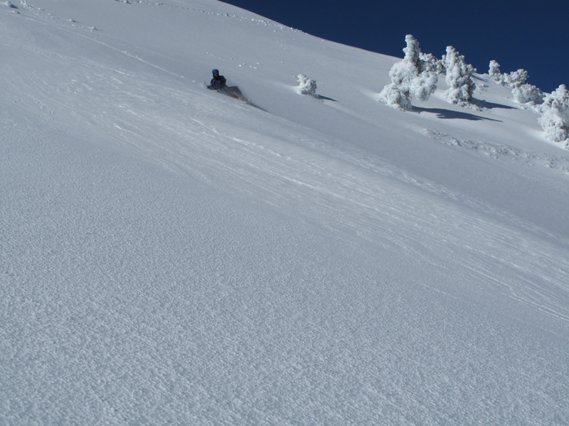
Perfect conditions for glissade.
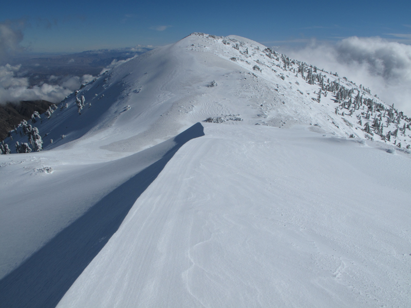
Looking down the Devil's Backbone.
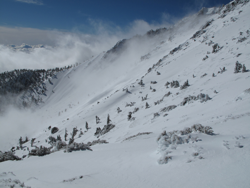
Looking across the bowl and at our route down.
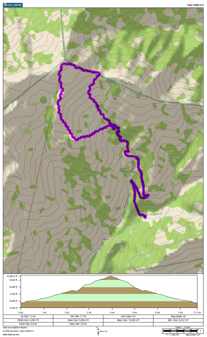
Approximate GPS track and elevation profile; GPS batteries croaked around the hut and I didn't feel like changing them.
- glamisking
- Posts: 89
- Joined: Sat Sep 29, 2007 4:04 pm
Looks awesome!! Can't wait for the full TR and eager to get up there myself.
- glamisking
- Posts: 89
- Joined: Sat Sep 29, 2007 4:04 pm
I think it should be our new winter themed banner for the forum. How about it Taco?
- moppychris
- Posts: 87
- Joined: Mon Sep 07, 2009 12:56 pm
yeah!cougarmagic wrote:Great googly moogly....
Watch out where those huskys go, And don't you eat that yellow snow.
Sounds like a plan. I'll do what I can. Man.glamisking wrote:I think it should be our new winter themed banner for the forum. How about it Taco?
Snow level is really high, like you said.
Elwood,
Outstanding pictures, great day out there for you and Mark.
How deep was the snow in the bowl on your descent? Others are planning on hitting it tomorrow, so they would like to know.
How many hours did it take you to make the summit? and at what level did you first encounter snow?
Thanks
Lilbitmo - Nice work
Hey Lilbitmo:
The deepest snow was maybe 48", but seemingly sitting on an unknown thickness of ice.
We summited around 1130. The ascent took around 4:45, inclusive of a couple rest stops and a lot of photo-ops.
There was plenty of snow below the ski hut, starting just above Manker Flat (~6100'). Much of this low stuff was melting upon our descent.
E
Hi Elwood,
Congratulations. TR and pictures were excellent. This must be the best time of year for hiking Mt. Baldy. I like all the pictures especially Mark was near the summit fighting against the wind.
Was there any diagonal traverse rout from the bottom of the bowl to the west ridge?
Shin
Congratulations. TR and pictures were excellent. This must be the best time of year for hiking Mt. Baldy. I like all the pictures especially Mark was near the summit fighting against the wind.
Was there any diagonal traverse rout from the bottom of the bowl to the west ridge?
Shin
I zoomed in on this picture looking west from Baldy. Looking at Baden-Powell, over Mark's left shoulder, it appears to be pretty snowy above 7,200'. Maybe not so much on the eastern exposure below this. The Pine Mountain ridge doesn't look very snowy around 7,300'
Awesome photos Elwood! thanks for the TR. it is so "bitchen" to hit Baldy right after a storm and see that splendor.
Taco, i did a hike in the Sespe yesterday (no TR. repeat of Topa Topa Bluffs with lots of frozen ground.) and came home too tired to get back out again today. look forward to your TR from today. Thursday will be my first chance to get out again.