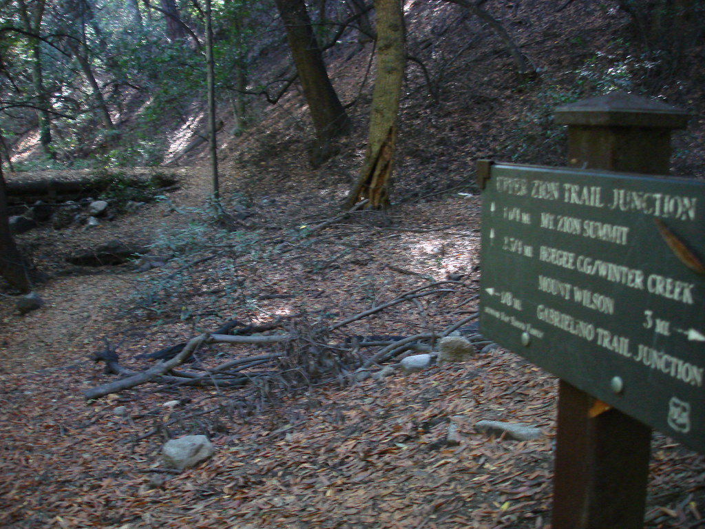
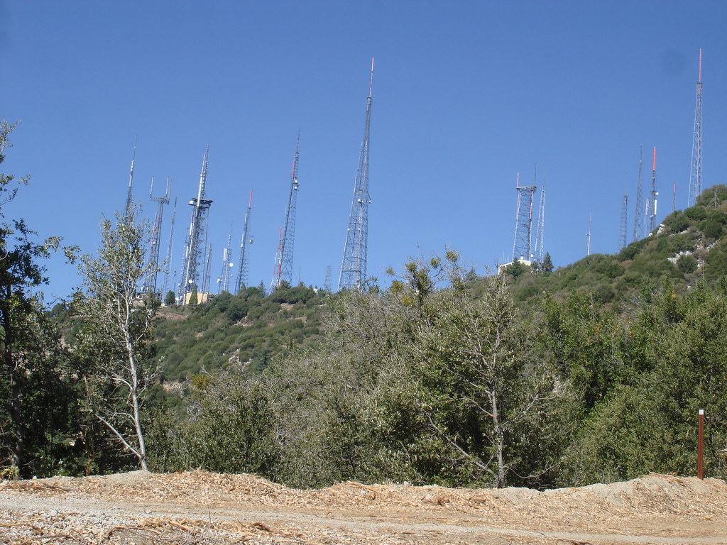
After 4 weeks out of action i figure it was time fora hike again. So i went up the not so far away Old mt wilson trail to manzanita ridge. From the ridge i went down winter creek, passed Zion and up to wilson using the stutervant trail. Once at echo rock you could see some burn areas all around. After all that climbing there was finally a little time allowed for lunch. I had wanted to explore the observatory a bit but every things a ghost town. Even the museum was closed. Some scientist/astronomer dude i ran into said the poeple that work at those facilities arent even allowed to drive from la canada passed the chp blockade wich didnt make sense... so some worker there hike up and stay there...
clear skies the whole day... a little warm but manageable.....
I never did the lollipop before so it wa a nice addition.
I didnt take the gps cause i didnt think i wanted to do the lollipop so i cna only estimate the stats!
~20 mi
6000-7000 ft gain.......
This would be awesome in the winter.
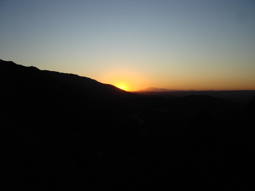
Sunrise
Rain that we needed!
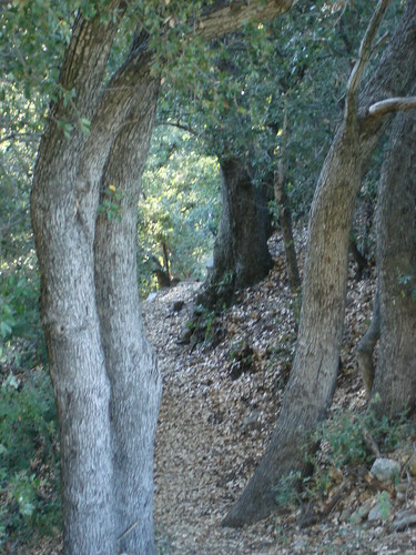
Atleast the middle of this hike has cover
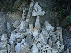
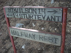
a Tribute to some thing
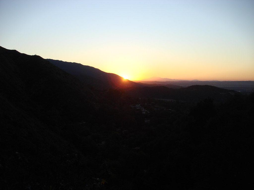
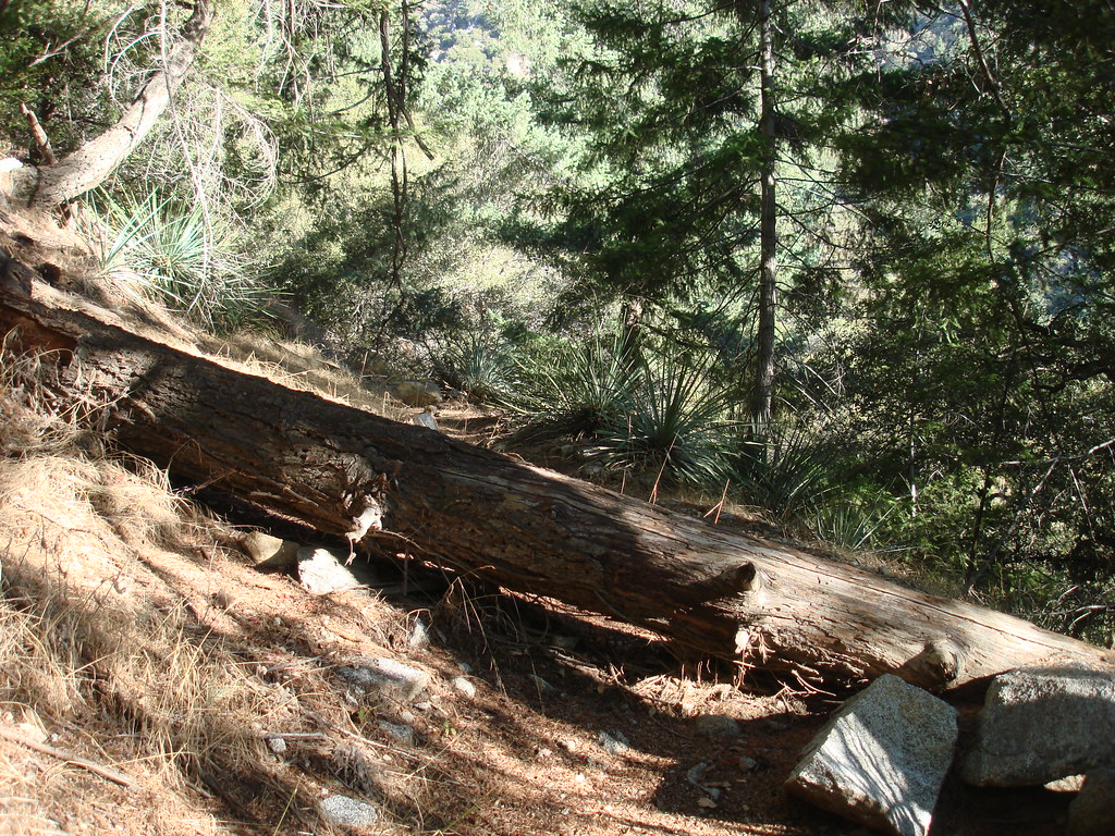
The start of the winter creek trail from MR
Must turn on anti shake
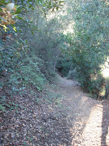
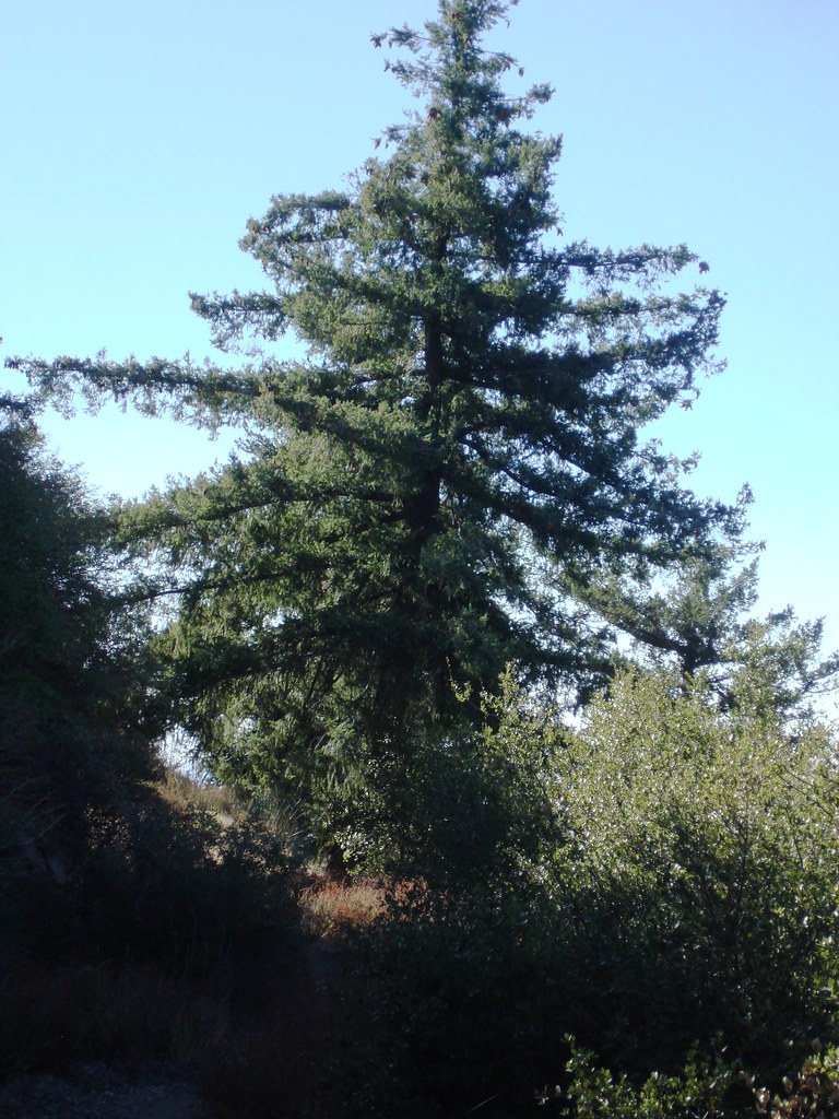
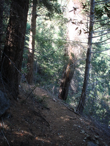
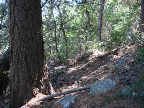
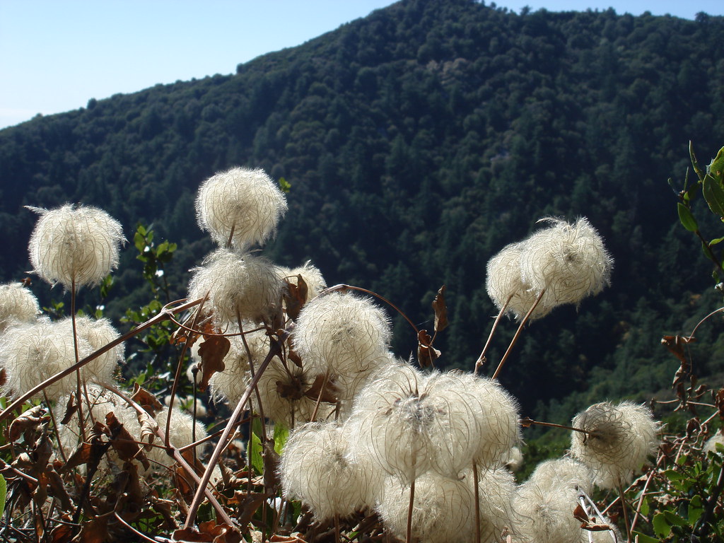
The scenic part!
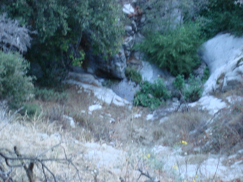
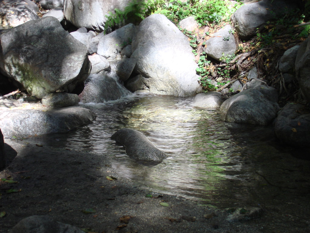
Stream crossing @ ho geez camp
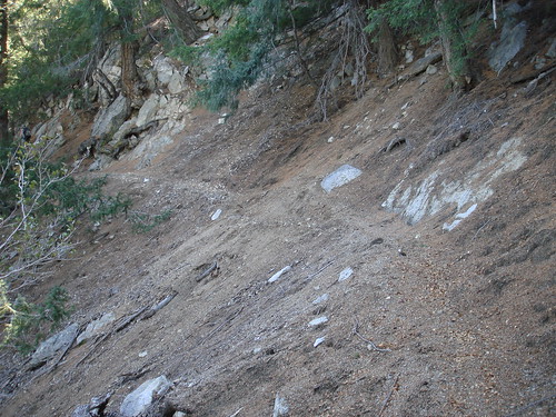
Almost done 3mi and 3000ft to go
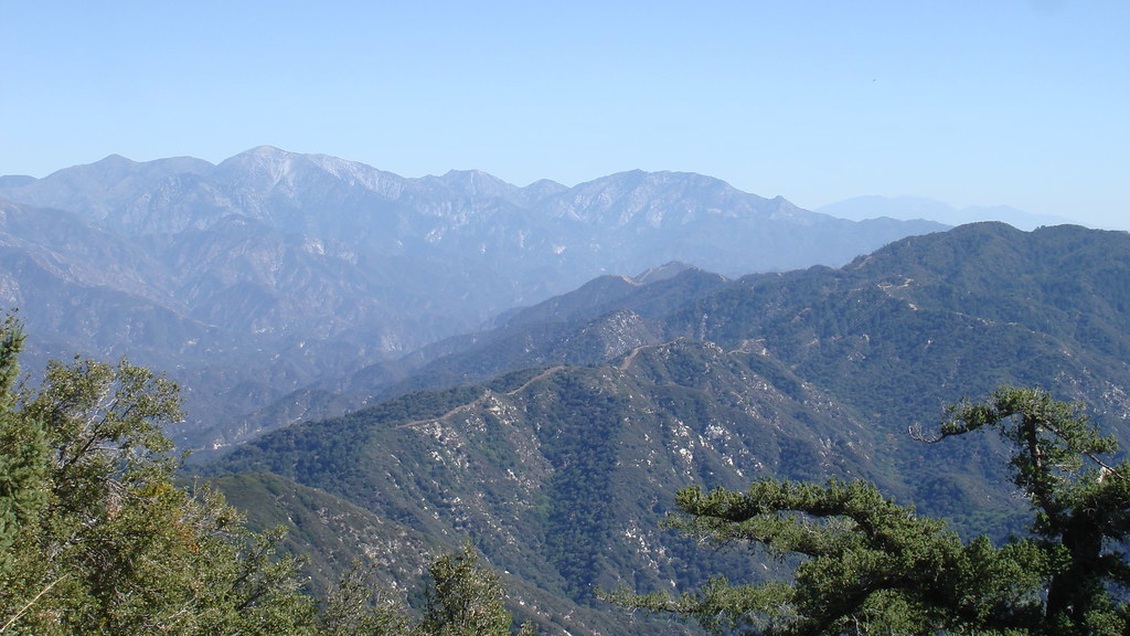
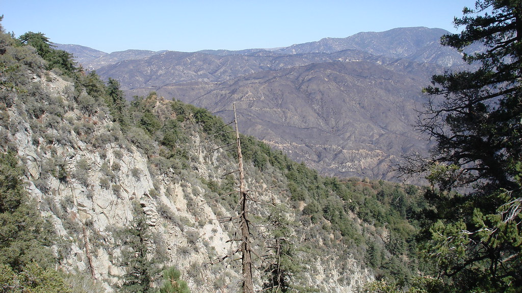
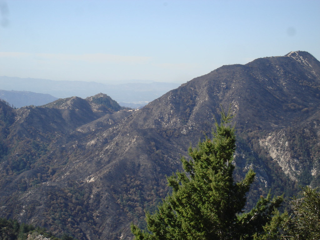
Finally at echo rock. with views of the burnt areas
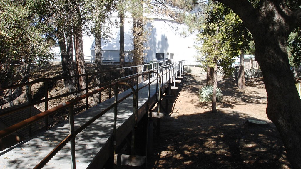
Some lab next to the picnic area
Mt lowe is toast
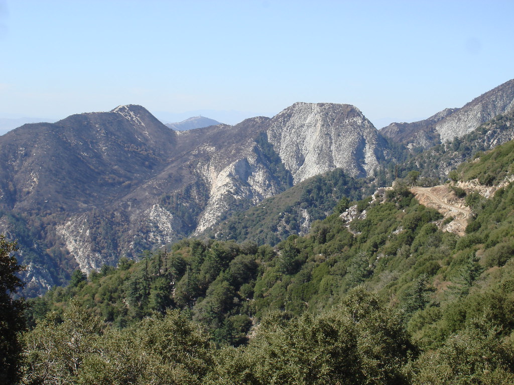
Mt lowe and Ins Pt on the left
END

