

He set off from Alta Monte at 0620. Heading towards Orchard Camp, he passed a very energetic team of three men, McLoeds in-hand working the trail. He made sure to thank them. From Orchard Camp, he continued on to Manzanita Ridge, down to Winter Creek, up to Mt. Zion, down to Sturtevant Camp, up Gabrielino to Newcomb Pass and across the former bike trail to Newcomb Saddle. This was the first location along this route where there was detectable fire damage. Next he walked up the bulldozed hill adjacent to the electrical transmission tower. Apparently this plateau saw much "duty" as a latrine for crews working in the area. Just as he got out MY camera in anticipation of some great pictures, some low clouds rolled in. Jakey next headed back to Newcomb Pass and up the Rim Trail towards Mount Wilson. He said the trail is intact and seemingly stable. He noted a great deal of burned vegetation above and below the still tree-sheltered trail. He also noted at least two spots that were actively smoldering.
After crossing the empty pavilion parking lot, Jake headed down 11W22 to the Mount Wilson Toll Road. He was mildly surprised to encounter three hikers on their way up from the road. He told me that his feet were getting sore from the long distance and rocky trails, so he blasted down the toll road to the trail that led down to Manzanita Ridge, then back down Little Santa Anita to his car. He passed quite a few folks on their way up the trail.
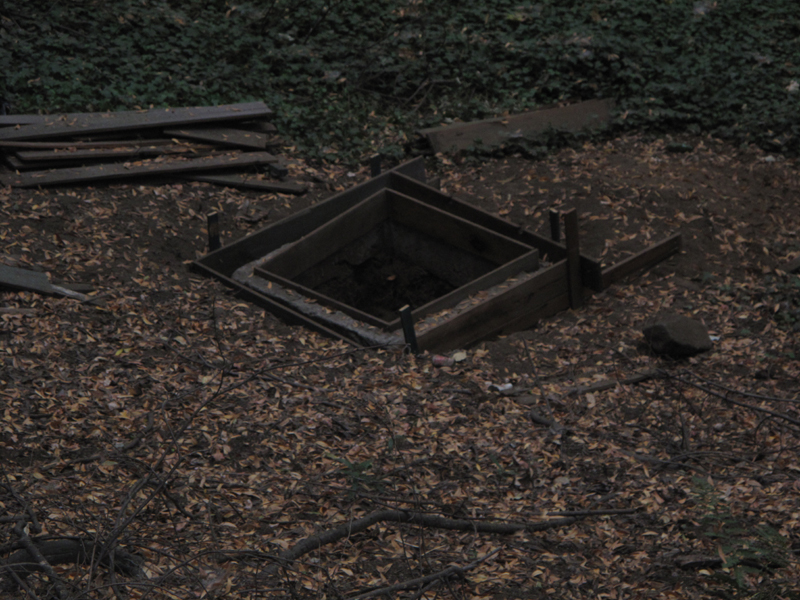
Urban renewal in Hoegeeville, an outhouse pit.
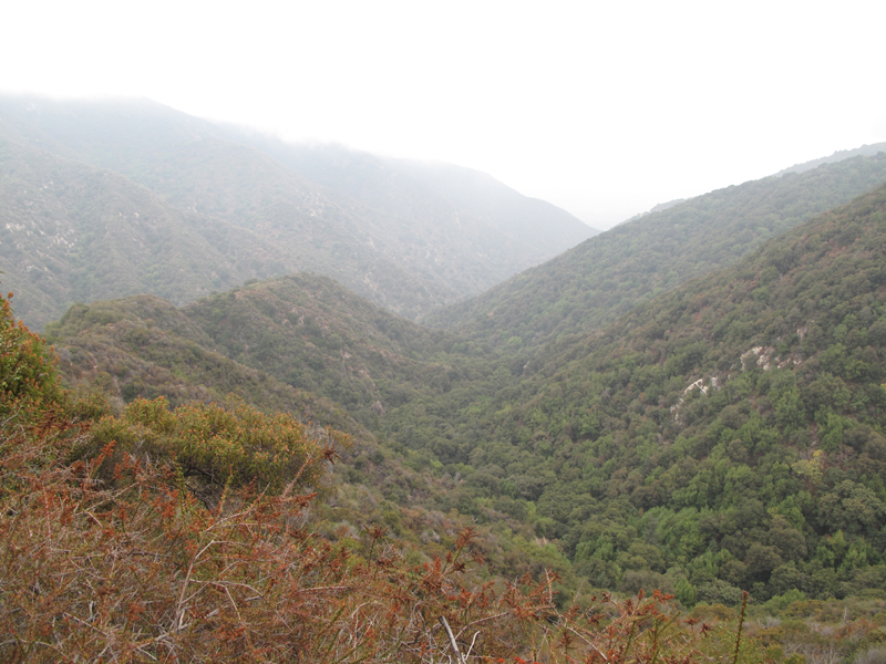
Big Santa Anita Canyon, lush and green.
New firebreak from Newcomb Pass to Mt. Wilson.
Gabrielino trailhead to Devore from Newcomb Pass.
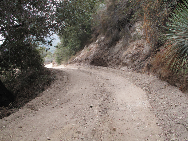
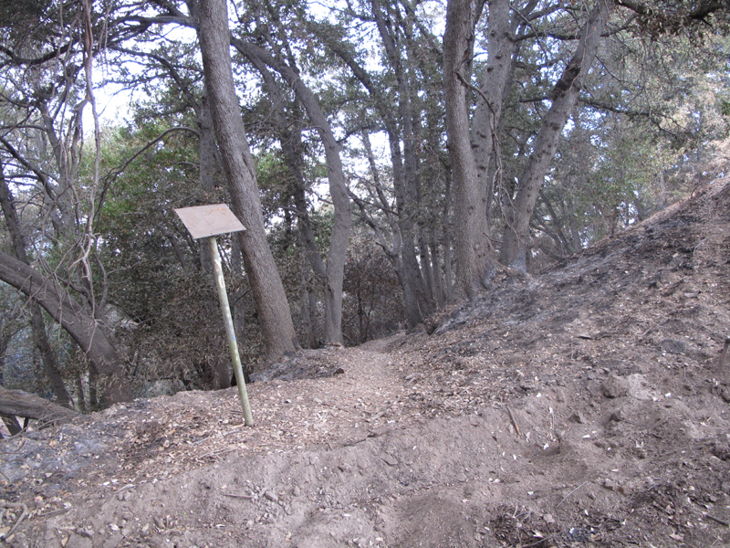
Until recently, this abandoned road spur from Newcomb Pass was covered with vegetation. Now bulldozed through to Newcomb Saddle.
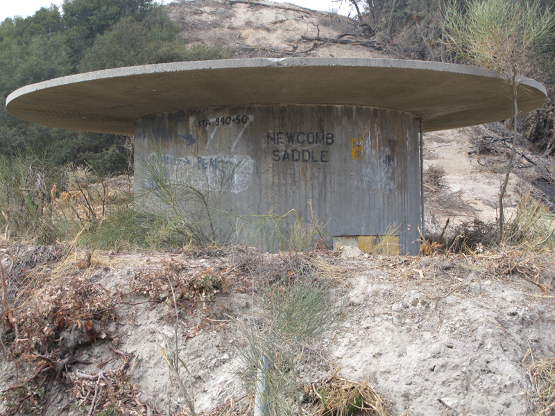
Cistern doing double-duty as a road sign.
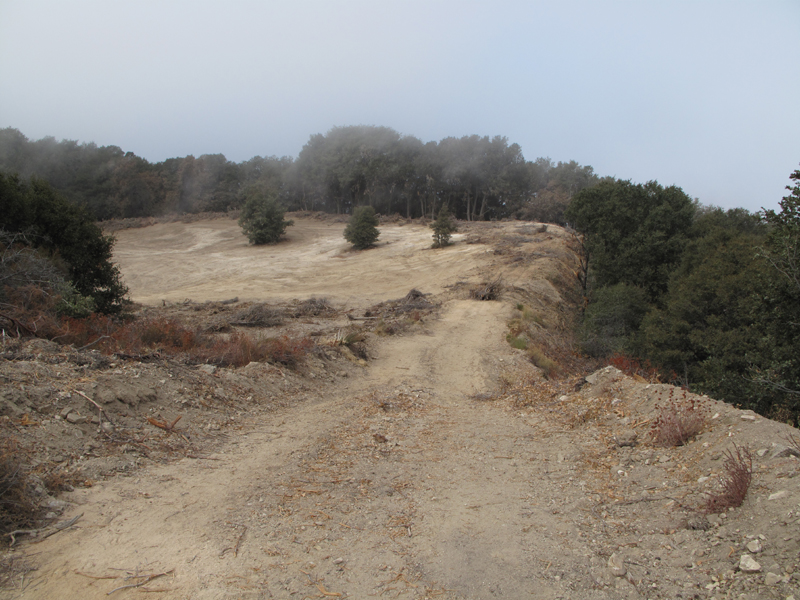
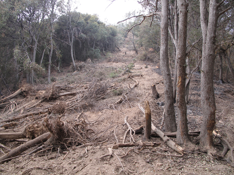
Huge clearing near Newcomb Saddle, presumably to support the Mount Wilson fire line.
What most of the West Fork hillsides look like.
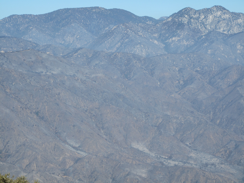
Looking from the Rim Trail (11W28) toward Twin Peaks.
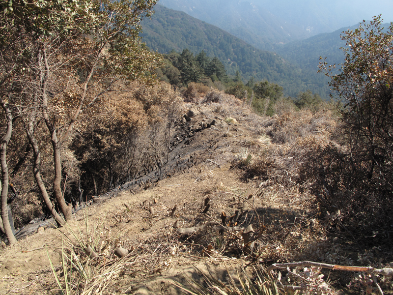
Burn on the firebreak up to Wilson.
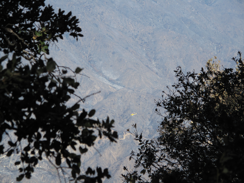
Helicopter on fire patrol (or hiker patrol?).
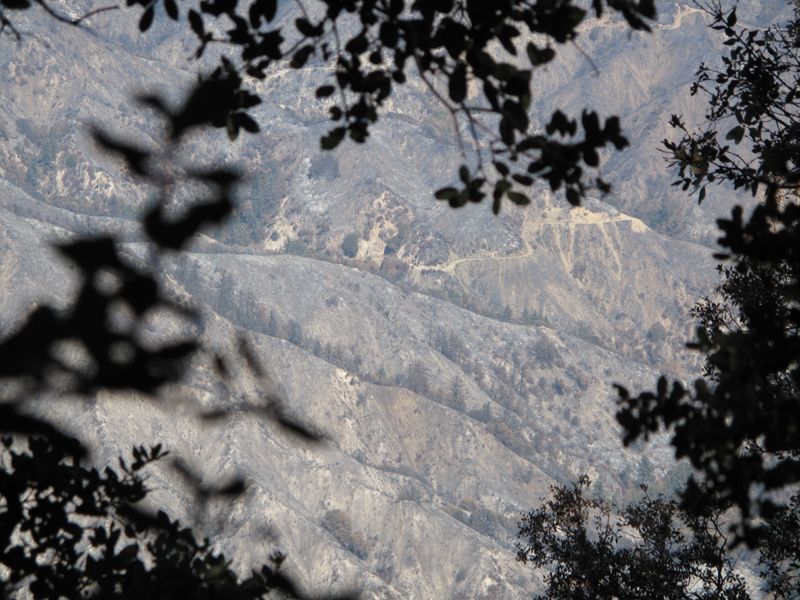
2N23 snaking its way down through the burn.
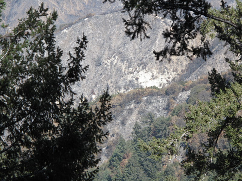
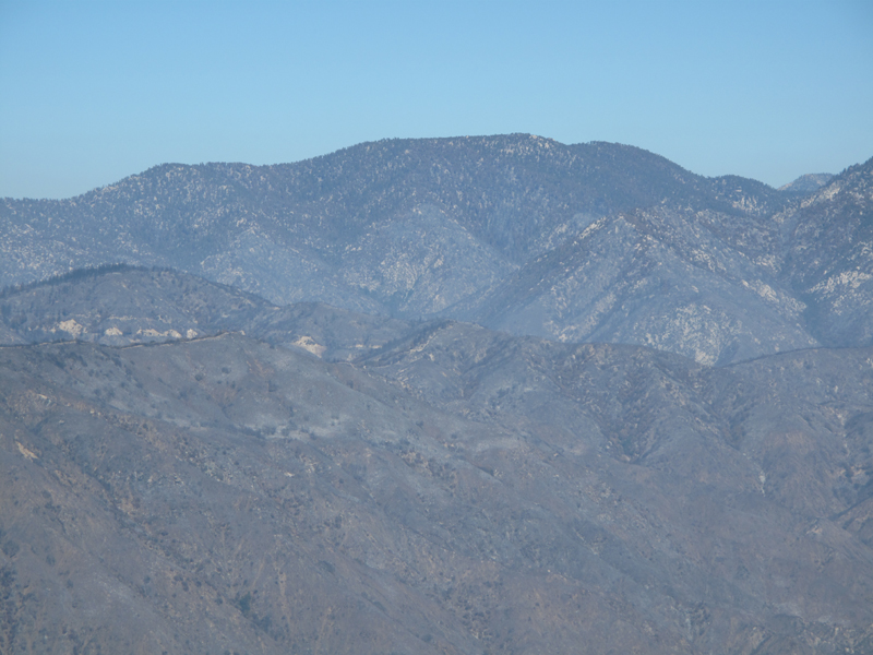
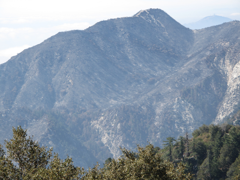
Mount Lawlor, we think.
Crispy part of the San Gabriel Wilderness with Waterman and Twin Peaks in the background.
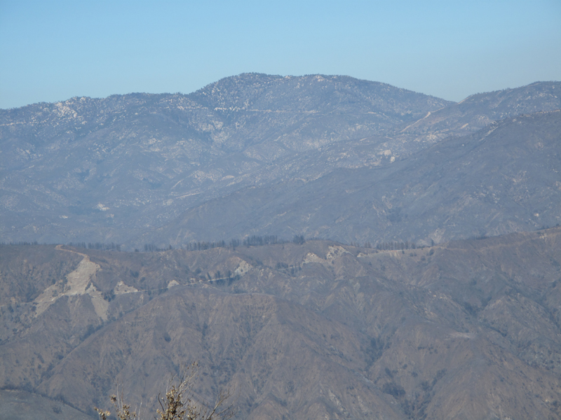
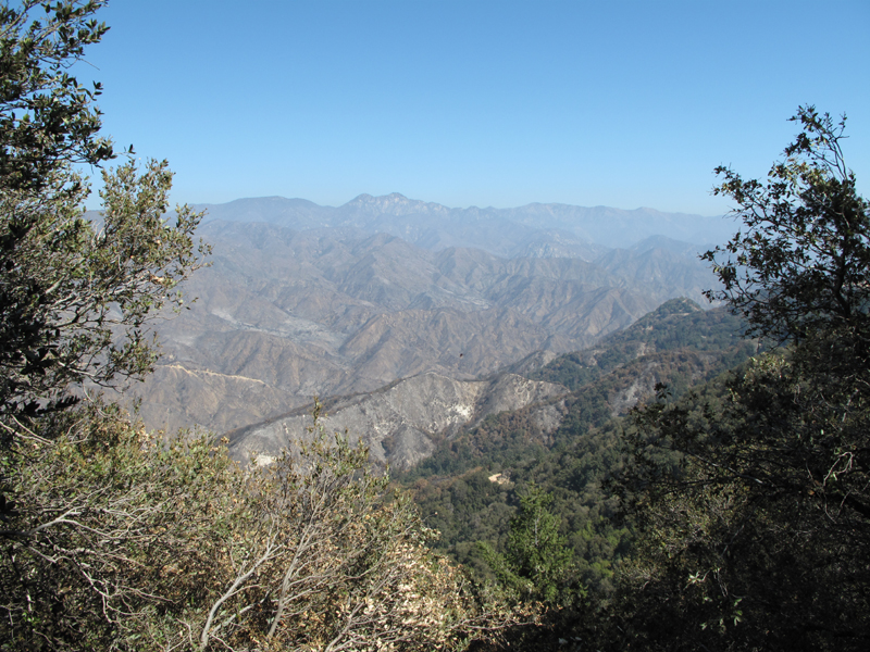
Is that Mt. Pacifico in the distance?
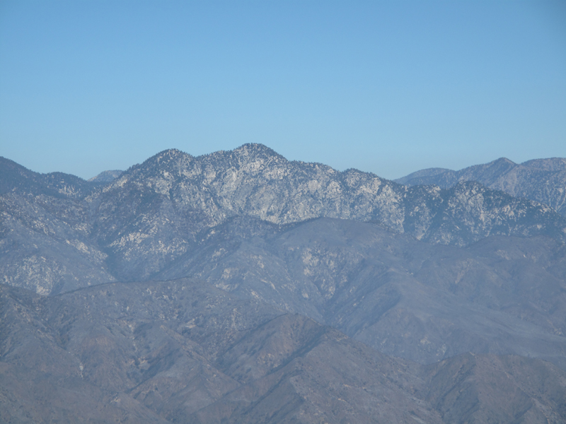
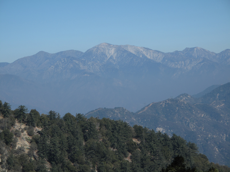
Twin Peaks is looking good from here.
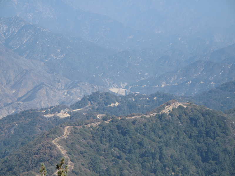
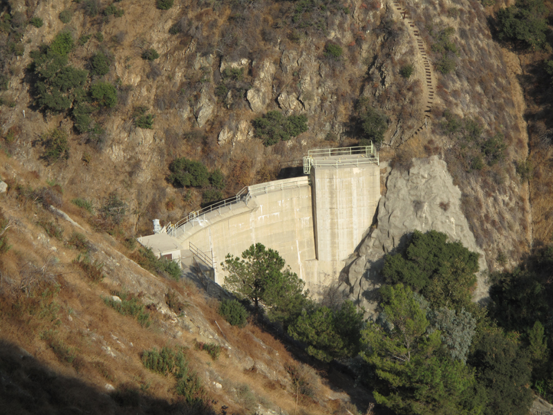
The Wilson firebreak and Cogswell Dam.
Mt. Waterman looks good from here aside from scorched buttresses. Wonder if this is above or below the Twin Peaks trail?
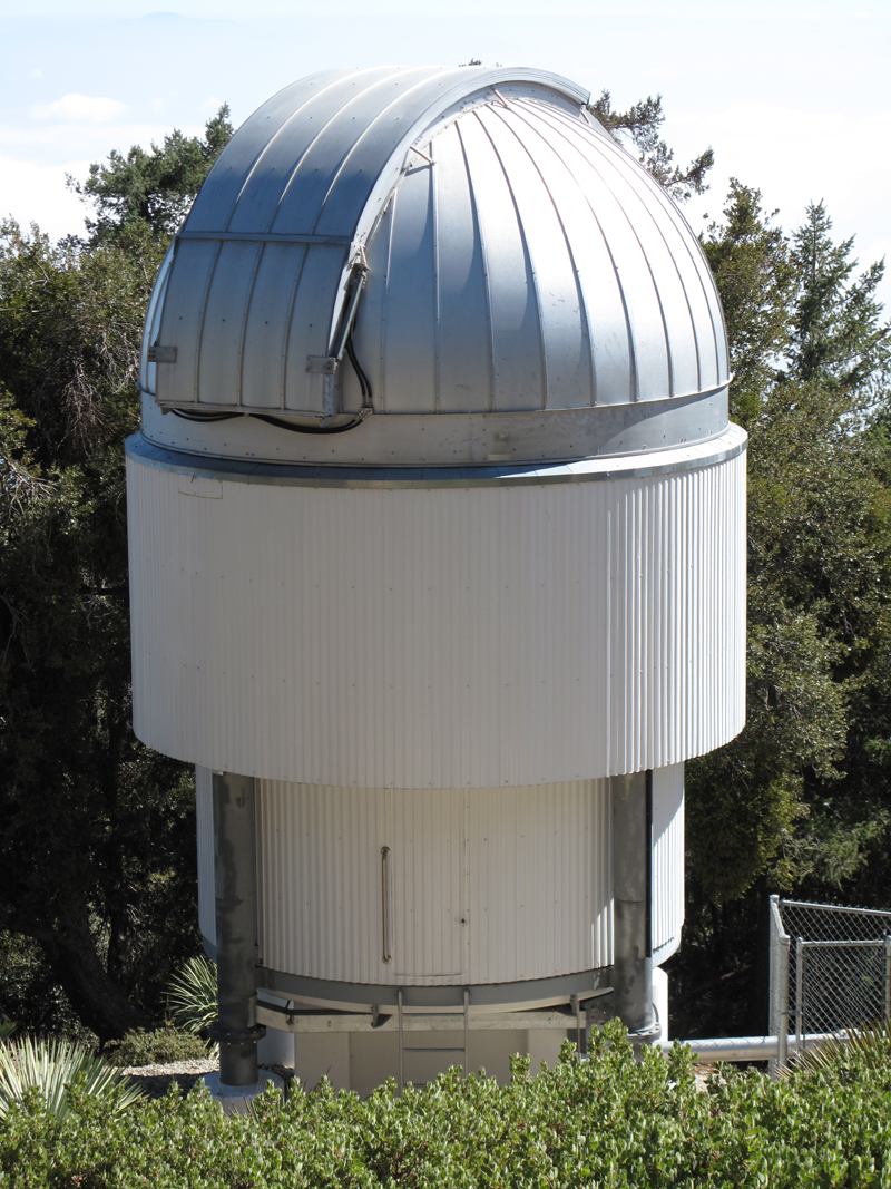
R2D2 Prototype - Actually one of the CHARA 1-meter telescope domes.
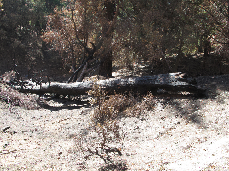
Burned / felled tree just off-trail next to the observatory.
Extra-crispy Mount Lowe.
Waiting for his snow.
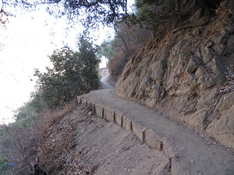
Beautifully dressed Little Santa Anita trail.
Little Santa Anita Canyon Dam.
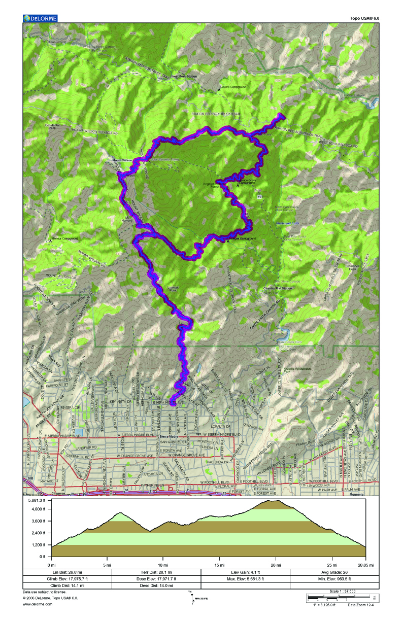
Jake's GPS track and elevation profile.


