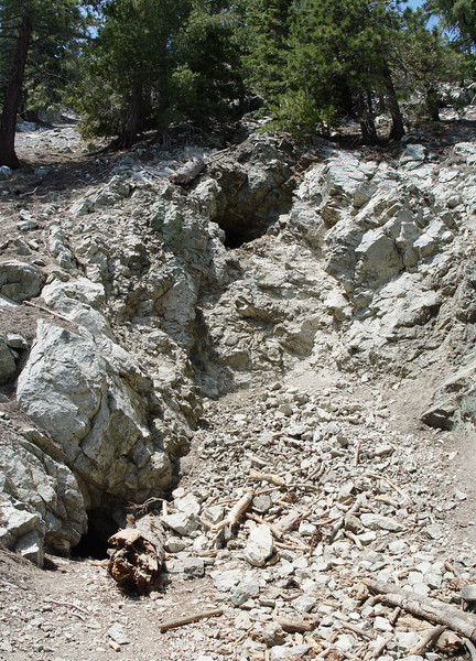
I assume that this was a gold mine. We did not see any left over nuggets.
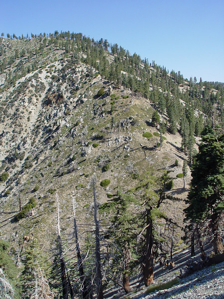
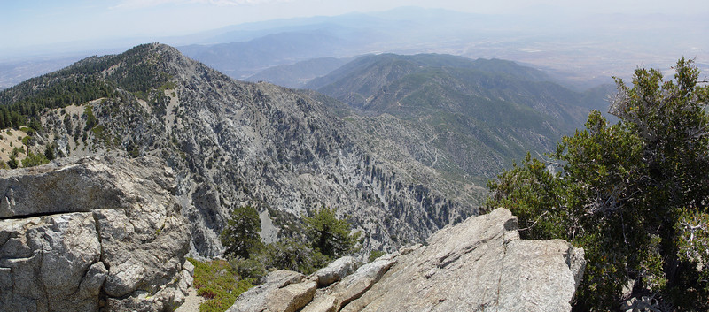
The slopes of Cucamonga offer a nice view of the southeastern ridge of Bighorn. It's a fun cross-country hike up Bighorn this way.
Then there is the classic view of Ontario with Baldy in the background.
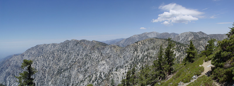
The views from the summit were pretty hazy due to the humidity. Sooner or later, we will get lucky and be on one of the peaks a day after the Santa Ana winds blow the mess out to sea. One of these years we will be energetic enough to hike the extra mile to Etiwanda.
We saw a couple of dozen people between the saddle and the summit. A few years ago, you would have left the herds behind and had Cucamonga mostly to yourself. Not any more. The switchbacks up Cucamonga show increasing damage due to switchback cutting. There was a time only a few years back that this damage did not exist.
