

Me&TDR went out for an ambitious plan to tackle S.Hawkins and beyond from Heaton, but ended up on a BridgeToNowhere trip.
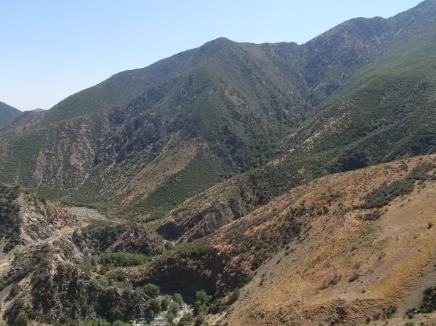
We departed from the river at 1pm upto just west of Airplane flat(or 800ft). Since we found a benchmark, I guess we didn’t think to pull out a topo, but were were did not get to the flat at 3414ft.Would have required bushwacking to get there…FYI
It was pretty obvious given everything..the heat,pack weight,conditioning,etc that we would not make the next 2 1000ft pushes as planned.The next push(another 1000) was steep, but not too steep.
Thus we went to check out a trail that connects to the southwest(aka Devils Gulch) ridge We got disconnected due to the trail falling away and I descended down the main gully..a garbage,dirt place.TDR came down the southwest ridge to meet me at the bottom of the 2006 firefighting switchbacks.
Then we hiked upstream to catch a break in the canyon just downstream of the bridge.After that we went back up the trail to the bridge….thus we got to see the bridge from above,from the bottom and from level ground.
The sun was setting so we headed back, arriving just before darkness.
Misc: We encountered the same trail crew that we did on the Bear Creek trail. The story on that one was two teams departed from both ends of the trail to meet halfway. The conclusion was an Air5 ride. Thus they will tackle Bear Creek after the East Fork.
No parking signs from Cattle Canyon til the East Fork parking lot.
New bridge across Laurel Gulch: smells and looks good. I do remember how it wasnt level though...I think there were some stones place for footing/steeping to get on top of it, but sort of forgot the details on that one.
Waterflow: Less than last July?! All indications its going to be a miserable summer.
Above the Bridge to Nowhere 5/19
-
Taco

- Snownado survivor
- Posts: 6136
- Joined: Thu Sep 27, 2007 4:35 pm
Notable pics:
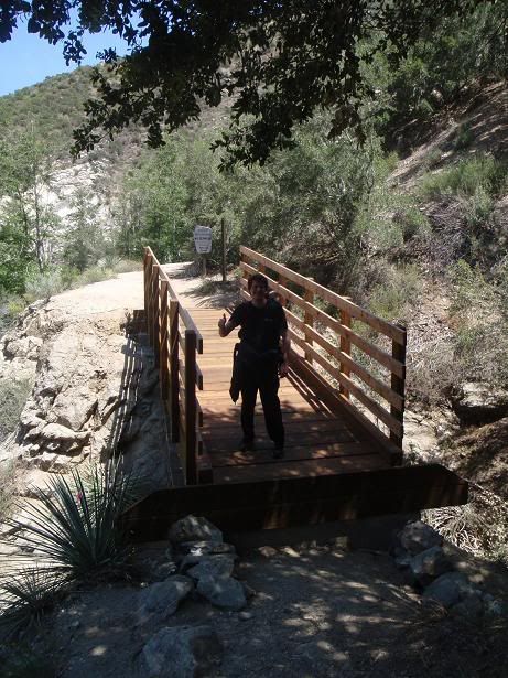
AW on the new Laurel Gulch bridge
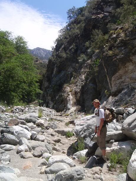
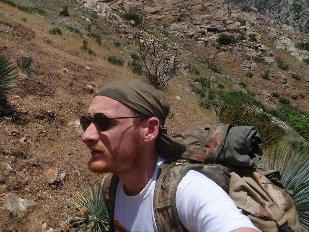
Myself going upriver
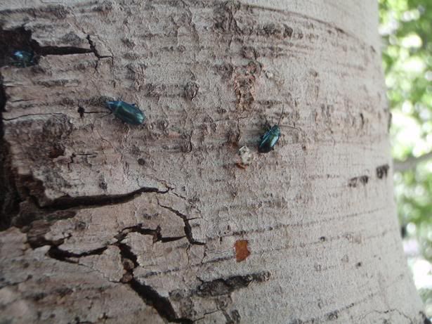
Loads of these beetles out today
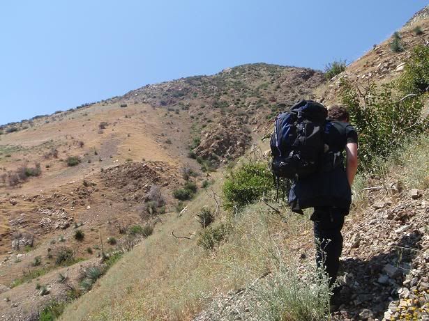
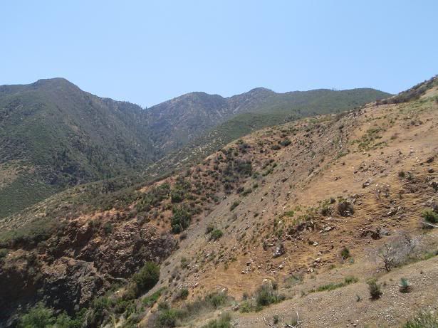
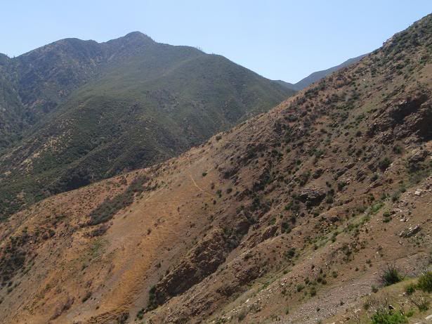
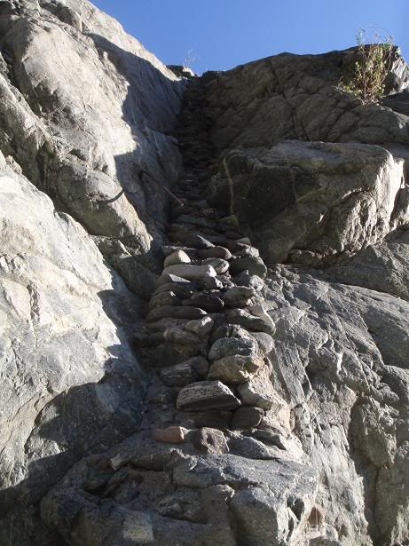
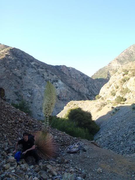
Starting up the crummy slope to Airplane Flat
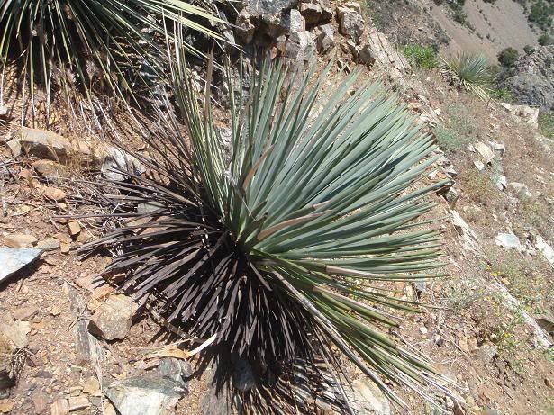
Burn damage on Yucca
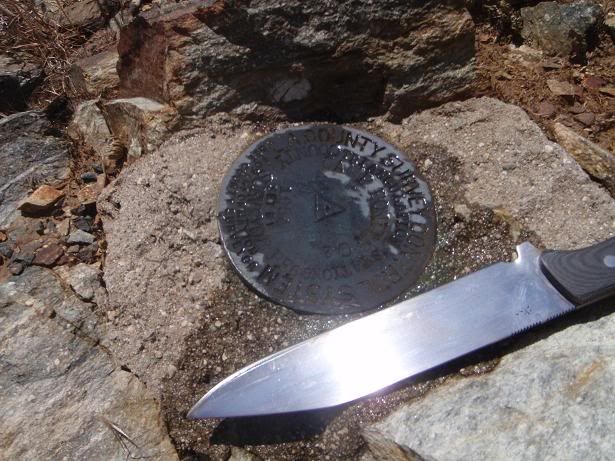
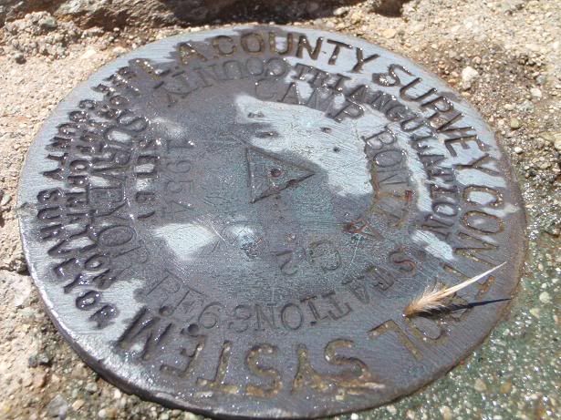
Benchmark on Airplane Flat
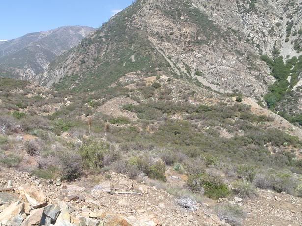
Airplane Flat view
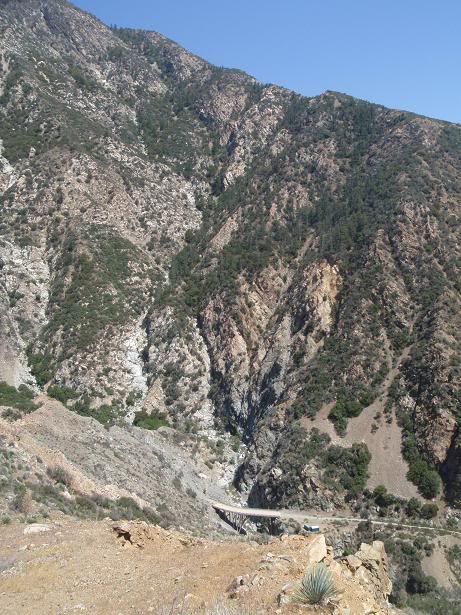
Bridge to Nowhere
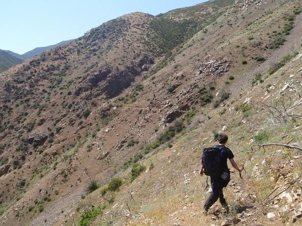
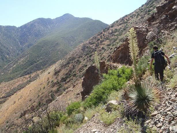
Hiking out on a trail
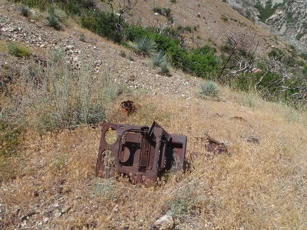
Machinery
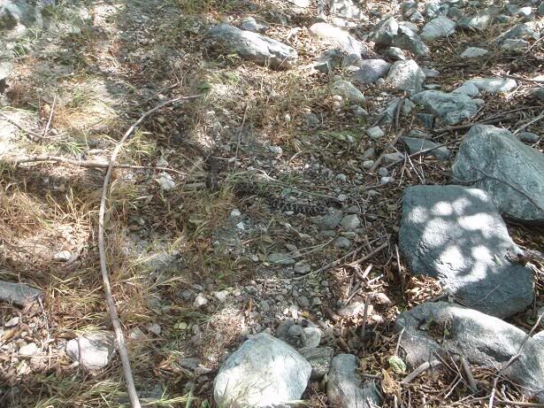
Rattler
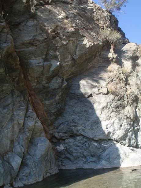
Should put some bolts in this section, as it's solid and would yield a fun, short sport route around 5.8ish at the most.
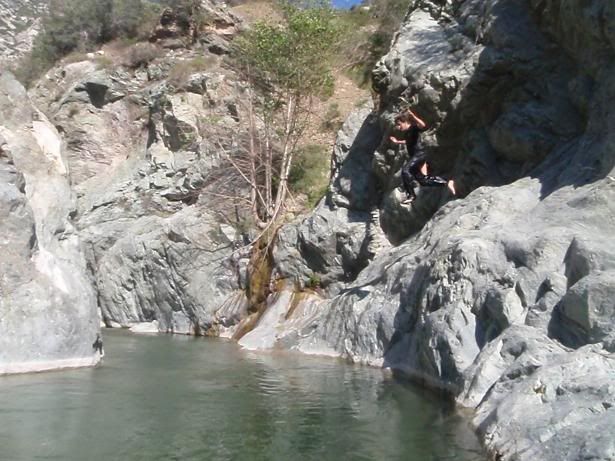
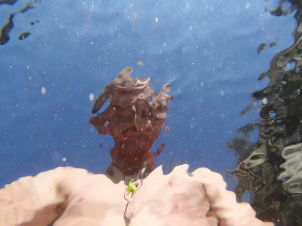
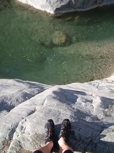
AW dives in
Waterfall
Underwater
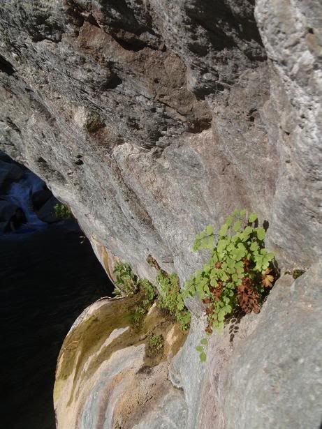
Maidenhair Fern
Underwater
One could climb this...
Stuff
Dive
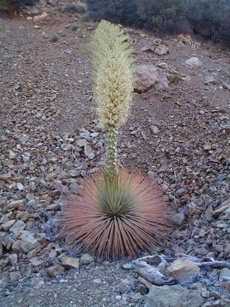
Yucca
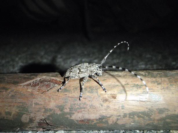
Pine Borer? Other Longhorn type beetle?
AW on the new Laurel Gulch bridge
Myself going upriver
Loads of these beetles out today
Starting up the crummy slope to Airplane Flat
Burn damage on Yucca
Benchmark on Airplane Flat
Airplane Flat view
Bridge to Nowhere
Hiking out on a trail
Machinery
Rattler
Should put some bolts in this section, as it's solid and would yield a fun, short sport route around 5.8ish at the most.
AW dives in
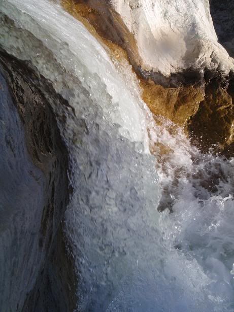
Waterfall
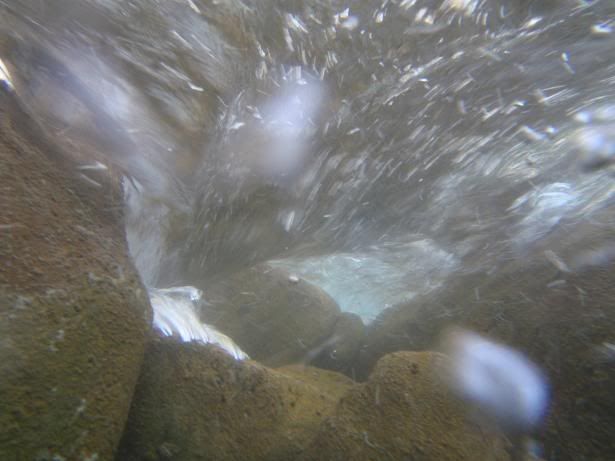
Underwater
Maidenhair Fern
Underwater
One could climb this...
Stuff
Dive
Yucca
Pine Borer? Other Longhorn type beetle?
-
Ze Hiker

- Posts: 1432
- Joined: Mon Jul 28, 2008 7:14 pm
interesting to see what's left of that old trail, very cool.
-
EnFuego

- Posts: 677
- Joined: Mon Dec 15, 2008 11:14 am
Taco - you got some cool pics there. What was the temps like mid day? Looks pretty hot.
-
outwhere

- Posts: 323
- Joined: Sun Jan 25, 2009 5:40 pm
Yes! Fun photos...
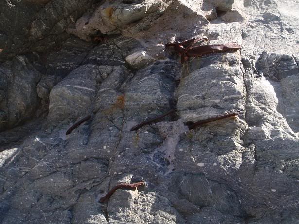
Got any explanations for this:
Never seen anything like this, I'm assuming this is this natural? Sure looks weird, either way
 oh, and of course, thanks for the pic of the rattler
Got any explanations for this:
Never seen anything like this, I'm assuming this is this natural? Sure looks weird, either way
-
Taco
- Snownado survivor
- Posts: 6136
- Joined: Thu Sep 27, 2007 4:35 pm
First thing: Some piece of mining equipment?
Second thing: Them rocks is fixed in concrete.
Second thing: Them rocks is fixed in concrete.
-
Zach

- Posts: 522
- Joined: Sun Jan 04, 2009 4:25 pm
i've been up that way.... i think that's an old stove. those 2 holes are where the burners go, although i think back then they were more like hot plates.
-
EManBevHills

- Posts: 387
- Joined: Fri Sep 28, 2007 12:40 am
Nice falls and u/w shots. No wonder you swear by your camera....