Under pristine blue skies, no wind, and mild temps, we started our trip at 7:45am and promptly ended our trip to the Bridge at 7:58am. All the rain over the previous three days had raised the river levels about 2-2.5ft. The boulders we generally walk over at the very first river crossing were completely submerged under 8” of water. A log bridge about 50 yards down stream that I crossed two weeks previous (with Taco, Zach, Yoskolo and Lilbitmo) was washed away. Liz and I contemplated a wet crossing, but with 4-5 more crossings before the Bridge, and the high possibility that we would soon be hiking in the snow, that option didn’t sound too appealing. So we backtracked and decided to head up the Heaton Flat trail up to Bonita Peak and scout another XC portion of the “Death March” up to Iron Mountain.
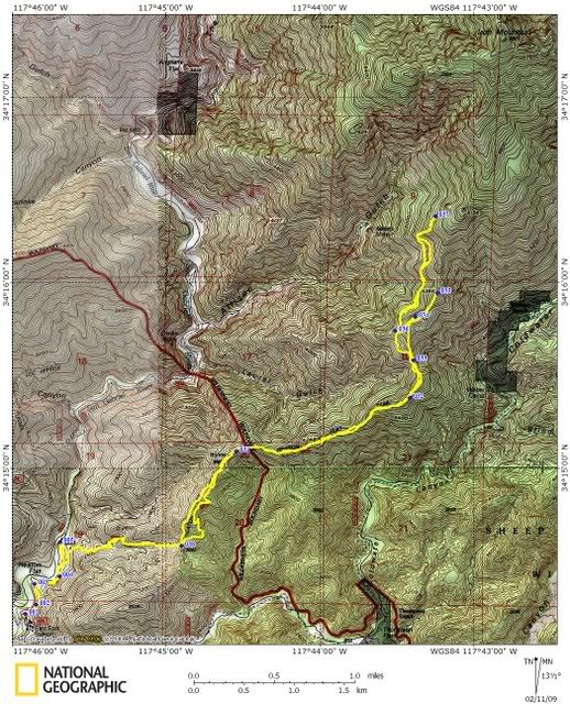
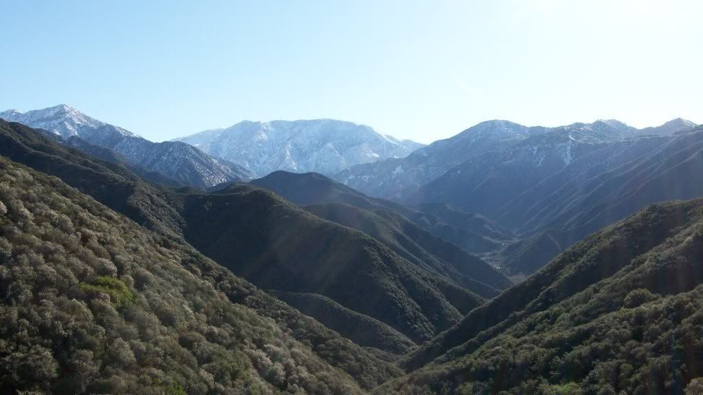
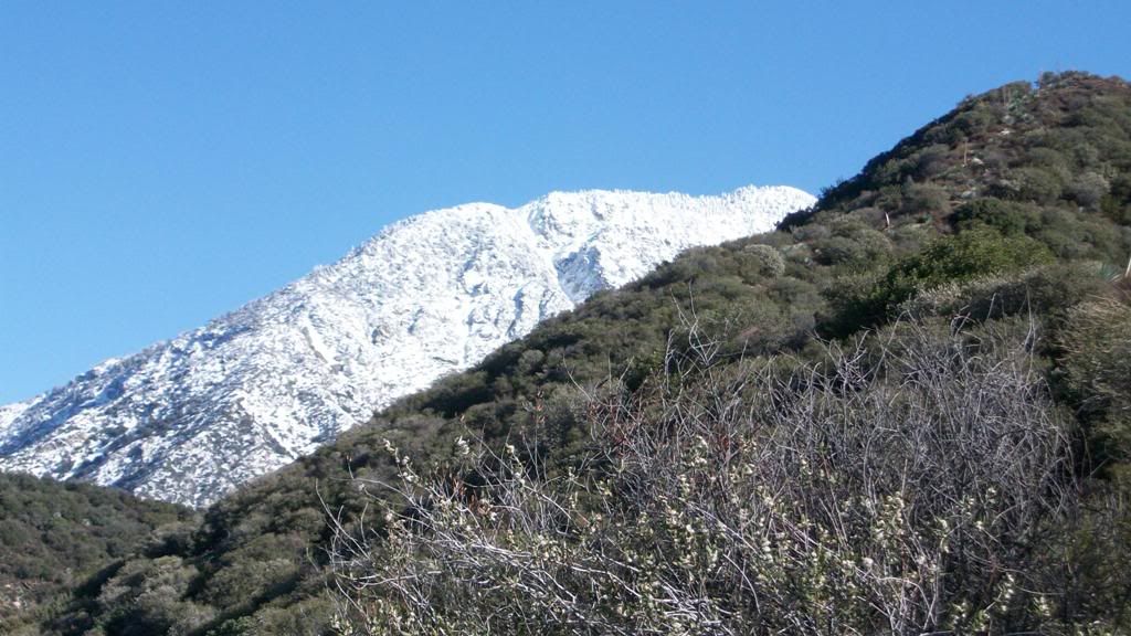
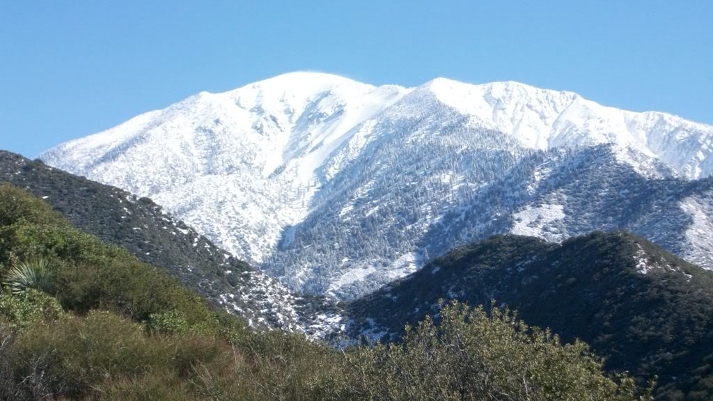
We started up the Heaton Flat trail at 8:30 am and quickly gained the first saddle at 0.95 miles and 1,850 el gain. From here, under patches of snow, which turned to patches of dirt, we opted to bypass the trail and climb up the left ridgeline to Bonita Peak. We made Bonita Peak in 0.7 miles with 400’ el gain. Prior to and upon reaching Bonita Peak, we had absolutely tremendous views of Iron Mountain, Rattlesnake Peak, Mt Hawkins (I think), Mt Baldy, Lil Baldy, and so many other peaks and ridgelines under a complete fresh blanket of white powder. Words can not describe the beauty these ranges hold under fresh snow.
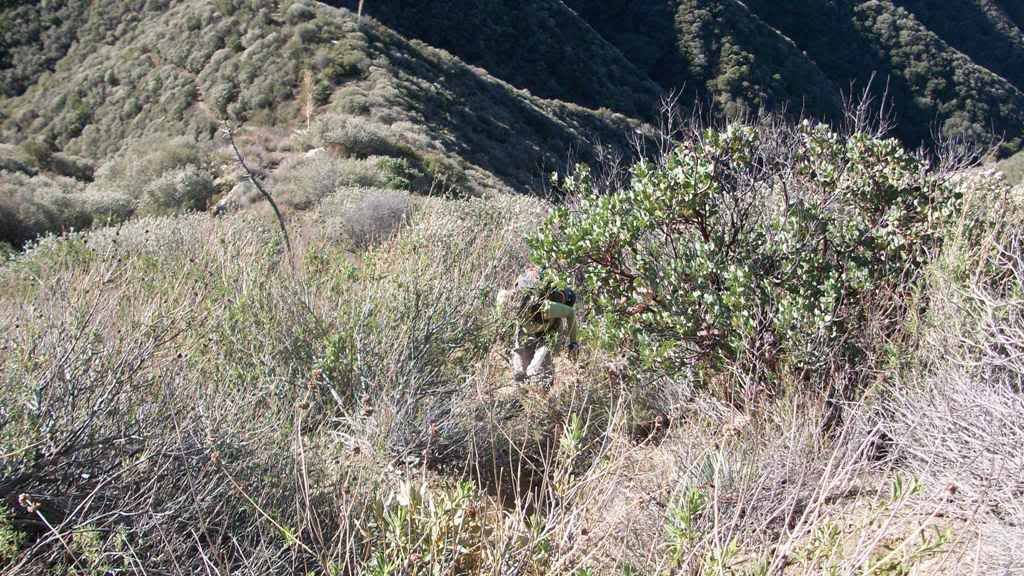
From Bonita Peak, we continued on the snow covered ridgeline, northeasterly in a rollercoaster fashion (picking up the trail again) topping out on 4 high points before reaching another saddle in 1.5 miles at el 4,600. This saddle dropped away on our left into Laurel Gulch and down to our right into Coldwater Canyon. Here, the trail headed down in “Private” Coldwater Canyon”, so Liz and I once again, ascended a ridgeline and quickly gained over 800’ el in 0.3 miles. We continued up to a small crest at el 5,400. Up to this point, there was very minimum bush whacking, but from this point further, it was futile to continue up the ridgeline. BUT!!!! From this vantage point, we were able to see below us a small snow covered use trail. So we quickly descended about 400’, found the trail and traversed northerly, along the north facing slope until we soon found ourselves in the shadows of Iron Mountain.
With time running out, we forced ourselves to turn around less than a few miles (best guess) from the summit of Iron Mtn. We found ourselves approximately a quarter mile further and about 1,400 feet above Allison Mine at our turn around point. We descended much the same way we came.
Sorry “Death March” gang, I was unable to check the talus descent from Iron Mtn to the Bridge as we discussed two weeks ago. I plan to make a bid for the summit of Iron Mtn very soon – snow covered preferred, but barren will be accepted. I will descend via the talus slope and report again.
Side notes:
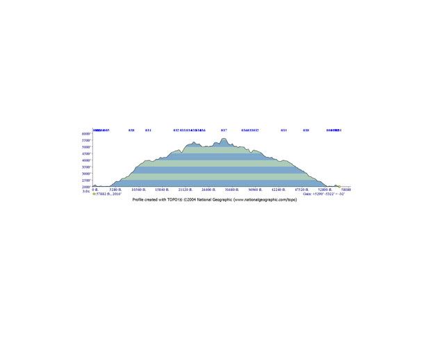
Total Mileadge = 12.6
Elevation Gain = 5,320 feet
Elevation Loss = 5,300 feet
I would like to thank Liz for being a great hiking partner and commend her on her physical stamina (she’s a personal trainer and is all about fitness) and endurance. I’d also like to mention that Liz told me she would like to gain experience on XC travel, bush whacking, and snow travel. Well, she was a super sport and did very well on all aspects of this hike which included a lot of bush whacking, XC travel, route finding, and above all, very steep sections of ridgeline travel. As far as the hiking part goes, as fast as I move, she easily could have moved twice as fast.
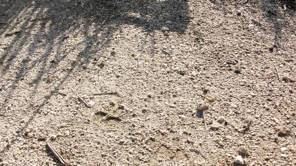
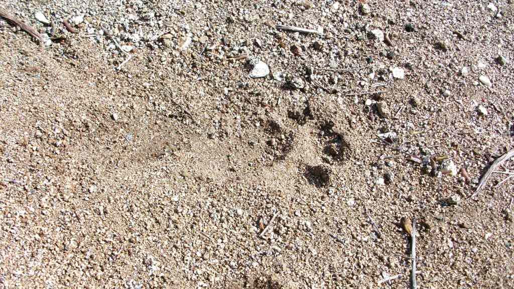
We found fresh animal tracks in the new snow through out the trip (maybe 15 different sets of tracks) and twice, heard large animals moving through the thick brush near us.
Cougarmagic – maybe you can help ID a few of these tracks.
~EnFuego
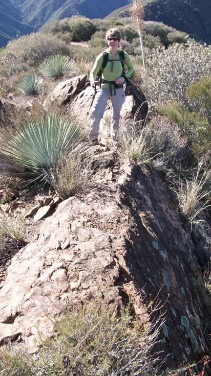
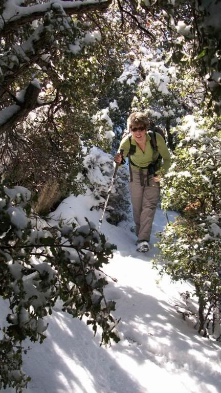
Liz coming up one of the ridgelines:
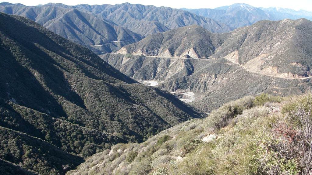
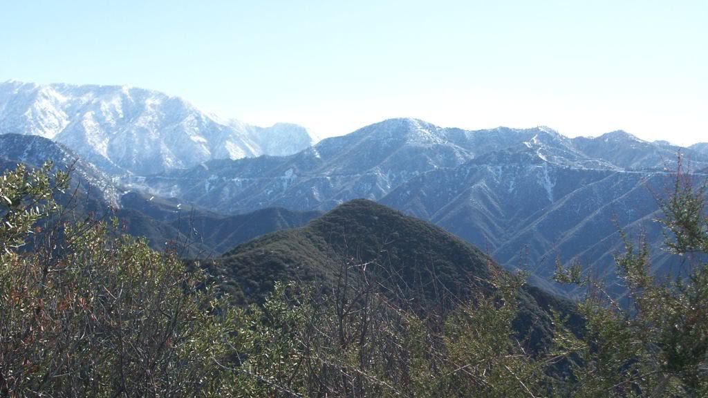
Looking down into the East Fork and Shoemaker Road:
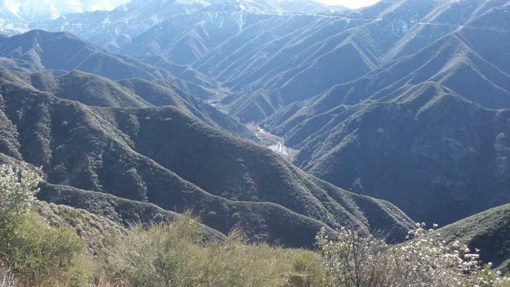
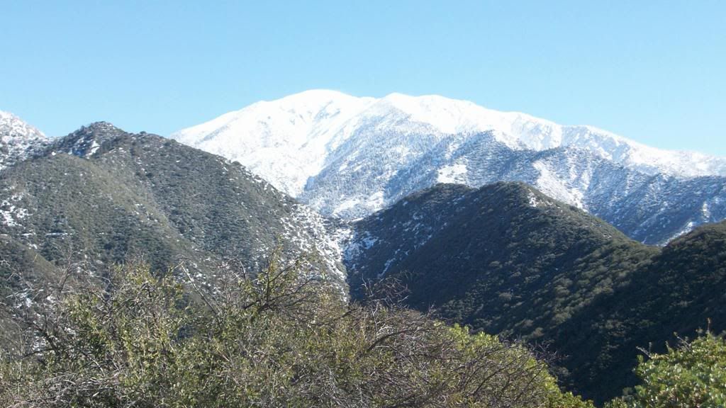
Looking down into Coldwater Canyon:
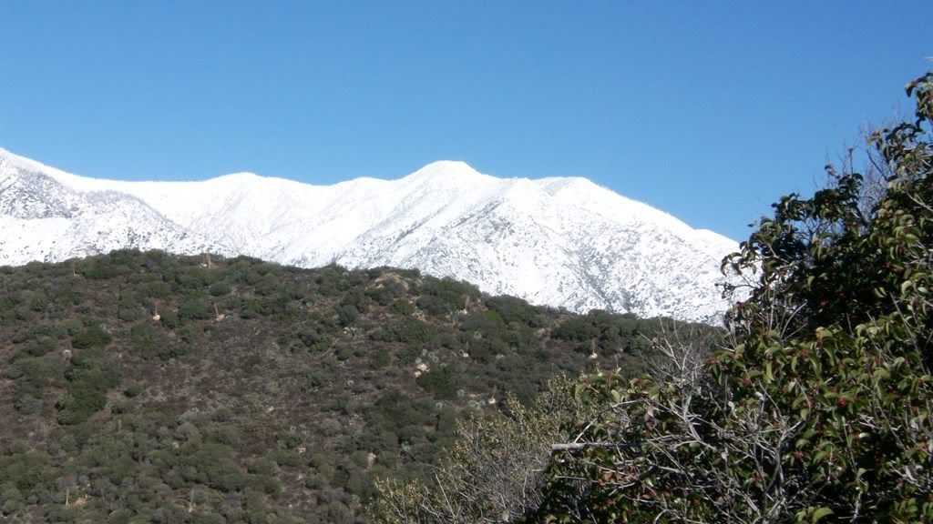
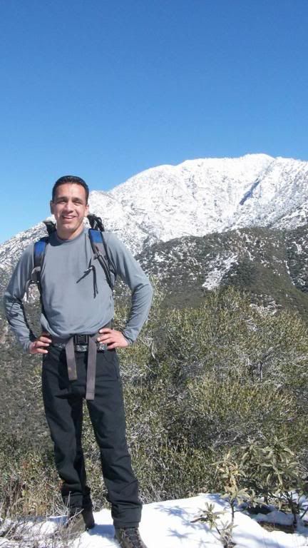
Our old friend - Mt Baldy:
Liz on another ridgeline:
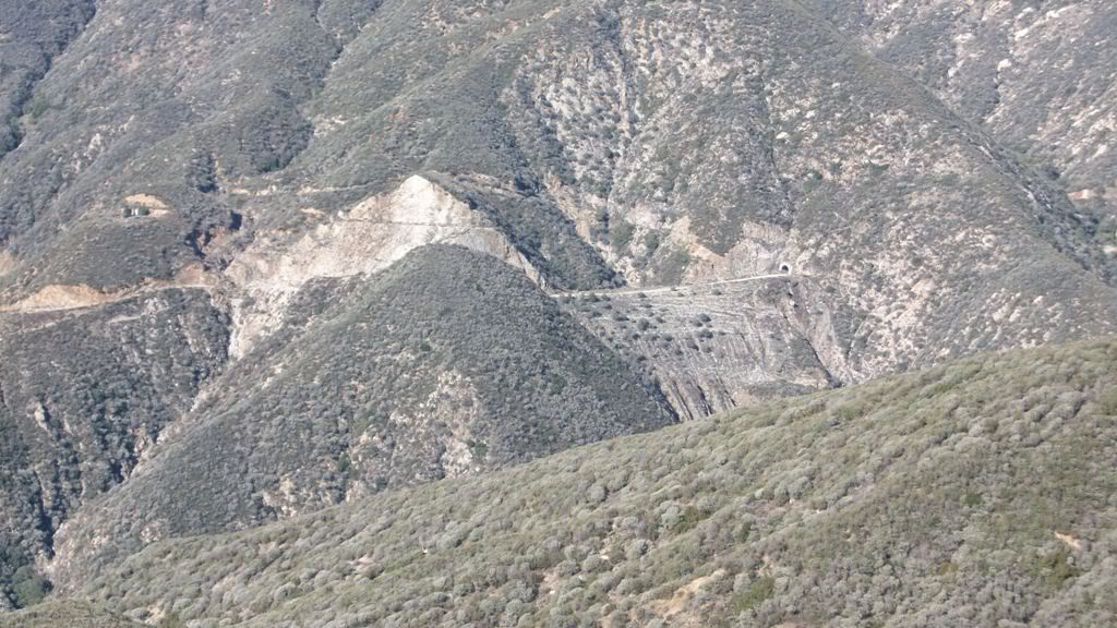
Looking down on Shoemaker Road and the tunnel:
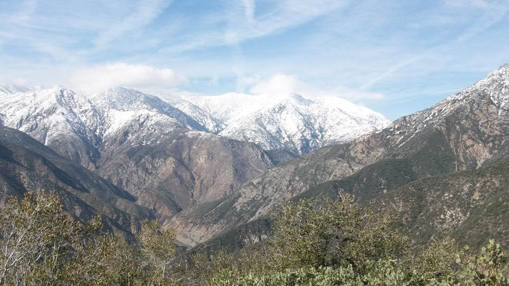
Our intended route up to S Hawkins:
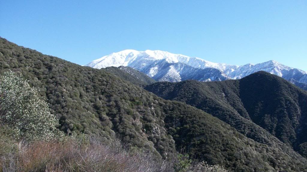
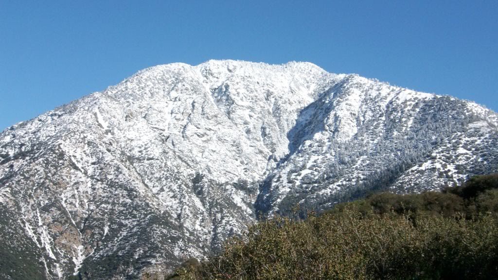
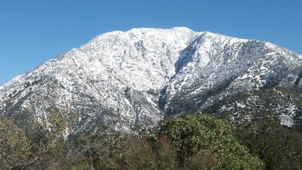
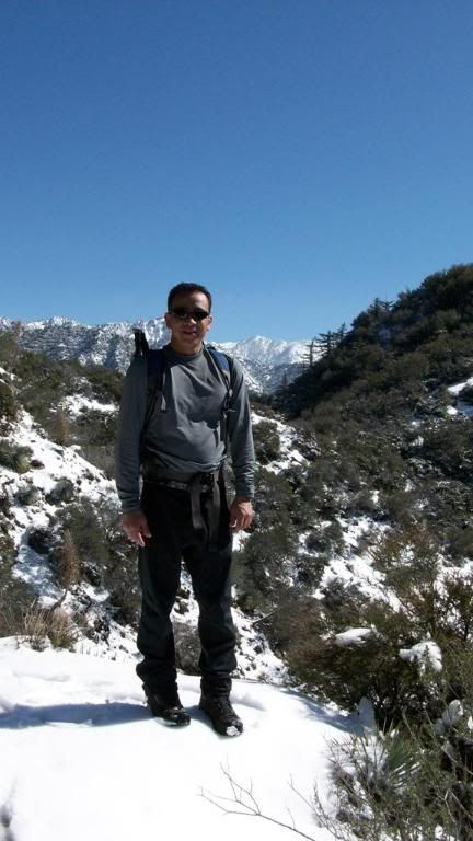
Iron Mtn:
Baldy:
Another shot at Iron:
Cat print?
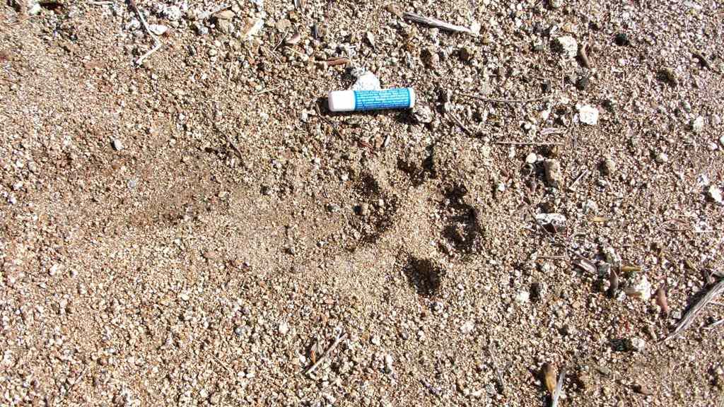
Different print: