Almost made it to the large rocky central buttress of the East Face of BP, but turned back due to purely awful conditions. It was hot out. That is flat out wrong.
Some pics:
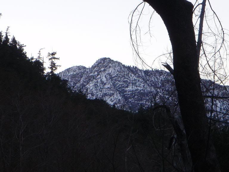
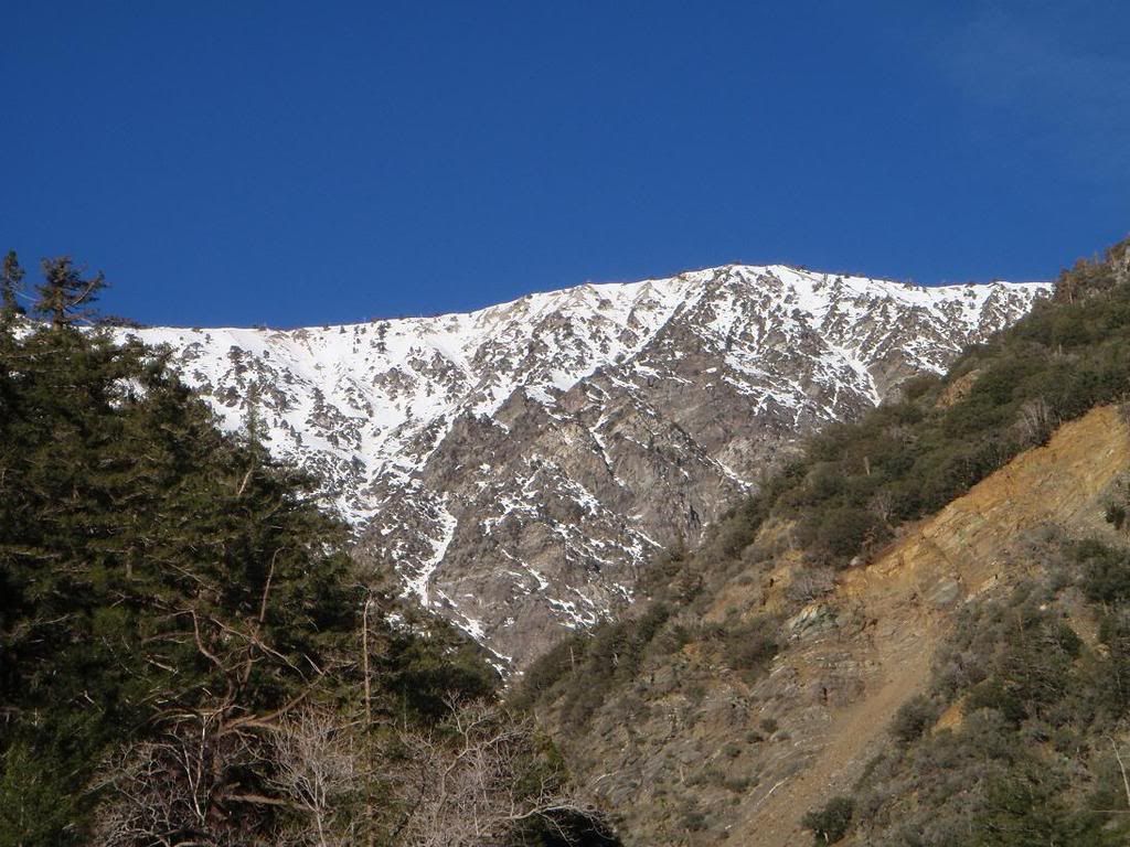
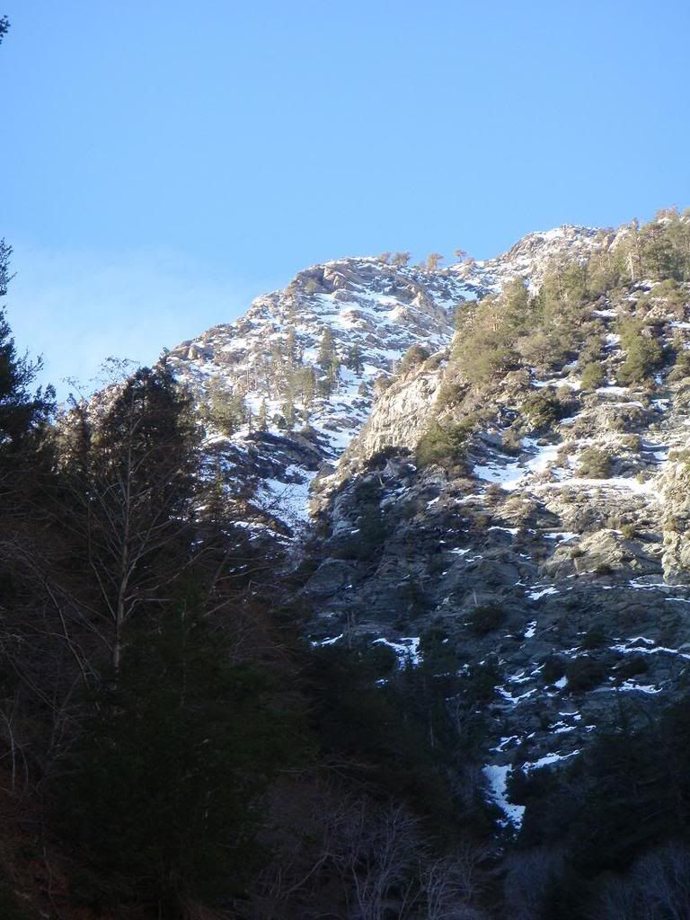
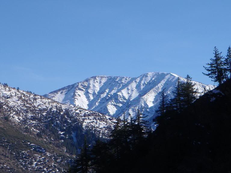
Iron Mountain from the north.
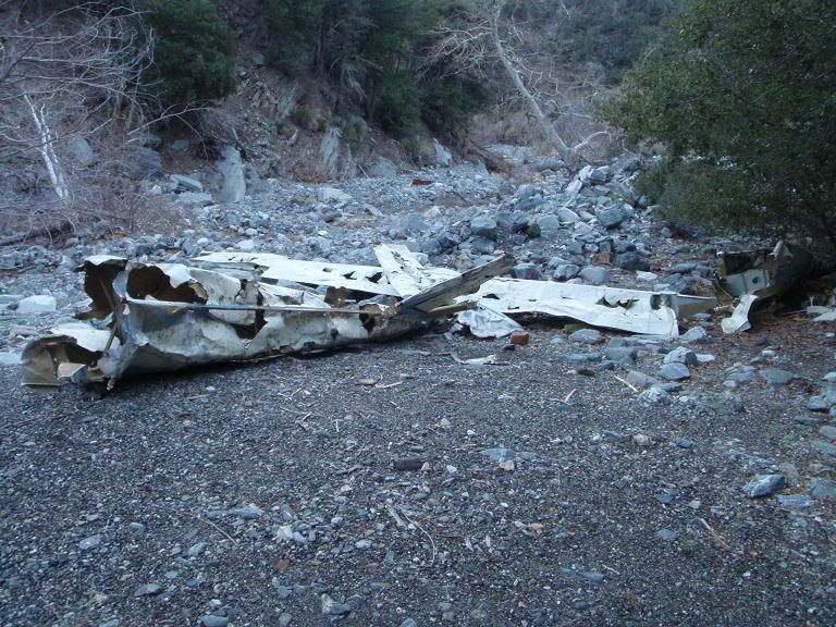
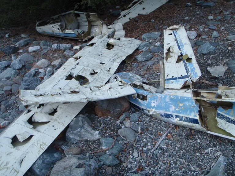
Private plane wreck
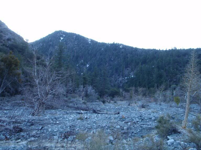
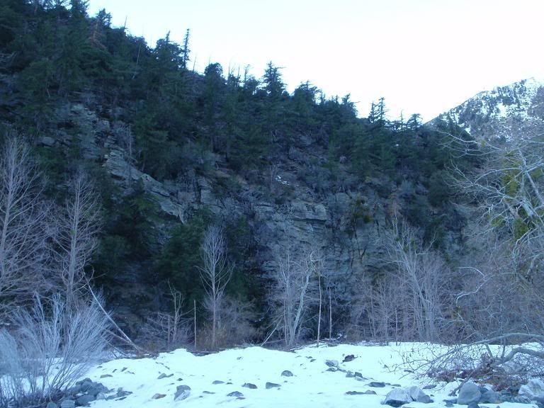
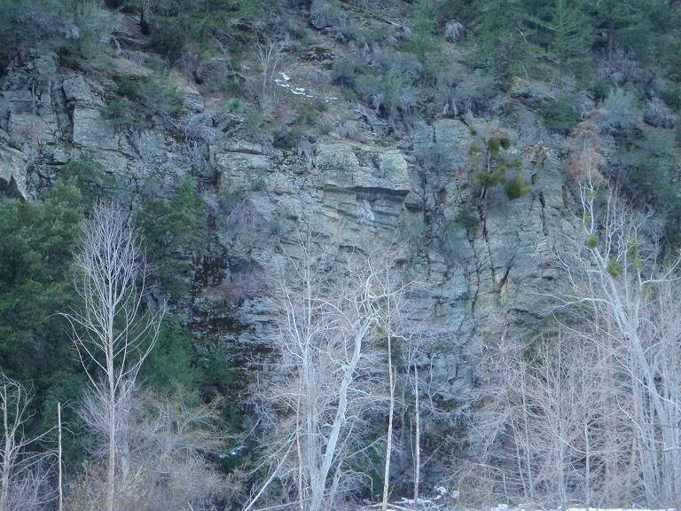
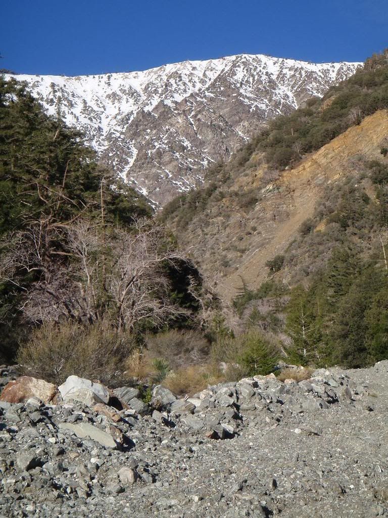
The area and a cliff
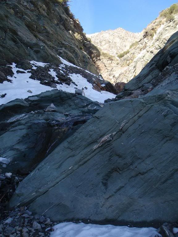
The objective, Mine Gulch Direct
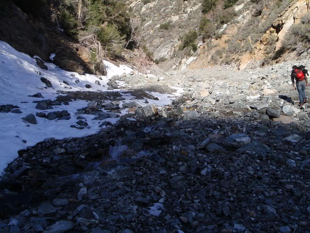
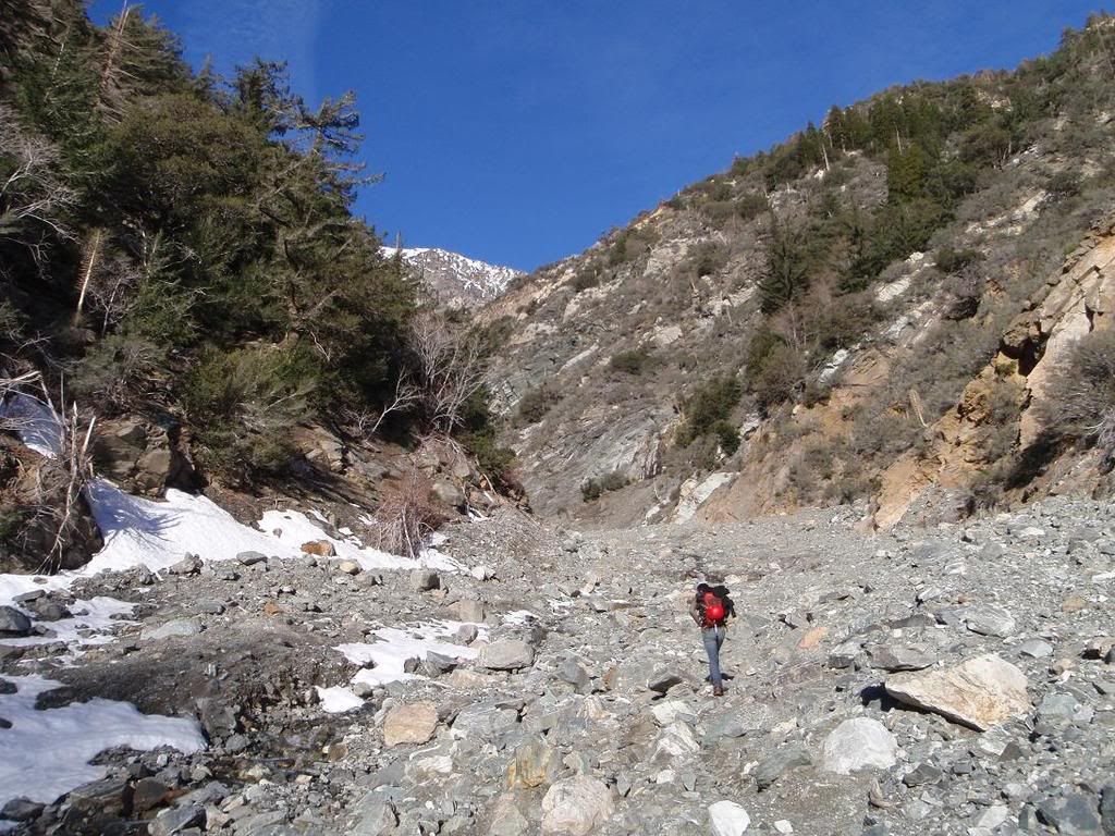
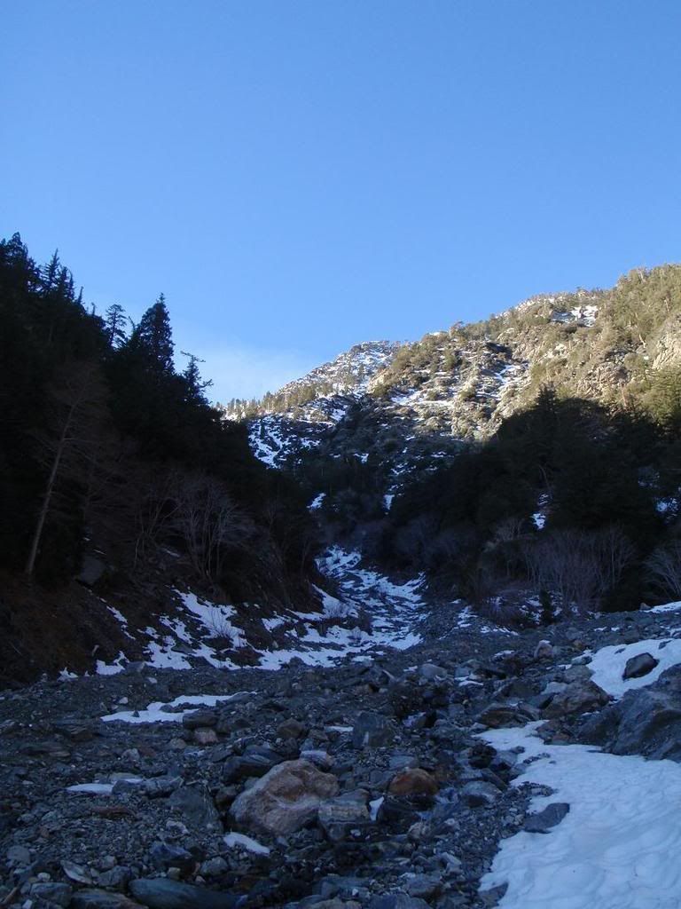
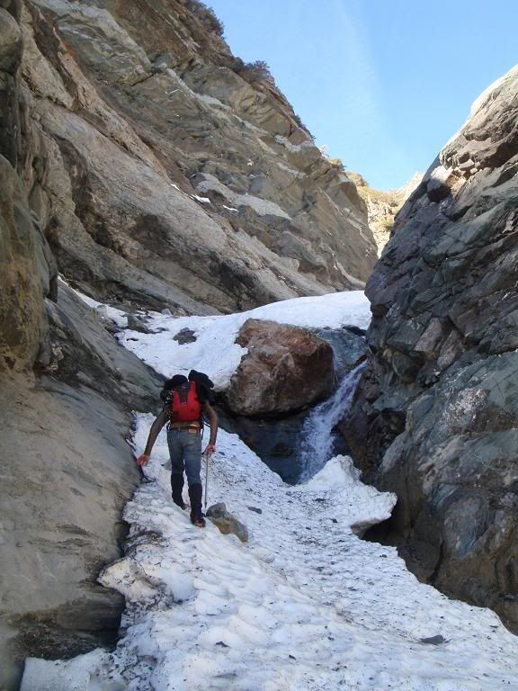
Hiking up Mine Gulch
Cool ski couloir
Pine
Up
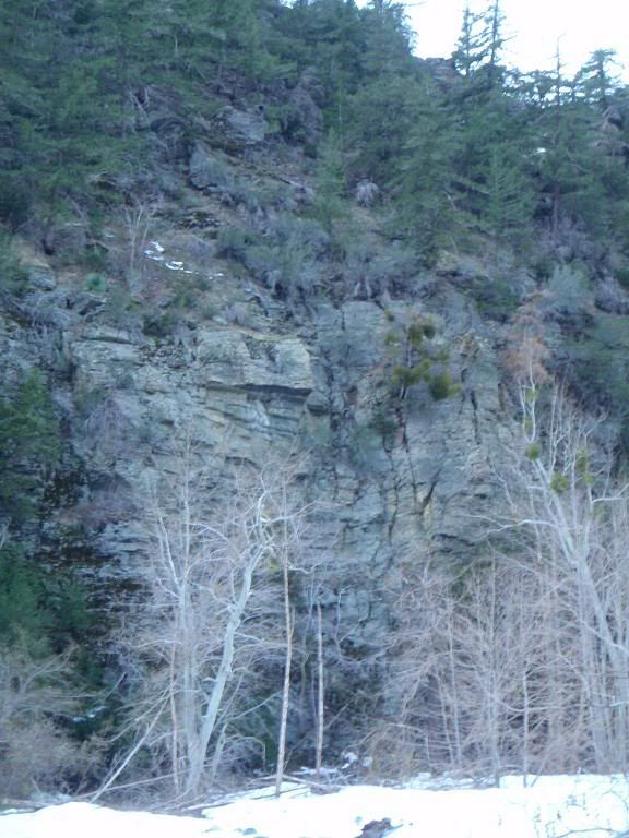
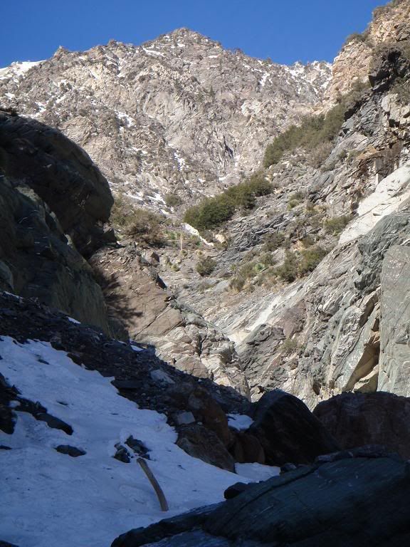
Central Buttress
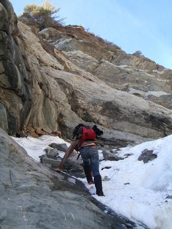
Alex on a not-fun part
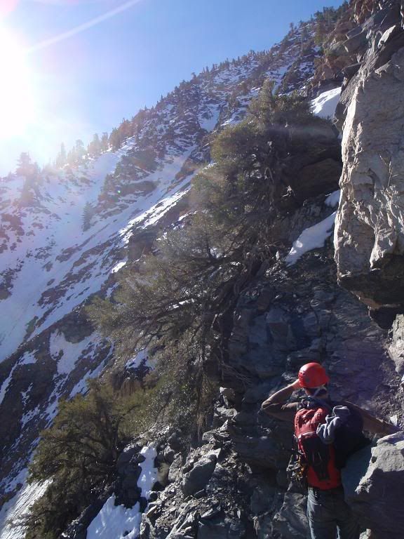
Alex
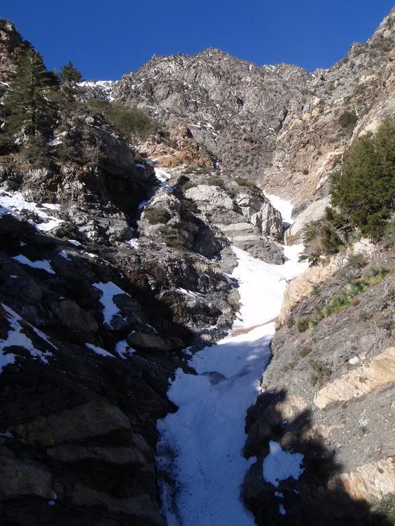
Looking out from our turn around point. Waterfalls.
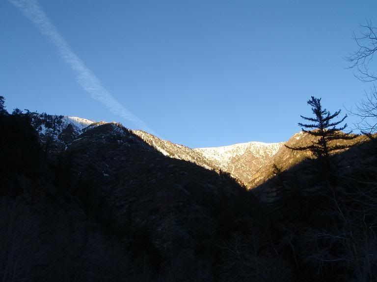
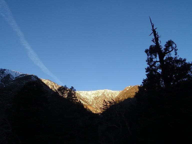
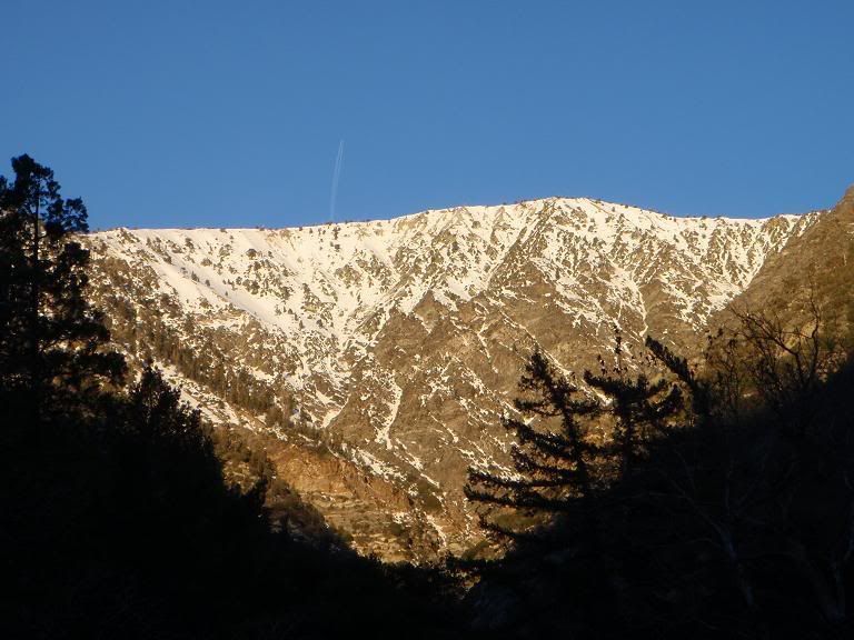
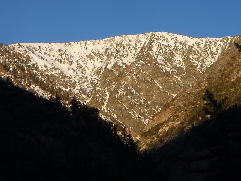
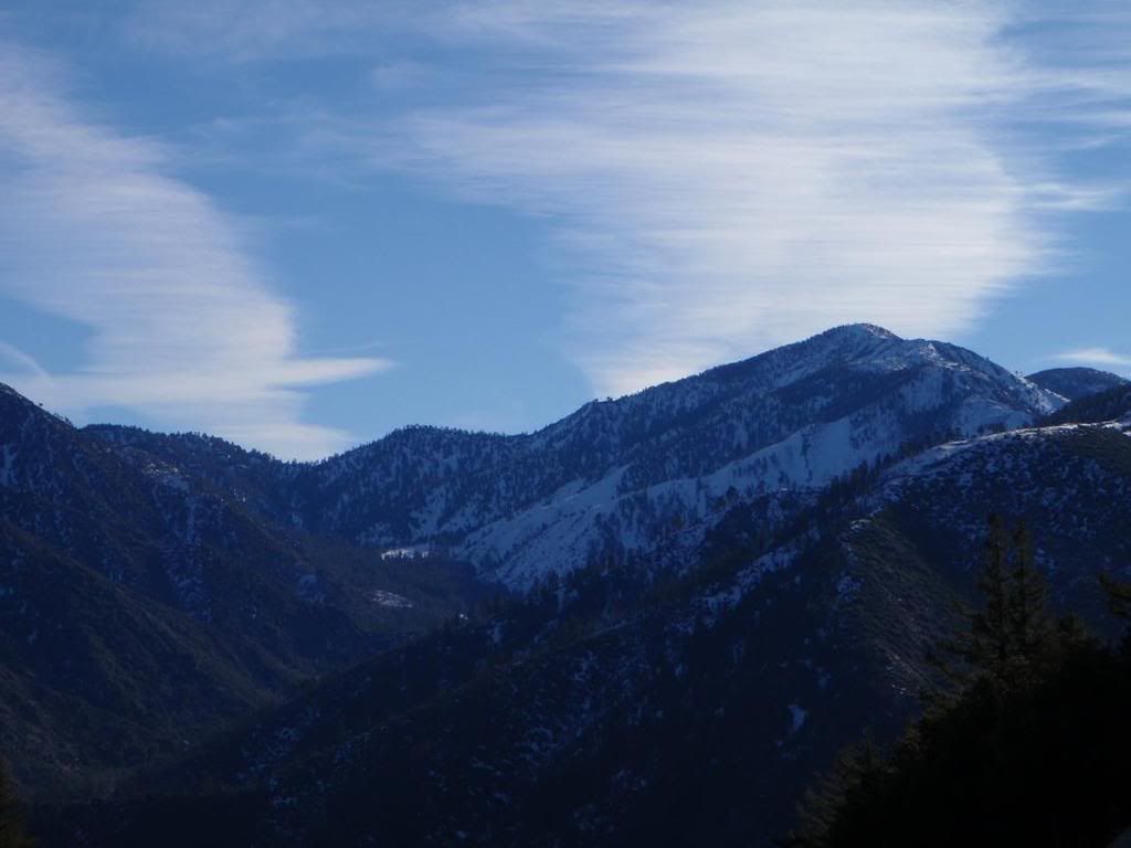
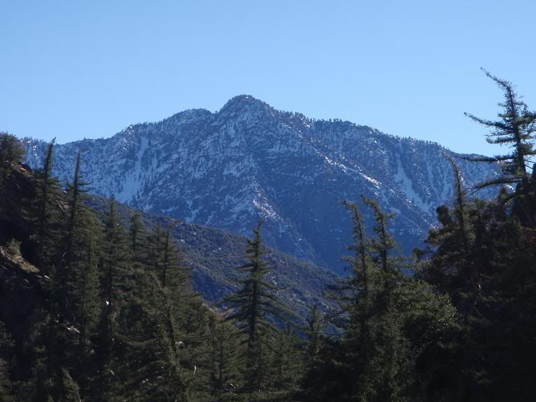
Baldy and W Baldy
Iron
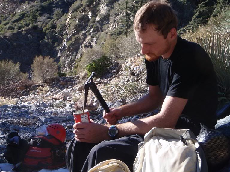
Forgot my can opener
We turned around and retreated on our approach. Instead of heading up the lowest easy part of Boulderdash back onto the Bighorn mine road, we continued up the "Vincent Gap Trail" I believe. I was destroyed by the time we got back to Alex's truck, having been up for 29 hours by then. Not fun. That trail wouldn't end.
I'm kinda burned out for a bit. Not getting what I used to get out of mountaineering.
Several waterfalls probably 20-30ft tall with crummy options to bypass (mud climbing). Then around a bend into the unknown. If only it were VERY cold out... maybe freeze those waterfalls up... like that'll ever happen.
I'm guessing we hiked/climbed/postholed/stumbled over loose rock somewhere in the region of 15 miles. Having done a brisk San Gorgonio summit up the Vivian Creek trail in one day, I can say this was by some margin tougher.
We eventually had to turn back after encountering a series of waterfalls against largely unclimbable (under present conditions and with the equipment we had available) rock walls. Here's a shot of my favorite.
That's pretty far up. I've never been up that far. I went to BH mine one time and dropped down the N Fork of Mine Gulch to Mine Gulch proper, but I've never been up Mine Gluch past where the N Fork drops in.
Is there a safe and quick way to get from BH mine to close to our point and back?
Safe and quick? It's pretty quick to hike the old mining road from Vincent Gap to the BH mine. It's maybe 2 miles with negligible gain/loss. But safe? Not so sure. Once you get to the mine, you have to drop down the old tailings pile down the gully that leads from the mine to the main fork of Mine Gulch. I've done it before, but it's steep and loose. If it were snow filled, it might actually be easier though.
Going to the mine and dropping down the tailings into the gully that leads to Mine Gluch proper is definitely faster than taking the trail from Vincent Gap down Vincent Gulch to the San Gabriel River and then going up Mine Gulch. Safe? Not sure. I did it. I know others who have. Not sure what the current conditions are.
Bill, who is on this forum, has done it more recently and might be able to give you better beta.
HJ
I did Bighorn mine down to Mine Gluch and back up Vincent Gulch in early Nov. The descent from the mine is not physically demanding, but it beats you up from slipping and falling, and picking your way down. Took about 45minutes from the mine to Mine Gulch (I think going up that way would be brutal). It showed on Topo that there was a trail that goes from the top of the mine area over to Mine Gulch, (at approximately your turnaround point) but I have not explored that area yet. Looks a little steep and rocky to me though. I may check it out if the weather stays like this. Was your goal the mine? http://www.flickr.com/photos/30922174@N ... 326335875/
Thanks guys! I'll remember that tailings scree slope dealy for next time.
Was our goal the mine? Not sure if I understand, Bill.
Was our goal the mine? Not sure if I understand, Bill.
Bill, I believe their goal was the summit of Baden-Powell itself. They're both insane ice pirates; they're interested in taking the summit via the E face of B-P. On ice. The mine itself would just be a quick way to drop in to Mine Gulch so they could climb B-P.
Hikin_Jim wrote:Safe and quick? It's pretty quick to hike the old mining road from Vincent Gap to the BH mine. It's maybe 2 miles with negligible gain/loss. But safe? Not so sure. Once you get to the mine, you have to drop down the old tailings pile down the gully that leads from the mine to the main fork of Mine Gulch. I've done it before, but it's steep and loose. If it were snow filled, it might actually be easier though.
Going to the mine and dropping down the tailings into the gully that leads to Mine Gluch proper is definitely faster than taking the trail from Vincent Gap down Vincent Gulch to the San Gabriel River and then going up Mine Gulch. Safe? Not sure. I did it. I know others who have. Not sure what the current conditions are.
Bill, who is on this forum, has done it more recently and might be able to give you better beta.
HJ
I did Bighorn mine down to Mine Gluch and back up Vincent Gulch in early Nov. The descent from the mine is not physically demanding, but it beats you up from slipping and falling, and picking your way down. Took about 45minutes from the mine to Mine Gulch (I think going up that way would be brutal). It showed on Topo that there was a trail that goes from the top of the mine area over to Mine Gulch, (at approximately your turnaround point) but I have not explored that area yet. Looks a little steep and rocky to me though. I may check it out if the weather stays like this. Was your goal the mine? http://www.flickr.com/photos/30922174@N ... 326335875/
Thanks guys! I'll remember that tailings scree slope dealy for next time.
Was our goal the mine? Not sure if I understand, Bill.
Thanks for the info!
I was wondering if you guys intended to make your way up to Baden Powell by that route, or had you intended to exit via the mine?
Just beyond the stamp mill a faint trail with dangerous exposure continues over a mile passing a prospect that supposedly contains a hidden tunnel. The writers strongly recommend against any solo trips on this dangerous trail and urge all parties to tie in with rope. The trail ends at the top of a rather steep canyon. At the bottom of the canyon another tunnel entrance may be seen. This tunnel is reportedly quite shallow but has not been visited by the writers.


