THORN POINT
Posted: Thu Jul 06, 2017 7:57 pm
A week ago Wednesday, I bagged another peak in the Sespe Wilderness with my usual Wednesday hiking crew.
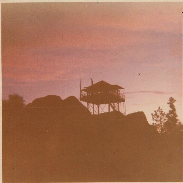
Thorn Point is one of the last Lookout towers still standing in the Los Padres.
W. H. Thorn was an early day surveyor with the U. S. Geological Survey that mapped the Ventura County area in 1905. Both the meadow, camp and point were named for him.
Thorn Point trailhead is located off of Forest Service Road 7N03.1.
SUV recommended.
Most of the trail has steep switchbacks with lots of shady trees and cool rock formations along the way.


Looking down at the canyon.

First glimpse of Thorn Point Lookout from the trail below.

Final push to the summit.

Whoohooo! Thorn Point.


Views from the summit.


Views from inside the Lookout Tower with a few surprises.


Scrambled down the ridge on the other side of the summit.

Stats: 8.5 miles, 2200 elevation gain.

Thorn Point is one of the last Lookout towers still standing in the Los Padres.
W. H. Thorn was an early day surveyor with the U. S. Geological Survey that mapped the Ventura County area in 1905. Both the meadow, camp and point were named for him.
Thorn Point trailhead is located off of Forest Service Road 7N03.1.
SUV recommended.
Most of the trail has steep switchbacks with lots of shady trees and cool rock formations along the way.


Looking down at the canyon.

First glimpse of Thorn Point Lookout from the trail below.

Final push to the summit.

Whoohooo! Thorn Point.


Views from the summit.


Views from inside the Lookout Tower with a few surprises.


Scrambled down the ridge on the other side of the summit.

Stats: 8.5 miles, 2200 elevation gain.


