Magic Mountain and Garfield Benchmark
Posted: Fri May 10, 2024 6:59 pm
I had a day open up unexpectedly, so decided to head to Magic Mountain (4864'). I made a bike attempt from the east last year, but a key gate was closed and I didn't have time to complete the longer distance. his time, I started from Bear Divide and a western approach. I parked just before Bear Divide where the Santa Clara Truck Trail (forest route 3N17) crosses Sand Canyon. This was a road hike all the way. Would have been faster on a bike, but I would have had a push quite a bit of uphill.
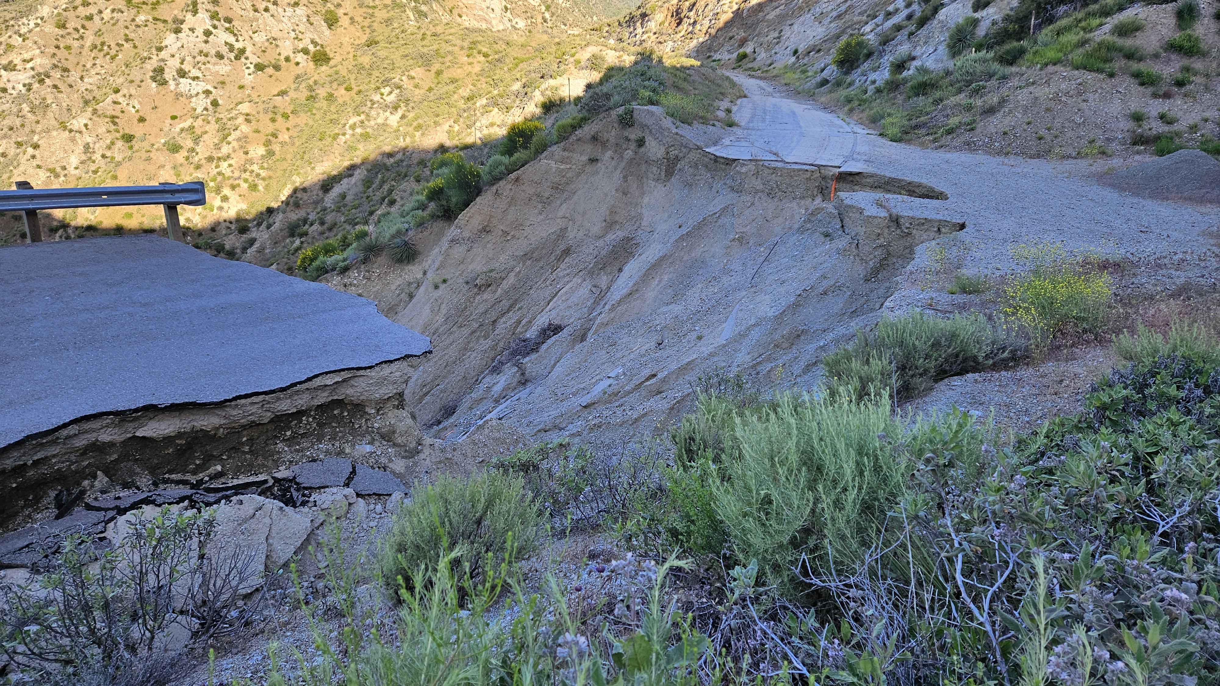
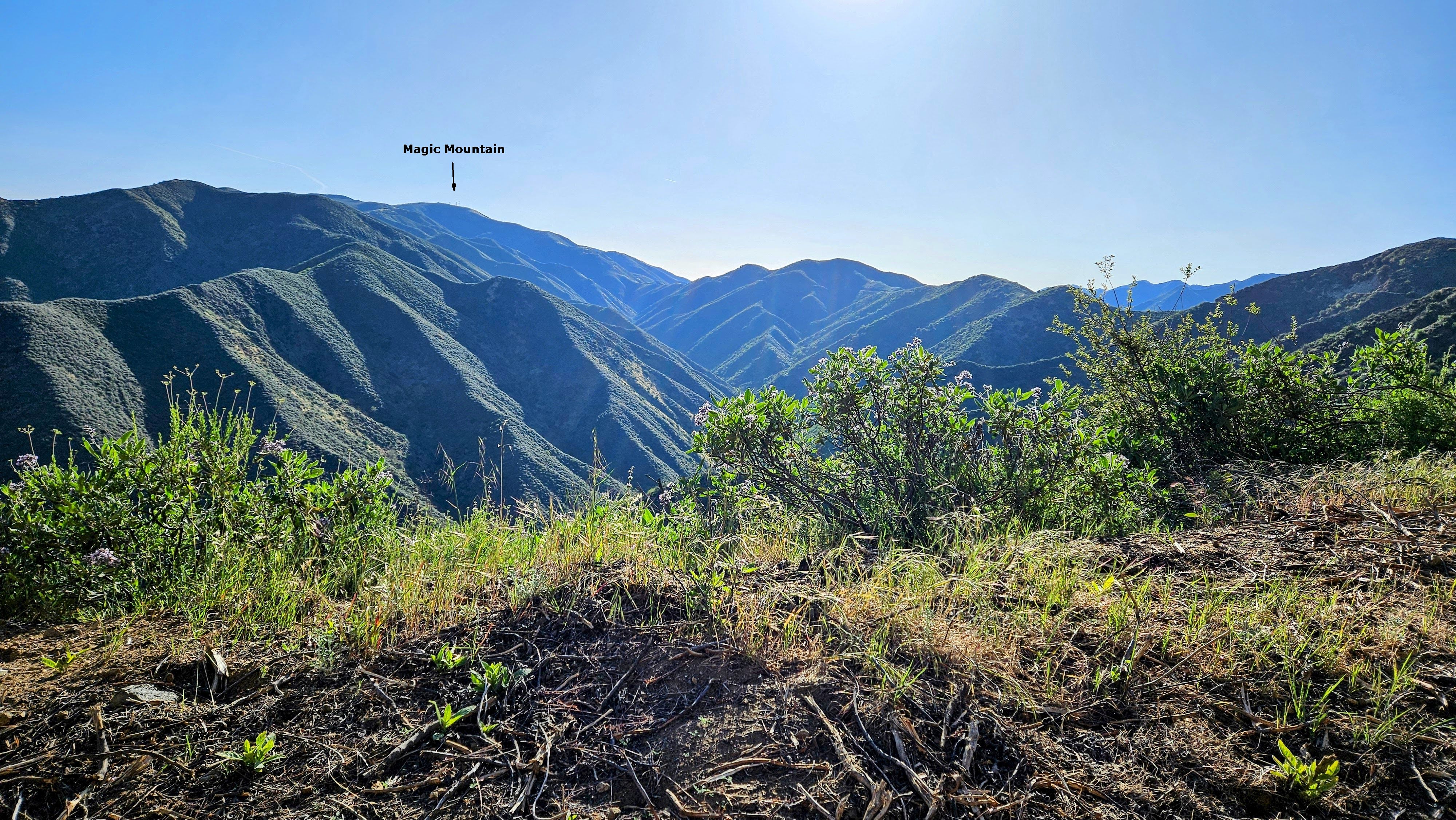
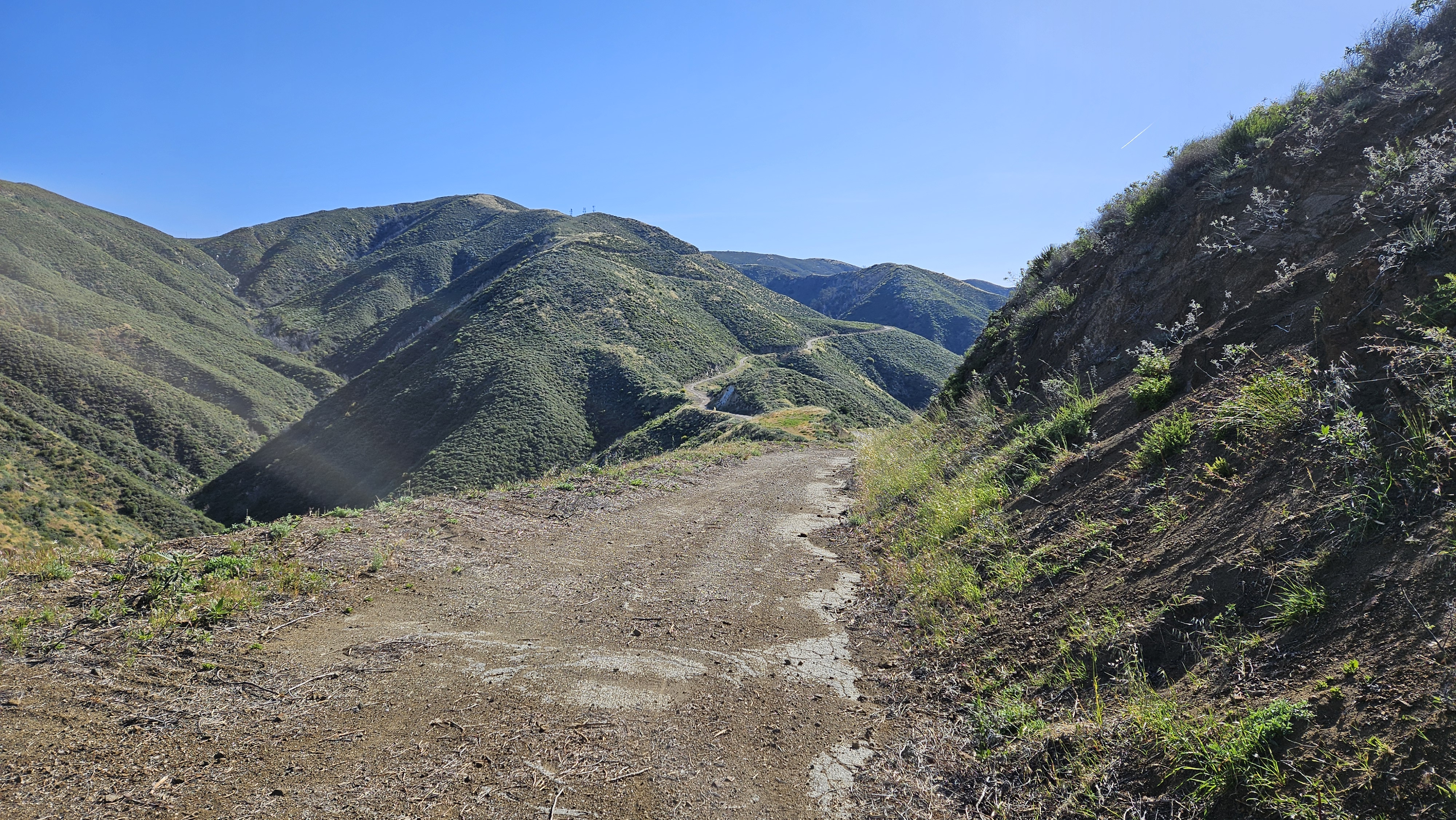
After a half mile, I came to a huge washout. I had seen photos of the washout, but it was from years ago and I didn't know if the road had been repaired. Turns out no. Other than rockfall scattered across the road in places, this was the only major damage to the road. Mendenhall Peak and the Pinnacle were in constant view on a parallel ridge. The road went about 0.4 miles past the summit where it intersected the Magic Mountain Truck Trail. From there, it was less than a half mile to the top.
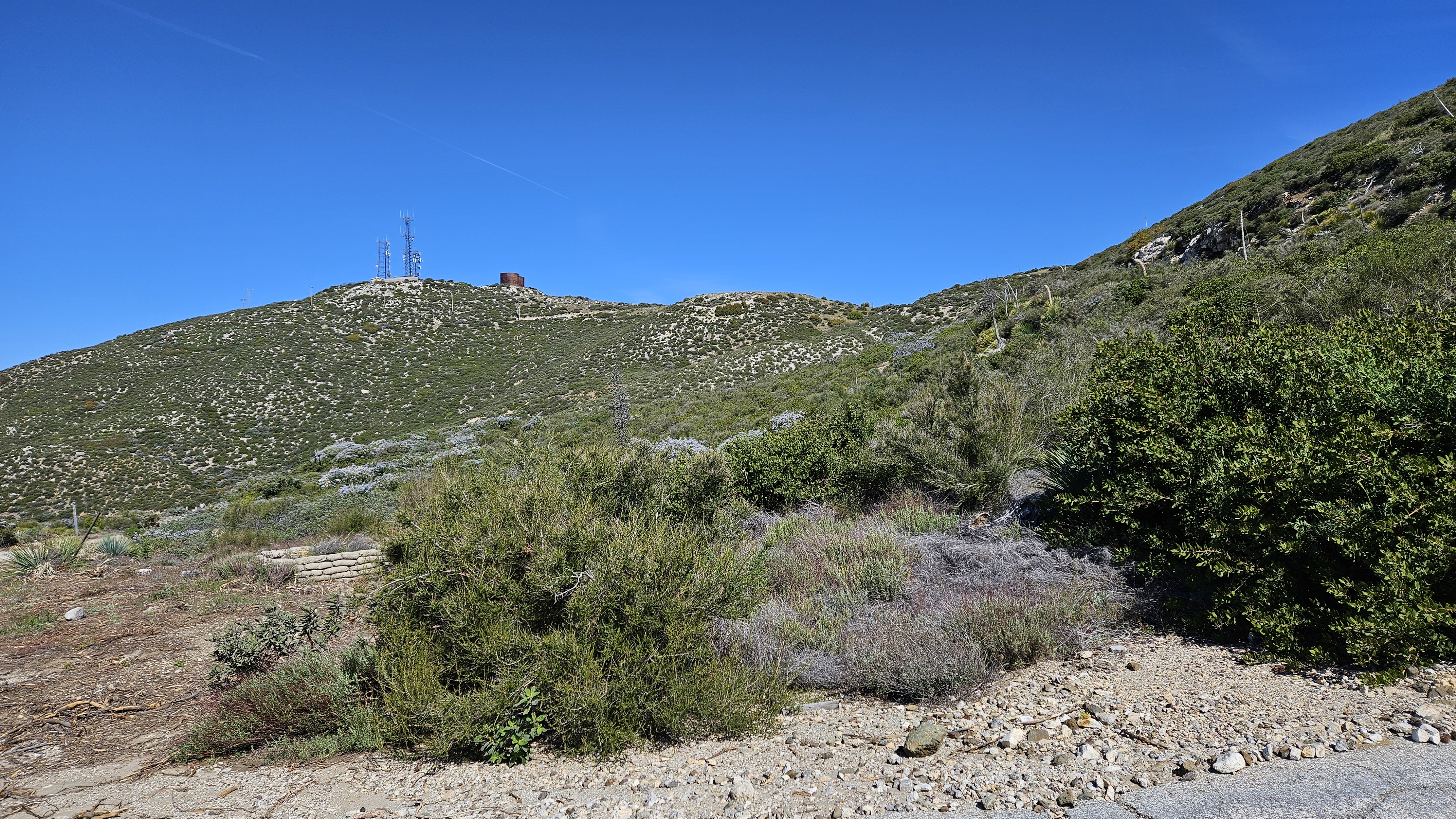
Magic Mountain from the MM Truck Trail junction
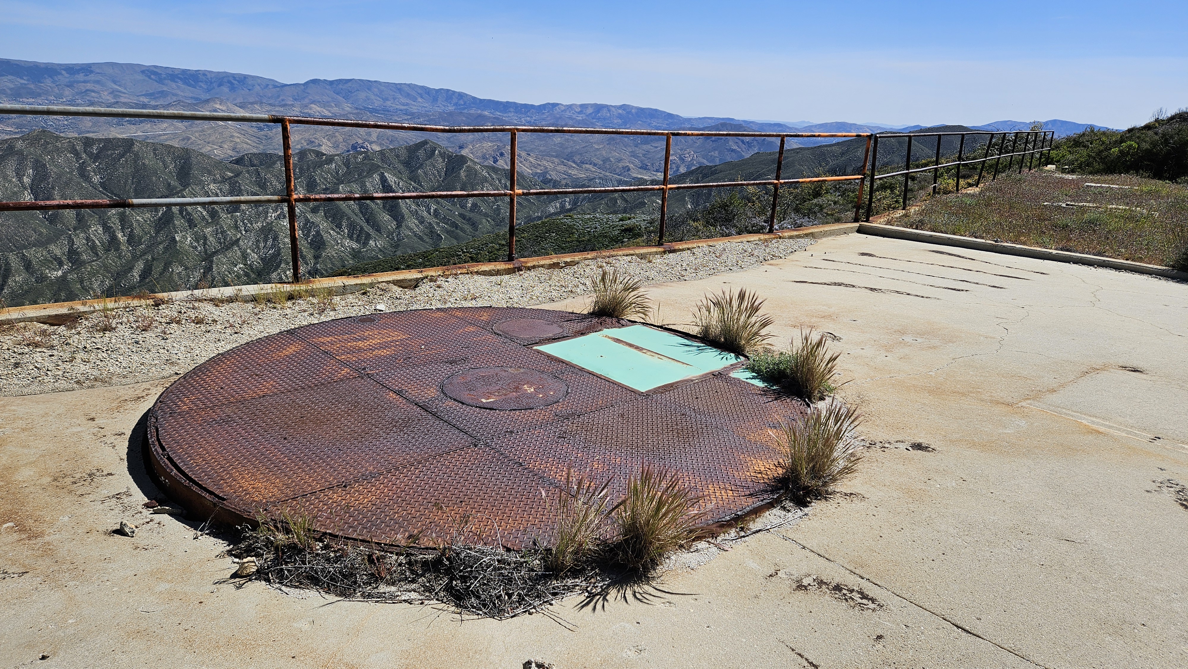
One of two Nike silos
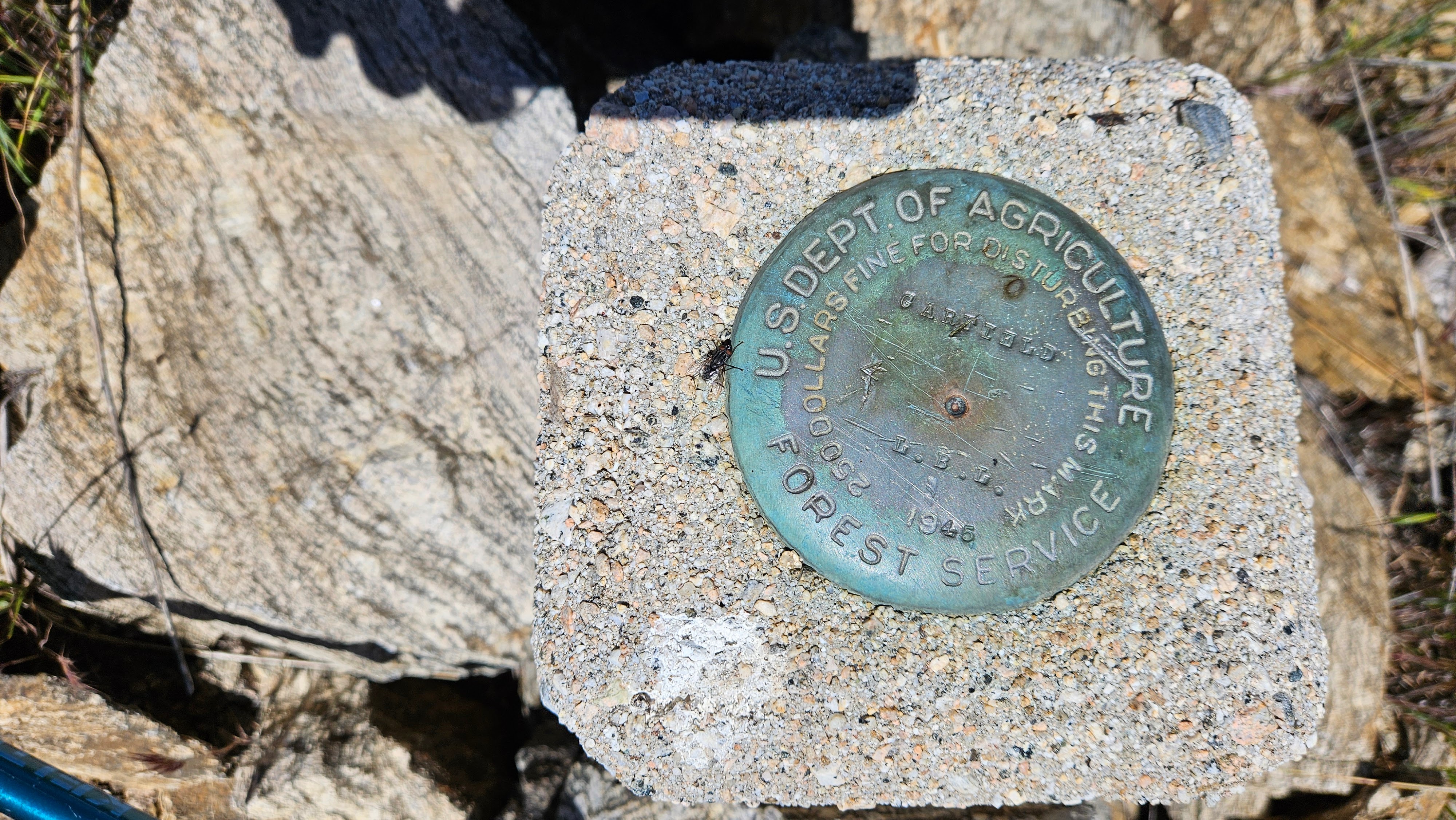
There were also two water towers and three radio towers. The summit was fenced. I walked along the perimeter of the fence and stumbled on an LA County Engineering benchmark on the west side, just outside the fence. It was named "Little Tujunga" and placed in 1964. If there was a USGS mark, I didn't find it, or maybe it was inside the fence. Didn't find a register. After hanging around on top a while, I headed back. When I got the junction with the Dagger Flat Trail, it looked a little overgrown. I decided to continue up the road a bit. I spotted a better section of the Dagger Flat Trail and left the road to grab it. From there, it was about 0.3 miles to Garfield. I left the trail to climb the ridge to Garfield, stepping slowly through waist high grass and soft plants. I kept stabbing where I could not see the ground with my pole to check for snakes. No surprises. Garfield had an intact benchmark in a small cinder block. No register. Garfield rose about 150' above the road. Next, I decided to descend the west ridge instead of going back. I was going to have to wade through tall grass and minor bushwhacking either way. There was enough of an animal trail on the west side that I got down without much fuss. The diversion probably cost about 30 minutes. I was amazed to have waded through so much grass with no ticks.
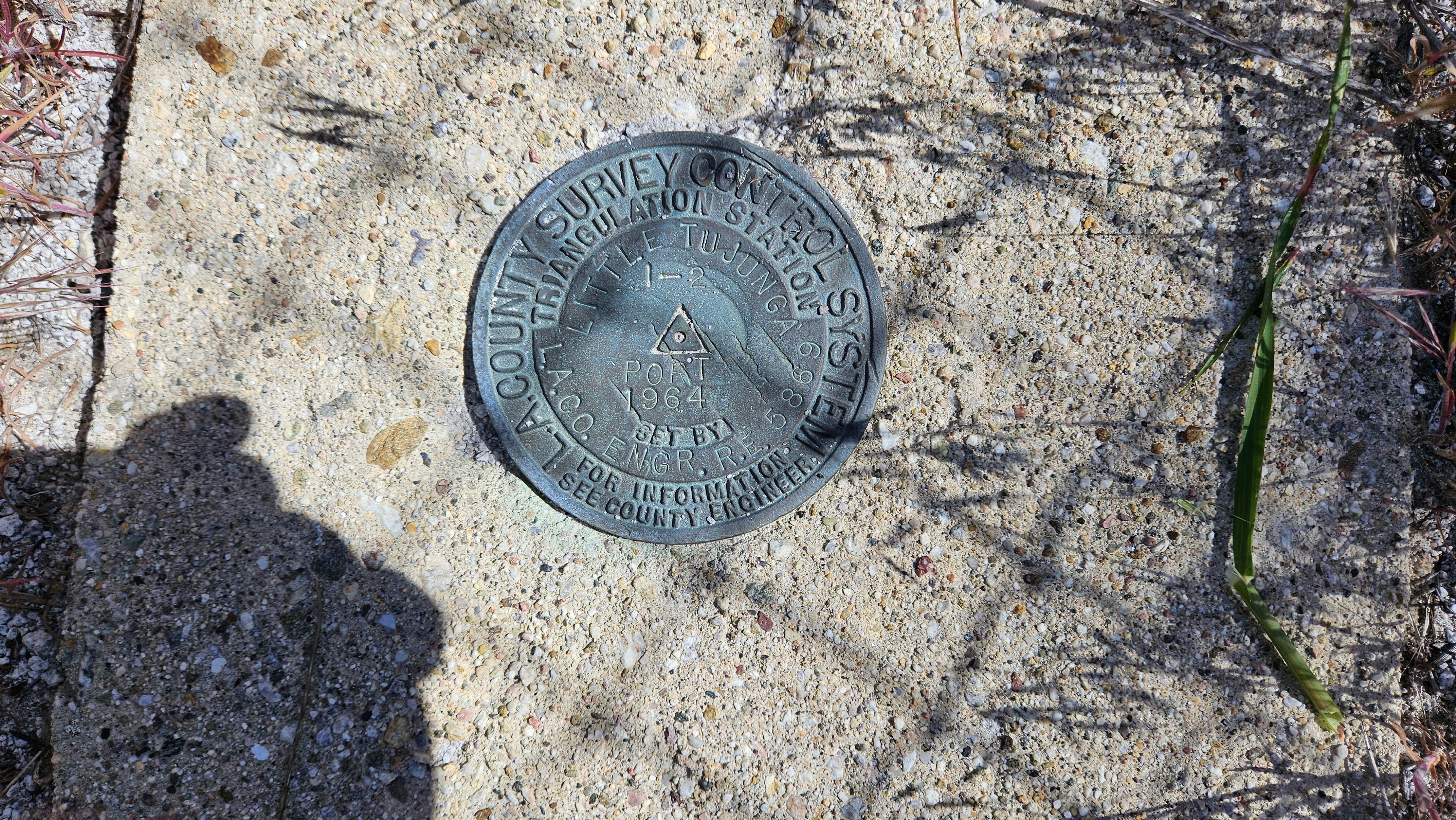
LA Engr Benchmark
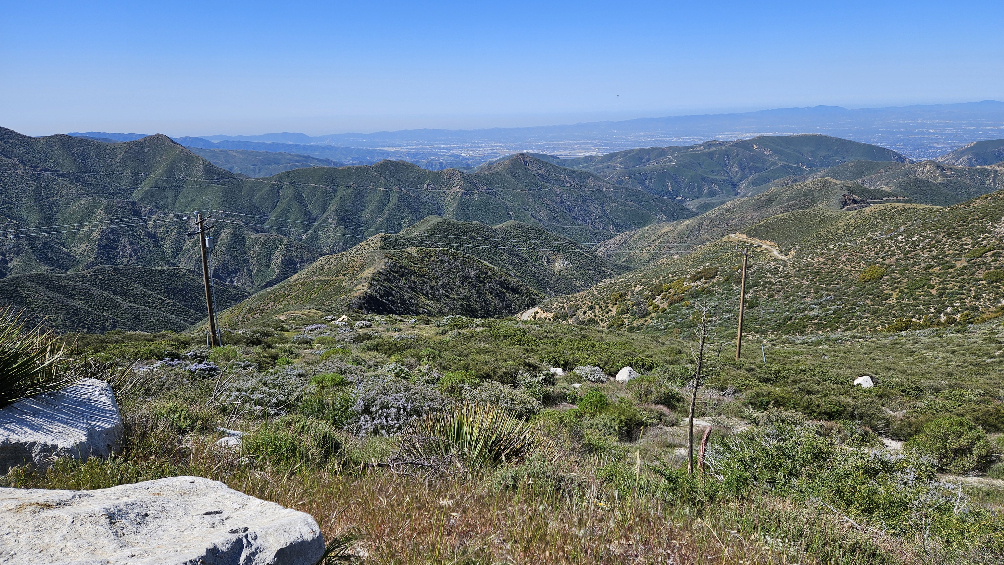

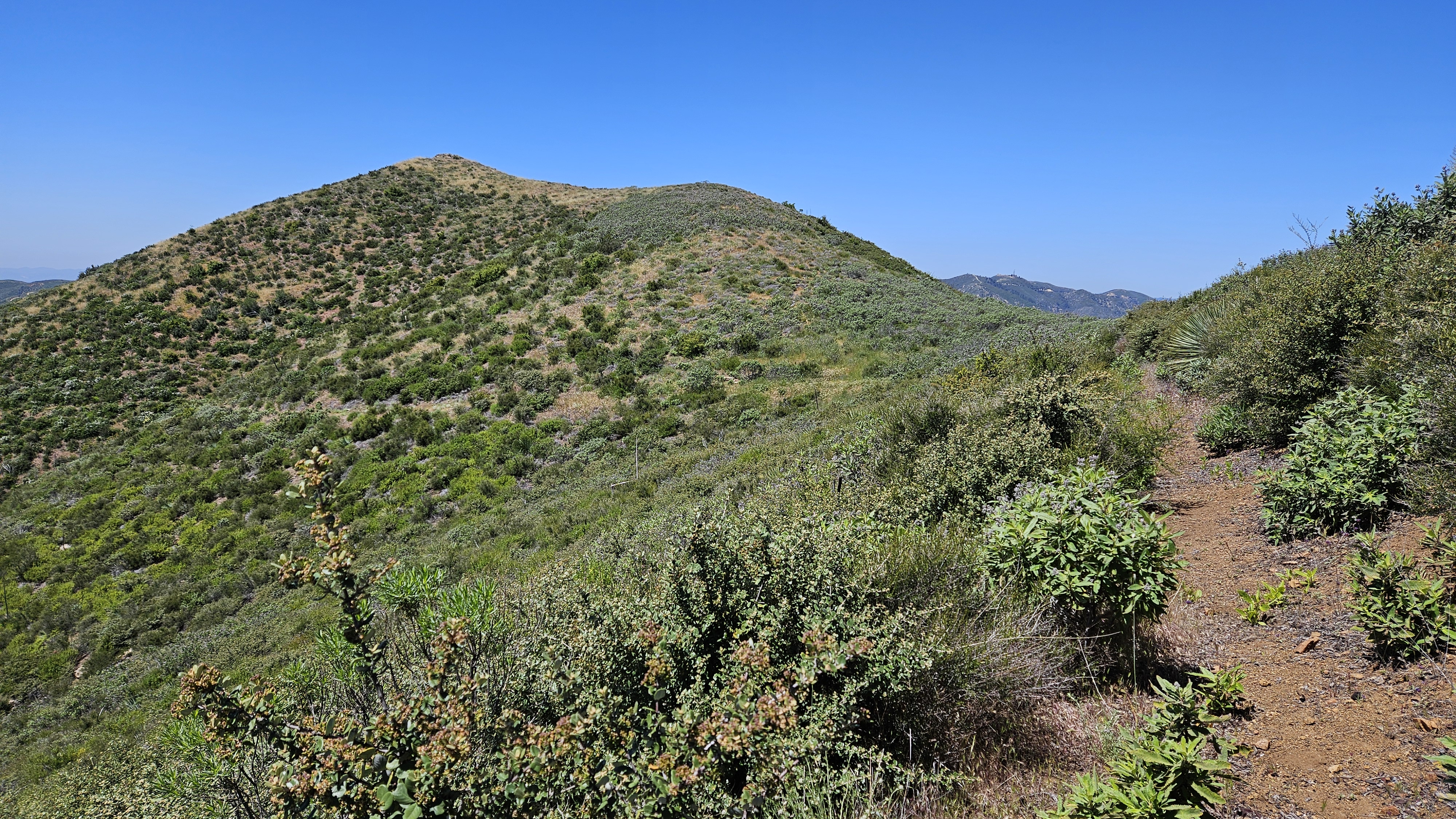
Approaching Garfield
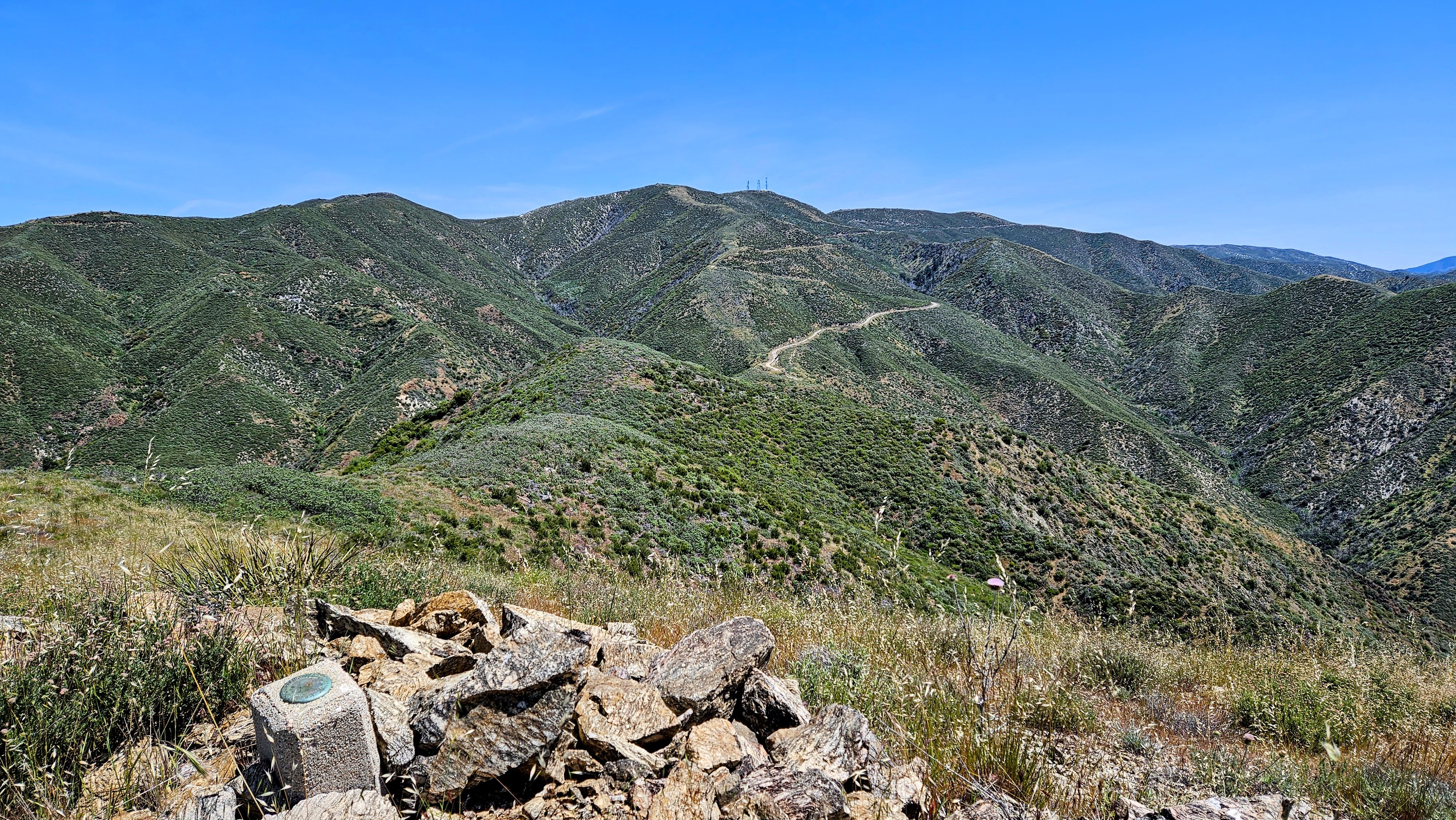
Looking back at Magic from Garfield
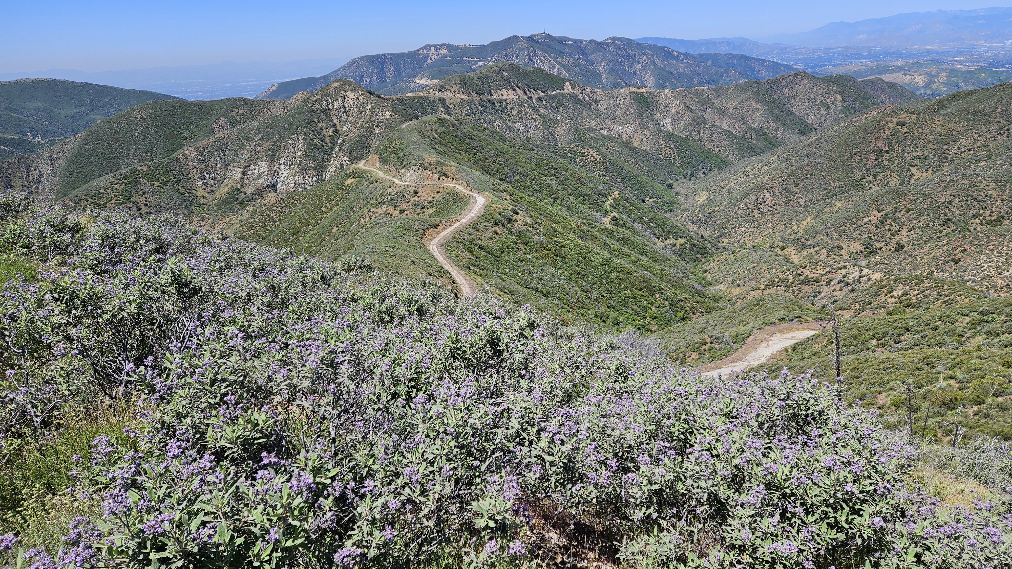
Descending the west ridge
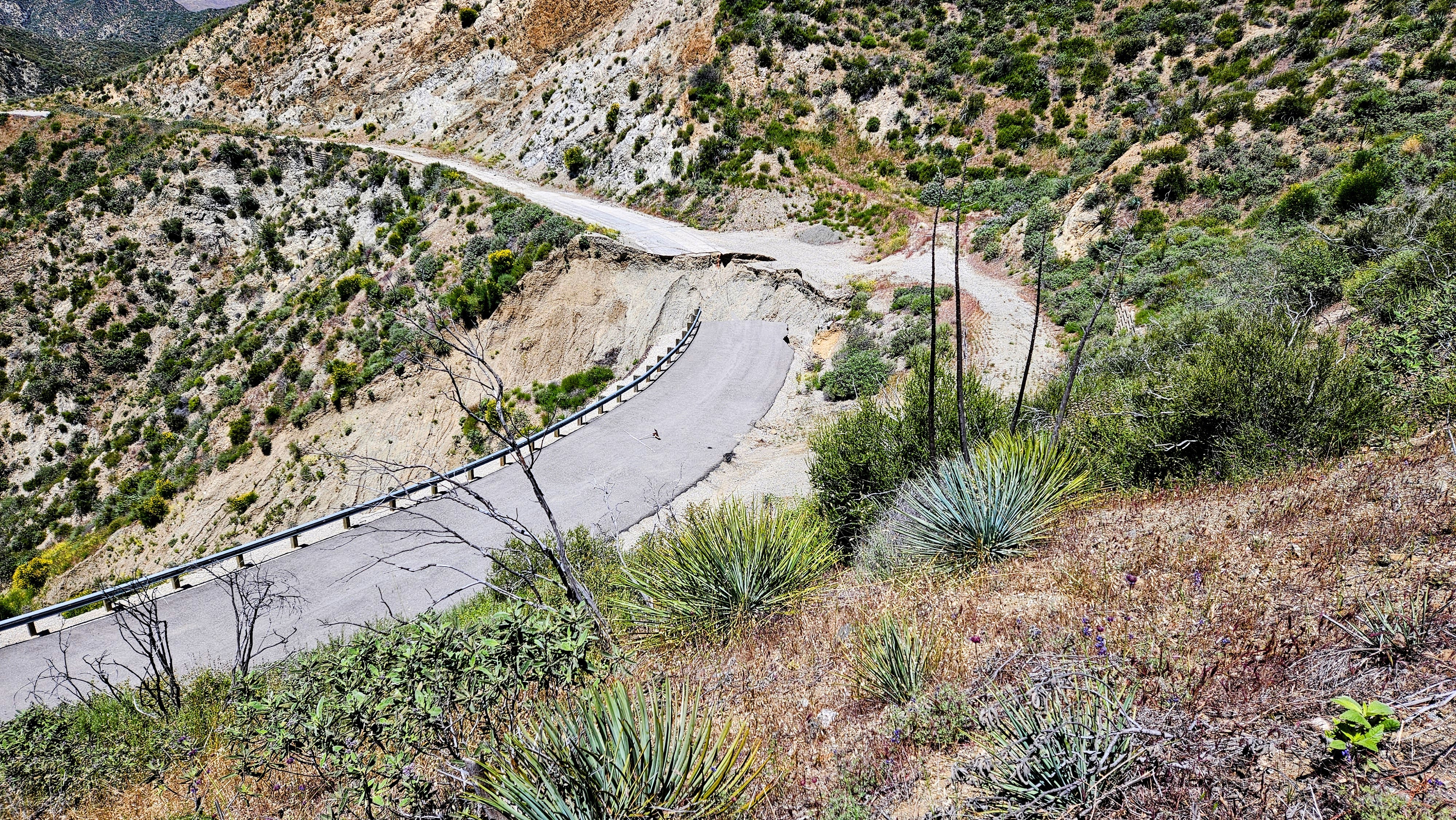
Washout from above
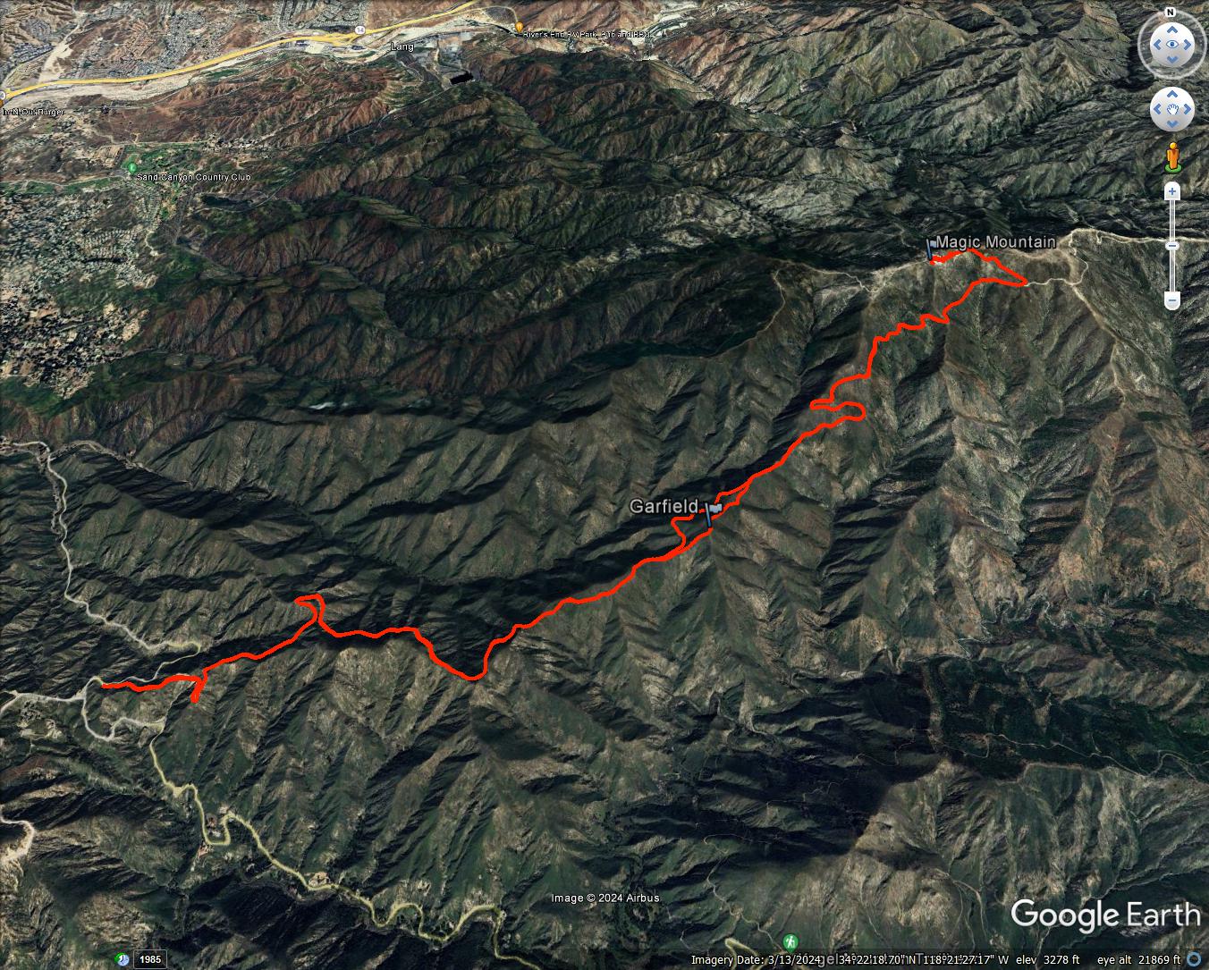
14.2 miles, 2700' gain
After a half mile, I came to a huge washout. I had seen photos of the washout, but it was from years ago and I didn't know if the road had been repaired. Turns out no. Other than rockfall scattered across the road in places, this was the only major damage to the road. Mendenhall Peak and the Pinnacle were in constant view on a parallel ridge. The road went about 0.4 miles past the summit where it intersected the Magic Mountain Truck Trail. From there, it was less than a half mile to the top.


Magic Mountain from the MM Truck Trail junction

One of two Nike silos
There were also two water towers and three radio towers. The summit was fenced. I walked along the perimeter of the fence and stumbled on an LA County Engineering benchmark on the west side, just outside the fence. It was named "Little Tujunga" and placed in 1964. If there was a USGS mark, I didn't find it, or maybe it was inside the fence. Didn't find a register. After hanging around on top a while, I headed back. When I got the junction with the Dagger Flat Trail, it looked a little overgrown. I decided to continue up the road a bit. I spotted a better section of the Dagger Flat Trail and left the road to grab it. From there, it was about 0.3 miles to Garfield. I left the trail to climb the ridge to Garfield, stepping slowly through waist high grass and soft plants. I kept stabbing where I could not see the ground with my pole to check for snakes. No surprises. Garfield had an intact benchmark in a small cinder block. No register. Garfield rose about 150' above the road. Next, I decided to descend the west ridge instead of going back. I was going to have to wade through tall grass and minor bushwhacking either way. There was enough of an animal trail on the west side that I got down without much fuss. The diversion probably cost about 30 minutes. I was amazed to have waded through so much grass with no ticks.

LA Engr Benchmark


Approaching Garfield


Looking back at Magic from Garfield

Descending the west ridge

Washout from above

14.2 miles, 2700' gain