Route page: http://www.summitpost.org/route/372697/ ... 4-ai2.html
Fritz (HE219) has much better pictures than I. I'll put up a TR on SP soon.
Some pics with descriptions, as I'm too lazy to write a full TR and I have work in a bit.
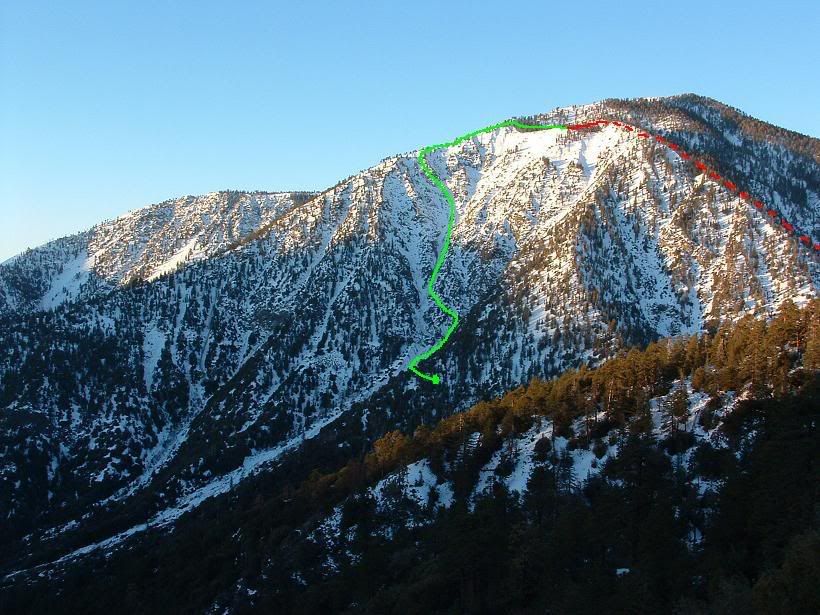
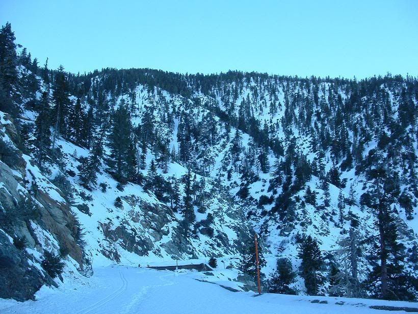
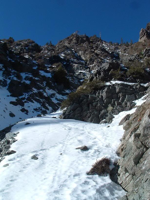
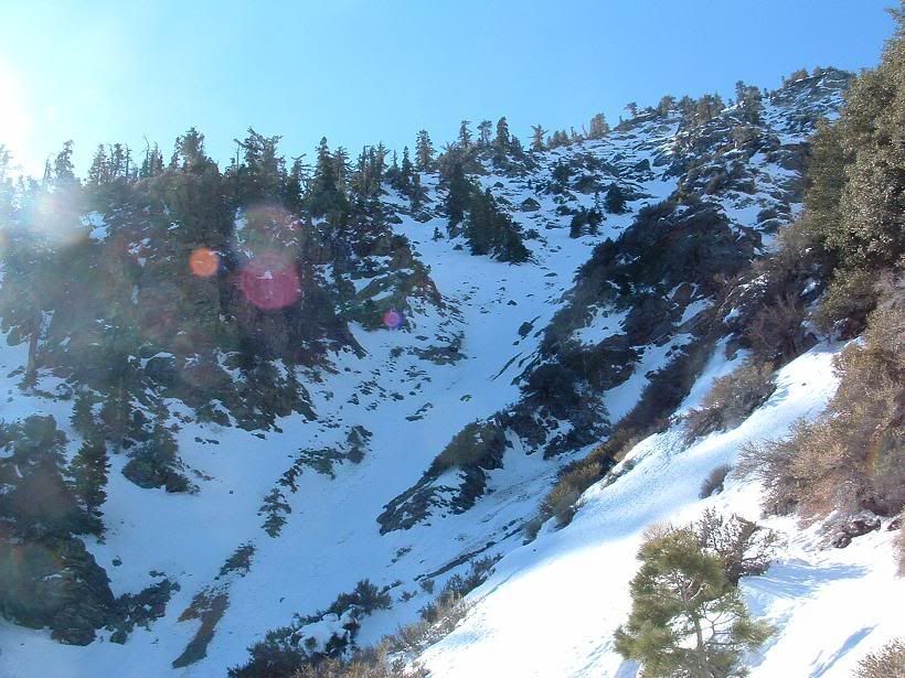
Whammo, our route.
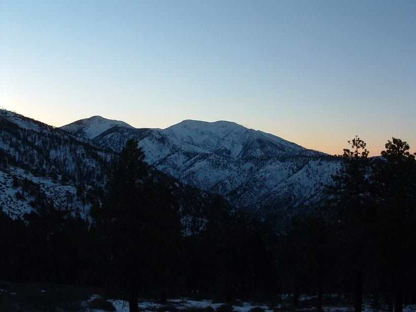
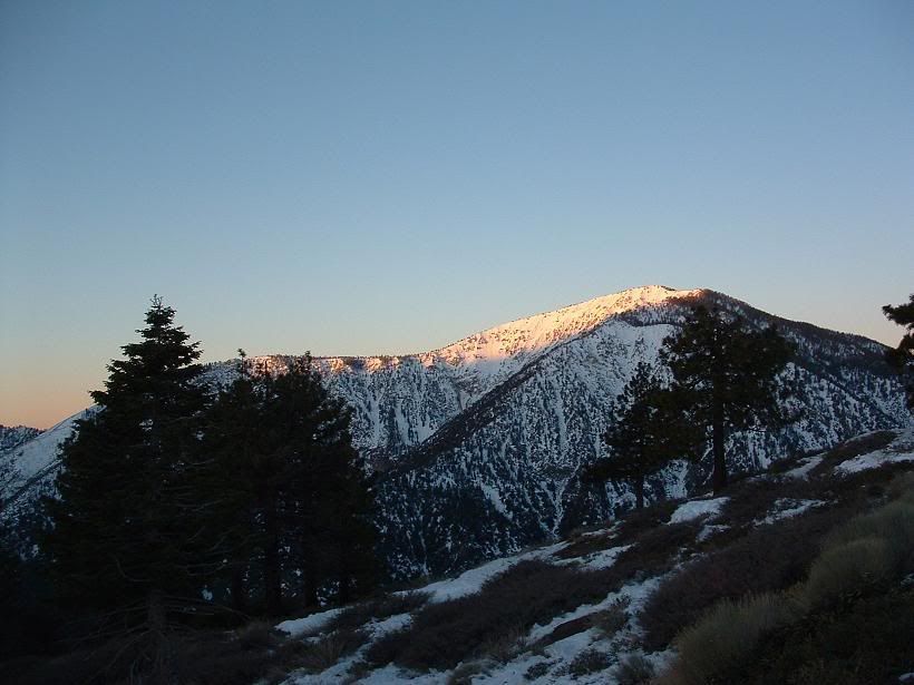
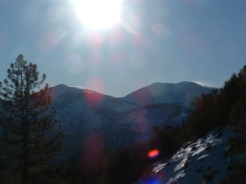
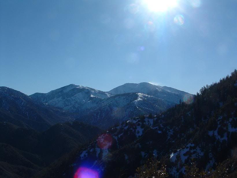
Sunrise
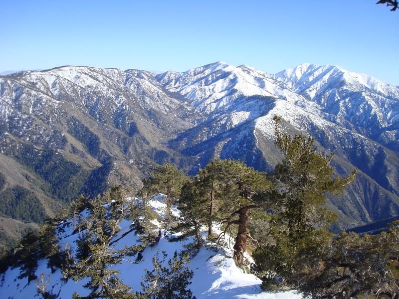
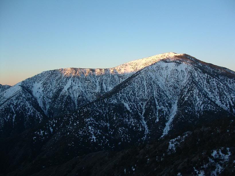
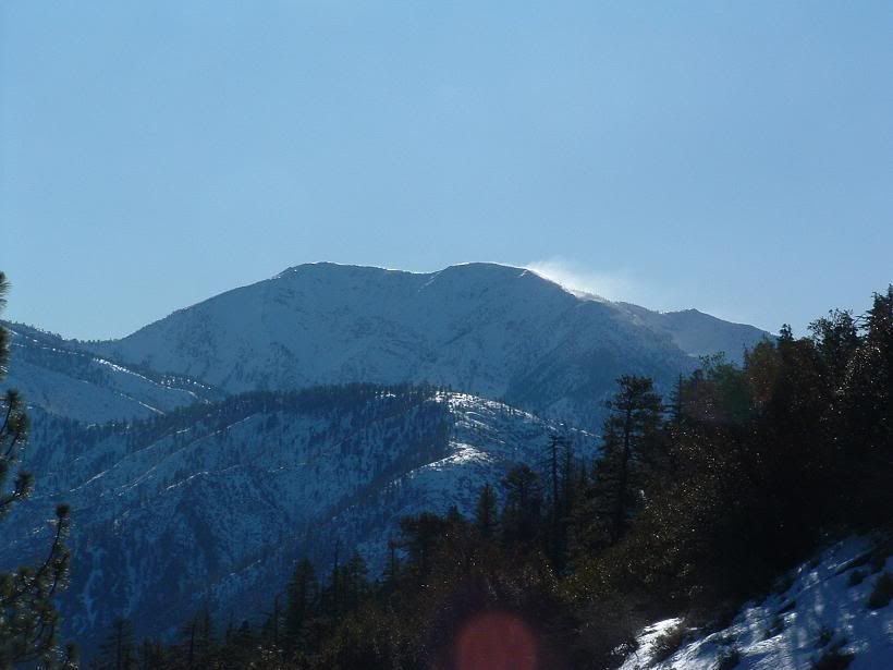
Iron Mountain
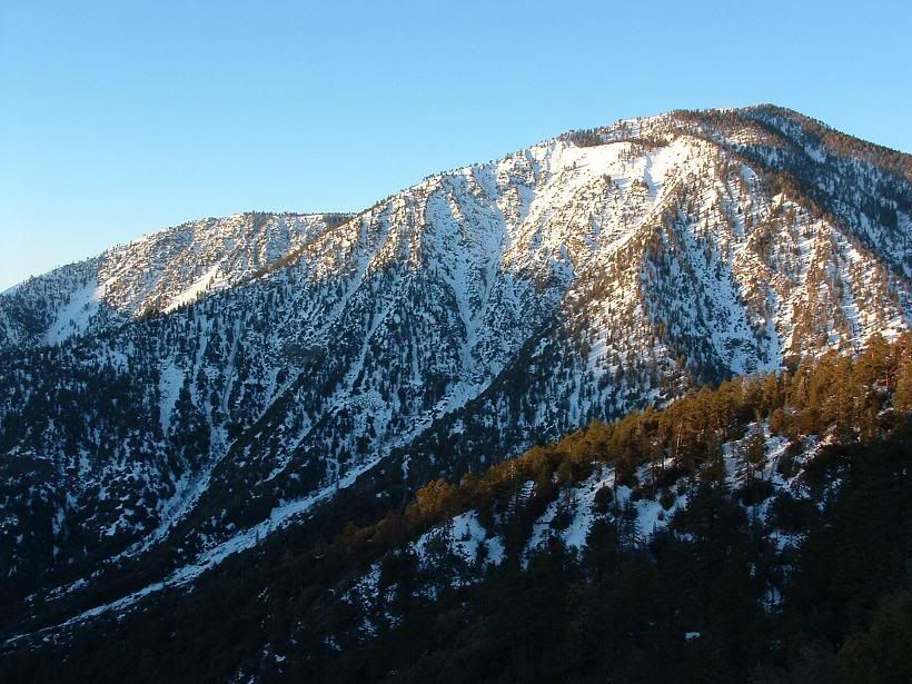
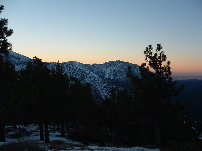
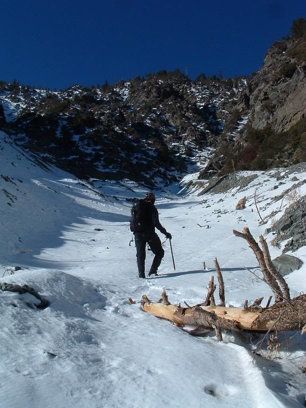
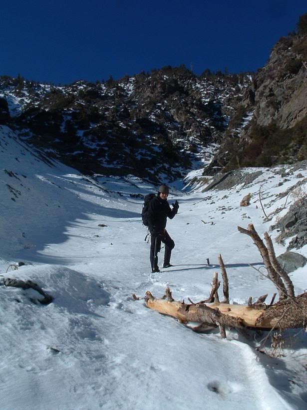
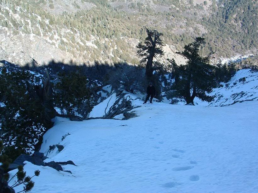
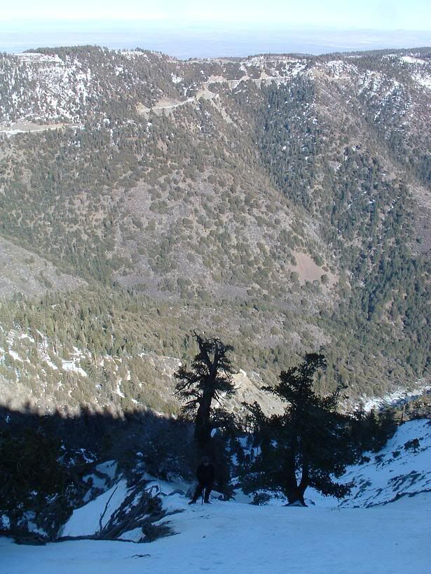
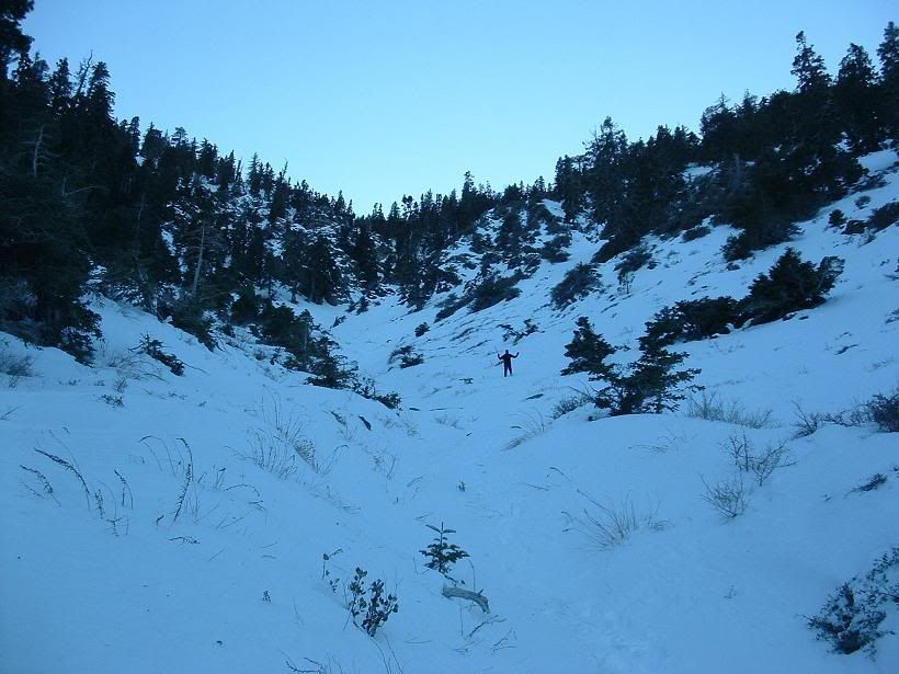
Looking at our route
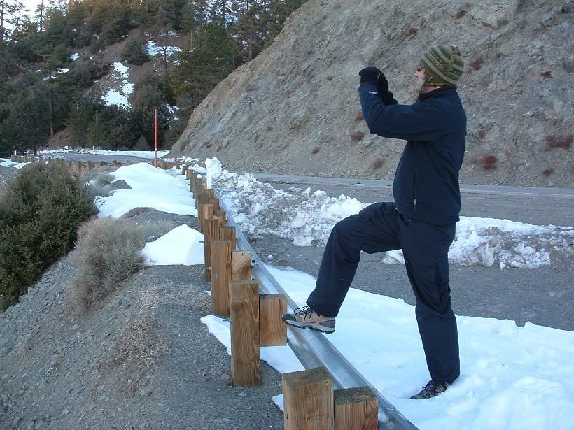
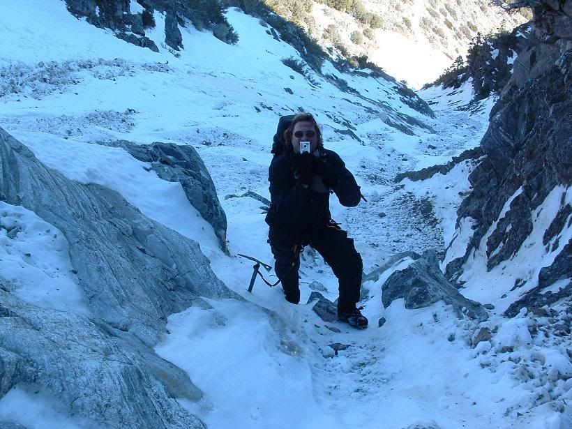
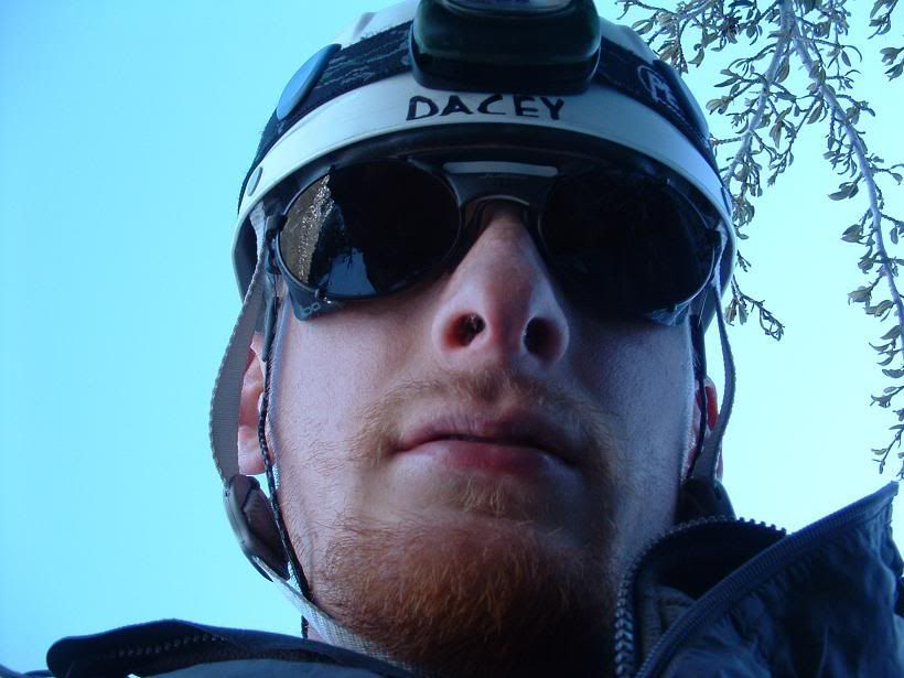
Fritz
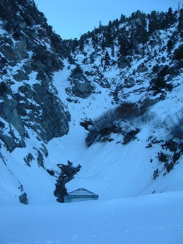
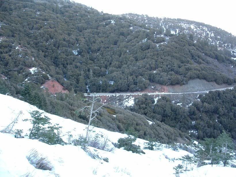
Some pics, recon of the north side, as that was our intended route, but we decided to go to the NE side instead after walking back to the truck.
Got wind?

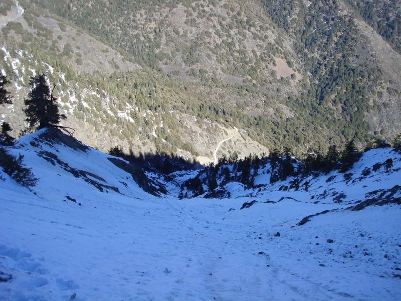
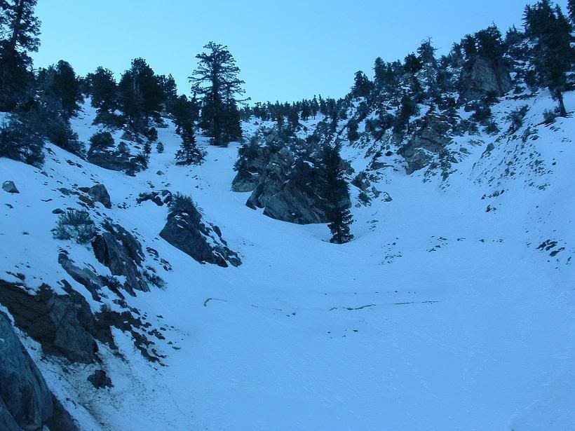
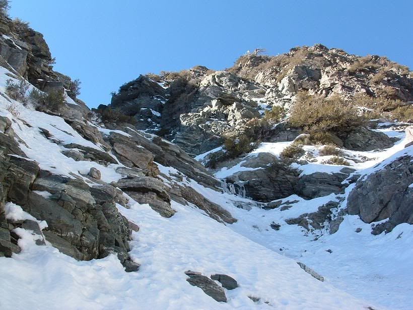
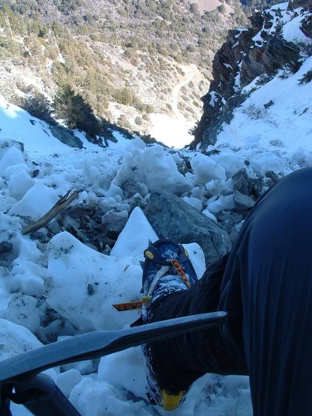
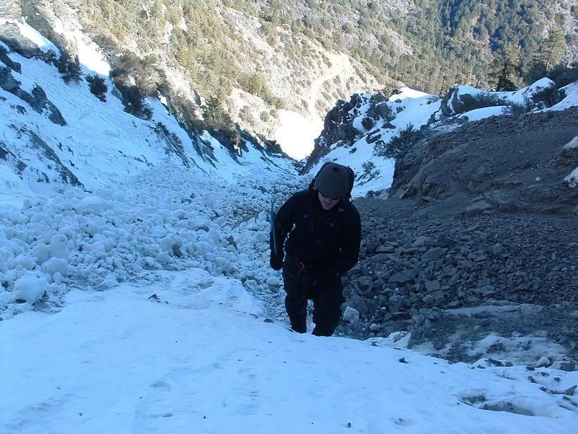
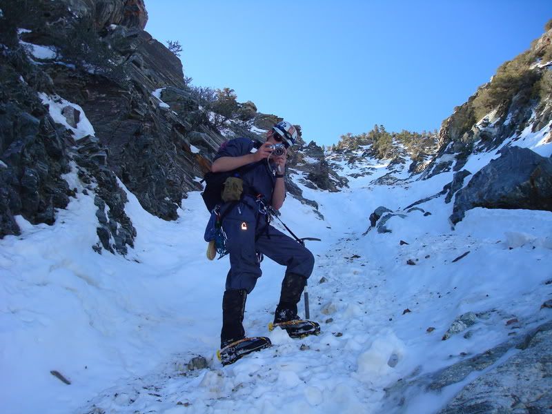
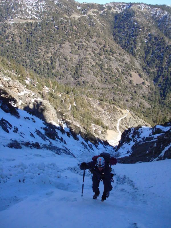
Base of the route, looking up
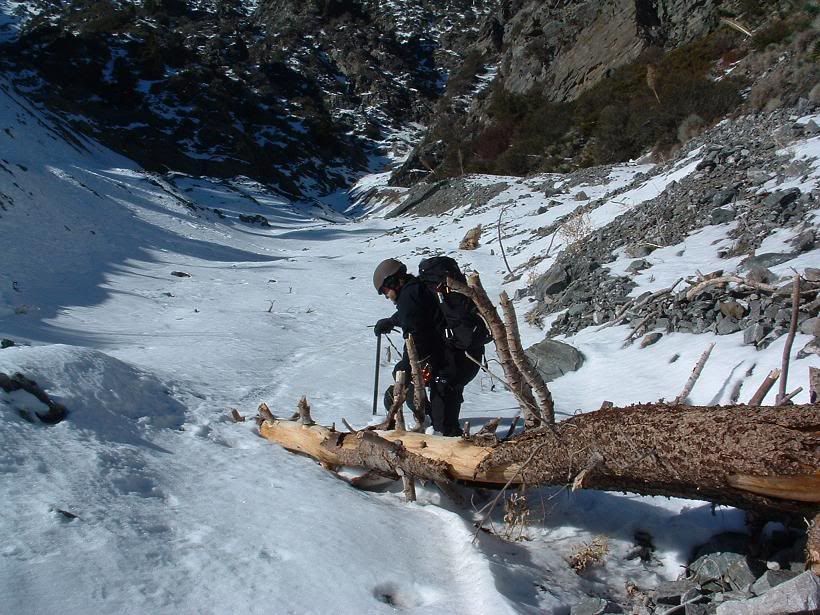
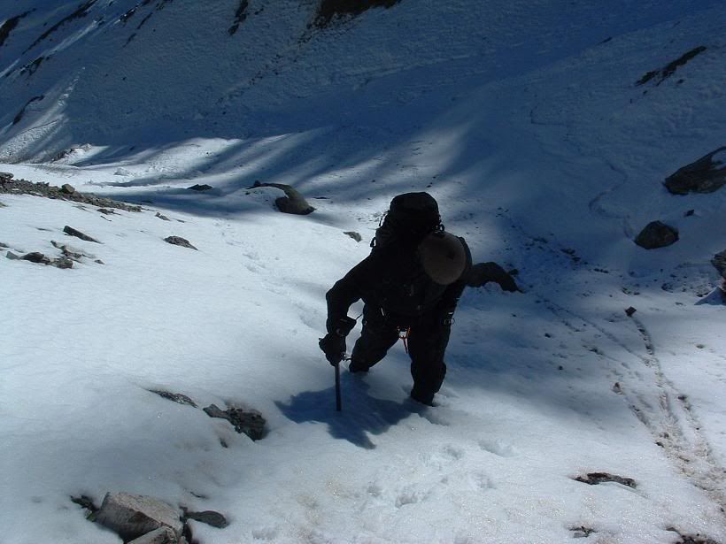
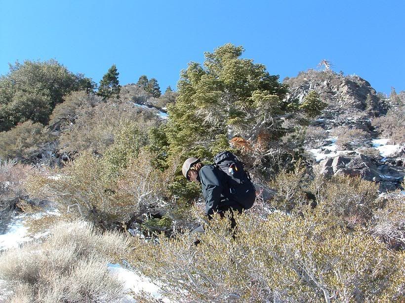
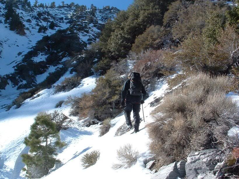
Fritz moving up
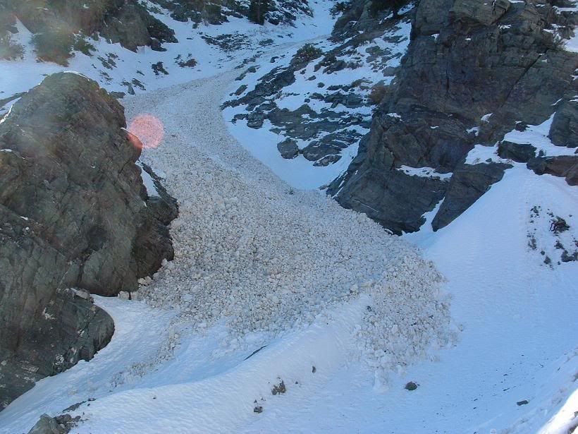
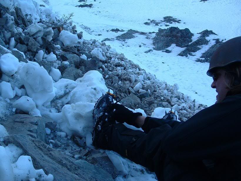
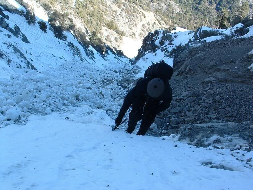
Neato avy debris that was hard and easy to walk on, but offered little for axe spikes to hold onto.
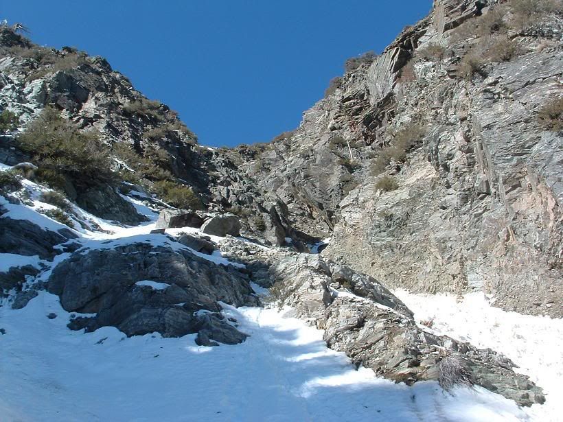
Our turn from the right to the left couloir.
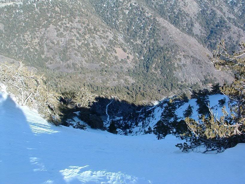
Looking down
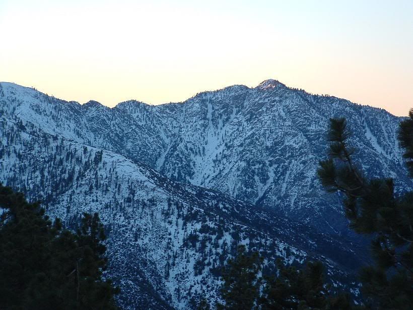
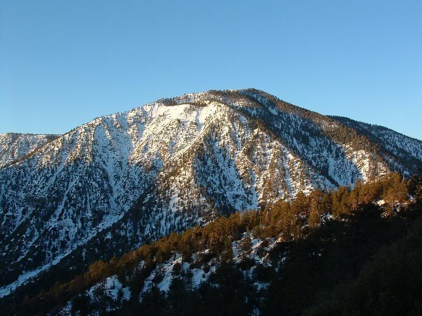
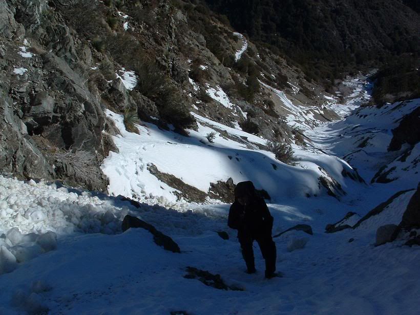
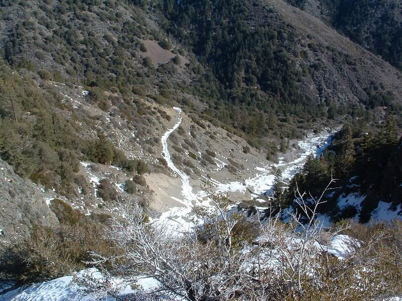
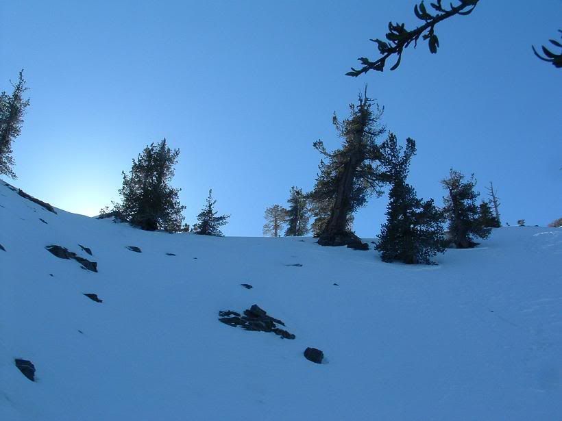
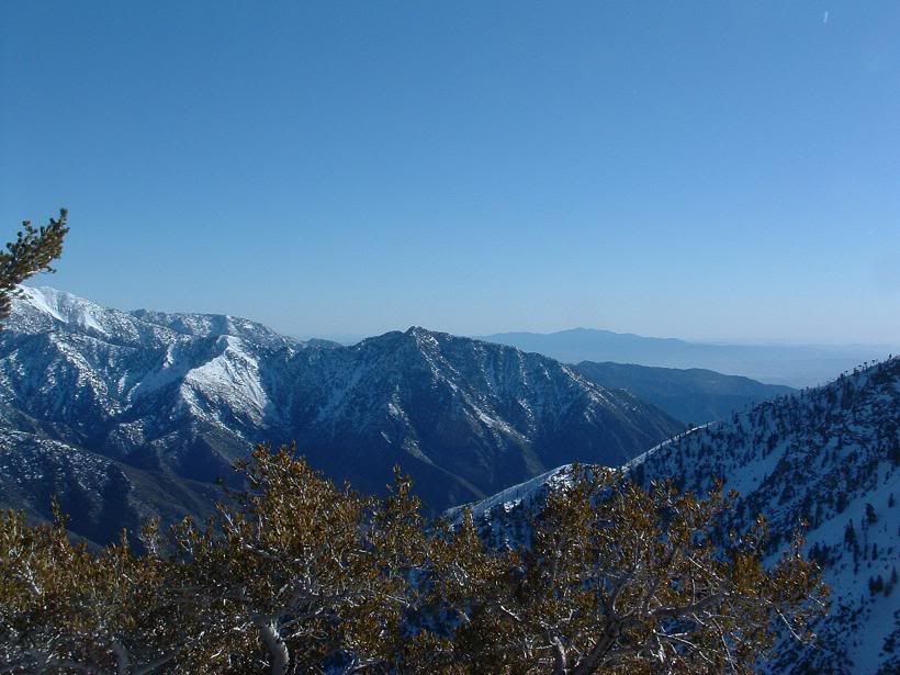
Scenery
Fritz taking a picture of me taking a picture of Fritz taking a picture of me taking a picture of Fritz taking a picture of me taking a picture of Fritz taking a picture of me taking a picture of Fritz taking a picture of me taking a picture of Fritz.
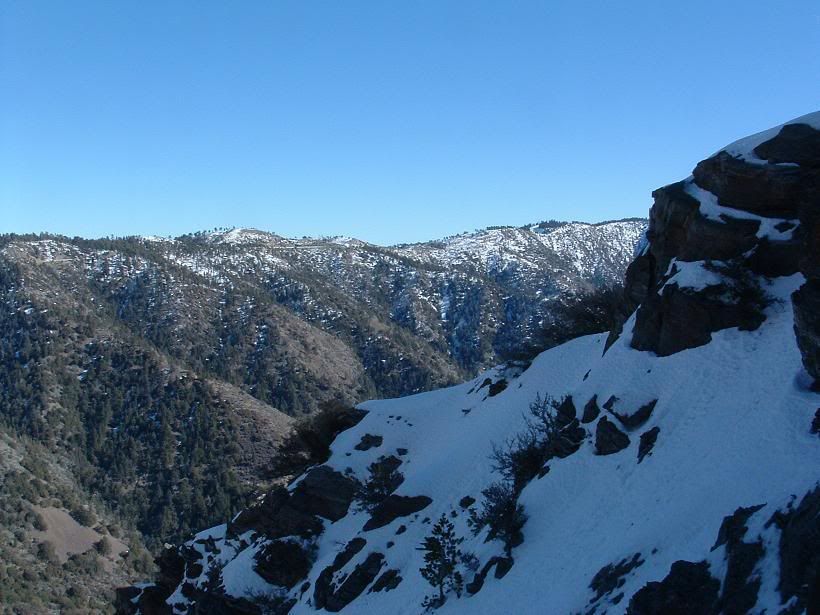
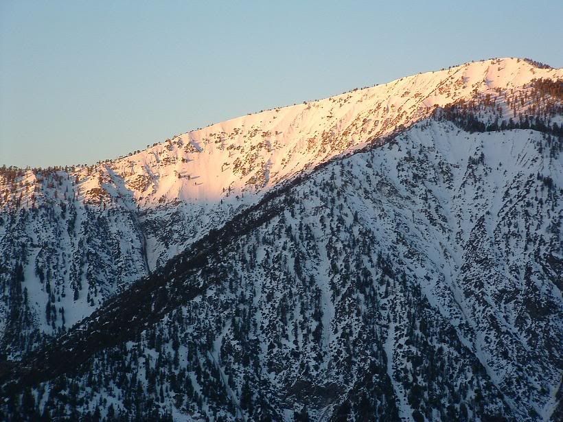
More scenery
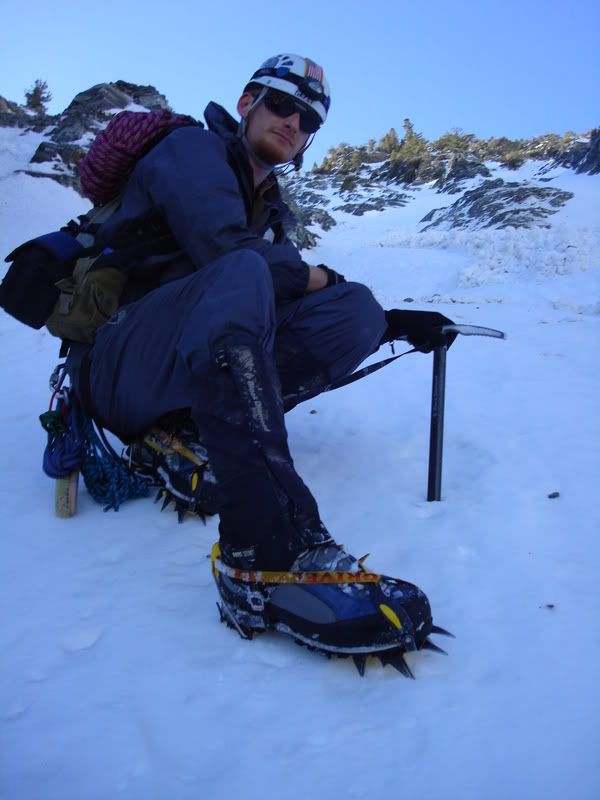
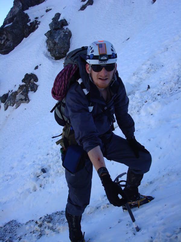
Fritz tightening up his crampons
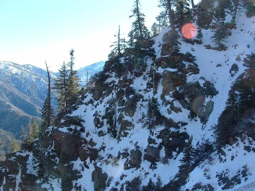
Looking out
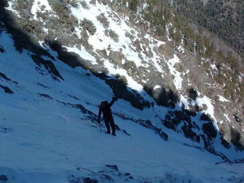
Piolet Traction
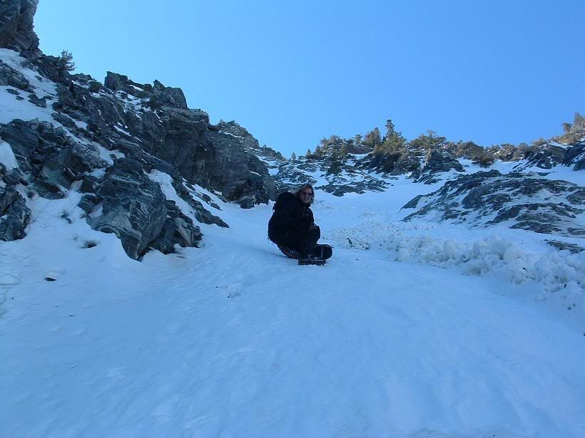

French style rest
In the eye of the storm
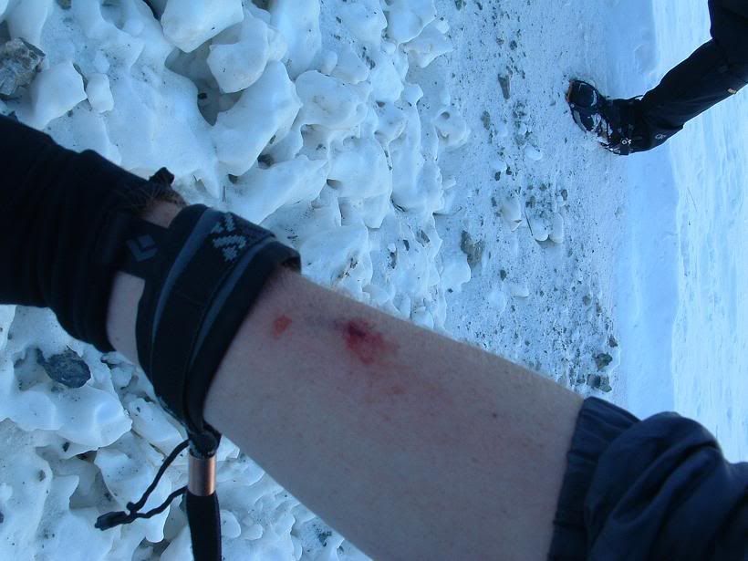
Got hit by lightning. Big old black rock. Heard it coming, called it out, and it just had to hit me in the arm. Nothing broke, just a little blood, and some minor swelling. hit my wrist and hand as well. All is well now. Hurt like hell when it happened. Moved FAST down that thing! not cool. Need ninja arm protectors.
Picture of me after getting hit and feeling crappy.
Topping out
Scenery, looking at somehting I'd like to try on Iron Mountian... hmmmm...
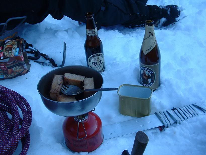
Fud. *awaits comments on beverages*
Easy ski chute down to the parking lot area
We did not summit. I know there are some folks out there who say that if you don't reach the summit, you didn't climb the mountain. If that's so, I guess I played XBOX 360 all day long and must've had an out of body experience where I was climbing the side of Baden Powell. Sure was a realistic dream.
This route kicked ass. The ice in the couloir really refreshed me, and got my spirits back up after having bad luck and crap conditions for so long. It wasn't the pure water ice or anything super nice like you see in lotsa photos from around the world, but it was fantastic, and allowed one to ascend with French Technique (flatfooting) like a dream (in most places). Used Pied Troisome on steeper stuff (Third position, 3-o'-clock position, American technique, IE one foot frontpointing or heading uphill and one flat perpendicular to the slope).
Had a great time! Again, Fritz, thanks for coming along, and I'm sorry it kinda sucked in a way!


 Souvenir!