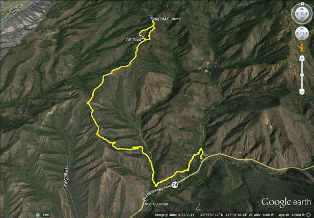
I tried to plot a route close to the one suggested in the NGS survey. The route involved passing through Caspers Wilderness Park, a short section of Starr Ranch Audubon bird sanctuary, then back into Cleveland National Forest. I paid the $3 entry fee for Caspers but entered at the northern border (discouraged). The Audubon section is less than a half mile on a dirt road, which I think is OK as long as you stay on trail. There is a 0.6 mile section of cross country in Cleveland National Forest to finally get to it. A shorter route would leave the Los Pinos ridge trail and cross Cold Spring Canyon in a very steep, poison oak filled area.
A short distance down the trail, we ran into several mule deer. Before we got to Cold Springs Trail junction, we saw a lone stag cross the road, but it bounded away before I got a photo. We ran into another group of mule deer on Cold Springs Trail.
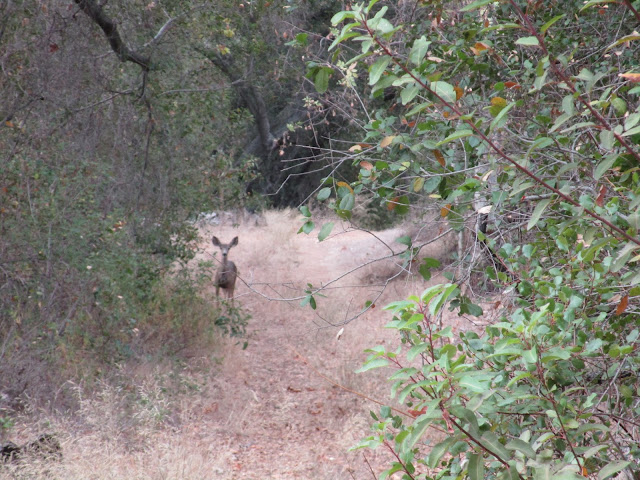
One of several mule deer, we saw two groups and one stag
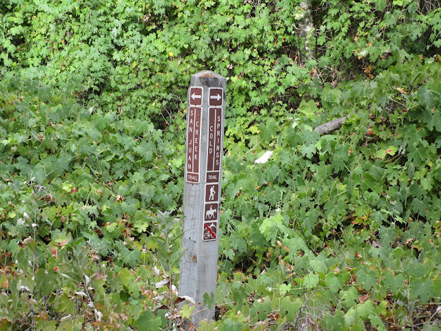
Junction with Cold Springs Trail
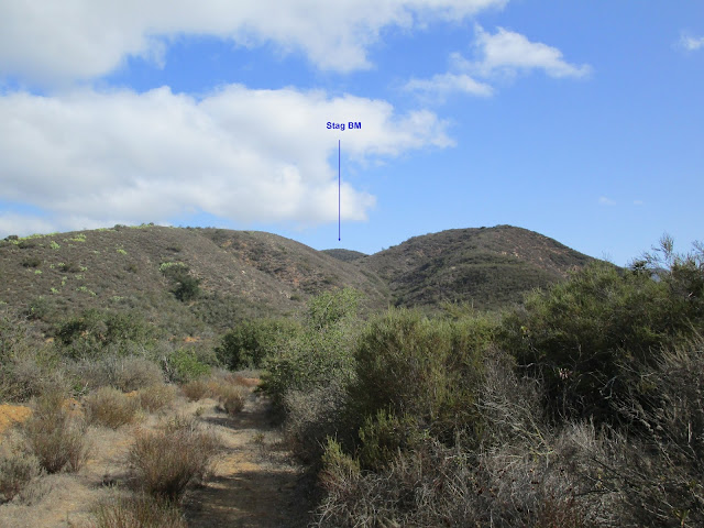
First glimpse of Stag
Before leaving the trail for the 0.6 mile one-way thrash, I stopped to put on gaiters to reduce the damage to my legs. There were reasonably good animal trails heading up the first bump, down to a saddle, and up to the second bump (peak 2213). Near the top of the second bump, we found an overgrown firebreak and followed that down to the saddle with Stag. We ended up breaking a pair of clippers on a thick branch. To continue, we bashed through some heavy brush until we found the remains of the firebreak, very overgrown. The rest of the way was light to moderate bushwhacking. We were not able to locate the benchmark or reference marks, but we got to the high point and left a register. There were several wood rat nests on and around Stag, including one at the summit. I hope the rats don't take the register. If anyone ventures out there and finds the benchmark, please let me know.
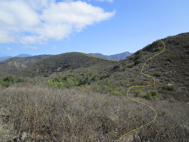
Light to moderate bushwhacking most of the way
Brush got heavier from the saddle up to Stag
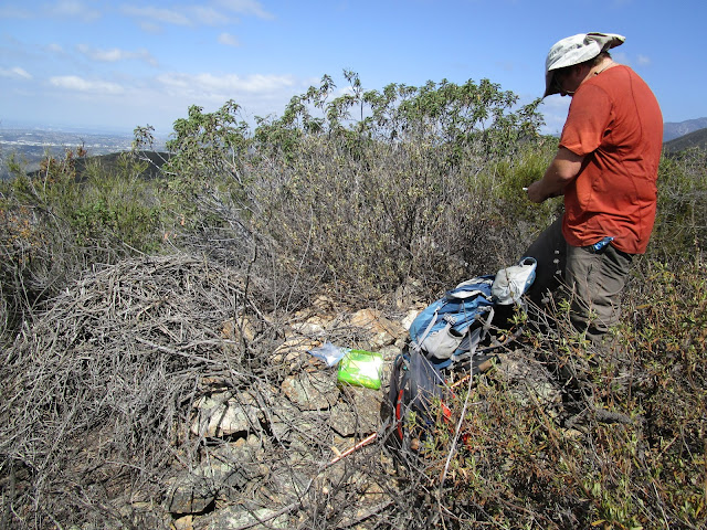
Summit with a wood rat nest right at the top
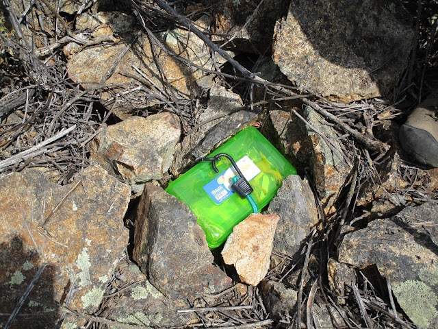
The register final resting spot
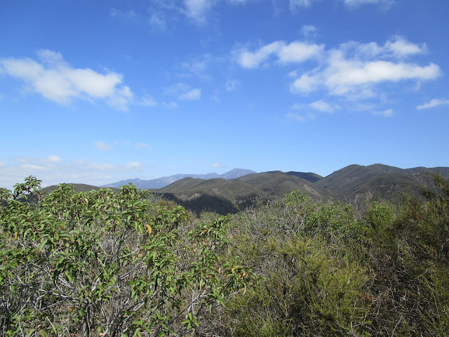
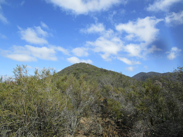
Santiago Peak far away in the distance