Arrowhead Peak: Wild and Lonely

Archived TRs for ranges in California.
Post Reply
User avatar
tekewin
Posts: 1194
Joined: Thu Apr 11, 2013 5:07 pm

Post by tekewin »

Arrowhead Peak is #24 on the Lower Peaks list. The mountain sports a granitic structure on the south face that looks like a purposely engineered arrowhead, but is in fact natural, perhaps inspiring the name for the lake and village. The official LPC guide mentions the poor condition of the unmaintained trail. Nature has reclaimed most of the old Jeep trail descending from the north along highway 18. I came armored and recommend long pants, gaiters, long sleeved base, long sleeved jacket, and heavy gloves. Navigation is difficult and requires finding your way through a hedge maze of spiky buckthorn and chaparral. Fortunately, I didn't notice any poison oak.

Image
The giant granite arrowhead on the south face of Arrowhead Peak. The summit is out of view to the left.

Image
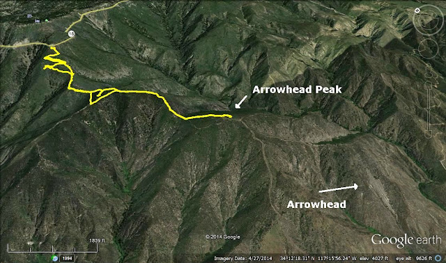
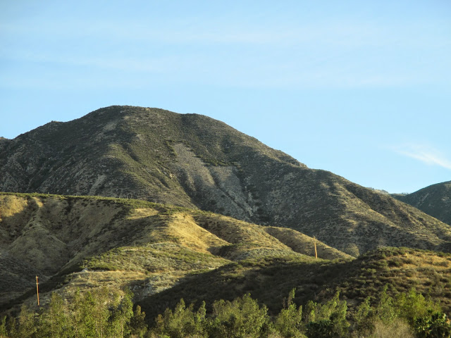
Arrowhead Peak (far summit) from the turnout on hwy 18

Image
Trail goes straight into the buckthorn

Image
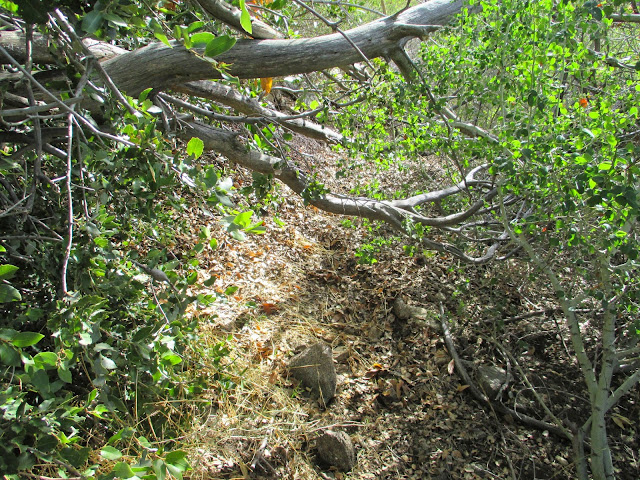
A couple of places required crawling

Image
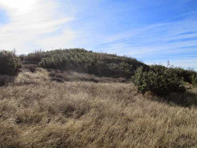
Brush gets lighter near the second saddle. Approaching the summit, clear path on the left (east)

About 30' from the summit rock pile, the use trail takes a sharp right. To find the triangulation benchmark, take a sharp left at that point and go about 20'. I cleared some of the encroaching brush around the benchmark. The register is in the rock pile. It is a small book that goes back to 2002 and remains only half full. The previous visitor to Arrowhead Peak was 9 months ago in February, 2014. This is a very wild and lonely peak. I found the entries from Patrick O'Neill and Bob Burd. Conspicuously missing from the register was Mars Bonfire. Such a lonely peak. The single baggie protecting the register had a hole in it, so I wrapped it in a second baggie. I highly recommend going on a clear day because the views in all directions were beautiful. To the west are the Gabes, to the south, the Santa Anas, and to the east, the San Berdoos and San Jack. The route finding problems and bushwhack were great fun. The only negative was that I came back with two ticks. I got them before they made a meal out of me. November through January are probably the best months to climb Arrowhead Peak. Spring and summer probably dish out more ticks, flying insects, thicker buckthorn, and heat.

Image
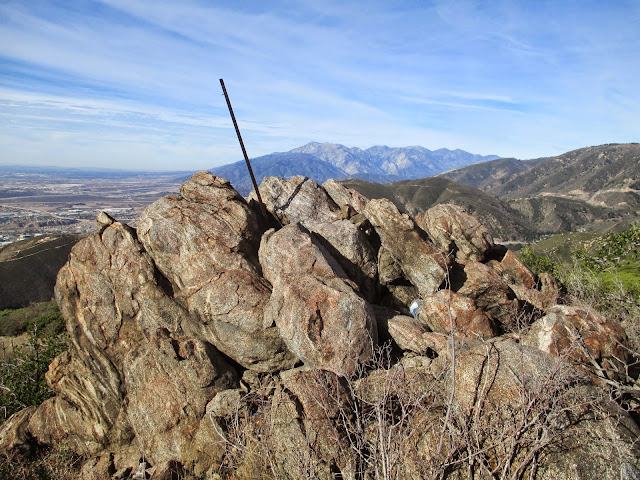
Arrowhead Peak summit rock pile

Image
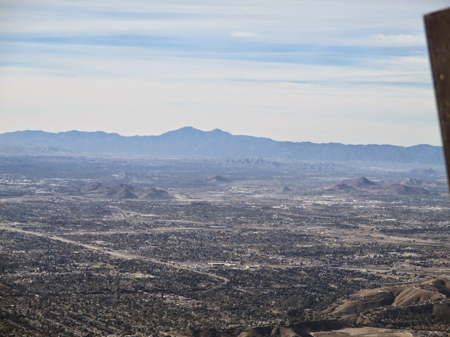
San Gabriel mountains to the west. I like this angle.

Image
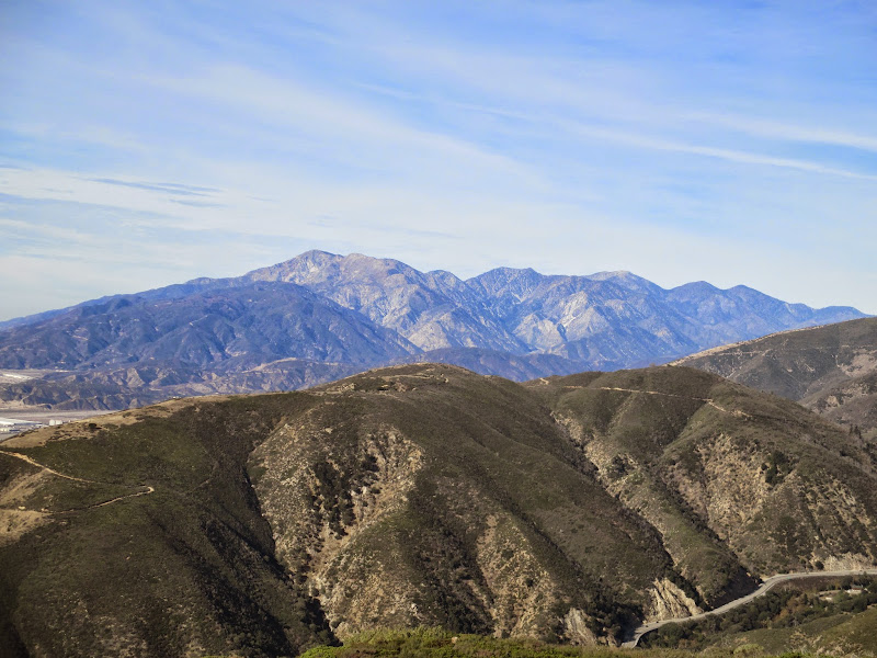
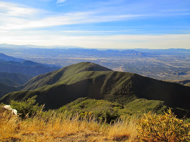
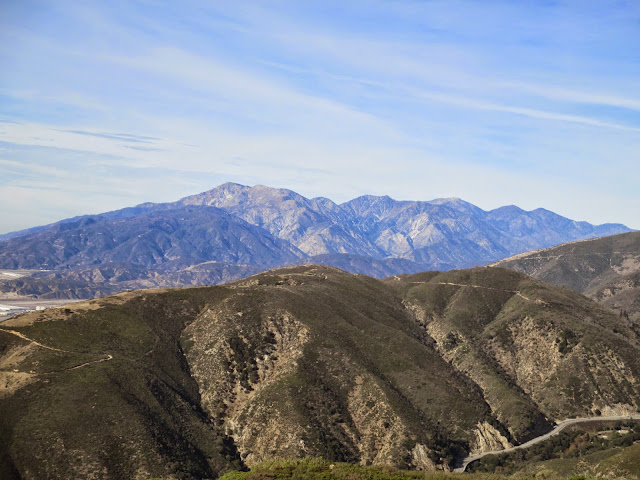
Harrison Mountain (front), San Bernardino Mountains (left), and San Jacinto (distant right)

Image
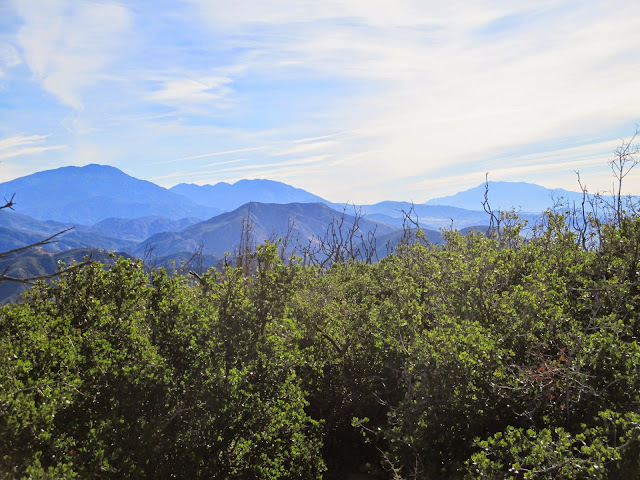
Saddleback and Santa Ana mountains to the south

Image
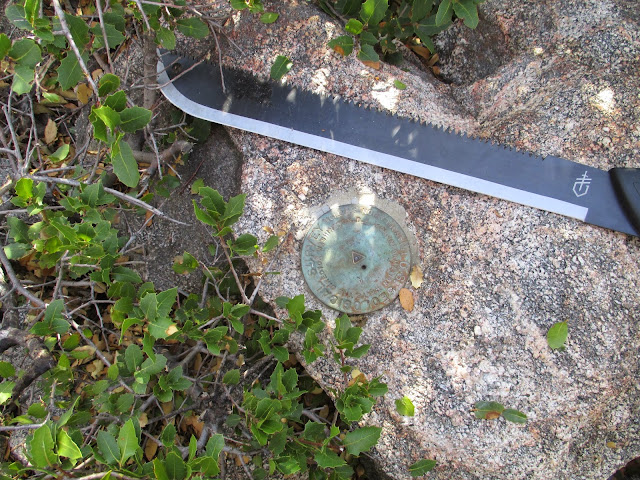
Arrowhead benchmark, about 50' away from the summit rock pile

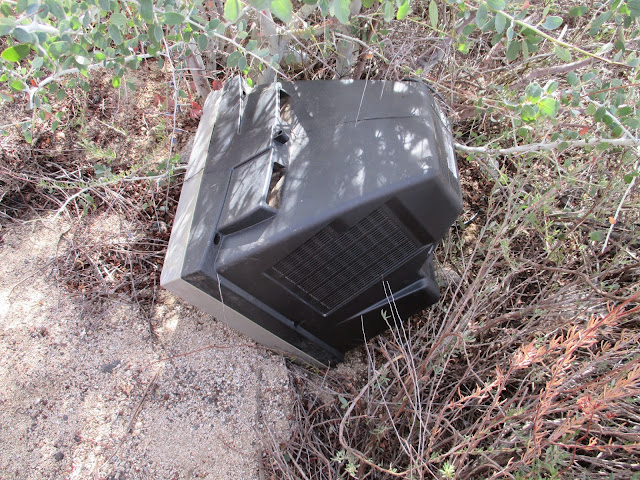
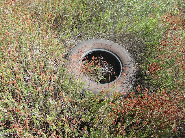
If you want to do some early Black Friday shopping, there is a nice selection just below the trailhead and the turnout on highway 18...

Image

Image

Image
User avatar
Uncle Rico
Posts: 1401
Joined: Thu Mar 20, 2008 7:48 pm

Post by Uncle Rico »

Looks fun in a demented sort of way teke. Nice images! New camera?
User avatar
tekewin
Posts: 1194
Joined: Thu Apr 11, 2013 5:07 pm

Post by tekewin »

Rico,

After the camera dried out, it started working again, so same camera. The GoPro won't charge, won't turn on, I think it is dead unless I can find some magic Youtube fix.
User avatar
Hikin_Jim
Posts: 4686
Joined: Thu Sep 27, 2007 9:04 pm

Post by Hikin_Jim »

Interesting peak, and I like that angle on the San Gabs too.

Image

I believe that the highest peak on the left must be Cucamonga and that the more brownish looking peak in front of it and slightly to the right must be Etiwanda, yes?

And then the rounded, quite a bit lower peak, to the right must be Timber. The peak to the right has to be Telegraph. Notice how it has two summits on a nearly level ridgeline, the right hand of which is higher.

The next peak on the skyline a bit further right is Baldy, followed by Dawson and Pine.

I don't think we can see Thunder or at least it doesn't stand out.

HJ
Post Reply