Weather was nice and mild, and the skies were perfectly clear. Forecast for the night had a low of 20 degrees though, so we packed a ton of layers (managed to keep my pack weight down to approximately 500lbs, I'm getting better at this). The trail starts out pretty steep, especially noticeable with a full pack, but quickly levels out and the views keep you sufficiently distracted.
Mineral King Valley from Early on the Sawtooth Trail
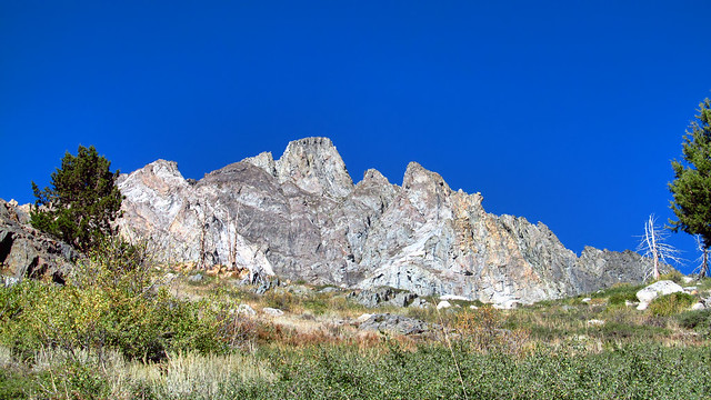
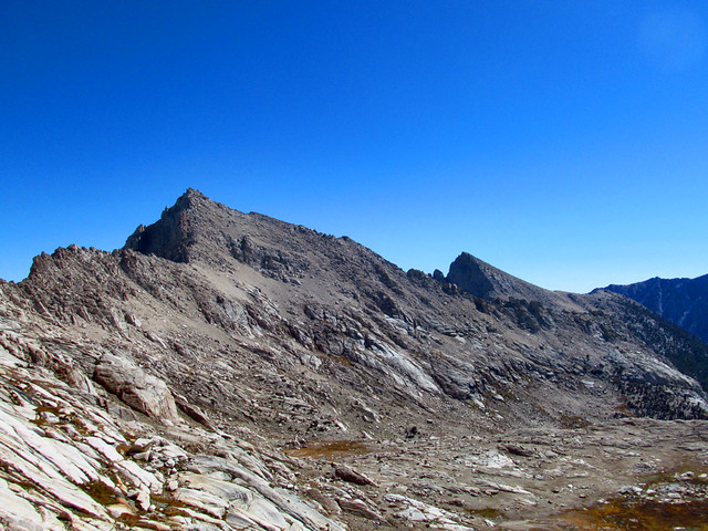
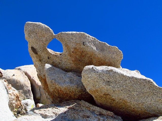
Empire Mountain Outcroppings
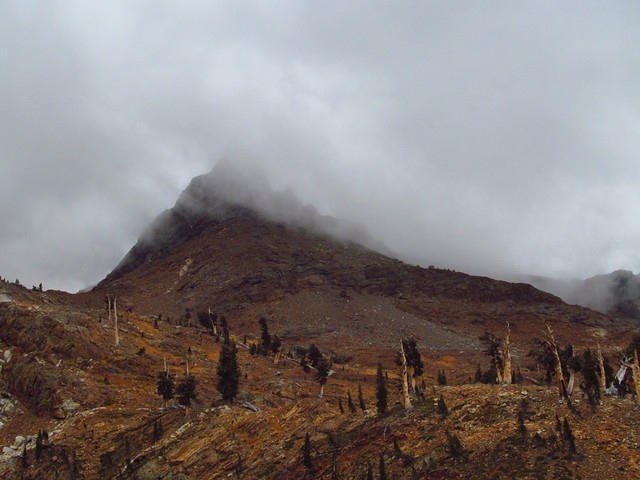
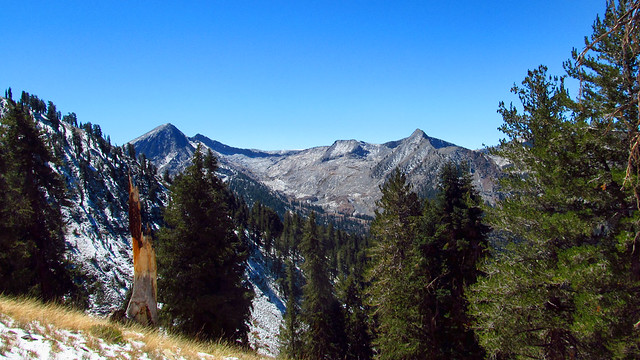
Sawtooth Peak Comes into View
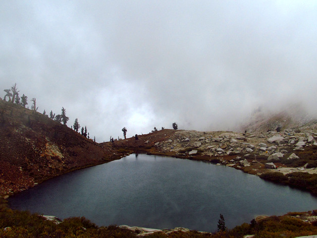
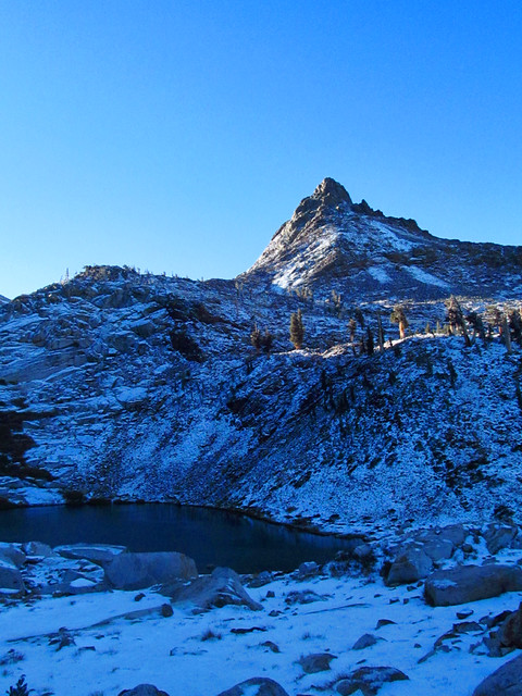
After a couple hours, we reached Lower Monarch Lake, our basecamp for the trip. From here, I drew up several options. The lakes over Sawtooth Pass, Empire Mountain from Glacier Pass, a fun scramble up nearby Mineral Peak, and Sawtooth Peak itself being our main goal.
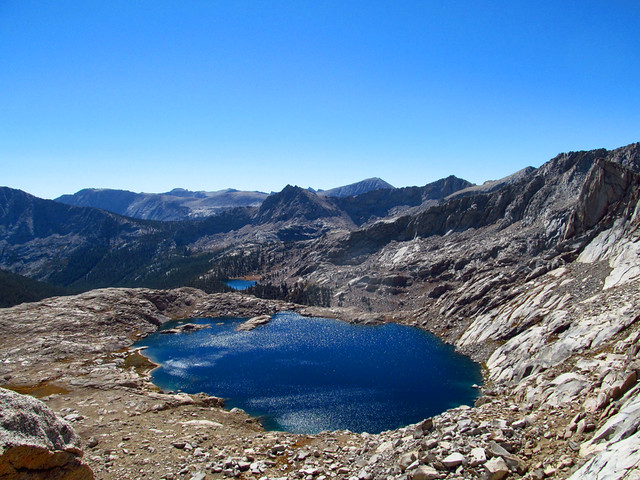
Lower Monarch Lake
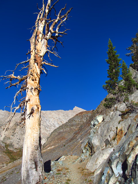
Room with a View
Ended up having the whole place to ourselves Friday night. We set up camp, cooked dinner, and enjoyed the sunset. I got up periodically throughout the night to enjoy the almost-full moon illuminated landscape. Temps dropped to just a hair below 30. Not bad at all.
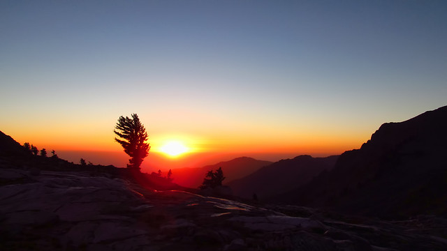
Sunset in the Western Sierra
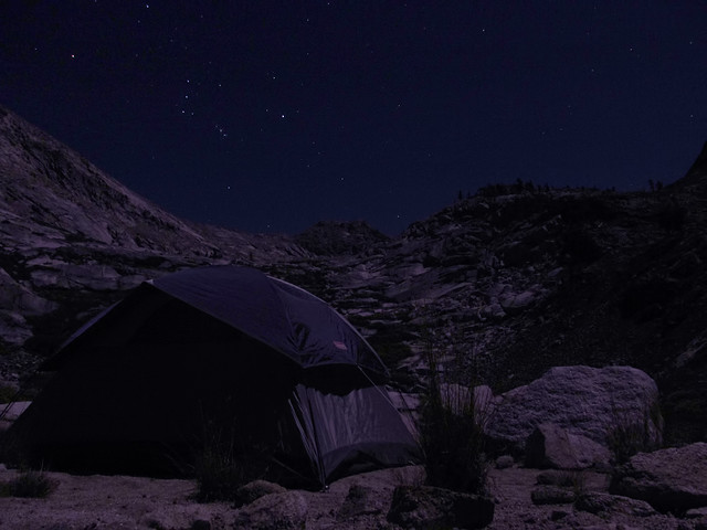
Orion Rising over the Crest
Given that Sawtooth was our primary goal, we decided first thing Saturday morning we'd give it a shot (this ended up being a good idea). We opted for the south ridge approach, intending to descend the standard ridge route from Sawtooth Pass.
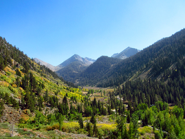
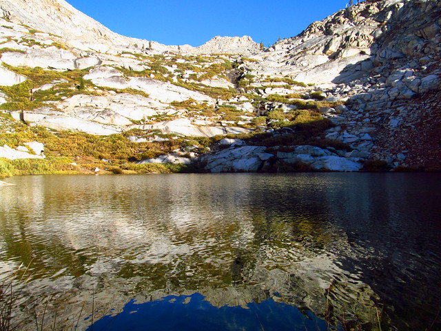
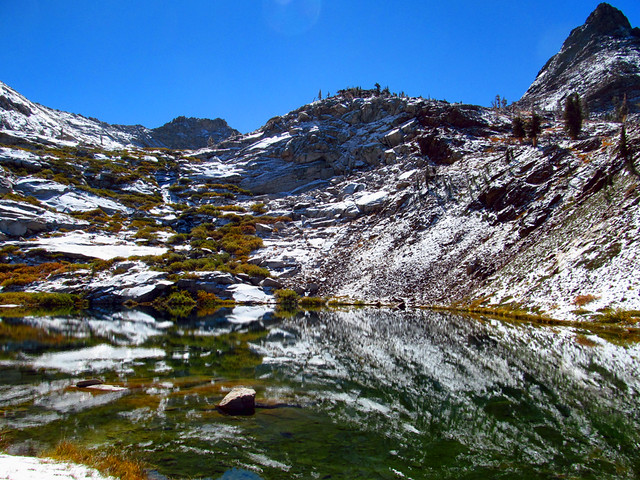
The maintained trail ends at Lower Monarch, and a decent use trail leads you up to Upper Monarch Lake. From there, you're on your own with nothing but slabs, sand, and huge boulders. Upper Monarch is about as scenic as these High Sierra lakes get, perfectly clear water, sandy beaches, and surrounded by towering peaks and crags.
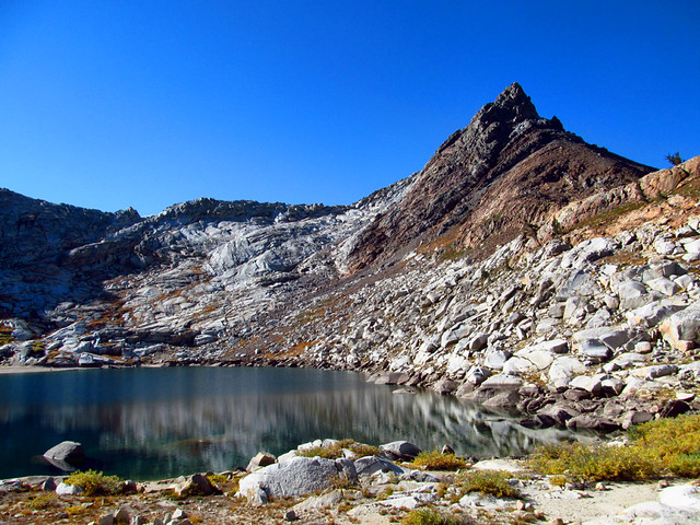
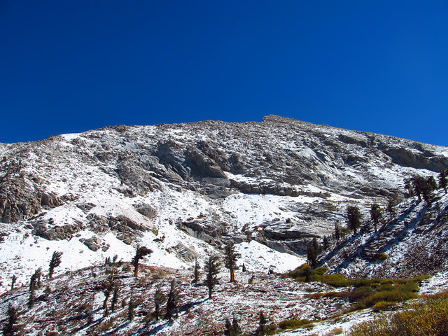
Mineral Peak above Upper Monarch Lake
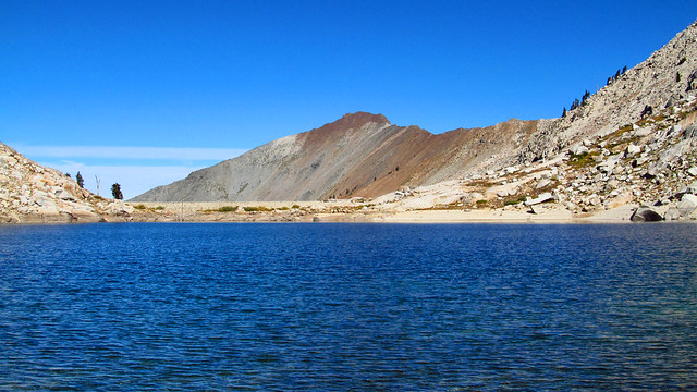
South Shore of Upper Monarch
After a completely unnecessary break at the lake, we continued south up some slabs until they opened up to head east up to the saddle between Sawtooth and the unnamed peak south of it. (In Secor's book, this is the Walter Starr variation). The rock on this stretch is extremely solid and reliable, and you can use it most of the way to avoid the soul-sucking sand. Nothing more than Class 2 scrambling up to this point. Steep and fun.
Once you reach the saddle, incredible views open up over Amphitheater Lake and Needham Mountain.
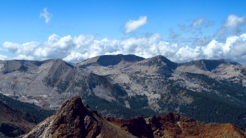
Needham Mountain
Amphitheater Lake and Beyond
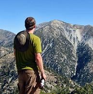
From here, you're past the slabs and you head directly up the south ridge. Again, nothing exceeding Class 2 with maybe one or two extremely easy Class 3 moves. Views also open up to the east over the entire Sierra Crest.
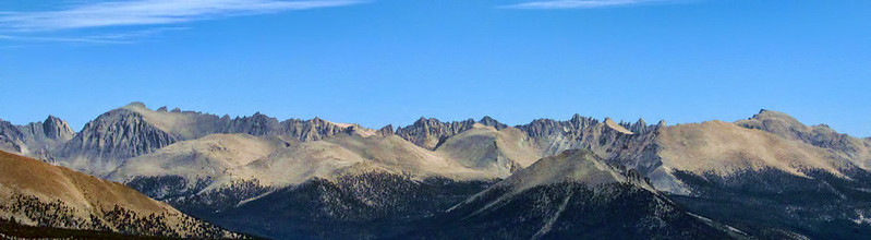
The Sierra Crest (Whitney on the left, Langley far right)
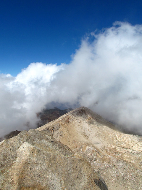
More of the same up the ridge as you approach the summit push. At this point, we took note of some significant cloud build-up heading our way from the west. Almost every trip report I've read of Sawtooth Peak mentions clouds rolling in. I guess this is standard fare up here.
Something's Brewing
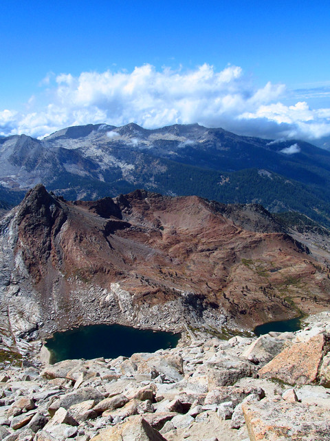
Upper and Lower Monarch Lakes as we near Sawtooth's Summit
Upward we continued, now racing the clouds. The scrambling soon became some of the most enjoyable bouldering I've ever done, again easy Class 3. Turns out that race with the clouds would end in a tie, as right when we reached the summit rock (a ridiculously narrow fin-shaped rock with a 1200'+ drop to the NE), the clouds smothered our view of the Kaweahs (something I was REALLY looking forward to
Boulders increase in size as you ascend, leading to some extremely fun climbing. Holds are abundant and extremely obvious, sometimes hilariously so, almost as if they were designed that way
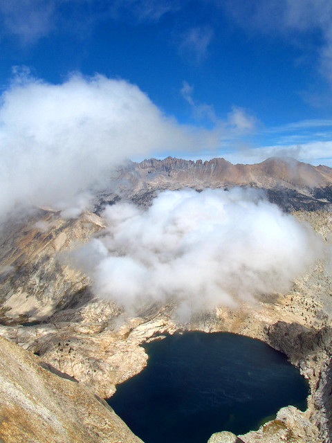
Columbine Lake and the Obscured Kaweahs from Sawtooth's Summit
This is gonna complicate things...
Turns out there is a ridiculous abundance of cairns on Sawtooth and trying to follow them is pointless. We dropped down to the east, hoping to find a path to the ridge. At this point, the clouds limited visibility to about 100 feet or so, and soon we were far below where we should have turned north to join the ridge.
We ended up descending pretty much directly to the ledge between Upper and Lower Monarch Lake. This route is solid Class 3 most of the way, with a handful of Class 4 moves to negotiate some huge outcroppings and minor cliffs. Also, that nice sticky rock we enjoyed earlier in the day sucks over here, as it's covered with a continuous slippery coat of sand and pebbles that want to send you flying into oblivion. Not recommended unless you're comfortable with downclimbing Class 4. No pictures of this part, because my hands were generally wedged between rocks and clinging onto what little holds there were.
(I'd love to go back up earlier in the season and explore this slope more. There are countless routes up and down)
With a sigh of relief, we reached the shores of Upper Monarch Lake before the clouds condensed enough to do anything. It would have been a lot more fun without the clouds rolling in and temperatures plummeting. We had plenty of daylight left, but you never know how quickly these systems will roll in and ruin your day.
Seasons Changing at Lower Monarch Lake
So much for climbing Mineral Peak...
We got back to camp, kicked back and had a bit to eat before the snow came.
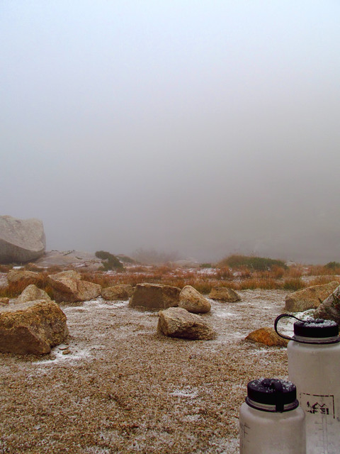
So it begins...
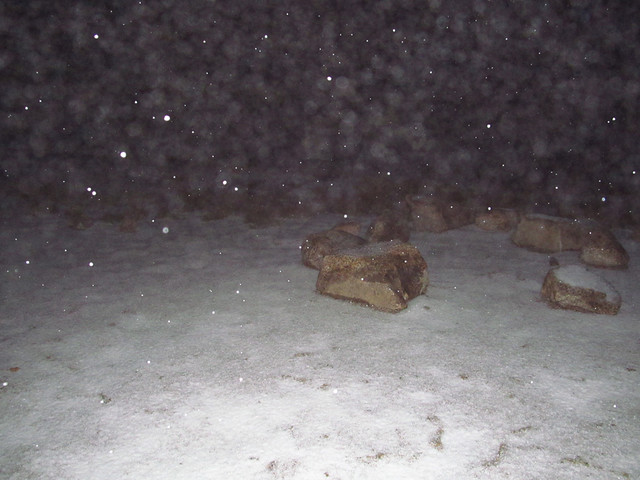
Okay, that was nothing. NOW it's starting!
It snowed steadily for about 13 hours, from 4:00pm until about 5:00am, when, as quickly as it started, the clouds cleared and the entire landscape was changed.
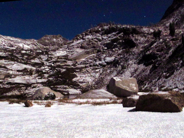
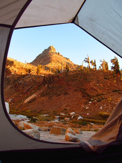
Outside Our Tent at 5:00am, 18-degrees
Good Riddance, Summer
At sunrise, I scouted the route up to Sawtooth Pass and decided that without our spikes, it wouldn't have been a good idea to go up and over to Columbine Lake as we intended. Glacier Pass to Empire Mt, same story.
So with much of our plans rejected, we decided to just relax around the lake and enjoy the first snow storm of the season (with hopefully many, many more to come).
Early afternoon rolled around, we packed up and headed out completely satisfied, and then ate extremely delicious pizza in Three Rivers for even more satisfaction. Pizza is awesome.
Lower Monarch Lake
Somewhere in there is our descent path from the day before... kind of exhibits why we decided to get the hell down quickly and not spend too much time picking the "most fun" way
Mineral King
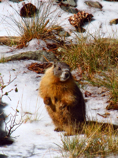
If given a chance, they will eat your radiator hoses. And children.
More pics here:
http://www.flickr.com/photos/wattifoto/ ... 808133886/
Cheers 8)