B2 Bomber Flies Low over Pasadena Sunday Afternoon in Honor of Verne Orr
At Approximately 2:15 Sunday the roar of a B2’s engines could be heard above the Church bells. The unexpected visitor flew over Pasadena numerous times in the course of 20 minutes at points flying at extremely low altitudes.
Some speculated that it was due to Pearl Harbor day.
It was actually a tribute to Verne Orr, former Air Force Secretary.
A B-2 stealth bomber from the 509th Bomber Wing performed a ceremonial flyover Sunday during services for Verne Orr, a former secretary of the U.S. Air Force who died last week at age 92.
Lt. Col. Todd Copeland said the B-2 Spirit bomber from Whiteman Air Force Base in Missouri flew over the First United Methodist Church on East Colorado Boulevard.
Orr was Air Force secretary from 1981 to 85 under Reagan. He restarted the B-1 bomber program and oversaw the inception of the B-2 program.
e
Northrop Grumman is the prime contractor for the US Air Force B-2 Spirit stealth bomber.
The B-2 is a low-observable, strategic, long-range, heavy bomber capable of penetrating sophisticated and dense air-defense shields. It is capable of all-altitude attack missions up to 50,000 ft, with a range of more than 6,000 nm unrefuelled and over 10,000 nm with one refuelling, giving it the ability to fly to any point in the world within hours.
“The B-2 is a low-observable, strategic, long-range, heavy bomber capable of penetrating sophisticated and dense air-defense shields.”
Its distinctive profile comes from the unique ‘flying wing’ construction. The leading edges of the wings are angled at 33° and the trailing edge has a double-W shape. It is manufactured at the Northrop Grumman facilities in Pico Rivera and Palmdale in California.
21 B-2s have been delivered to Whiteman Air Force Base in Missouri, the first in December 1993. In the first three years of service, the operational B-2s achieved a sortie reliability rate of 90%. An assessment published by the USAF showed that two B-2s armed with precision weaponry can do the job of 75 conventional aircraft.
A new transportable hangar system has been developed which allows the B-2 to be deployed to forward locations overseas.
The hangars are 126 ft long, 250 ft wide and 55ft high. The first of these hangars has been erected on Diego Garcia in the Indian Ocean.
Photos by Terry Miller
Thanks to the many readers who filled us in on the facts!
Only a few of us have ever been to "Giligans Island" and the last time I was there was to dump off some JP-7 Aviation Fuel for the SR-71 when it was still being used for "Recon" over the middle east.
Diego Garcia is right by the equator south of India.
It's nice to know folks still go there.
It's an Atoll with not much to offer but some nice Sharks in the water.
I have pictures buried somewhere in my garage. I'll try to find them and scan them and post them.
I use to work for a company in Santa Monica that made the computers that controlled the B-2's flight control actuators. Man, that thing was the most rugged looking 'puter I've ever seen. It probably could have survived a nuclear blast!
Unfortunately the Air Force lost a B-2 earlier this year at Andersen AFB in Guam (1st lost). Moisture in the air data system brought down this $1.4 billion plane. Crash video:
6/6/2008 - LANGLEY AIR FORCE BASE, Va. (AFPN) -- Distorted data introduced by a B-2 Spirit's air data system skewed information entering the bomber's flight control computers ultimately causing the crash of the aircraft on takeoff at Andersen Air Force Base, Guam, Feb. 23, according to an Air Combat Command accident investigation report released June 5.
Moisture in the aircraft's Port Transducer Units during air data calibration distorted the information in the bomber's air data system, causing the flight control computers to calculate an inaccurate airspeed and a negative angle of attack upon takeoff. According to the report, this caused an, "uncommanded 30 degree nose-high pitch-up on takeoff, causing the aircraft to stall and its subsequent crash."
Moisture in the PTUs, inaccurate airspeed, a negative AOA calculation and low altitude/low airspeed are substantially contributing factors in this mishap. Another substantially contributing factor was the ineffective communication of critical information regarding a suggested technique of turning on pitot heat in order to remove moisture from the PTUs prior to performing an air data calibration.
The pilot received minor injuries, and the co-pilot received a spinal compression fracture during ejection. He was treated at Tripler Army Medical Center, Hawaii, and released. The aircraft was assigned to the 509th Bomb Wing at Whiteman Air Force Base, Mo.
The cost of the lost aircraft is about $1.4 billion.
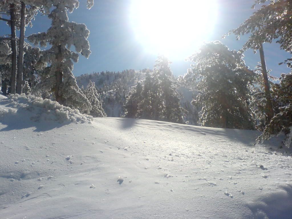
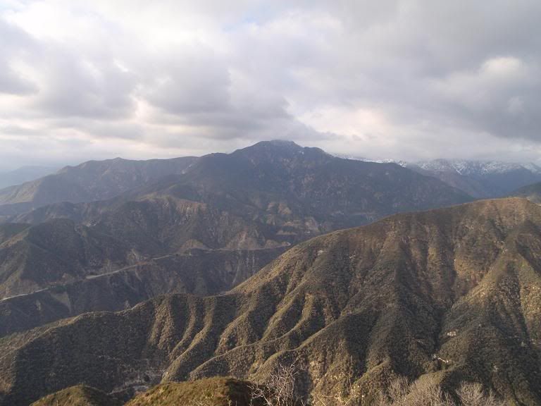
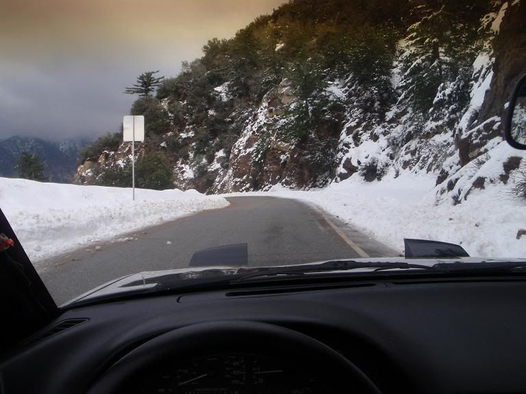
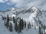
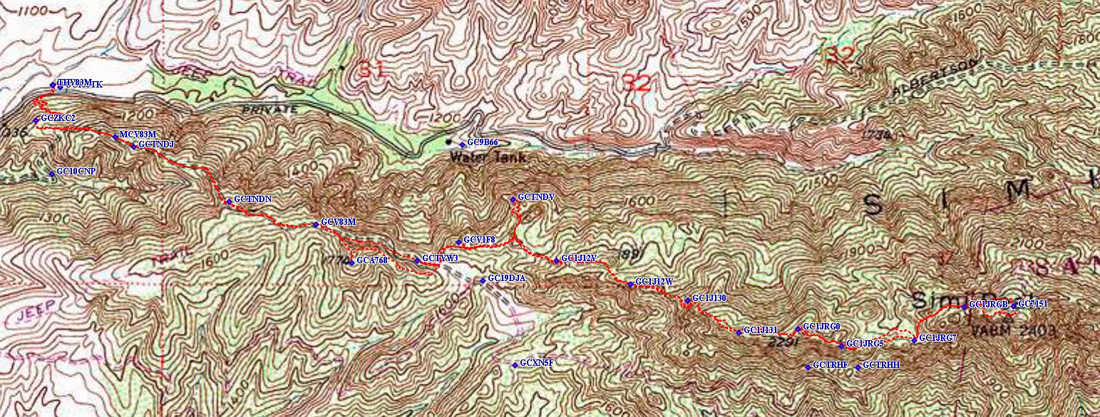
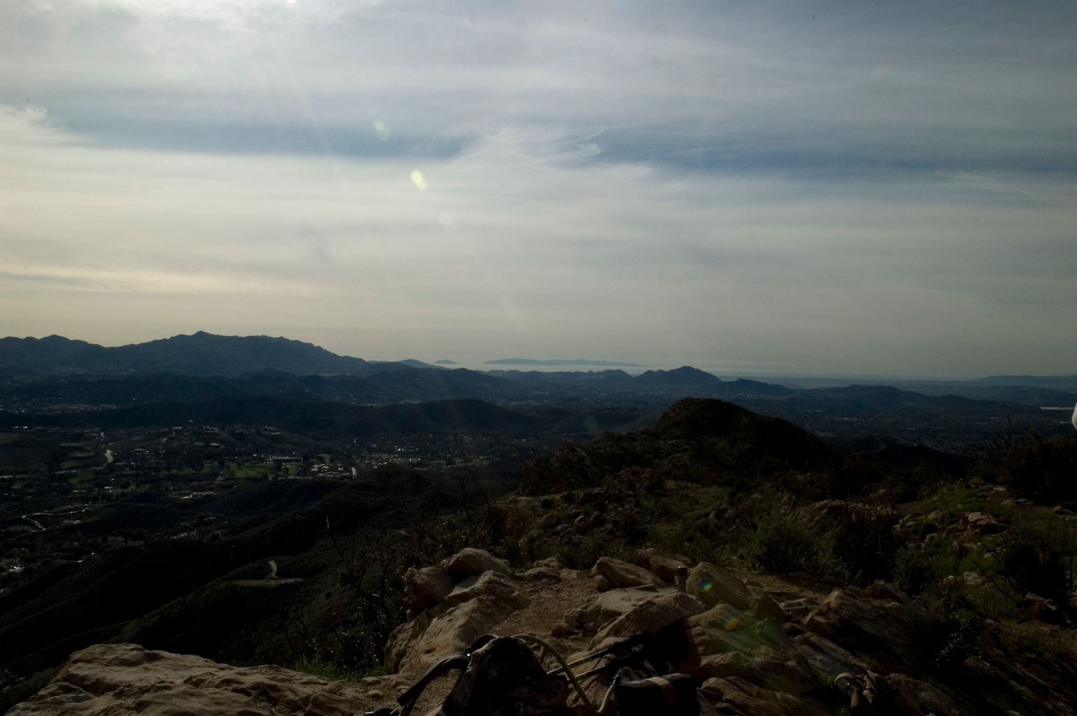
Some shots from Glendora Mountain Road. Glendora Ridge Road is closed as of the other day (December 17th). I hope they open it up soon as it is a major artery for me.
There was snow down to about 2500ft or so on GMR the other day, with it melting and crossing the road becoming icy in shaded sections.
As always, be careful out there on icy roads, especially near Baldy Village on weekends, when everyone and their whole dang family is up trying to shovel snow onto their SUV. Lotsa folks probably aren't used to driving in those conditions. The switchbacks are not a cool place to be then.
HAH! Yeah, well they've got that damn flippy-downy thingy where the URL/TAG's are, and it doesn't work so hot. Plus, it says "Copied" when it "copies" the URL, but it often does not, so you end up with a post that has the same damn picture repeated a bunch of times. Dumb.
TacoDelRio wrote:HAH! Yeah, well they've got that damn flippy-downy thingy where the URL/TAG's are, and it doesn't work so hot. Plus, it says "Copied" when it "copies" the URL, but it often does not, so you end up with a post that has the same damn picture repeated a bunch of times. Dumb.
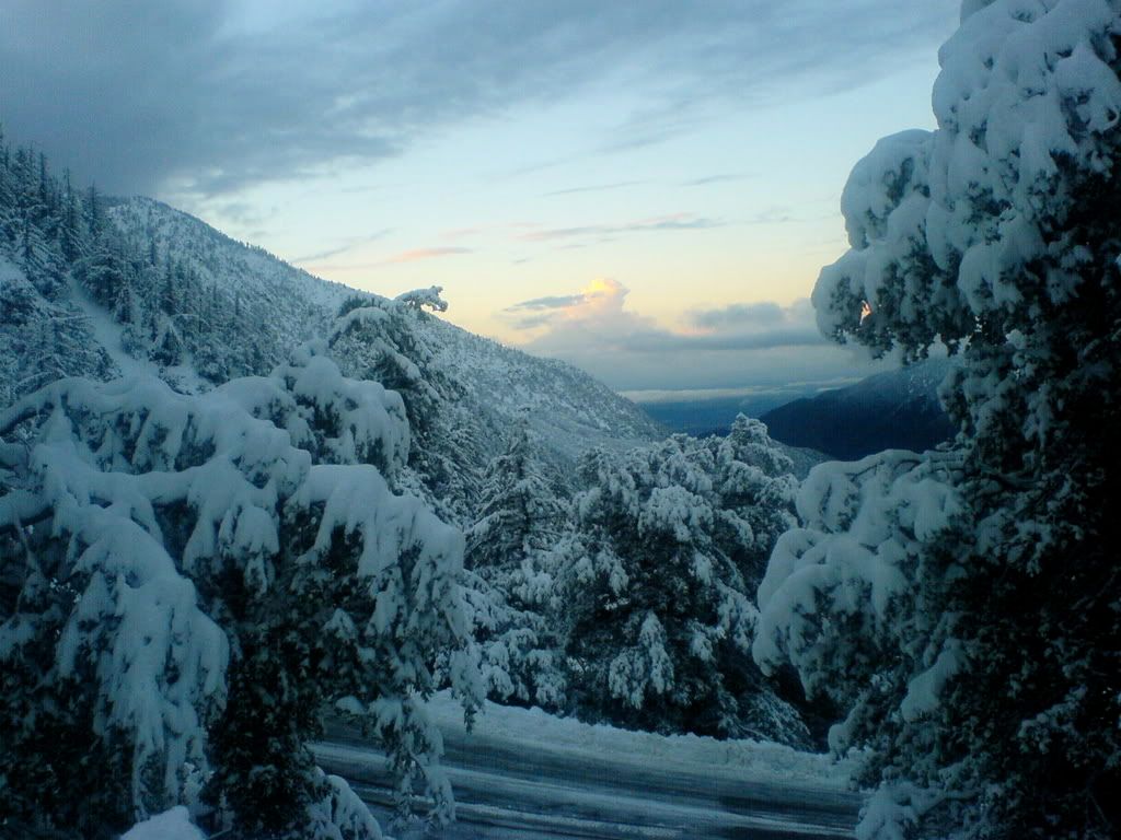
probably due to my violation of basic photo principles and shooting into the light; I do like the way it sears everything all the way to the edge of the photo, phone cam is a sony ericsson which is a pita in many ways but at the time had a highly rated camera for when I didn't want to lug the jumbo dslr; glad you liked the pic, I think it is the only way we're gonna see snow for a while...
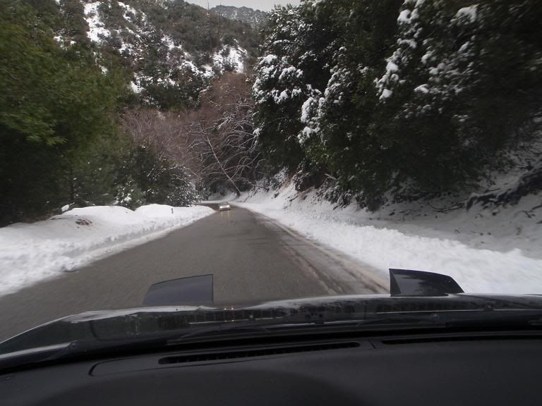
Some road shots. Glendora Ridge Road is open and clear, though this is now obsolete information, since there's a storm coming in again in a short period of time WHEEEEEEE!!!!!!!!!!!!!!!!!!!!!!!!!!!!
Road conditions are safe, typical, wet on north facing/shaded sections of roadway.
I'm surprised they plowed GRR. During our first snow of the season, they just locked the gates and kept everyone out for a while.
In other news, Photobucket's retarded flippy-URL-copy system needs to end now.
Cool to see Lilbitmo and Zach on their way home! HERRO!
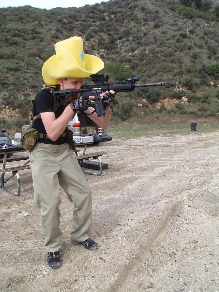
Taco, you need that hat, bring it on the next hike. That way the rookies can follow you up any chute, coulier and you may even be able to catch rocks in it before they hit you?
I foolin' around on this archive of old postcards, and noticed it has an entire section about the Mt. Lowe Railroad. I think they're really interesting, so I figured I'd share them with the board.