Awhile ago, after scrutinizing lists of unofficially named peaks in the San Gabriel Mountains, I happened upon this report of an attempt on something called "Calamity Canyon Peak." That group, which included seasoned scramblers Peter Doggett and Asher Waxman, turned back a mere two hundred feet from the summit, due to heavy, impassable buckthorn. And, indeed, no one had recorded an ascent of Calamity since then.
Despite its current state, the peak certainly saw its fair share of visitors long ago, after crews first built the Cucamonga Truck Trail. The '66 USGS topo even shows a ridge trail traversing the peak.

But once the road was abandoned, the trail was also abandoned, and buckthorn and manzanita soon retook the peak. The refortified summit went unvisited for decades, except perhaps for a few years after the Grand Prix Fire in 2003, which cleared the whole area of brush.
So yesterday, Keith, Steve, Henry, and I decided to have a go at it. We arrived prepared with clippers, a saw, and a hatchet. We met at the top of Haven Avenue at 5:30am. (Signs indicated no parking between 5pm and 5am.) It's possible to continue up the "closed" portion of Haven, which serves as an access road for some ranch houses, but there are "no parking" signs along this stretch. So we began by walking 0.4 miles up this driveway to the service road for Deer Canyon, which contains waterworks owned by the Cucamonga Valley Water District.
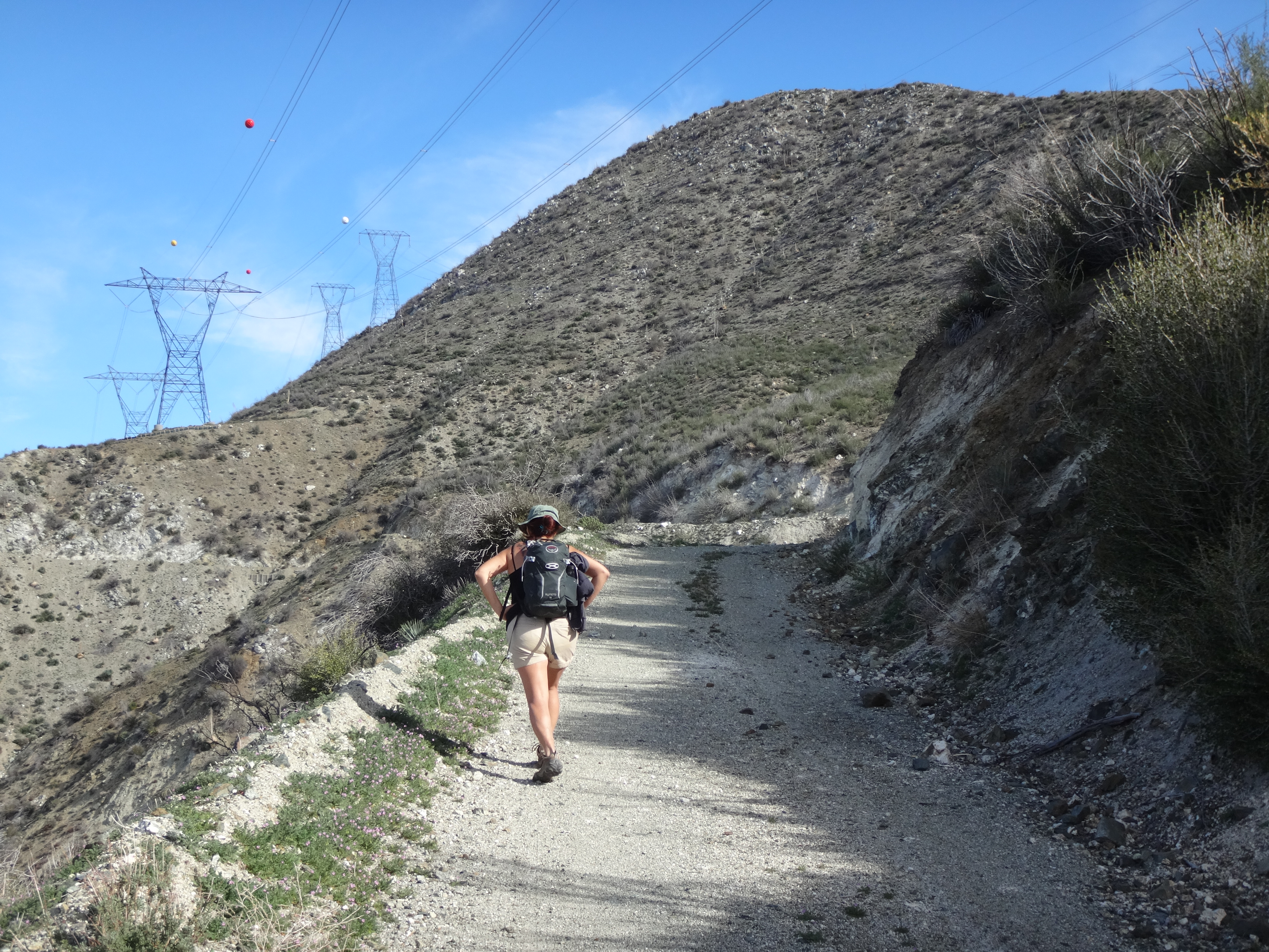
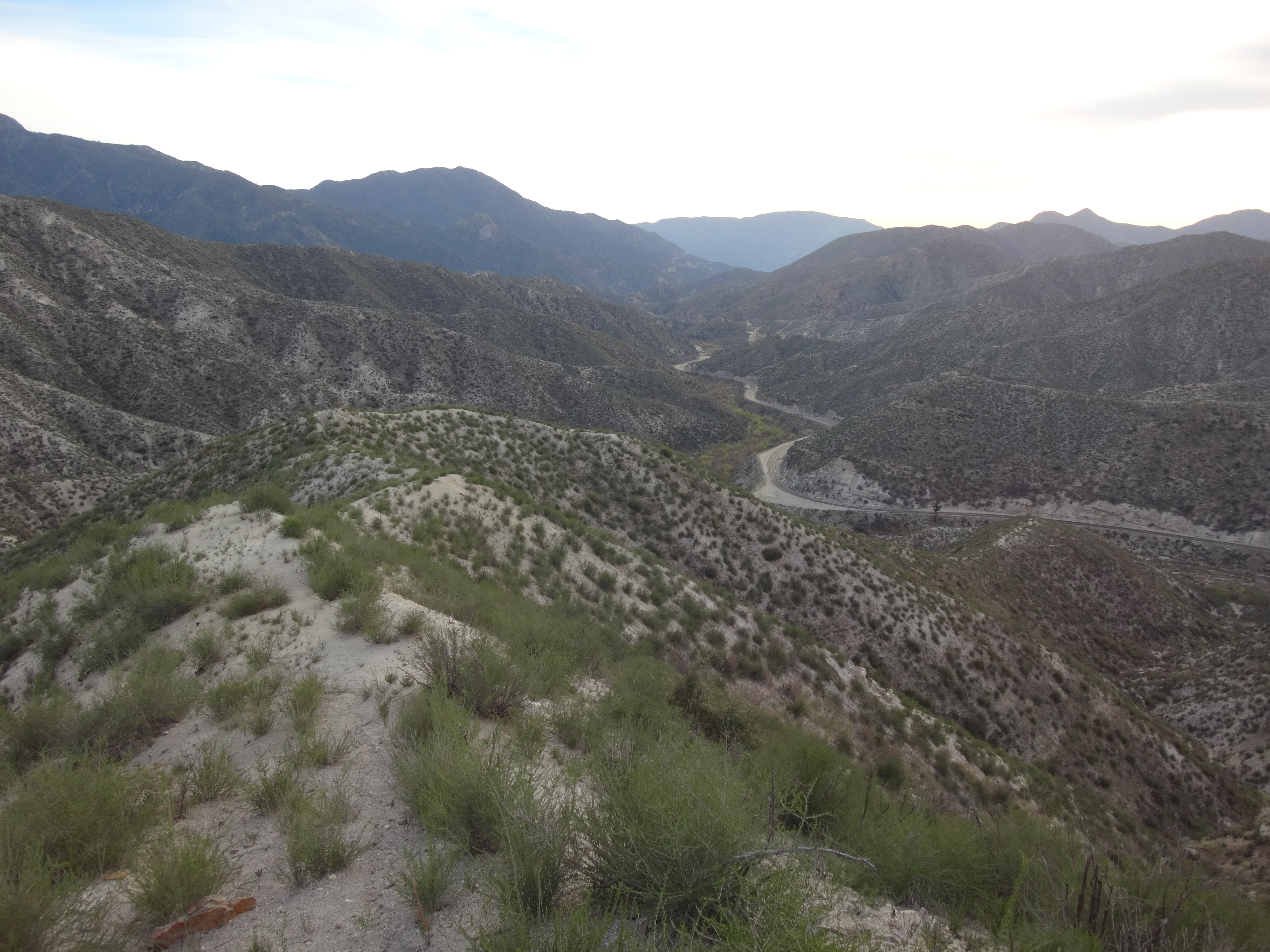
First paved, then dirt, the good road passed a dam, a couple tanks, and a few pipeline access points, before dropping into the rough, boulder-strewn Deer Canyon wash. About 1.7 miles after the service road gate, the nice path deteriorated quickly. The route essentially became a boulder hop.
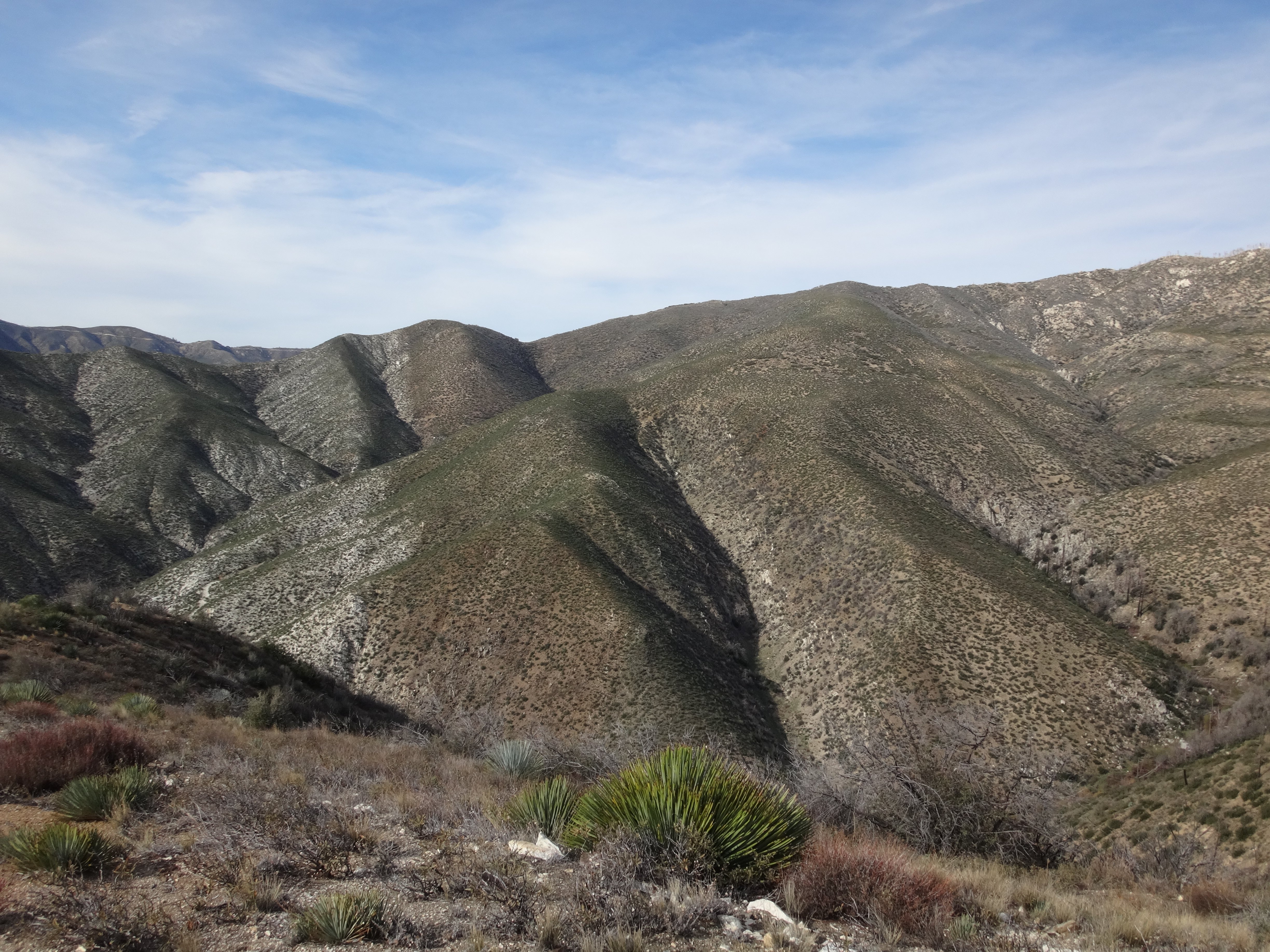
A little over a mile later, we came to the West Cucamonga Truck Trail crossing--or, what's left of it, which isn't much. It was easiest to identify the road coming in from the east and dropping down to the crossing, then look west for the continuation on the other side, which was where we wanted to go. We managed to scramble across the rocks and up to the remaining roadbed without too much trouble. The old path was moderately to heavily overgrown and required clipping in several spots. Also, in a few places landslides had covered considerable stretches, making passage exposed, loose, and dangerous. This was particularly the case during the Calamity Canyon crossing.


About 0.6 miles up the Cucamonga TT, we reached the east ridge of our peak. In the planning stage, some of us seriously considered trying this way. Aerial imagery indicated that it might be less brushy than the south side approach. But once we came face-to-face with it, our minds quickly changed. The ridge was protected by a thoroughly frightful wall of thorns.
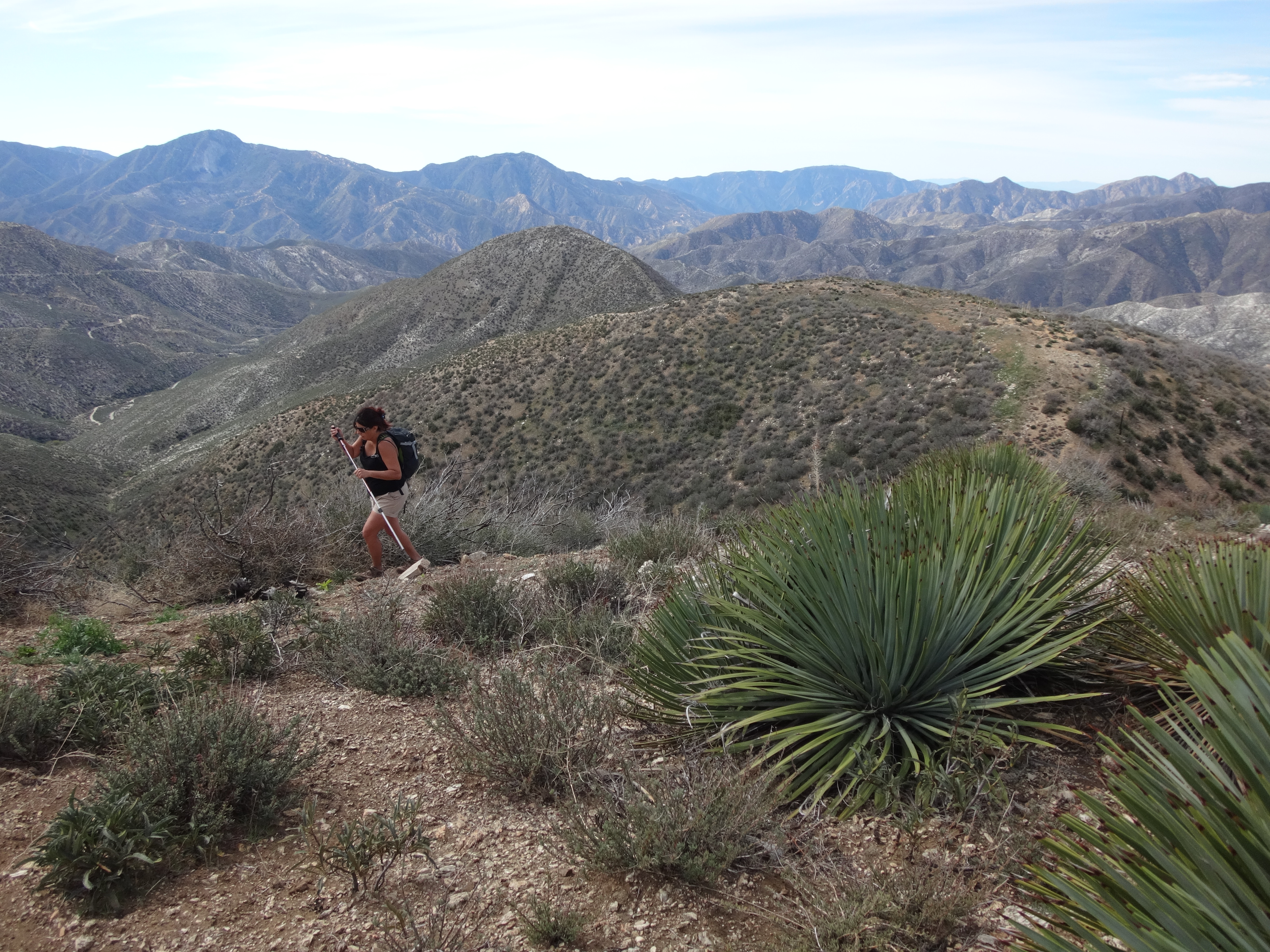
So we continued up the less scary, though still brushy, road.
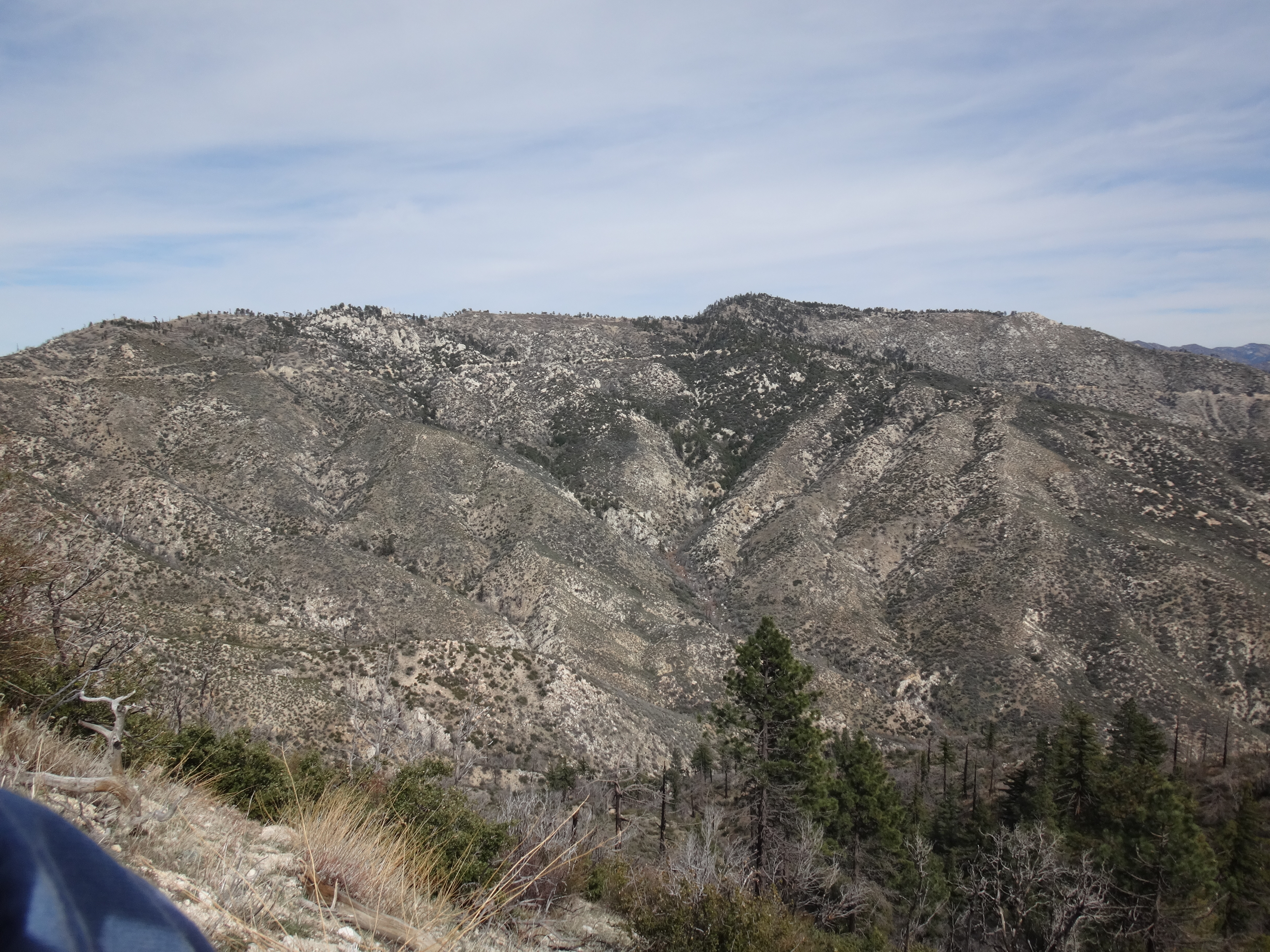
Another half-mile later, we finally reached the south ridge. Some signage still exists here at an old road junction (5385').
The old splinter road used to contour around the west face of Calamity Peak to a saddle (5705') on the north side. But after attempting to follow it, we very quickly gave up, as it is now very heavily overgrown, and we were getting pushed off the side of the thick roadbed onto the uneven slope.
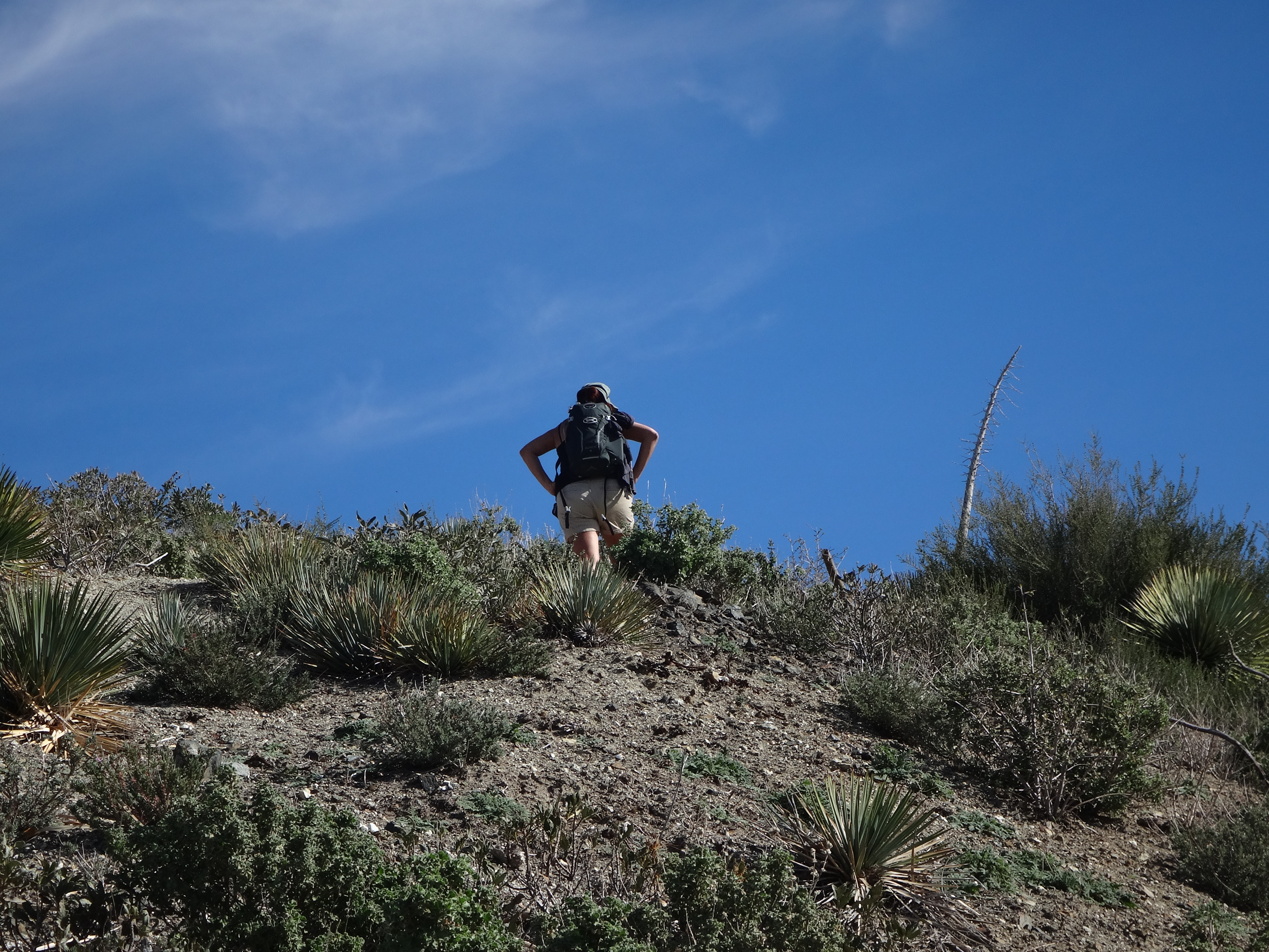
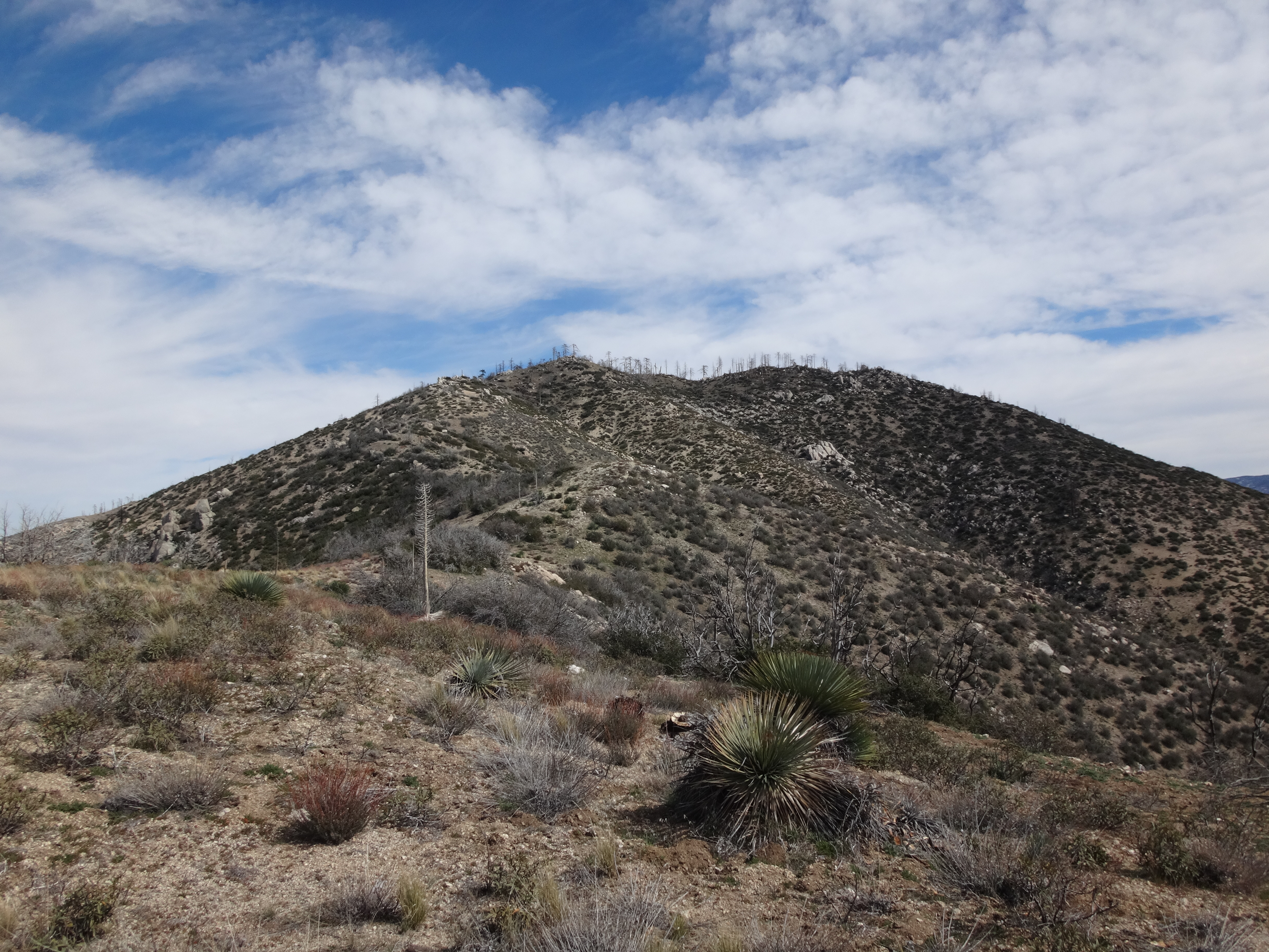
Our last and best option seemed to be the direct route up the south ridge. Keith suggested that being able to see our goal from the ridgetop would help motivate us to continue. Whereas the contouring road offered practically zero inspiration. Also, as long as we were having to blaze a trail through such a mess, we might as well pick the shortest distance between two points, which would be the ridge.
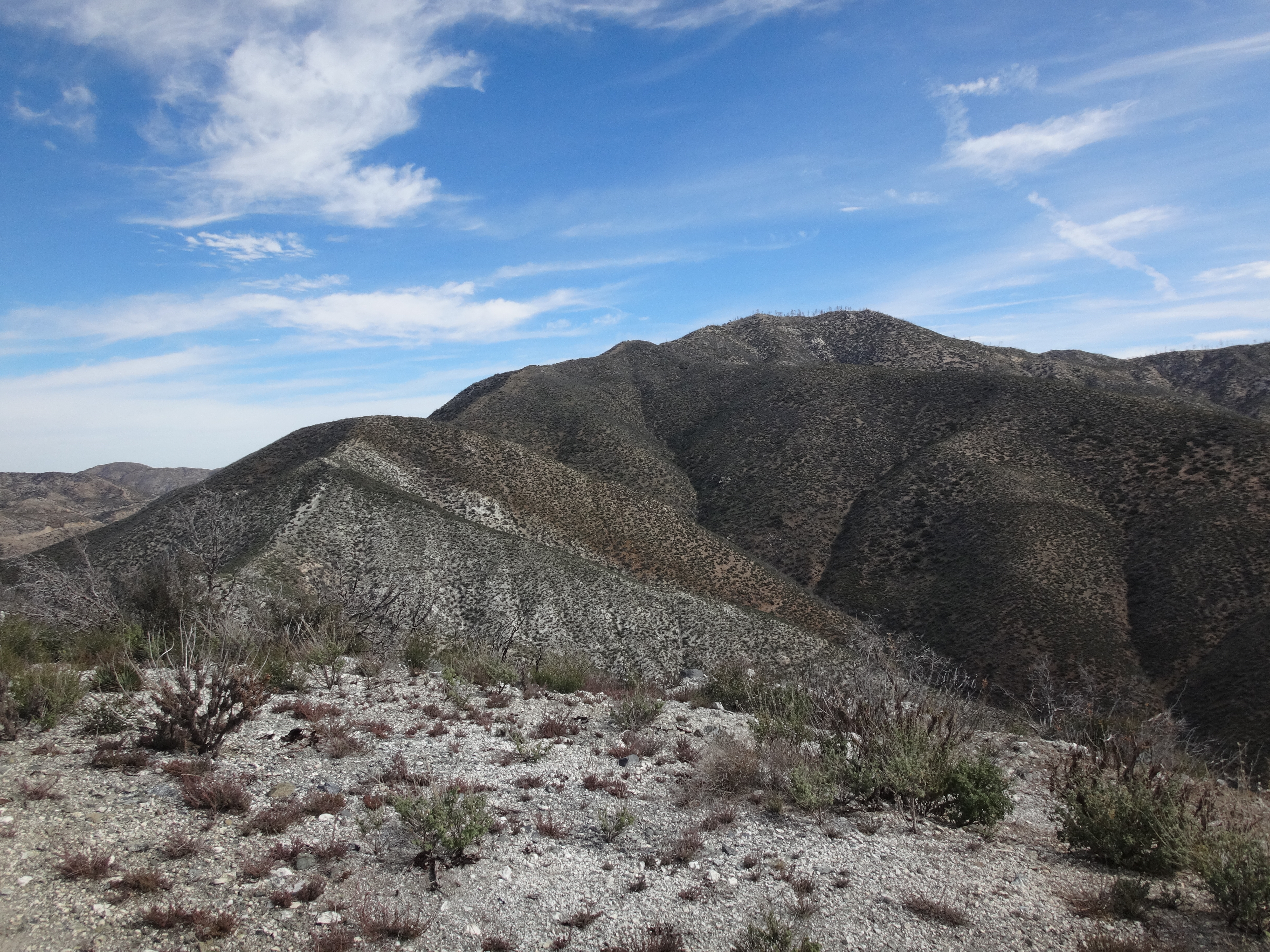
The initial bit up to bump 5560' offered little resistance. And here, to our surprise, we discovered a register, which sixteen others had signed before us, including eleven-year-old Rigdon Smart.
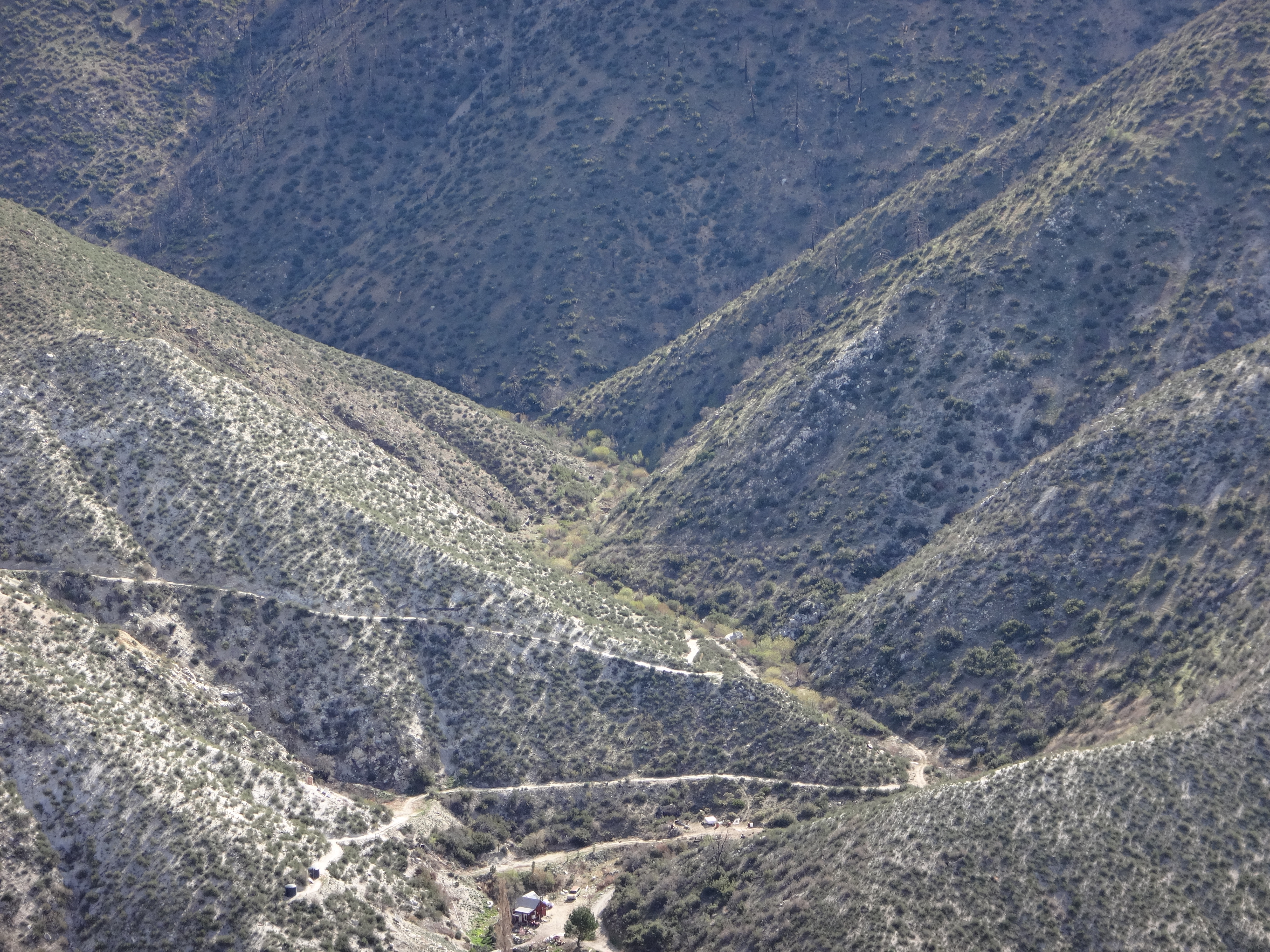
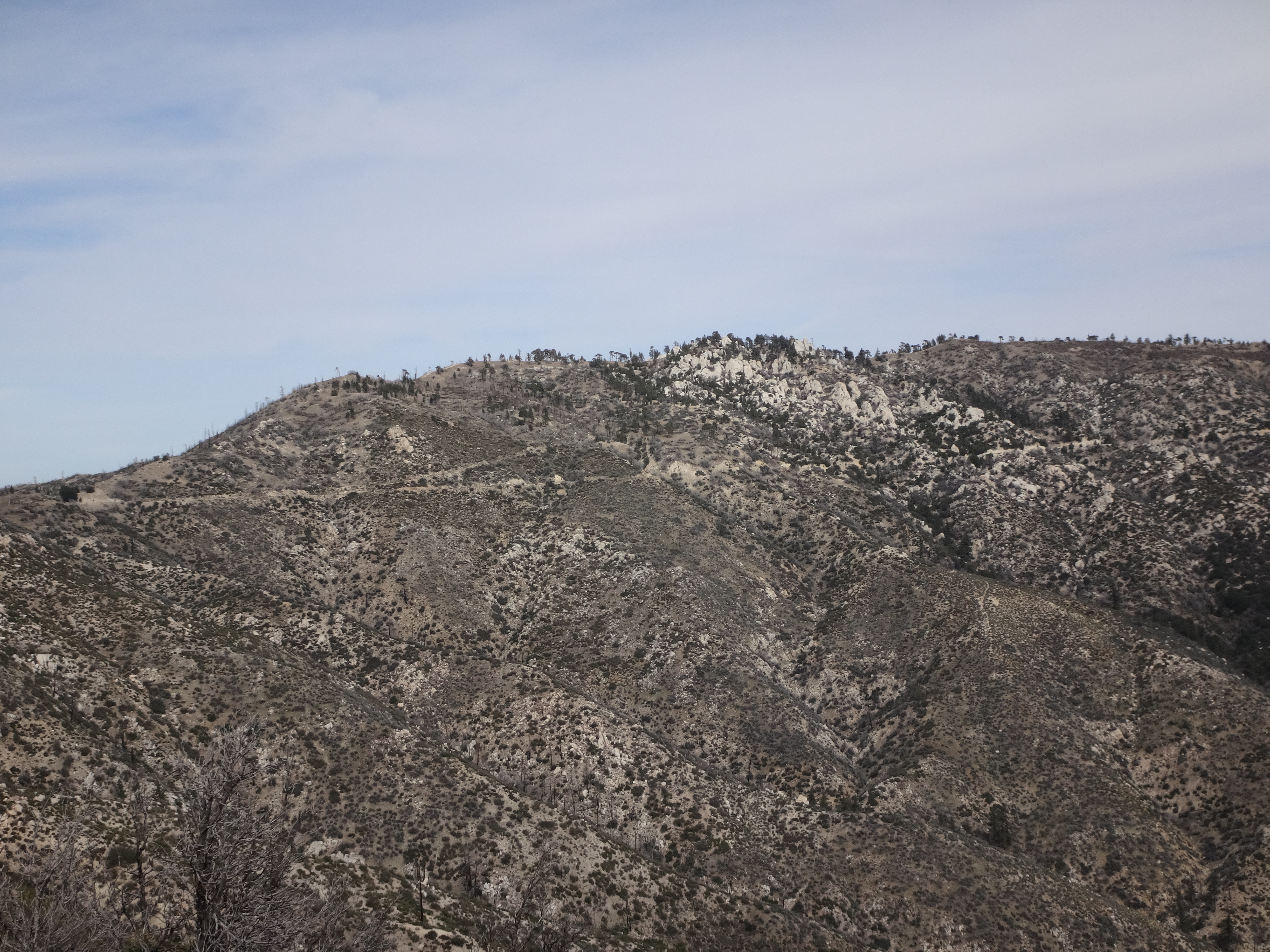
Unfortunately none of these folks had made it the final 240' to the top. And who could blame them? That last stretch may be only two-tenths of a mile, but it looks like this...
Even though we could see our goal, it still took a real mental effort to maintain our motivation, as the up-ridge thornwhack quickly slowed to a crawl.
The four of us clipped, sawed, and hacked, while simultaneously being cut, scratched, and impaled.
Being the lone worshipper of shorts, my legs took a bloody beating. The others, wearing pants, still got messed up. Keith took a direct hit in his finger. Thankfully, he managed to remove most of the embedded thorn with tweezers.
It took an hour and forty-five minutes to cover the 0.3-mile distance between the Cucamonga TT and the summit. But we did it.
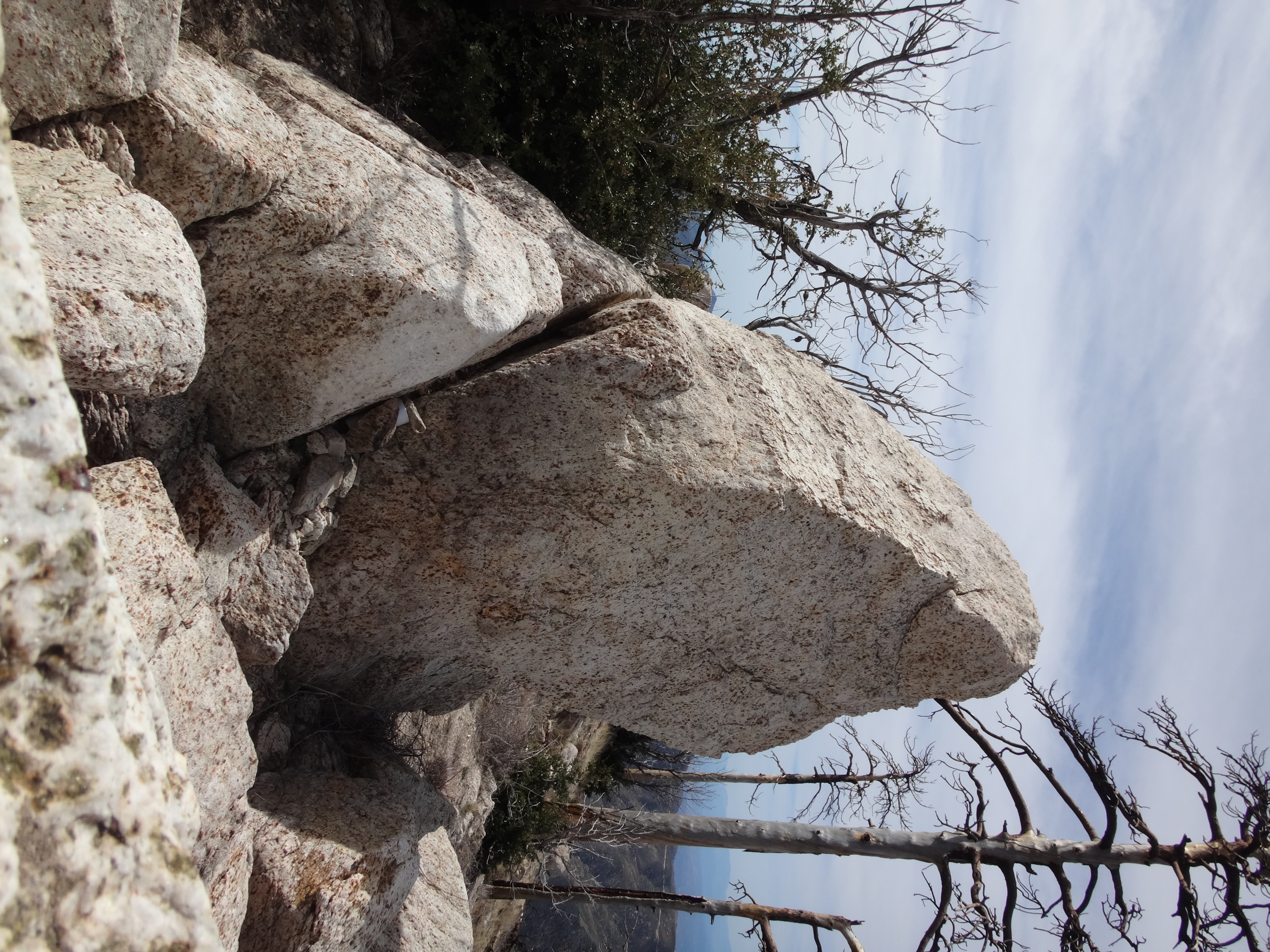
We transported the five-year-old register from the false bump (5560') to the peak (5800'). The register was titled "Calamity Peak." So that's what I'm calling it in this report. Though on Peakbagger it's called "Calamity Canyon Peak."
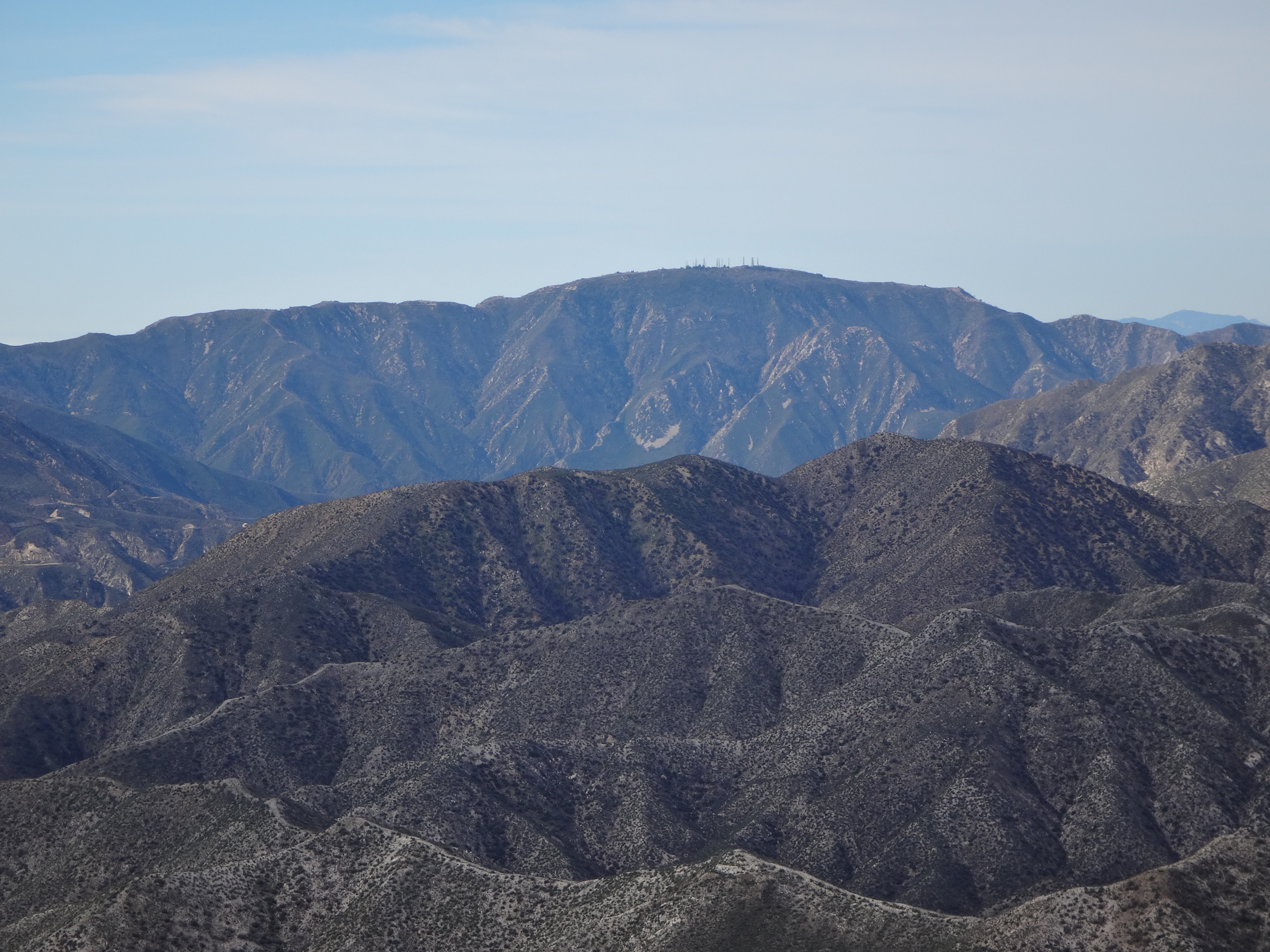
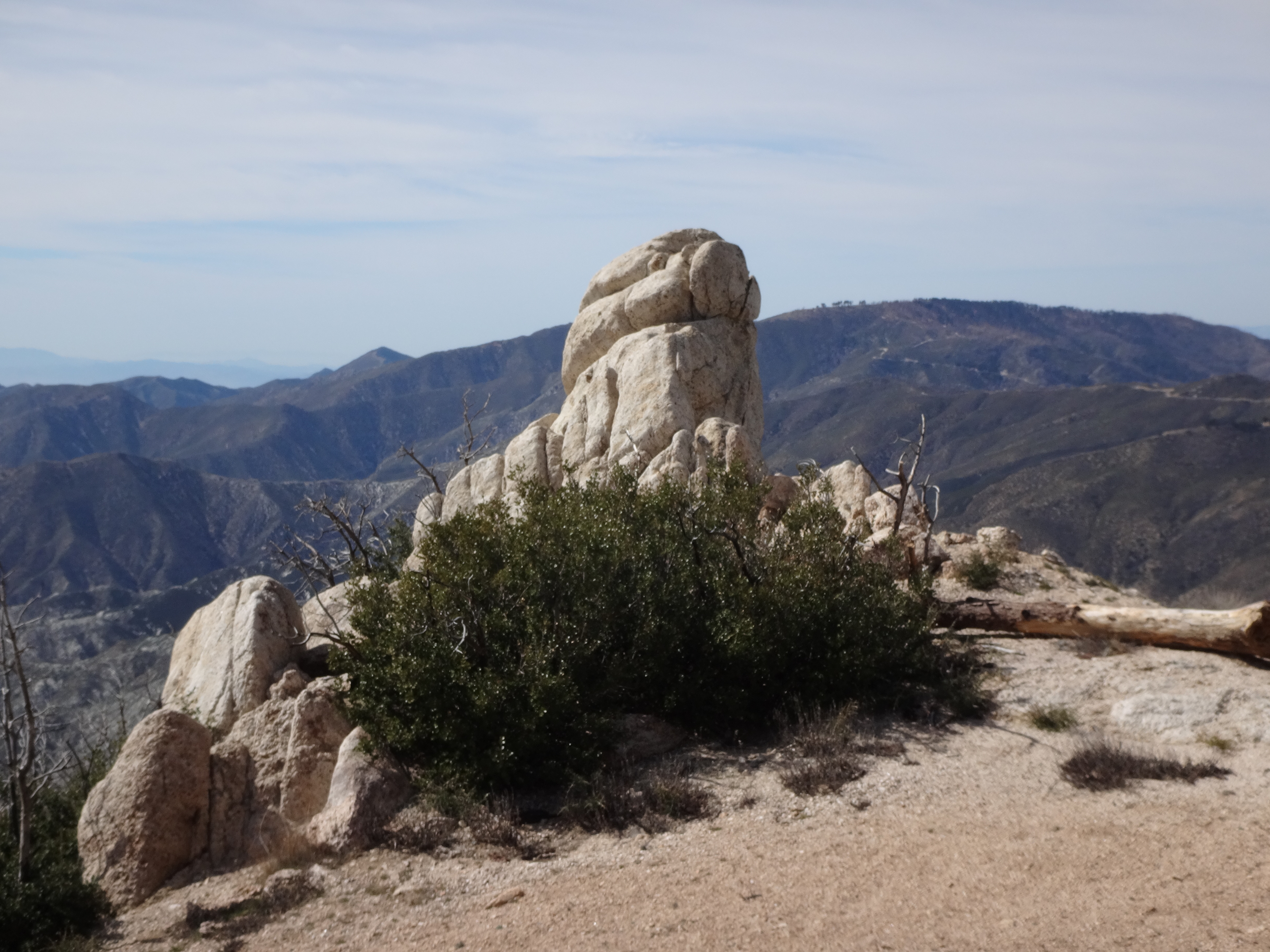
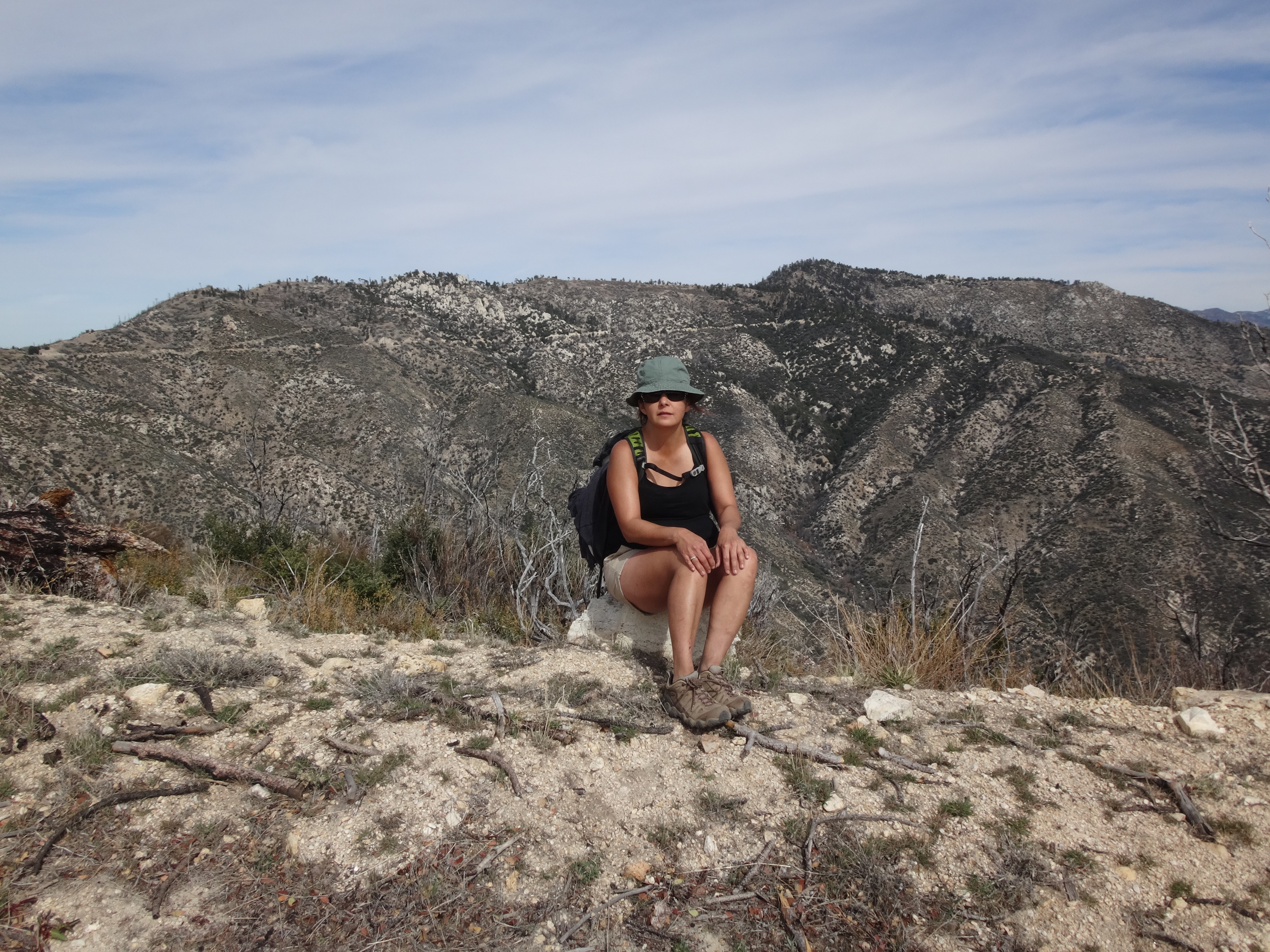
The actual highpoint doesn't have much room for sitting, so we placed the register book a few yards away in a small clearing. Despite being short on comforts (no shade), the summit offered really nice views all around. My favorite was the conical profile of Turtle's Beak to the west.
To the south, Saddleback floated upon a sea of haze.
We didn't stay long because it was getting hot and the summit area was full of ants and biting flies. Thanks to our trail-restoration efforts during the ascent, the descent was much less painful, though still a bit thornwhacky.
From the road, Keith and Henry tried to scramble directly down Calamity Canyon, while Steve and I stuck to the path. However, they got turned back by a waterfall.
In Deer Canyon I refilled water at a seep in the otherwise dry wash. My feet were starting to kill me from all the bouldering. Steve admitted to having sore feet as well. Henry and Keith were still looking pretty solid.
Eventually we all made it back to the good service road, where we promptly got buzzed by a low-flying helicopter.
Perhaps it was checking on the waterworks.
Keith ran ahead to try to beat rush-hour traffic on the freeways. The rest of us took our time and made it back to the cars by 3:30pm. We were extremely happy to have checked off another difficult peak on our lists.