Mt Woodson

Archived TRs for ranges in California.
Post Reply
User avatar
JeffH
Posts: 1154
Joined: Sun Nov 28, 2010 7:09 am

Post by JeffH »

August 15, 2018
I get the opportunity to visit Tijuana every two weeks for work, so instead of sitting in traffic for more than three hours I decided to delay the trip home and hike a local landmark. This route starts at Lake Poway and heads uphill steadily, gaining over 1800 feet in about three miles. It's also very hot, as the trail is on the south side of the mountain and low brush does not provide any shade. In reading other hike reports, there is supposed to be a single oak tree along the way which creates a nice resting spot, but the only tree I saw was long dead and now is only a carcass.
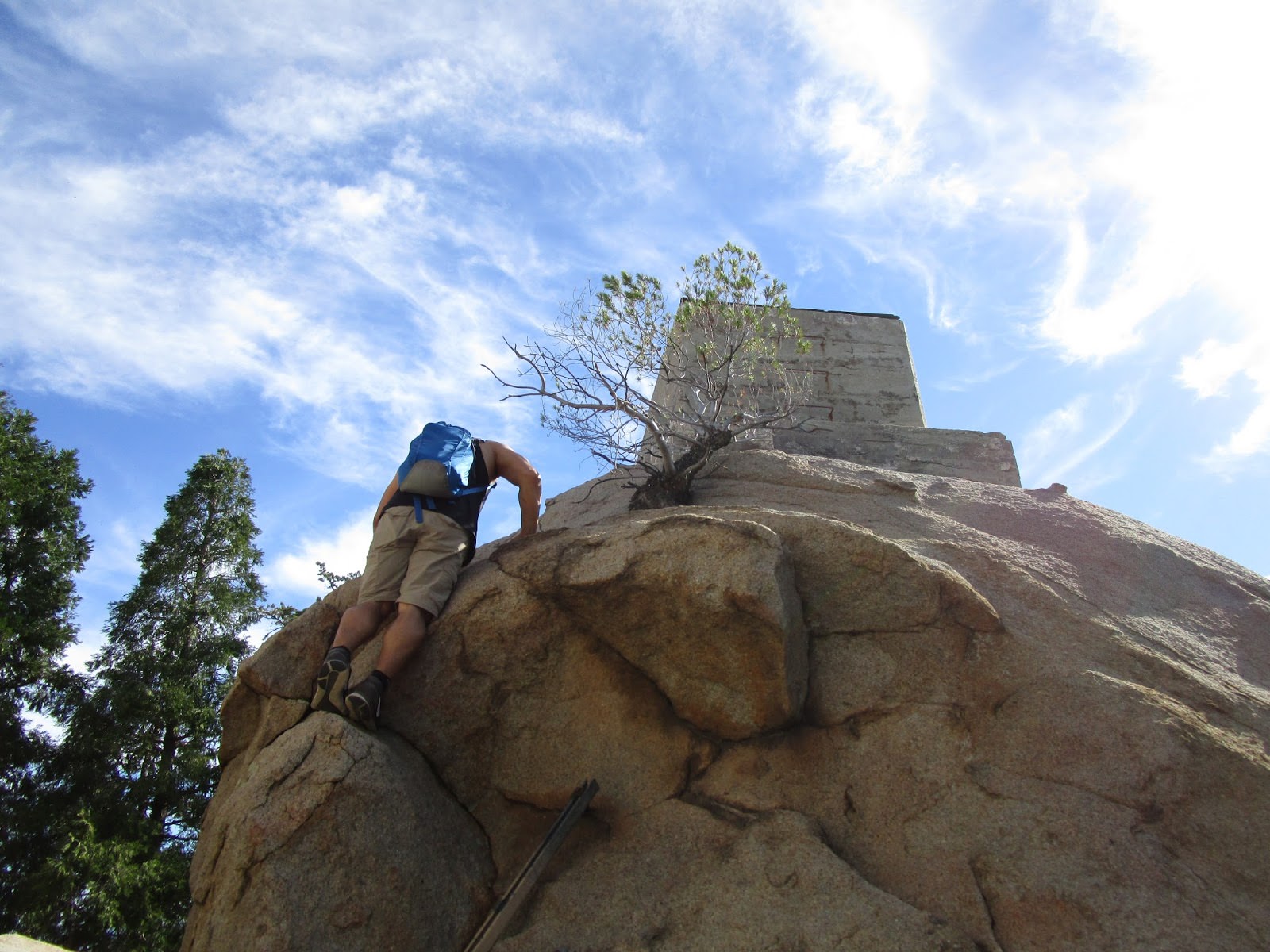
I got to the trail around 3pm and on my way up only saw five other hikers. Once I got to the peak quite a few others arrived from a different trailhead, forming a line for photos at Potato Chip Rock just below the summit. The area up there is covered with electronic gear, in my wanderings I did not find any marker or register. The views would be great on a clear day, unfortunately this morning was overcast meaning the afternoon was hazy.

Photos below:

DSC02808.JPG

Trailhead marker. Plenty of these along the way - summit in the background.

DSC02811.JPG
View of Lake Poway. It's really more of a pond.

DSC02815.JPG
It was definitely hot. I went through my entire two litre Camelbak.

DSC02822.JPG

Crossing from one sunny side of the canyon to the other.

DSC02834.JPG

I took a spur trail to a viewpoint and got this vision of the peak. Still 1.3 miles to go.

DSC02836.JPG
Lots of big rocks up here. The trail is really wide and well-graded.

DSC02846.JPG

Almost there, right after this spot another sign marks the end of city-maintained trail.

DSC02852.JPG
Obligatory shot on the rock.

Woodson Hike.png
Runkeeper summary of the hike. Forgot to start tracking when I began walking.
"Argue for your limitations and sure enough they're yours".
Donald Shimoda
User avatar
tekewin
Posts: 1194
Joined: Thu Apr 11, 2013 5:07 pm

Post by tekewin »

Woodson is a great San Diego hike and Potato Chip Rock is a big crowd draw on the weekends. You went on a good day, but man it must have been crazy hot in the afternoon. Not an easy hike when it's so hot.

The true is summit is on a boulder past most of the buildings. It's not easy to find and I only found it after someone pointed it out to me. Boulder is class 3 and has a cement foundation on top. The benchmark is on top of the boulder.

Image

Image
User avatar
JeffH
Posts: 1154
Joined: Sun Nov 28, 2010 7:09 am

Post by JeffH »

tekewin wrote: ..... The benchmark is on top of the boulder.

Now I'll have to go back just for that! I can't imagine how long the wait is on weekends. Even with just a family of four people ahead of me I hung around for about 10 minutes.
"Argue for your limitations and sure enough they're yours".
Donald Shimoda
User avatar
Girl Hiker
Posts: 1318
Joined: Fri Apr 04, 2014 7:46 am

Post by Girl Hiker »

Nice report. Don't feel bad about not finding the BM. When Sean and I hiked there we didn't find the marker either until Keith told us where it was located.
Post Reply