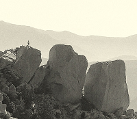
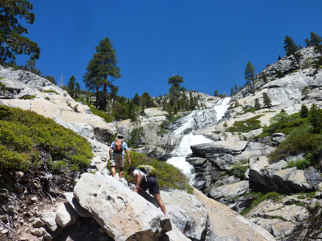
Horsetail Falls to Pyramid Peak in Desolation Wilderness
http://www.everytrail.com/view_trip.php?trip_id=2169875
photos
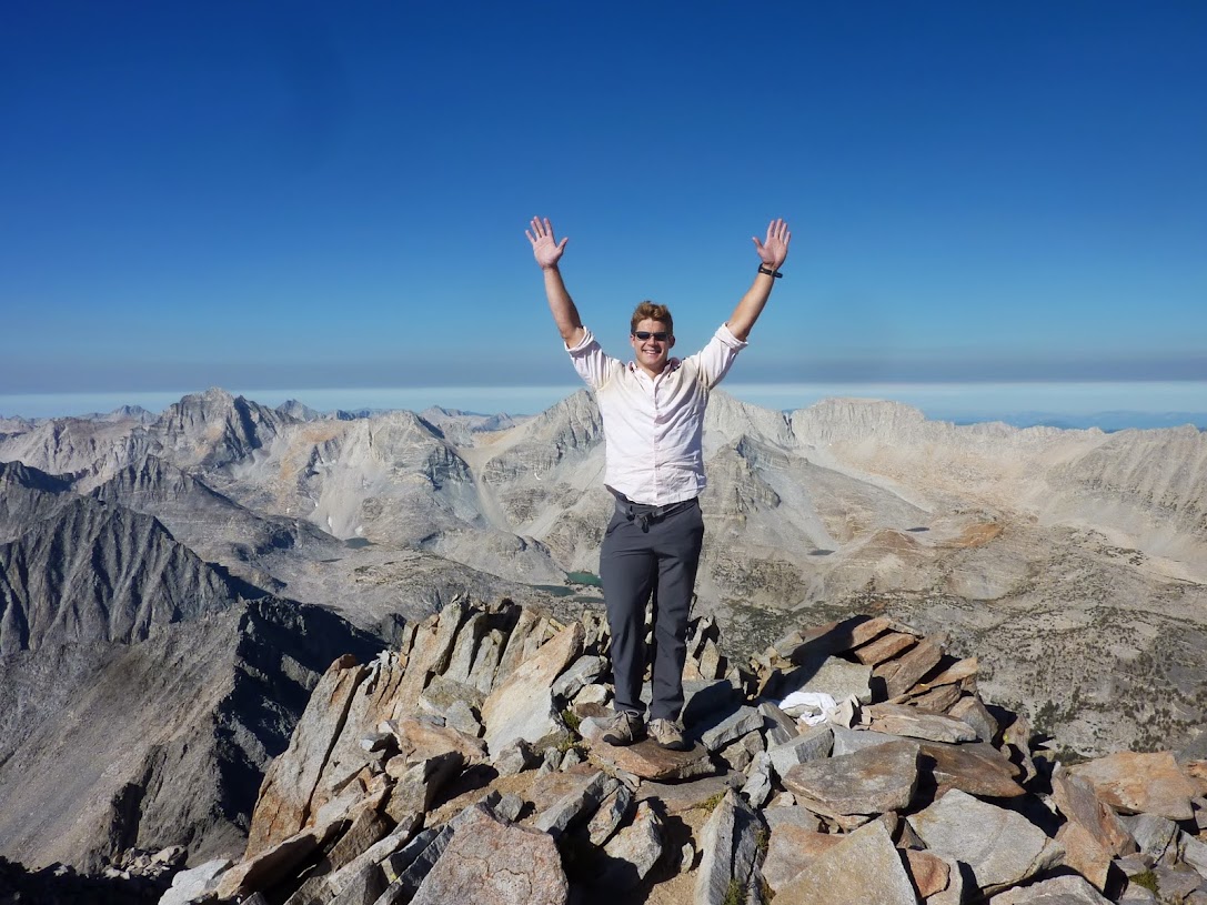
Desolation Wilderness lies just west of Lake Tahoe and north of U.S 50 and is a really pretty area with nice tough hikes up to about 10000 ft. Pyramid Peak is a prominent peak that can be reached via a nice strenuous use trail (~3.5 miles, 4000 ft) up Rocky Creek. Or you could scramble up cross country from Horsetail Falls as we did, which includes lots of fun class 2 / 3 scrambling on solid granite across the Lake Aloha basin. Really fun, about a 3 hour drive from the Bay Area.
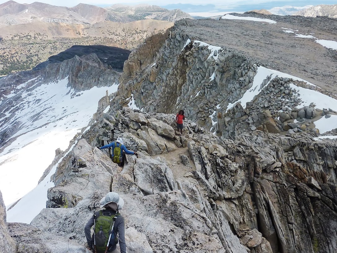
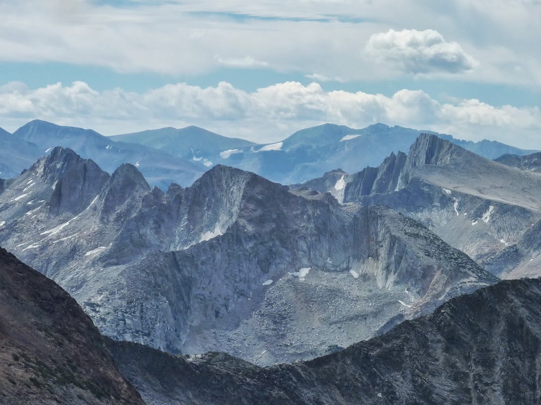
Mt. Conness via Alpine Lake
http://www.everytrail.com/view_trip.php?trip_id=2279759
photos
Mt. Conness is a prominent peak north of Tioga Road (CA-120) near Tolumne Meadows in Yosemite. We approached via Alpine Lake from the east on a class 3 route with some pretty good exposure. There are several more technical approaches (class 4 / 5) from the west and north, as well as an easier approach if one heads to the saddle between White Peak and Conness. The scrambling is tame for the most part, however once you gain the East ridge, you are provided nice thousand foot dropoffs a few steps to your right! After heading up a class 2 / 2 face to the summit ridge, you encounter the crux of the route - the final summit push with significant exposure to either side of a 12-15 spine. In general the scrambling here is pretty tame. However at one point we needlessly found ourselves on the edge of the spine traversing just above another thousand foot dropoff. Needless to say I was quite focused on my handholds!
Matterhorn Peak from Twin Lakes
http://www.everytrail.com/view_trip.php?trip_id=2279732
photos
I decided to join up with the first 3 days of Bob Burd's Sierra Challenge. The first day objective was some obscure peak, but with Matterhorn Peak accesible from the same trailhead, I had to go for that. Matterhorn Peak is an SPS Emblem peak a lies at the northern boundary of Yosemite, and is a class 2 route up Horse Creek from the north. This is a nice, relatively easy to follow route that is still pretty strenuous gaining almost up to 6000 ft in total. Great views of the surrounding area, and take a dip in Twin Lakes afterwards if it's hot out.
Mt Morgan & Twelve Flags Peak
http://www.everytrail.com/view_trip.php?trip_id=2279742
photos
The second day I actually planned on at least partially sticking with the group. I had gotten some decent acclimitization from Matterhorn (12,200 ft), so I was feeling better about pushing myself harder to first go up Mt. Morgan (13,700 ft). We all met at the trailhead before 6 am (like 30 people???), and promptly at 6 we were off. Lots of people started off pretty fast but eventually burned out just after the trail ceased at Francis Lake. I maintained a solid pace and kept my HR steady at 150 and topped out in ~2:40. Eric, Sean, Craig, Luke and Pat were probably 10 min ahead of me. Not bad considering my generally altitude suckiness. After enjoying some great views, I followed Luke over to Twelve Flags peak. From there, the goal was to climb class 3 (but looked and turned out to be class 4 / 5) ridge across Broken Finger Peak to Adamson Point. I was content with the 2 peaks, so relaxed for a while then started heading down. After taking a steep & loose chute down to about 11,800 ft, I was scrambling across the last 1/4 mile of a boulder field when a slab I put weight out gave out and I landed awkwardly and really effed up my left ankle (culminating with a "pop" sound). Immediate swelling and reduced mobility commenced! I had a heck of a time getting out the last part of the boulders - taking probably an hour, until I thankfully reached flatter land and was able to hobble the last 4 miles back to the trailhead. No 3rd day of the challenge for me!
Ankle will keep me out a while (at least 2 avulsion fractures - ligament pulled pieces of bone off), but hopefully no full tears. Still, a great day.