Clouds Rest from Happy Isles, Yosemite Valley - 6/22/2011

Archived TRs for Sierra Nevada ranges.
Post Reply
User avatar
mcphersonm80
Posts: 243
Joined: Mon Aug 23, 2010 11:46 am

Post by mcphersonm80 »

***edit: (the pictures came out much larger than I thought they would... :oops:)***

A couple weeks ago, my wife and I had a chance to slip away to Yosemite for a few days. Not particularly wanting to stand in line on a giant boulder, we decided to skip Half Dome and go for the mother of all day hikes up to Clouds Rest, a 21-mile hike with 6000+ gain. It was worth every step.


Image

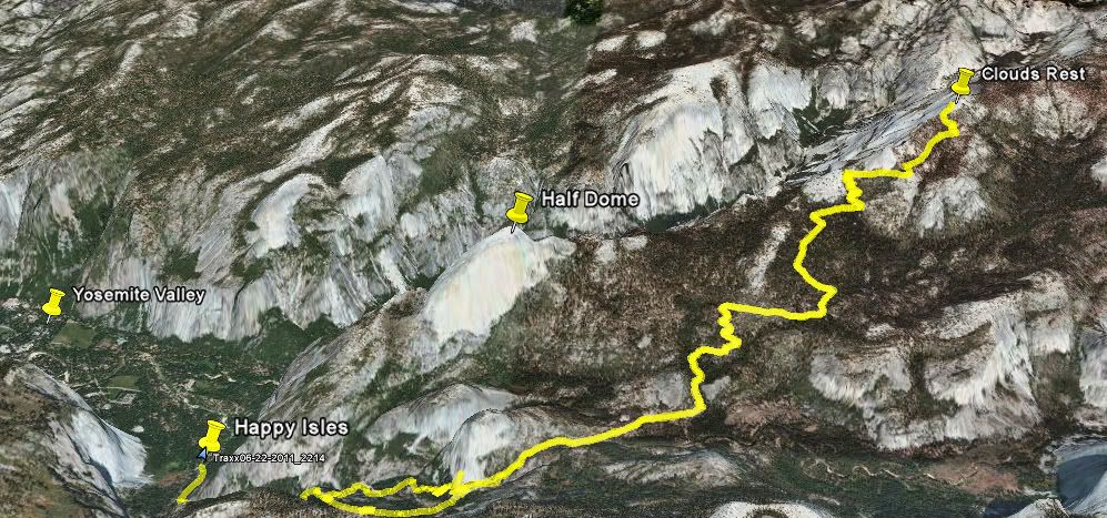
We started out in Happy Isles, the furthest shuttle stop to the east in the Valley. They say it's the most popular trailhead in the park, as it's the same starting point as Half Dome. In fact, the trails run identical along the John Muir Trail for the first 6 or 7 miles... Luckily, the cables were just being installed that day so not many people were on the trail. The trail also leads to Vernal and Nevada Falls, and flow in the falls and streams were absolutely out of control following the heavy winter and recent warm spell.
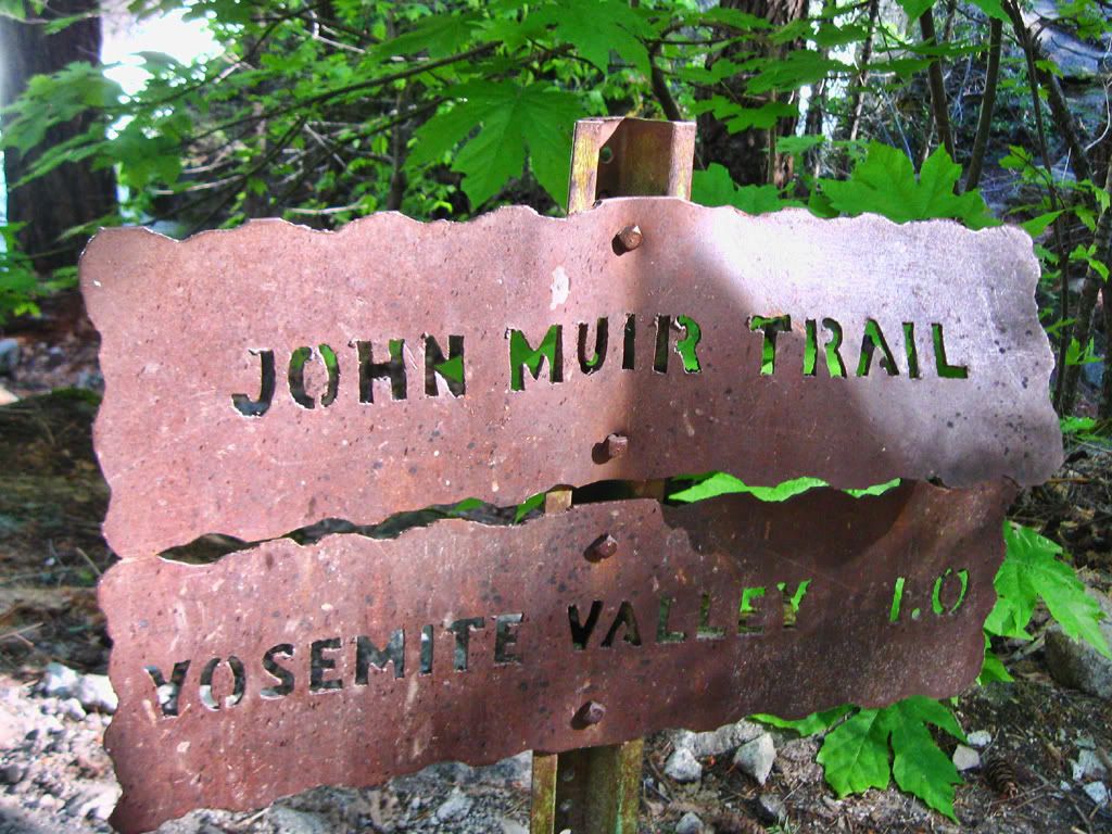
Image
JMT!

Image
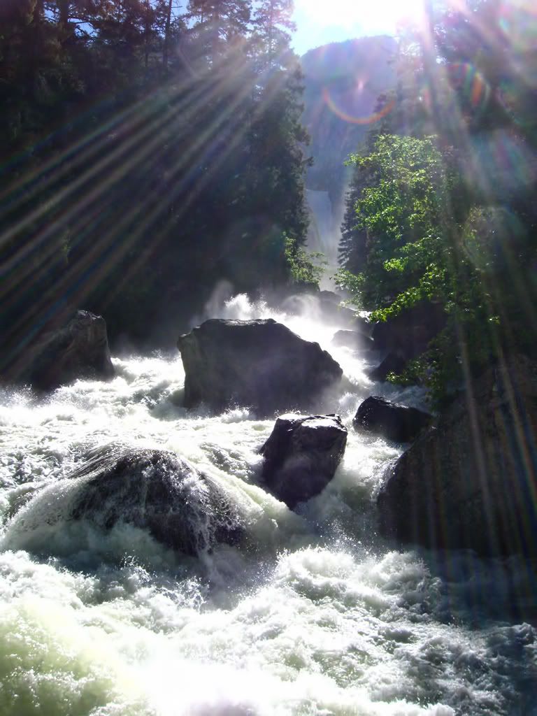
Just downstream from Vernal

The trail essentially winds around Half Dome to the south, and from the start you're rewarded with incredible views:

Image
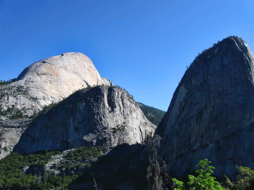
(Half Dome, Mt Broderick, and Liberty Cap)

Image
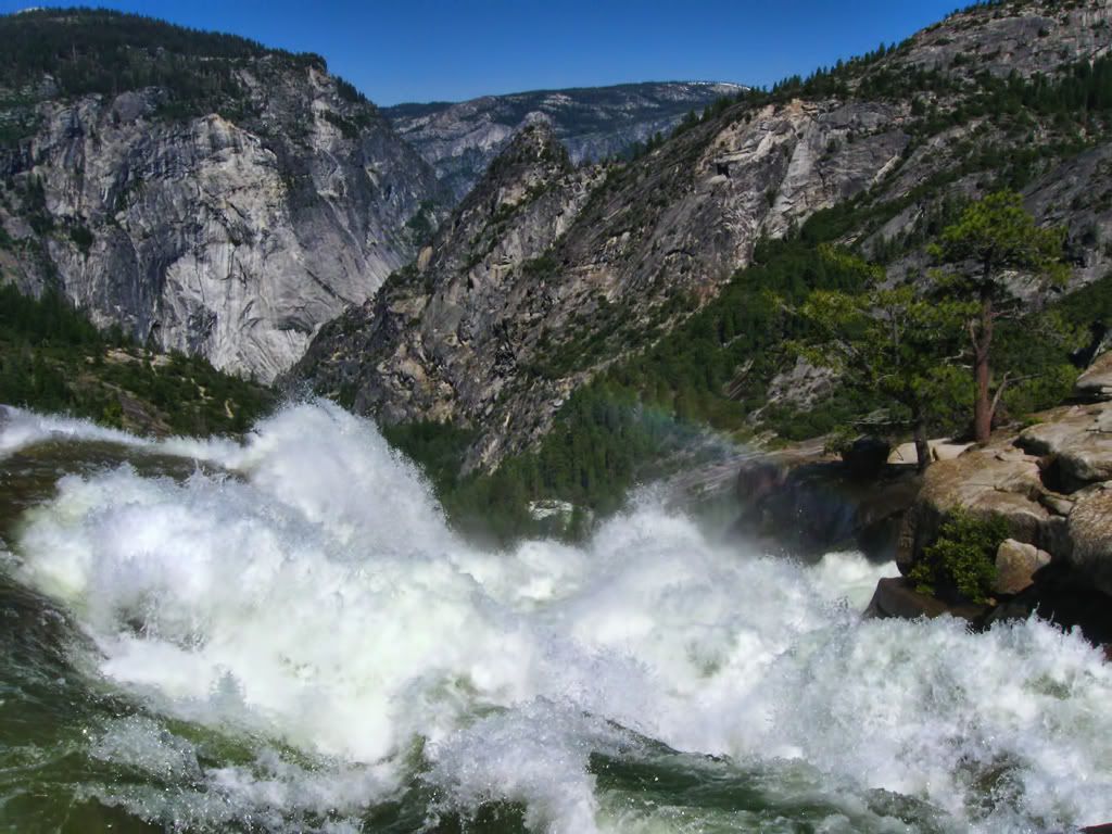
(The precipice of Nevada Fall)

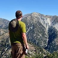
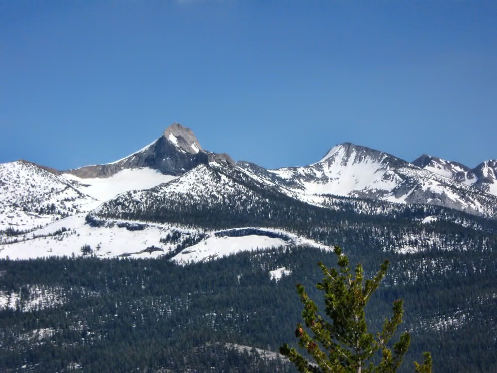
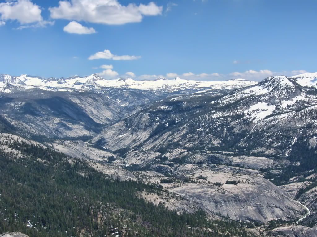
The Clark Range is the first of many snow-capped subranges to come into view, and against the deep blue sky they didn't even look real.

Image

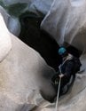
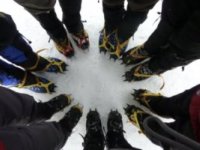
And as we reached the snow level ourselves (around 9k'), the trail disappeared and the views opened up to the rest of the Yosemite High Country. After a bit of route finding (pretty easy on an arete like Clouds Rest), we made our way to the top.
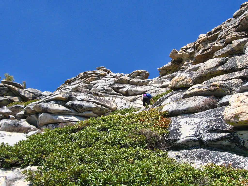
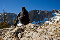
Image
(summit push)

Image
(view north to the Cathedral Range, Mt Lyell being the highest point in Yosemite Nat'l Park)

Image
(several thousand feet down Tenaya Canyon)
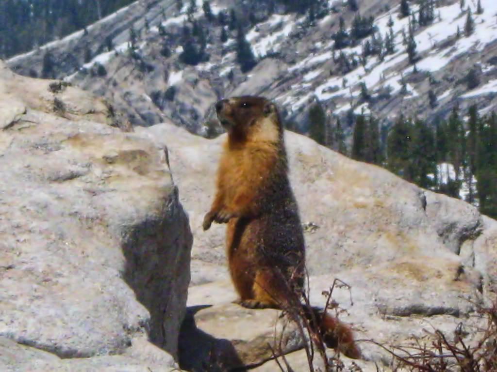
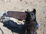
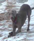
Image
(the locals)

Image
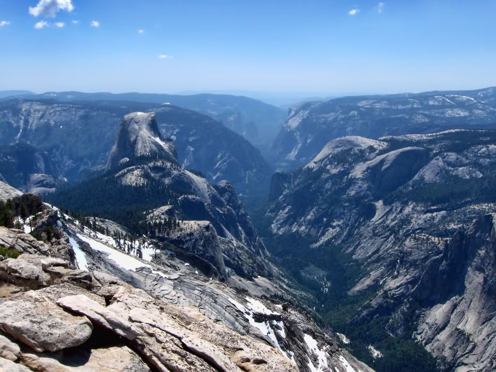
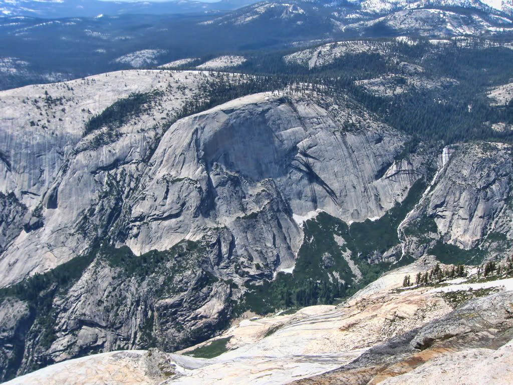
(the view down into Yosemite Valley from Clouds Rest)

Visible features in the photo above include: Half Dome, Sentinel Dome, Glacier Point, The Pinnacles, Quarter Domes, Tenaya Canyon, Tenaya Creek, Mirror Lake, Yosemite Valley, Washington Column, North Dome, Basket Dome, Snow Creek Falls, and El Capitan, among others.... UNBELIEVABLE view.

These photos come nowhere close to caputuring the sheer size of this landscape. By far the best view I've ever had atop a peak.

Has anyone else tried this as a day hike from the Valley? We had a hard time finding any info on how difficult it would be... We can report that it is possible, though you may need a few days to recover fully. The entire trip took us 12 hours, getting back just before sundown; some steep terrain up there.

And I'd do it again in the blink of an eye. 8)


Here are a couple bonus shots for the hell of it:
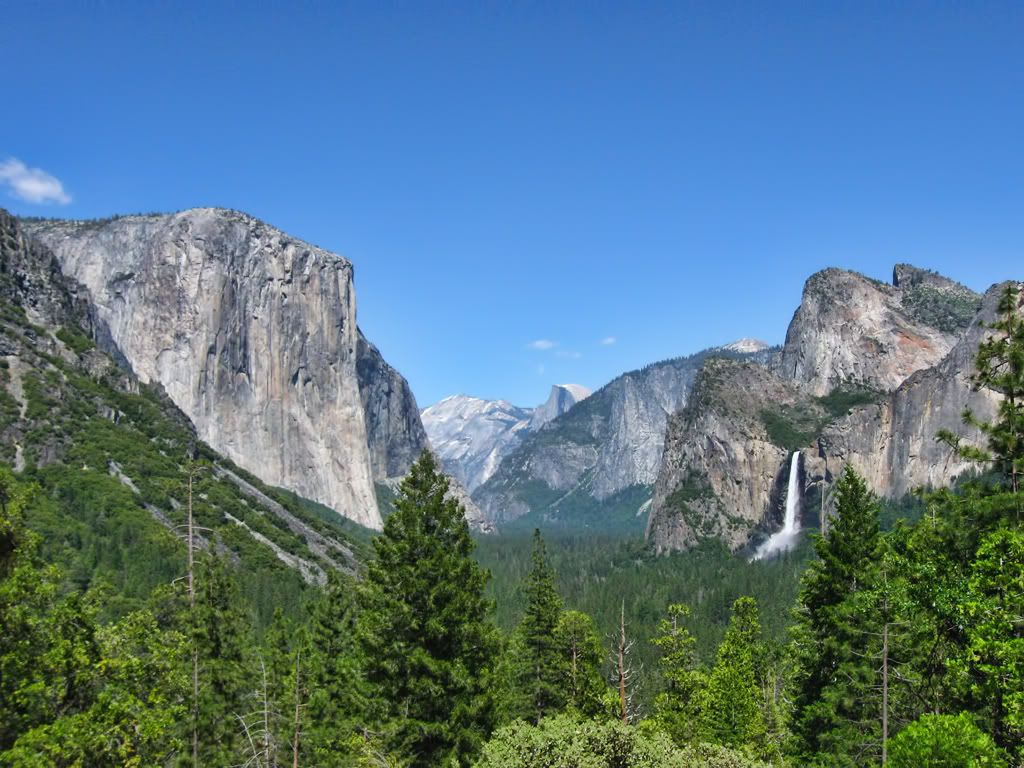
Image
Tunnel View

Image
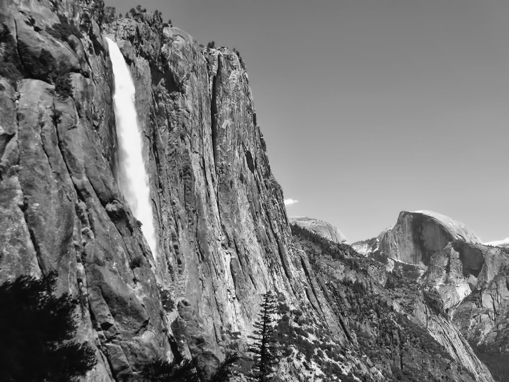
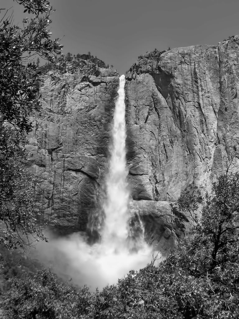
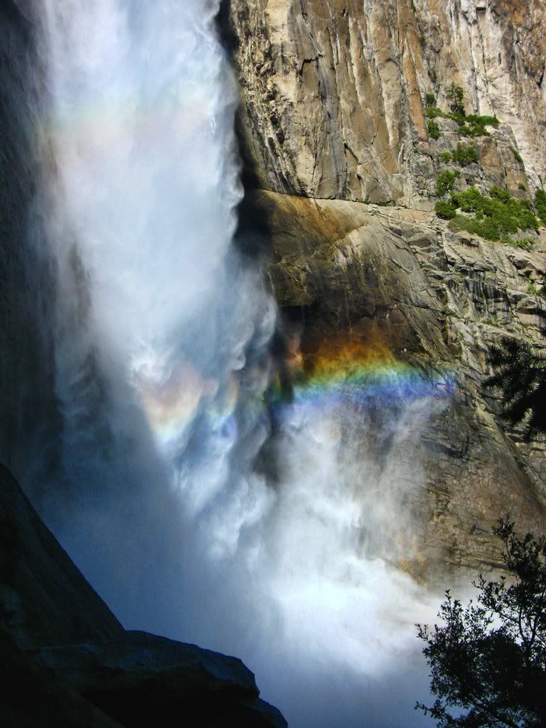
Impersonating Ansel Adams Halfway Up Upper Yosemite Fall
User avatar
robnokshus
Posts: 130
Joined: Fri Apr 04, 2008 7:25 am

Post by robnokshus »

Great TR and pics! Yosemite is a special place.

How is the valley handling all of the runoff? I remember back in the 90s when a pineapple express came through and caused some major flooding.
User avatar
lilbitmo
Posts: 1092
Joined: Tue Mar 04, 2008 9:44 pm

Post by lilbitmo »

Great shots and trip report, that water flow is crazy :D thanks for sharing.
User avatar
Elwood
Posts: 612
Joined: Fri Aug 15, 2008 5:23 pm

Post by Elwood »

Beautiful shots! Thanks for the post.
User avatar
Burchey
Posts: 304
Joined: Tue Dec 28, 2010 11:28 am

Post by Burchey »

Dude, your pictures make me want to punch myself in the face. What a beautiful trip that was! Did you enjoy a brew along the trail?
User avatar
mcphersonm80
Posts: 243
Joined: Mon Aug 23, 2010 11:46 am

Post by mcphersonm80 »

Thanks for the compliments, all!

robnokshus wrote: How is the valley handling all of the runoff? I remember back in the 90s when a pineapple express came through and caused some major flooding.
The valley actually wasn't impacted all that much... Obviously the river and streams were all out of control and the meadows were flooded, but all the campsites, roads, trails, etc were open. The backcountry was (and continues to be) hit pretty hard, in fact a couple backpackers this week were swept away and killed up near Hetch Hetchy. :(
Burchey wrote:Did you enjoy a brew along the trail?
Tragically, we left them in the bear locker... Didn't realize it until we were halfway up. It sucks, because now we have to go alllll the way back to Yosemite and do the whole hike again to get our proper summit shots. :wink:
User avatar
AW~
Posts: 2038
Joined: Mon Oct 01, 2007 12:00 pm

Post by AW~ »

nice achievement....I was thinking down Tenaya was an all-day canyoneering hike, and you did twice the distance and summited Clouds Rest.

Thats a rare picture of Snow Creek...nice, but too much water. I bet its bolted, but kept a secret.

Nevada Falls...simply insane water.
User avatar
cougarmagic
Posts: 1409
Joined: Wed May 07, 2008 5:21 pm

Post by cougarmagic »

Burchey wrote: Dude, your pictures make me want to punch myself in the face.
:lol: Same here. Thanks so much for the water photos! I really wanted to see it this spring with the unusual conditions, but haven't made it out there.

What an awesome hike. I'll have to try it someday.
User avatar
norma r
Posts: 707
Joined: Thu Nov 06, 2008 4:22 pm

Post by norma r »

Ahhhsome photos McP! :D Love, love LOVE Yosemite and everything you did. Hiking Cloud's Rest is a treat! Capturing the views as you did and being spellbound in my favorite place on earth makes me smile from the inside out. If one chooses their itinerary wisely and doesn't spend too much time amongst the crowds there is nothing not to love about Yosemite. Great shot from the top of Nevada Falls. What strength!
User avatar
mcphersonm80
Posts: 243
Joined: Mon Aug 23, 2010 11:46 am

Post by mcphersonm80 »

Thanks again for the compliments, it's really tough to take a bad picture there! :lol:

It really is an incredible place. Next time we're going to stay up in the high camps in the backcountry to avoid the valley crowds altogether and get into some of those higher ranges.

Some more water to quench your thirst:

Image
More Ansel Impersonation

Image
Tiny bit of a double rainbow going on here :)

Image
Top of Yosemite Falls. THIS was a stunning view... the photo captures only a bit of it.
User avatar
Burchey
Posts: 304
Joined: Tue Dec 28, 2010 11:28 am

Post by Burchey »

mcphersonm80 wrote: Tiny bit of a double rainbow going on here :)
What does it mean?!?!?!??!?!
User avatar
jmac
Posts: 33
Joined: Mon Mar 07, 2011 3:19 pm

Post by jmac »

I'm so jealous. Beautiful!
User avatar
TracieB
Posts: 216
Joined: Mon Feb 22, 2010 8:57 am

Post by TracieB »

Beautiful pix, so much runoff! I would take that route over half dome any day...(as long as the skeeters aren't having a convention at Sunrise)
Thanks for sharing!
User avatar
Hikin_Jim
Posts: 4686
Joined: Thu Sep 27, 2007 9:04 pm

Post by Hikin_Jim »

Pure awesomeness!

HJ
User avatar
jwas1
Posts: 1
Joined: Thu Jan 05, 2012 8:40 am

Post by jwas1 »

A friend and I did Happy Isles, Clouds Rest and back to HI about 10 years ago. I was 55, he was 58. It was the second week in May so the falls looked like your pics. The trail is seriously steep after you pass the Half Dome cutoff. We made it to within 500 feet of the top of CR when we were caught in a thundersnow storm. Fortunately we had the right clothing. Trip down was interesting, snow to sleet to rain with generous amounts of lightning bolts for good measure. We could hardly walk the next day, but I would not trade that hike for anything else I have ever done.
Post Reply